Category Archives: Walking

Blogs can connect people purposefully and with pleasure

Some people refer to social media as a force which separates people, however in my experience I see it brings people together. Through my blog I have ‘met’ interesting people with whom I might not otherwise have connected and I have learnt a great deal.  My blog has introduced me to a world of wonderful ideas, beautiful environments, and to people who demonstrate they are vitally alive.  Every day I love to open my laptop and check who has sent me a comment or an email or to discover and read a recent blog posting by someone I am following.

Earlier this year, blogger Denise from upstate New York emailed to tell me she was coming to Tasmania and would love to walk in one of the locations I had previously written up.  This started what has now developed into a strong online relationship.  Eventually we met and walked when she visited Tasmania.

Denise at MONA 2015

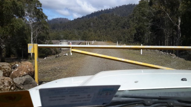
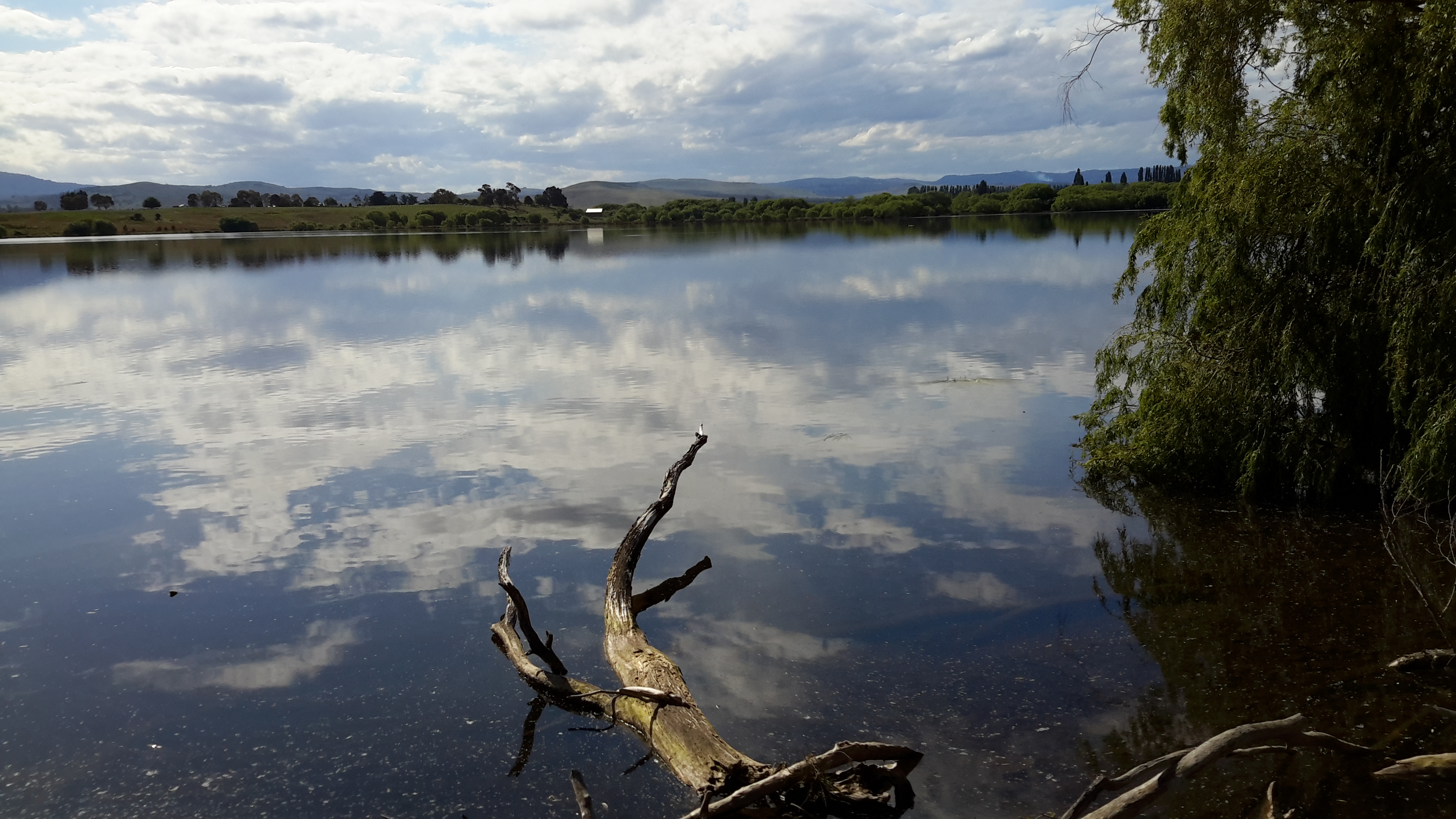
The photo above shows Denise heading off towards the car park. It was the end of the day after we had walked from GASP (Glenorchy Arts and Sculpture Park), lunched at MONA (Museum of Old and New Art), checked out the current exhibitions, and realised it was time to travel home.

This November has been a special month for Denise because she decided to highlight special people in her life: she selected 30 people and wrote a daily post throughout November. I was immensely surprised when she added me in. Denise’s post can be read on her blog ‘Dee Scribes’  When you have read this, you may like to read some of her earlier postings.  As a thoughtful, intelligent and articulate advocate for redefining disability, she is second to none.  Denise is a professional with  humour and flair.  I have learnt so much more by reading her blog posts. Thank you Denise.

Lake Repulse Dam

Lake Repulse Map

Looking inland, Michelle’s photo shows the Lake Repulse Dam wall backed by Lake Repulse, with Cluny Lagoon in the foreground.

PA280087 Repulse dam.JPG

Looking towards Hobart, my aerial photo below shows Lake Repulse, the Repulse Dam and then Cluny Lagoon in the distance.

20151028_114913

Chantale’s photo provides an excellent overhead view of the Lake Repulse Dam. The photo also gives walkers an indication of the challenges which the landscape offers beside Lake Repulse.

IMG_3893Repulse Dam.JPG

For vehicle drivers, the Dam is reached by heading westward past the Ouse township, turning off the Lyell Highway and travelling down Lake Repulse Road. Aerial views show the roads at the Dam site clearly.

20151028_114858.jpg

The road continues across the Derwent River below Repulse Dam giving you an excellent opportunity for a close look at the structure.

20151029_151244

20151029_151355.jpg

The western end of Cluny Lagoon, located a little downstream from the Repulse Dam, is stunning.

20151029_151317.jpg

To walk further inland around the Dam wall and then along the edge of Lake Repulse, the following photograph gives an indication of the landscape to be encountered.

20151029_151400.jpg

Michelle’s photo below shows part of the 8 km long Lake Repulse is a handsome water storage area.

PA280088Lake repulse.JPG

Historical information can be read, although I cannot vouch for the accuracy of the information.  Hydro Tasmania provides details and adds a technical fact sheet.

Cluny Dam

Cluny Dam holds back the water of Cluny Lagoon.  Compared to other dam walls and other lagoons on the Derwent River, these are comparatively small.  The Cluny Dam wall is easily accessible by driving from the Lyell Highway down Lake Repulse Road and then making a left hand turn onto a road which takes you to the water.

20151029_155825.jpg 20151029_160029.jpg

20151029_160115.jpg

The westward end of the Lagoon finishes slightly east of Lake Repulse Dam further upstream.  Parts of the shore line are open forested and there are no walking challenges heading westward around the Lagoon, if you walk on the northern side (the side you arrive at from the Lyell Highway).  The river distance covered between Cluny and Lake Repulse Dams is a mere 4 kms.  Private property and creeks will make the southern side less accessible for walking.

Michelle’s aerial photo shows the beautiful Cluny Lagoon. The Cluny Dam Power Station structure is roughly  located in the middle of the photograph.

PA280086Cluny dam and lagoon.JPG

Chantale’s aerial photo shows the Cluny Dam.

IMG_3895Cluny dam.JPG

This is an extremely picturesque part of the world and one that is easily accessible by car for blog followers who want to take a picnic and enjoy the scenery.

Hydro Tasmania offers a technical factsheet about Cluny Power Station.

Dunrobin Bridge over Meadowbank Lake


Meadowbank Lake map.jpg

Meadowbank Lake, a large spread of dammed water through which the Derwent River runs,  is located west of New Norfolk: an expanse of water which measures at least 15 kms in length.  Like many other dams and lakes on the Derwent, Meadowbank has been designed for electricity generation purposes.  The Meadowbank Power Station was commissioned in 1967. In a document The Power of Nature, Hydro Tasmania provides information about Meadowbank and the other electricity-generating lakes and stations across Tasmania.

The Dunrobin Bridge carries Dawson Road; a road which extends from the Lyell Highway, crosses Meadowbank Lake then continues on the western shore until it reaches Lake Repulse Dam.

The first Dunrobin Bridge over the Derwent River was built in the early 1850s. The National Library of Australia’s Trove repository of historic documents provides information from a 1910 copy of The Mercury newspaper: ‘Dunrobin Bridge was built over the Derwent, between the Ouse and Hamilton during the regime of Governor Denison. Governor Denison’s rule in Tasmania lasted from 1847 to 1855. It is a fine stone structure, and the cost is stated in the Legislative Council Journals of 1856 to have been £13,875. Its construction seems to have occupied six years, from 1850 to 1856. Dawson’s Road, which was named after the man who superintended its construction, went from Dunrobin Bridge…’ westwards.

In 1900, according to the blog Tasmanian Gothic , the bridge looked like:

Dunrobin Bridge

Dunrobin Bridge

The bridge was damaged during flooding in 1952 according to Linc Tasmania.

Dunrobin 1952

This site shows the remains of the bridge in 1963.

Dunrobin Bridgen1851

Once the Meadowbank Dam was built, the gorge behind gradually filled with water. The remnants of the old Dunrobin Bridge apparently remain beneath the current Meadowbank Lake.  I cannot find when the new Dunrobin Bridge was built.  Anybody know the date?

The photos of Chantale, Michelle and I show the current bridge across the northern section of Meadowbank Lake.

IMG_3898Dunrobin bridge.JPG PA280082Dunrobin Bridge over Meadowbank Lake.JPG

20151028_114634

At ground level, the Dunrobin Bridge curves across the Lake in a stunning simple arc.

20151029_161758.jpg 20151029_161743

As I walked in the vicinity, time and again I was almost overwhelmed by the beauty of the landscape.

20151029_161746.jpg

20151029_161842.jpg


Tarraleah Canal No 2

Derwent River water from storage in Lake King William travels overground via a number of canals towards Tarraleah Power Station.

The water pours down a carefully calibrated though seemingly slight gradient at an exceptionally fast rate. When I stopped at a canal crossing walkway, I could see the concreted sides offered no purchase if you fell in; there were no hand-holds to grasp. Clearly, if you found yourself in that water, you would never get out and soon find yourself tumbling through the penstocks before reaching the Power Station. At some point you would drown.

Listen to our estimation of the situation.

Watch this video to hear the rush.

20151029_133916.jpg

This canal cuts a significant swathe through the landscape roughly one to two hundred or so metres away from the Derwent River, as noted in Chantale, Michelle and my aerial photos.

IMG_3880.JPG

PA280107 Canal 1 and Butlers Gorge Rd.JPG

20151028_120052.jpg


Lake King William

Lake King William map

At the lower edge of my aerial photo below sits the Clark Dam with Lake King William backed up behind. The photo also shows clearly the road/track to be taken westwards to walk along the edge of the Lake.

20151028_120116.jpg

Behind the massive curved wall of Clark Dam sits millions of tonnes of water in a glorious expanse that extends over 15 kilometres northwestwards.

20151029_123306.jpg

20151029_123353.jpg

At the boat ramp, a sign provides information for visitors.

20151029_123855.jpg

The water level of the Lake is extremely low.

20151028_120129.jpg

20151028_120307

I loved the silver grey driftwood on the rocky shore and imagined the creation of rustic furniture.  That might become my next project.

20151029_125002.jpg

The views across the Lake were sensational.

20151029_125012

20151029_125026.jpg

20151029_125114.jpg

20151029_125134

I should have chosen a panoramic photo option.  Fortunately my chauffeur and companion walker Andrew did take such a stunning shot.

Andrews Lake King William panorama 1451 (1)

While there was no-one else around during our visit, this fireplace was an obvious sign of past visitors.

20151029_125152.jpg

I expect to walk the length of Lake King William solo before Christmas: 15 km ‘as the crow flies’, and possibly 30 kms to walk at ground level. Before I reach the Lyell Highway way up in a north westerly direction, the Derwent River will empty into Lake King William.

When I flew up the Derwent River, and when Lake King William came into view, it was clearly a massive stretch of water.  See Michelle’s photos below.

PA280106.JPG

PA280108Lake King William.JPG

PA280109lake King William.JPG


Clark Dam

Clark Dam map

Late in October 2015, on the northern side of the Derwent River, I walked at Clark Dam built on Butlers Gorge, and then along a little of Lake King William. We know that in 1835, George Frankland followed the Derwent River in a southwesterly direction from Lake St Clair across huge plains until the gorge country commenced. The Clark Dam has been built at that junction, and over the decades the plains behind have been swamped with what is now known as Lake King William. The location is a place of extreme weather conditions, from blizzardly snows to ferocious and bitterly cold winds and to scorching sunny days, but always stunning.

Clark Dam is a massive piece of engineering in a beautiful but remote area of central Tasmania.

20151029_122628.jpg

20151029_122354.jpg

20151029_122454.jpg

Chantale’s aerial photograph below puts the Dam and Lake King William into context.

IMG_3876Clark Dam

Michelle’s photos below provide similar information.

PA280110Clark Dam.JPGPA280111Clark Dam.JPG

In 1952 a special tribute plaque was installed on the Dam: ‘The Hydro Electric Commission, Clark Dam, A Tribute, To those who conceived this project, who laboured on its construction, who made its accomplishment possible, a united effort to harness the forces of nature for the benefit of mankind.’

20151029_122335.jpg

Another plaque nearby records: ‘The Hydro Electric Commission, Clark Dam, Named in honour of his Excellency, Sir Ernest Clark,  G.C.M.G., K.C.B., C.B.E., Governor of this State, 1933- 1945.’

20151029_122849.jpg

My chauffeur for the day Andrew, remembered years ago he walked across the Dam wall but that is now impossible.

20151029_122312.jpg

20151029_122459.jpg

This means it is impossible to change from one side of the Derwent River to the other at this point.  In the photo below despite the walkway beckoning a walker, it was impassably gated at the other end.

20151029_123303.jpg

The reminder that the Clark Dam is part of an electricity generating project is everywhere.

20151029_122528

The complex that makes up Wayatinah – posting 7 of 7

The Derwent River at Wayatinah

20151029_113841.jpg

20151029_113829.jpg

From my aerial experience, I know the river looks like this all the way north-westwards of the Wayatinah Lagoon to Clark Dam at Butlers Gorge; a distance of not much less than 30kms in very steep country with numerous creeks cutting the landscape and flowing into the Derwent River.  In the post introducing George Frankland’s walk, mention was made of the Nive River. The Nive flows into the northern end of Wayatinah Lagoon. Before the Wayatinah dam was built, the Nive flowed directly into the Derwent.  The river edge between Wayatinah and Butlers Gorge is where Frankland and his expedition found two to four miles per day was the going rate because of the density of the bush. And then they gave up and walked inland away from the Derwent River.

 20151028_115431

20151028_115442.jpg  
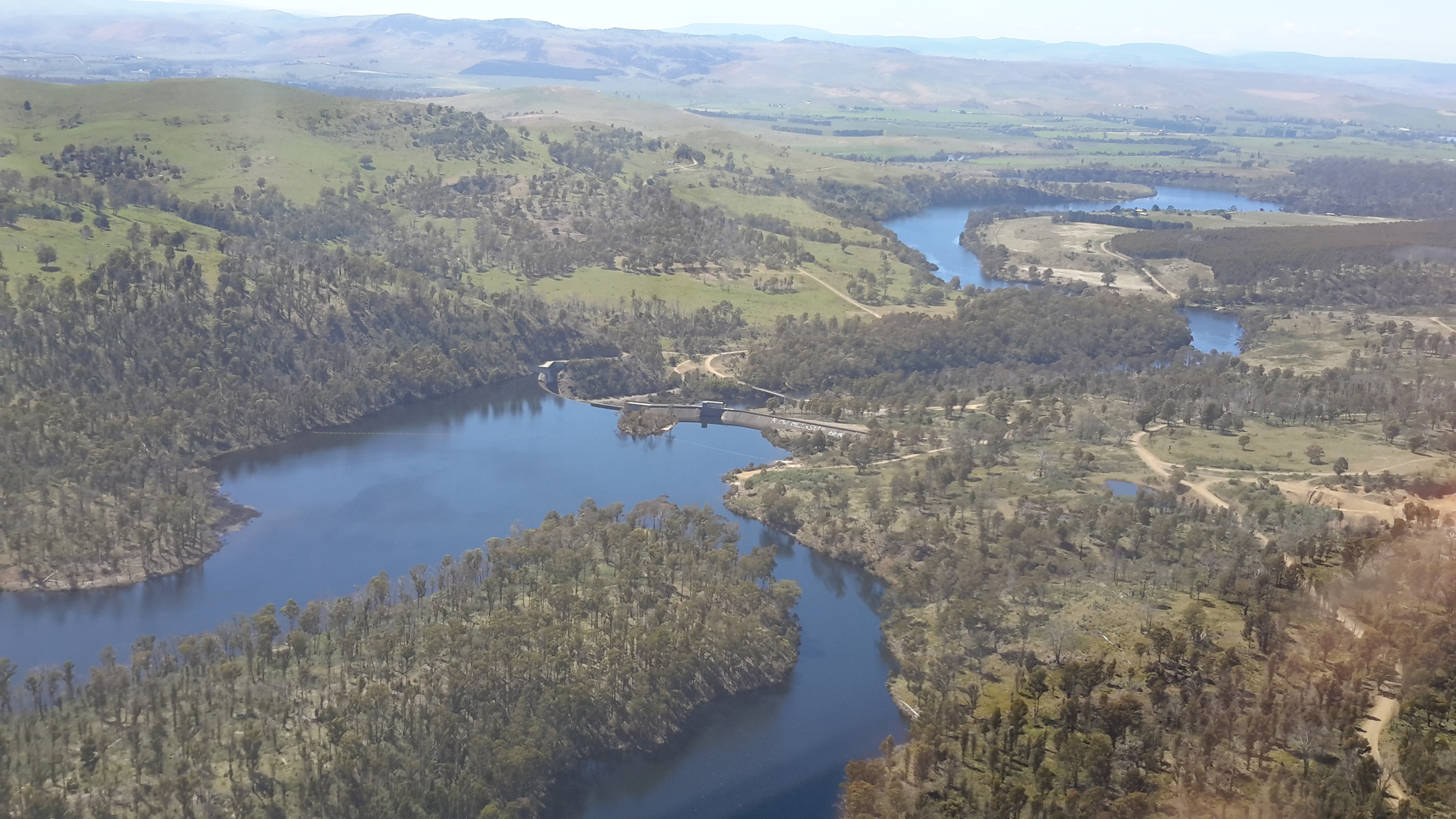
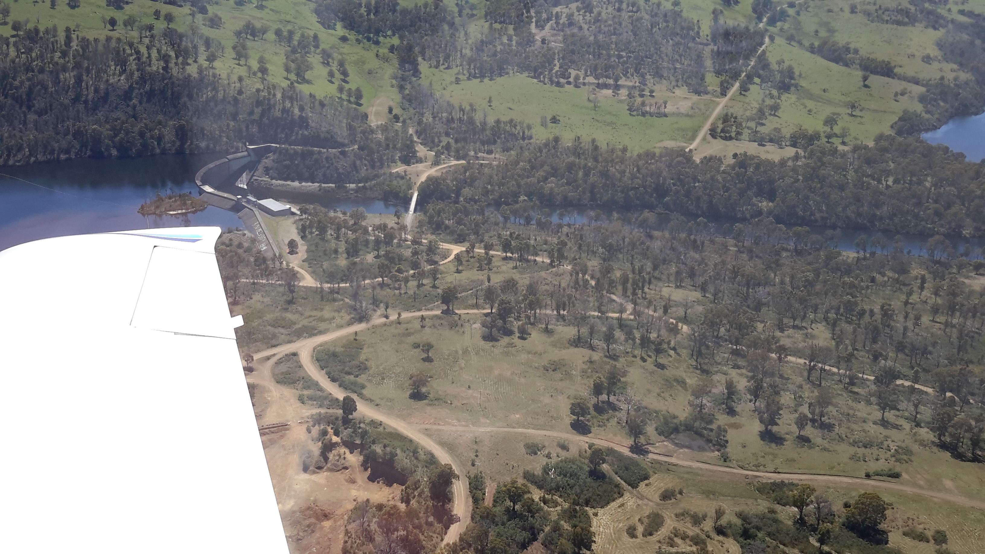
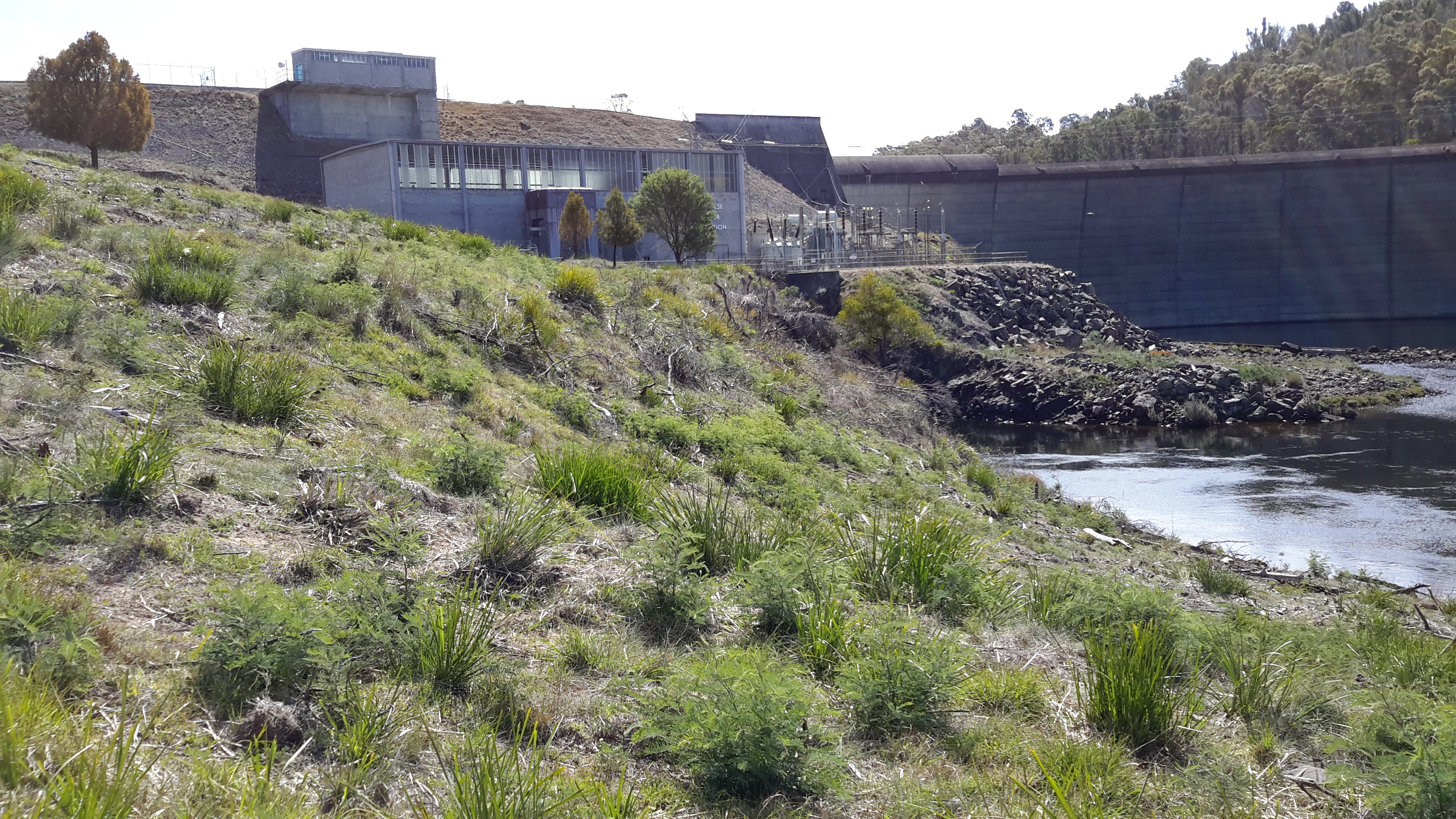
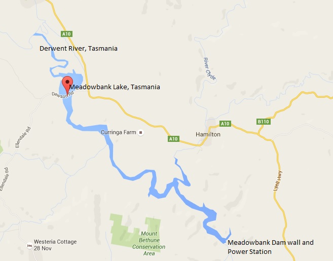
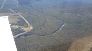
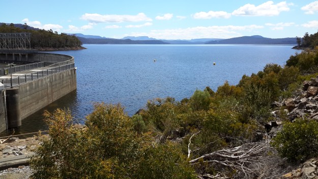
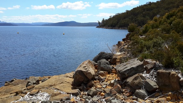
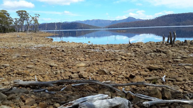
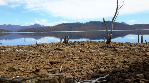
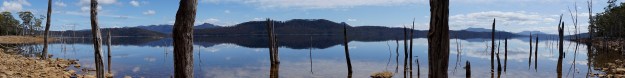
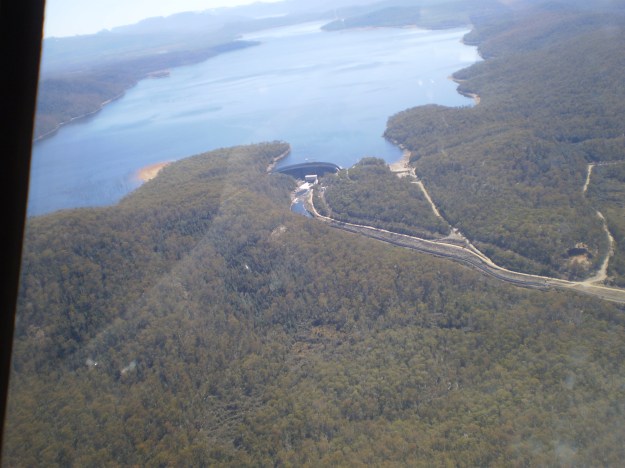
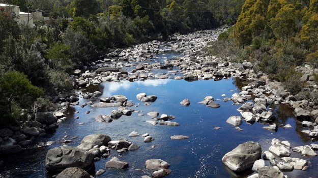
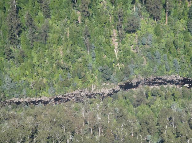
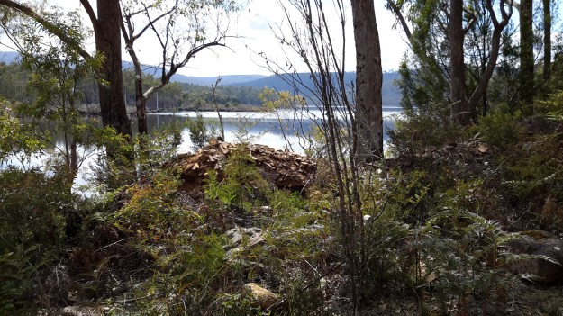
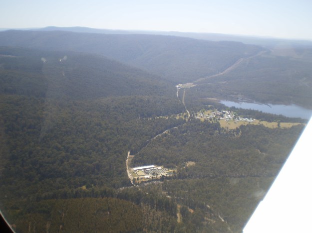
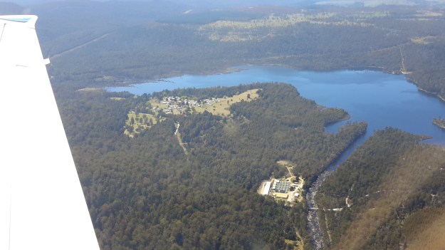
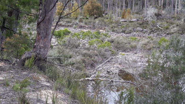
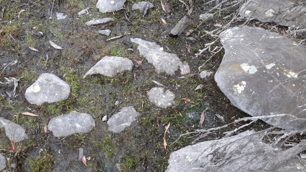
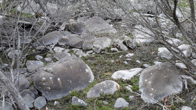
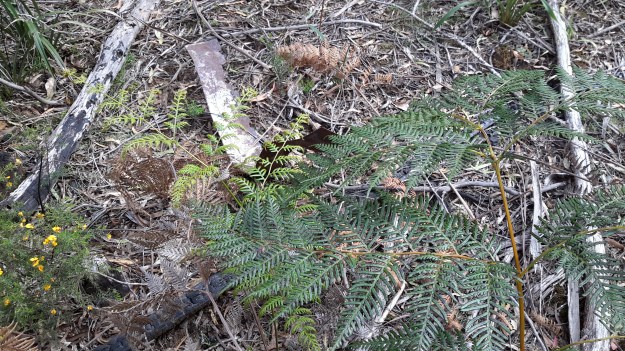
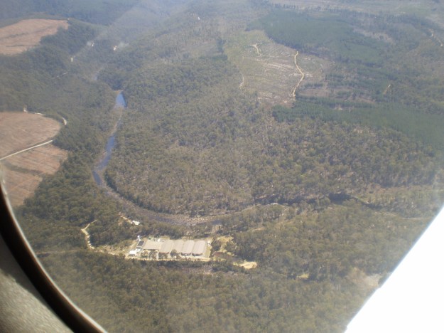
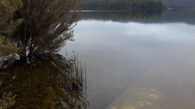
A couple of Chantale’s aerial photos show similar rocky beds along this remote and wild part of the Derwent River.
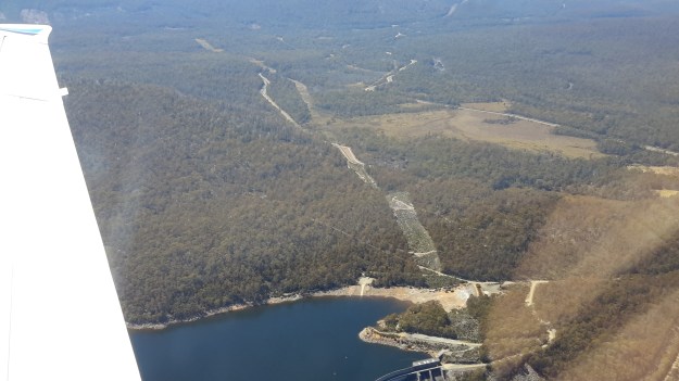
IMG_3828dryish river bed.JPG

IMG_3832.JPG


The complex that makes up Wayatinah – posting 6 of 7

Wayatinah Dam

Instead of driving back to the Lyell Highway straight away, Andrew and I took a detour left off Long Spur Road and arrived at an impasse with the Wayatinah Dam ahead.  I had hoped we could drive across but this wasn’t to be.

20151029_111237.jpg

Nevertheless the water level was low and it was easy to walk across and connect with the road from Wayatinah township a few kilometres away.

20151029_111352.jpg

Decades ago thousands of tonnes of rock had been blasted to create a slipway beyond the Dam and the Lagoon. The scale of that effort was very impressive.  Clearly huge volumes of water had passed over the Dam in the past; these hard volcanic rocks were somewhat smooth.

20151029_111453.jpg Dam slipway.jpg

Wayatinah Lagoon backed up to the dam wall.

20151029_111239.jpg 20151029_111241.jpg

Looking across the Lagoon gave me an immense sense of calm.

20151029_111527.jpg

Examples of the flowering vegetation:

20151029_111842.jpg

20151029_111849.jpg

Later we drove through the Wayatinah township.  Michelle’s aerial photo shows the town on a cleared hill with some of the Wayatinah Lagoon visible.

PA280097Wayatinah township.JPG

After passing through the town, we proceeded down to the dam wall and were met with locked gates.

20151029_114511.jpg

A sense of the scale of the town in relation to the Lagoon in relation to the Dam can be seen in my aerial photograph.

20151028_115428.jpg

The complex that makes up Wayatinah – posting 5 of 7

The Florentine River flows into the Derwent River.

Westwards from the Wayatinah Power Station, Andrew and I covered some kilometres of bush, clambering over fallen trees and through a mesh of understorey vegetation.  The marks of mankind were clear despite the absence of tracks; various weeds were flourishing.

20151029_091112.jpg

And through the bush in two different locations a well secured lidded white box sat alone with a surname and phone number written on top.  These were not bee hives and we could not determine their function.

20151029_093657.jpg

Once we had walked further westwards past the meeting of the Florentine River with the Derwent River, the Derwent presented with a low water level and stony river base.

20151029_094042.jpg

20151029_094127.jpg

However there were sections containing more water.

20151029_094048.jpg

Along the way we discovered the remains of an old shed and an ancient water level monitoring system, through which a bush fire had passed.

20151029_101015.jpg 20151029_101039.jpg

20151029_100953.jpg

20151029_101649.jpg

Bits of iron and steel were scattered through the cleared surrounds.

20151029_100936.jpg

20151029_100939.jpg

I loved the way the corrugated iron had been ‘stitched’ with wire to create the building. Very enterprising.

20151029_102240

20151029_102243

Amidst this debris a lone native orchid bloomed.

20151029_103015.jpg

Down next to the river bed, a water level height gauge was marked in imperial measurements, therefore indicating a date before the mid-1960s.

20151029_101155.jpg

20151029_101151.jpg

20151029_101548.jpg

20151029_100933.jpg

20151029_101745.jpg

We wondered what sort of electronic or satellite related devices and measurement tools were used these days.

I found this trackless walk to be very hard going (at the pace Andrew set) because negotiating the bush took thought and time.  I reflected on the challenges this section would pose if I had been carrying a full backpack.

Michelle’s aerial view gives an idea of the dense bush on the top side of the River where we walked.

PA280093Florentine & derwent intersection.JPG

The complex that makes up Wayatinah – posting 4 of 7

North west end of Lake Catagunya.

A side track from the Wayatinah Power Station took us to Lake Catagunya where the sign shows evidence of being used for target practice.

20151029_090228.jpg

The Lake was still.

20151029_090233.jpg

Tiny white butterflies flitted at the water’s edge in the tall grasses.  Watch this short video.

An aerial shot by Michelle below indicates the size of the Lake Catagunya. Note the comparatively tiny power station in the centre of the photograph.

PA280092 Lake Catagunya with Wayatinah PS.JPG

The complex that makes up Wayatinah – posting 3 of 7

Wayatinah Power Station

On Thursday 29 October 2015, Andrew drove me off the Lyell Highway and down Long Spur Road to Wayatinah Power Station. An underground pipeline from Wayatinah Lagoon fills penstocks which fall down steep hills to the Power Station.  The water exiting the Station empties into Lake Catagunya, through which the Derwent River flows.

20151029_090827.jpg

Watch the video.

20151029_091538.jpg 20151029_091554.jpg


The complex that makes up Wayatinah – posting 2 of 7

Wayatinah Lagoon

Having taken a turn off Long Spur Road, Andrew and I were the only visitors to this misted expanse of water on the 29 October 2015, the characteristics of which were almost total silence and an immense sense of quiet peacefulness.  I felt privileged to stand in such a serene environment, and smell the clean fresh air.

20151029_084702 Liapootah PS on hill in distance.jpg 20151029_084713.jpg 20151029_084742.jpg 20151029_084845.jpg

Watch the video.

A boat ramp, away from the infrastructure that accepts the water to be transported to the Wayatinah Power Station, ensures the safety of anglers from any unexpected water level changes.

20151029_084906.jpg 20151029_084829.jpg

Michelle’s aerial photo below gives some indication of the size of this Lagoon, and the way the river bed snakes away from it amidst dense vegetation heading towards Hobart.

PA280095 Wayatinah Lagoon.JPG

The complex that makes up Wayatinah – posting 1 of 7

As an introduction to the widely spread features of Wayatinah, the Derwent River runs in a south easterly direction past many acres of State Forest before flowing into the expansive Wayatinah Lagoon, a waterstore located five or so kilometres north of the Wayatinah Power Station. The Lagoon’s water is piped to the Station first underground and then overground in massive white pipes.

Excess water from the Lagoon seeps, dribbles or spills back into the Derwent River at the Wayatinah Dam, which isn’t far from the Wayatinah township. Then the low water level of the river trickles over a rocky base until it catches the flow of the  Florentine River before continuing on to become part of Lake Catagunya.  The western most reaches of the Lake have already formed before the river reaches the Wayatinah Power Station.

Aboriginal Cultural Walks in Tasmania

Tasmania’s Parks and Wildlife Service provides information about an Aboriginal Cultural walk, the Needwonnee Walk, in the very remote southwest of Tasmania.  In addition, information is provided about a cultural walk at Lake St Clair – here. The Tiagarra Walk in Devonport on the north-west coast of Tasmania, is introduced on this website. Last weekend I visited Devonport and went to walk in this Mersey Bluff area before learning that the site was closed.  Alas.

Mersey Bluff Devonport Nov2015.jpg

However, I was born and grew up west of Devonport where I could look out at Bass Strait during those early years of my life.  Standing and listening to Bass Strait with the onshore breeze blowing into my face brought back many memories.  This felt right. This was my place. I knew my place.

Bass Strait Dpt.jpg

Watch this video to hear the sound of the Bass Strait waves lapping the stony shore near Mersey Bluff.

Journalist David Beniuk reported (Sunday Tasmanian 1 November 2015) that a survey of Australian holiday makers found ‘more than a third of domestic tourists would consider an Aboriginal cultural walk on their next trip to Tasmania.’ He went on to say ‘The results have buoyed the proponents of a four-day trek through the traditional homeland of Tasmania’s Aborigines from wukalina (Mt William National Park) to larapuna (Eddystone Point) in the North East.’

The Aboriginal Land Council of Tasmania is seeking funds to build huts based on Aboriginal building practices, and to set up the walk as a commercial operation.  The walk would include traditional stories, bush tucker and premium Tasmanian produce.  I like the concept of a four day walk because it provides sufficient time for walkers to forget their city or other lives and immerse themselves in the sights, smells, sounds and tastes of the land.