

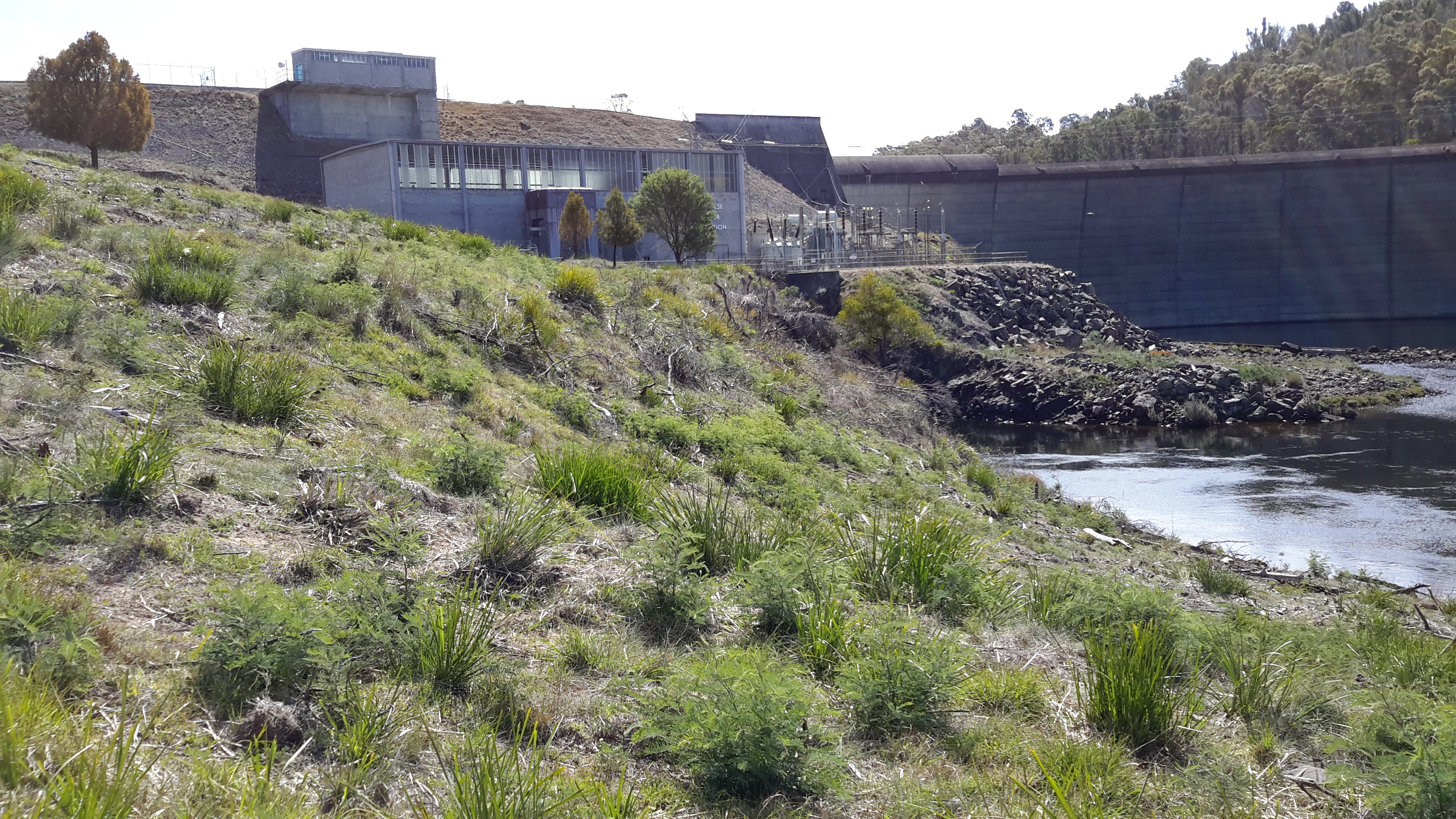
Looking inland, Michelle’s photo shows the Lake Repulse Dam wall backed by Lake Repulse, with Cluny Lagoon in the foreground.

Looking towards Hobart, my aerial photo below shows Lake Repulse, the Repulse Dam and then Cluny Lagoon in the distance.
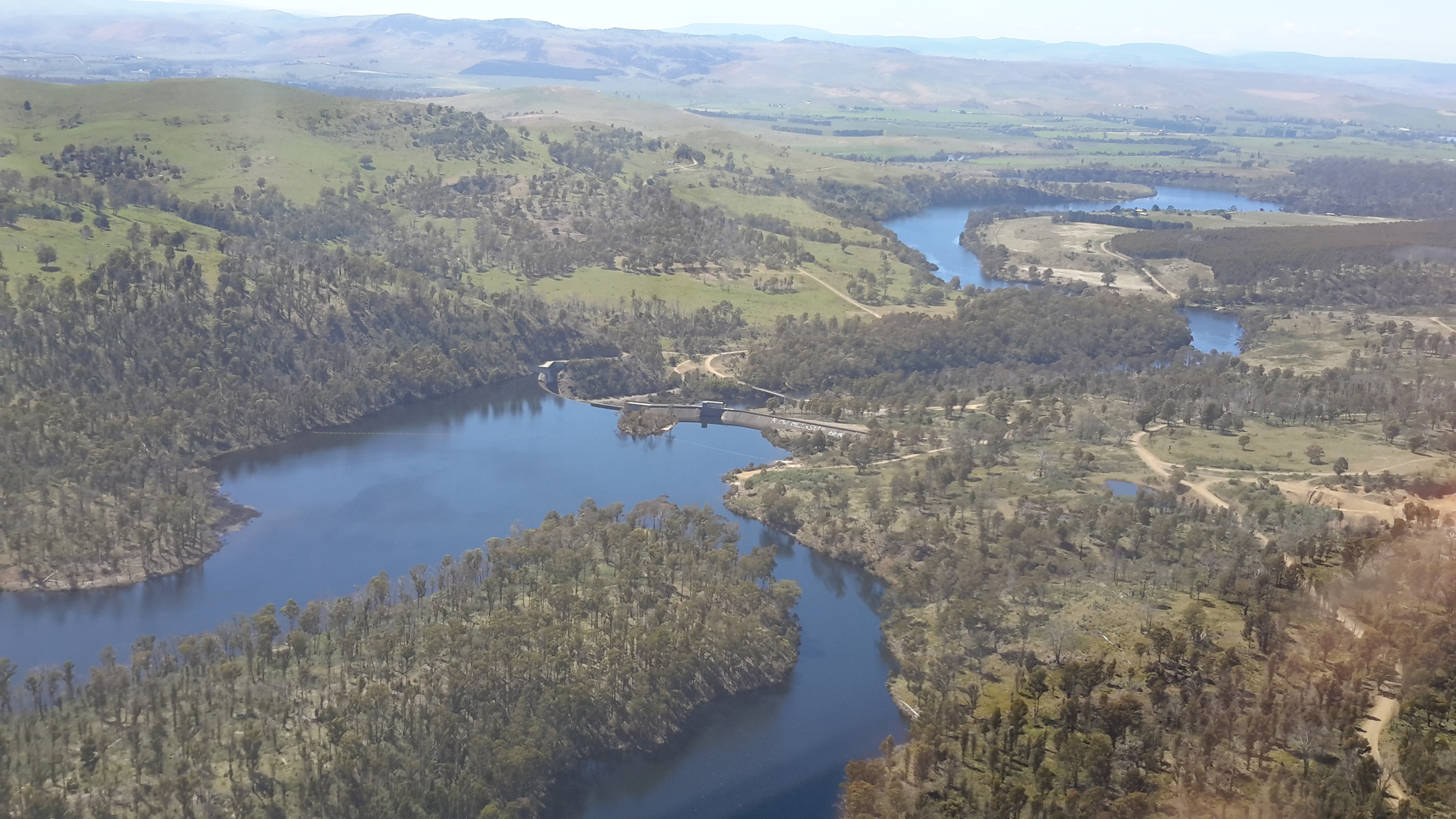
Chantale’s photo provides an excellent overhead view of the Lake Repulse Dam. The photo also gives walkers an indication of the challenges which the landscape offers beside Lake Repulse.

For vehicle drivers, the Dam is reached by heading westward past the Ouse township, turning off the Lyell Highway and travelling down Lake Repulse Road. Aerial views show the roads at the Dam site clearly.
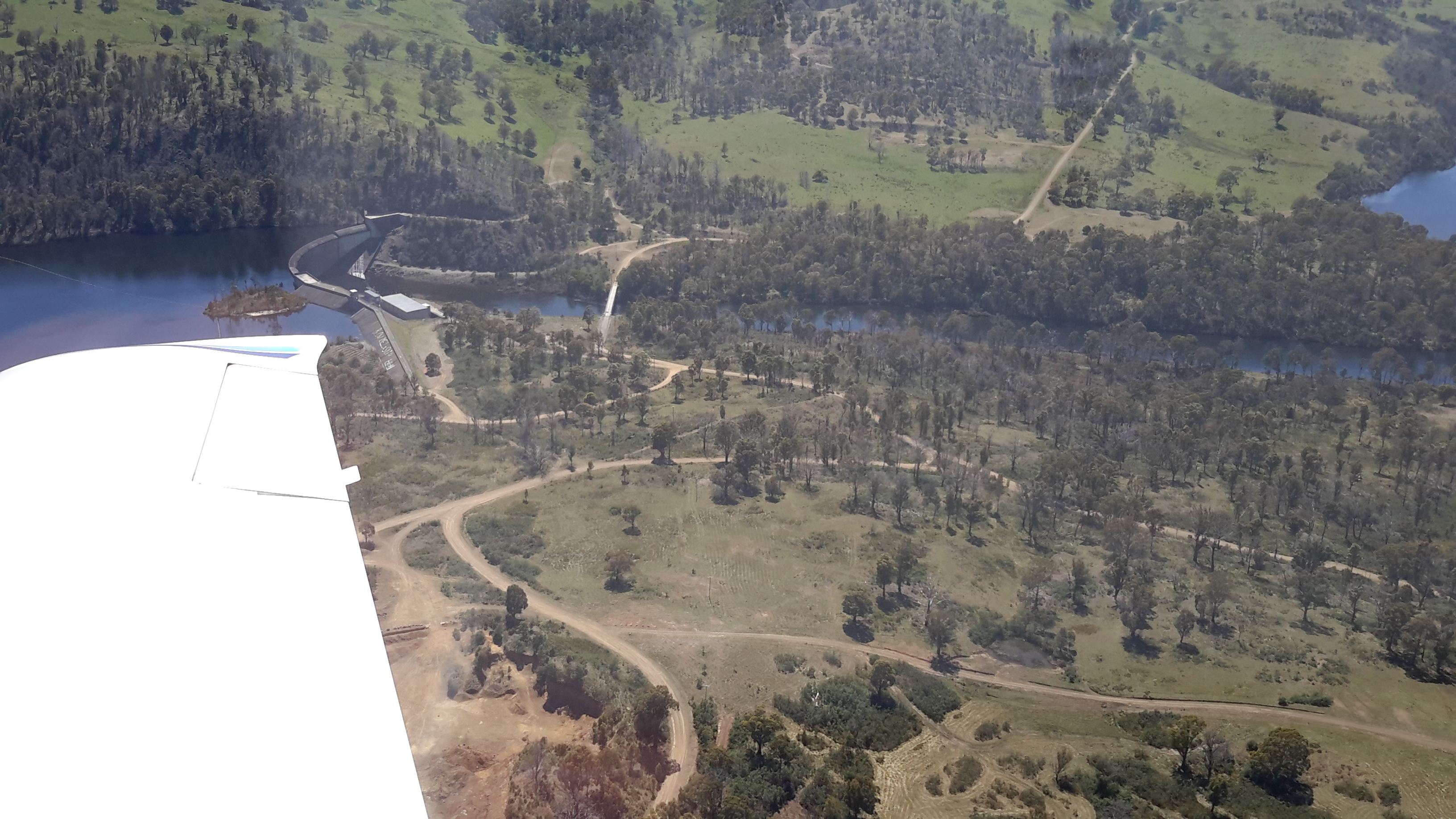
The road continues across the Derwent River below Repulse Dam giving you an excellent opportunity for a close look at the structure.

The western end of Cluny Lagoon, located a little downstream from the Repulse Dam, is stunning.

To walk further inland around the Dam wall and then along the edge of Lake Repulse, the following photograph gives an indication of the landscape to be encountered.

Michelle’s photo below shows part of the 8 km long Lake Repulse is a handsome water storage area.

Historical information can be read, although I cannot vouch for the accuracy of the information. Hydro Tasmania provides details and adds a technical fact sheet.

I’ve just caught up with your posts from past couple of weeks. Your new approach of writing about your walks, with both ground level and aerial photos give a wonderful perspective on this delightful landscape. I enjoy your snippets of history too. I didn’t realise there were so many dams along the river. Happy hiking.
LikeLike
Hi Ruth I had missed reading your comments over the past couple of weeks and was hoping all was well with you – but I can see you have been out discovering new places. I love your photo of the soft pathways of Liffey Falls.
In my blog, the aerial shots complement what I am doing on the ground and they also help cover off sections where I am keen not to identify the landowners who are supporting me (because they don’t want to be identified). The other advantage of the aerial shots is that they show the scale of our bush and the diversity of land use.
LikeLiked by 1 person
You still seem to covering a lot of the river. I look forward to future posts.
LikeLike
I am continuing on, but hampered by inappropriate weather and lack of drivers/chauffeurs when the weather is fine. So slowly goes it for the moment.
LikeLiked by 1 person