Tag Archives: Tasmania

A long distance walk

Hundreds of dedicated long distance trails have been defined over the centuries or more recently in different parts of the world.  To the east, across the ocean from Tasmania, lies the very beautiful country New Zealand and today I learned that a walking trail Te Araroa extends the length of the country over 3068km.

In 2013, Australian Laura Waters completed the trek often walking solo in some of the most challenging parts of the country.  Currently she is writing a book about the experience but, in the meantime, you can read her blog of the walk at http://soultrekkers.com.au/blog/.  An interview with her has been transcribed at http://www.newzealandonfoot.com/catching-up-with-a-te-araroa-thru-hiker.

The June-July 2015 issue of the magazine Great Walks Australia’s Bushwalking Magazine includes an article with glorious photos and her 10 tips for managing such a walk.  I was interested to learn she carried 18kgs at the beginning of her walk, and only 12 kgs at the end – obviously having become more ruthless about what was essential. Laura Water’s trek is another example of someone making their dream happen.  When she says ‘You’re capable of more than you think” and “don’t let fear get in the way of progress. The reality is often never as bad as you imagine it to be”, I hope this will inspire you to seek out your own projects, however large or small and pursue them with a passion – wherever you live, or wherever you travel.

The crustacean that walks – and only in Tasmania

My last post introduced a giraffe who took a long walk. Since giraffes typically walk as part of their locomotion, the surprise of that story cannot be as great as the fact of the shrimp (prawn if you like) which walks around the high creeks and streams which flow down into the Derwent River in Tasmania.

Anaspides tasmaniae from Parks&Wildlife Service

(Photo courtesy of Parks & Wildlife Service Tasmania – http://www.parks.tas.gov.au/indeX.aspX?base=11244)

Geoffrey Smith, in his book A Naturalist in Tasmania (Oxford, 1909), describes the Anaspides tasmaniae. “A number of streams rise in the plateau of Mount Wellington, some of them attaining a considerable size before joining the estuary of the Derwent, and all of them characterised by the beautiful clearness of their water, owing to their beds being formed entirely of hard greenstone boulders.

In the pools of the upper reaches of these streams near the top of the mountain, a very peculiar shrimp-like animal is found.  It is now recognised as one of those survivals of a bygone age of which the Australian continent has furnished so many and such interesting examples. The nearest allies of this animal appear to be some marine shrimps which come down to us as fairly common fossils in the sand deposited round the Permian and Carboniferous seas of Europe and North America: subsequent to this very remote period they do not seem to have existed in the seas, at any rate in the northern hemisphere, so that an enormous passage of the earth’s history has occurred between their peopling the northern seas and their survival on the mountain tops of Tasmania.

The Tasmanian Mountain Shrimp (Anaspides tasmaniae) is sometimes as much as two inches in length, of a brown colour, and walks about on the stones and among the weeds at the bottom of the pools, browsing on the mosses and liver-worts and any small creatures it can catch; it very rarely swims, but when frightened it darts forward by flicking its tail and takes cover under a stone.

In other parts of the world no trace of the animal’s survival has been discovered.

Goethe somewhere remarks that the most insignificant natural object is, as it were, a window through which we can look into infinity. And certainly when I first saw the Mountain Shrimp walking quietly about its crystal-clear habitation, as if nothing of any great consequence had happened since its ancestors walked in a sea peopled with great reptiles … time for me was annihilated and the imposing kingdom of man shrunk indeed to a little measure.”

The website http://www.anaspides.net/other/website_name_why.html believes “Anaspides tasmaniae has remained unchanged for 250 million years (Triassic Period): it is a living fossil. The first published record of Anaspides tasmaniae was made in 1893 from alpine pools on Mt. Wellington behind Hobart.”  More details about this discovery, and about the later involvement of the author of the book excerpt above, Geoffrey Smith, can be read at http://www.tasfieldnats.org.au/TasNaturalist/Articles/1967/TasNat_1967_No8_Feb_pp1-2_Hewer_AnaspidesTasmaniae.pdf

1400km walk around Tasmania concluded yesterday: congratulations Chris Linton

A few weeks ago I read that a Tasmanian father and son (Chris and Kelvyn Linton) were planning an unsupported long-distance charity walk around the perimeter of Tasmania. This huge ambition filled me with excitement, and I hoped they would be able to achieve their goal.

While his son walked 20 of the 46 days it took for the walk, Chris Linton battled around every metre of the coast line.  Chris is reported as saying ‘Out of Queenstown, that hill is unforgiveable. The weather through that mountain pass was quite extreme – lots of snow and constant rain for two weeks.’ Refer to http://www.themercury.com.au/news/tasmania/epic-blues-beater-puts-dad-on-the-map/story-fnj4f7k1-1227357590621 for the arrival story, at Salamanca on the edge of the Derwent River.

I believe his walk is a significant achievement in one of the most challenging environments in the world. I am in awe of what has been done, and even more so because much of the walk was undertaken during one of Tasmania’s most bitterly cold and stormy periods.

More information about this trek, to raise funds for the Black Dog Institute, can be read at http://www.blackdoginstitute.org.au/docs/TasmanianresidentsChristopherandKelvynLinton.pdf

You can read more about an earlier stage of the walk at: http://www.themercury.com.au/news/tasmania/chris-linton-nears-end-of-walk-around-tasmanias-perimeter/story-fnj4f7k1-1227351866303

As a war veteran suffering from post-traumatic stress disorder, I hope the soothing effect of Tasmania’s wilderness environment and the flood of positive endorphins encouraged by the continuous activity, have been healing forces for Chris. An amazing personal achievement! Congratulations Chris Linton!

ROCKY 6 discovered after leaving the Lyell Highway

On Stage 14 , I reached the turn off from the Lyell Highway around 12.45 pm and stopped to read my maps in order to be certain that I would find an alternative trail situated closer to the edge of the Derwent River than the highway.  From this boat ramp road (has a sign with boat ramp symbol on the highway), the trail looked definite and continuous so I peeled off from the Highway.

A few metres along the gravel road, a ‘parkland’ to the left of the road was covered with the gentle leaf droppings of the surrounding gum trees. In the dappled light, I noticed a row of large rocks standing to attention neatly, each with a name tag.

20150413_124926

20150413_124835 20150413_124840

20150413_124848 20150413_124908

20150413_124915 20150413_124919

A few metres from the rock row, a sign provided additional information. It seems the sign was placed here in 1988 as part of the Australian Bicentennial year of celebrations of European settlement. Who by and why is not clear.

20150413_124934

Were these rocks and the sign a help in understanding the local geology? Yes and no. Mostly the information on the sign referred to locations further west and north of New Norfolk, the town which is located a few kilometres west of this display. I did learn that, about the time when Tasmania was beginning to separate from mainland Australia 60 million years ago, the Derwent River began to form; a young river by the standards of some of the rivers of the world (the Rhine River began to form 240 million years ago, the Colorado River started forming about 75 million years ago, and the Nile about 70 million years ago).

Why was this location chosen to present this display?  Who, apart from the occasional walker like me, would find and examine this display? People travelling in vehicles would not be stopping to look. Rather they would be focussed on reaching the river edge ramp to launch their boats. Very strange.

Chatting with a traveller

On Stage 14 of my walk from Granton to New Norfolk by the Derwent  River, a car pulled off the road ahead of me at Sorell Creek. The female driver sat motionless. I plodded on and, as I walked past the car, she wound down her side window and asked for help.  A farmer from inland NSW, she and her daughter were staying temporarily in Maydena (http://www.discovertasmania.com.au/about/regions-of-tasmania/hobart-and-south/maydena), a small town on the way to Strathgordon in south western Tasmania – a town where our shy native platypus can be seen in the fast flowing Tyenna River, the waters of which eventually flow downstream to help keep the Derwent River level high.

While her husband worked that day, she decided to take a drive in the car and look around to see more of the country.

When we met, she wanted to find a route to the convict penitentiary at Port Arthur (http://www.portarthur.org.au) without needing to navigate busy Hobart city streets. Her only map was a small abbreviated tourist map of Tasmania that showed the main highways and a few towns. I dragged out some of my maps, and we chatted amiably while many options were considered.  Through these conversations I was clear that our road signage is designed for those who know where they are going, and not always for those who don’t know the terrain.

The thought of encouraging her to take the East Derwent Highway, come out near the Tasman Bridge and then need to cross three lanes of traffic immediately, filled me with dread.  When you are driving and unsure of where you are and how to get there, many signs and endless traffic can be disorienting.  I felt sure she would find herself in suburbia and never understand how to extract herself from there in order to be on her way to Port Arthur.

To take the Midlands Highway by crossing the Bridgewater Bridge, and travel towards Oatlands to find a cross country route, also seemed impractical.  Once off that highway, narrow winding roads lead eventually to Richmond but this would not help her easily to get onto a road leading to her destination, without much more direction asking of locals.

We settled on the option where she would continue along the Lyell Highway, drive along the Brooker Highway towards Hobart city, before taking the left hand exit to the Tasman Bridge near Hobart, and then driving across the Bridge.  I hope the blue airport symbol was posted liberally during that journey.  If she followed that symbol, then once at the final roundabout to the airport she knew to drive straight on.  We didn’t exchange contact details so I continue to wonder if she found Port Arthur without getting lost and without losing time.

At 12.15pm we parted company. I was glad to have had someone to talk with. Besides, she had been considering walking (http://www.bicentennialnationaltrail.com.au/) from the north to the south through Australia (a mere 5330kms from Cooktown in far northern Queensland to Healesville slightly east of Melbourne, Victoria).  I wish her all the best.

Paper making mill on the Derwent River

The tiny settlement of Sorell Creek has a perfect view of the Norske Skog newsprint manufacturing mill across the Derwent River at Boyer.  The business website is located at http://www.norskeskog.com/Business-units/Australasia/Norske-Skog-Boyer.aspx

Since the 1940s this mill, along with others dotted around the state, has been a mainstay of the Tasmania’s economy.  Tasmania has been a land of old growth forests which, since European settlement, have gradually been reduced for farming, town and city growth and for the establishment of newer plantation forests.  Norske Skog only uses the wood from plantation forests and in this way protects the remaining ‘original’ forests and wilderness of Tasmania.

You can read more about the history of this plant at http://www.vantagepaper.com.au/BoyerHistory.aspx.

During the Stage 14 walk, I approached the mill during the latter part of the morning until I stood looking across the Derwent River at it. From then on, the mill gradually disappeared from view as I wound around walking paths along the curving Derwent River.

20150413_100955 20150413_105904

20150413_111318 20150413_113308

20150413_113439 20150413_113501

20150413_113710 20150413_122840

Along the way, I passed many more spectacular poplar trees with their golden leaves.

20150413_113530

Green Island – do you know it?

How many islands are green with vegetation? How many blots of land are named Green Island? Probably many thousand.  Tasmania has a few ‘green’ geographical features spread around the state – followers may recall in an earlier walking stage I rounded Green Point on the eastern shore of the River. My walk along the Derwent River last week passed by a green Green Island.

While walking the length of Murphys Flat toward the northern end, across the water of the Derwent River I caught glimpses of a small length of low lying land in the flow of the Derwent River. Green Island was almost invisible from the western shore because the grasses in the Murphy’s Flat wetlands have grown tall.

This small piece of land provides a safe haven in which fish hang about the edges. New Norfolk Anglers Club members and others have enjoyed catching tagged salmon here.

Green Island is looked over by Mount Faulkner on the south western side of the river, and by Mt Terra and Mt Dromedary on the north eastern side.  On the map below, my arrow points to the slim Green Island near one bank of the Derwent River. The Lyell Highway is the yellow line curving through the lower part of the landscape. Murphys Flat is the fat area between the Highway and the River.

Green Island map

Walking the Back Roads

My upstate New Yorker blog follower (https://deescribesblog.wordpress.com/about) who came to Tasmania recently and walked with me along GASP to MONA, alerted me to the blogsite (https://walkingbackroads.wordpress.com/about/) re “Walking the Back Roads: A Hundred Years from Philadelphia to New Hampshire“.   She recognised my broad interest in people who decide to walk paths that are not normally walked. Thank you.  I love followers alerting me to such sites.

The walking the backroads blogsite has been inspired by a range of different books written by walkers of the highways and backroads of America through the 19th century. The blogger examines their stories.  He refers to the walk which he undertakes as ‘the long walk home’. Very interesting.

The concept of walking on backroads is instantly appealing to me. I wonder how many backroads exist which connect with Tasmania’s Derwent River in some way. I guess there may be hundreds and that they would all lead to interesting, mostly remote places. I imagine our backroads would peter out into bushland where sheep or cattle graze, rabbits multiply, indigenous wombats might run, Tasmanian devils fight for scraps of native food, or wallabies roam.

Suddenly the question comes to me; what is the definition of a backroad? When is a road no longer a main road? Is it a matter of how many people live along its edges?  Is it a matter of how many vehicles use it? Is it a matter of the road being unknown to the majority of the surrounding population? Is it possible to have a backroad in city areas or can they only be found in rural areas? Or are backroads, roads which are out of the way, difficult to find, and often not on maps?  And does a vehicular unsealed track count as a backroad?

In other words, how would I know if I was on a backroad? Is it sufficient that I make the decision?  Guess it would be. And I guess the locals may not refer to their road as a backroad even when I might.

Writing a blog helps to find others with similar interests

The tags and categories, which I create each time I write a blog, help people during their internet searches to find my blogsite.  Another way in which people around the world find my blog is if they are already using WordPress for their blog. In addition, I have a specialised Facebook and Twitter account for this Walking the Derwent project, and my LinkedIn account also automatically receives the regular postings. So there have been many ways in which my blogs have been found by others and, in some cases, have been just what they wanted to read.

The surprise for me has been the interesting bloggers who have ‘liked’ or commented on my blogs.  When they do this I always check their blogsite and sometimes I become an avid follower because their blog preoccupation coincides with an interest of mine.

The latest great blog find is by Jean Béliveau who decided to walk around the world.  His blog can be examined at http://wwwalk.org/en.  Originally, this extraordinary man left Montreal in Canada and then took 11 years for his walk.

Jean Béliveau’s blog is very well organised so that you can find which towns he visited in each country.  Looking at his itinerary in specific counties, the towns and cities visited are eclectic and not always capital cities or key places. Of course, with a parochial interest, I searched and found where he walked in Tasmania. There was a great deal of my State which he didn’t walk on, but since (like me) he was making his own rules about where to walk, it does not matter. After all, he never said he was going to walk around each country and through each town or city.

Don’t miss his selfie photos on the left of his blogsite because they show his changing looks in each country; hair, skin colour etc.

Setting ‘Mt Everest’ level goals

I am in awe of those who set themselves dangerous projects, especially those associated with water.

Today’s local newspaper, The Mercury, reports that a group of mates ‘the injured, ill and wounded former and serving Australian soldiers’ have successfully kayaked across Bass Strait.  This is the wash of wind-blown, wild water which separates the State of Tasmania from mainland Australia.  This is the patch of water which, when the Rolex Sydney to Hobart Yacht Race passes across it each December, masts may be broken, yachts overturned and sailors drowned.

At the narrowest and easiest route, the distance is 330 kilometres. The kayakers left north eastern Tasmania on March 14, were delayed in the Flinders Island area for 11 days with bad weather, and arrived yesterday in Victoria after 24 days. ’The challenges don’t come any tougher, with elite kayakers referring to the Bass Strait route as the “Everest of the sea’.

The story is from: http://www.news.com.au/national/tasmania/military-mates-conquer-everest-by-crossing-bass-strait-by-kayak/story-fnn32rbc-1227294031866

There is no doubt this was an extreme project undertaken by a group of people who might otherwise have believed they had limits on what they could do in their life.

I see it as a strong reminder that our bodies are capable of so much more than we push them through, and that it is our minds which sets most limits. So when I hear people say things like ‘I couldn’t do that or I couldn’t do what you do’, there is nothing wrong with saying that as long as their next sentence is something like, ‘but what I can do is ….xxx….’  The scale of the project doesn’t matter. Whether a ‘Mt Everest’ or a tiny mole hill type goal is set, the important thing is to do something that pushes you even slightly outside your comfort zone.  It is so enriching to do something that, after you have finished, you can look back on and think ‘I did that and no-one can ever take away that achievement from me’.

You may be surprised to know that I am terrified of the walk ahead of me to Lake St Clair. I realise this ‘Walking the Derwent’ is a puny project by comparison with the Bass Strait crossing by kayak. However, in my own terms, this is my ‘Mt Everest’ sized project.  I have never talked in this blog about my physical characteristics, but if you had my size, age, gender, health situation and other personal characteristics you might think that attempting this project is crazy.  My antidote to the fear is to remind myself to think of the small steps and not to concern myself with the big distances, the isolation and the impenetrable bush.  I tell myself that I only have to put one foot after the other, and that because each step is always okay, the whole distance can be achieved.

The Derwent River and its Highways

The south of Tasmania is crossed by trunk roads, regional freight roads and regional access roads, including six of the highways for walking on when walking from the mouth of the Derwent River to the source.

  1. The South Arm Highway which extends from Opossum Bay to where the suburb of Mornington reaches the Tasman Highway. I bussed and/or walked on the South Arm highway during Stages 1-3.

20140822_130241 20140904_133309

2.   On the eastern shore of the Derwent from Geilston Bay to Bridgewater Bridge it was the East Derwent Highway which felt the plod of my feet occasionally during stages 5 -8 of my walk.

20141031_093816 20141031_101844 20141031_122945 20141031_111951 20141031_121153 20141111_105455

3.    Once I reached Bridgewater on Stage 9, the highway crossing the Bridge was the Midland or Midlands Highway (sometimes referred to as the Heritage Highway).

20141111_131431 20141111_132913

4.     Some of Stage 12 of my walk on the western shore towards the mouth of the Derwent River, included a couple of kilometres on the Channel Highway.

20150202_095550

5.   At the start of Stage 14 I will walk on the last few metres of the Brooker Highway, the main highway which extends from the centre of Hobart city to the Bridgewater Bridge at Granton. For the first time, at the Bridgewater Bridge, this Highway edges the Derwent River.

6.    Immediately after the highway intersection with the Bridge, the Lyell Highway commences. From Granton until I reach the source, the Derwent River winds closest to the Lyell Highway, the highway which extends west to the town of Queenstown (which is overshadowed by the copper bearing Mount Lyell). This highway will be my life line in terms of accessing public buses.

Historic Granton, Tasmania

The northern suburb of Granton on the western shore of the Derwent River adjacent to and extending from the Bridgewater Bridge has significant history in relation to transport and communications across Van Diemens Land/Tasmania. Two heritage buildings, which still stand, are introduced below.

The Black Snake Inn

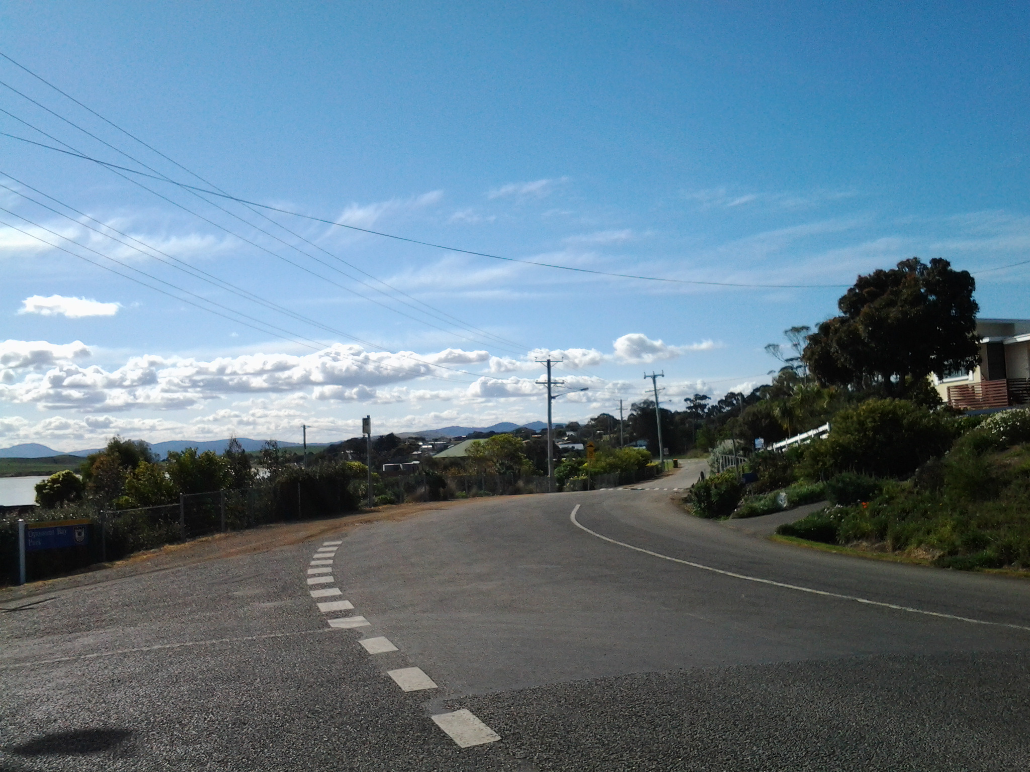
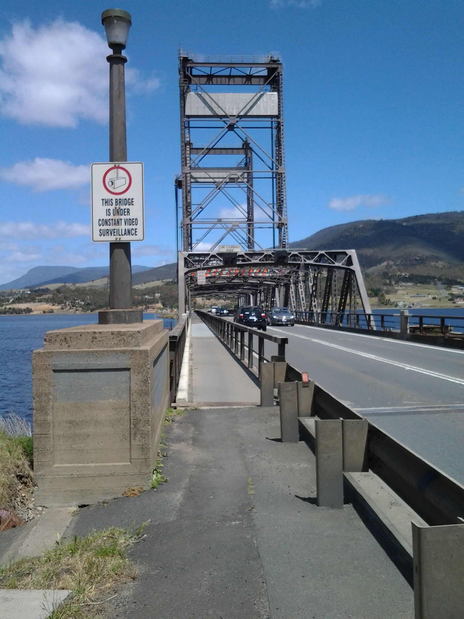
On stage 8 of my walk along the Derwent River, after I had crossed the Bridgewater Bridge from the eastern shore, I continued south into the start of the suburb of Granton. On that route I soon passed the house in the photo below.

20141111_134404

Located at 650 Main Road, what I was seeing was the building that started life as the Black Snake Inn, apparently Australia’s earliest ferry inn, which was built by the convicts who constructed the Bridgewater Causeway. The Google maps street view of this remarkable building can be seen at https://www.google.com.au/maps/place/650+Main+Rd,+Granton+TAS+7030/@-42.751047,147.229129,3a,52.5y,209h,90t/data=!3m4!1e1!3m2!1sTcT1xn5QTiR_rSA4AsFFbg!2e0!4m7!1m4!3m3!1s0xaa6e12713b1bfcbb:0x1a0841b5479abad1!2s650+Main+Rd,+Granton+TAS+7030!3b1!3m1!1s0xaa6e12713b1bfcbb:0x1a0841b5479abad1!6m1!1e1?hl=en

According to http://www.werelate.org/wiki/Person:George_Robinson_%2838%29, Rhode Island born George Robinson erected a new Black Snake Inn on an earlier ferry Inn in 1833 and continued his business at the Black Snake until 1837.  Robinson showed his enterprising ability in a newspaper notice: “MR. G. W. Robinson has this day started a Van with two splendid horses for the immediate accommodation of persons travelling up and down from the Ferries. The Van will leave the Black Snake at half past nine every morning, and leave Hobart Town at 2 o’clock every afternoon…

Charles F Tomkins

Artist Charles F Tomkins (1798-1844) produced a hand coloured lithograph titled The Black Snake Inn and this was published in London by Smith & Elder in 1833 (Reference: http://catalogue.statelibrary.tas.gov.au/item/?id=98999)

According to the http://www.heritage.gov.au/cgi-bin/ahpi/record.pl?RNE10944 record (of March 2015), The Black Snake Inn ‘is significant for its association with Derwent River ferry and road crossings. Until 1836, when the Bridgewater Causeway was completed and before a bridge completed the crossing in 1849, ferry transport was the only means of crossing the Derwent River. It is significant for its initial function as a ferry inn accommodating passengers using the commercial ferry services run by the Inn’s operator. In addition, the Inn is significant for providing accommodation for travellers on the Main Road between Hobart Town and New Norfolk, and those using the Bridgewater Causeway. Between 1819 and 1825 the diary of Reverend “Bobby” Knopwood noted frequent visits to the Black Snake Inn which was often referred to as the “half way” house. Governor Arthur’s Land Commissioners visited the Black Snake Inn in 1826, remarking that its licensee, Presnell, was in the “true Style of a selfish Settler” giving all who passed “all the trouble in his power”. By 1833, the Inn was acquired by George Robinson. By August he had built a “new house’ at Black Snake and advertised the lease for the old inn premises as a possible store. His new Inn was drawn by Louisa Meredith, probably in the mid-1840s and the structure depicted is almost certainly the building known as the Black Snake Inn today, showing the same form. It is possible that a new facade was erected some decades later because the Victorian Rustic Gothic style became more common after the 1840s.’ This website provides extensive additional historical, architectural and social information.

The site http://www.watersideaccommodation.com/downloads/HistoricalSummarytheClaremontAustinsFerryArea04May07.pdf contains an alternative photograph of the building.

I am grateful to Tasmanian collector and historian George Burrows for his reminder to create a posting about the Black Snake Inn.  In addition, he told me… “I am probably one of the few people who have canoed the river from source to Hobart BEFORE the dams were built.”  How remarkable is that!  Very impressive.

The Old Granton Watchhouse

The building, located at the junction of the Brooker Highway, Lyell Highway and the Bridgewater Causeway, was built by convicts in 1838. Extensive information and photographs can be seen at http://ontheconvicttrail.blogspot.com.au/2014/10/old-watch-house-granton.html

The starting point for Stage 14 of my walk along the Derwent River will be near this Watchhouse.

Kunanyi

Mount Wellington was a prominent feature in the lives of the Moomairremener people for thousands of years before white settlement of Van Diemens Land, later to be renamed Tasmania.  The indigenous names include Kunanyi, Unghbanyahletta and Poorawetter. I understand that the Palawa (which seems to be a collective term for all Tasmanian aborigines – perhaps a blog reader might be able to supply further information?) who are the surviving descendants of the original indigenous Tasmanians, tend to prefer the former name – Kunanyi.

A couple of years ago, the Tasmanian government introduced a dual naming approach to a number of geographical features around Tasmania, and these included the mountain which towers over the Greater Hobart Area and the Derwent River. The then Premier Lara Giddings remarked ‘Dual naming is about recognising the Aboriginal community’s rightful status as the first inhabitants of this land and celebrating their living culture, traditions and language’.

20140926_123103

Photo taken from Bellerive Bluff on Stage 4 of my walk along the Derwent River.

20141010_103145

Photo taken between Rose Bay and Lindisfarne on Stage 5 of my walk.

20141031_132509

Photo taken from Old Beach on Stage 7 of my walk.

20141111_104035

Photo taken from Green Point on Stage 8 of my walk.

I am including a posting specifically about ‘the mountain’ as locals refer to it, because it has been a significant marker on my trek from the mouth to the mouth of the Derwent River via the Bridgewater Bridge, and I am about to lose sight of it.  From Granton, as I walk west along the River and then northwards, the mountain will no longer be in view.

Current official information about walking tracks, facilities, weather related precautions and other details associated with the mountain can be read at http://www.wellingtonpark.org.au/  Note that you can download maps from this site.

International traveller may join me for a walk

A few months ago I was excited when a blog follower from upstate New York, told me she was coming to Tasmania and would love to take a walk with me to see some of the sites I have shown in my postings.  With increasing anticipation we have corresponded and now I expect her arrival this week. Sometime around midweek we expect to undertake a comparatively short ‘stroll’ from the southern end of the Glenorchy Arts and Sculpture Park (GASP) over the wonderful striped edged walkways over the edge of the Derwent River.   Do you remember them? For example,

20150109_083005

and

20150109_084404

Then we will head northwards into Berridale and on to MONA (Museum of Old and New Art) with all its fascinations.  Perhaps we won’t be able to get away but if we do, there is always the possibility we might continue on to Cadburys chocolate factory. This doesn’t seem too shabby an itinerary.  What do you think?

Of course we will exercise our right to choose somewhere else to walk if we wish.

If anyone else is visiting and wants to relive a section of the edge of the Derwent River over which I have passed, please email me on walkingthederwent@gmail.com.

Clarence Jazz Festival (mostly bordering the Derwent River) in southern Tasmania

jazz-1-052314-akp

I don’t know when the Clarence Jazz Festival first started, but it was up and running when I returned to Tasmania to live, in 2000. Ever since, it has grown in scale and excitement.

From one Sunday to the next in the third week of each February, performances are scheduled in historic buildings such as the Rosny Barn, next to the water on various bays such as Kangaroo Bay and Lindisfarne Bay (that empty into the Derwent River, and which blog followers may remember from earlier stages of my walk), at beach reserves and on village greens across the local government area of Clarence City Council.

Most are free events and they culminate in the big day next Sunday.  On that day the Bellerive Boardwalk, with its stunning backdrop of sun-drenched water covered in yachts, hosts a grand finale when many different Tasmanian and national jazz musicians perform on an open stage in front of changing throngs of people sitting and moving around the Boardwalk.  Food, wine and coffee stalls surround the venue, and the Clarence City Council offers free sunscreen for those who come unprotected.  At the Jazz at the Boardwalk is where you can expect me to be next Sunday!  Bring on those sexy saxophones!

TheresaKnott-Saxophone

Typically people walk from home often carrying picnics and refreshments to drink.  Families sit outdoors and soak in the atmosphere while kids clamber over public playground equipment when nearby.  Where I live, sometimes the sounds of music float across the air and I am able to enjoy concerts when I cannot get away from home.

The festival Facebook site shows images of past musos and performances and some of the guests for this year (https://www.facebook.com/clarencejazzfestival).

If you are a Hobart local and have forgotten about the Festival go to http://www.ccc.tas.gov.au/page.aspx?u=933&c=386, read the program, and be prepared to see some musicians strut their stuff.

free_3807275 Trumpet in the lights