Tag Archives: Tasman Bridge

40th anniversary of the collapse of the Tasman Bridge over the Derwent River

On the 5th January 1975 late at night, the link between the eastern and western shore of the Derwent River was broken.  It took 2 ½ years to rebuild. In the interim, residents of the eastern shore ferried across to Hobart city for work.  Last night a small gathering of people came together to remember that momentous occasion.  Read more at:

http://www.news.com.au/national/tasmania/tasman-bridge-collapse-remembered/story-fnn32rbc-1227175410862e

These days if a large ship is travelling upstream, traffic lights bring vehicles to a stop before they drive onto the Tasman Bridge. Bridge pedestrians are also alerted to stop and wait until a ship has passed before walking.  However, as I found one day when walking into Hobart city over the Bridge, the alert is not given soon enough for pedestrians and I was already on the Bridge when the cars were stopped. I recall walking to the highest point and looking down and watching the ship pass beneath. Safely.

Then there is remarkable story of the guy whose Monaro teetered over the edge of the broken bridge.  He stills drives the car. You can see pictures and learn more at http://www.news.com.au/national/tasmania/historic-monaro-out-from-under-wraps-for-anniversary-of-tasman-bridge-disaster/story-fnn32rbc-1227174793722

Wild Oats XI took line honours for the 8th time when it crossed the finish line on the Derwent River

I bussed into Hobart seeking a spectacle and I wasn’t disappointed. I looked seaward when the bus crossed the Derwent River on the Tasman Bridge.  Hundreds of boats of all shapes and sizes were out on the water  welcoming the racing yachts into and up the River. Picture postcard imagery.  Perfect.

Once in the city and amidst thousands of people, I wandered down to the wharf. I loved the festive atmosphere and the sense of great achievements.

The tallness of the supermaxi masts always surprises me, and seeing the mast on the glossy Wild Oats XI was no exception. Gasp. So tall I had to move my head to see from the bottom to the top; simple eye movements were not enough.

The yacht was tied up and people, whether on or off the boat, were hugging and shaking hands, their tanned faces full of smiles. The crew had not slept but were exhilarated. Publically broadcast speeches followed. The sun beat down and it seemed the air reverberated with good will.  Today was definitely full of joy for those who have arrived safely in port at Hobart.  ABC Online was the first to transmit a story of the win.  Have a look at http://www.abc.net.au/news/2014-12-28/2014-sydney-to-hobart-yacht-race-winner/5990156 for colourful action photos, and a video.

On through the East Risdon State Reserve along the Derwent River

Mostly I noticed the absence of birds (except for a pair of huge glossy Black Currawongs) in the motionless dry sclerophyll forests – was it the buzz of the electricity from the pylons, was it the relative lack of shelter or was it the heating day which might have sent the birds to the shady valleys? The only sound was the relentlessly growling and metallic-sawing industrial sound piercing the air from Nystar over the River. A constant.

At 11.45am, although I saw a tiny track heading towards the River, I continued uphill on the main trail with a Kookaburra laughing at me somewhere in the distance, and tiny moths flitting around my feet camouflaged to the ochre-brown-grey earth but noticeable for their motion. A tiny black jumping spider looked like a small glossy beetle when it landed and stayed still.

20141015_115218

I pondered whether I should have made my own way along closer to the shore by ‘bush bashing’.  The vegetation was sufficiently open to have made this easy enough, however it would still have slowed me down, and since I didn’t know the end game (the time it would take to get to the bus stop), I chose to stay on the main track.  Even when the path split (at 11.50 am)with a red ribbon hanging on a tree to indicate this was a reliable alternative, I chose to stay on the main right hand path. With hindsight the left path may have given me a shorter route to Risdon – but I don’t know.

At midday the road split again.  This time, as a Black Currawong flew overhead with its wonderful tail edging of white (made me think of the black and white dress Audrey Hepburn wore to Ascot in the movie My Fair Lady), I chose the left hand route.  Small clusters of pink native flowers, with fragile connections to nurturing soil, presented posies left and right. Perfection.

20141015_121749

This track dipped downhill to the left soon after, as I could see large water tanks on the hill to my right.  Almost no undergrowth. Evidence of past bush fires through part of the forest.

In the valley, lots of different wild flowers bloomed offering me a visual gift.

20141015_121456  20141015_121612  20141015_121654

At 12.10 and through the trees, I caught a glimpse of Risdon suburban houses but it was still a long while before I reached the suburb – obviously I missed tracks which could have taken me down more quickly, and instead I took the longer route, Shady. More bird song. Clean fresh smells. A vine entangling other plants with a delicate lilac-blue flower. Scenic it was and I have no regrets.

At 12.23 I took the left of a new split in the road and continued downhill. Lines of cobwebs occasionally floated across my arms and face indicating no-one else had walked here since the spider had swung across the path.

By 12.30 I reached a fenced enclosure for a water storage tank, the East Risdon Reservoir. I chose the road curving downhill on the left amidst a fresh burnt smell from the blackened bush on my right.  At the time I thought it smelt like a cup of tea freshly made – but perhaps that was wishful thinking. Three minutes later I reached a locked bar gate preventing road traffic entry but with an easy walk around. Now I passed houses on my right as I walked the length of Risdon Street down to the Derwent River.

In Risdon at the T junction with Saundersons Road which edges the River, I stood and watched a fisherman in his lunch break, felt overwhelmed by the extent of Nystar opposite, noticed INCAT’s shipyard on Prince of Wales Bay a little further north on the western side, listened to the pervasive roar from industry on the other side of the River, and wondered if I my feet would take me further.

20141015_123942

In the distance southwards I could see the Tasman Bridge.

20141015_124203

Bird song on the track along the Derwent River

A glorious soundscape within a fresh and embracing landscape was my reward for Stage 6 walking along the Derwent River.

As I left the bus and began to walk along the marked gravel pathway nearby, a sulphur crested cockatoo screeched overhead. It was easy to enjoy the sunlit stand of poplar trees then Peppermint gum trees and other vegetation surrounding me.  Geilston Creek, with its paddling ducks, wound its way towards Geilston Bay on my right.

20141015_094500

The further I walked the more bird song I heard and the more native birds showed their colours. First I noticed a pair of pardalotes, then Jenny Wren and her mate the divine Blue Wren both collecting a meal of insects from the path ahead. To my left were sports ovals and tennis courts. 10 minutes after leaving the bus I reached a new walking bridge over the creek near the edge of Geilston Bay, garlanded by large flowering wattle trees at the entrance.

Once over the bridge I turned left onto a road, with a series of dinghy lockers visible on the other side of the creek, then a couple of minutes later the Bay was clear on my left and the last houses before the bush started were located up on the right. The track to Shag Bay started 15 minutes after I left the bus. Despite no breeze I felt the cold air hard on my face. But the air was deliciously clean, the environment pristine after the rain overnight, and the tranquillity of the vistas was sublime.

20141015_095242

The official sign in the photo above, which was located at the beginning of the track, includes a map showing the way to Shag Bay and on to Bedlam Walls. I trekked gently uphill parallel to Geilston Bay on an undulating gravel track and around me all manner of birds sang, whistled, chirped and squawked. An ornithologist would be able to identify those sounds, but mostly I needed to rely on seeing these feathered friends of the bush.  The sounds were inspiringly musical. It was a feast for the ears. I spotted a Black Faced Cuckoo Shrike.

20141015_100446

The photo above show where I had walked from: it looks down the track with Geilston Bay on the right.

Along the way, unofficial tracks led down to the water.  On this walk I had hoped to locate the known aboriginal cave but alas, I was unlucky.  I suspect one of those tracks would have led to it, and so I will return another day for further exploration. Previous research had indicated that our Parks and Wildlife Service government department no longer can afford the upkeep and safety practices that are associated with this cave, and that somewhere there are stairs to descend to the cave and a locked gate to prevent entry. Other bloggers have indicated this gate is easily climbed if you are prepared to take the responsibility to accept all risks. As yet I have no idea if Trespassers Prosecuted signs are in place for that location. A clear photo of the cave is available at: http://tastrails.com/shag-bay-heritage-walk/tastrails_shagbay_bedlamwalls/

At 10.05am I reached a split path and took the left hand route. The occasional gum tree was surrounded by open grassland containing frequent clumps of one of our native plants the Diplarrena Moraea, spiked with their white blooms. Tree roots slithered across the path creating a tripping hazard, so I walked slowly in order to absorb the views. At a second split in the path, again I took the left hand track.  This meandered downhill on slippery gravel under old Casuarina trees to the water’s edge. At 10.10am I stood on the rocky shore at Bedlam Walls Point.

20141015_101225

From the foreshore at Bedlam Walls Point, I looked across the Derwent River northwards to the industrial business ‘Nystar’ which edges part of the western shore of the river; a large zinc and lead smelting and alloying operation.

The photo below is also taken from Bedlam Walls Point and looks southwards. The headland on the left is the Lime Kiln Point marking the other entrance into Geilston Bay. Further afield the Tasman Bridge spans the Derwent River.

20141015_101301

Before I left the Point, I watched a few pieces of river traffic: cormorants diving for their fish dinners, the MONA catamaran, fishing boats, and the sailing yachts.

Generally tranquillity reigned. Then for a while, I walked the rocky edge back into Geilston Bay a little then retraced my steps again to walk around the Point and along the Derwent River edge hoping to find the cave.  Once it was obvious success with this search wasn’t likely, I clambered up the hill. By 10.25am, I was standing on top of a cliff on a little used unofficial track. I continued to walk along northwards and up the gentle hill with the intention of rejoining the official track. Before then, however, I came across an infrequently used 4 wheel drive ‘road’ and followed this instead. The main path was only 20 or so metres further inland. By continuing on the ‘road’ I walked closer to the River and found the experience very pleasant.  There were no other people, and no signs of native animals. Only beautiful bird song.

From the Tasman Bridge to Lindisfarne along the Derwent River last Friday

Immediately after the Bridge, the Clarence Foreshore Trail ceased so I walked on the public road and then turned left onto a new road; Rose Bay’s Esplanade. From the cul de sac at the end of that road (which was parallel to the Derwent River), the Trail recommenced.  By 10.30am, I reached the spot where the Trail continued adjacent to a very long public road, the Esplanade.

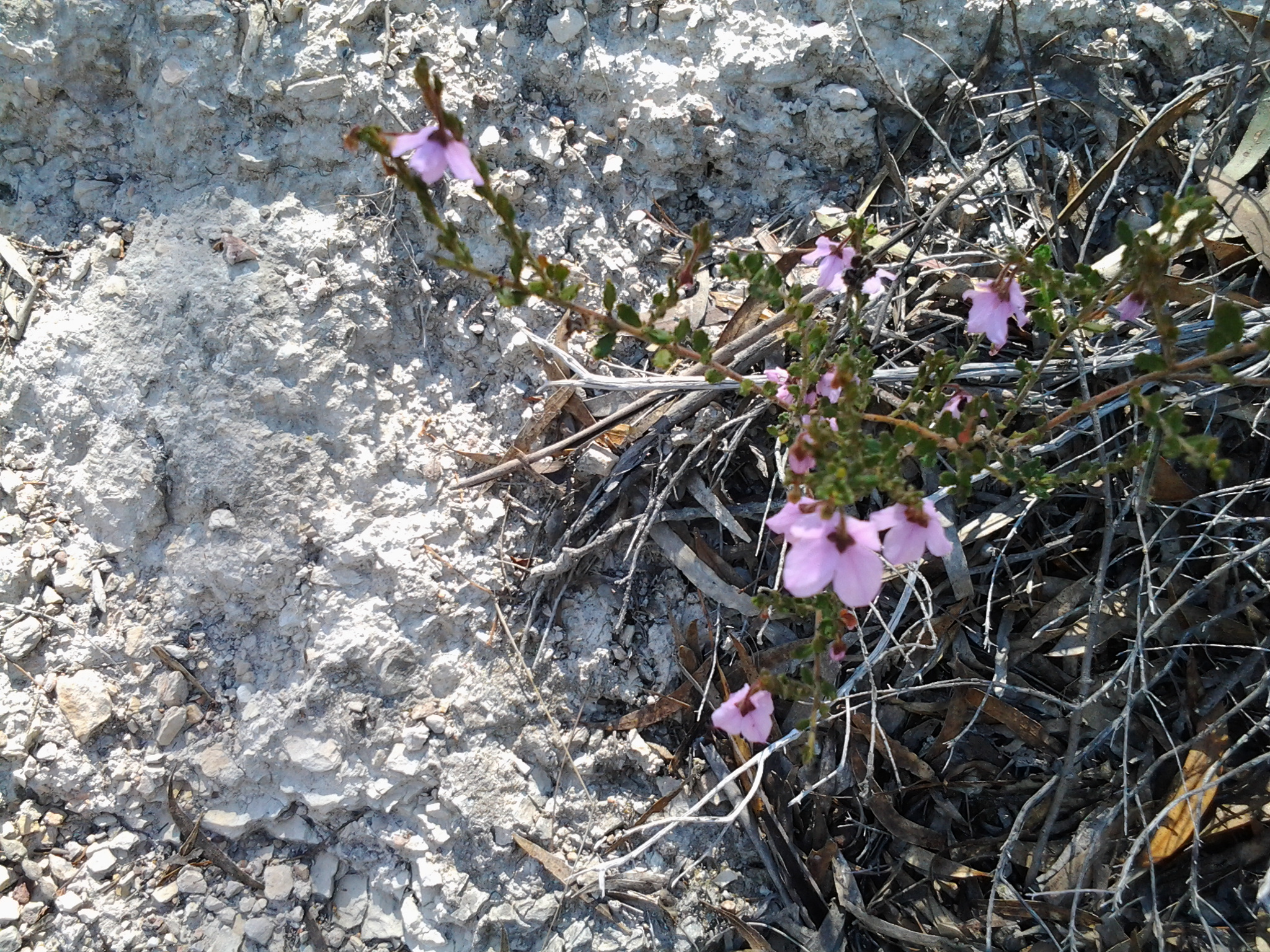
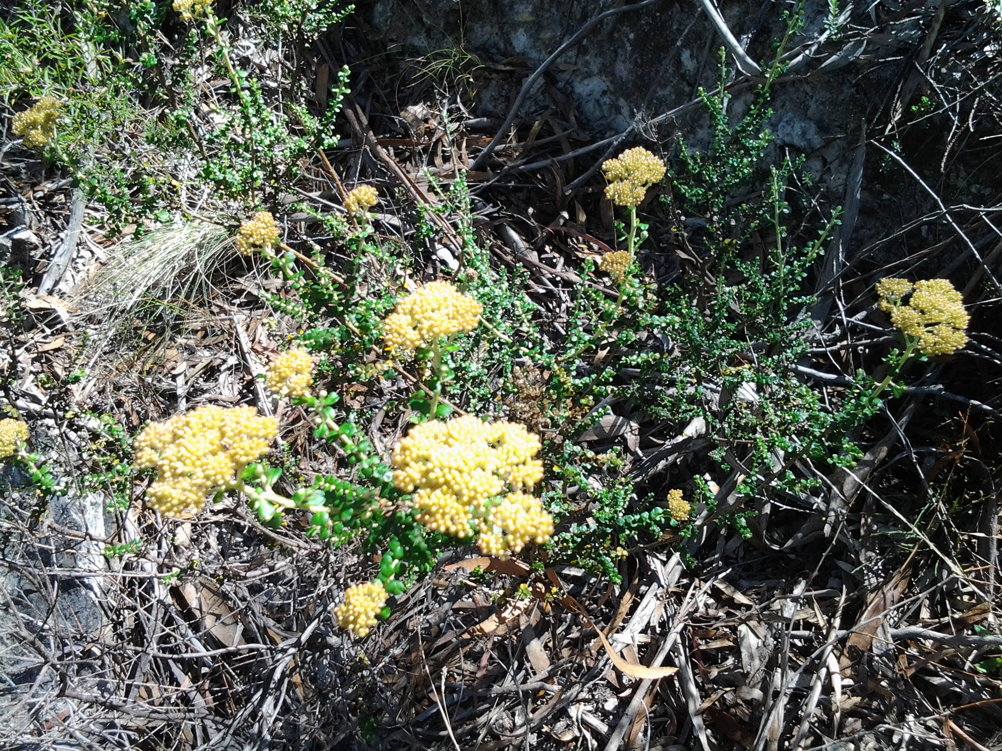
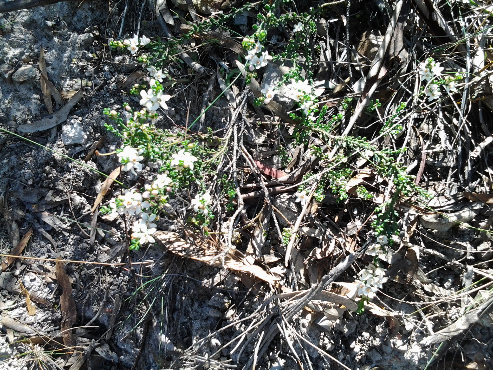
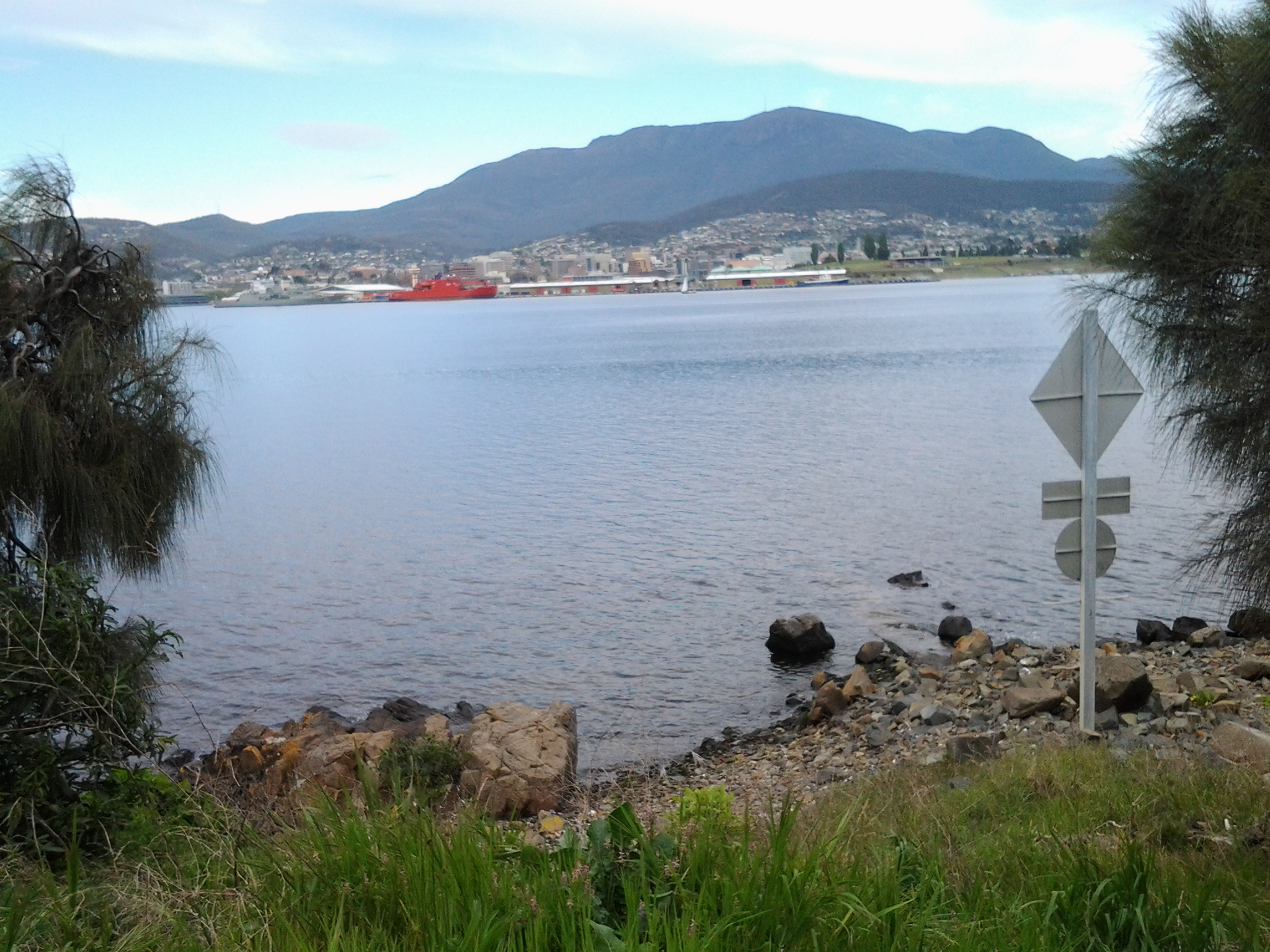
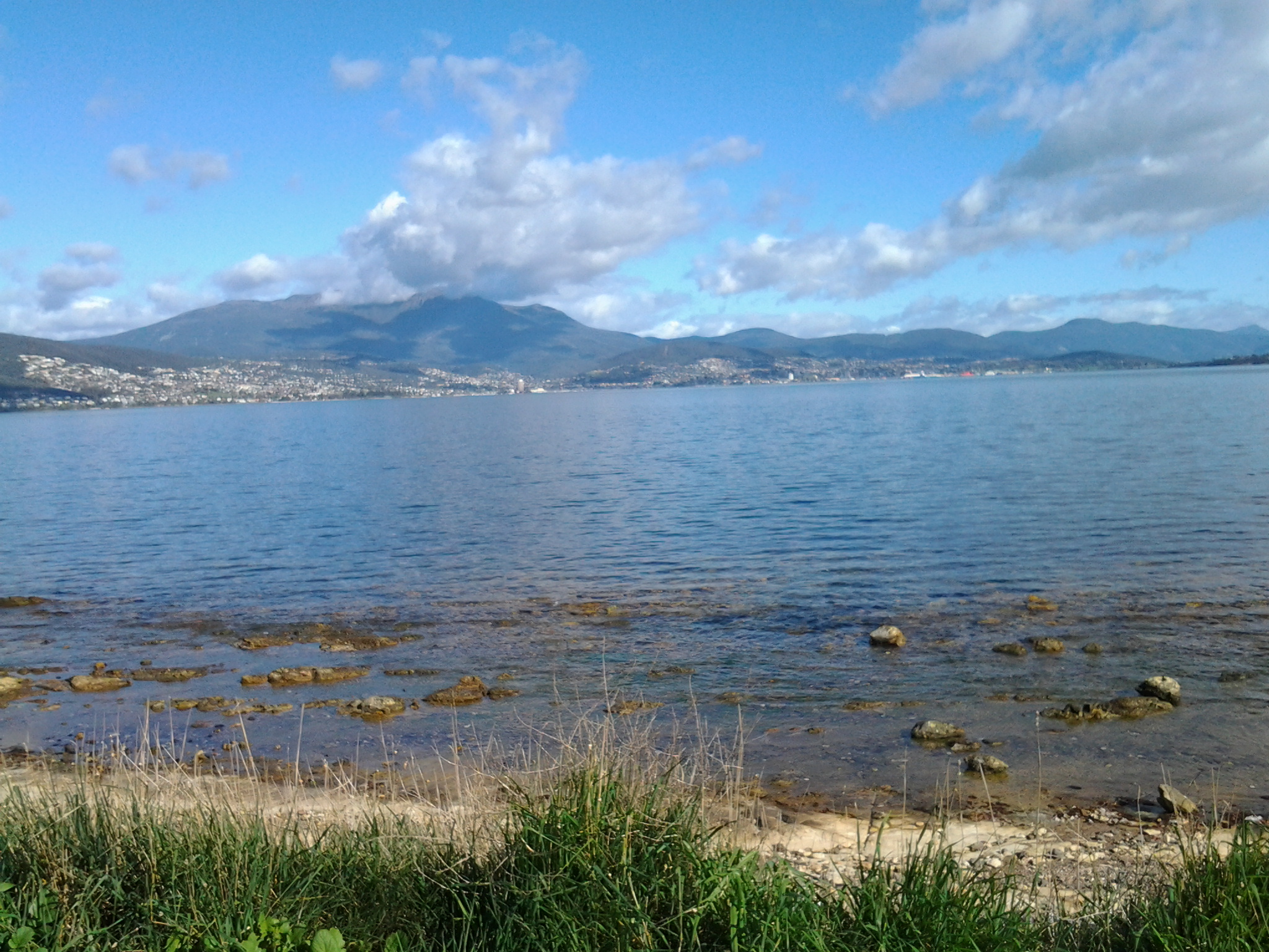
The silvery blues of the Derwent River, Mount Wellington, and the Tasman Bridge provided a rich contrast to the green vegetation and the bright pink-flowered pigface plants that lined the Clarence Foreshore Trail as I continued walking through the Rose Bay area towards Lindisfarne Bay.  Throughout this Stage 5 of the walk I loved seeing the exotic flowers which had escaped from nearby gardens (and no, they didn’t run out of those gardens: the wind or birds moved their seeds) amidst the native plants because they created carpets and pops of sun-filled colour (I realise they are not good for the environment).

20141010_103138

During my walk from the Tasman Bridge, I was surprised to see a willow tree with its roots in the salt water of the Derwent River. Later in the walk I saw a couple of other large old willow trees on the banks of some Bays. Also surprising was the sight of a thick luscious stand of healthy silver beet proudly growing on the edge of the bank above the rocks.
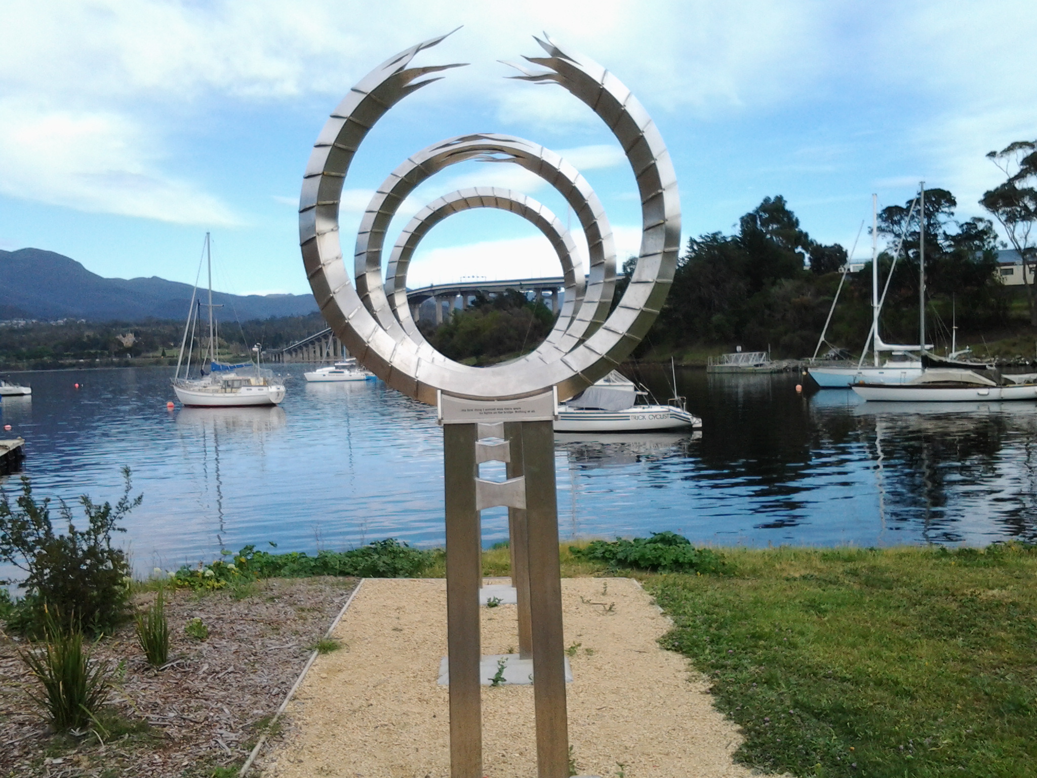
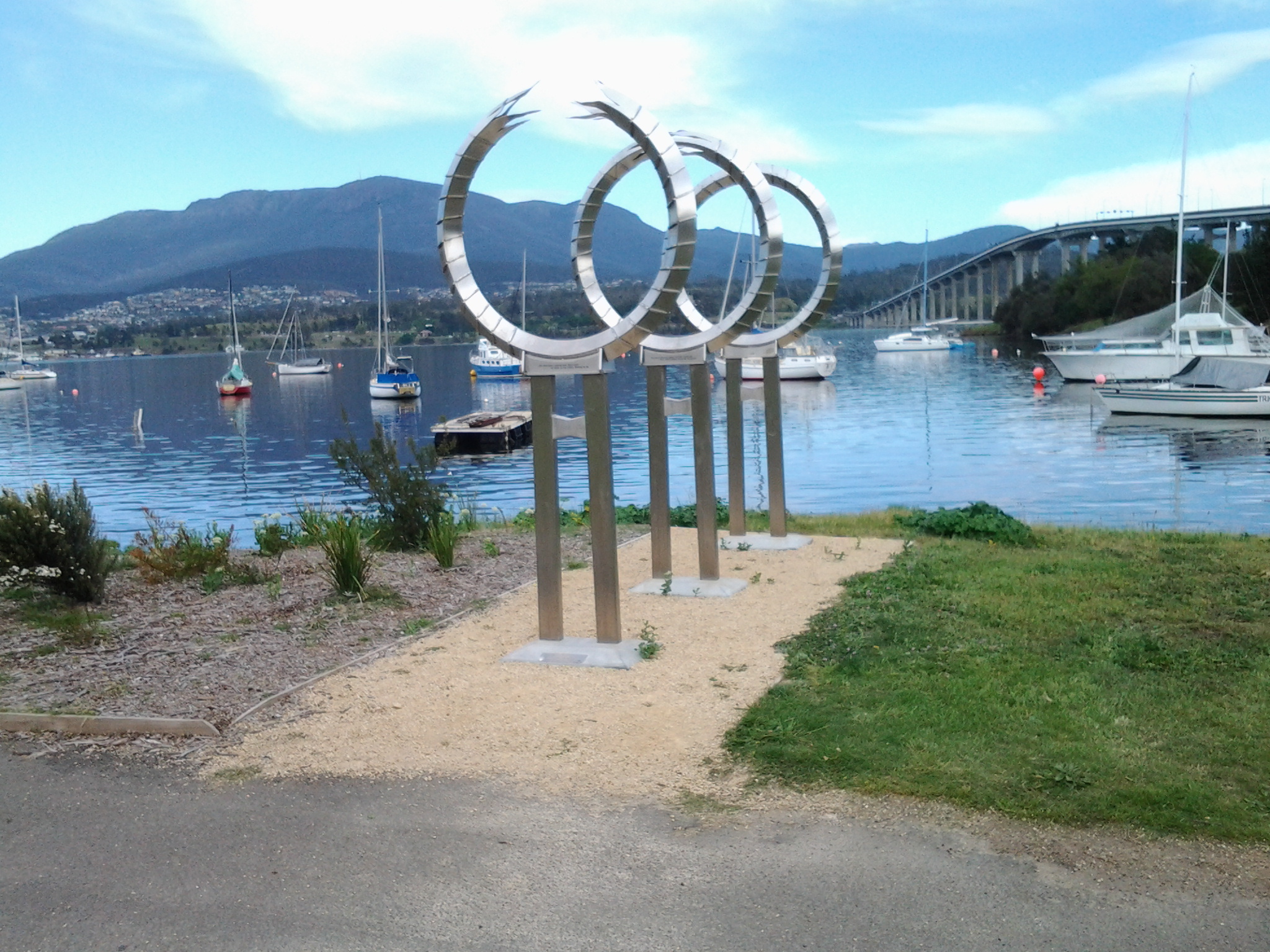
Lindisfarne Bay

20141010_103210

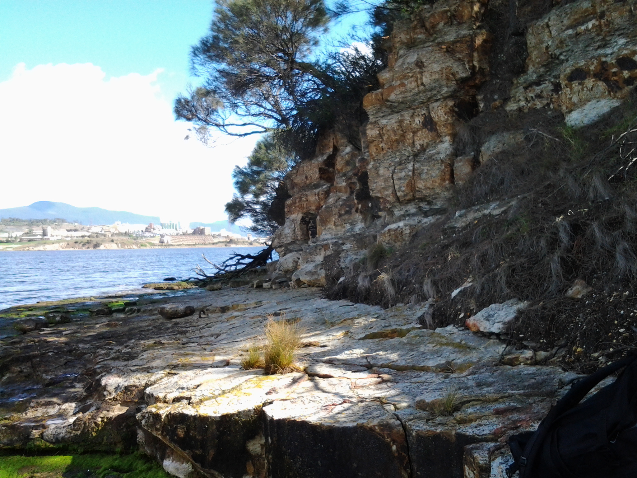
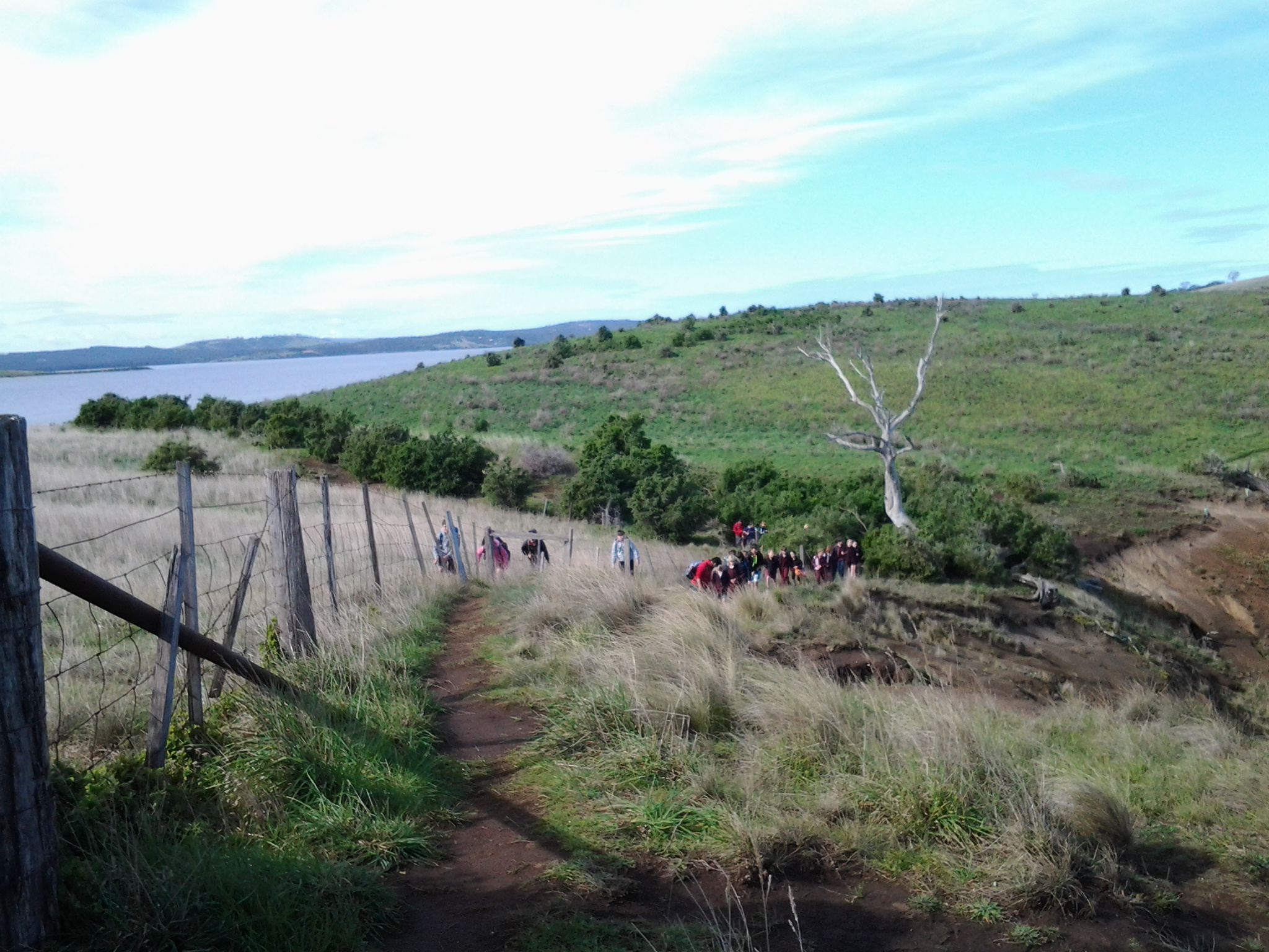
The photo above shows my walk towards Lindisfarne Bay. From 10.50am, my walk left the Derwent River edge and began to take me into and around Lindisfarne Bay. A few minutes later I was passing the Lindisfarne Pump Station on the left of the Trail, and a massive enclosed kid’s playground with lots of holidaying loudly chattering families on the right of the Trail.  A set of adult outdoor gym equipment and public toilets were nearby.

20141010_105800

After 11am I passed the Lindisfarne Rowing Club, walked up to the continuation of the Esplanade road, and turned left for the Trail. I soon smiled at the duck crossing sign below.

20141010_110226

The Trail eventually turned left into Ford Parade where I noticed the Lindisfarne Scout Group Hall on the right with signs indicating the venue was available for hire. Around 11.09 I walked past the Lindisfarne Sailing Club, crossed the road and followed the Trail curving up and around a slight hill passing a wonderful old house named ‘Kentway’.  When this 1900 heritage home was listed for sale three years ago, its asking price was just under a million dollars. The sales spiel referred to the house’s Tasmanian Oak floors, and its ‘Blue Chip’ location. Lindisfarne was settled early in Tasmania’s history and has a wonderful array of houses of all vintages alongside the Derwent River.

Over the road, the Motor Yacht Club/ Returned Soldiers League displayed a sign offering meals available. I stopped by for a toilet break and was surprised how pleasant the place was with great views across Lindisfarne Bay.  I will get some friends together and enjoy their hospitality in the future.

Anzac Park

Continuing on the Trail, I reached a car park with Lindisfarne’s tennis courts on the other side. To the left was a dramatic gateway signed Anzac Park. It wasn’t clear that the Trail was through the gate, but I walked it, and found it was. By 11.25am, I reached a memorial to soldiers from the Lindisfarne area lost in wars since World War II.

20141010_112222

Further on an earlier war memorial remembering the locals who died in the first and second World Wars.

20141010_112509

Between the newer and older edifices, gardens containing memorial plaques for many were laid out carefully.

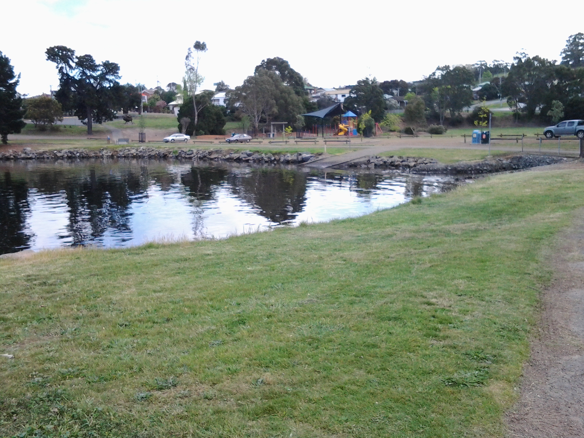
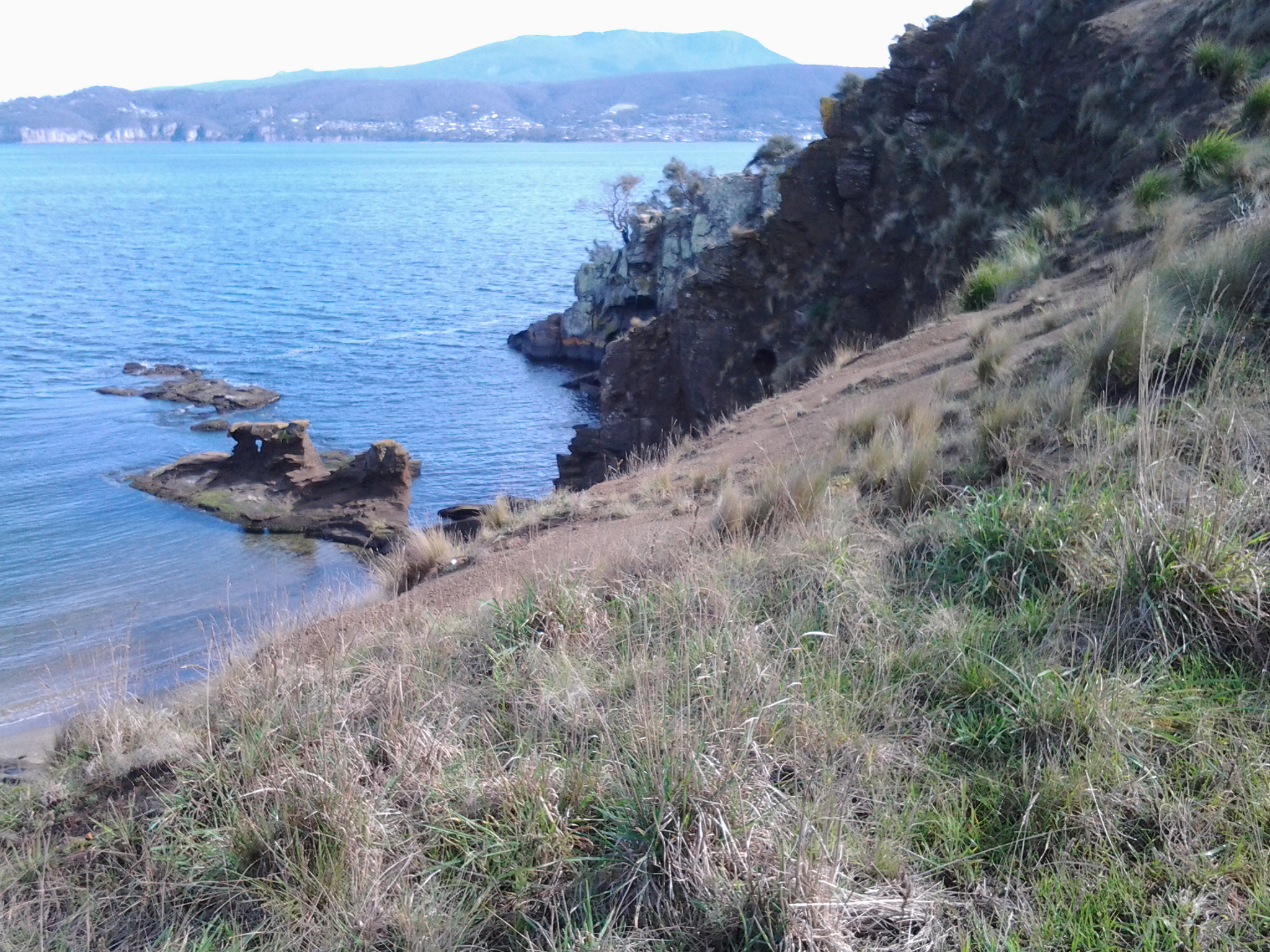
I left this area, Lindisfarne Point, around 11.30am all the while listening to the singing magpies, observing the tables and other seats that were plentiful for picnics, taking note of the Lindisfarne Cricket Ground on the right of the Trail and following the upper bitumen trail. Pathways continued down to the water of the small Beauty Bay with its kid’s playground however I trekked higher up in order to connect with the Trail and walk through the streets of Beltana Point. I turned left when I reached the small roundabout at Talune St.

Most attractive street

Up the road at the entrance to Koluri Court on the left, I spotted a very unusual sign. This street won “Most Attractive Street” in 1985 awarded as part of the Lindisfarne Garden Competition. Despite the fact that I was still walking along Talune St, I could see the lush foliage spilling from gardens.  In particular, the common plant was the Agapanthus, these days declared as a weed in Tasmania because it spreads into native bushland where it competes with native species. All parts of the plant are poisonous.

agapanthus

Photo from http://www.stockfreeimages.com/p1/agapanthus.html

What did I see on the walk along the Derwent River from Rosny to the Tasman Bridge last Friday?

Previous posts have explained the route I walked and the bus services that supported my walk from Rosny Point to Geilston Bay last Friday. This and a further couple of posts will provide colour and texture to those bones.

Once off the bus around 9.20am, I walked through a light open forest of wattle, gum, casuarina and other trees and could see snippets of calm Kangaroo Bay to my left. The photo below looks across the Bay to Bellerive Bluff which was the official finish point of Stage 4 of the walk. The suburb of Tranmere with Droughty Hill above, appears in the misty distance (the location of Stage 3 of my walk).

20141010_093831

The beautiful Bay seemed like murmuring silk. Almost no breeze. The whoosh of cars on distant roads seemed oddly out of time and place.

The Clarence Foreshore Trail passes the inaccessible Rosny Wastewater Treatment Plant on the left.  From the Trail, occasionally rough gravel tracks led down making it possible to reach the water’s edge and I could see Dominican Gulls on the rocks and the occasional Pied Cormorant. Around 15 minutes after leaving the bus I reached the Rosny Point curve where the land left Kangaroo Bay and moved around to edge the Derwent River.  A few minutes later, a Trail sign indicated the Tasman Bridge was 1.7 kilometres further on. I was thankful for the Trail because the narrow rocky shore was strewn with sharp broken oyster shells; later on I watched a family of Pied Oyster Catchers preening and resting – obviously they had eaten their fill.

A few days ago I posted the story that the ‘navy had come to town’. The photo below looks across the River from a place between Rosny Point and Montagu Bay and shows the grey green HMAS Arunta to the left of the orange Aurora Australis Antarctic icebreaker. Oh, and by the way, I discovered the Commander of this naval ship was once responsible for the HMAS Derwent.

20141010_094333

Close to 10am, I reached the Derwent River corner of Montagu Bay.  Harsh sounds filled the air; very vocal wattle birds and the growling of power brakes used by large trucks on the Tasman Bridge. From here, I had the choice to walk 200 metres up to the Rosny Hill Lookout. However, I continued on towards the heart of Montagu Bay past a clutter of upturned dinghies partly hidden in the bushes by the shore. By 10.05am, I was out of the forest and soon passing Langdon’s Welding shop on the left with workers out repairing some boats. By the Trail, I noted a large nectarine tree filled with the start of new fruit and made a mental note to walk this way in December when the fruit should be ripe.

At Montagu Bay I was stopped by an elegant contemporary public sculpture (unknown artist) which I did not know existed.  Well worth a visit. This was the Memorial to those who lost their lives when the Tasman Bridge crashed in 1975. Have a look at the photo below.

20141010_100906

The idea is that you look through these circles to pin point the part of the bridge which collapsed.  An information board provided additional information on this tragedy.

20141010_100832

The view across the Derwent from Montagu Bay was magnificent.

20141010_100852

Public Toilets are located near the Montagu Bay Reserve parkland area. This area is one of many that are child friendly with kids play equipment for free use.

20141010_100923

300 metres along the Clarence Foreshore Trail after passing huge old pine trees, massive gums with fanciful ‘painted’ bark trunks, then the Montagu Bay Primary School on the right, I reached the Tasman Bridge which I walked beneath to continue towards Rose Bay. The time was 10.20am.

Buses for walking the Derwent – Rosny to Geilston Bay and back to Rosny or Hobart

The website for Metro Tasmania is http://www.metrotas.com.au. When you get onto the bus you should ask for a DayRover bus fare so that you can get one ticket to be used on and off buses throughout the day.

Getting to Rosny Point

Only bus number 670 travels from Hobart city to Rosny Point but this only occurs late in the afternoon.  Therefore, from the city centre bus mall in Elizabeth St, Hobart take any bus travelling to the Eastlands Shopping Centre bus mall, Rosny Park. Please be aware not every bus that travels over the Tasman Bridge to the eastern shore of the Derwent River comes through the Eastlands Shopping Centre bus mall, but most of them do.  Consider buses numbered 605, 606, 608, 613, 614, 615, 620, 625, 638, 640, 642, 643, 644, 646, 648, 650, 652, 660, or 662. However, I recommend you always ask the driver for confirmation.

From the Eastlands Shopping Centre you have two choices to reach Rosny Point; bus number 670 (Rosny Park to Hobart City) or 675 (Rosny Park to Rosny Park Loop).

Once in the Rosny Point area, get off either at bus stop 20 or 21. Then take the road that travels down to the water from between these two bus stops. Continue walking along the road and eventually it clearly changes to the Clarence Foreshore Trail. This Trail is sometimes marked with a sign naming it. At other times the un-signposted bitumen or concrete pathway, with a broken white line marked down the length, indicates to walkers and cyclists to keep to the left hand side of the path. The Clarence Foreshore Trail continues along the Derwent River in various styles until Geilston Bay, and includes some road walking without the pathway. Along the way it is possible to stop the walk and access various buses.

Leaving from Montagu Bay if you wish

Both the 670 and 675 travel through the suburb of Montagu Bay so, having rounded the Rosny Point and arrived at Montagu Bay, it is possible to catch a bus either back to the Eastlands Shopping Centre, or to Hobart city.

Leaving from Rose Bay if you wish

Once you have left Montagu Bay and walked under the Tasman Bridge, you are in the area of Rose Bay.  To access a bus you would need to walk along the Clarence Foreshore Trail for some distance (perhaps 20 minutes) then walk up and away from the Derwent River until you reached the East Derwent Highway which runs somewhat parallel to the River. To bus back to Hobart, you should cross this Highway and wait at a bus stop on that higher side.

Leaving from Lindisfarne if you wish

Continuing onto Lindisfarne and its Bay, four buses regularly pass along the East Derwent Highway. In addition, two buses travel down the main street of Lindisfarne’s village (Lincoln St).

Departing from Geilston Bay

At Geilston Bay there are no buses at the wharf. Two choices: to walk up to Derwent Avenue through the suburban streets south of the Bay and find a bus stop along this road or, as I did, walk for 8 minutes to the East Derwent Highway along De Bomford Lane. Cross the road when you reach the Highway. Wait at bus stop 14 located left from De Bomford Lane on the Highway. If you do not cross the road you will end at the outer Greater Hobart Area suburb of Risdon Vale.

The five suburbs to be walked through in Stage 5 of my walk along the Derwent River

From Rosny Point to Geilston Bay, I will walk as close to the edge of the Derwent River as possible.

In so doing I will pass through five suburbs: Rosny, Montagu Bay, Rose Bay, Lindisfarne and Geilston Bay. Most were settled early in the existence of Hobart Town. In 1793, Lieutenant Hayes sailed up the River naming it and many points of interest. It was only a decade later the first settlement was made and in 1804 the final site for Hobart was established on the western shore opposite Bellerive and Rosny. Possibly Geilston Bay was named in the 1810s, Rosny in the 1820s, Montagu Bay in the late 1820s. Lindisfarne was named a century after the first settlement in 1903.

Rosny

The starting point for the 5th Stage of my walk along the eastern shore of the Derwent River will be Rosny Point. The suburb of Rosny, within the City of Clarence, is located on a narrow peninsula which juts out from the eastern shore at Rosny Point and climbs the rising slopes of Rosny Hill to the public Rosny Point Lookout.

According to one of my favourite information sources Wikipedia, Rosny was named by Walter Angus Bethune, the holder of the original grant of land on Rosny Point, after his ancestor the Duc de Maximilien de Bethune Sully of Rosny-sur-Seine  (a town situated slightly north west of Paris in France).  Bethune, a Scottish merchant, first arrived in Van Diemen’s Land in 1820 and was a significant player in the early development of Hobart and sheep farming. His descendants have played important roles in Tasmanian history.

Jean-Baptiste-Camille_Corot_-_Château_de_Rosny

Chateau de Rosny was painted by French artist Jean-Baptiste Camille Corot in 1840

Montagu Bay

This suburb was named after ‘mad’ judge Algernon Montagu, who in the early 19th century lived in Hobart Town before purchasing a property ‘Rosny’ in the Montagu Bay area of the eastern shore of the Derwent River. This small suburb sits on the river edge next to Rosny Point/Rosny and contains the Clarence Aquatic Centre and Montagu Bay Primary School. The Tasman Highway travels over a northern corner section of this suburb, leading to the Tasman Bridge which links the eastern Shore to Hobart and beyond on the western shore.

Rose Bay

The suburb of Rose Bay sits on the river edge next to Montagu Bay.

Rose Bay High School has a permanent camera facing across the Tasman Bridge over the Derwent River towards the centre of Hobart and with the back drop of Mount Wellington. Normally the site operates 24 hours of the day and night. The site is located at http://ozforecast.com.au/cgi-bin/weatherstation.cgi?station=11233&animate=6. Currently the site is being rebuilt, however I recommend you follow the progress and when re-established, save the site as a Favourite. Then you can see what the weather is like over Hobart and how gorgeous it can be to look at regardless of the weather in daylight and with the city lights sparkling at night.

Lindisfarne

While the exact origins of naming our Lindisfarne suburb remain unclear, the main thought is that from 1892 the suburb was known as Beltana. Then it was renamed Lindisfarne in 1903 after Lindisfarne a tidal Island (Holy Island) in Northumberland, a region in the far north east of England. The easternmost part of the middle of the suburb, where the Beltana Bowls Club and the Beltana Hotel are located, is still locally known as Beltana.

It has been suggested this suburb took its name from Lindisferne House, a property built in the 1820s near the suburb of Rosny. From the Clarence City Council website at http://www.ccc.tas.gov.au/page.aspx?u=1601 “Lindisfarne is thought to have been named by Hezekiah Harrison, a free settler, who was granted land in the area in 1823. Harrison had lived just a few miles from Lindisfarne Island, on the Northumbrian coast. Known as the ‘Holy Island’, Lindisfarne was the base from which St Aidan worked to spread the Christian faith through the north of England in the eighth century AD. However, it is unclear whether the area was named by Harrison or the next owner, Thomas George Gregson, a prominent free settler who purchased much of the land between Risdon and Rosny. Gregson grew up in Lowlynn, very close to Lindisfarne Island in England.”

Geilston Bay

Apparently the inlet of Geilston Bay was named after Colonel Andrew Geils who was appointed Commander of the settlement of Hobart in 1812. Colonel Geils lived on a property in Geilston Bay which he called ‘Geilston Park’.

Taking Bus 615 to Tranmere last Friday – Starting Stage 4 of walk along Derwent River

Having travelled across the Tasman Bridge, through the Eastlands bus mall near the shopping centre, and onwards, the bus takes the main route along Clarence Street. Along the way a sign marking the Clarence High School, established in 1959, looms large on the right. The 8.23am bus typically will carry a swarm of students who will jump off at this point and then the bus may quieten for the remainder of the trip.  But others will jump on after desperate running and laugh as they fall onto the bus with eyes sparkling from the exertion. Bus trips can be alive with life being expressed in all sorts of ways.

By 8.44am the bus pulled in at the Shoreline Shopping Centre mini bus mall.  Once moving again, the bus run goes the other way to a stream of traffic heading towards the city centre. Moving down the hill, and near bus stop 19, the bus passes the Howrah Primary School located across the intersection diagonally from the Shoreline shopping centre, and a Shell fuel service station which is located on the opposite corner. Further down, the bus passes The Sunshine Tennis Club and the Howrah Recreation Centre including the Guide Hall. Near bus stop 20, a Caltex fuel service station and a suite of small shops is located on the right with the Howrah Beach beyond.  It’s not long before, as a passenger, I am greeted by stupendous views of the Derwent Harbour, Hobart city on the western shore, and the all-powerful Mount Wellington peering over all.  Soon after the bus turns left into Tranmere Road, I noticed Tranmere Hall on the right, and then a little later near bus stop 23, I saw a sign designating the Tranmere Coastal Reserve and a nearby public walk way down to the Derwent River.

After passing Anulka Park at bus stop 25, I continued on and left the bus at stop 31 at 8.53am.

Yet again I was fortunate that the day was magical. As I crossed the road to stand next to the serene Derwent River, I listened to the lyrical lapping of soft tiny waves across the rocks.  Silver gulls were floating languidly. A lone Pied Oyster Catcher was watching and waiting. Fluffs of cumulus cloud like fairy floss hung suspended in front of the mountain.  Cabbage butterflies flew through the long grass. Orange flowering nasturtiums climbed through bushes edging the shore.

I soaked in the grandeur of the environment and prepared to start the walk – this fourth stage of my walk along the Derwent River.

20140926_085649

United effort for a clean River Derwent

This morning’s local newspaper The Mercury published a story about cleaning up the Derwent River. Please check out the site, at least to see a grand picture of the Derwent with the eastern shore in the distance, the Tasman Bridge and swimming black swans in the foreground. Go to: http://www.news.com.au/national/tasmania/united-effort-for-a-clean-river-derwent/story-fnn32rbc-1227069149722

You will read that the Derwent Estuary Program, established in 2001, is an attempt to reduce heavy metal contamination, encourage better urban planning to reduce river pollution and conserve animal habitats. There are some significant industrial sites such as Nyrstar zinc works and the Norske Skog paper mill located on the edge of the River, all of which I will walk past at some stage as I walk the River’s length.

Vistas of water

I am fortunate to live in a part of Hobart with daily views of the Derwent River.  Travelling to and from work in the city, I bus over one of the river’s main bridges the Tasman Bridge. In these ways, I see the wonderful watery play of the moods, colours and water traffic across the Derwent River.

Since many people from around the world now read this blog I am reminded of the watery views near some of those readers. Most recently, the blog statistics indicated I have some Greek readers.

A few months ago I visited Greece, and while I am probably one of few travellers who did not ferry around the islands, from the mainland I did look out at the glorious expanses of the Aegean Sea and marvel at the islands in the distance. The joys of discovery were not limited to searching in the distance. Sometimes, as I found, you can enjoy the sea even more because of structures on the land – you can see through them and they create frames for seeing other landscapes. South-east of Athens is a ruined temple, the Temple of  Poseidon. Almost picture postcard imagery. I had to keep pinching myself.  I was there.  I smelled the freshness of the wind.  I tasted the salt on the air. I felt the sparkle of the sun in my eyes. I heard the passing of seabirds. And I touched the remnants of the workmanship of creativity from over 2000 years ago. And there below and spread out into the distance was the deep blue of the water capped by the blue of the sky.  The gods certainly found one part of paradise.
20140602_121813

The photo shows the ruins of the Temple of Poseidon at Cape Sounio/Sounion located south east of Athens, Greece.  I hope you can you feel the sun in the air.

Stage 2 on 4/9/2014 Onwards to Gellibrand Point Email 10 of 14

My journey continued up a hill where I recognised two track options; one inside a fence line, and another outside the fence at the top of the cliffs on the side of the Derwent River. I took the track outside the fence (I watched the following children and they were evenly divided between the inner and outer tracks- obviously their teachers thought the outer track to be safe), and at the top of the hill there was an opening to step through the fence and return to a 4 wheel drive track.

20140904_105455

The air was clear. The day was warming up. The views in every direction were sensational. One of those experiences that makes me so happy to be alive.

20140904_105300

The photo above looks across part of the northern end of that part of the Mary Ann Bay, and via the Derwent River, looks towards Hobart city suburbs and Mount Wellington.

Not far away I walked past a pile of broken old convict bricks.

20140904_105102

Gellibrand Point at the northern most point of the South Arm peninsula was the destination for Stage 2 of the walk.

I found the shape of this headland was blunt and rectangular so that there was no hint of a ‘point’. So it was a little difficult to say I had reached the exact spot representing the end of the second stage of my walk along the Derwent River edge. Across the watery opening into the large Ralph’s Bay I could see the goal for Stage 3 of the walk: Trywork Point. This headland is situated south of the suburb of Tranmere, and north of the South Arm peninsula.

20140904_110320

In the photo above, you are looking at Trywork Point across the water.

The photo below was taken from my lunchtime vantage point looking across Ralph’s Bay towards the mound in the distance over the water on the left hand side; this is Trywork Point.

20140904_121302

The Tasman Bridge, which provides the main city crossing between the eastern and western shores of Hobart, shimmered in the distance. Mt Wellington with spots in crevices of hard white ice left over from two or three weeks ago of heavy snow, was majestic.

I wandered along the headland until, between the track and a smattering of Casuarina trees near the water line, I spotted some sandstone boulders that looked perfect as resting spots; the first I had seen. By 11.15 I had rested, eaten a snack for morning tea, and set off again up to and onto the track that extends back to Opossum Bay via the eastern side of the peninsula.

Shades of grey – how many?

Travelling to and from work, I routinely cross the Tasman Bridge, one of a number of bridges which span Hobart’s Derwent River. This morning, on the first day of Spring in the southern hemisphere, the air was clean and bright and eventually the temperature rose to a mild 18 degrees. In that peak rush hour on the roads, the Derwent featured a police boat speeding up the river, but otherwise all was quiet on that glittering watery surface. However, this afternoon the clouds moved over Mt Wellington and the world of the Derwent took on different colours.

 Yes it was raining as my city bus left the city for the eastern shore after work, however nothing unpleasant can be said about the glorious effect the lightly falling rain had on the landscape and the river.  The vista was outstandingly beautiful.

 As the rain melted onto the river, it patched the surface with the softest pale colours of grey-green jade. Delicate. So refined. The South Arm peninsula at the mouth of the river, blurred grey with a loose mesh of fine rain, barely remained visible as my bus crossed the Bridge. The sky was coloured with a combination of a softening yellowish charcoal grey and a light blowsy light beige grey. Collectively, the multi shades of grey were colourful. They embraced the river and the lands beyond.  Simply stunning. And I am lucky enough to live here!