Yesterday one of my posts introduced Addington Lodge as a Haunted House and since then a few readers have wanted to know more.

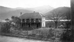
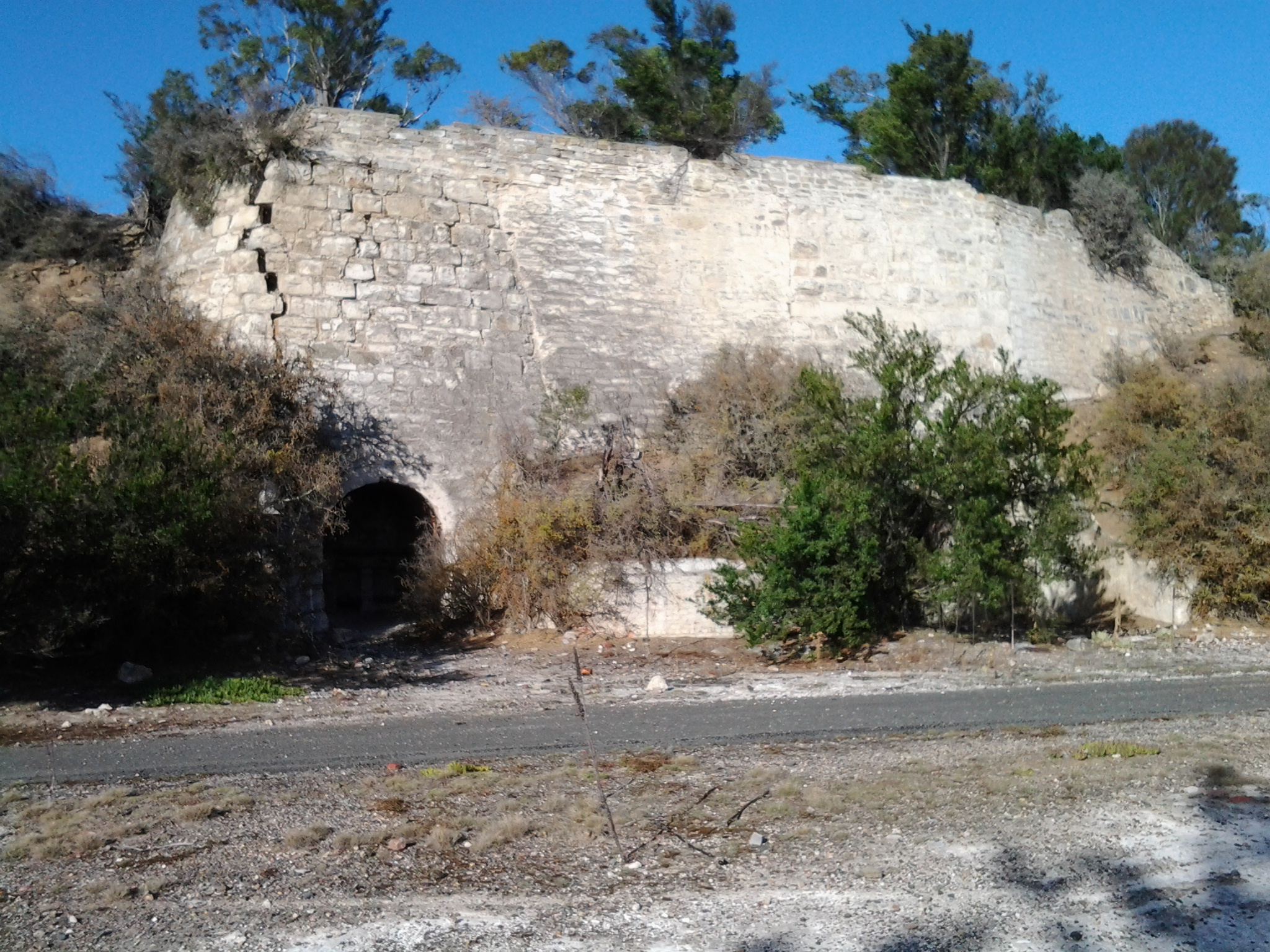
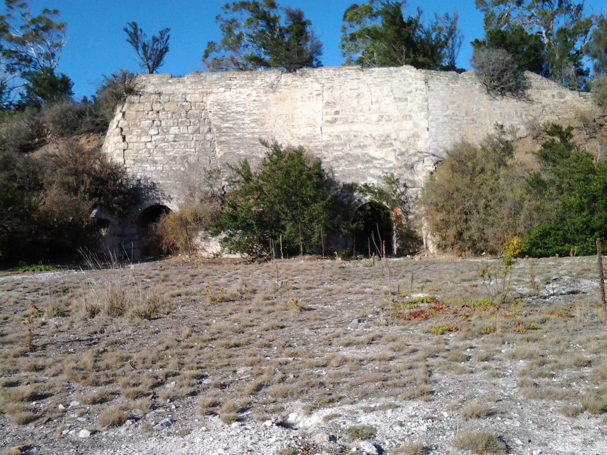
The photograph above is of Addington Lodge, Granton, apparently a former residence of Governor Arthur – from the collection of Linc Tasmania
In Hobart’s The Mercury newspaper of Saturday 6 July 1935 (http://trove.nla.gov.au/ndp/del/article/30094484?searchTerm=Anthony+Geiss), J Moore-Robinson wrote his version of the history of the House and area (then not known as Murphys Flat rather as Marsh Farm). A few descriptions and some extraordinary stories of what happened to a hop picker and others, create a feeling of how the crumbling remains of Addington seemed at that time.
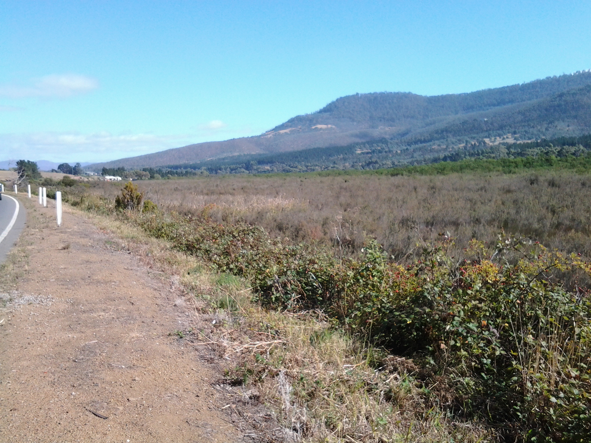
The author talked about people “who visit southern Tasmania who have not seen the Haunted House but have been intrigued by its shady reputation and shadowy tradition. Empty and forlorn it stands to-day near the road-side on the way to New Norfolk, a gaunt spectre of a vague past, a meet and fitting rendezvous for apparitions which, if the poets speak truly, steal at the witching hour of midnight, from yawning graves and uneasy vaults, to curdle the blood of humans. Motorists roll by unthinking at all hours of the day and night, but pedestrians, I am told, walk warily, or walk not at all past the place.”
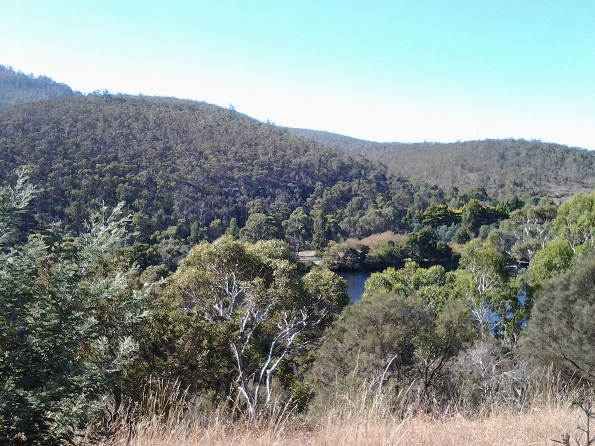
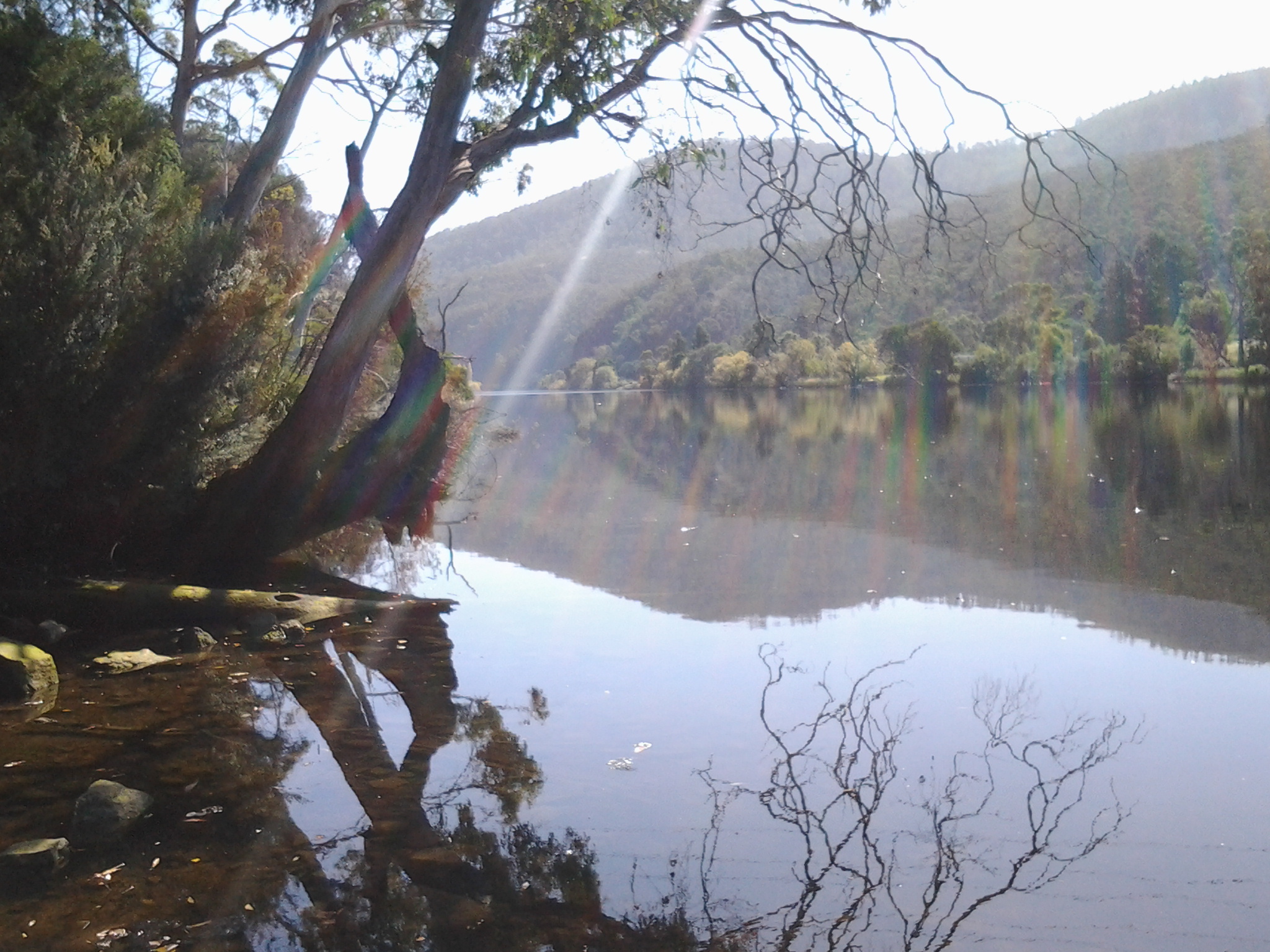
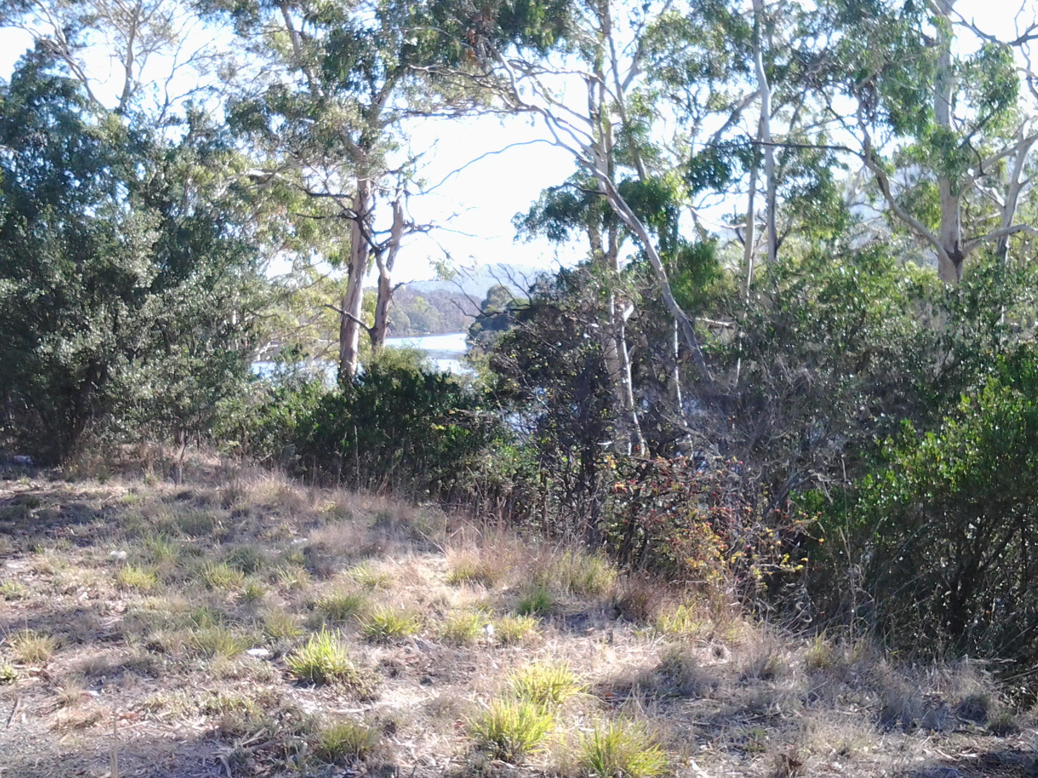
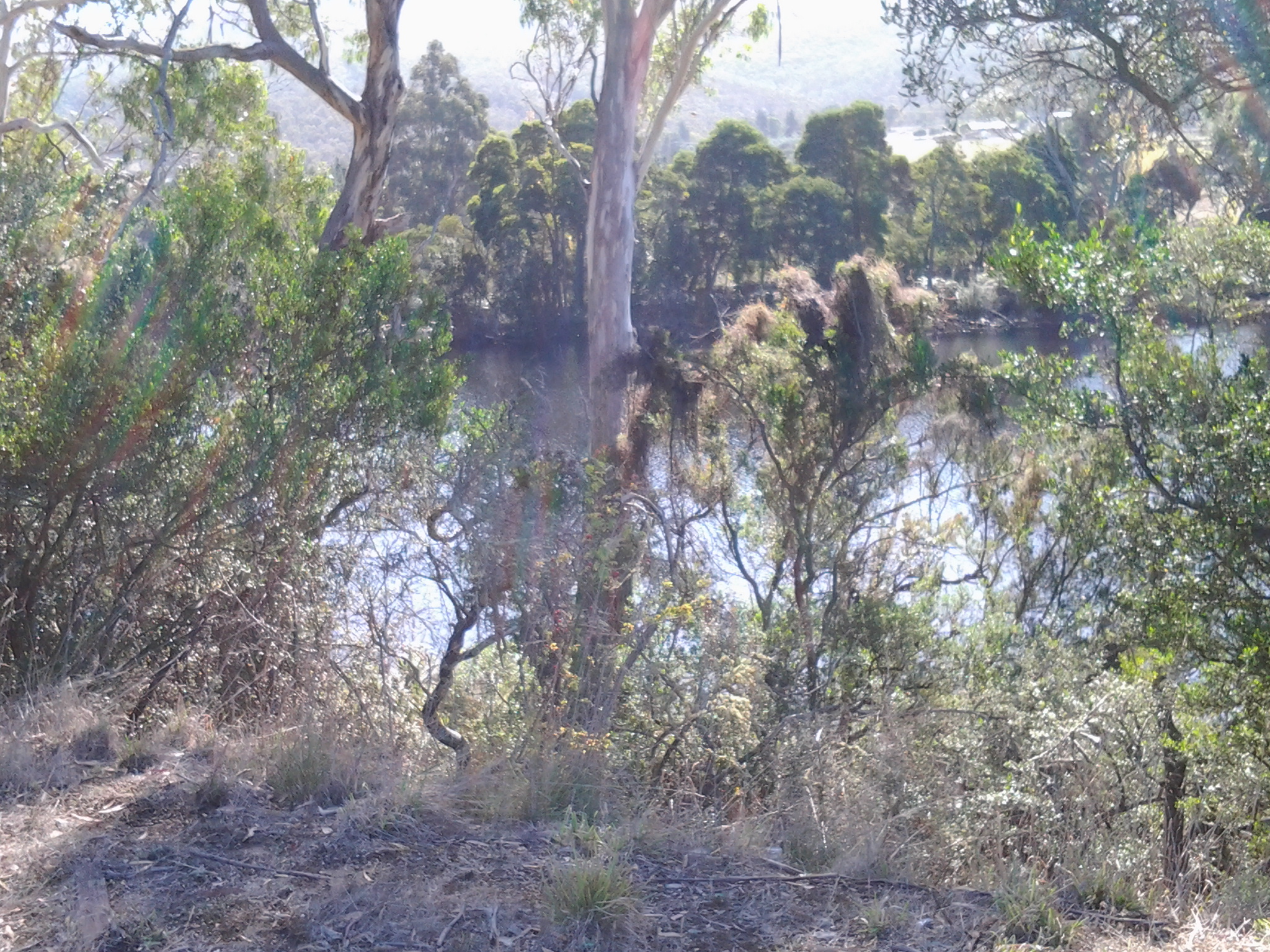
Did I walk warily? Well yes I did. But my caution was the result of the stream of traffic pouring down the highway a couple of feet next to me. Sometimes, in some situations, my body can feel ’something’ about a location, but with the incessant roar of vehicles close to my left ear, the brittle wind in my face, and the chilly temperatures I was charging on northwards and gave no thought to ghosts of the past. Perhaps the bright hard sunlight kept them at bay.
The newspaper article continued: “The existing owner, Mr. F. B. Rathbone of Mt. Nassau, tells me that the place has been rather a bane and an expense to him, and he will not be sorry when nothing remains but a heap of rubble foundations. I asked him why. ‘I have lived in the place myself for weeks at a time,’ he said. ‘My son lived in it for more than a year. Neither of us saw anything uncanny, yet nobody will take it. It has a bad name, and I think it better to let it fall to ruins’. It appears that long before the war, folk were apprehensive and the Haunted House, lacking regular tenants, frequently was empty. Mr. Rathbone said that there are no spectres, never were any and that the noises and apparitions came from a loose board in the roof and from rats, rolling-apples and potatoes in a cupboard.”
But is this true? The newspaper article continued and included a number of stories which might explain the haunting reputation, and which might even be factual.
The hop-picker story
“Shortly before the embers of discontent of South Africa burst into the flames of war, a hop-picker having drawn his cash at Bushy Park was ’Waltzing Matilda’ to Hobart. He was weary with tramping the hot and dusty road but, doubtless he looked forward, with unfeigned pleasure to the flesh pots and foaming tankards, of the city. As the sun set, he came, unaware of its story, to the Haunted House. Shadows deepened on the nearby river as the hop picker, pushed open an unfastened door, entered the fateful house, ate his cold mutton and bread, washed it down with part of a billy-can of beer purchased at New Norfolk, spread his blanket on the floor, and slept the sleep of the weary. Presently he stirred and rubbed his eyes and, as he looked, the very marrow froze in his bones. His hair stood on end and his heart seemed to stay its pulsing, for rising before him in the doorway he saw a ghastly thing. ‘Thing’ is the right word, for the hop-picker had not seen or dreamed of anything like it. Thin legs, curved, and bent, supported an enormous body which, though it seemed to be clothed, was still visible to the trembling mortal who saw the apparition’s internal organs hideously pulsing and distended. Its neck, gashed from ear to ear, was unable to support the head which sagged horribly from one side to the other. Blood dropped from the severed jugular and the baleful gleams from the staring eyes pierced the semi-darkness and seemed to impale the terrified watcher. A butcher’s knife was clasped tightly in the spectre’s right hand, and hand and knife were horribly red.
In a crouching pose, the creature swayed toward the ‘hopper’, whose limbs seemed fettered by unseen manacles, from which he writhed and struggled to free himself as the menacing and blood stained figure approached. A foul smelling breath stung his nostrils and the knife was within striking distance of his heart, when, with a wrench that would have done credit to Samson, the ‘hopper’ broke free, dodged the ghost, darted through the doorway and, looking neither right nor left, sped down the road, a white and terror-stricken figure clad only in a shirt. Feeling rather than seeing the ‘thing’ close behind him, he essayed a short cut over a bank, slipped on a stone, gashed his head on a sharp rock, and lapsed into blessed insensibility. When he came to, he found himself prone on the cold floor of the room in which he supped. His blanket lay in a disordered heap. His fingers bled where he had scratched and torn at the floorboards. A lump on the side of his head betokened a meeting with some foreign body. Looking around cautiously the ‘hopper’ could see nothing of his ghastly visitor but, thinking discretion the better part of valour, gathered his belongings, moved tremulously through the door to spend the remaining hours of darkness in vigil by the roadside.”
The hopper’s ghost
“It is said that the hopper’s ghost is the spiritual remnant of a whaler, who, wandering further afield than usual, met at the Golden Fleece (for that was the sign of the haunted house 100 years ago) a bushranger disguised as an honest man. The pair spent some happy hours until the Tasmanian Robin Hood, seeing his chance expertly slit the throat of his ‘friend’ and disappeared with his wallet.”
Lady with the broken heart
Another story has to do with a young and beautiful woman who, betrayed by the usual dashing cavalier, languished in spite of the kindly protection of the landlady until, with a broken heart and saying a prayer for bitter revenge, she stabbed herself, and so went away to brighter, and, I hope, happier fields.
The landlord and his landlady
“Still another tale is told about the landlord and the landlady, when the place was the William the Fourth hostelry. This couple, having decided to essay life together without bothering the clergy lived happily for a while, but only for a while. Quarrel followed quarrel, and in these the woman usually came out on top for she was bigger, quicker and stronger, although the landlord had been a soldier and had seen wars, having been with that army which ‘swore terribly in Flanders’, he became tired of being the vanquished, and one day finding his ‘wife’ asleep, stabbed her. Not content with that, he drove a spike into her head, cut out her tongue, slit her throat and not being quite sure at this stage that she was really dead, and poured some poison down her throat. He then tenderly buried her and was caught and duly hanged which seems to be the only really proper and moral part of the story.”
The Golden Fleece’s reputation as an Inn
“It was during Fitzgerald’s term as licensee that, according to legend and tradition, the place achieved its notoriety, which, considering the grounds on which he was later pilloried is not surprising. It is certain that the ‘Golden Fleece’ had an evil reputation, and that the name was truly descriptive of the ‘fleecing’ accomplished within its walls, and the ‘golden’ results which accrued to the enterprising landlord.”
Kelvin Markham (http://www.km.com.au/tasmania/ch14.htm) has a different view on why the House was haunted.
“During the twenty one mile journey to New Norfolk, I had the company of a ghost – one Denis McCarty. To you who follow me along this road, the first made in Tasmania, I present this Irish ghost, ex-convict, constable, farmer and grazier, road-maker, Deputy Provost Marshal and much more. My assertion is that Denis, after all his troubles in constructing the road, drinking his share of the 500 gallons of rum that were to be part payment, and then dying whilst his claims for final settlement were being considered by Governor Sorell and Macquarie, perambulates this unpaid-for road, and, when he finds it necessary to take shelter, rests in the old Golden Fleece. If you dive into the history of this road, you will learn a number of things. For example You will stand at his deathbed, seeing it only as through a glass darkly, and wonder what Jemott and Broadribb had to do with it – if anything. Contemporary records refer mysteriously to these persons as knowing more than they should of McCarty’s end.”
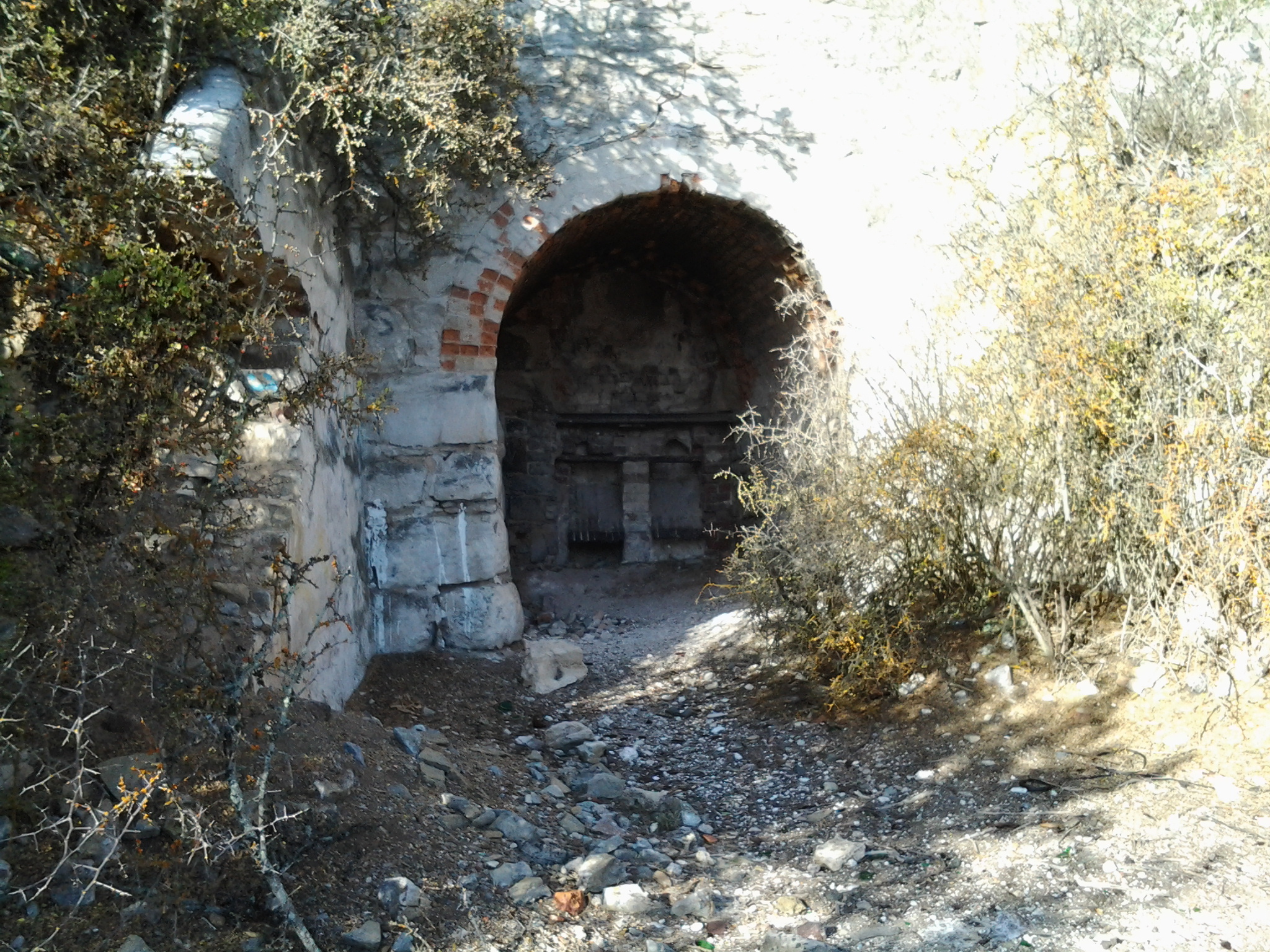
These background stories and reasons for Addington House or Lodge/Golden Fleece Inn/William the Fourth hostelry to be haunted make for wonderful fiction-writing and movie-making opportunities. Anyone interested?

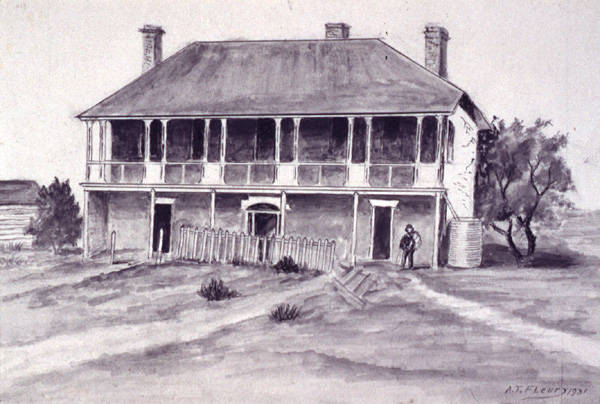
The image above is a drawing of ‘Addington Lodge Colonel Arthur’s Marsh Farm between Bridgewater and Sorell Creek Derwent Valley’/’The Haunted House on the Granton New-Norfolk Road’ by artist A. T. Fleury c1931 – from the collection of Linc Tasmania