Author Archives: Tasmanian traveller

Unknown's avatar

About Tasmanian traveller

Through travel, I have experienced the eccentricities of people and their environments around the world. At the same time, I love where I live. So, for people who cannot travel to discover the wonders of my home town, this blog is an attempt to introduce its exoticness. My goal was to walk along both sides of Hobart's Derwent River from the mouth to New Norfolk, and to walk on one or alternating sides of the River between New Norfolk and the source of the River at the southern end of Lake St Clair. The walk was undertaken in stages around my other commitments of my life. Almost all stages of the walk connected with Tasmanian public transport - my intentions was to inspire people, who do not have access to a vehicle, to feel they can replicate the walks. This blog reports on each stage in the hope it will encourage people to either follow in my steps or to create their own walking project where-ever they live. Please note: The blog background and headliner image of 'Hobart from Mt Wellington' is the work of Tourism Tasmania and Garry Moore. It is a free image with unrestricted copyright and available from http://www.tassietrade.com.au/visual_library

The pleasures of people along the Derwent River

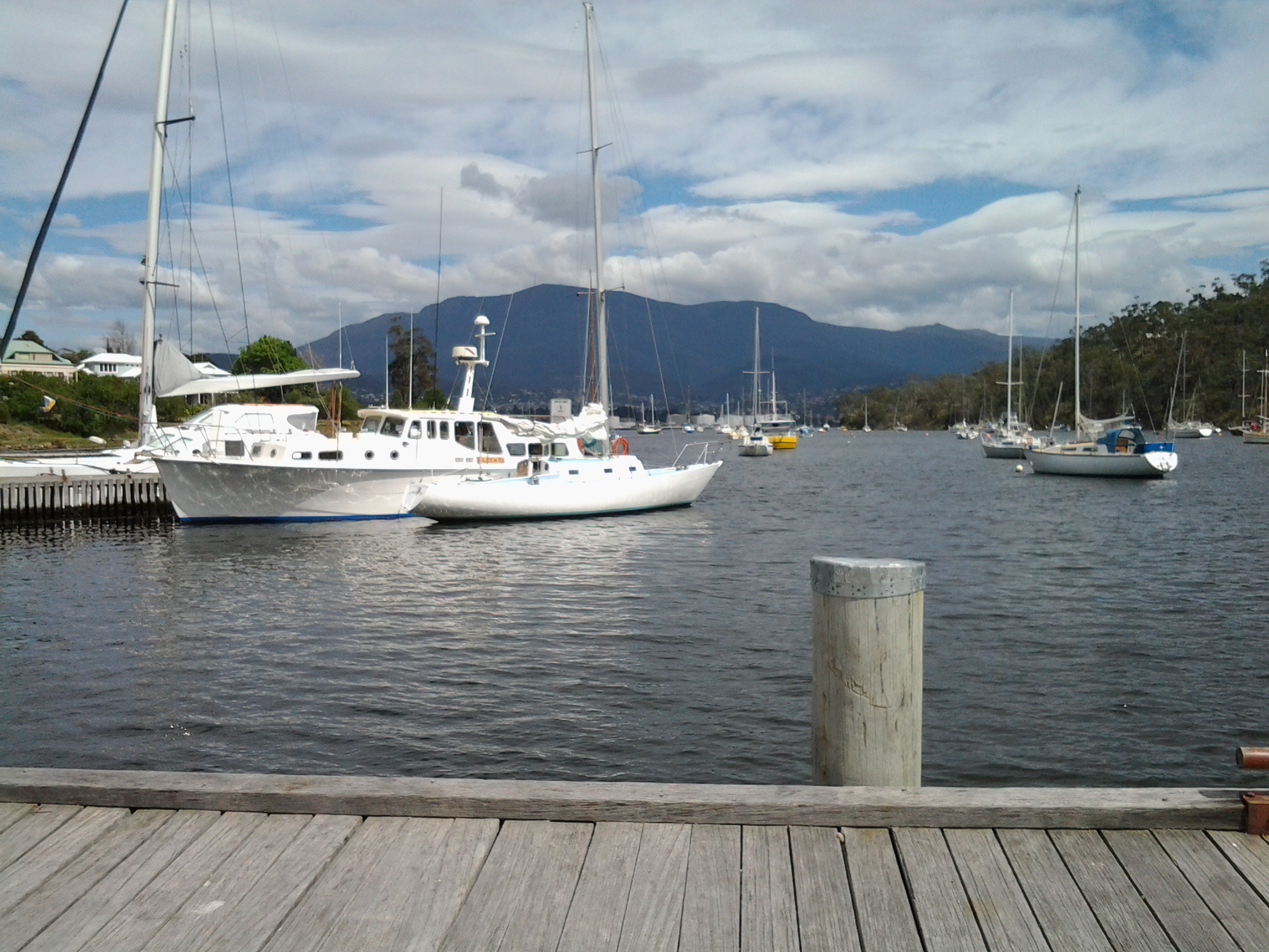
The people that I see and meet during my walks along the Derwent River always give me unexpected value.  My experience last Friday walking from Rosny Point to Geilston Bay was no exception.  People of all ages, sizes and racial backgrounds enjoyed being out and about.

There were joggers, runners, walkers, dogs leading their owners, a mother and father wrestling their son on the grass all laughing loudly and not a mobile phone or other communication device in sight, a man with a hand reel trying to catch fish from the rocks, cyclists who surprised me when they came up behind me and passed speedily and silently, the excited father and son who had seen a wallaby in the trees, a line of twelve senior men cycling without wearing lycra, five young mums in lycra with five new-baby laden prams in a row, kids skateboarding along the Trail, and families meandering to fill in the end of the school holidays. There was a man rowing a dinghy somewhere, a paddler in his kayak, and a boat motoring with trailing fish lines held by a family of three all wearing their life jackets.  Some I chatted with, for some it was a nod of ‘hello’, and for others we exchanged a wave and a friendly smile. I find that until around midday most people expect to and enjoy acknowledging others, then in the afternoon for some unexplained reason the experience changes and people are more reserved; perhaps the weight of the day has started to drag on them.

Two specialities of my walk last Friday were:

  • Along our public reserves and walkways, dog walkers can collect a black plastic bag so that when their Big Dog or Little Missie does a poop, the owner can collect the droppings from the path into the bag and add it to the garbage bins further along. The common sight is to see owners swinging a bag of excrement as they continue their walk. But on Friday I watched an innovative practice – and not one that is likely to catch on (hopefully not).  A man was walking along and he was emptying his plastic bag. Inside his bag was a mix of dirt and straw.  After the dog had pooped on the path, he poured a little of this mix over the droppings to cover.
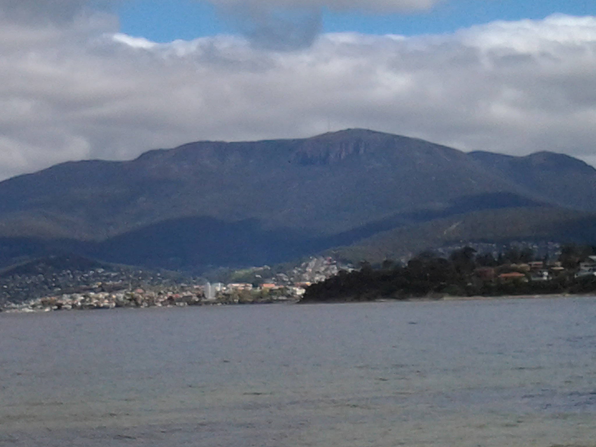
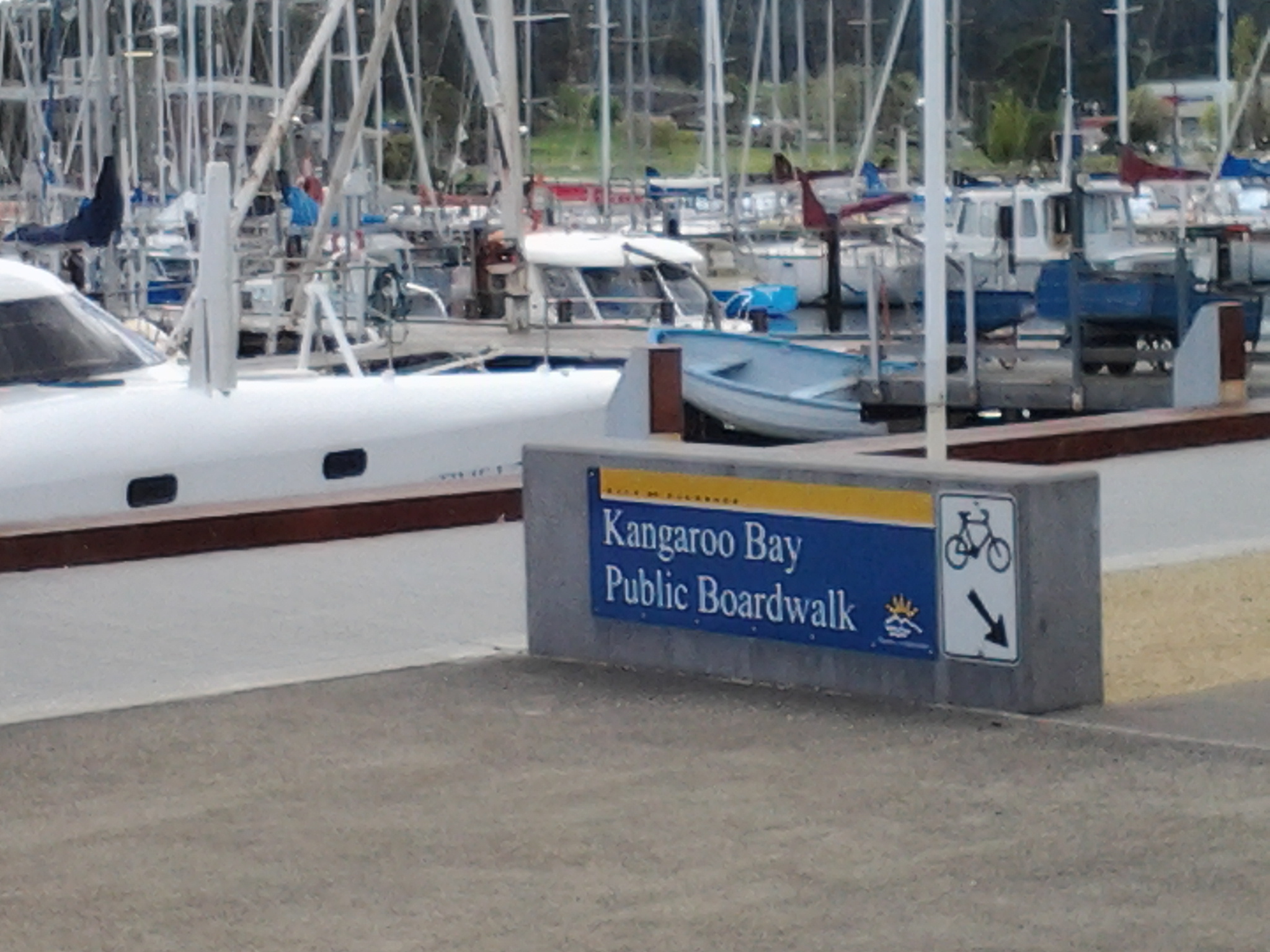
  • A woman doing interval training by walking and running along the path stopped to talk to me about the dolphins she had seen. Her eyes sparkled. Apparently 6 dolphins were playing around the boats in Kangaroo Bay (located between Bellerive Bluff and Rosny Point). Where I had left the bus to start the walk, trees obliterated my view of the Bay at the point where the dolphins would have been. I was pleased the dolphins felt safe to be there and sorry to have missed seeing them.  This event reminded me that years ago, after I met an internet dating partner for the first time at Bellerive’s Waterfront Hotel, we walked along the edge of Kangaroo Bay and watched a small pod of dolphins swimming and enjoying themselves. It says something about me that I enjoyed that experience more than the date.

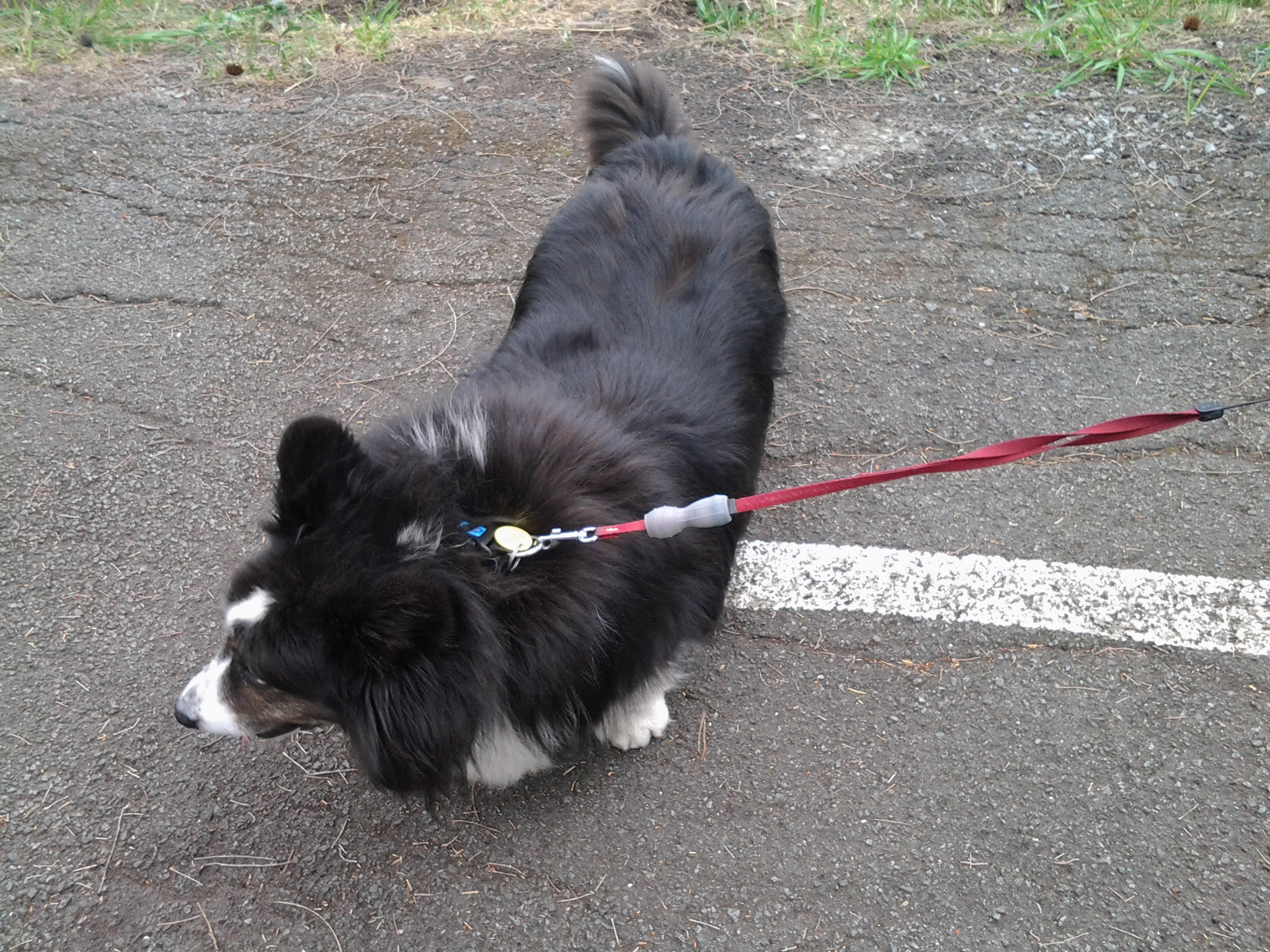
The photo below shows one of the many dogs that enjoyed their morning walk last Friday.

20141010_093850

Buses for walking the Derwent – Rosny to Geilston Bay and back to Rosny or Hobart

The website for Metro Tasmania is http://www.metrotas.com.au. When you get onto the bus you should ask for a DayRover bus fare so that you can get one ticket to be used on and off buses throughout the day.

Getting to Rosny Point

Only bus number 670 travels from Hobart city to Rosny Point but this only occurs late in the afternoon.  Therefore, from the city centre bus mall in Elizabeth St, Hobart take any bus travelling to the Eastlands Shopping Centre bus mall, Rosny Park. Please be aware not every bus that travels over the Tasman Bridge to the eastern shore of the Derwent River comes through the Eastlands Shopping Centre bus mall, but most of them do.  Consider buses numbered 605, 606, 608, 613, 614, 615, 620, 625, 638, 640, 642, 643, 644, 646, 648, 650, 652, 660, or 662. However, I recommend you always ask the driver for confirmation.

From the Eastlands Shopping Centre you have two choices to reach Rosny Point; bus number 670 (Rosny Park to Hobart City) or 675 (Rosny Park to Rosny Park Loop).

Once in the Rosny Point area, get off either at bus stop 20 or 21. Then take the road that travels down to the water from between these two bus stops. Continue walking along the road and eventually it clearly changes to the Clarence Foreshore Trail. This Trail is sometimes marked with a sign naming it. At other times the un-signposted bitumen or concrete pathway, with a broken white line marked down the length, indicates to walkers and cyclists to keep to the left hand side of the path. The Clarence Foreshore Trail continues along the Derwent River in various styles until Geilston Bay, and includes some road walking without the pathway. Along the way it is possible to stop the walk and access various buses.

Leaving from Montagu Bay if you wish

Both the 670 and 675 travel through the suburb of Montagu Bay so, having rounded the Rosny Point and arrived at Montagu Bay, it is possible to catch a bus either back to the Eastlands Shopping Centre, or to Hobart city.

Leaving from Rose Bay if you wish

Once you have left Montagu Bay and walked under the Tasman Bridge, you are in the area of Rose Bay.  To access a bus you would need to walk along the Clarence Foreshore Trail for some distance (perhaps 20 minutes) then walk up and away from the Derwent River until you reached the East Derwent Highway which runs somewhat parallel to the River. To bus back to Hobart, you should cross this Highway and wait at a bus stop on that higher side.

Leaving from Lindisfarne if you wish

Continuing onto Lindisfarne and its Bay, four buses regularly pass along the East Derwent Highway. In addition, two buses travel down the main street of Lindisfarne’s village (Lincoln St).

Departing from Geilston Bay

At Geilston Bay there are no buses at the wharf. Two choices: to walk up to Derwent Avenue through the suburban streets south of the Bay and find a bus stop along this road or, as I did, walk for 8 minutes to the East Derwent Highway along De Bomford Lane. Cross the road when you reach the Highway. Wait at bus stop 14 located left from De Bomford Lane on the Highway. If you do not cross the road you will end at the outer Greater Hobart Area suburb of Risdon Vale.

Walking the Derwent from Rosny Point to Geilston Bay – Stage 5 October 10th

A maximum temperature of 20 degrees but with a 70% chance of rain was Friday’s weather forecast.  However, I was so desperate to get out and walk another stage that I decided to brave whatever today would throw at me. I am delighted to record that only sunshine between partly clouded skies and the occasional warm breeze greeted me for the 4 and ¼ hours I was away from home.

First up, I was the only passenger to catch the 9.15am Metro bus number 675 to Rosny Point from the Eastlands Shopping Centre at Rosny (Note: this bus started at Eastlands and not from Hobart. Refer to my next posting to understand the range of bussing options for today’s walk).  Soon after passing Rosny College, the tennis courts and Bowling Club on the left in Bastick Street, I got off at bus stop number 21. I walked down Seabird Lane; this road angled down off Bastick Street between bus stops 20 and 21 and went along closer to the water of Kangaroo Bay. Seabird Lane leads into a continuing Clarence Foreshore Trail that passes along close to the River through the five suburbs: Rosny, Montagu Bay, Rose Bay, Lindisfarne and Geilston Bay. Later postings will detail how the quality of this path changes from one where a person in a wheelchair could comfortably navigate the Trail to other sections where a mountain bike would be more useful. I will also provide information about the challenges of lack of directions on and off the Trail from time to time.

Walking Time

The walking time between the point of Rosny Point and the point where the Derwent River meets the entrance to Geilston Bay is approximately 2 hours and 20 minutes. However, if you decide to take this walk, then in order to get to the starting point by bus from Eastlands and leave the Geilston Bay area by bus, the total walking time will be around 3 and ½ hours.

Walking distance

Today I walked approximately 12 kilometres, but this distance covered only 3.5 kms of the River length. Previously I had covered 19.5 kms of the length. Now I have achieved a total of 23 kms of the Derwent River.

Favourite photo

The photo below is my favourite from today’s walk. I clicked it while sitting eating my lunch on the wharf at Geilston Bay. The water reflections on the bow of the yachts on the left were sparkling, and the blue mountain provided a rich and colourful contrast in the background. Experiencing Geilston Bay for the first time was a treat. The starting point for Stage 6 of my walk along the Derwent River will begin here, so I look forward to seeing the place in the early morning light next time.

20141010_122959

The Perentie Lizard

The Perth Zoo in Western Australia looks after a Perentie Lizard (mentioned in the last posting) (http://perthzoo.wa.gov.au/animals-plants/australia/reptile-encounter/perentie/).

Perentie lizard at Perth Zoo

The Perentie is a Central Australian monitor (also known as a goanna) which is designated a ‘controlled animal’ under the Tasmanian Nature Conservation Act 2002. There is a low likelihood that this species could establish in Tasmania, with potential for minor impacts. The most significant impact is likely to be predation because Perenties have a broad diet and could potentially prey on a variety of native animals. These impacts are likely to be low because the Tasmanian climate is not suitable. This risk assessment categorises Perenties as a moderate threat to Tasmania and proposes that imports be restricted to those licence holders approved for keeping moderate threat species.

I have seen a few lizards during my walks along the Derwent River. Tasmania has fifteen different types of Skinks plus the Blue Tongue Lizard (some live in the rocks in my garden) and the Mountain Dragon. Delicate Skinks are a small, plain species, often found in suburban gardens in northern and eastern Tasmania.  Often I see a tiny Skink darting out of my way., but I do not know which type or types: more research is needed.  The photo below shows a Delicate Skink.

Delicate_Skink

The navy comes to town

From my home overlooking the Derwent River, on this grey overcast wintry Thursday around Hobart, I have just watched a small grey green naval ship charging up the Harbour accompanied by two tugs.  According to TasPORTS, the HMS Arunta was due to arrive at midday and it is now midday as it is edges along MAC4 wharf ready to moor. This perfect timing gives me great confidence in our Royal Australian Navy. Apparently HMS Arunta will depart on Monday at 10am.

HMAS Arunta (II)

When I checked the Royal Australian Navy website (http://www.navy.gov.au/), it referred to the historic ship, the HMAS Arunta (1) and provided information about the HMAS Arunta (II) (the ship which I have watched this morning). Apparently the HMAS Arunta (1) had a long history including action in World War II, was decommissioned in 1956 before sinking off the coast of NSW in 1969 having been sold for scrap.

The HMS Arunta (11) is a Frigate Helicopter (FHH) ship known as part of the Anzac class. Anzacs are long-range escorts with roles including air defence, anti-submarine warfare, surveillance, reconnaissance and interdiction.The ships are capable of countering simultaneous threats from the air, surface and sub-surface. Each Anzac frigate is fitted with an advanced package of air surveillance radars, omni-directional hull mounted sonar and electronic support systems which interface with a state-of-the-art combat data system.

The name “Arunta” comes from the Arrernte Aboriginal people (also spelt “Arunda” or “Aranda”) located in central Australia. Selection of the Arunta name and original motto ‘Conquer or Die’ recognises the ship’s proud history and the ongoing and special relationship with the ARRERNTE Aboriginal people. To maintain the warm and special bond between HMAS Arunta and the Arrernte people the Arrernte Council presented HMAS Arunta with a flag displaying a Perrente lizard. The lizard is an animal from the dreamtime for the Arrernte people. HMAS Arunta also sponsors a Perrente Lizard, the ships mascot, at Perth Zoo, Western Australia.

The five suburbs to be walked through in Stage 5 of my walk along the Derwent River

From Rosny Point to Geilston Bay, I will walk as close to the edge of the Derwent River as possible.

In so doing I will pass through five suburbs: Rosny, Montagu Bay, Rose Bay, Lindisfarne and Geilston Bay. Most were settled early in the existence of Hobart Town. In 1793, Lieutenant Hayes sailed up the River naming it and many points of interest. It was only a decade later the first settlement was made and in 1804 the final site for Hobart was established on the western shore opposite Bellerive and Rosny. Possibly Geilston Bay was named in the 1810s, Rosny in the 1820s, Montagu Bay in the late 1820s. Lindisfarne was named a century after the first settlement in 1903.

Rosny

The starting point for the 5th Stage of my walk along the eastern shore of the Derwent River will be Rosny Point. The suburb of Rosny, within the City of Clarence, is located on a narrow peninsula which juts out from the eastern shore at Rosny Point and climbs the rising slopes of Rosny Hill to the public Rosny Point Lookout.

According to one of my favourite information sources Wikipedia, Rosny was named by Walter Angus Bethune, the holder of the original grant of land on Rosny Point, after his ancestor the Duc de Maximilien de Bethune Sully of Rosny-sur-Seine  (a town situated slightly north west of Paris in France).  Bethune, a Scottish merchant, first arrived in Van Diemen’s Land in 1820 and was a significant player in the early development of Hobart and sheep farming. His descendants have played important roles in Tasmanian history.

Jean-Baptiste-Camille_Corot_-_Château_de_Rosny

Chateau de Rosny was painted by French artist Jean-Baptiste Camille Corot in 1840

Montagu Bay

This suburb was named after ‘mad’ judge Algernon Montagu, who in the early 19th century lived in Hobart Town before purchasing a property ‘Rosny’ in the Montagu Bay area of the eastern shore of the Derwent River. This small suburb sits on the river edge next to Rosny Point/Rosny and contains the Clarence Aquatic Centre and Montagu Bay Primary School. The Tasman Highway travels over a northern corner section of this suburb, leading to the Tasman Bridge which links the eastern Shore to Hobart and beyond on the western shore.

Rose Bay

The suburb of Rose Bay sits on the river edge next to Montagu Bay.

Rose Bay High School has a permanent camera facing across the Tasman Bridge over the Derwent River towards the centre of Hobart and with the back drop of Mount Wellington. Normally the site operates 24 hours of the day and night. The site is located at http://ozforecast.com.au/cgi-bin/weatherstation.cgi?station=11233&animate=6. Currently the site is being rebuilt, however I recommend you follow the progress and when re-established, save the site as a Favourite. Then you can see what the weather is like over Hobart and how gorgeous it can be to look at regardless of the weather in daylight and with the city lights sparkling at night.

Lindisfarne

While the exact origins of naming our Lindisfarne suburb remain unclear, the main thought is that from 1892 the suburb was known as Beltana. Then it was renamed Lindisfarne in 1903 after Lindisfarne a tidal Island (Holy Island) in Northumberland, a region in the far north east of England. The easternmost part of the middle of the suburb, where the Beltana Bowls Club and the Beltana Hotel are located, is still locally known as Beltana.

It has been suggested this suburb took its name from Lindisferne House, a property built in the 1820s near the suburb of Rosny. From the Clarence City Council website at http://www.ccc.tas.gov.au/page.aspx?u=1601 “Lindisfarne is thought to have been named by Hezekiah Harrison, a free settler, who was granted land in the area in 1823. Harrison had lived just a few miles from Lindisfarne Island, on the Northumbrian coast. Known as the ‘Holy Island’, Lindisfarne was the base from which St Aidan worked to spread the Christian faith through the north of England in the eighth century AD. However, it is unclear whether the area was named by Harrison or the next owner, Thomas George Gregson, a prominent free settler who purchased much of the land between Risdon and Rosny. Gregson grew up in Lowlynn, very close to Lindisfarne Island in England.”

Geilston Bay

Apparently the inlet of Geilston Bay was named after Colonel Andrew Geils who was appointed Commander of the settlement of Hobart in 1812. Colonel Geils lived on a property in Geilston Bay which he called ‘Geilston Park’.

Est-ce que je suis un flâneur?

Friend Ka suggested that ,in my walks along the Derwent River, I may have become what the French term, a flâneur.

I had never heard this wonderful word before, and with a little research discovered a great deal of information – and some very heavy stuff. After reading it all, I wonder – am I un flâneur, or not? The Oxford Dictionaries informed me a flâneur is “A man who saunters around observing society” and is derived from the French flâner meaning to ‘saunter, lounge’.

Wikipedia offered further information: “The flâneur was a literary type from 19th century  France, essential to any picture of the streets of Paris. The word carried a set of rich associations: the man of leisure, the idler, the urban explorer, the connoisseur of the street.  The flâneur was defined by Larousse in ambivalent terms, equal parts curiosity and laziness and he presented a taxonomy of flânerieflâneurs of the boulevards, of parks, of the arcades, of cafés, mindless flâneurs and intelligent flâneurs. The image below is by artist Paul Gavarni in 1842 and titled Le Flâneur.

Paul Gavarni Le Flaneur 1842

Wikipedia continued: In the 1860s Charles Baudelaire presented a memorable portrait of the flâneur as the artist-poet of the modern metropolis: The crowd is his element, as the air is that of birds and water of fishes. His passion and his profession are to become one flesh with the crowd. For the perfect flâneur, for the passionate spectator, it is an immense joy to set up house in the heart of the multitude, amid the ebb and flow of movement, in the midst of the fugitive and the infinite. To be away from home and yet to feel oneself everywhere at home; to see the world, to be at the centre of the world, and yet to remain hidden from the world – impartial natures which the tongue can but clumsily define. The spectator is a prince who everywhere rejoices in his incognito. The lover of life makes the whole world his family. Thus the lover of universal life enters into the crowd as though it were an immense reservoir of electrical energy. Or we might liken him to a mirror as vast as the crowd itself; or to a kaleidoscope gifted with consciousness, responding to each one of its movements and reproducing the multiplicity of life and the flickering grace of all the elements of life. Charles Baudelaire, “The Painter of Modern Life”, (New York: Da Capo Press, 1964). Orig. published in Le Figaro, in 1863.”

The website for The Arcades Project at http://www.thelemming.com/lemming/dissertation-web/home/flaneur.html explained that “Flâneur” is a word understood intuitively by the French to mean “stroller, idler, walker. He has been portrayed in the past as a well-dressed man, strolling leisurely through the Parisian arcades of the nineteenth century – a shopper with no intention to buy. Traditionally the traits that mark the flâneur are wealth, education, and idleness. He strolls to pass the time that his wealth affords him, treating the people who pass and the objects he sees as texts for his own pleasure. An anonymous face in the multitude, the flâneur is free to probe his surroundings for clues and hints that may go unnoticed by the others.  As a member of the crowd that populates the streets, the flâneur participates physically in the text that he observes while performing a transient and aloof autonomy with a ‘cool but curious eye’ that studies the constantly changing spectacle that parades before him (Rignall 112). As an observer, the flâneur exists as both ‘active and intellectual’ (Burton 1). The flâneur  has no specific relationship with any individual, yet he establishes a temporary, yet deeply empathetic and intimate relationship with all that he sees – writing a bit of himself into the margins of the text in which he is immersed. Walter Benjamin posits in his description of the flâneur that ‘He flows like thought through his physical surroundings, walking in a meditative trance, (Lopate 88), gazing into the passing scene as others have gazed into campfires, yet ‘remain[ing] alert and vigilant’ all the while (Missac 61). The flâneur is acutely aware, a potent intellectual force of keen observation – a detective without a lead. If he were cast as a character in the ‘drama of the world’, he would be its consciousness.”

The Paris Review at http://www.theparisreview.org/blog/2013/10/17/in-praise-of-the-flaneur/ remarked: “the idea of flânerie as a desirable lifestyle has fallen out of favour, due to some arcane combination of increasing productivity – hello, fruits of the Industrial Revolution! – and the modern horror at the thought of doing absolutely nothing. But, as we grow inexorably busier – due in large part to the influence of technology – might flânerie be due for a revival?”

Am I … can I be a flâneur? Whatever the answer to this question I am so grateful for Ka introducing me to this fabulous new word and all its ideas.

Update on the name Bellerive

New research, since that undertaken for my last posting where I indicated the name change happened in the 1830s, gives much more precise information. I have just discovered that the present name of Bellerive was officially proclaimed in 1892.  This news makes me understand clearly why Glover and von Guerard referred to the site as Kangaroo Point.

Bellerive

Last Friday/Saturday the fourth stage of my walk along the Derwent River finished in Bellerive. Being curious to know a little history of this Hobart suburb’s existence, I discovered it was first settled in the 1820s after years of people ferrying across the Derwent River from Hobart Town. Its first name was Kangaroo Point.  No prizes for guessing why.  Apparently the area abounded with native kangaroos (and/or perhaps the prolific Bennetts Wallaby which is often referred to as a kangaroo).

The name changed from Kangaroo Point to Bellerive around 1830, using the French language as inspiration: bel = ‘beautiful’ + rive = ‘bank’.

However, its original name seems to have been retained in common usage, because two eminent artists of the 19th century produced art work located from Kangaroo Point. The renowned English artist John Glover painted Mount Wellington and Hobart Town from Kangaroo Point in 1834, and the Austrian artist Eugene von Guerard, who was active in Australia in the middle of the 19th century, created a colour lithograph Hobart Town, from Kangaroo Point, Tasmania in the late 1860s.

The Glover painting is at home in the Tasmanian Museum and Art Gallery in Hobart.  This picture interests me because some of the original indigenous land owners, the Moomairremener people, have been depicted on the banks of Kangaroo Point, and there is very little sign of the ‘civilisation’ of Hobart Town on the other side of the Derwent River.  By contrast, 30 odd years later von Guerard’s print shows considerable build-up of Hobart Town beneath a snow capped Mount Wellington.

John Glover- from Kangaroo Point towards Mt W and Hbt Town

The von Guerard lithograph is at home in the National Gallery of Victoria in Melbourne.

Von Guerard Hbt Town from Kangaroo Point

These days, Bellerive is a suburb of the Greater Hobart Area completely covered with streets and houses of every vintage. With its easy access to excellent sandy beaches, a vibrant village shopping centre, the regular presentation of fantastic free public festivals, and safe marina, Bellerive is a great place to live or visit.

Reconnaissance trip to and from New Norfolk

Last Sunday, friend Me took me on a discovery drive from Bellerive to New Norfolk along the eastern shore of the Derwent River.

We were curious to see how closely I would be able to walk along the edge of the River, and the extent to which I would need to deviate or stay on main roads.  It was an eye opener giving me advance warning of the walking challenges ahead.

The main handicap will be the limited opportunities to walk directly beside the River up on banks and not be required to jump along the often rocky shoreline or get lost in tall watery grasses. Even accessing the rocky or soft shores will be problematic. For example in one area, where maps indicate public roads branch off main roads, landowners with 5 acre blocks have fenced their properties and the roads down to their houses are blocked by gates. I believe that some of these roads are those mapped for public access and as such the landowners do not have the right to restrict access for the public to connect with the River beyond.  More research required.

Clearly public bus routes travel from Hobart through eastern shore suburbs on the way to Bridgewater, however bus stops are widely dispersed and the timetables indicate less frequent services, all of which will constrain me in the length and timing of my walks between these two suburban areas.

The future walking stage between the Bridgewater Bridge and New Norfolk has been concerning me.  I doubted whether bus stops existed along the way. We found there were no public bus stops on either side of the River, and the distance whether walking the road on the eastern or western shores amounts to a day walk rather than a morning or afternoon walk to cover that length. New Norfolk is 35 kilometres from Hobart. The distance from the Bridgewater Bridge to New Norfolk along the road on the western shore is the shortest at 17 kilometres compared to around 20 kms on the eastern side.

As a result of Sunday’s research, I plan to continue on the eastern shore of the Derwent River and walk to the Bridgewater Bridge, cross it, then walk back towards Hobart and ultimately finish at the mouth of the Derwent River in the Tinderbox area. Once those stages are complete, then I will return to the Bridgewater Bridge and proceed towards New Norfolk and beyond.

Thanks Me for all the laughs we had during our discoveries. It was a fun excursion.

Memories of the Bellerive Fort and Bellerive Bluff

A few days ago, I added a new post to this blog about the Bellerive Fort on the Kangaroo Bluff Historic Reserve. In response, friend Ma tells me she loves the Fort. “I played there as a child when I visited Mattie and Connie, Dad’s cousins in the Queen Anne house opposite the entrance to the Fort. My grand-kids have also made a few movies there with me.”

An earlier email from Ma told me: “Well I have wasted or not wasted four days searching family history re Kangaroo Bluff.  There are streets (including Buchanan Street) named after family members such as my Pa and Grandmas’ families and my fathers’ aunt. The cousins built at least 3 if not 4 mansions on that Bluff, including Bluff House and Wyvenhoe (29 Queen St) both of which I visited as a kid. They only passed out of the family in the late 60s or early 70s. And my grandfather, for some years, ran the pub where it is now plus another one that has been demolished, and the Rokeby Inn, a heritage building which was destroyed in the 1967 bushfires. I always thought I should buy a house in Buchanan St but felt that was a bit much even for me!!!”

Frequently asked questions

After discovering how to add a new page to this blog, I created one with a list of questions and answers to explain what I am doing and where I have walked. As my walks continue, this page will be updated. In addition, as people ask further questions frequently, new questions and answers will be added.

Go to www.walkingthederwent.com and near the top are two headings: HOME and ABOUT ME. Hover your mouse cursor over ABOUT ME to see the drop down FAQ option. When you click on this, a new page packed with information appears.

If any reader has a question they want answered, please ask.

People and their projects

This blog records my walk along the Derwent River, as my own special project. On my second walk, I met a woman who with a group of friends had started the project of walking every beach in the City of Clarence local government area – all 94 kilometres. When I met her, already 87 kilometres had been covered.

Today in the The Age newspaper journalist Lawrence Money introduced the story of “One woman’s epic bike trek to Timbuktu and beyond”. Kate Leeming, a Melbourne woman cycled on her own, from the west coast to the east coast of Africa over 10 months. In addition, I learnt previously she had cycled across Russia alone, and currently is planning to ride a ‘polar cycle’ across the Antarctic.

Kate’s cycling treks are really enormous personal projects, the like of which I could never consider. Nevertheless, it confirms me in the belief that we can all find our own projects, small or large, long or short and keep actively discovering the limits of ourselves and our environment, whether near or far from where we live.

Kangaroo Bluff Historic Reserve and Bellerive Fort

Near the end of my Stage 4 walk from Tranmere to Bellerive Bluff along the Derwent River, I saw a sign pointing to the Kangaroo Bluff Historic Reserve which I chose not to visit. However, my curiosity was aroused. So the next day, last Saturday, I made a special trip and walked to the Reserve to find out more.

20140927_091124

As I walked toward the entrance, I was puzzled. I could see a narrow road passing between two raised hills. On closer inspection when I discovered a massive deep and long ditch from the left to the right outside the stone edged wall of earth, clearly this site was the remains of a fortification.

20140927_091051

The site was a battery complex with underground tunnels and chambers for magazines, stores, the lamp room, a well and loading galleries. The public do not have access to the underground since these parts were bricked up in the 1920s: I would have been very interested to see the speaking tubes set into the walls used for communication purposes.

However there are many metres of well-preserved channels which can be walked in and around.

20140927_090522

20140927_090924

Signage provided useful information. I now understand that the idea of a protective Fort was first discussed in the 1830s as a means to protect the merchant ships travelling up the Derwent River, although I am unclear who might have attacked from the sea because Van Diemen’s Land (now named Tasmania) was very isolated from the rest of New Holland (now named Australia). However, it was not until difficulties were being felt between England and Russia in the 1870s that a renewed push for a Fort was made.

20140927_085957

By 1885 the defensive Fort was built – although I cannot imagine why anyone would think that Russia would believe it useful to send a war ship to the tiny colonial and penal colony in Hobart. It does not surprise me that the two canons were never used as war weapon.

20140927_090533


Kangaroo and Bellerive Bluffs on Stage 4 of my walk along the Derwent River

After lunch, I walked up to the road (Victoria Esplanade), turned left and proceeded to walk around a new headland, Kangaroo Bluff. The photo below looks south along Bellerive Beach to Second Bluff.

20140926_121521

Continuing the walk and a little way ahead at Gunning St, on the right hand side of the road, a sign indicated the Kangaroo Bluff Historic Site could be reached uphill in a couple of hundred metres. I didn’t take this route rather I continued on the Trail around the Bluff until I reached Bellerive Bluff, the official finishing point for my walk on Stage 4 along the Derwent River. Before reaching Bellerive Bluff, I watched the tomato red coloured Aurora Australis, the Australian Antarctic Division’s research and resupply flagship, manoeuvring around the Derwent Harbour.

Once I arrived at Bellerive Bluff, an information sign reminded me that Charles Darwin, the eminent English naturalist, visited when the Beagle sailed into Hobart in 1836. The sign is particularly informative because it includes a map showing exactly the path Darwin walked on the eastern shore, some of which I have walked during Stage 4. Apparently some of the geological research and findings he made here on the eastern shore of the Derwent River, laid the grounds for the development of the significant theory of continental drifts. This information reminded me that it does not matter in which little pocket of the world you live, some important global story will come from it.

The next, 5th leg of the walk will start opposite Bellerive Bluff at Rosny Point, on a day yet to be determined.  The dark treed headland in the photo below is Rosny Point at the foot of the low Rosny Hill (the ever present Mount Wellington is visible in the distance).

20140926_113324

From Bellerive Bluff further walking is required to access bus routes and return to the Hobart city centre (although I walked home nearby). The Clarence Foreshore Trail continues along the edge of Kangaroo Bay from Bellerive Bluff. This pleasant walk leads to the Bellerive Ferry dock, a Fish and Chip Bar, and the Waterfront Hotel all overlooking the calm Kangaroo Bay with its marina full of yachts.

20140926_130133

Continuing past the Hotel onto the Boardwalk (which stages wonderful open-air festivals throughout the year such as the Seafarers Festival, the Jazz Festival, and the Fruit Wine Festival) there are two choices: to continue along the edge of Kangaroo Bay and past the Bellerive Yacht Club, or to walk up to the street and access the shops and restaurants of Bellerive Village. On the road (Cambridge Road) after the Yacht Club, after the shops finish and not far from the intersection lights, the sign for bus stop number 8 is planted on the edge. From here a bus can be hailed (please do not expect a bus to stop if you do not hold out your arm and indicate, even though you may be standing at the bus stop).  A timetable of bus services is posted on the bus stand.

Once on the bus, you should feel satisfied (and so lucky) that you exercised your body, cleansed your mind, and experienced the beauty of a portion of the Derwent River and its immediate environment. At the end of every walk I treasure where I have been during the day, and I am always excited thinking about the unknowns of the next stage, and looking forward to it.