This question was on the minds of the new settlers to Van Diemens Land in the early 1800s.
In 1835 George Frankland, Surveyor General to the government of the time, organised a ‘search’ party to locate the source. After the expedition he wrote a report for despatch to the ‘mother country’, England. The brief text has been published as The Narrative of an Expedition to the Head of the Derwent and to the Countries bordering the Huon in 1835. The small book was reprinted by Nags Head Press for the publisher Sullivan’s Cove in 1983.
No description exists of how Frankland and his party travelled inland until they reached a property or area then known then as Marlborough (now known as Bronte) in the Lake country, located west of Lake Echo and directly east of Lake St Clair by over 30 kilometres. Marlborough was a probation station for North American prisoners in the 1830s/40s.

The map above can be seen in the story: ‘They left Jefferson County forever…’
The Marlborough district was discovered by Surveyor Sharland who also found Lake St Clair, in 1832, only three years before Frankland felt compelled to find the source of the Derwent. It seems Sharland did not realise it was the Derwent River that flowed from the southern end of Lake St Clair. Further information can be read in G. H. Stancombe’s paper Notes on the History of The Central Plateau.
The Lyell Highway, according to the Highland Lakes Settlement Strategy has been known as the Marlborough Road where it runs westwards of Ouse and towards the area around Bronte.
Information, which is totally irrelevant to my writings about the Derwent but nevertheless interesting, concerns an earthquake near Marlborough that was recorded in The Courier, a Hobart newspaper on 25 April 1854. Thomas Bellinger reported ‘I beg to inform you of a very strange occurrence on the evening of the 24th of March last. A shock like that of an earthquake was felt in almost every part of the Marlborough District. Two shepherds were gathering sheep the other day and discovered the cause of it. I went to the place yesterday: there has been some fearful volcanic eruption, rocks of enormous size have been driven about, the face of the earth appears to have been hoisted in the air and pitched surface downwards. I cannot describe to you the appearance, but if you will come up I am sure you will be highly gratified – the distance is about ten miles from this.’ I have no information about where Thomas Bellinger was writing from but I am curious to hunt out the location of this upheaval.
After that information detour, let’s go back to the expedition to find the source of the Derwent River.
Following a ‘difficult journey from the settled Districts’, all members of George Frankland’s party assembled at Marlborough on the 7 February 1835. The record shows that George Frankland did not follow the edges of the Derwent, rather he crossed the Nive River (which empties into the Derwent River much further south), then travelled north-westwards. Initially densely forested hills stymied progress with horses, and then the boggy plains ahead slowed him down. He continued generally in a westward direction and after almost five days, found Lake St Clair; ‘we suddenly found ourselves on the edge of a beautiful Lake in the heart of Scenery of the most picturesque Character’. After further walking around parts of the lake, Frankland reports ‘It was a fine summers day and the Air was so serene that the surface of the Water was scarcely ruffled but the sandy beaches bore evidence of the Lake being at times as rough as the Sea. I will not here dilate on the extreme beauty of this scenery as it might be considered out of place in an official report, but … I feel it difficult to avoid expressing the impressions of delight which were inspired by first discovering of such a romantic Country…’
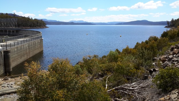
On the 14th February, Frankland despatched two of his party to return to the source of the Derwent and follow it downstream on the left bank while he set out to explore the country on the right bank. Both parties walked across open plains where Lake King William now fills the area. They reunited the next day. One of the party, a Mister Calder was despatched to continue along the edge of the river until he met the entrance of the Nive, which he successfully achieved (although details are absent). Meanwhile Frankland tried to continue following after Calder but was only able to proceed for 3 miles. ‘At that point we plainly perceived that the Country had … become such a thick forest that to take the horses any further was out of the question.’ The result was that Frankland split the party further with the horses taking an easier route to Marlborough.
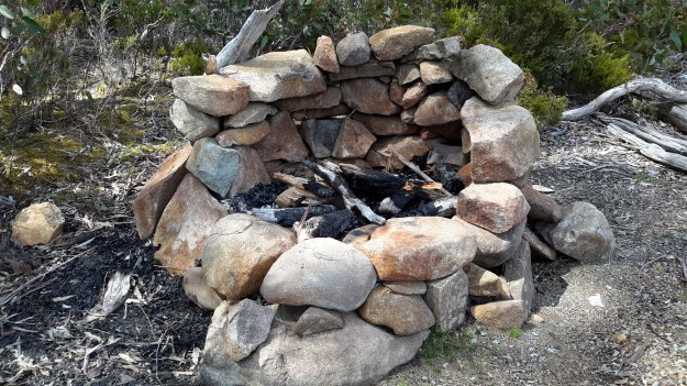
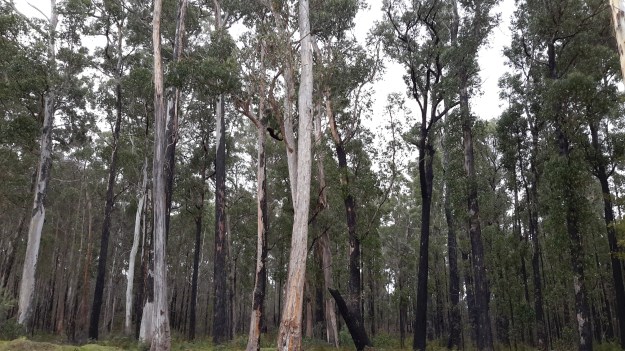
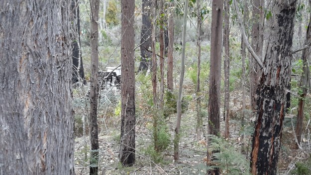
On their first day trying to walk the edge of the Derwent, Frankland recorded ‘This day was consumed by a laborious march of two miles through a most obstinate scrub – and we bivouacked on the steep edge of the Derwent after wading for a considerable distance through the torrent, up to the middle, as the easiest mode of travelling.’ The forest is as dense in 2015 as it was then, so regular blog followers can appreciate why walking some sections of the rest of the way to Lake St Clair concerns me.
At this point Frankland was for giving up. ‘On the 18th February I determined on leaving the Derwent and accordingly struck away to the N.E. The forests continued depressingly thick – but by dint of labour we accomplished about four miles this day’. Only four miles in a day for strong men! What chance do I have of walking this part quickly or easily?
A couple of days later Frankland reached Marlborough and from there he set off to cross the Derwent River and explore the Huon River area further south.
Thank you Andrew for alerting me to this report and for the loan of the book.
-42.213911
146.442456


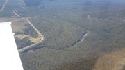

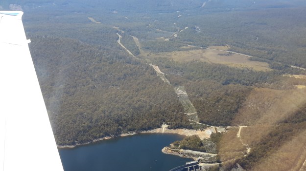


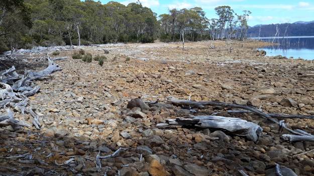
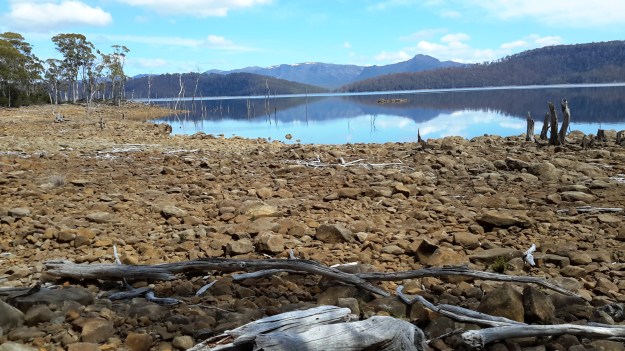
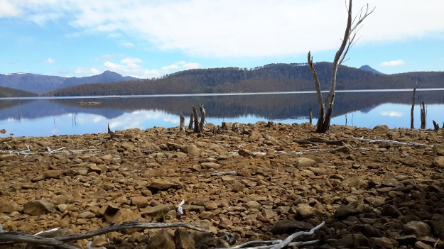


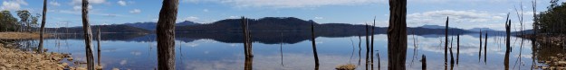


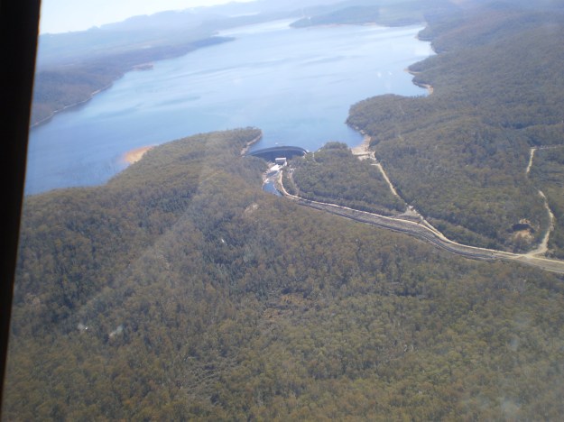


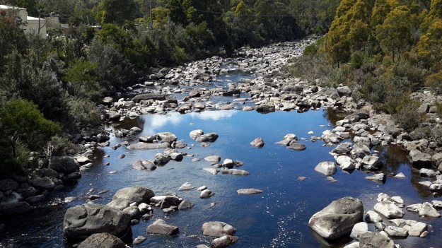

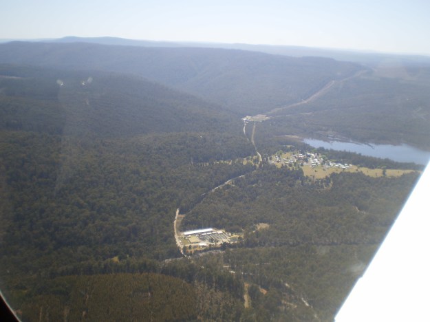
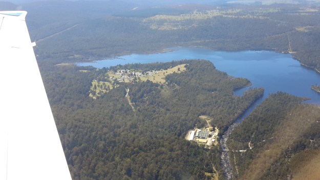
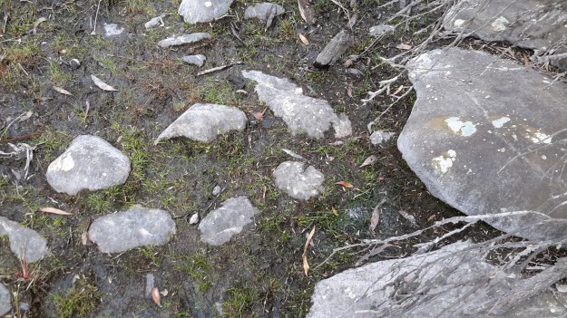
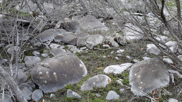
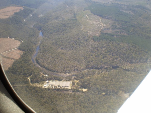
 A couple of Chantale’s aerial photos show similar rocky beds along this remote and wild part of the Derwent River.
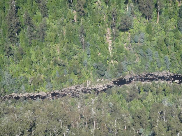


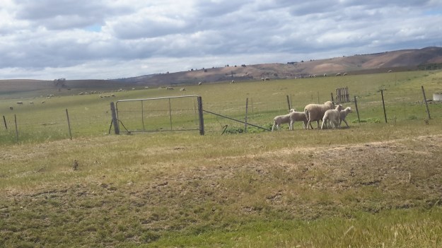


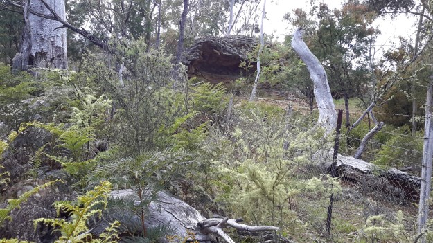
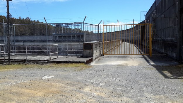
 Clever animals – they had been able to gradually force up fences in order to continue moving through paddocks. If you study the photograph below, on the lower right hand side you can see the wire mesh fence has been raised by rounding it up from the ground.