Tag Archives: Derwent River

Where did the name Tarraleah come from?


According to websites, site 1 and site 2, the name ‘tarraleah’ is the local Lairmairrener Aboriginal word for the Forester Kangaroo.  The Lairmairrener language was spoken by Teen Toomele Menennye (Big River) kinship groups who lived in central Tasmania and further afield.

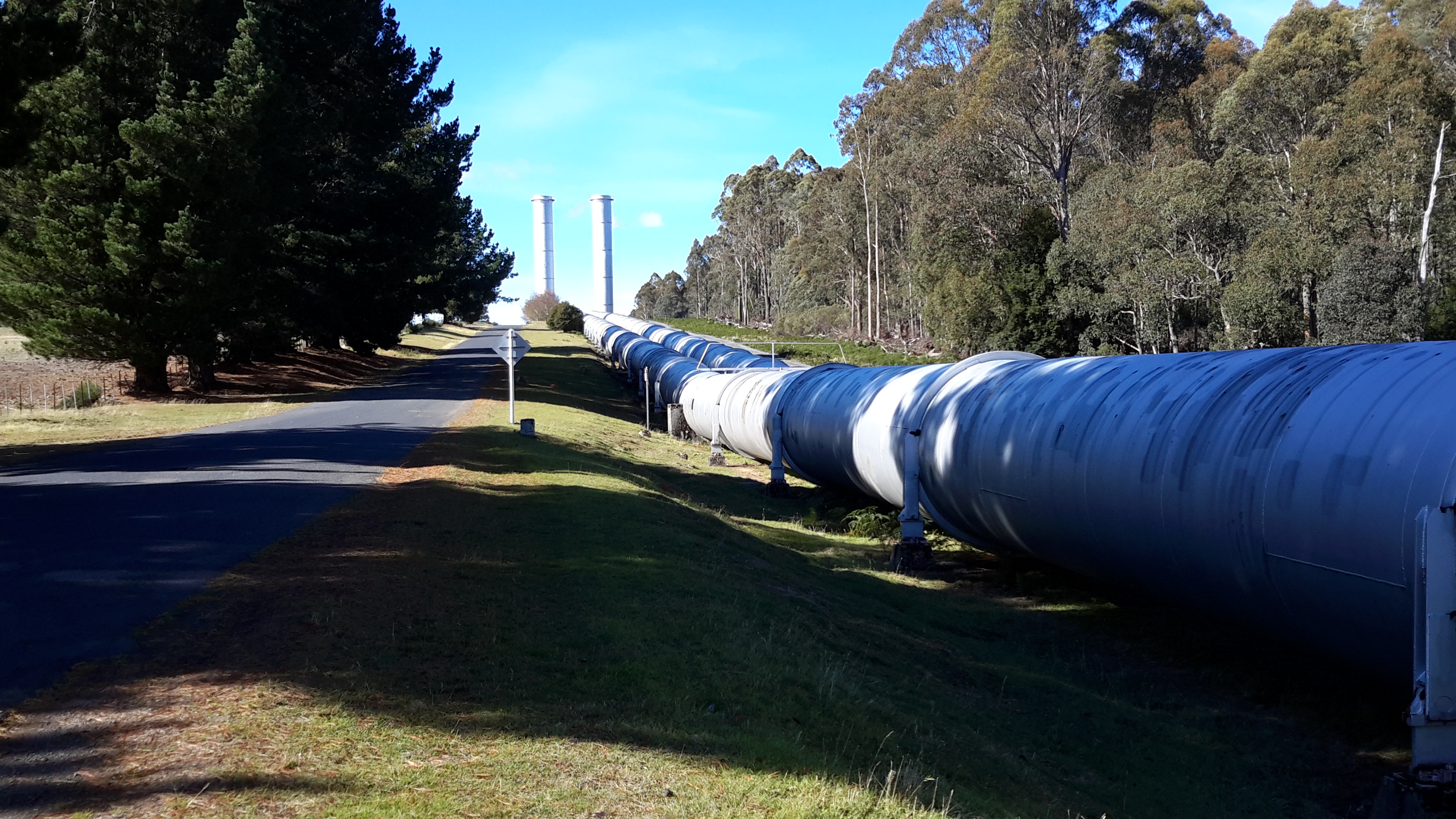
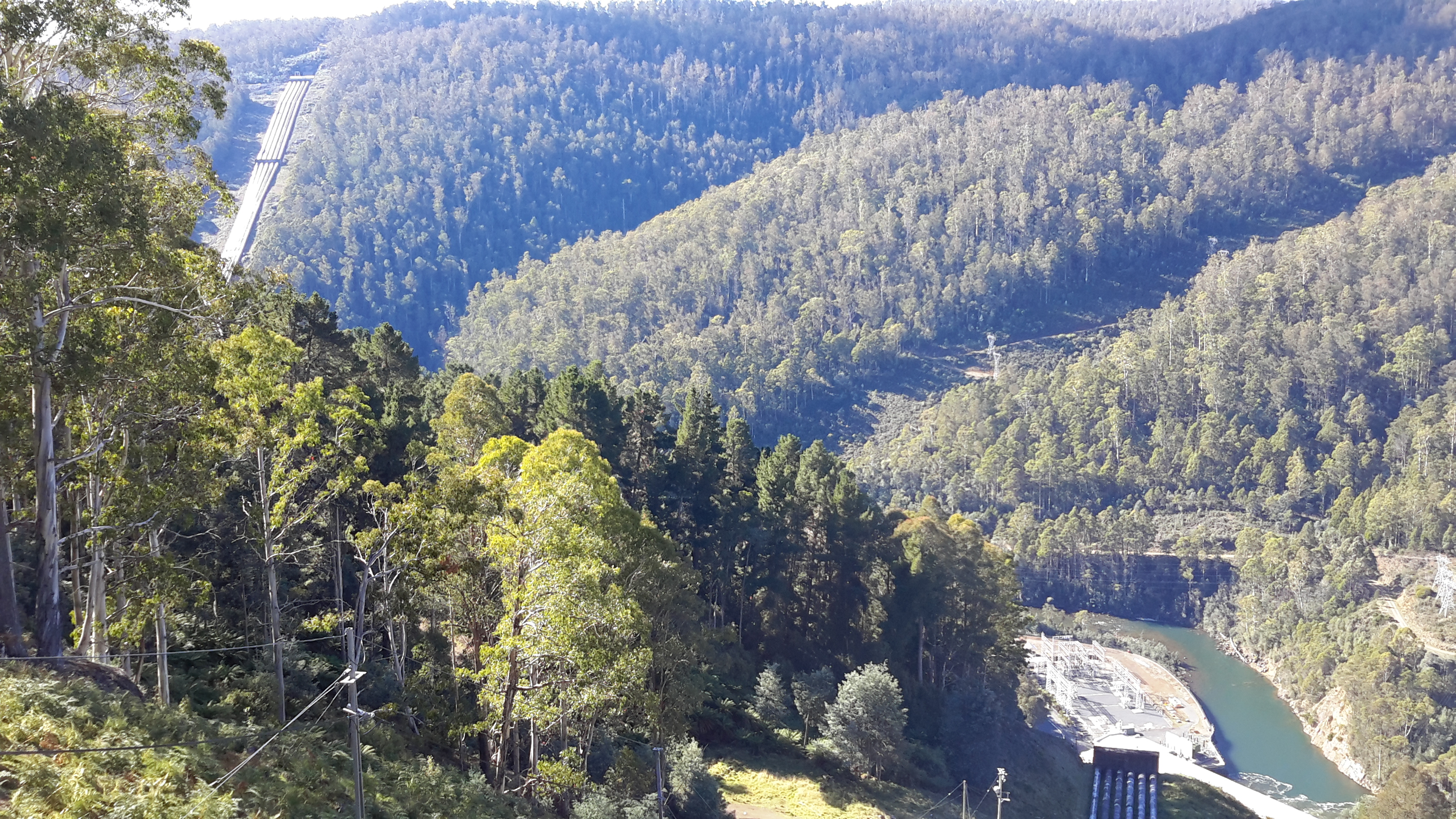
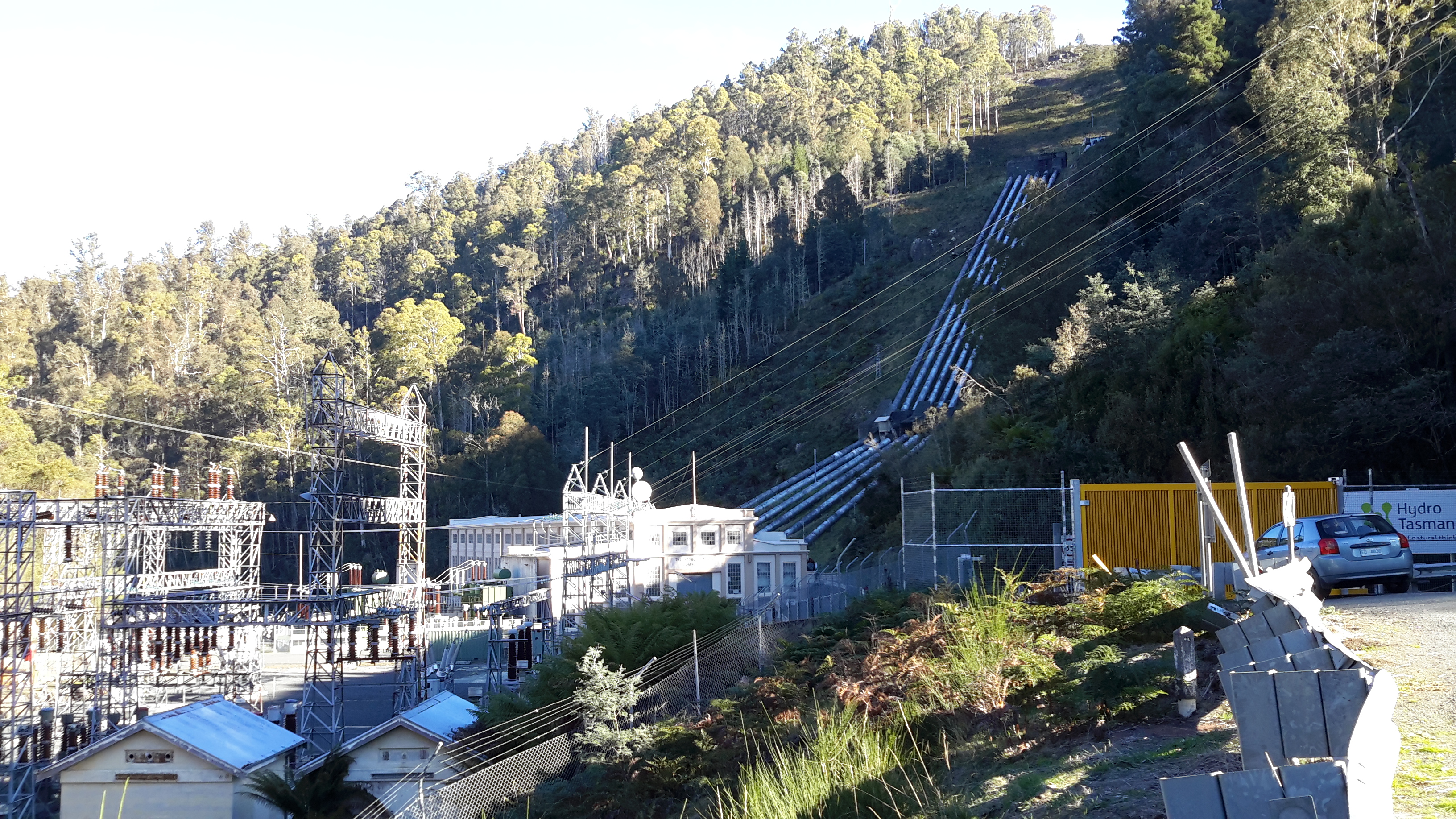
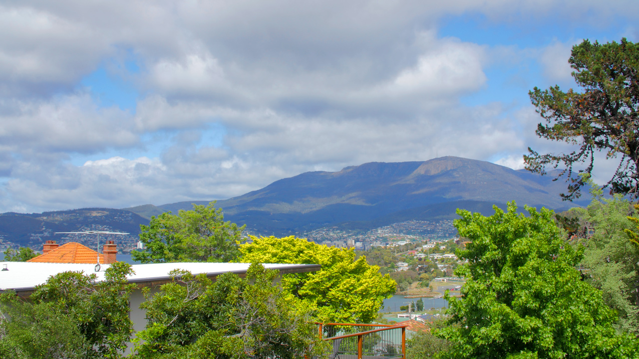
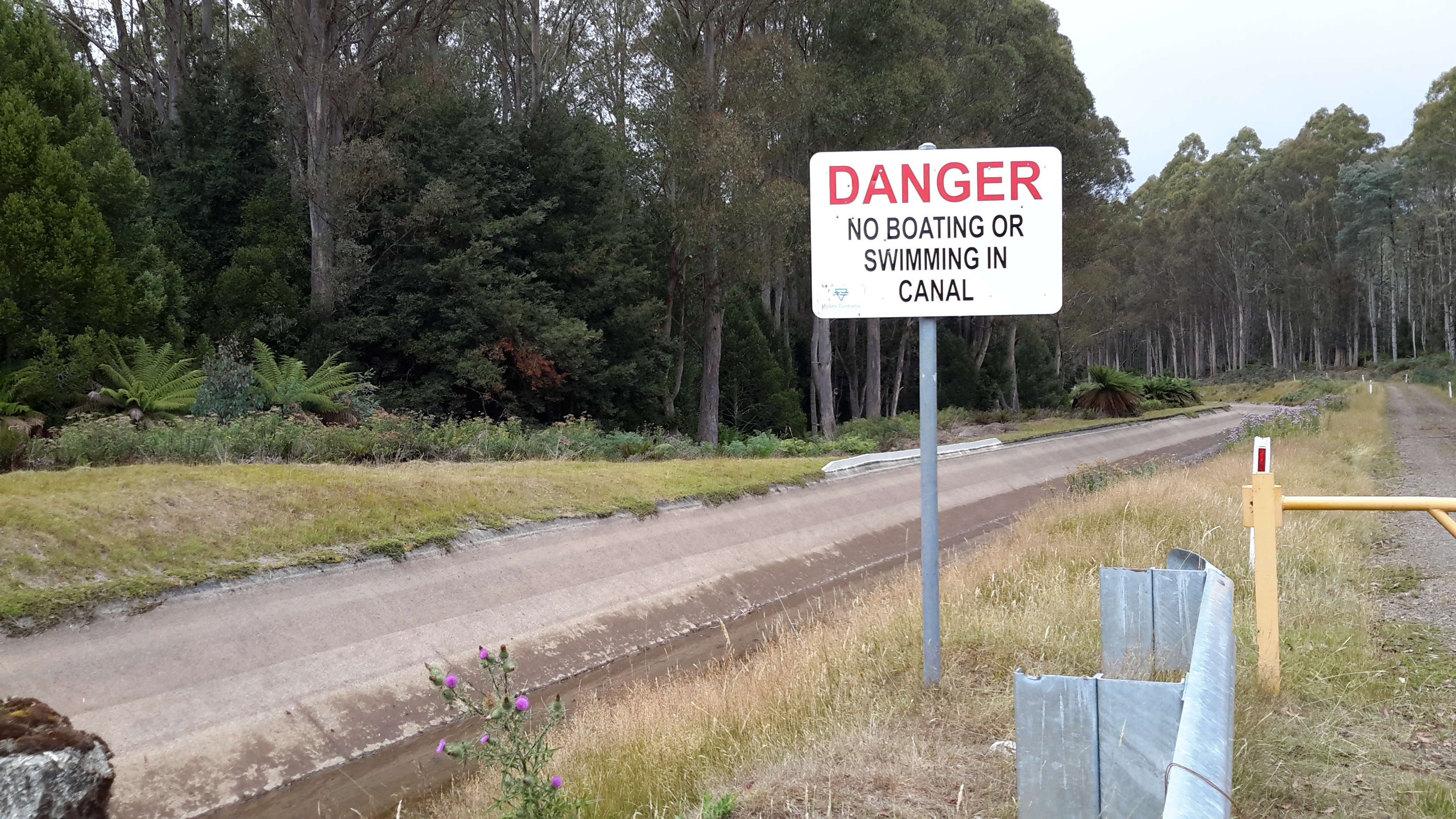
There is nothing about the township of Tarraleah that has ever made me connect it with our Kangaroo – it has always been firmly imprinted on my mind as a town created only to support the expansion of hydroelectric power.  I wonder how prolific this Kangaroo was in central Tasmania at the time of naming the town; whether the word ‘tarraleah’ was used by white developers loosely without care for accuracy in location.

These days the area of central Tasmania near the Derwent River, where uncleared, often consists of very dense rain forests and I doubt this environment is one easily accessible for the large Forester Kangaroo. Their preference is for more open temperate forests.  Of course 10,000 years ago, the vegetation was different. The last Ice age generally caused much aridity across Australia so I assume the vegetation would have been comparatively open in the area where the township of Tarraleah now stands. Members of our aboriginal communities may possess stories passed down through the millennia about ‘tarraleah’ in this part of Teen Toomele Menennye country.

The National Museum of Australia notes  Bass Strait was not always a strait (of water). It used to be a plain populated by Indigenous peoples who moved back and forth between what we now call Victoria and Tasmania. The first humans arrived in Tasmania around 40,000 years ago. About 30,000 years ago an ice age began, which caused sea levels to drop about 120 metres and created a continuous land mass that stretched between Papua New Guinea and Tasmania. When the ice melted – a process estimated to have taken 6000 years – Bass Strait formed and became an almost impassable barrier by about 12,000 years ago.”

The Australian government explains the Forester Kangaroo, “Macropus giganteus tasmaniensis is recognised as the Tasmanian subspecies of the Eastern Grey Kangaroo, Macropus giganteus, which is widespread throughout the eastern Australian mainland. The subspecies status of the Forester Kangaroo is based on differences in its skull and coat from the mainland population and its isolation in Tasmania for at least the last 10 000 to 15 000 years. Studies indicate that there is less than 1% difference in the mitochondrial DNA between the mainland Eastern Grey Kangaroo and the Forester Kangaroo.”

Tasmania’s Parks and Wildlife Service explains the Forester Kangaroo “is the largest marsupial in Tasmania and the second largest in the world – males can reach over 60 kg and, when literally on tippy toes, stand 2 m tall! Colour varies from light brownish grey to grey. In Tasmania during the 1950s and 60s, the population of Forester kangaroos was reduced to 15% of its previous level.”  Tasmania’s Department of Primary Industries, Parks, Water and Environment  reports “By the early 1900s, as a result of unsustainable levels of hunting (by European settlers in Tasmania) and to a lesser extent land clearance, the species was in serious decline. By 1970, Forester Kangaroos were to be found in only two areas; parts of the Midlands and the far north-east of Tasmania. This was less than 10% of its range at the time of European settlementSince then a number of measures have been implemented to reverse this trend.”

Derwent River water passes via the township of Tarraleah


Earlier this year the entire town of Tarraleah was on the market for sale.  Refer article 1, article 2 , and article 3.

If you were to follow Derwent River water by walking from the western end of Lake Catagunya at the Wayatinah Power Station inland past the Wayatinah Lagoon to the Liapootah Power Station then follow the Nive River to the bridge next to the Tarraleah Power Station (with the Tungatinah Power Station on the other side of the bridge), you could look up the hill to see massive penstock pipes descending the hill from the township of Tarraleah above.

The water falling down these pipes is Derwent River water which has travelled via Tarraleah Canal 1 and Tarraleah Canal 2 after processing through Butlers Gorge Power Station at the foot of Clark Dam that holds back the waters of Lake King William.

I chose not to walk the route via the penstocks and Tarraleah township when walking from the mouth to the source of the Derwent River,  rather to follow the original river bed albeit a scatter of stones and limited water during the summer, between Wayatinah and Butlers Gorge Power Station.

However, knowing that Derwent River water flowed along the Canals and through the massive pipes, I did visit the township of Tarraleah during the period when it was advertised for sale. I was curious to see what the township of Tarraleah looked like (it had been many years since I last visited). Despite being centred within lush dense rainforest, thankfully no rain fell at Tarraleah and the sky was blue and the day sunny when I visited. I approached the town from the highway and followed the slightly snaking pipes.

20160425_132005.jpg

20160425_132023.jpg

At the point where the pipes arrive at the top of the hill and are about to drop down the hill, I browsed public information boards and plaques.

20160425_132500.jpg

20160425_132512.jpg

20160425_132726.jpg

20160425_132711.jpg

20160425_132826.jpg

20160425_141509.jpg

The views from the township were dramatic. I am forever in awe at the engineering achievements of the past.

20160425_132537.jpg

20160425_132615.jpg

20160425_132653.jpg

These days Tarraleah is a place that acknowledges its social history from the early days of Hydro Tasmania. I was amazed to see the row of freshly renovated houses each with their own array of pastel coloured paint finishes. Perfect location for a science fiction movie.  I felt there was something strange about its lollipop colours and perfection.

20160425_142056.jpg

20160425_142039.jpg

20160425_144341.jpg

20160425_142110.jpg

Afterwards I travelled out of Tarraleah and down to the bridge over the Nive River. The Tarraleah Power Station was partly hidden in shadow from the afternoon sun. My eyes followed the pipes up the hill knowing the township was there on top.

20160425_145718.jpg

20160425_145849.jpg

The Nive River accepts the Derwent River water after processing for electricity generation through the Tarraleah Power Station.  The water passes through a series of further management processes, and ultimately empties into Lake Catagunya and then continues its long journey towards the sea.

20160425_150151.jpg

I have heard rumours the Tarraleah township sold but I cannot find records supporting this.  I haven’t one idea how a buyer could get a return on an investment of $11 million at Tarraleah, so I will be very interested to hear what will happen to this piece of Tasmania’s history.

Fish Farms


There are two Tasmanian Atlantic Salmon fish farms adjacent to different sections of the Derwent River; one near Wayatinah Lagoon and the other downstream from Meadowbank Dam.  The privately owned company Salmon Enterprises of Tasmania (SALTAS), which are Australia’s largest producer of Tasmanian Atlantic Salmon smolt, operates the hatchery near Wayatinah.  The second photo below was taken by Michelle and the rest by me.

201 etc cropped.JPG

PA280093Florentine & derwent intersection.JPG

20151028_115422.jpg

20151029_113829.jpg

The family owned and operated Huon Aquaculture operates the farm at Meadowbank. More can be read here.

20160301_125255.jpg

20160301_123045.jpg

20160301_123048.jpg

Michelle’s photo presents an aerial view of the Meadowbank area.

PA280073.JPG

Rock art vandalised

One morning I read the devastating news that paintings, made by aboriginals before white settlement (Tasmania began to be settled by Europeans in 1803), in a rock shelter near the Derwent River had been vandalised. The images were made by the Big River people, also known as the teen toomele menennye and the cave is considered a sacred site for aboriginal people.

Such caves are unknown among the general public, they are not advertised or signposted, there are no roads to them, and their location cannot be discovered in books.  This shelter is located on private property so that casual walkers are unlikely to have access.

To give some sort of perspective about the number of people who would know about aboriginal sites along the Derwent, inland Tasmania’s country is mostly either under primary production, forest plantations or related to electricity generation. Agricultural properties change hands over time and so it is reasonable to suggest that knowledge of any special sites would be shared across more people than the current owners and property managers.  Caves on Hydro Tasmanian property would be known to a few employees. Nevertheless, outside the aboriginal community, the pool of people who know their whereabouts would be small.  So when I learned of this tragedy I wondered why and who defiled the paintings.

I find it interesting that within a month of Hydro Tasmania releasing a newsletter mentioning the rock shelter, without giving a location, the vandalism was discovered. I wonder if there is a connection between that article and the damage; whether a reader of that newsletter who knew the rock shelter shared information about the site with someone who did not value the cultural history of our indigenous people. If you have more information please talk to Tasmania Police.

Here are some of the media stories:

The Mercury  

The ABC 

The Smithsonian Magazine

Floods and water levels rising


When I walked  along bodies of water dammed on the Derwent River such as Lake King William, I remarked on the low water levels, showed photos of deep barren shores, and posted about the coming danger to Tasmania’s electricity supply.  You can refer to a range of posts for different views on this topic including the following examples: Tarraleah Canal No 1 walk – where is the water?,  Lake King William, The rocky shore, Looking for a place to camp overnight, Death and Lake King William, Rise and shine, Trackless under the powerlines, and Andrew Hughes has walked, rafted and canoed the Derwent over the past month.

Newspapers recorded some of the extremes; here is one of The Mercury examples.

Hydro Tasmania is the organisation which manages water resources  by selling power not only to Tasmanians but via an undersea link to Victorians and further afield on mainland Australia.  For a very long while Tasmania had an unusually low rainfall, then when the Bass Link failed at the end of last year, this meant Tasmania could not buy power from the mainland if in crisis.  Over half a year passed before the fault was repaired and in that time water levels in dams, lakes and the river dropped steadily. In damage control, as politicians and the community worried about the reducing water levels, Hydro Tasmania released the information that our State could survive and continue to generate sufficient electricity in the local newspaper with dams at an even lower capacity . Nevertheless failure for rains to fall, created a situation where massive banks of diesel power generators were installed.  The operation of these generators cost Tasmania millions of dollars. The photo in this article shows an area being prepared for generators, and then the next article shows the installation outside Catagunya Power Station.  Generators were placed in many locations.  This article shows banks of generators outside the Meadowbank Power Station;  this is the closest power station to Hobart and is one of many that operates using the water from the Derwent River.

The dry situation was desperate.  Cloud Seeding was being practised as an option to bring on the rain.

Eventually the gods or nature heeded the call and the heavens opened.  As winter approached, welcome rain poured and began to replenish our dams and lakes.  The rain was heavy and persisted so that the water levels improved dramatically.  In the process, many parts of Tasmania experienced severe floods.  Dramatic stories were released in the media . The Ouse River, which feeds into the Derwent River, was the site of the death of one man.

These were terrible days for many.

Now the climate seems has returned to some sense of balance.  Our glorious spring time, albeit with some hotter days than normal, has passed and summer has arrived.  We all hope for prudent management of electricity generating water resources and for intelligent planning for extreme events – which we know are now more frequent around the world. In this way, the Derwent River will remain a living and useful flow of water which poses little risk to affecting people, animals and the surrounding landscape.

Where have I been?

Answer: Mostly looking through my windows and watching the seasons pass across snippets of Derwent River and Mount Wellington.

032 cropped.JPG

Helens_AirBnB_11.jpg

snow clouds over mountain 27-04-2009 11-03-53 AM.JPG

mt-wellington-with-snow-from-10-veronica-cropped

mountain under snow 1July 08 002.jpg

moon over mountain-auto.jpg

For the past six months, the almost daily posts of earlier times on this Walking the Derwent blogsite stopped. While my thoughts have never been far from the Derwent River, since March I have posted only two or three stories. Avid followers of my walk along the Derwent River from the mouth to the source,  will realise that stories of particular sections of the walk have not been recorded.   Over the next month or two that gap will be filled.

When I halted writing this blog, I focused on compiling and publishing the book William Baker Tyzack and descendants in Australia  and running a blog associated with the anniversary of my great great grandfather’s arrival in Australia 150 years ago. Then I authored and published a book of an artist friend’s letters that had been sent to me over a quarter of a century.  During the processes of putting both books together, an opportunity to author and publish a third book came to my attention. Recently I published a book about my goddaughter. All non-fiction. All personal. I have been enthralled by the wonderful ease of self-publishing resources, and the professional look of the final publications.

Now I am inspired to turn my Walking the Derwent blog into a user-friendly book, which can be purchased both in book shops and on the internet.  But first, I need to finish writing the posts which record the remainder of my walk. I aim to complete the posts within the next two months then, early next year, begin the massive task to condense over 200,000 words and thousands of photos into a comparatively tiny tome.

Tasmania’s Derwent River continues to remain a feature of magic for me. I have missed my past regular walks inland discovering its nature and its pathway through the landscape.  Thankfully, here in Hobart, I live with a constant view of the changing appearances of the Derwent and the glorious sky above.

Whispy sky  over Hobart from Veronica St with removed aerial.jpg

clouds in dusty red 009.jpg


Sailing ships

Yesterday I had the pleasure of sailing around the Derwent River Harbour in a full scale replica of the Lady Nelson sailing ship.  The original was built in 1798 in England and plied the waters between Newcastle and Norfolk Island and Tasmania for the next  twenty five years.  My day on the water was glorious with blue skies, golden sunshine and a firm breeze. When all the sails went up, we scudded along at 7 knots.  Quite wonderful. The image below is of the replica in which I sailed.

Lady nelson from theirwebsite.jpg

The water surface had an almost millpond quality as we returned to the wharf. I couldn’t imagine how sailing ships would cope with heavy seas.

2016-11-18 14.52.17.jpg

I spent a great deal of time thinking about earlier sailing ships and I tried to imagine what it might have been like, with so many ropes and so many sails being part of the picture for months at sea.

The Lady Nelson came out to Australia with around 20 people. The original crew size was 12.

Records show that at times there were perhaps 60 or more people sailing for days on the Lady Nelson.  Yesterday with passengers and crew I suspect our number was around 40. It was standing room only on the deck when all were assembled. Sailing for days would have been very cramped and most uncomfortable by today’s standards (although I recognise that people were generally physically smaller back then than we are today). Add to that, on the original Lady Nelson, the area below deck remained unstructured with one open hold. Apparently people slept on boxes and ropes and all.

My photos below give some idea of the majesty of a sailing ship however small (and it also shows how glorious it is to be out on the Derwent River in Hobart).

2016-11-18 13.34.22.jpg

2016-11-18 14.10.08.jpg

2016-11-18 13.58.40.jpg

2016-11-18 14.14.43.jpg

2016-11-18 14.04.14.jpg

2016-11-18 14.06.14.jpg


The Lady Nelson was approx 53 feet long ,  approx 17 feet wide and weighed 61 tons. I have compared this with the larger ships that arrived in the Derwent River in the early part of the 19th century and so,  after yesterday’s most stimulating sail, I feel I have a small but greater understanding of what travellers (convicts and free settlers) might have been exposed to at sea before they started their comparatively mild run up the Derwent.

The Lady Nelson replica runs trips lasting a few days; I am considering taking one of these small voyages. Part of the deal, if you wish, is to learn to handle the ropes and even climb around the sails.  I wonder if the 19th century crews allowed such liberties to its passengers.

Andrew Hughes has walked, rafted and canoed the Derwent over the past month

My last post introduced the Expedition Class’s  latest project.  The key man during the journey was Andrew Hughes and now his trek is complete.

The first newspaper coverage of this story was published in The Mercury last May.

The Mercury published another story recently ‘Warm welcome for adventurer Andrew Hughes as he paddles into GASP‘. His journey started north east of Lake St Clair in central Tasmania and now Andrew has crossed an imaginary finish line between the Iron Pot on the eastern side of the Derwent River and Tinderbox on the western side and this conclusion has been covered again in The Mercury.

If you go to the web,  you can read the mini ‘Live Reports’ of the 28 sections of his journey. You can peruse a collection of photos for each section. The information in the reports is limited and no information is offered with the photographs.  Unless you have travelled the  edge of or on the Derwent River, it would be difficult if not impossible to identify locations.

A comparison of some of Andrew’s photos with those I took during my walk from the mouth to the source of the Derwent River, makes for interesting viewing.

Firstly I would like to compare the rush of water over the river rocks between Wayatinah and Butlers Gorge that Andrew saw compared to the low almost absent water level that I experienced on two occasions. Since I completed my walks along the Derwent earlier this year, Tasmania has been inundated with unexpected high levels of rain which have raised the water levels in the dams and the Derwent River.

The photo below was taken by me in October 2015.

20151029_113841.jpg

The next photo was taken by me in January 2016

20160115_130427.jpg

The photo below is by Andrew as shown in his Live Report 18.

1471514898-IMG_3177 from 18 of expedition class live reports.JPG

My photo below shows the water level of the huge 15 kilometre Lake King William was so much lower in October 2015.

20151029_123314.jpg

My photo taken only 2 ½ months later at the beginning of January this year, showed the water level  had dropped dramatically so that the Tasmanian government was considerably worried about our electricity generation options.

20160102_155721.jpg

In Live Report 15 Andrew shows the Lake King William water backed up to Clark Dam at Butlers Gorge. Tasmania is no longer worrying about our water storage facilities and power generation. Again we have enough water to create clean electricity.

1471254936-IMG_3085 from live report 15.JPG

These photos are wonderful reminders of the unpredictability and power of nature.   Andrew’s reports and photos are an excellent example of people getting out into our Tasmanian wilderness and experiencing it’s challenges and wonders.  I hope his trek inspires others not necessarily to cover the same territory, but to find new country to discover and enjoy.  To be refreshed by the purity of the bush.

More adventurous walkers are tackling the Derwent

Last January artist Justy Phillips and writer Margaret Woodward walked along sections of the Derwent finishing at Lake St Clair using the support of friends.  On some days they were accompanied by others.

This week  I discovered that a group of children are currently engaged in a ‘Derwent River catchment school program’. They started their supported walk further inland in the upper catchment areas of the Derwent River, north west of Lake St Clair, and are yet to commence their trek towards the sea. In winter!  What a strange choice of season to walk with inexperienced young bushwalkers in central Tasmania.

You can read more about their walk in the news story 

Details of the program are available on the Expedition Class website.  The site includes ‘Live reports’ which record the extreme weather rather than their progress.  They are yet to walk around Lake St Clair before tackling some of the most challenging sections of the Derwent River.  I wish them all the best.

Since starting my walk from the mouth to the source of the Derwent River late in 2014, I have met people and heard of others who are considering walking the Derwent.  Currently there are no walking paths for most of the 215 kilometres, and the dense almost impenetrable bush along the river edges in the upper reaches, makes this a dangerous activity for inexperienced bush walkers.  Readers of my blog will recall that permission to walk on private land is not always given making some river sections inaccessible – this means that future walkers might not be able to accomplish their goal.  If the numbers of people who seek to walk on private agricultural land increases, then even the most positive and supportive of landowners may decline to allow access to protect their livestock and property.

With the growing interest in undertaking such a journey, the time has come for Tourism Tasmania and the Department of Parks and Wildlife Service to examine the obstacles which need surmounting, to make a walk along the Derwent River possible and safe.

Has the river of blogs dried up? Is my write up of the walks along the Derwent River over?

from MountWellington.jpg

 This wonderful image of ‘Hobart from Mt Wellington’ is the work of Tourism Tasmania and Garry Moore. This free photo has unrestricted copyright.

Has the river of blogs dried up?  Is my write up of the walks along the Derwent River over? The answer to both questions is no.

For a long time, blog followers have received a daily post covering my experiences after I have walked sections of the terrain from the mouth to the source of Tasmania’s Derwent River, plus my additional writings about various aspects of the social and natural history of the Derwent River.  Yesterday and this morning were a rude shock for some Australians – no blog post to absorb over the breakfast cuppas– and for my overseas followers spread across many countries, their regular daily dose arrived at many different times depending on the time zone in which they live.

Have I run out of stories to tell, descriptions to give and photos to show? The answer is a resounding no. I have much more to expose. Please be assured that you have not seen the sights of all the kilometres of the Derwent River, nor heard about all its challenges, in my blog yet.  So why the absence of new posts?

I have committed to another major project which cannot wait any longer for my sustained action. I like huge projects.

Last year I discovered that the first Tyzack in my line (3 different lines came to Australia from England in the 19th century) arrived at Port Melbourne 150 years ago this coming December.  Impulsively I decided (without research or planning just as I conceived the idea to walk the length of the Derwent River) to organise a family gathering later this year for all my great great grandfather’s descendants spread across Australia. Two family members agreed to support me –thankfully one has prepared a family tree. The Tyzack 150th anniversary organisation is now my priority, because there is a book to be put together and published, field trip guides to be developed, and much more – I still haven’t received responses to my introductory letters from most of the over 100 living descendants (almost all whom I have never heard of leave alone know) so I have a big job ahead tracking them down and getting them onside and involved.

This family event is scheduled early in October – so, if not before then, from mid-October onwards I expect to continue writing up the Derwent River walking blog stories.  Probably I won’t be able to restrain myself so that, from time to time, a post may appear.

The photo below taken by Michelle shows the eastern shore mouth of the Derwent River, Cape Direction (on the right) and the Iron Pot islet sits out within Storm Bay.

PA280012.JPG


Water edges between Gretna and Lake Repulse Dam

Grasses, bull rushes, cliffs, rocks, thistles and thorny bushes, marsh plants and or trees edge Meadowbank Lake and the Derwent River up to Lake Repulse Dam and downstream to Gretna. Intermingled with any of these options can be weeds such as willow trees or blackberry brambles. 

 Brandon water edge

20151129_114502

Brandon water edge cliffs

20160226_110518.jpg

20151031_114531.jpg

Below Lake Repulse Dam.jpg

20151128_155033.jpg

20160226_130914.jpg

20160301_120651.jpg

20160301_131606.jpg

20160121_143333.jpg

20160301_122532.jpg

On the rarest of occasions, physical access to the river was possible.

20151031_114353.jpg

On Murrays property.jpg

Unfortunately in relation to the photo below, a herd of cattle were headed my way – this was their drinking spot. I did not have time to go to the edge; instead I walked furiously onwards under the hot sun.

River running near cow entry.jpg

While there was seldom a moment when I could not hear or see the Derwent River during my walks on farmland, usually a steep drop off or a thicket of trees prevented me feeling the breeze as the River flowed fast past me.

These boots were made for walking

When I started my walk from the mouth to the source of the Derwent River, my Teva walking boots hadn’t covered many kilometres – maybe only 20.  They were already comfortably worn in and I loved wearing them.  Not too heavy. Not too rigid. Providing all the ankle support I needed.  Giving me confidence I could walk anywhere.

20160310_083703.jpg

Not so long ago these boots had to be retired. The uppers kept their good condition. The insides remained intact. But the soles … well, there wasn’t much left of them.  I kept walking despite almost no tread. I kept walking despite the ground eating into a shoe through the sole.  I began to slip on mossy rocks. I began to feel the points of rocks.  I knew my wonderful boots would no longer keep me safe.

20160310_083759.jpg

20160310_083741.jpg

I fervently wanted to complete the walk in these friendly boots but it wasn’t to be.  I hunted through the shops, I tried the TEVA manufacturers, and I browsed through Gumtree and Ebay sites in the hope of finding another pair. Alas. These excellent boots are no longer produced and it seems not a soul in the world had a pair to sell.

With sadness I searched for a new pair of walking boots. From experience I knew I had purchased many boots over the years and after not much time found I could only wear one shoe in and not the other, or the boot stayed too rigid and did not provide the flexibility I needed – such expensive boots were then sold as second hand. I didn’t want to waste more money. Regrettably boots are not a commodity that can be taken away and tried and then if they fail you can return and swap for something else.  So it was with delight, and quite quickly, I found a Mountain Design pair of walking boots which, in the shop, had all the characteristics I wanted.

20160310_084039.jpg

20160310_084125.jpg

20160310_084155.jpg

I walked out of the shop wearing them and, after only a few successful short strolls in my neighbourhood, I decided to test them out on a day bushwalk.  You may smile, but I carried my old walking boots in my day pack – just in case.  But they weren’t needed. That day and since then my new boots have carried me across all sorts of terrain safely with comfort.

Silly, I know, but I still haven’t been able to ‘bury’ my favourite boots that were there for me through thick and thin.

Tarraleah Canal No 1 walk – the original river bed

The Canal, with and without the Derwent River water flowing through it, has featured in my recent posts. Perhaps you have been wondering about the location of the original river bed.  As I walked I felt it close by and sometimes I could see it. After considerable thought I did not attempt to reach its edge during this walk. It was wild country down there. The distance between the Canal and the stony river bed was usually no more than 150 metres, but the hillside dropped away drastically losing 250 feet as it dropped down steeply.  Judging by cliffs that I saw on the other side of the river bed, I imagined that access to the river bed on my side would not always have been possible. I could see no value in forcing my way through the thick vegetation to try and reach the river bed and then forcing my walk back up the steep incline to the Canal, with the idea of repeating the process at intervals.  I simply could not see the value in such an activity. Besides, the bush density was such that a machete would probably have been the only way to make a path, and this wasn’t a tool I carried with me.

When I saw the river bed, it was a stony snake winding between forested hills. It seems so much further away in the photographs than it was in reality.

20160218_130400.jpg

20160218_130625.jpg

20160218_130753.jpg

20160218_130943.jpg

At one point, when I stared down a scree-like slope I considered making the steep trek to the river edge.

20160218_142938.jpg

But the nature of the terrain screamed the potential of a ‘rolled ankle’ and so I continued walking along the Canal close by.

Tarraleah Canal No 1 walk – where is the water?

My walk started well with the Tassie Link bus depositing me on the Lyell Highway at the junction with Butlers Gorge Road, a very isolated spot.  The day was overcast and sufficiently cool to make for extremely comfortable walking.

20160218_101736.jpg

Instead of following Butlers Gorge Road I walked over to Tarraleah Canal number 1 and was stunned.  It contained no running water and green slime was growing at the bottom in sections.

20160218_102406.jpg

20160218_102403.jpg

A question pounded through my brain – where was ‘my’ Derwent River?  I was annoyed.  I was two hours’ drive from Hobart and returning home was not an option. I was here to walk my ‘choice’ of the Derwent River, yet no water flowed.  I humphed and sighed and decided to walk beside the Canal to Clark Dam despite the absence of water, and that would be my story.

Years ago Tasmania decided to sell its clean electricity supplies into the national grid and in tough times to buy in essential electricity supplies.  So an underwater pipe was built beneath Bass Strait, which separates Tasmania from mainland Australia.  In recent months the connection has failed, the Bass Link is yet to be repaired and our state has been unable to acquire additional electricity to meet our needs in the foreseeable future. Meanwhile with low water levels in our Hydro Tasmania dams, our local electricity supplies are in danger of being exhausted.  Therefore, when I saw the empty Tarraleah Canal number 1 I jumped to the conclusion that the water from Lake King William had been turned off; I thought this was a sign of our increasingly dire situation.  Later (and in a later post I will explain) I learned I was wrong.  The empty Canal had nothing to do with the Bass Link failure.

I laughed to see the warning sign.

20160218_101825.jpg

As later posts will indicate, even when empty this Canal is dangerous and should never be entered.

Tarraleah Canal No 1 walk – aerial views of the terrain

Aerial photos help to situate this part of my walk along the Tarraleah Canal Number 1.

Chantale’s first photo below looks across to Lake King William behind Clark Dam, and down onto the remnants of the meandering ‘dry’ Derwent river bed meander which can be seen in the glare near the lower edge.  The Canal winds its way next to a gravel road close by.  Her second photo shows the curving Canal and the gravel road, on which I walked, immediately to its right. Much further inland a yellow line indicates the gravel Butlers Gorge Road.

IMG_3876Clark Dam.JPG

IMG_3880

My photo below includes the old river bed, the Canal and the Hydro Tasmania gravel road.

20151028_115927.jpg

Michelle’s photos below helps you to appreciate the density and height of the surrounding bush. I stayed on the road and was immensely pleased not to be navigating through that wilderness.  The bush was stunningly beautiful to look at and to smell but would have been a nightmare to walk through.

PA280105Butlers Gorge rd.JPG

PA280107 Canal 1 and Butlers Gorge Rd.JPG