Category Archives: Walking

Down the 99 steps and towards the New Norfolk Caravan Park

The initial few metres of mildly inclining path gave no warning of the steps to follow.

20150413_142513

20150413_142631 20150413_142738

I loved looking upstream along the blue Derwent River on such a majestic day.

20150413_142733

Once at river level, I wandered through a dappled glade.

20150413_143130

At the start of the caravan park I spotted a panel providing information about the Derwent River, related historical features and the development of New Norfolk.

20150413_143340 20150413_143348 20150413_143354

The time, at this part of Stage 14 of my walk along the Derwent River, was 2.35 pm.

Another idyllic pathway on Stage 14 of my walk along the Derwent River

The world I entered on the pathway away from the Tynward Park sports ovals, was gentle in the autumn afternoon light. Almost a fairyland. A father fishing while his young daughter sat making drawings.  Blue wrens flitting. Seeding bull rushes sending creamy fluff across the path. Superb water reflections.

20150413_132536 20150413_132610

20150413_135943 20150413_135447(2)

20150413_135722 20150413_140007

The dramatic background was the walls of Derbyshire Rocks in startling view on the other side of the Derwent River.

20150413_140106 20150413_140121

How lucky I felt to be able to walk in such a beautiful place, free of all worries.

The track started climbing up and away from the River.

20150413_141031 20150413_141250

Black faced sheep grazed behind fences

20150413_141242

Powerful pylons carried electricity across country.

20150413_141352

I enjoyed the watery views with the backdrop of autumn toned trees and then, with excitement at 2.20pm, for the first time during the walk I saw the bridge in the distance over the Derwent River at New Norfolk.

20150413_141536 20150413_141540

Not much later I came to a fork in the path, but neither track were signposted.  Where to from here?

Large information panels provided information about the nearby historic Turriff Lodge property (on which the black-headed sheep grazed), but nothing about which path went where.

20150413_142146 20150413_142152 20150413_142200

Tynwald Park and sports fields reached on Stage 14

By 1.30 pm I had passed the Tynwald estate and arrived at the flat expanses of sports fields that lie next to the Lachlan River, a feeder into the Derwent River.

20150413_133019 20150413_133131

It seemed a perfect place for a lunch break. When I was ready to leave, a sign gave me two options by which to reach New  Norfolk: take a track along the Lachlan River or take another track next to the Derwent River. I chose the latter and continued across a tiny bridge.

20150413_135133 20150413_133222

Tynwald Estate buildings came into view when I walked Stage 14 along the Derwent River

Twenty minutes later after leaving the boat ramp, I spotted what seemed to be the ruins of a 19th century building and more recent structures.

20150413_132254 20150413_132520

These are located at the end of Tynwald Street, a road which comes off the Lyell Highway. I suspect one of these buildings is the remains of an 1820 granary that formed part of the estate of Tynwald House (http://www.tynwaldtasmania.com/history/).  I continued downhill along the track until I was at river level again.  A little further along,when I looked up through the trees, I could see the stately and elaborate Tynwald House, built in the 1830s and now operating as an accommodation and restaurant facility.  Trip Advisor contains more information http://www.tripadvisor.com.au/Hotel_Review-g504312-d1045373-Reviews-Tynwald_Willow_Bend_Estate-New_Norfolk_Tasmania.html

20150413_132835 20150413_132938

Further along I could see the remains of Tynwald estate’s Oast House (a building designed for kilning  or drying hops as part of the beer brewing process), now a Museum.

20150413_132941 20150413_133109

The landscape was stunningly beautiful along this walk.

From the boat ramp on a track towards New Norfolk

A few minutes after 1pm I wrenched myself away from the gloriousness of the boat ramp, and started on an unsigned vehicle width track, having tried unsuccessfully tracking closer to the water. As I discovered later, the Derwent River was edged by cliffs and so walking uphill and across the top was the only way to proceed.

20150413_130324

As I walked and with some sadness about leaving a beautiful place, I looked back to the boat ramp and down the Derwent River.

20150413_130516

The track was perfectly suitable for someone in a motorised wheelchair (or so it seemed to me).

20150413_130954

This was a sunfilled, quiet, easy walk across the top of the cliff above the Derwent River moving westwards towards New Norfolk.

20150413_131452 20150413_131956

Arrival at the ramp for launching boats into the Derwent River on Stage 14

I reached this beautiful location at 12.50pm, took in the surroundings and watched other visitors casually meandering around the area.

20150413_125843 20150413_125937

20150413_130027 20150413_125924

20150413_125928 20150413_125905

A sign provided boat safety information.  On the second photo, an arrow points to the location of the boat ramp.

20150413_125729 Arrow to boat ramp

I felt I could stay here forever. I was warm in the sun, the sky was so blue and clear, no wind forced its way around the curves of the river and into this environment, the water was so clear I could watch a school of eating-size fish swimming around, and the perfect reflections on the river all contributed to my great sense of well being. For this alone, the Stage 14 of my walk along the Derwent River had been worthwhile.

The stump remains of a magnificent tree seen on Stage 14

The previous post introduced the rock line-up located beside the gravel road that leads to a boat ramp located east of New Norfolk. Resting impressively nearby, the massive stump pictured below was labelled as a Swamp Gum/Mountain Ash/Eucalyptus Regnans – the world’s tallest flowering tree.

20150413_125105

This Eucalyptus Regnans tree began life when Queen Elizabeth 1st was on the throne in England in the 16th century.

20150413_125041

The tree stump was collected from west of New Norfolk after growing to 90 metres tall and 3 metres wide, before being felled by a bush fire. Nevertheless, the remains of this grand old-growth forest gum tree reminds me of the wonderful original forest trees we have lost to pulp and paper making in Tasmania and how important it is to protect what we have left.

The placement of this 30 tonne tree stump by Australian Newsprint Mills in association with the New Norfolk Council was made as part of the Australian Bicentennial year of celebrations of European settlement in 1988.

The vegetation beside the gravel road was a lush, overgrown, infestation of blackberry bushes. The photo below shows the steam effluent of the Norske Skog newsprint production mill in the distance.

20150413_125243

Map of rocks and tree stump

After the rocks and tree stump diversion, I stepped back onto the gravel road where I could see the Derwent River and some building structures at the bottom of the incline.

20150413_125238

ROCKY 6 discovered after leaving the Lyell Highway

On Stage 14 , I reached the turn off from the Lyell Highway around 12.45 pm and stopped to read my maps in order to be certain that I would find an alternative trail situated closer to the edge of the Derwent River than the highway.  From this boat ramp road (has a sign with boat ramp symbol on the highway), the trail looked definite and continuous so I peeled off from the Highway.

A few metres along the gravel road, a ‘parkland’ to the left of the road was covered with the gentle leaf droppings of the surrounding gum trees. In the dappled light, I noticed a row of large rocks standing to attention neatly, each with a name tag.

20150413_124926

20150413_124835 20150413_124840

20150413_124848 20150413_124908

20150413_124915 20150413_124919

A few metres from the rock row, a sign provided additional information. It seems the sign was placed here in 1988 as part of the Australian Bicentennial year of celebrations of European settlement. Who by and why is not clear.

20150413_124934

Were these rocks and the sign a help in understanding the local geology? Yes and no. Mostly the information on the sign referred to locations further west and north of New Norfolk, the town which is located a few kilometres west of this display. I did learn that, about the time when Tasmania was beginning to separate from mainland Australia 60 million years ago, the Derwent River began to form; a young river by the standards of some of the rivers of the world (the Rhine River began to form 240 million years ago, the Colorado River started forming about 75 million years ago, and the Nile about 70 million years ago).

Why was this location chosen to present this display?  Who, apart from the occasional walker like me, would find and examine this display? People travelling in vehicles would not be stopping to look. Rather they would be focussed on reaching the river edge ramp to launch their boats. Very strange.

Reaching the exit from the Lyell Highway leading to the Derwent River

On Stage 14, from Sorell Creek I continued walking on the Lyell Highway for a few kilometres until reaching a gravel road that exited on the right towards a boat ramp on the Derwent River.

During the walk, I enjoyed spectacularly beautiful glimpses of the Derwent River as it turned through the landscape.

20150413_122426 20150413_123009

20150413_123016 20150413_123125

I loved the enterprise of the roadside flower seller.

20150413_122639 20150413_122658

A few hundred metres before the turn off to the boat ramp I spotted a sign (see arrow on map to pinpoint the location).

Map of location 20150413_123932


Limited access roads, and limited direct access to the river from the land: Stage 14 of my walk along the Derwent River

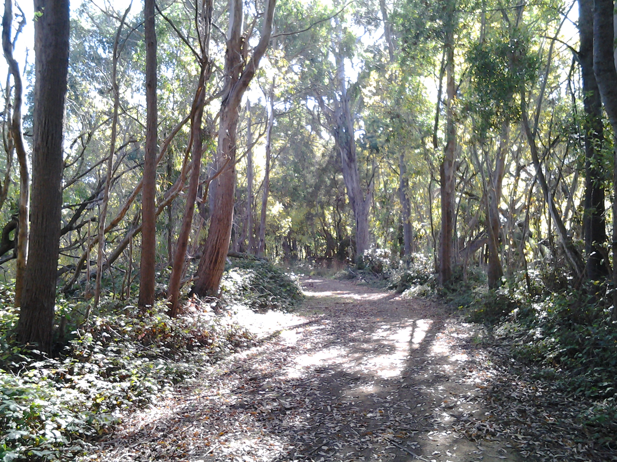
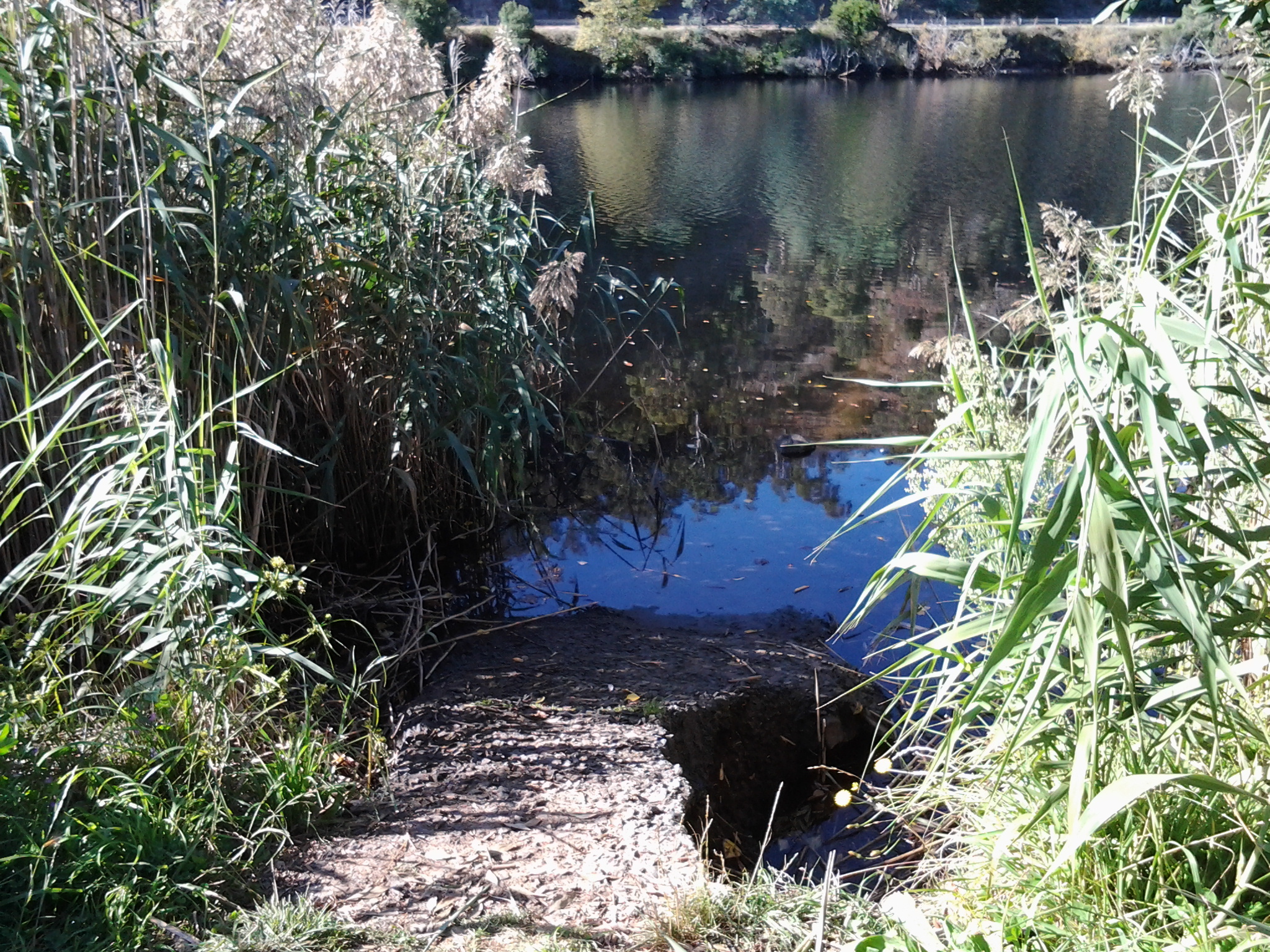
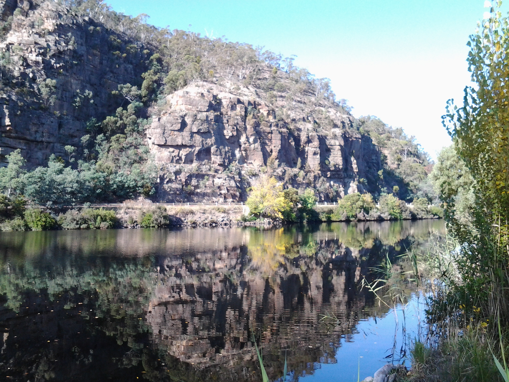
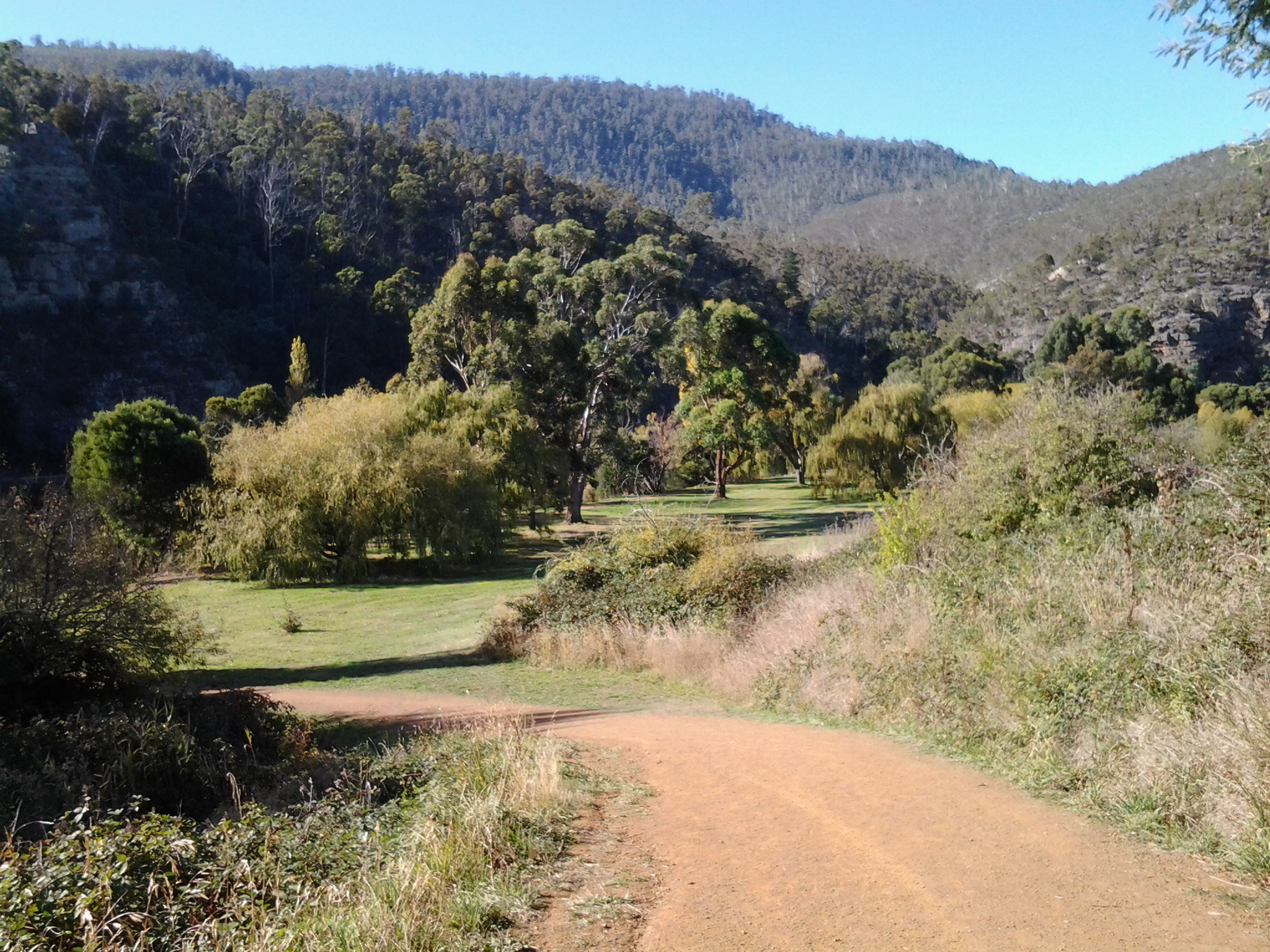
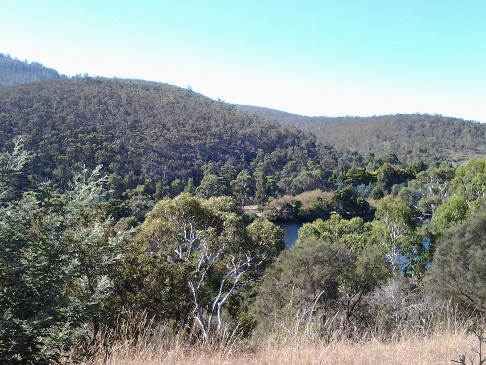
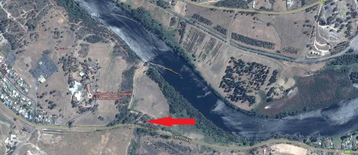
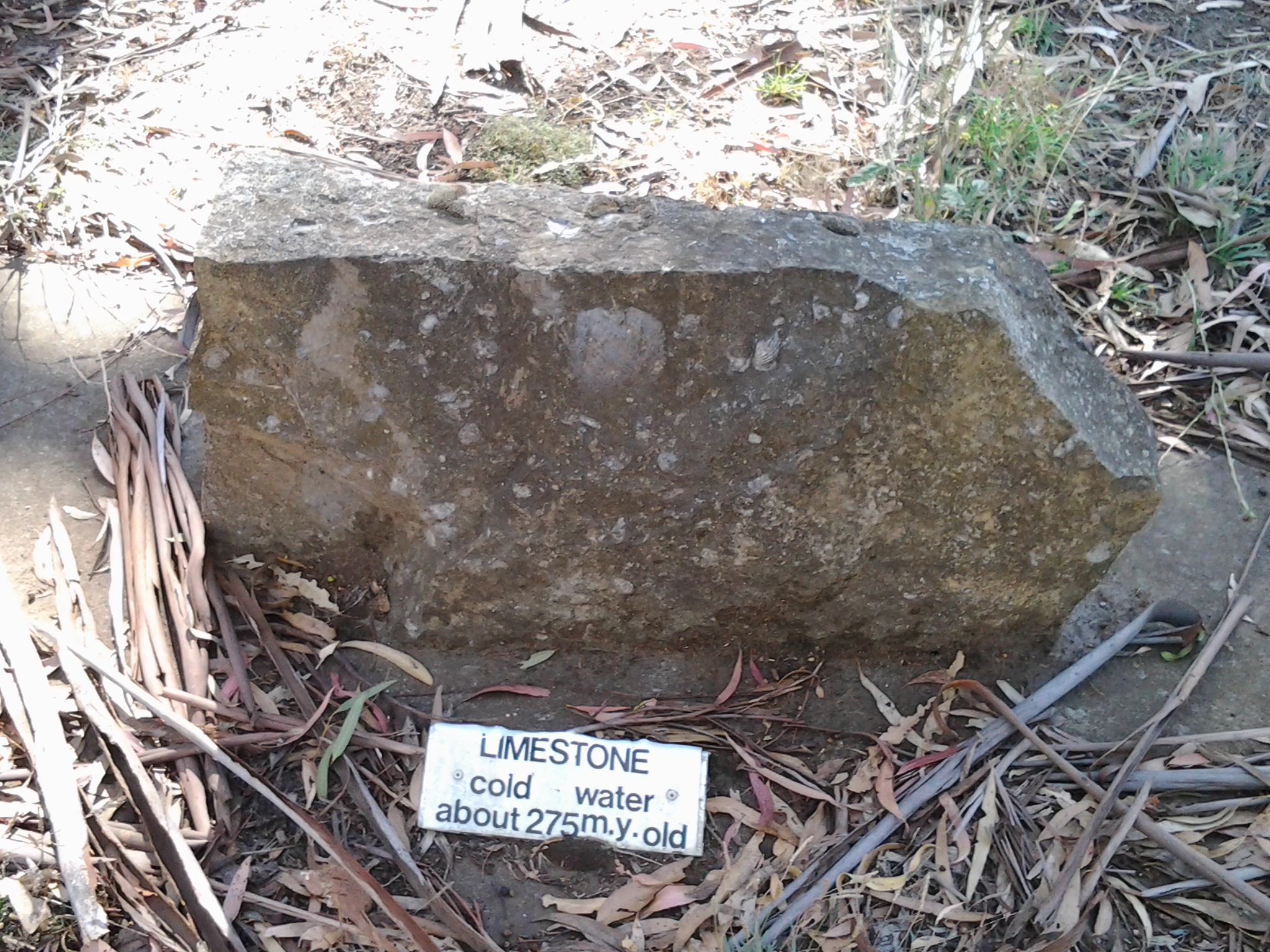
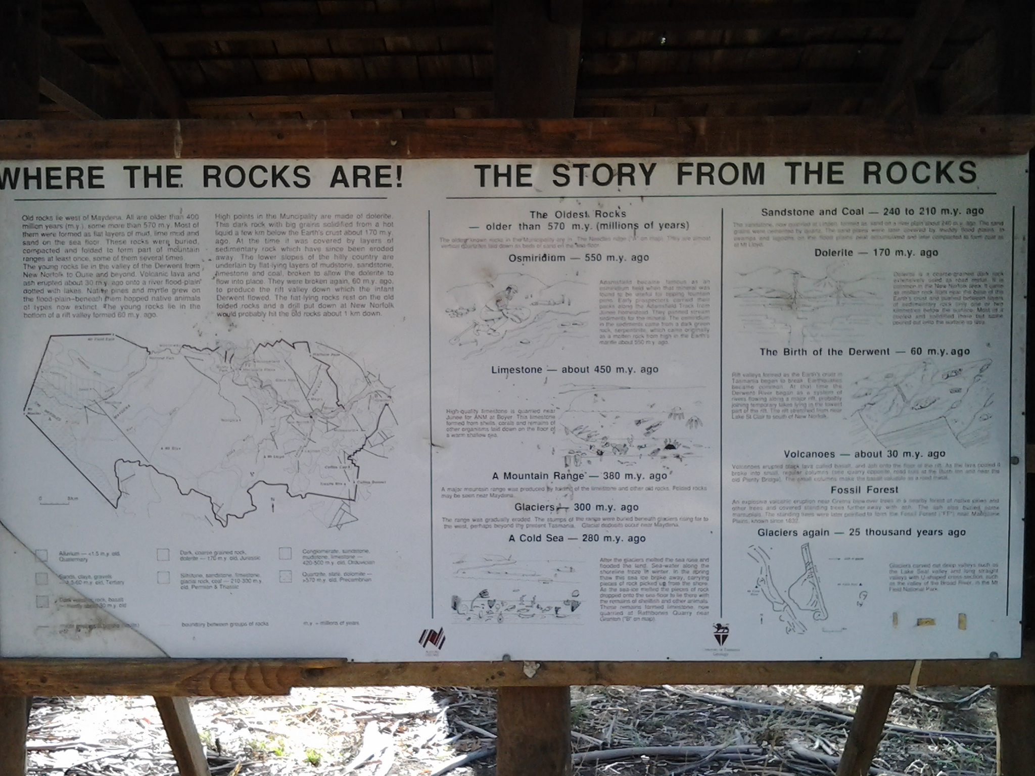
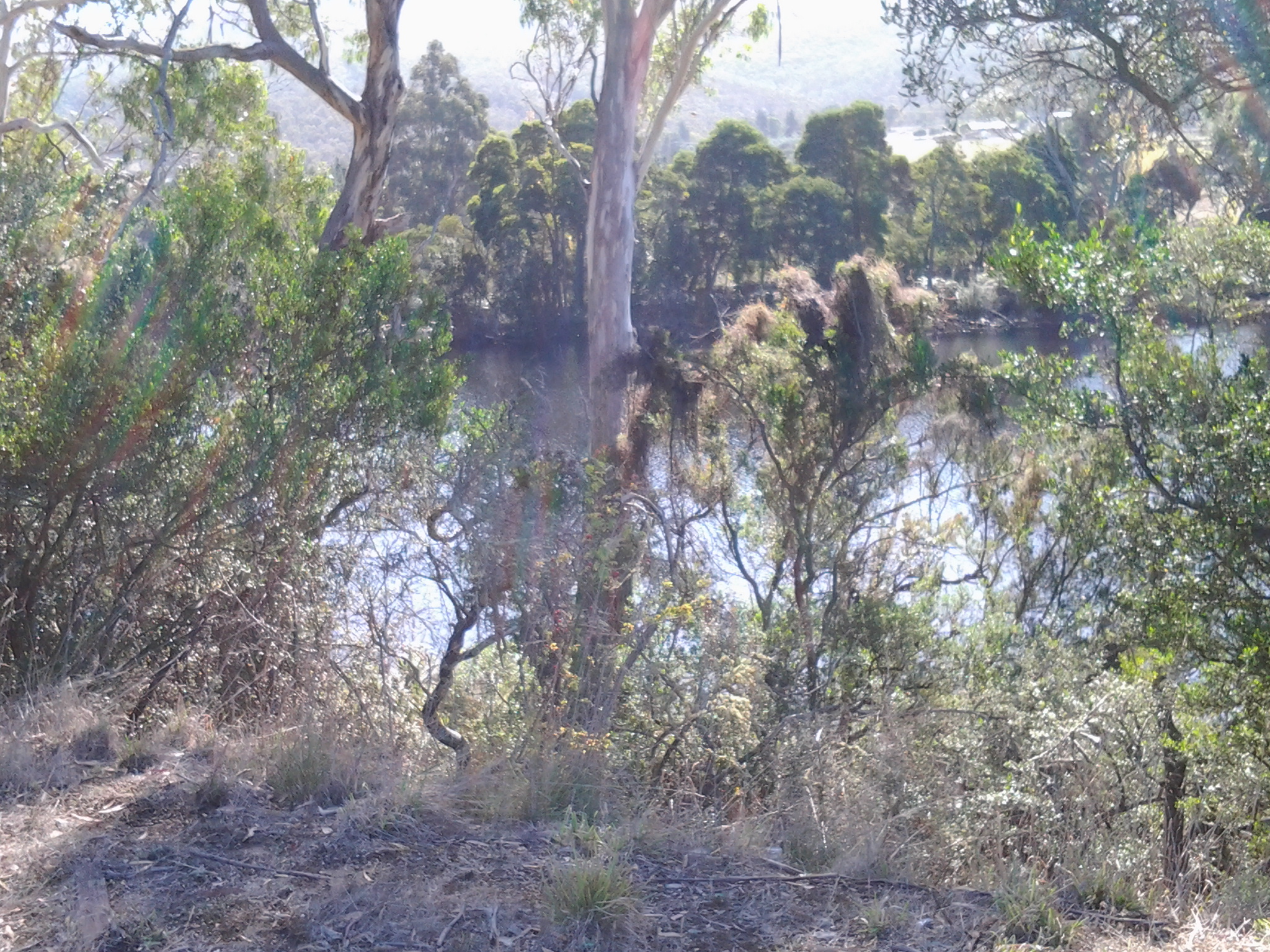
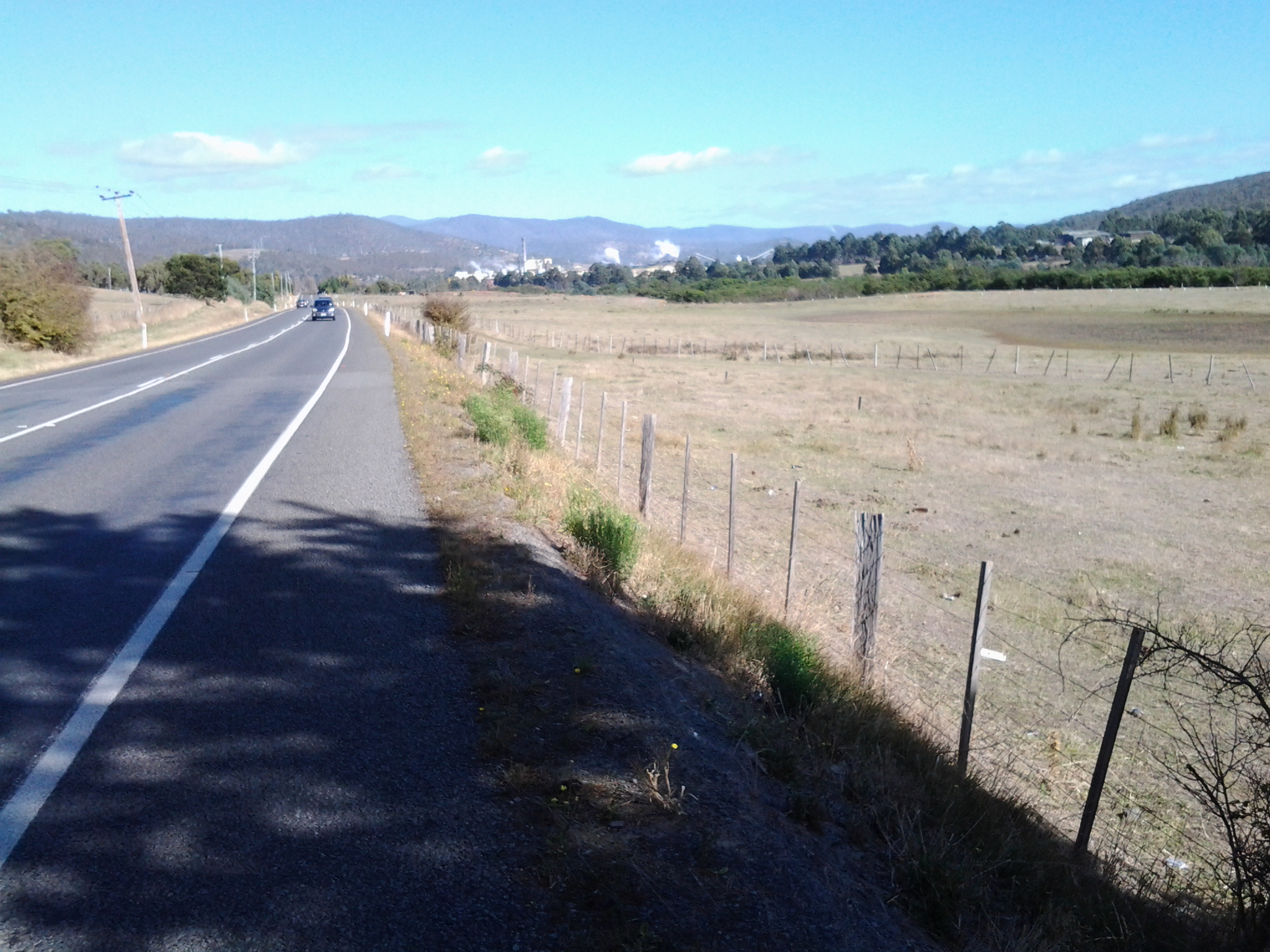
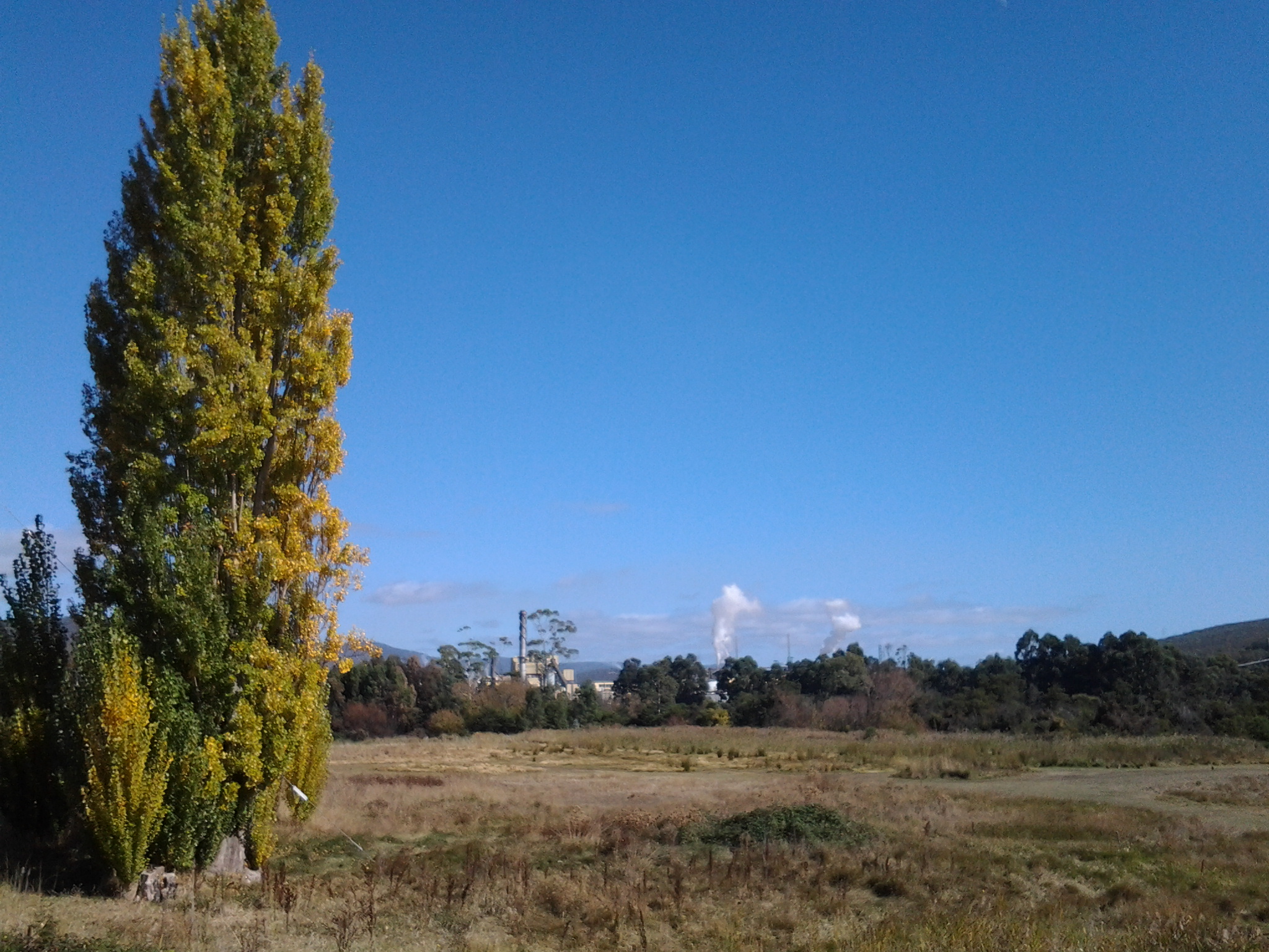
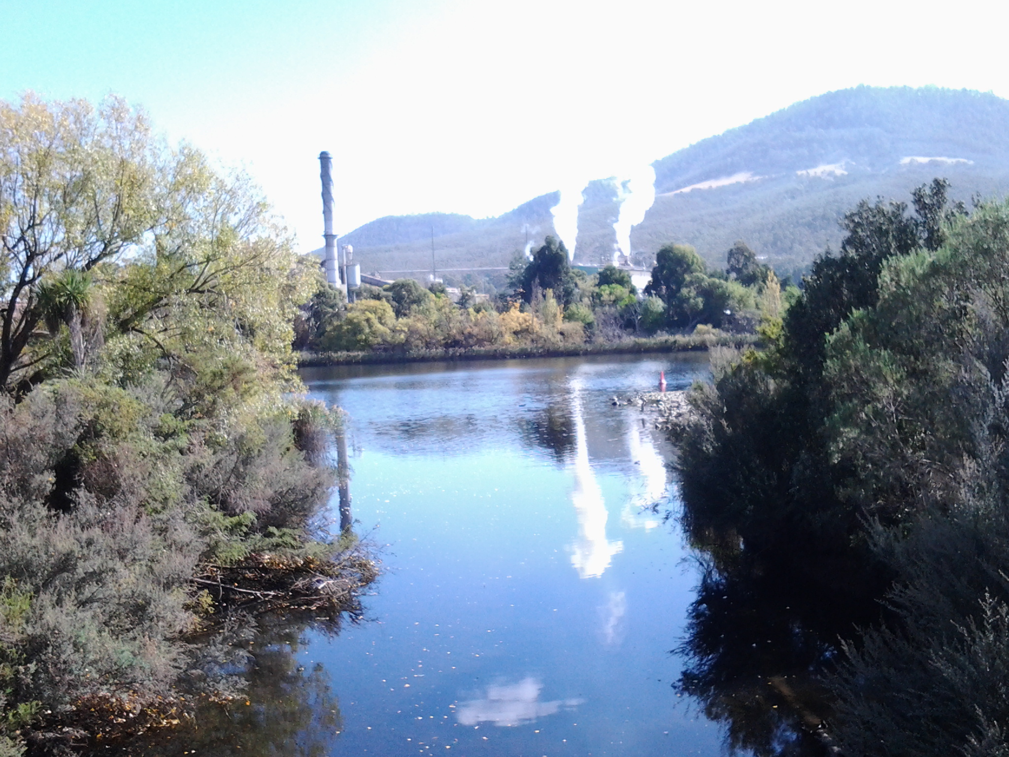
A few times during my Stage 14 walk I noticed a sign ‘Limited Access Road’ and sometimes another sign indicating the Roads and Jetties Act 1935. This was true, for example, in the Sorell Creek area as I walked to New Norfolk. I wondered if this was Tasmanian state legislation affecting land ownership to the edge of the Derwent River.  Blog followers will have read my annoyance at not being able to walk along the exact river edge from time to time, because private property occupies the space and this is often gated and fenced. On my return home from the Stage 14 walk, I delved deeply into various pieces of legislation and other sites. This is what I discovered.

At http://www.ifs.tas.gov.au/publications/river-access-angler-rights-and-responsibilities, I learned that angler rights and responsibilities were as follows: “All anglers have an important role in maintaining good relations between landowners and the angling community. Firstly, anglers should understand that access is a privilege not a right, and secondly, when in doubt, ask permission. In Tasmania, most private land titles extend to the bank of the river and some titles extend to the middle of the river. This can mean that you may be trespassing, which is a criminal offence, even if you are wading in the river.

Rivers also flow through public land such as Crown Reserves, State Forests, National Parks, Hydro property and Conservation Areas. Whilst public access is usually permitted, different entry conditions may apply depending on the management authority.

The Inland Fisheries Service has been working to develop access to angling waters with a focus on improving foot access to major river fisheries. Much of this has involved negotiating with landowners and establishing formal agreements regarding access for anglers. Access points are now clearly marked with signs at the access locations on seven major river fisheries around the State.

Apart from registered private fisheries, Tasmania’s fishery is public property – the fish are not the property of the landowner. However, the land that surrounds public water is subject to title and the rights of the landowner to control access to the river or lake is at their discretion. Anglers must ensure that they are on public land or that they have sought the permission of the landowner to access the river or lake they wish to fish.

The majority of lakes in Tasmania exist on Hydro Tasmania or reserve land (Crown, National Parks etc) and public access is generally permitted across the land to the lakes and around the lake shores. Hydro does control access to areas where there is infrastructure or there are safety issues with public access. These areas are generally signposted with appropriate warnings.

Rivers generally traverse a number of different land tenures along their length, which may be a combination of reserves and private land. Land title generally extends to the edge of the river, and occasionally to the middle of the river. Land tenure can be searched on the LIST Tasmanian Property Database (www.thelist.tas.gov.au). Another useful tool is the Tasmanian 1:25000 map series, available from Service Tasmania. These show river reserves where they exist and anglers are permitted to access these areas provided they do not have to cross private property to reach them. The most important principle is ‘Access is a privilege not a right – when in doubt ask permission’.”

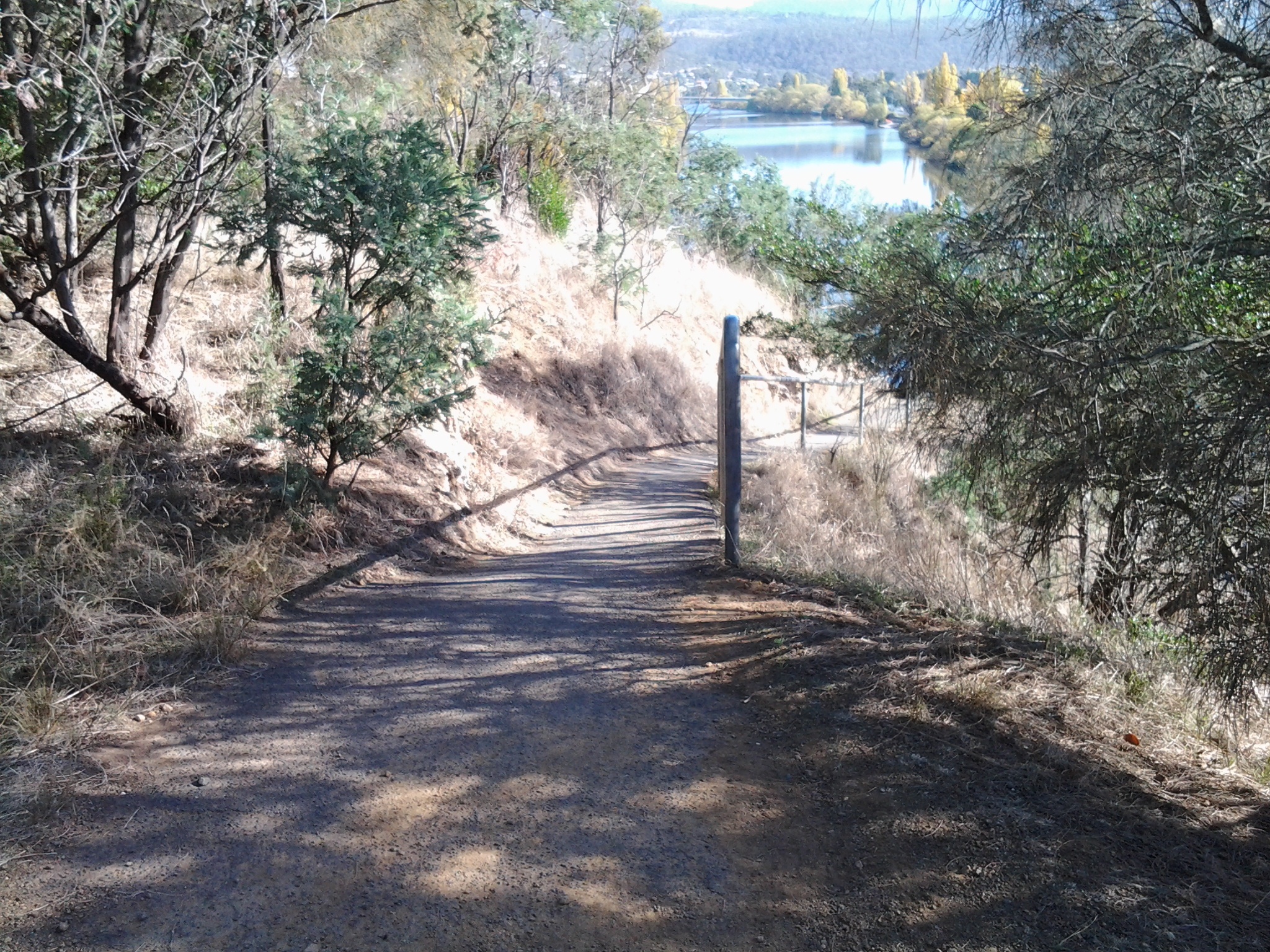
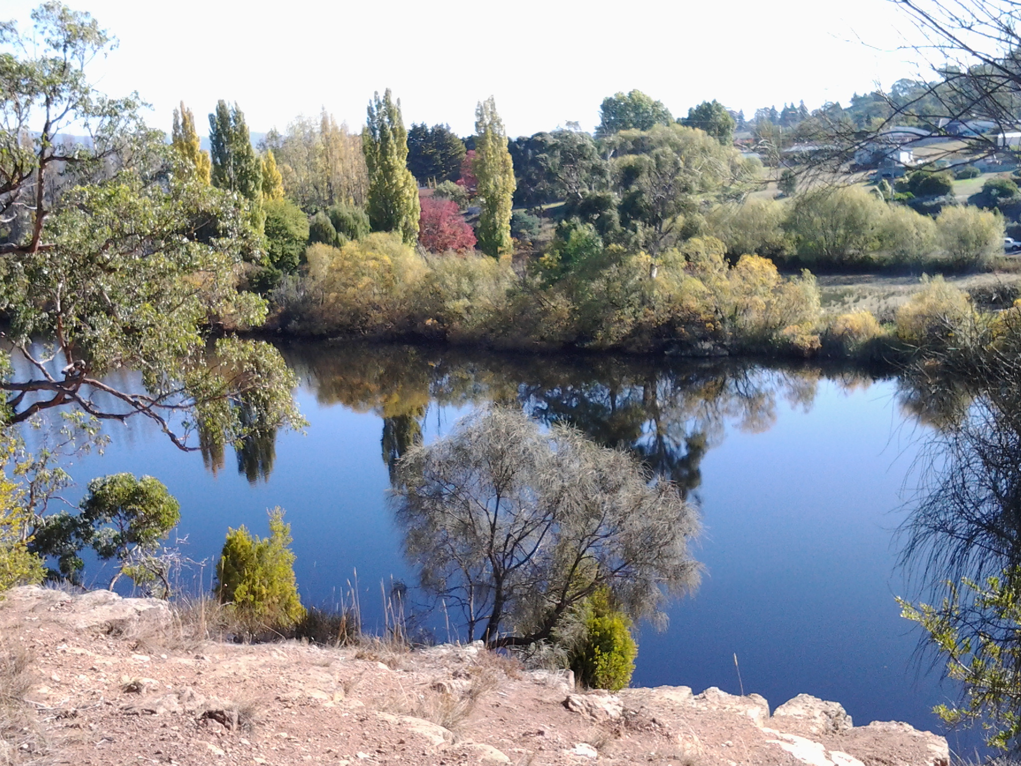
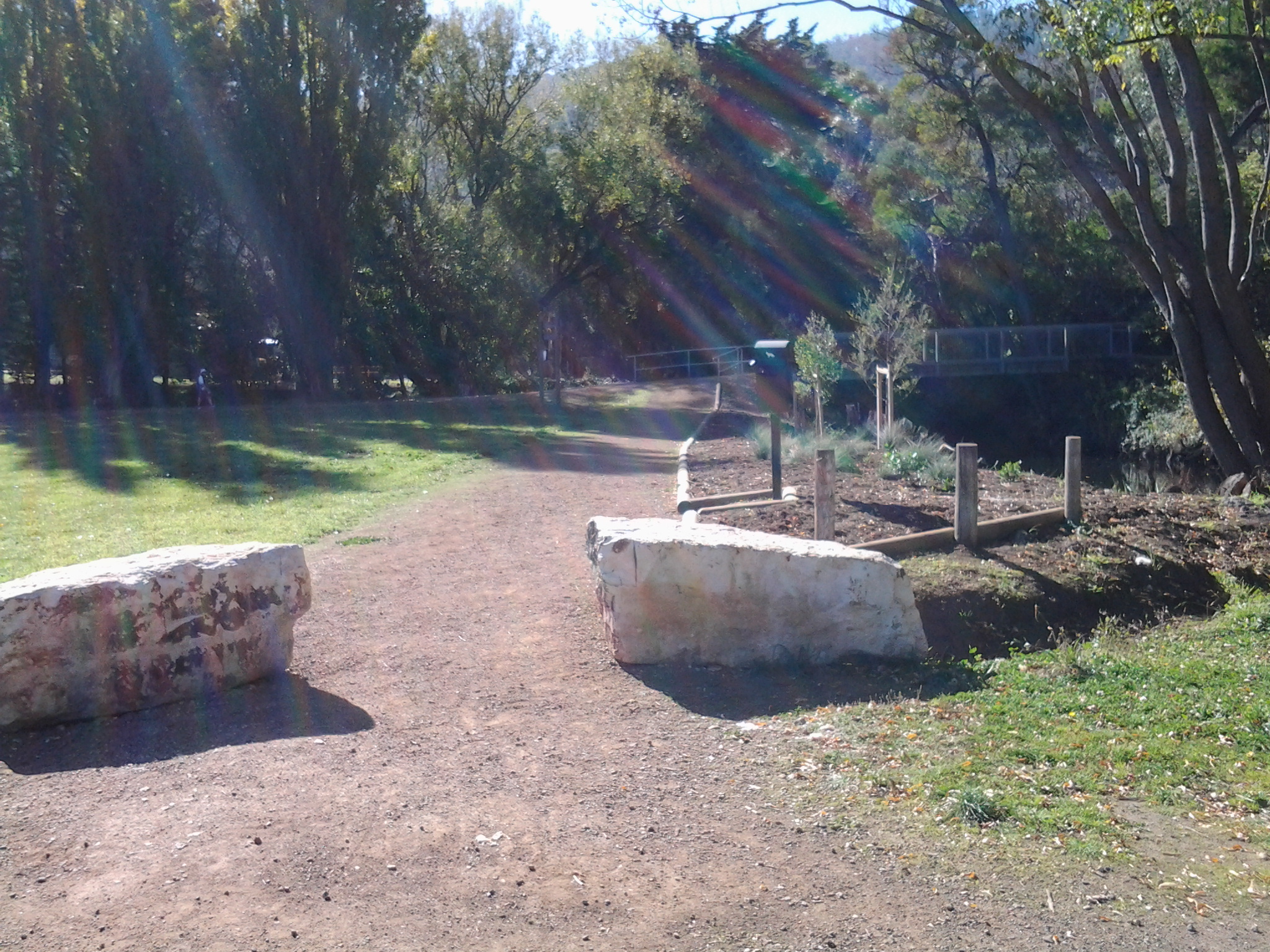
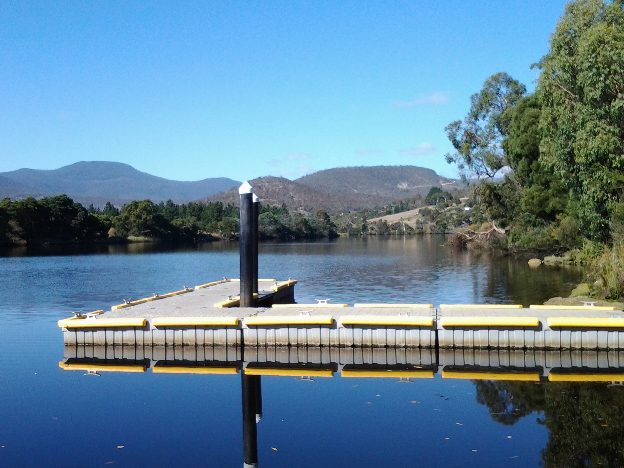
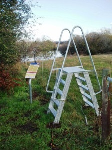
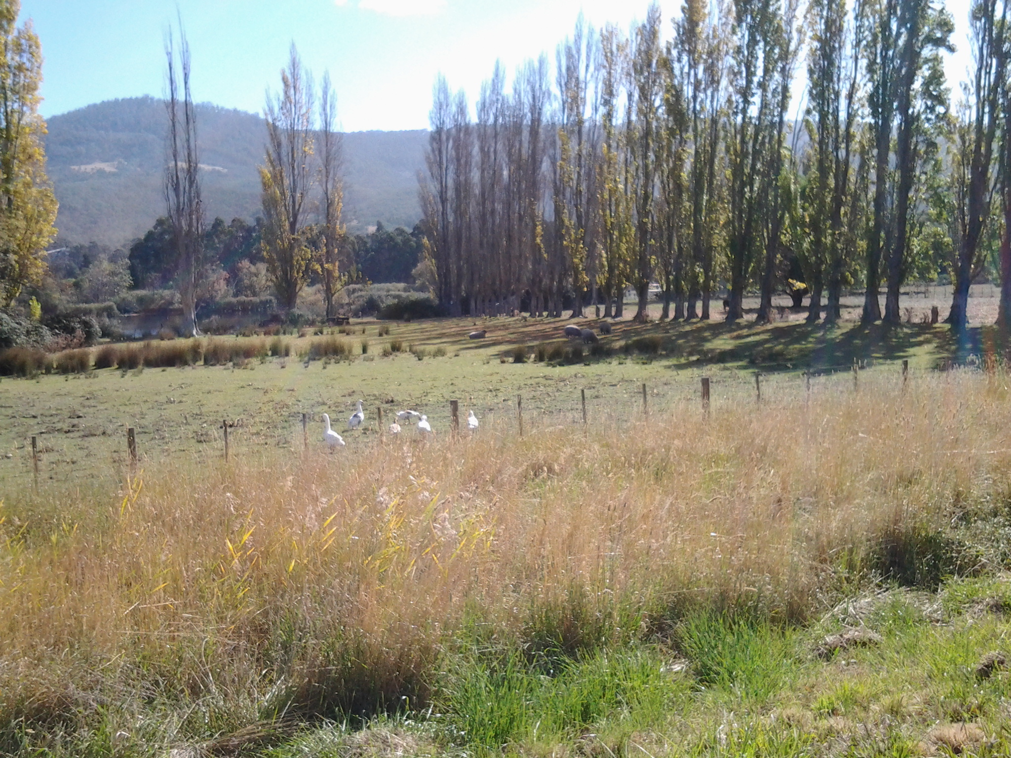
Stiles across fences have been installed for anglers and I saw a few of these during Stage 14 of my walk along the Derwent River.  These usefully provide access to sections but do not allow a continuous uninterrupted walk along the river’s edge.

 Stile jpeg

An 2007 article on the site http://www.exploroz.com/Forum/Topic/45914/Public_access_to_waterways_on_private_land.aspx

confirms this situation is similar across Australia, and it debunks some myths.

How does this get changed to allow easy public access to the river in Tasmania?  The permission must come from a State government minister under the Crowns Act 1976 (http://www.thelaw.tas.gov.au/tocview/index.w3p;cond=;doc_id=28%2B%2B1976%2BGS74%40EN%2B20131211000000;histon=;prompt=;rec=;term=). Clause 57 states: “Reservation of land abutting on streams. Where, in the opinion of the Minister, it is desirable to reserve Crown land –

(a) abutting on any permanent river, stream, or lake; or

(b) that is contiguous to the sea or an estuary –

he shall reserve, from any sale of that Crown land, land to the extent of at least 15 metres in width on each bank of the river, stream, lake, or the high-water mark of the sea or estuary.” I cannot imagine any government minister taking ‘rights’ away from current owners, so the chances of my lobbying successfully for a clear walking path next to the Derwent River are probably zero and zilch.

By the way, the interpretation clauses of the Roads and Jetties Act 1935 includes: a “country road means a road not being or forming portion of a State highway or subsidiary road, but does not include a street in any town”. I was reminded of an earlier post which tried to determine how a ‘back road’ might be defined.

Chatting with a traveller

On Stage 14 of my walk from Granton to New Norfolk by the Derwent  River, a car pulled off the road ahead of me at Sorell Creek. The female driver sat motionless. I plodded on and, as I walked past the car, she wound down her side window and asked for help.  A farmer from inland NSW, she and her daughter were staying temporarily in Maydena (http://www.discovertasmania.com.au/about/regions-of-tasmania/hobart-and-south/maydena), a small town on the way to Strathgordon in south western Tasmania – a town where our shy native platypus can be seen in the fast flowing Tyenna River, the waters of which eventually flow downstream to help keep the Derwent River level high.

While her husband worked that day, she decided to take a drive in the car and look around to see more of the country.

When we met, she wanted to find a route to the convict penitentiary at Port Arthur (http://www.portarthur.org.au) without needing to navigate busy Hobart city streets. Her only map was a small abbreviated tourist map of Tasmania that showed the main highways and a few towns. I dragged out some of my maps, and we chatted amiably while many options were considered.  Through these conversations I was clear that our road signage is designed for those who know where they are going, and not always for those who don’t know the terrain.

The thought of encouraging her to take the East Derwent Highway, come out near the Tasman Bridge and then need to cross three lanes of traffic immediately, filled me with dread.  When you are driving and unsure of where you are and how to get there, many signs and endless traffic can be disorienting.  I felt sure she would find herself in suburbia and never understand how to extract herself from there in order to be on her way to Port Arthur.

To take the Midlands Highway by crossing the Bridgewater Bridge, and travel towards Oatlands to find a cross country route, also seemed impractical.  Once off that highway, narrow winding roads lead eventually to Richmond but this would not help her easily to get onto a road leading to her destination, without much more direction asking of locals.

We settled on the option where she would continue along the Lyell Highway, drive along the Brooker Highway towards Hobart city, before taking the left hand exit to the Tasman Bridge near Hobart, and then driving across the Bridge.  I hope the blue airport symbol was posted liberally during that journey.  If she followed that symbol, then once at the final roundabout to the airport she knew to drive straight on.  We didn’t exchange contact details so I continue to wonder if she found Port Arthur without getting lost and without losing time.

At 12.15pm we parted company. I was glad to have had someone to talk with. Besides, she had been considering walking (http://www.bicentennialnationaltrail.com.au/) from the north to the south through Australia (a mere 5330kms from Cooktown in far northern Queensland to Healesville slightly east of Melbourne, Victoria).  I wish her all the best.

A tribute to the Australian men and women who fought in overseas wars hoping for a safer Australia

Today is a powerfully important day in Australia’s psyche. It is ANZAC Day; a day of remembrance and commemoration. In particular, this year’s ANZAC day represents 100 years since our defence forces arrived on the beaches at Gallipoli, Turkey near the beginning of World War 1. In 1914, an officer created the acronym ANZAC to register the coming together of two sets of national troops: the AUSTRALIAN and NEW ZEALAND ARMY CORPS. From then on and because of the actions of those men and women during the first World War, ANZAC has come to mean mateship and extraordinary personal and team efforts in the face of seemingly insurmountable odds. We talk about the ANZAC spirit.

From dawn services, to town and city parades, to commemoration services at cenotaphs, today Australians will watch, march, place floral wreaths or otherwise be involved. We will remember those who have lost their lives, been injured or otherwise involved not only in World War 1 but also in all other arenas of war where Australians have travelled to help out another country.

From the beginning of last century, most towns built cenotaphs or other memorials in prominent places. This blog, during the walk along the Derwent River, has shown photos of structures built for such commemoration purposes. It seems appropriate to reshow a selection.

On Stage 1 when walking near the mouth of the river on the eastern shore, I found the Lone Pine memorial standing proudly.  Today, ex-servicemen will gather there to remember the sacrifices of those who stormed the beaches at Gallipoli and went on to battle it out at Lone Pine. ‘Lest we forget’.

20140822_094232

The South Arm cenotaph.

20140822_112319

The Memorial Reserve at Bridgewater

20141111_131258

The Australian Tracker and War Dogs Memorial at Lowestoft Bay

20141125_150425

The Hobart City cenotaph on the Domain

20150109_161810

One war memorial, which I am yet to see, is located at Gretna a small rural town located inland from New Norfolk. The Gretna war memorial was built after World War I and sits on a hill overlooking the Derwent River. The spectacular photo below is by Lex Prebski and was taken from http://www.abc.net.au/news/2015-04-22/11-unsung-war-memorials-to-see-in-tasmania-this-anzac-weekend/6401618

Lex Prebski photo of Gretna war memorial

It is interesting that the two most special days on the Australian calender have an element of doing wrong to others: Australia Day on the 26 January celebrates settlement of Australia by foreigners and the displacement of the local indigenous peoples; and Anzac Day on 25 April commemorates the death and activity of thousands of Australian men and women fighting other nationals in wars outside Australia not of our making. The positive sides of these two days are equally clear to me: Australia Day is the chance for everyone who lives in  Australia to enjoy the fact we have a safe and friendly country; Anzac Day offers the chance to value people who had in the past or have currently, a belief and act on it hoping to make the world a safer place for everyone.

Paper making mill on the Derwent River

The tiny settlement of Sorell Creek has a perfect view of the Norske Skog newsprint manufacturing mill across the Derwent River at Boyer.  The business website is located at http://www.norskeskog.com/Business-units/Australasia/Norske-Skog-Boyer.aspx

Since the 1940s this mill, along with others dotted around the state, has been a mainstay of the Tasmania’s economy.  Tasmania has been a land of old growth forests which, since European settlement, have gradually been reduced for farming, town and city growth and for the establishment of newer plantation forests.  Norske Skog only uses the wood from plantation forests and in this way protects the remaining ‘original’ forests and wilderness of Tasmania.

You can read more about the history of this plant at http://www.vantagepaper.com.au/BoyerHistory.aspx.

During the Stage 14 walk, I approached the mill during the latter part of the morning until I stood looking across the Derwent River at it. From then on, the mill gradually disappeared from view as I wound around walking paths along the curving Derwent River.

20150413_100955 20150413_105904

20150413_111318 20150413_113308

20150413_113439 20150413_113501

20150413_113710 20150413_122840

Along the way, I passed many more spectacular poplar trees with their golden leaves.

20150413_113530

Sorell Creek sign post: Stage 14 of walk along the Derwent River

Around 11.35 am, directional signs at the Sorell Creek T junction with the Lyell Highway gave me useful information for me to gauge the distance I had walked from Granton and what was left to cover if I continued ‘straight’ to New Norfolk. As I crossed the actual creek flowing with a lot of water, I was made aware by a slightly mangled small blue sign, of a cemetery to my left; usually old cemeteries contain interesting stories but visiting it seemed like a deviation which would take me too far from the Derwent River so I continued on the Highway making a mental note to return another day to have a look at the Malbina cemetery.

20150413_113731

The main signs indicated New Norfolk was a mere 5 kilometres further north, if I stayed walking on the Highway – but I expected to be finding tracks off the highway taking me closer to river in the next half an hour.

20150413_113824

and the golden view when looking back south was also worth a photo.

20150413_113845

I wondered how many people commuted to New Norfolk daily by foot.  Probably zero numbers.

Time for a morning tea break on Stage 14 of my walk along the Derwent River

At 11.20 am, having been walking from Granton towards New Norfolk since a little before 8am,  the Sorell Creek area seemed a pleasant place to stop and take a break. The town is too small to have a shop so, as usual, I dug into my backpack for some prepared food to nibble.  I rested on a grassy bank near the road verge with my back to the Lyell Highway and surveyed the low paddocks with resting watchful cows, munching sheep and wandering geese.  Their backdrop were golden poplar trees with leaves dropping and blowing in the occasional breeze, and a strip of glassy dark blue Derwent River streamed behind. The crows were cawing. Traffic roaring. But the sun sparkled on everything I could see. The vista and experience seemed quite magically unreal.

20150413_113315