Tag Archives: landowners

Walking between Gretna and Lake Repulse Dam – 1 of 3

I no longer believe that walking the Derwent River from the mouth to the source is possible as a normal public option. The reasons why others should not follow in my footsteps and expect to walk the length of the River include:

  1. Private landowners will not grant access permission to cross their land for a range of very sound reasons.
  2. There are no public pathways, roads or tracks near most of the River.
  3. Fences and gates make forward progress difficult or impossible.

Let me explain by focusing on the situation in one inland section.

The Derwent River winds around mostly cleared hills between Gretna and Lake Repulse Dam, and on two occasions its travel is impeded:  by the Meadowbank and Cluny Dams. The Derwent between these two locations measures approximately 52 kms.

As a result of privileged access and after a series of recent walks, I have covered the majority of these kilometres, sometimes walking on one side of the River and sometimes on the other.  I expect to finish this section by filling in the few small ‘gaps’ in the near future.  Once the 52 kms are completed then I will add the details into my blog under USEFUL ADDITIONAL INFORMATION. Weather (not snowing, raining, excessively windy or hot – I’m not fussy!) and the availability of chauffeurs will influence when and where I walk in the future.

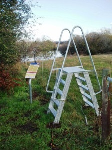
Some of the many landowners along the way have granted me permission to walk on their land with the proviso that specific details which allow identification of them and their properties will not be provided.  I understand the reasons for their positions and will not share the information. Unfortunately, so many of my glorious panoramic photos of the Derwent River feature rapids or other indicators such as hills, dramatic cliffs and distant properties which show the side of the River on which I walked. As such, these would help locate the properties on which I walked.  Therefore, for the first time, I am disappointed to include only a couple of River shots in my blog posts.

20151128_155033

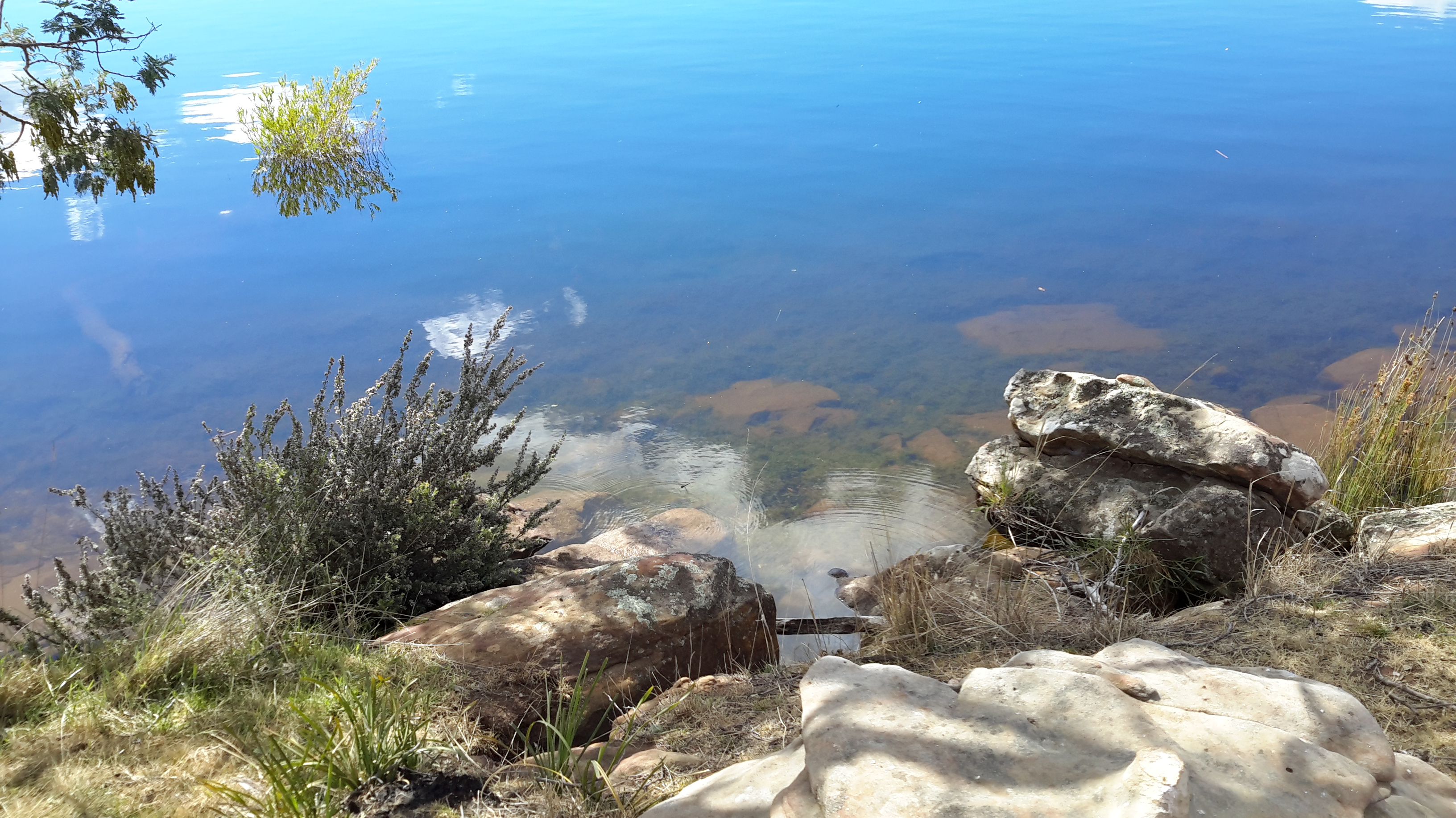
Many blog followers have enjoyed the details of what I see and experience in each walk.  Without providing identifying information, I will do my best to present some of the ‘flavour’ of the River between Gretna and Lake Repulse Dam in the next couple of blog posts.

Thanks to blog follower Jeanette, I was chauffeured to some starting points and collected from destinations in the section between Gretna and Lake Repulse Dam.  In addition, she walked with me on one occasion. At the time we tried out hand-me-down walking poles (my doctor says they will support my knees) but since they were no longer collapsible, we soon discarded them.  For blog followers wondering how my knees are holding up – very well, thank you.  Now that I wrap and support them, walking has become so much easier.

Limited access roads, and limited direct access to the river from the land: Stage 14 of my walk along the Derwent River

A few times during my Stage 14 walk I noticed a sign ‘Limited Access Road’ and sometimes another sign indicating the Roads and Jetties Act 1935. This was true, for example, in the Sorell Creek area as I walked to New Norfolk. I wondered if this was Tasmanian state legislation affecting land ownership to the edge of the Derwent River.  Blog followers will have read my annoyance at not being able to walk along the exact river edge from time to time, because private property occupies the space and this is often gated and fenced. On my return home from the Stage 14 walk, I delved deeply into various pieces of legislation and other sites. This is what I discovered.

At http://www.ifs.tas.gov.au/publications/river-access-angler-rights-and-responsibilities, I learned that angler rights and responsibilities were as follows: “All anglers have an important role in maintaining good relations between landowners and the angling community. Firstly, anglers should understand that access is a privilege not a right, and secondly, when in doubt, ask permission. In Tasmania, most private land titles extend to the bank of the river and some titles extend to the middle of the river. This can mean that you may be trespassing, which is a criminal offence, even if you are wading in the river.

Rivers also flow through public land such as Crown Reserves, State Forests, National Parks, Hydro property and Conservation Areas. Whilst public access is usually permitted, different entry conditions may apply depending on the management authority.

The Inland Fisheries Service has been working to develop access to angling waters with a focus on improving foot access to major river fisheries. Much of this has involved negotiating with landowners and establishing formal agreements regarding access for anglers. Access points are now clearly marked with signs at the access locations on seven major river fisheries around the State.

Apart from registered private fisheries, Tasmania’s fishery is public property – the fish are not the property of the landowner. However, the land that surrounds public water is subject to title and the rights of the landowner to control access to the river or lake is at their discretion. Anglers must ensure that they are on public land or that they have sought the permission of the landowner to access the river or lake they wish to fish.

The majority of lakes in Tasmania exist on Hydro Tasmania or reserve land (Crown, National Parks etc) and public access is generally permitted across the land to the lakes and around the lake shores. Hydro does control access to areas where there is infrastructure or there are safety issues with public access. These areas are generally signposted with appropriate warnings.

Rivers generally traverse a number of different land tenures along their length, which may be a combination of reserves and private land. Land title generally extends to the edge of the river, and occasionally to the middle of the river. Land tenure can be searched on the LIST Tasmanian Property Database (www.thelist.tas.gov.au). Another useful tool is the Tasmanian 1:25000 map series, available from Service Tasmania. These show river reserves where they exist and anglers are permitted to access these areas provided they do not have to cross private property to reach them. The most important principle is ‘Access is a privilege not a right – when in doubt ask permission’.”

Stiles across fences have been installed for anglers and I saw a few of these during Stage 14 of my walk along the Derwent River.  These usefully provide access to sections but do not allow a continuous uninterrupted walk along the river’s edge.

 Stile jpeg

An 2007 article on the site http://www.exploroz.com/Forum/Topic/45914/Public_access_to_waterways_on_private_land.aspx

confirms this situation is similar across Australia, and it debunks some myths.

How does this get changed to allow easy public access to the river in Tasmania?  The permission must come from a State government minister under the Crowns Act 1976 (http://www.thelaw.tas.gov.au/tocview/index.w3p;cond=;doc_id=28%2B%2B1976%2BGS74%40EN%2B20131211000000;histon=;prompt=;rec=;term=). Clause 57 states: “Reservation of land abutting on streams. Where, in the opinion of the Minister, it is desirable to reserve Crown land –

(a) abutting on any permanent river, stream, or lake; or

(b) that is contiguous to the sea or an estuary –

he shall reserve, from any sale of that Crown land, land to the extent of at least 15 metres in width on each bank of the river, stream, lake, or the high-water mark of the sea or estuary.” I cannot imagine any government minister taking ‘rights’ away from current owners, so the chances of my lobbying successfully for a clear walking path next to the Derwent River are probably zero and zilch.

By the way, the interpretation clauses of the Roads and Jetties Act 1935 includes: a “country road means a road not being or forming portion of a State highway or subsidiary road, but does not include a street in any town”. I was reminded of an earlier post which tried to determine how a ‘back road’ might be defined.