Tag Archives: Derwent River

Fossil Cove posting 4 of 4

I relaxed with the sounds of the wash of the water onto the shore.

20160331_113205

20160331_113312.jpg

20160331_113314.jpg

20160331_113300.jpg

20160331_113317.jpg

After one last look around this deserted Cove and across the glorious Derwent Harbour, I turned toward the path and walked back uphill. Slowly.  Very slowly.  I swear the incline on that hill had steepened. I found each blade of grass and each leaf on the path infinitely interesting and worthy of stopping for closer inspection. Often.

For blog readers who live in Hobart, give yourself a treat, take a picnic with you and enjoy a visit to this wonderful Cove.

Fossil Cove posting 3 of 4


I delighted in the multitude of fossils everywhere around Fossil Cove.

20160331_112102.jpg

And seeing the blue shells of tiny new mussels clustering in rock crevices, and the deep purple shells of sea urchins cast up on the rocky beach, reminded me of the way water continues to bring life to our shores.

20160331_113359.jpg

20160331_111307.jpg

Most particularly I loved the water views.  The Derwent River presented a stunning vista during my visit.

20160331_112108cropped.JPG

20160331_113049.jpg

20160331_113052.jpg

20160331_113229cropped3.JPG

20160331_113348.jpg


14/2/17

Fossil Cove posting 2 of 4

I admired the rock formations around Fossil Cove and wished I had walked with a geological expert.

20160331_111128.jpg

20160331_111148.jpg

20160331_113631.jpg

The rock formation in the photos below could variously be described as a ‘hole in the wall’ or an arch.

20160331_111225.jpg

20160331_111447.jpg

20160331_111459.jpg

I just had to explore what was through that ‘hole in the wall’.

20160331_113205.jpg

20160331_113133.jpg

20160331_111455.jpg

20160331_112940.jpg

20160331_112944.jpg

20160331_113150.jpg

Seeing these photos again reminds me that the day of my visit to Fossil Cove was so gloriously sunny, that the sea and the sky were shades of heavenly blue, and that the gentle on shore breeze was so soft and pleasant. So many mainland Australians who have never visited Tasmania have the idea this is a cold miserable place, so I am glad that my experiences walking the Derwent have been able to show this is a wonderfully beautiful place.  And it is a place very much worth a visit (or even a relocation to live here!).


13/2/17

Fossil Cove posting 1 of 4

On the day when I walked from Blackman’s Bay to Point Pearson near Tinderbox, then retraced my steps to catch a return bus from Blackman’s Bay, I omitted to walk via Fossil Cove. The pathway to this secluded rock strewn cove required a detour of over 2 kilometres. Since my day’s walk to the mouth of the Derwent River on the western shore and return was expected to be over 20 kms, I resolved at the time to return on another occasion to walk this section.

I was delighted when I finally ‘discovered’ what locals and others have known for a long while.

A couple of kilometres along Tinderbox Road after leaving suburban Blackmans Bay, Fossil Cove Drive is clearly marked.  Around a kilometre down that road, a sign indicates the way to the beach.

20160331_105431.jpg

A further sign declares this area to be a public reserve and a site of national geological significance.

20160331_105508.jpg

The steep descent to the Cove was controlled by steps and dirt pathways.

20160331_110054.jpg

20160331_110749.jpg

20160331_110806.jpg

I was dazzled by views across to Opossum Bay and Gellibrand Point on the eastern shore of the Derwent River.

20160331_110828.jpg

Finally I arrived at sea/river level.

20160331_111141.jpg

20160331_111137.jpg


‘What’s in a name? A fair bit , actually’ says Rex Gardner

On page 14 of The Mercury newspaper on 5th February Rex Gardner asked ‘What’s in a name?  A fair bit , actually’ about a part of my favourite Tasmanian river.

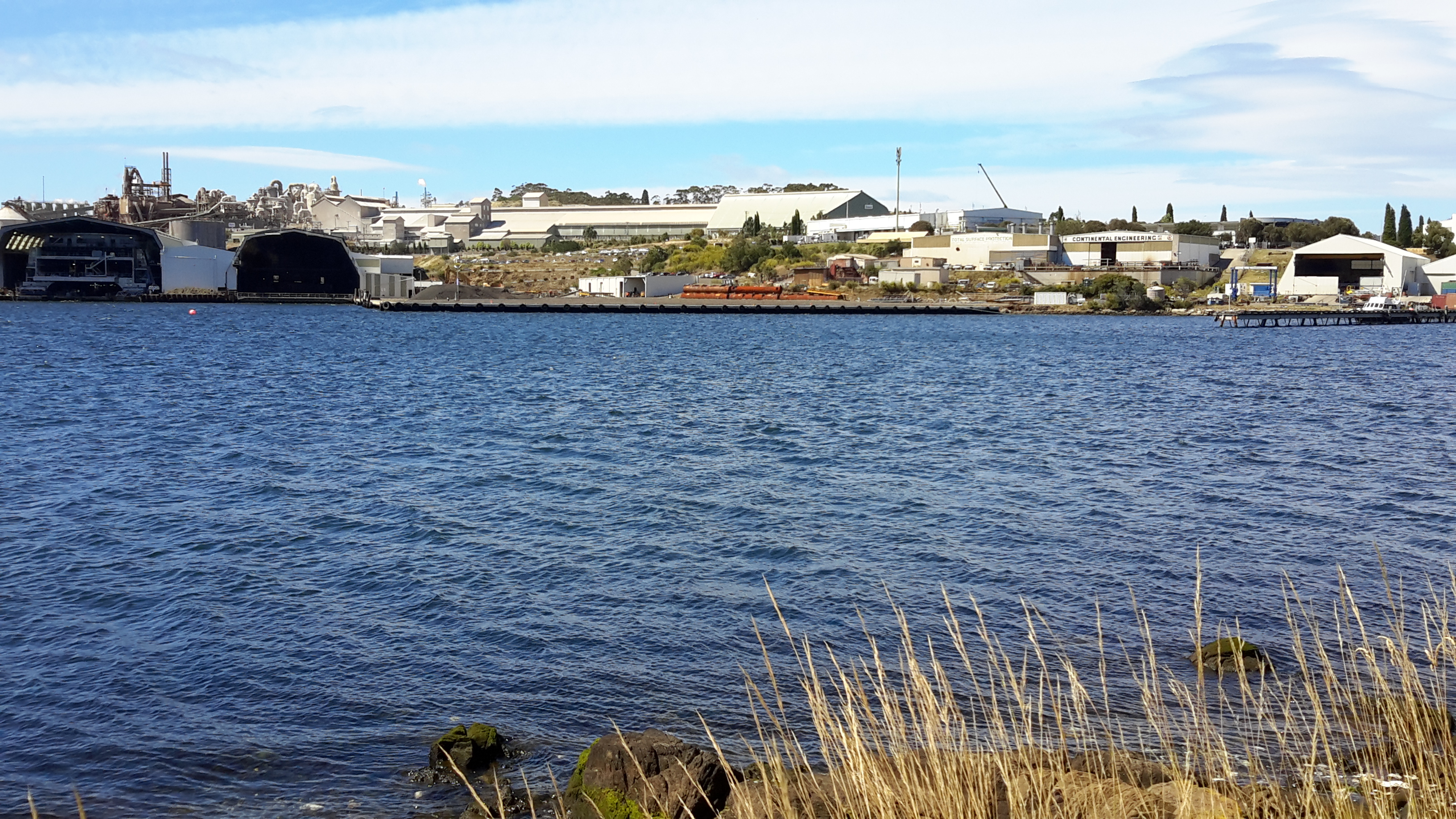
He talked about the area near the Hobart docks and further out into the harbour and remarked that it ‘really doesn’t have a proper name’.

Rex commented: ‘We call it the River Derwent, or Derwent River. But that name aptly describes the Derwent around New Norfolk, and upriver from there, because a river is a naturally flowing fresh watercourse, flowing towards the sea.  Heading downstream towards Bridgewater, the Derwent becomes an estuary, defined as brackish water fed by streams and rivers, and flowing to the sea.’

When Rex added ‘What flows through the city of Hobart is not a river’, I gasped.  Over time, my blog has addressed the challenges of defining where the Derwent River starts and stops.

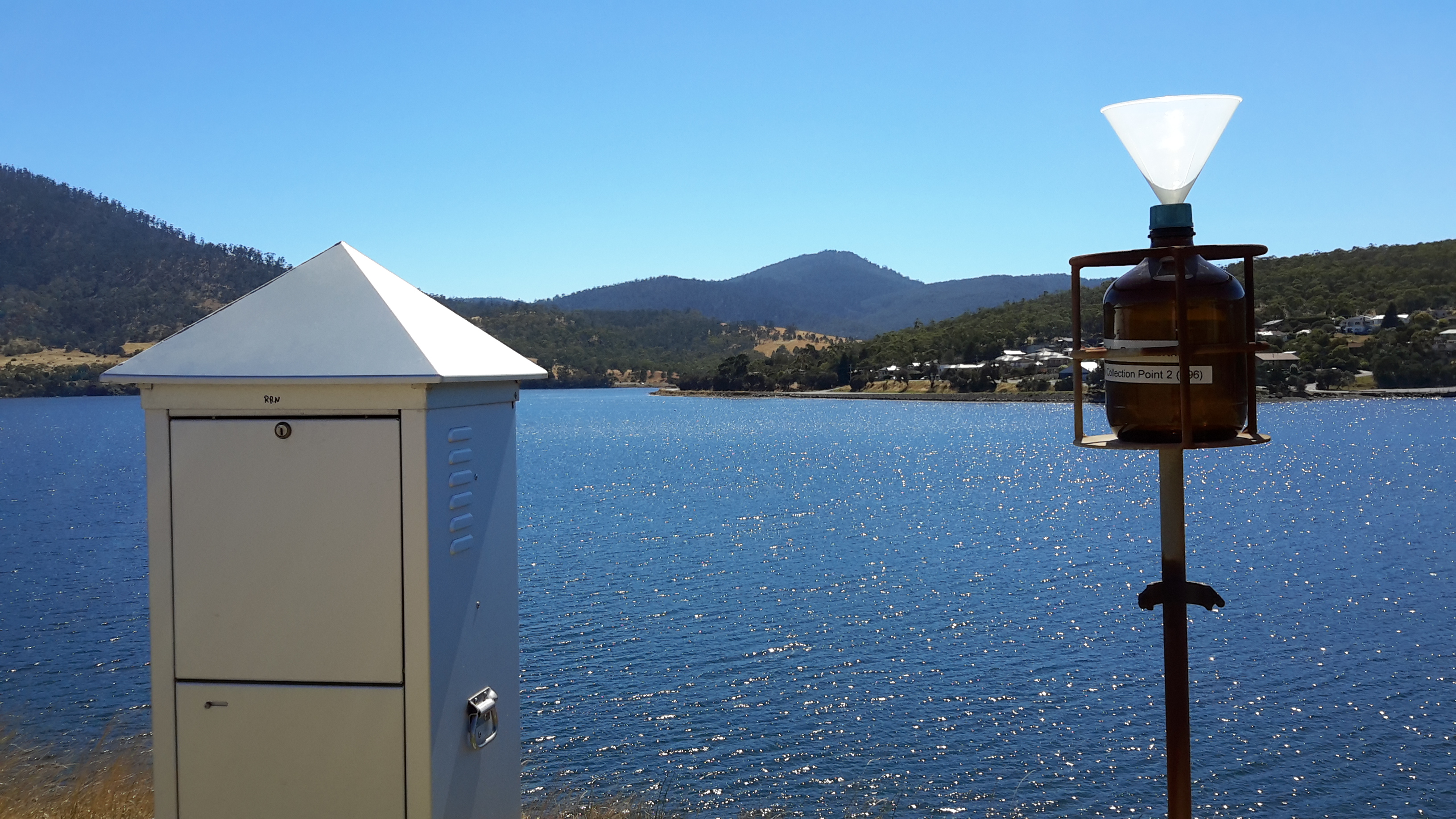
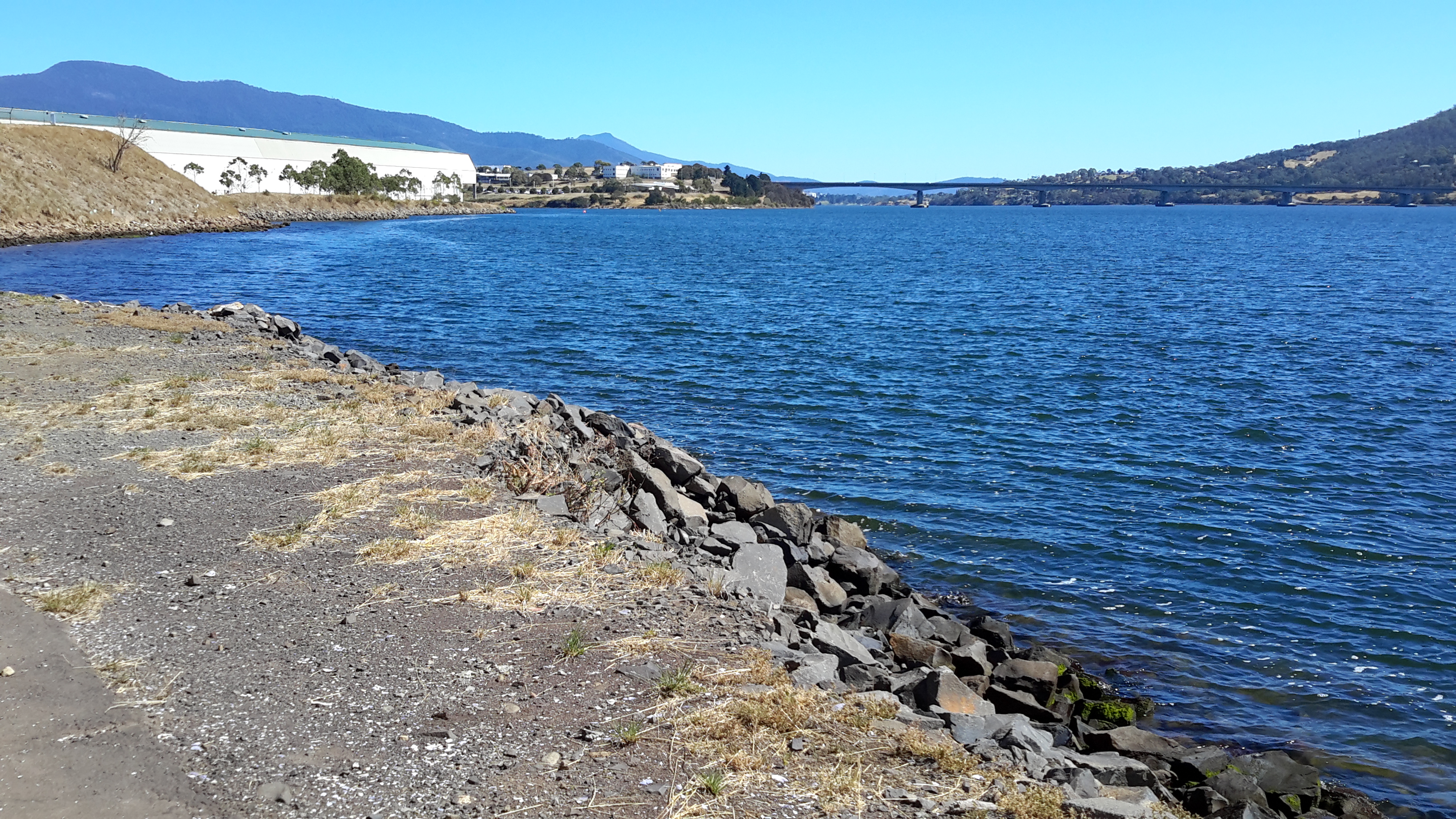
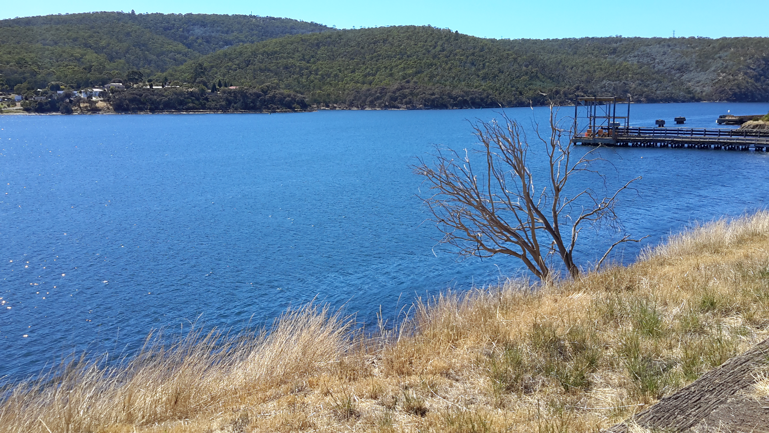
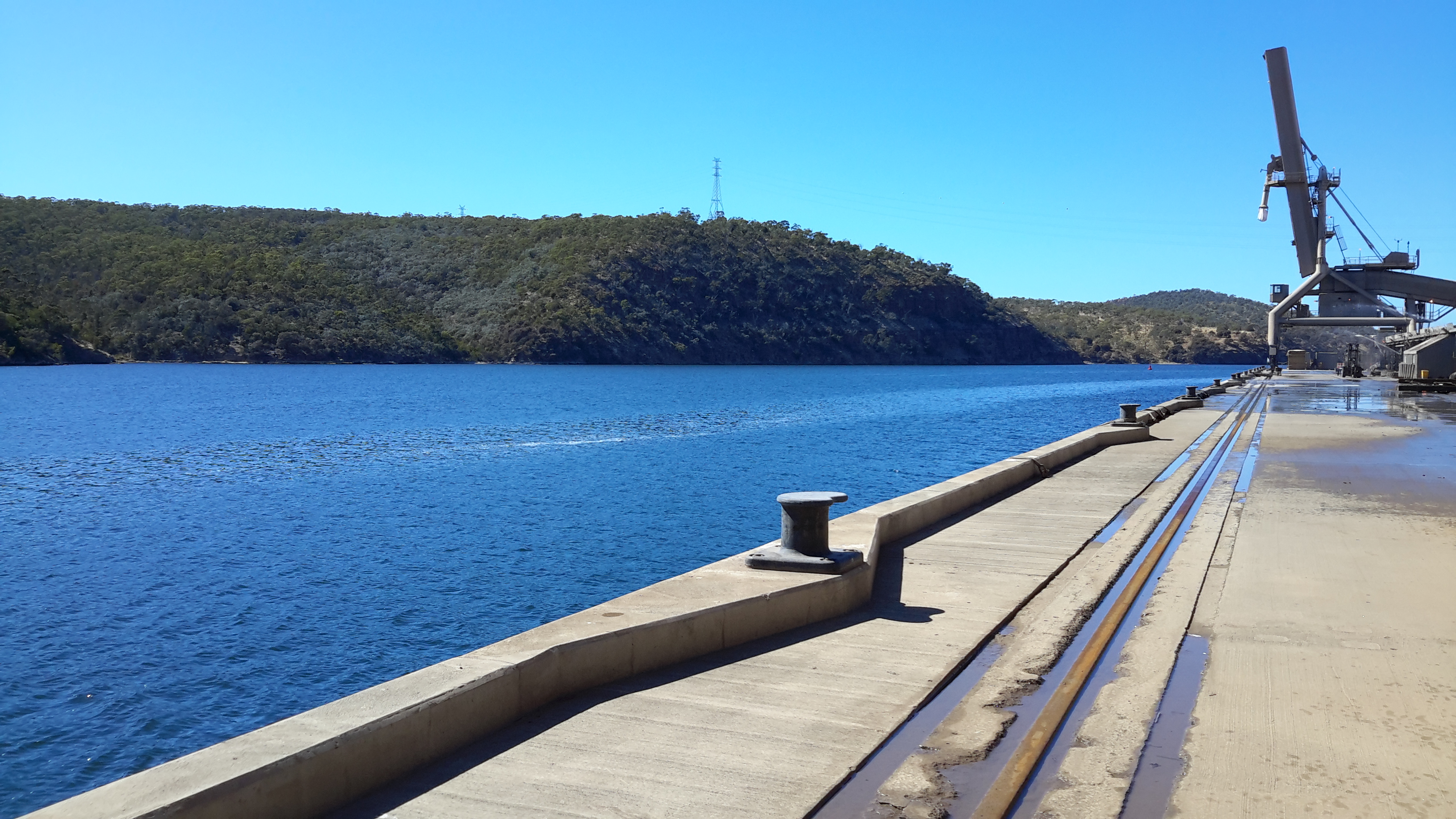
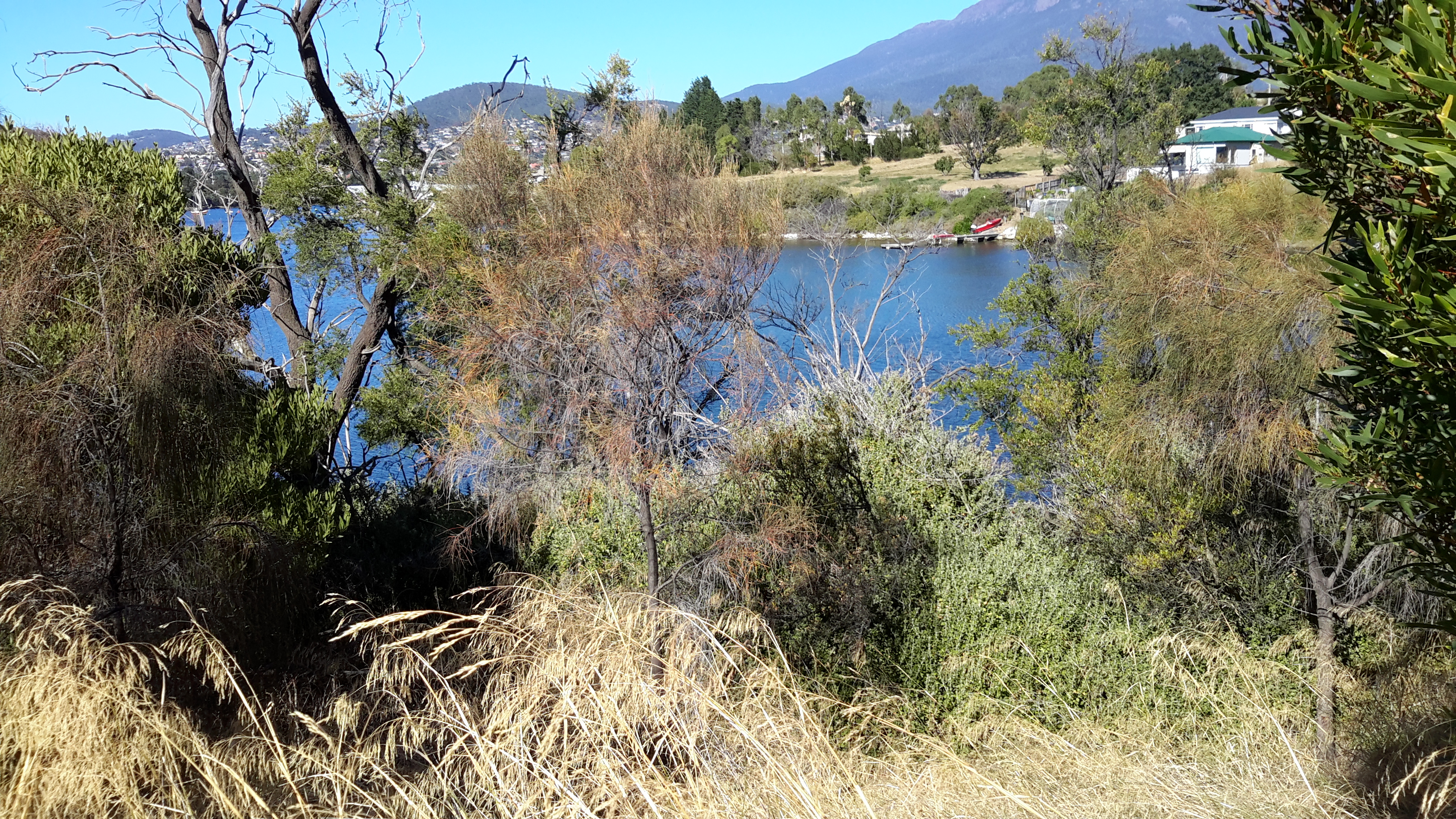
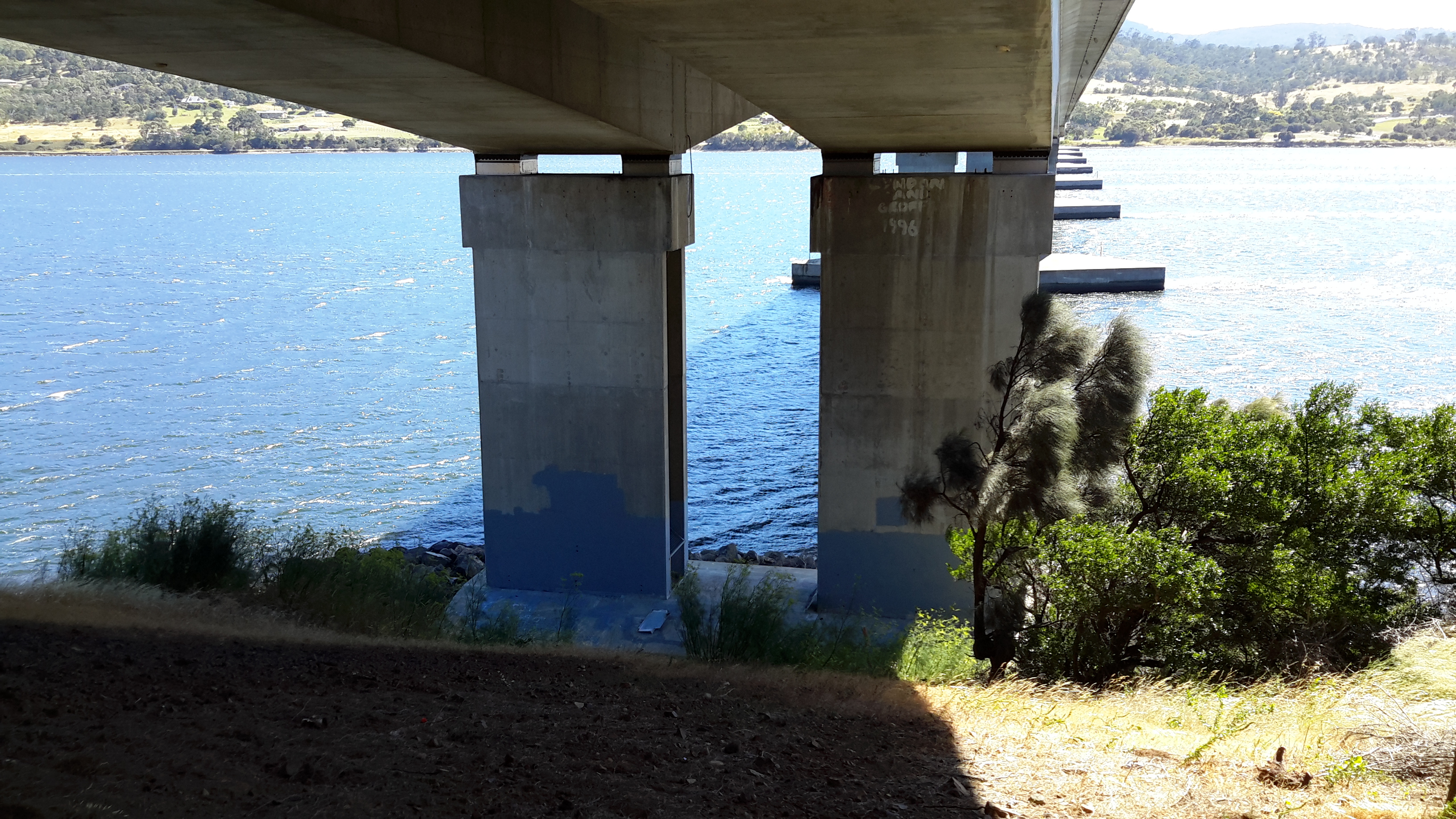
To help you to visualise the location, below is an excerpt from Google maps.

Harbour.JPG

Rex Gardner explained, ‘It could be loosely called an estuary, and more properly a harbour, which is a body of water surrounded by land.  The Derwent is 1.4km wide at the Tasman Bridge. From the Hobart docks to Howrah Point is 6km.  From Sandy Bay to Tranmere is 5km.  The Mississippi and the Amazon rivers don’t boast distances like that, except at their mouths or when they flow through lakes.’  Finally he remarked: ‘You have to wonder how the Derwent has suffered the indignity of being called a river for so long.  Just like Mount Wellington got a name change, so too should our Hobart Harbour.’  An alternative fact: our mountain has two official names – Mount Wellington and Kunanyi.

Rex Gardner’s approach adds a new dilemma. To understand some of the legal issues associated with defining a ‘river’ read here, here and here.

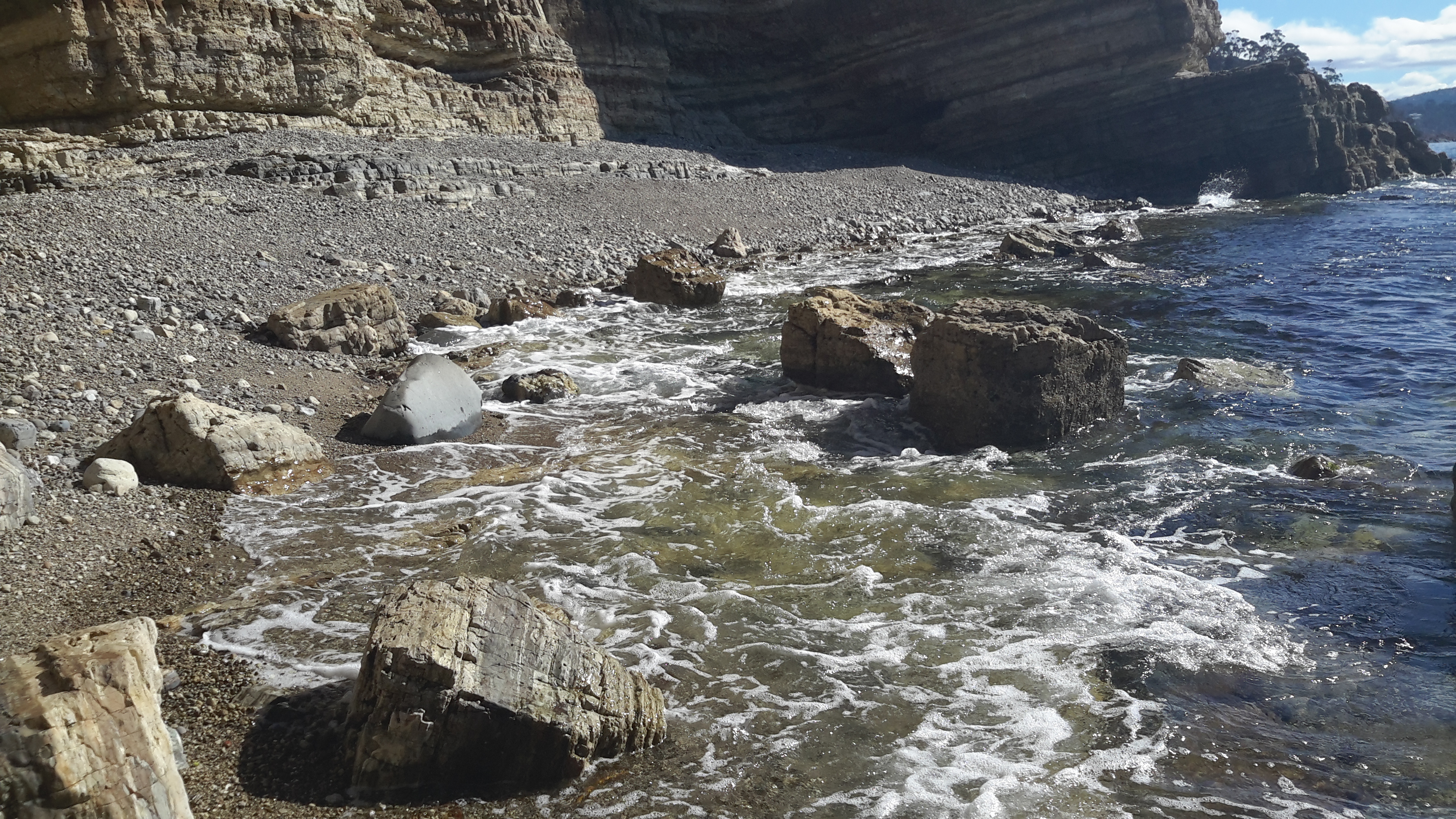
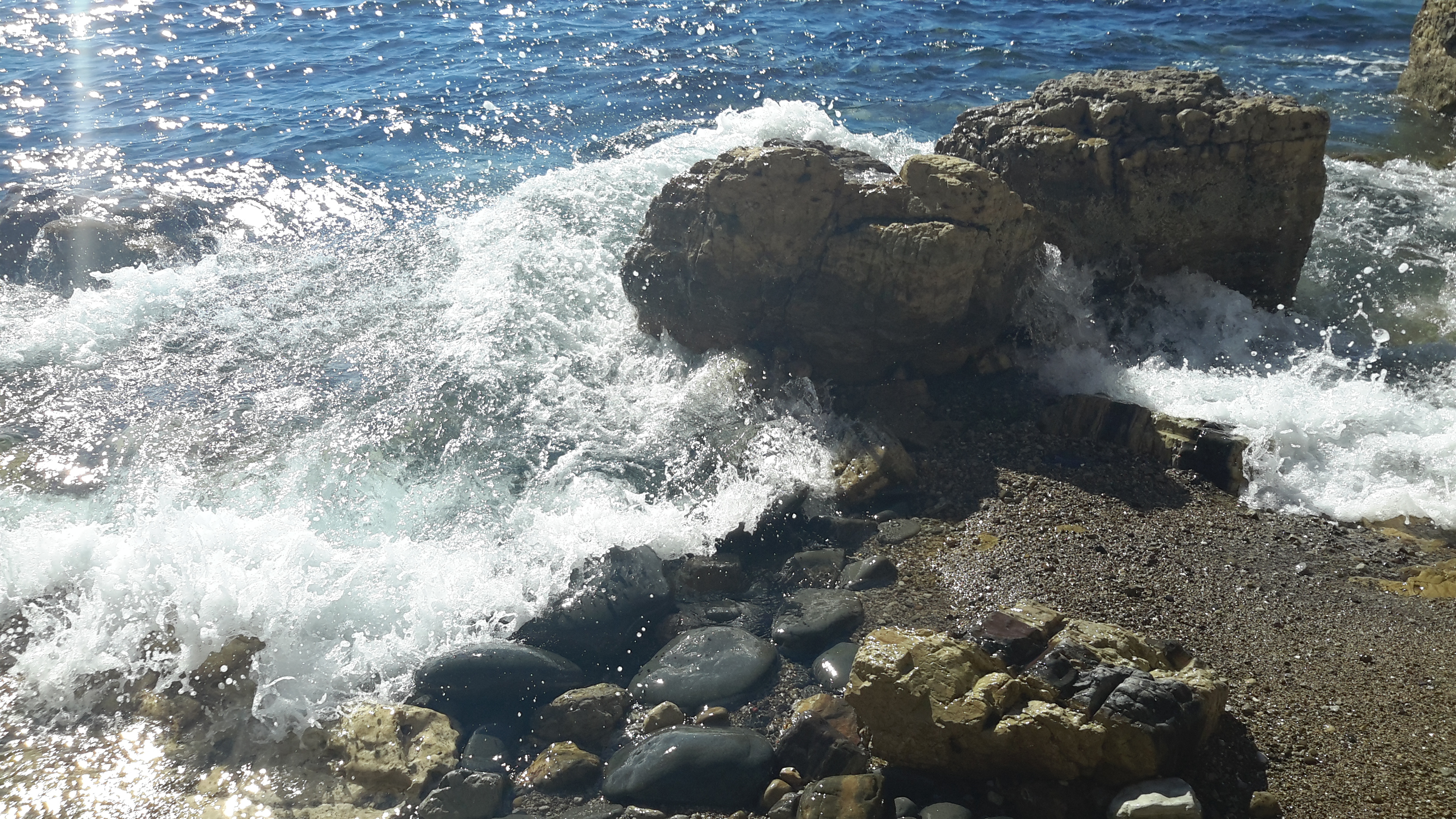
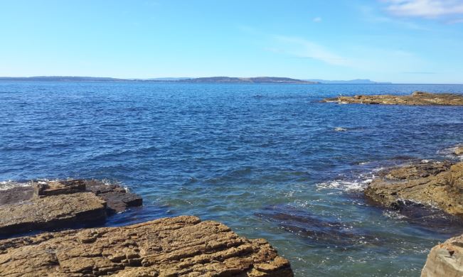
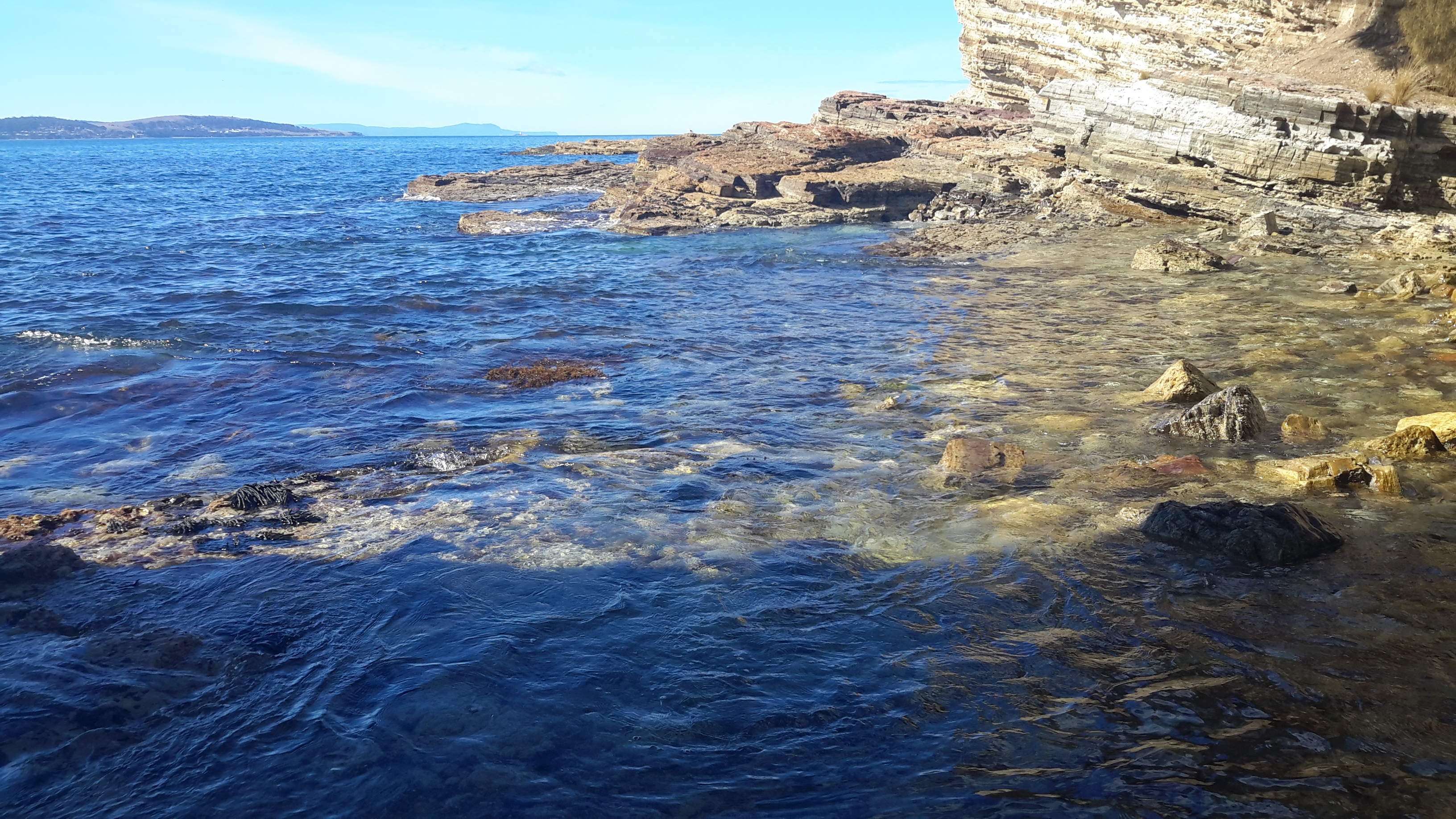
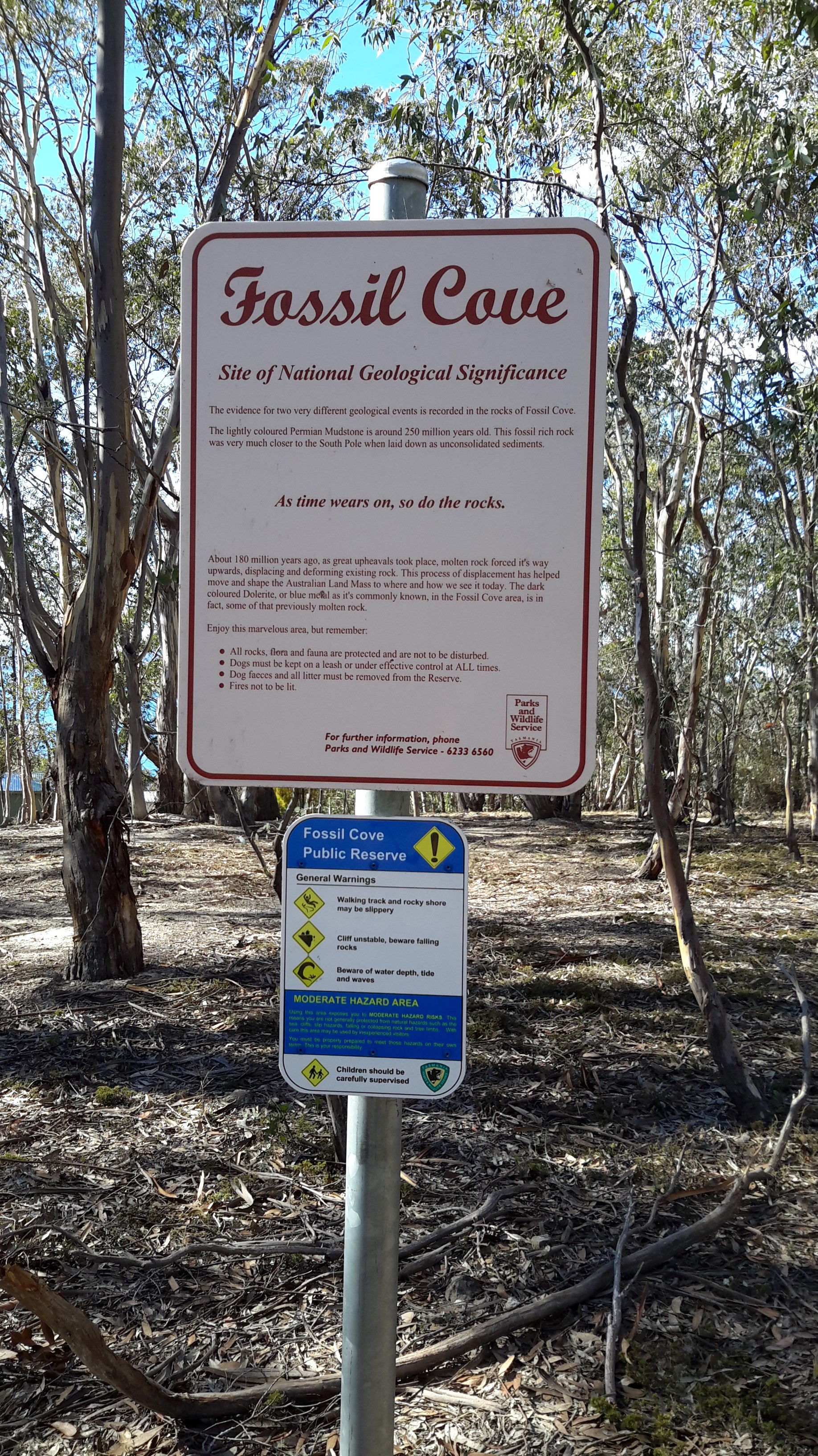
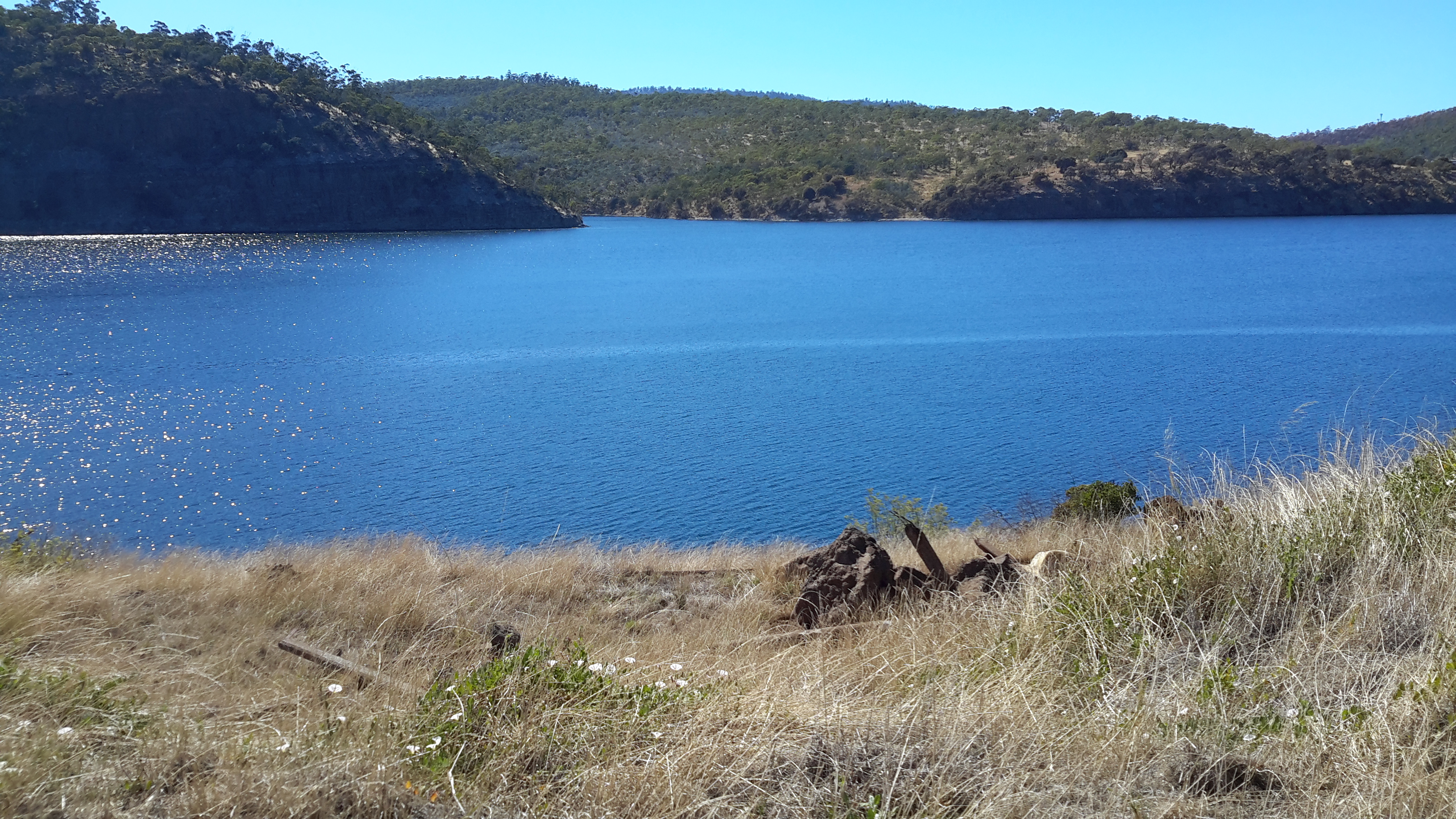
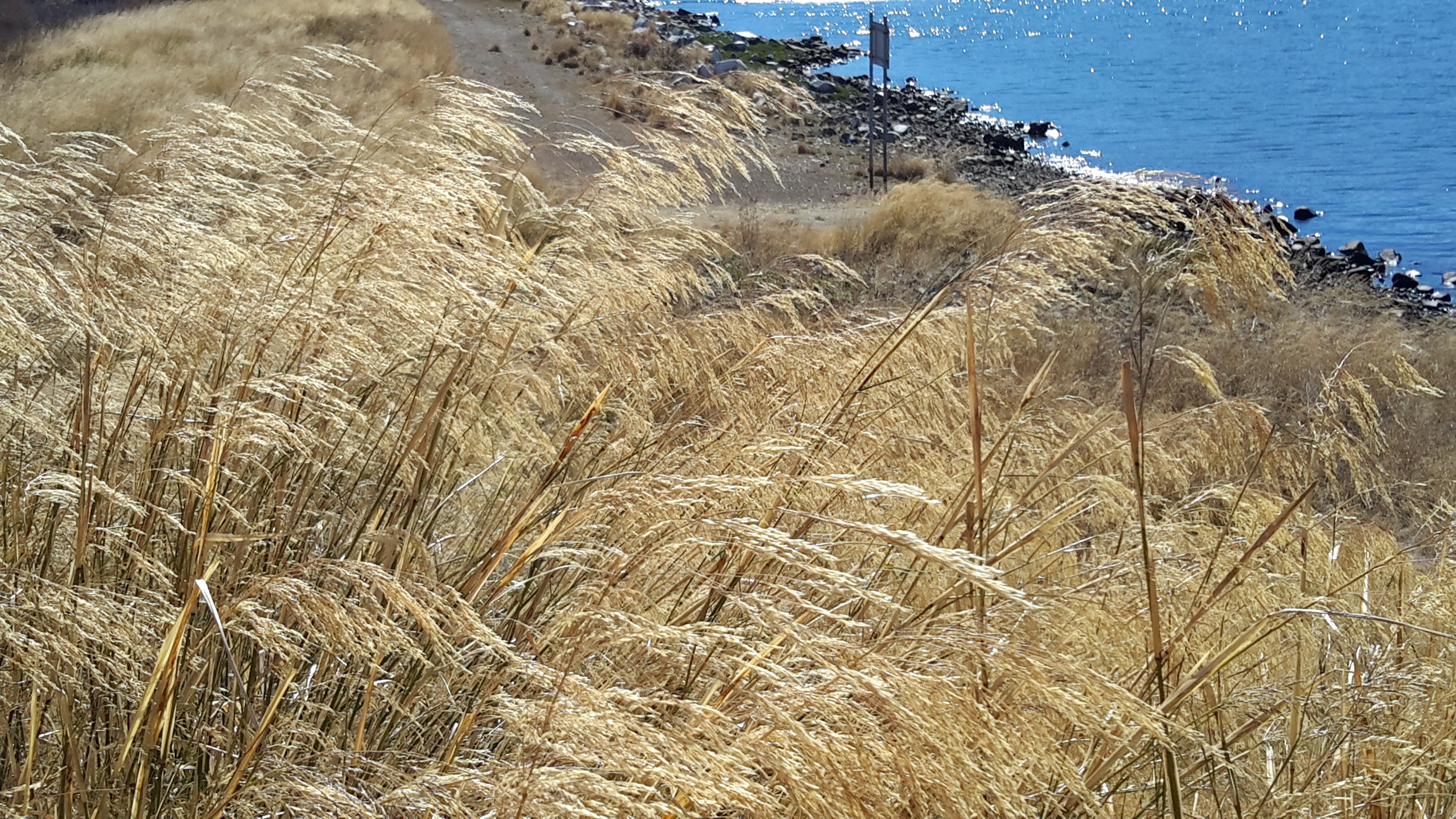
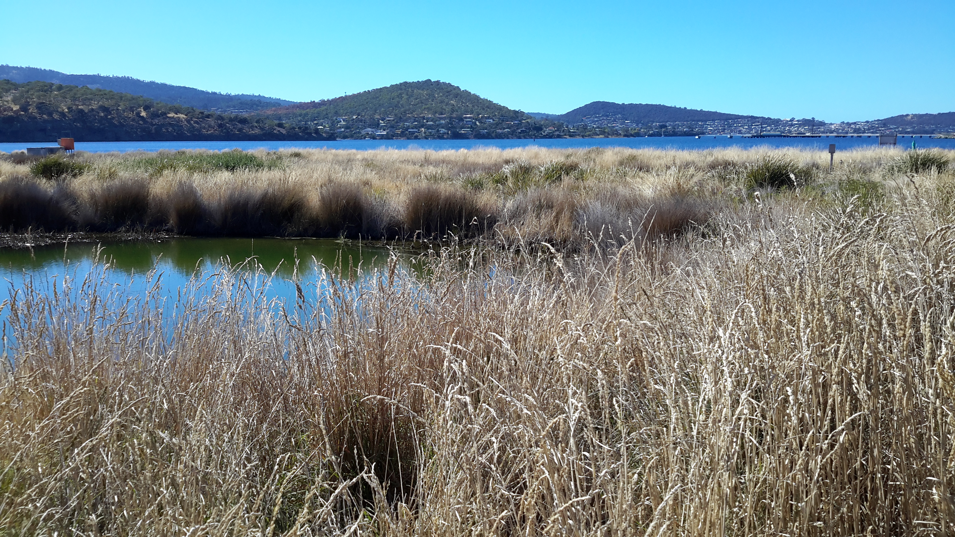
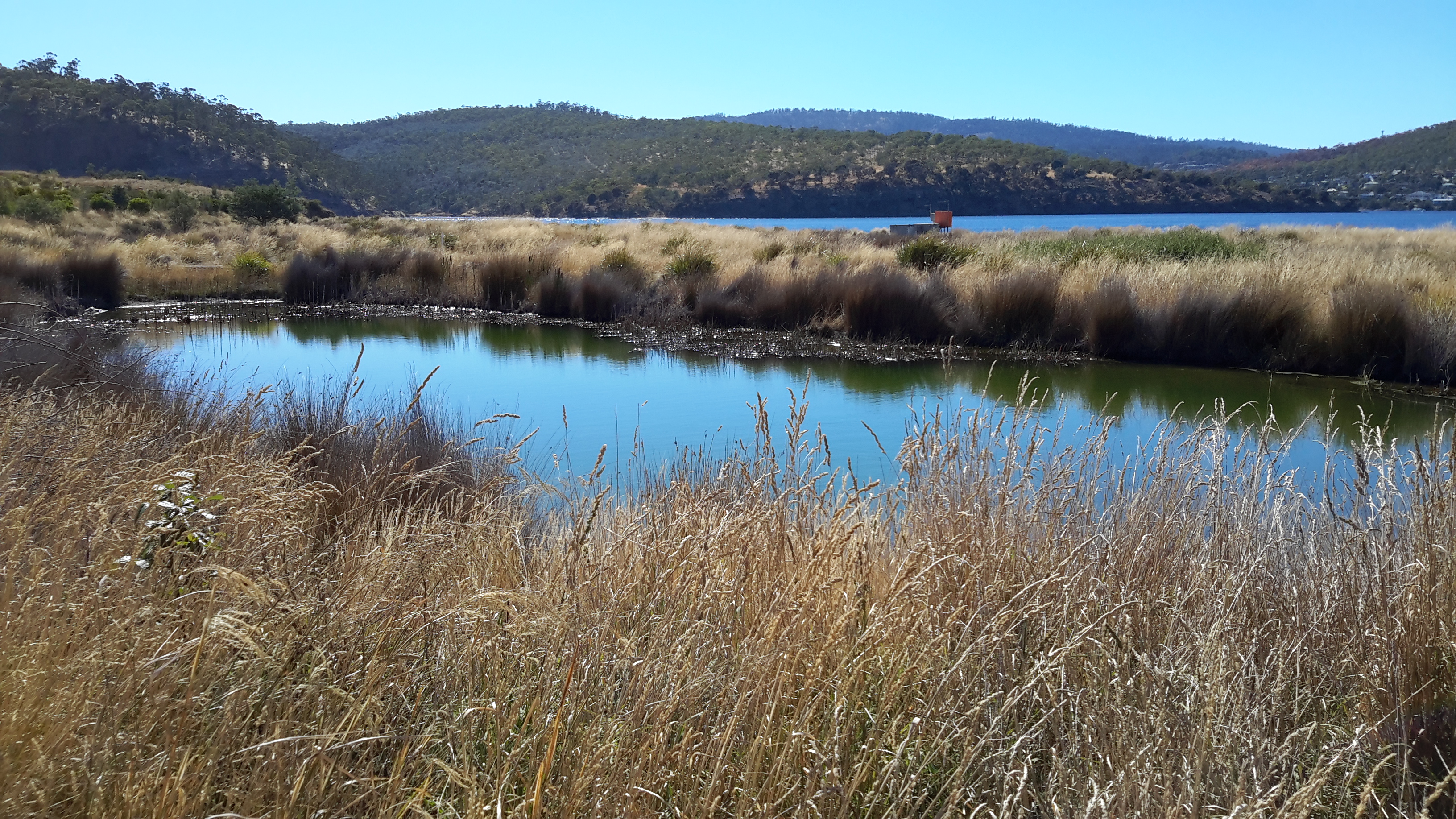
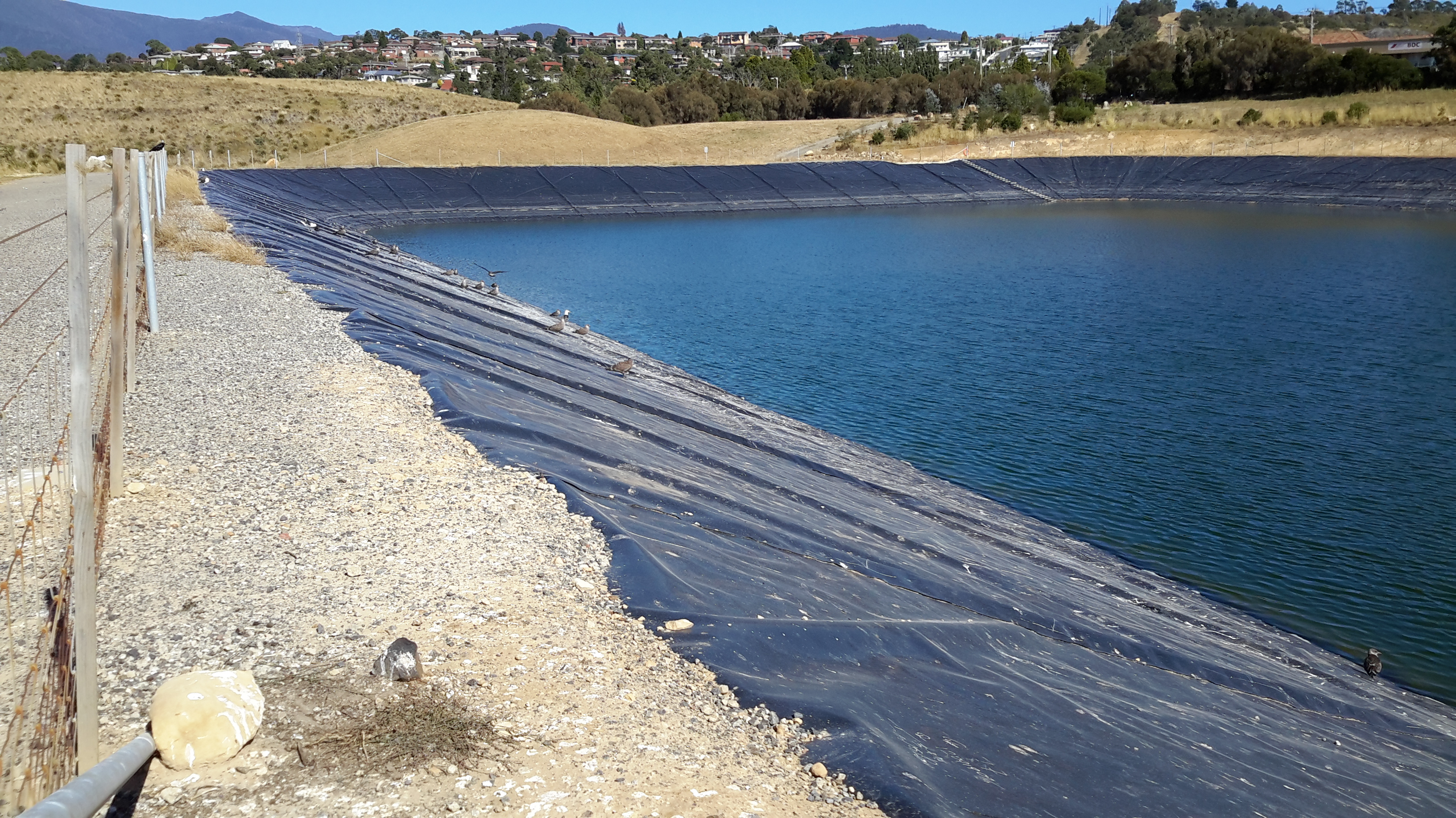
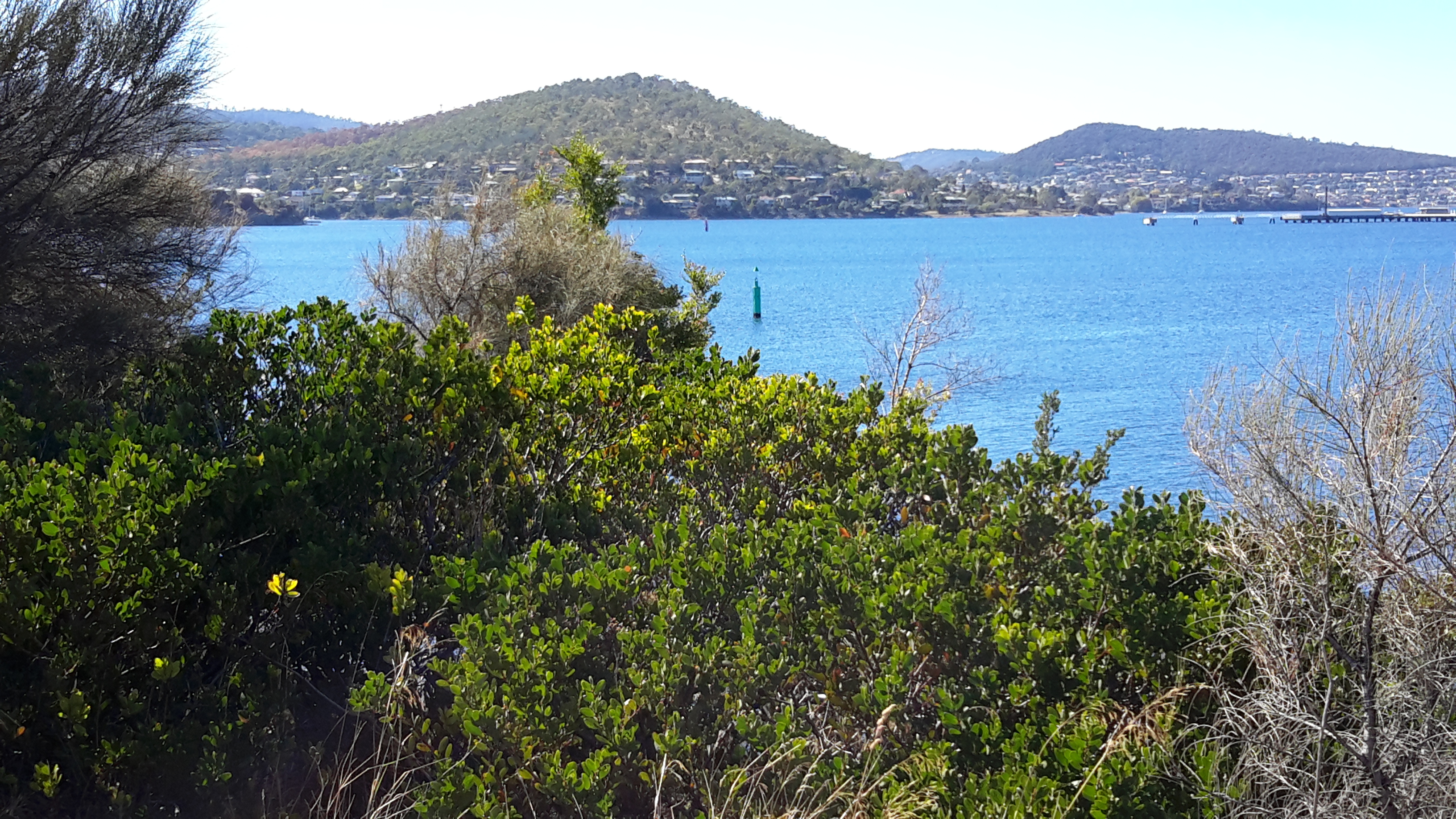
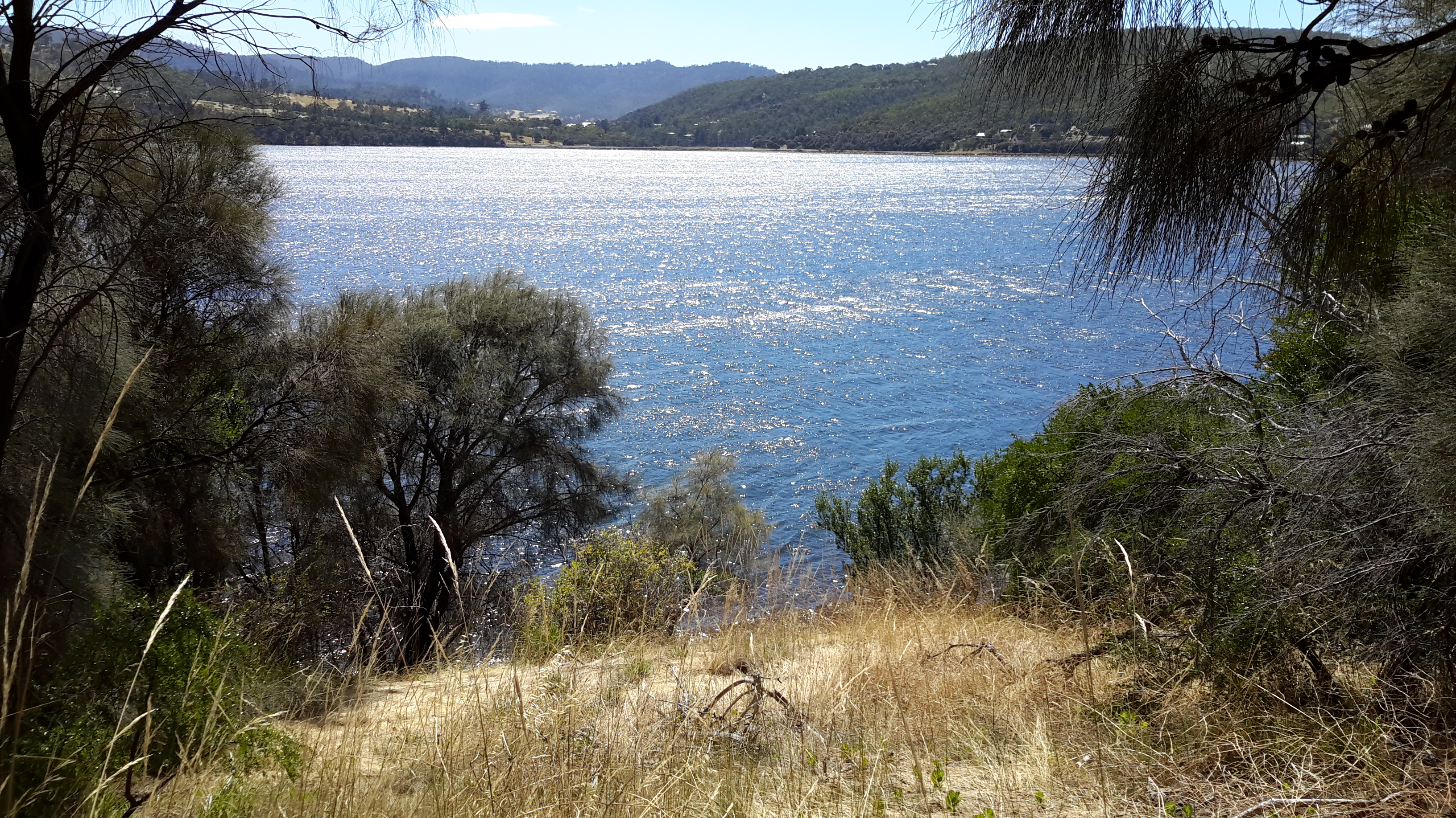
The Derwent Estuary Program describes the section of the Derwent between the Iron Pot (at the inner edge of Storm Bay near the eastern shore river mouth) and New Norfolk as the Derwent Estuary rather than the Derwent River and explains it is “a unique environment; a partially enclosed body of water where tidal seawater and fresh river water mix”.

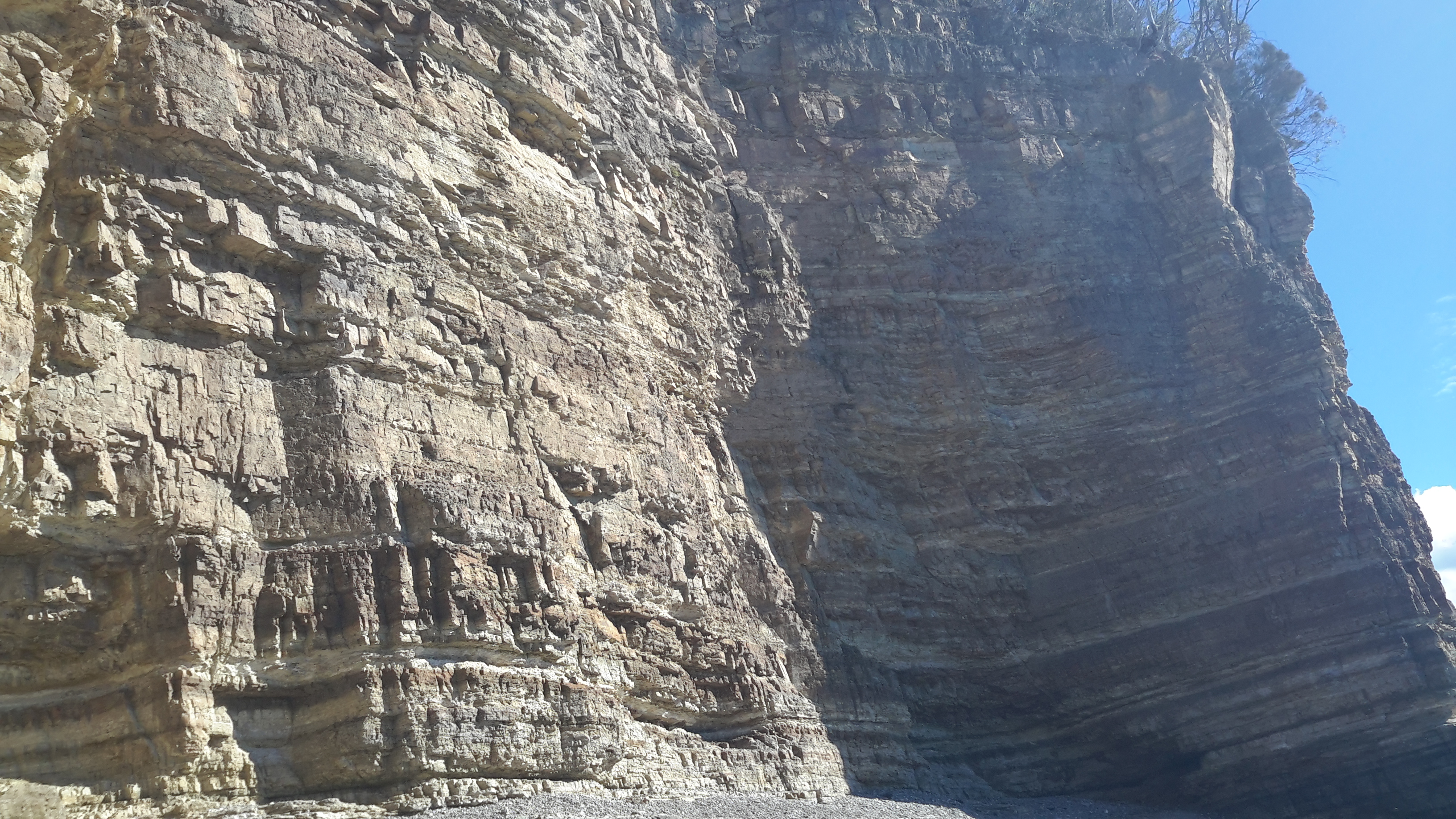
What constitutes our Derwent River – where does it start and stop?  What is the location of its mouth? I have become so used to thinking of the Derwent River starting in the Lake St Clair area and ending around the Iron Pot that these ideas have shaken me up; they are making me question my position.  Does it matter to you? I wonder what others think.

Max Angus’s Derwent exhibition

Researching Max Angus’s ‘source to sea’ exhibition is still a work in progress.  Meanwhile I have found other documents and websites which list watercolours depicting various aspects of the Derwent River.

Sue Backhouse & Christa Johannes  co-authored the publication Max Angus: a lifetime of watercolour and provided the following information:  the … watercolour landscapes … have been selected from a sixty-year period to enable a broad exploration of subject matter and stylistic changes. The work includes examples from each decade since the late 1940’s. The earliest watercolours were painted when Max Angus returned to Hobart following the Second World War.” 

A pdf document, SIXTY-FIVE PAINTINGS by ‘THE SUNDAY PAINTERS Max Angus, Harry Buckie, Roy Cox, Patricia Giles, Geoff Tyson, and Elspeth Vaughan from the collection of Don & Maggie Row can be read here. This document provides details of a few of Max’s earlier Derwent related works; for example Bay on the Derwent River (1957); a watercolour 24.5 × 37 cm (sight) signed lower right ‘Max Angus’ in original artist’s frame and hand-painted double mount; exhibited in November 1957 with Tasmanian Group of Painters for their 18th Annual Exhibition at the Tasmanian Museum and Art Gallery in Hobart. It was listed as no.1 in the catalogue and on sale for 12 guineas. Verso on the backing upper [handwritten large, in the artist’s hand] ‘A Bay on the Derwent River / Max Angus. Another watercolour, Tasman Bridge and Derwent River Hobart c.1970 was signed lower left ‘Max Angus’ . His pen and grey wash Hobart from Lewis Street, 1980 offered a view of Hobart and the Derwent and Eastern shore hills from the garden at 6 Lewis Street, North Hobart.

Max Angus

Thanks to blog reader Marion I have been reminded of well-known Tasmanian artist Max Angus and his connection with the Derwent River. His biography (up to 2003) can be read here. Max died aged over 102 years almost a fortnight ago in February (on my birthday so I will never forget it) this year.  You can refer to an ABC news report for more information .

As a celebrated watercolourist, Max documented coastal and inland Tasmanian landscape scenes, and over the decades of his life the Derwent River often featured as a subject for his paintings.

In 1990, one entire exhibition at the Freeman Gallery in Sandy Bay was devoted to the Derwent River Aspects of the Derwent from the Source to the Sea.  I am on the trail and hope to be able to post more exacting information in the future.  Perhaps a blog reader owns a catalogue from that rather special exhibition so I can see and learn more.  I suspect, like so many local art exhibitions, reproductions of the paintings on display were not included.  Nevertheless the descriptive titles which Max used for his work will be informative.

As an example of the artist’s Derwent River related work, a locally owned watercolour (included in this blog with permission from the private owner) titled ‘The Flying Cloud in Victoria Dock’ painted in October 1990, is shown below.  The waters of the Derwent River look fairly glassy in the foreground and a moody Mount Wellington provides a background to Hobart’s port.

Marions mothers max angus watercolour.JPG

Walking on an industrial site – posting 5 of 5

Eventually we walked onto the Nyrstar wharf, after sometimes successfully dodging water sprays to keep the dust down. Here I was able to look upstream and enjoy the expanse of the Derwent River, and to recognise the Bowen Bridge and Mount Direction in the distance.  20170227_111100.jpg

20170227_111713.jpg

20170227_113451.jpg

20170227_114243.jpg

We passed equipment such as the dust measurer shown below.

20170227_114227.jpg

At the western end I was able to look past the big sheds of the INCAT boat building industry over Prince of Wales Bay and see Technopark perched on top of Dowsing Point.

20170227_113557.jpg

A view looking across the Derwent River to the inlet where the first European settlers set up camp in 1803 is shown below: 20170227_114246.jpg

Looking back downstream the river and landscape appeared as follows:       20170227_111525.jpg

20170227_114217.jpg

20170227_111515.jpg

I also enjoyed walking through parts of the large industrial site for the geometric shapes of the structures and for the various vintages of buildings. Most of all, similarly to my feelings about the Hydro Tasmania structures in the upper Derwent Valley and beyond, I admired the pioneering and massive engineering works that created the manmade parts of the site. 20170227_112925.jpg

20170227_112930.jpg

20170227_113459.jpgI was surprised at the extent of chemical hazards which need good management; associated with the zinc smelting process are dangerous chemicals such as mercury, cadmium and lead. During the walk I learnt a great deal about the attitude of the business towards instituting and maintaining good environmental practices. In addition, I was shown revegetated expanses and different buildings which prioritise care for the environment and make it a reality. Seeing and experiencing all of this was much more than I expected, and I remain immensely grateful for the time and interest given by my excellent host Todd.

In a special showcase at Nyrstar’s Reception, plaques and various awards are clustered together. One example, a National River Prize, was presented by the International River Foundation in 2010 to the Derwent Estuary Program,  of which Nyrstar is a founding member.  A list of the Australian winners that year can be read here and if you refer to page eight, more information about Nyrstar and the Derwent estuary is available. My photo below includes that framed paper award with another sculptural award sitting in front.

20170227_095942cropped.JPG

Overall, I was delighted to be able to fill a gap in my walk along the Derwent River, on this private property.  I am indebted to friend Clinton for his connections with Nyrstar that helped to make the walk a reality. Especial thanks to my thoughtful host Todd, and to Nyrstar.

Walking on an industrial site – posting 4 of 5

During the planning phase for this walk on Nyrstar property,  I anticipated that after passing the wetlands treatment area my walk would be finished because, from then on, site buildings and operations sit next to most of the shore. I imagined access to these areas would be impossible for a visitor.

Three times a week, on average, large ships berth nearby ready to load up with the processed Zinc. However it was my lucky day and the wharf was clear.  My host volunteered to take me further if I wished.  Yes please.  It seems that at every turn, on my walk from the mouth to the source of the Derwent River, people have helped and ways have been found to give me access to more of the River than I ever thought possible.  I am so immensely grateful.

Back on a main road we headed towards the wharf, all the while with the river glistening in the strong sunlight and with the shadow of the East Risdon State Reserve ever apparent on the eastern shore.

20170227_105352.jpg

20170227_105726.jpg

20170227_110156.jpg

20170227_105527.jpg

20170227_105542.jpgAs we headed west towards the wharf area, Mount Direction on the eastern shore loomed large.

20170227_110153.jpg

Before reaching the wharf, we passed a repetitive pattern – one which has nothing to do with the Derwent but which attracted my attention.  Bags. Large bags. Heavy bags. Very well organised. Very tidy.

20170227_110506.jpg

20170227_110509.jpg

Nyrstar is an operation which works hard to recycle by-products of the zinc smelting process and to minimise wastage. In association with other Nyrstar operations elsewhere in Australia, the Hobart site uses these bags in the ongoing process. I was impressed with the commitment of this company to repair the degradation of the environment which occurred in the early years of the ‘zinc works’ albeit under the control of other companies and how every effort is made now to ensure that no further harm is caused (and no – I am not being paid or encouraged to be so positive.  Early blog readers will remember my posting about the independence with which I have made my walk. You can read I pay my own way as I walk along the Derwent River here.

Walking on an industrial site – posting 3 of 5

After we rounded the hill, it was the colour and nature of grasses which took my attention.

20170227_103718.jpg

20170227_103722.jpg

20170227_103742.jpg

20170227_103747.jpg

The waving grasses skirted a wetlands including ponds and dams. These were created as a treatment works so that water entering the Derwent River is unpolluted.  Deceptively simple, but complex and sophisticated. Some of these treatment areas are located in the foreground of the following photos;

20170227_103716.jpg

20170227_104103.jpg

20170227_104110.jpg

20170227_104144.jpg

20170227_105017.jpgI particularly liked walking along the reclaimed track next to the water of the Derwent and watching a pair of Gulls with their two immature offspring. These were either Kelp or Pacific Gulls. I suspect they were the latter because their yellow bills did not seem so large as those typical of a Pacific Gull.

20170227_104458.jpg

Looking across to the eastern shore I recognised the inlet of Shag Bay, an area which has been the topic of a number of previous blog postings; for example,  refer here and here.

20170227_104816.jpg

I was pleased to see that on a normal working day, someone still had the luxury of time to be sailing.

20170227_104832.jpg

Walking on an industrial site – posting 2 of 5

Once decked out in our safety gear, Nyrstar’s Todd and I strode off down the road towards the entrance to the industrial estate all the while admiring the day and the view of the Derwent River whenever it appeared around buildings and between parts of the landscape.

20170227_095403 crop.JPG

20170227_102454 crop.JPG

Once through a gate in a high protective fence, we came to a junction. Should we walk forward directly to the river or turn right on a track around a hill shaped by metallic discards decades ago?

20170227_103056.jpg

The choice was easy. We turned right and continued as the track took us above but on the edge of the Derwent River in New Town Bay.  20170227_103354.jpg

20170227_103446.jpg

I could look inland to Mount Wellington and across the Bay to Self’s Point.  An early record of my walk along the Derwent at Self’s Point can be read here and here.

20170227_103356.jpg

20170227_103632.jpg

20170227_104106.jpg

As usual, I loved the brilliant colours that a clear day produces on the river and the landscape.  I hope you find the photos as stunning as I do – long term blog followers know I never set out to create heart-stopping reproduction photos only to record in a casual way what I see. During my walk on Nyrstar property, the world and the Derwent River in particular, seemed spectacular.

20170227_103624.jpg

20170227_103627.jpg

As we walked around the hill, the eastern shore came into view – some of it built up with private houses and other parts remaining as uncleared bushland. My host and I mused on how the first European explorers and settlers would have seen both sides of the Derwent River completely forested. By  being able to see such forests today helped me to have some appreciation of their world at the end of the 18th century.  If those travellers arrived on a day like we were having then the landscape would have looked wonderful, although somewhat impenetrable.

20170227_103635.jpg

20170227_103650.jpg


Walking on an industrial site – posting 1 of 5


This seems an appropriate time to add in the stories of my walk along the water edge of one of Greater Hobart Area’s iconic industrial estates in its 100th year of operation.  This series of postings records the morning when I was privileged to be given permission to walk on some of Nyrstar’s property.  But first – a reminder of what the site looks like from a distance; from other vantage points during my walk along the Derwent.

For example, my blog posting Either side of Bowen bridge – posting 5 of 9 included a photo looking at Nyrstar from Dowsing Point and across Prince of Wales Bay.  Refer also to my postings On through the East Risdon State Reserve along the Derwent River and Along the northern side of Shag Bay and onwards along the Derwent River for additional photos of Nyrstar. These latter two postings were made after my walk through the East Risdon State Reserve on the eastern shore across the Derwent River from Nyrstar on the western shore.

Colloquially known as ‘the zinc works’ or the ‘Risdon works’, Nyrstar’s operation centres around converting raw materials into zinc metal.  More can be read here.

Special permission was required to walk on this land and I needed to agree to particular conditions before I could proceed. The extensive site holds many dangers of physical, chemical, electrical, mechanical and liquid kinds and legislation and internal procedures regulate entry and access. This is not a public access walk.  After arrival at the Reception  office on-site,  I submitted to a health and safety induction process, donned a high-vis vest and other safety gear (including designated boots), and accepted that I must be accompanied by a staff member at all times. My host and guide was a senior manager whose understanding, knowledge and passion  for the environment had to be second to none.  I could not have been more fortunate. And he also loved the Derwent River and told me how he jumped into his kayak to explore the river whenever he could find a moment (no – not while he is at work!).

The day of our walk was gloriously sunny with hardly a puff of white marking the sky; exceptional walking weather where every detail is clear.

A considerable portion of the Nyrstar industrial buildings edge the Derwent River as shown in the Google map excerpt below.

Google Nystar industrial bldgs.JPG

Nyrstar’s property extends into New Town Bay. I expected only to walk on and next to the rocky shore along the lines I marked on the Google map below.  Future postings will reveal whether I actually walked further.

Nystar possible walking track.JPG

I am so very grateful for the support and interest and assistance which Nyrstar provided to ensure that my walk along the Derwent River was complete.  Staff all over the site could not have been more pleasant.


Either side of Bowen bridge – posting 8 of 9

I continued along this rocky edge of Prince of Wales Bay a few metres away from the main run of the Derwent River, until it was clear that full access around the inlet at water level would not be possible.

20170125_110248

Eventually I came up from the shore and walked through the grass with pounding feet hoping the vibration would deter any snakes.

20170125_110615

I noted that a creative soul had walked this track.  Obviously inspired by the movement of the firm strands of tall grass, on two occasions in different places, a person has plaited stalks together to offer markers of mankind in the neighbourhood, or so it seemed to me.

20170125_111038

20170125_111028.jpg

20170125_111332.jpg

20170125_111337.jpg


Either side of Bowen bridge – posting 5 of 9

Once under the Bowen Bridge I could see a track continued in the easterly direction, and skirted around the bottom of Technopark.

20170125_104953.jpg

20170125_105002.jpg

20170125_105044.jpg

100 metres along this track I spotted the only sign of bureaucracy.

20170125_105314.jpg

I imagined I might surprise a fisherman at the end of the track or detect one who had made his or her way from the track to the water’s edge and was partially hidden by the bush. But I never did. I never saw anyone.

As I continued walking I spotted the township of Risdon across the river.

20170125_105336.jpg

20170125_105554.jpg

And then the large industrial plant of Nystar came into view.

20170125_105544.jpg

Most prominently, the gaping ‘mouths’ of the  boat building company INCAT stood across the inlet of the Derwent River (Prince of Wales Bay) from Dowsing Point.

20170125_110009.jpg

20170125_110021.jpg

20170125_110024.jpg


Either side of Bowen bridge – posting 3 of 9

Once at the bridge, I made my way  through long grass and weeds to the fence line hoping to find a gap or to be able to follow the fence downhill and arrive at the water’s edge.   I was relieved when the fences stopped giving me open access to the land below. The Derwent River was clearly visible so I continued scrambling downhill until I stumbled across a track which I followed under the bridge.  20170125_094951.jpg

20170125_094956.jpg

20170125_095256.jpg Once under the bridge I discovered a set of concrete steps which would have made descent easy.  To access these from the bridge pathway above, walk to the left of the plaque and then follow the bridge wall downhill until the steps are reached.  There are no gates to block progress.   20170125_095126.jpg

20170125_104732.jpg

20170125_104538.jpg