Category Archives: Tasmania

Moving river shots

Where the Derwent River is deep , rocks on its bed do not break the surface and create rapids.  In these instances, judging the speed of the river flow is impossible. Only when the water gushes around protruding rocks could I understand these as markers of the speed of water flow. I have no doubt that for much of the length of the river, if you were to brave the cold water and try to swim across, you would end up many metres downstream before connecting with the bank on the other side. The Derwent River rushes past fast.

 20160328_123213

20160328_123708.jpg

20160328_143437.jpg


Suddenly the river appears

When the Derwent River appears, my heart flutters with excitement.  ‘There it is!’, I exclaim. My mouth softens towards a smile and any walking challenges experienced reaching the River, are forgotten immediately.

20160328_113227.jpg

20160328_143138 cropped.JPG

20160328_124943.jpg

20160328_105556.jpg

20160328_103046.jpg

20160328_104811.jpg

20160328_104116.jpg

20160328_110825 cropped.JPG

20160328_114009.jpg

20160328_114127.jpg


Walking to and from the Derwent River

Sometimes, time was taken to walk to and from roads in order to reach the Derwent River and then walk alongside it’s flow.  The photos  below show a selection of those landscapes.

20160328_095809 cropped.JPG

20160328_094204 cropped.JPG

20160328_095814.jpg

20160328_101538.jpg

20160328_101551.jpg

20160328_102516 cropped.JPG

20160328_104957.jpg

20160328_135756.jpg

20160328_105405.jpg

20160328_111035.jpg

20160328_110810.jpg20160328_122943.jpg

20160328_123040.jpg

20160328_124030.jpg

20160328_123820.jpg

20160328_130921.jpg


19/1/17

Glorious photos of Meadowbank Lake


Meadowbank Lake is the last expanse of water that has been dammed for hydro power generation purposes, before Hobart.  A good, but narrow bitumen road (Ellendale Road) crosses Meadowbank Lake near its inland western extremity.

20160115_140312.jpg

20160115_140337.jpg

20160115_140356.jpg

This glorious sight is easily accessible from the Lyell Highway on the northern/eastern side of the Derwent River, or via the tiny towns of Glenora and Ellendale on the southern/western side.

Looking westwards:

20160115_140332.jpg

20160115_140329.jpg

20160115_140317.jpg

Looking eastwards:

20160115_140223.jpg

20160115_140304.jpg

20160115_140300.jpg

I have written about Meadowbank Lake before and previously included photos.  The photos in this post were taken one day after completing a walk further inland. I was being driven back to Hobart along the Lyell Highway, and then we deviated by crossing the Lake and proceeding to Ellendale to buy freshly picked raspberries and blueberries.

Only on one occasion have I passed by this Lake under cloud.  Even then, the more sombre colour of the Lake and the less vivid greens, greys and beiges of the landscape were still most attractive.  There are picnic spots either side of the Lake, and public toilets on the Lyell Highway side.  A wonderful location for solo or family visits.

Hitchhiking

Part of the fun (challenge) was returning home after completing an inland walk along the Derwent River.  Elsewhere in this blog,  I have talked about the difficulty of accessing public transport away from the Greater Hobart Area.

On a few occasions, I emerged onto the Lyell Highway and with no public bus scheduled to pass, I stuck out my thumb and hitchhiked a ride back to Hobart.  As in most countries, hitchhiking can be a dangerous choice but in all cases I was fortunate.

I felt the most fragile on one ride because the young and inexperienced international driver who was used to driving on the other side of the road, was driving either at or over Tasmania’s speed limit.  With her perfect blond hair swinging, and her fine hands resting loosely on the steering wheel, she seemed unable to understand the limitations of our Central Highlands highway. Our road signs indicate cars can travel at a maximum of 100 km per hour on the Lyell Highway, but this does not mean it is always safe to do so.  Despite being a highway, this two-lane road is narrow and does not always carry white line markings to indicate where the road meets the loose gravel or vegetated verge. In addition, this winding road requires drivers to reduce their speed to navigate corners safely.  I made, what I thought were casually expressed, comments such as ‘I suppose you wouldn’t be familiar with narrow winding highways and how this makes a difference to your driving’, and ‘I know this road reasonably well and think the patch coming up will need to be taken a bit slower to avoid entering traffic if any’, and other similar comments.  It made no difference and, if anything, the car whizzed along even faster.   I tightened my seat belt.  Closer to home she told me she planned to deviate and take a slightly longer route to Hobart. I knew the deviation was a narrow gravel road in parts and I believed skidding along such byways was highly possible with her driving style. Her decision gave me an opening to get out and say good bye without hurt feelings.  I was most relieved when I stood back on terra firma and waved farewell.

On another occasion, after standing in the one spot for one and a half hours and watching traffic stream past, a very old beaten-up ute driven by an even older man pulled up.  He had seen me there an hour or so earlier when he travelled west. Now he was returning home to the next town 8 kms away.  Would I be happy if he dropped me there?  Absolutely.

At the worst, I knew I could set up my tent in the camping ground or book into the hotel overnight then catch a bus home the next day. But life treated me better than that.  A cup of tea in a civilised café was my first priority.  I sat outside at a garden table in the warm afternoon sun, with a large pot of tea feeling like I had won the lottery.  At the next table two men were eating a late lunch.  They noticed my backpack and struck up a conversation. One was a walker who was in training for some serious trail walking in Europe where he planned to travel later last year.  So we had interests in common and our chatter was convivial. Without knowing what sort of vehicle they were travelling in, I asked if I could get a lift back to Hobart.  Yes they said ‘if you don’t mind travelling in a truck’.  Visions of smelly cattle or sheep trucks with generations of human flotsam and jetsam distributed through the cabin came to mind.  But I was smelly I supposed having not showered for a day or two, and they were travelling my way.  I nodded,  ‘Fine. Thanks.’

‘That’s it over there’.  They pointed.  A shiny state of the art new truck gleamed on the other side of the road.  It took my breath away.  Inside, it was clearly so new that the original plastic sheeting covers were still across all seats and everything was protected.  Never in my life have I experienced a vehicle in pristine condition, and with all attempts by its occupants to keep it this way.  Once we were on the road, Kevin and Adrian explained.  That morning they had made a sales presentation to a local government agency hoping to inspire them to buy one or more of these state-of-the-art trucks.  I have always wondered what the outcome was for their negotiations.  I thought it was a superb vehicle not the least because the airconditioning could be controlled.  But what do I know?

This was a Webster truck. I can no longer recall which brand and  – at the risk of being the stereotypical female –  I do recall it was gleaming white. Is that a help?

All of these people and more, have helped me to return home safely. I am grateful. Thank you.

Being out there

I am always squinting as I search for ‘my’ beloved river (getting more and more sun damage on my skin despite heavy lathers of sunscreen).  As I look at the photos which I am adding to the new blog posts,  I have a sense of homesickness – that Derwent River edge is not my home, but it became almost my total preoccupation for a while.  I so loved every discovery, every blade of grass, every bird cry and all the sounds of the River.  What a privilege it was to be free to walk next to that wonderful ribbon of water.

20160328_095838 cropped.JPG


Natural bush remnants amidst agricultural lands – posting 5 of 5

I hope you enjoy the subtle colours in the reflections on the Derwent River in this  video.  Did you hear the kookaburra?

I hope you enjoy the sounds (make sure your volume is turned up) and the sense of peace as the Derwent River rushed past me in the next two videos:  here with the sound of a crow, and here.

I always enjoy pretty sights of decay, although my photo doesn’t bring out the intense orange colour of the fungi that I remember.

20160301_130015.jpg


Natural bush remnants amidst agricultural lands – posting 3 of 5

20160301_131606.jpg

20160301-131732cropped.JPG

20160301_132050.jpg

20160301_132055.jpg

20160301_132641.jpg

And sometimes, inadvertently I am there in the landscape.

20160301_132228.jpg


Natural bush remnants amidst agricultural lands – posting 2 of 5

20160301_113747.jpg

20160301_114838.jpg

20160301_115532.jpg

20160301_115537.jpg

20160301_120651.jpg

20160301_131427.jpg

Feel free to place any photo as your computer background


Natural bush remnants amidst agricultural lands –posting 1 of 5

The bush, whether  or not it has been disturbed by farmers, hydro workers, road makers or forestry men, is always alluring and endlessly attractive. It may be open, tangled or dense. Agriculturalists may have cleared land leaving occasional remnants of bush and tufts of its natural grasses. It will contain natives and exotics. The bush may be dry or wet. The colour may be grey-green naturally or from a dusty overlay.  Alternatively, myriads of other shades of green, grey, beige, and brown will fleck against rocky outcrops and the black or green glassiness of the Derwent River passing through.

The following photos and those in the subsequent postings in this series, were taken at various locations between Meadowbank Dam and its Power Station towards Gretna.

20160301_111306.jpg

20160301_112002.jpg

20160301_112058.jpg

20160301_112357.jpg

20160301_112507.jpg

20160301_112416.jpg


Recapping the walk along the Derwent River


I lived the walk along the Derwent with a vital obsession but, after so many months intensely engaged on other projects, now some of the details are vague. To re-immerse myself into the experience, I am writing this post.

In addition, I suspect it will be a great help to people who have become followers of my blog during the past 6 months.  Despite my inactivity, it surprises me how many visitors and views the blog gets daily, how many different posts are read, and how many different countries around the world are represented.

In August 2014, from an impulsive unplanned idea, I took a bus to a spot near the mouth of the Derwent River on the eastern shore, walked to the sea then retraced my steps and began the walk towards the source of this great river approximately 214kms inland.  On day trips, and around other life commitments, I walked in stages along the eastern shore until I reached the Bridgewater Bridge which crosses the Derwent approximately 43 kms upstream.

Instead of continuing inland, I crossed the bridge and headed back on the western shore towards the southernmost  mouth of the River.  Most of the walks along the eastern and western shores between the sea and the Bridgewater Bridge were along designated pathways, although some informal track walking, road walking and beach walking was required during my trips.

Then I returned to the Bridgewater Bridge and began the journey inland expecting only to walk on the side of the river that made passage easiest.  I had no intention to walk both sides from this point onwards in anticipation the landscape would be inaccessible for a number of reasons or particularly wild with dense and difficult forests. I walked to New Norfolk on the western/southern side of the Derwent but from then on, I switched from side to side. Using maps I determined where I must take up each new stage of a walk while switching from side to side, so that I could say I had traipsed the entire length of the Derwent River.

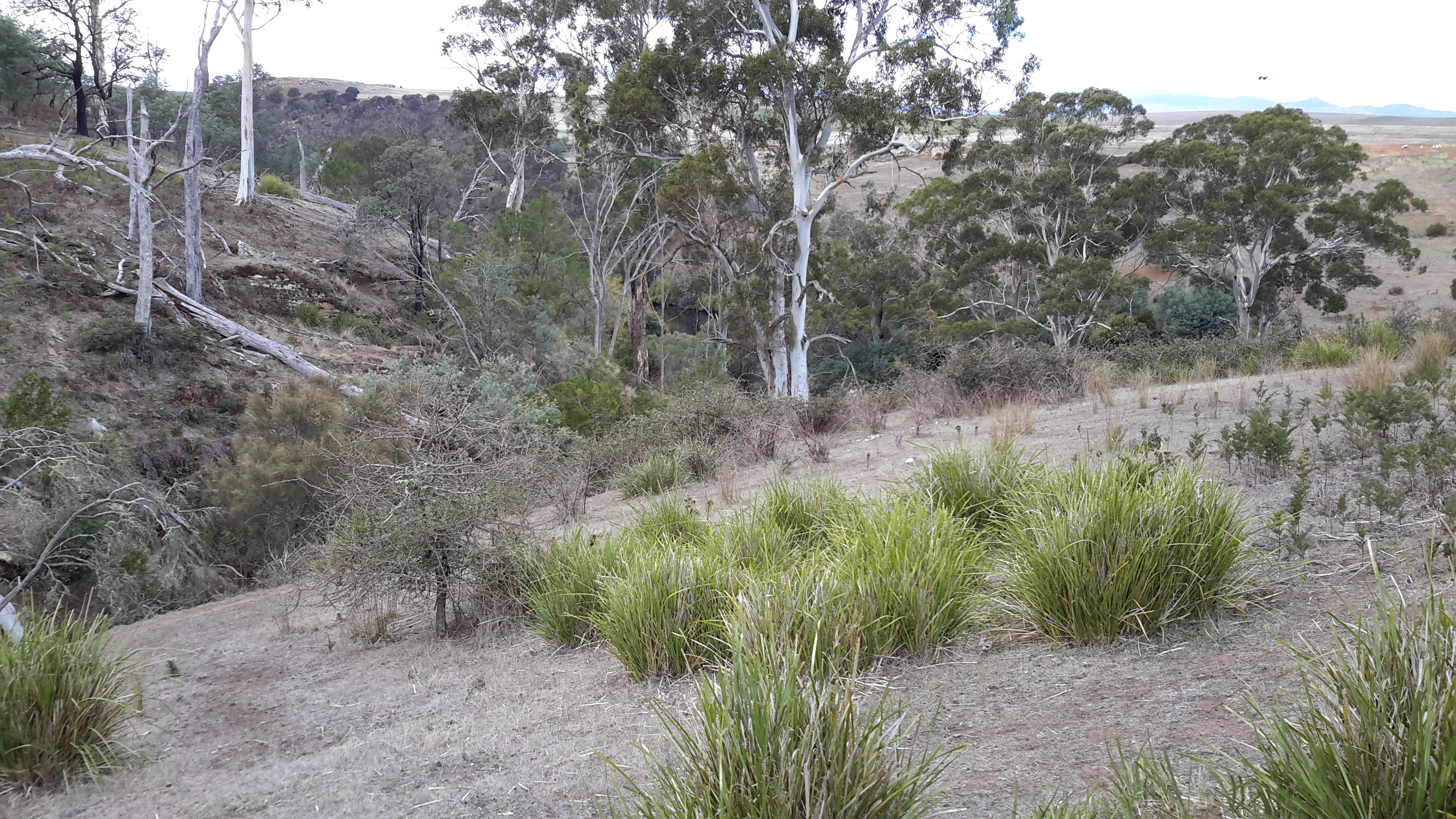
The farthest inland stages of my walk are easily defined.  I walked from near the township of Tarraleah besides Canal 1 (along which is transported Derwent River water) above the actual River bed, past Clark Dam, and around majestic Lake King William to the township of Derwent Bridge.  From there I followed the river to its source at St Clair Lagoon dam.  In case some people believe the source of the Derwent is further inland, I walked onwards to the weir where the Derwent Basin empties into the St Clair Lagoon via passing the southern end of Lake St Clair.

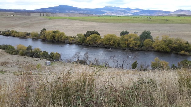
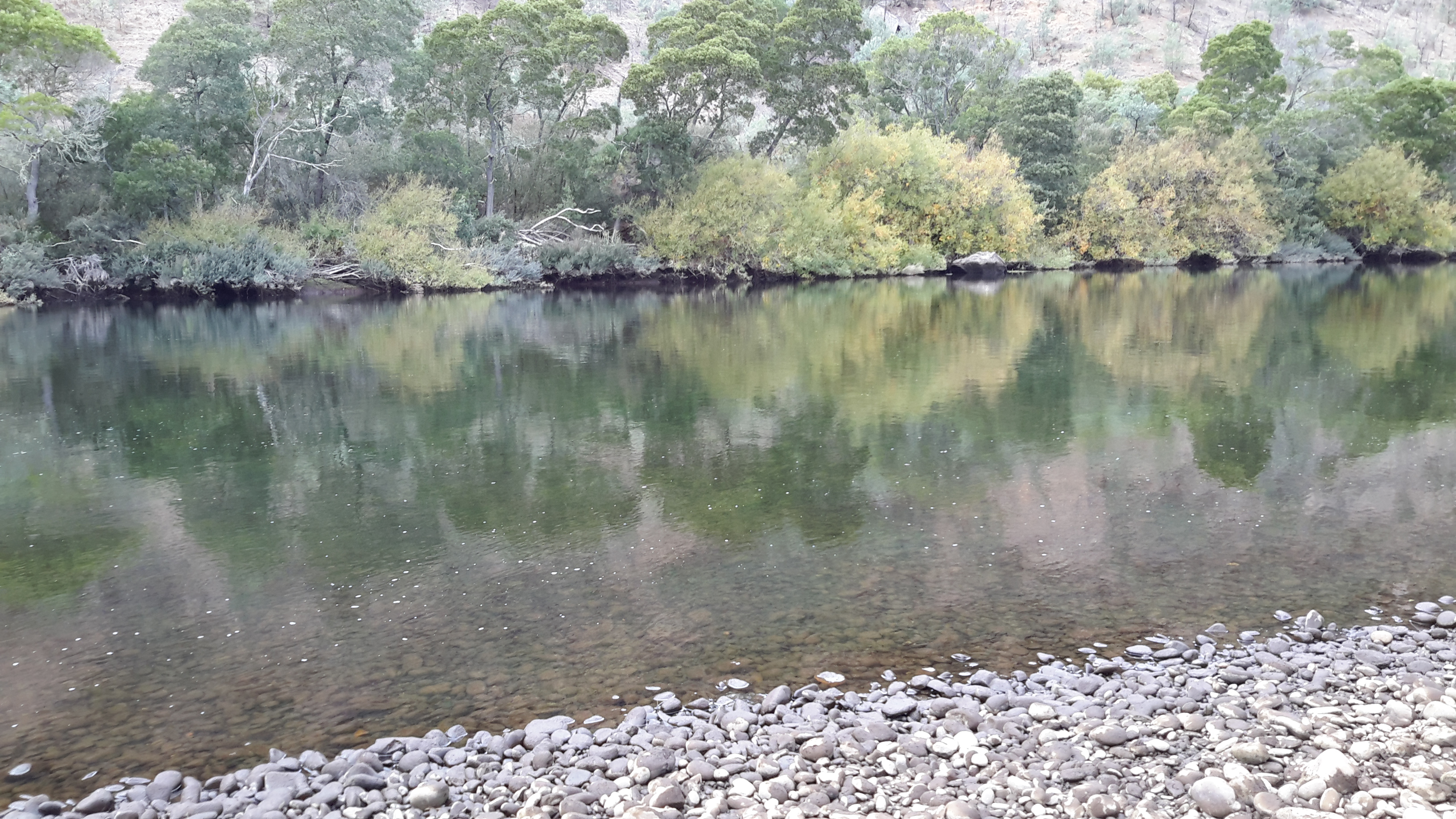
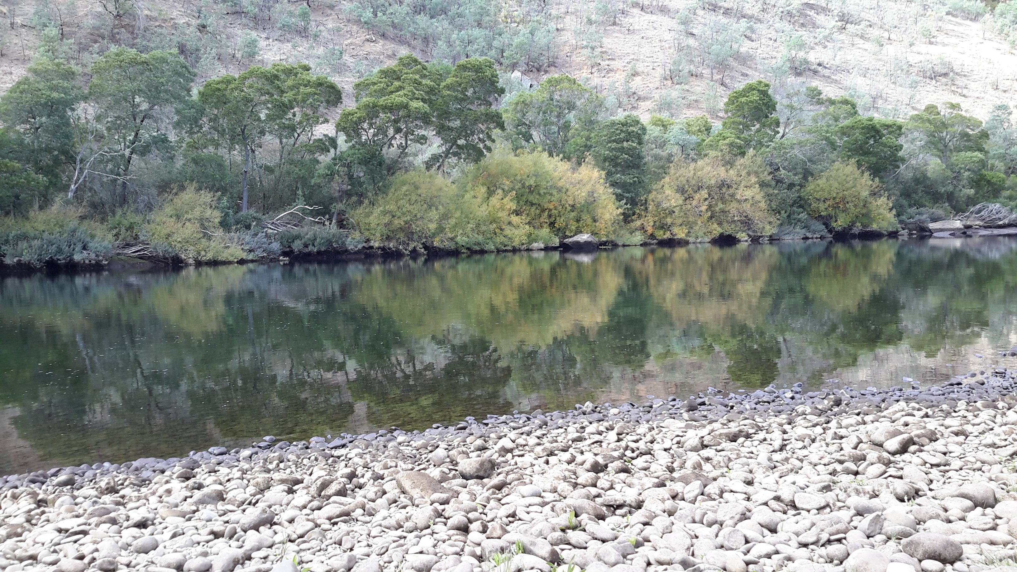
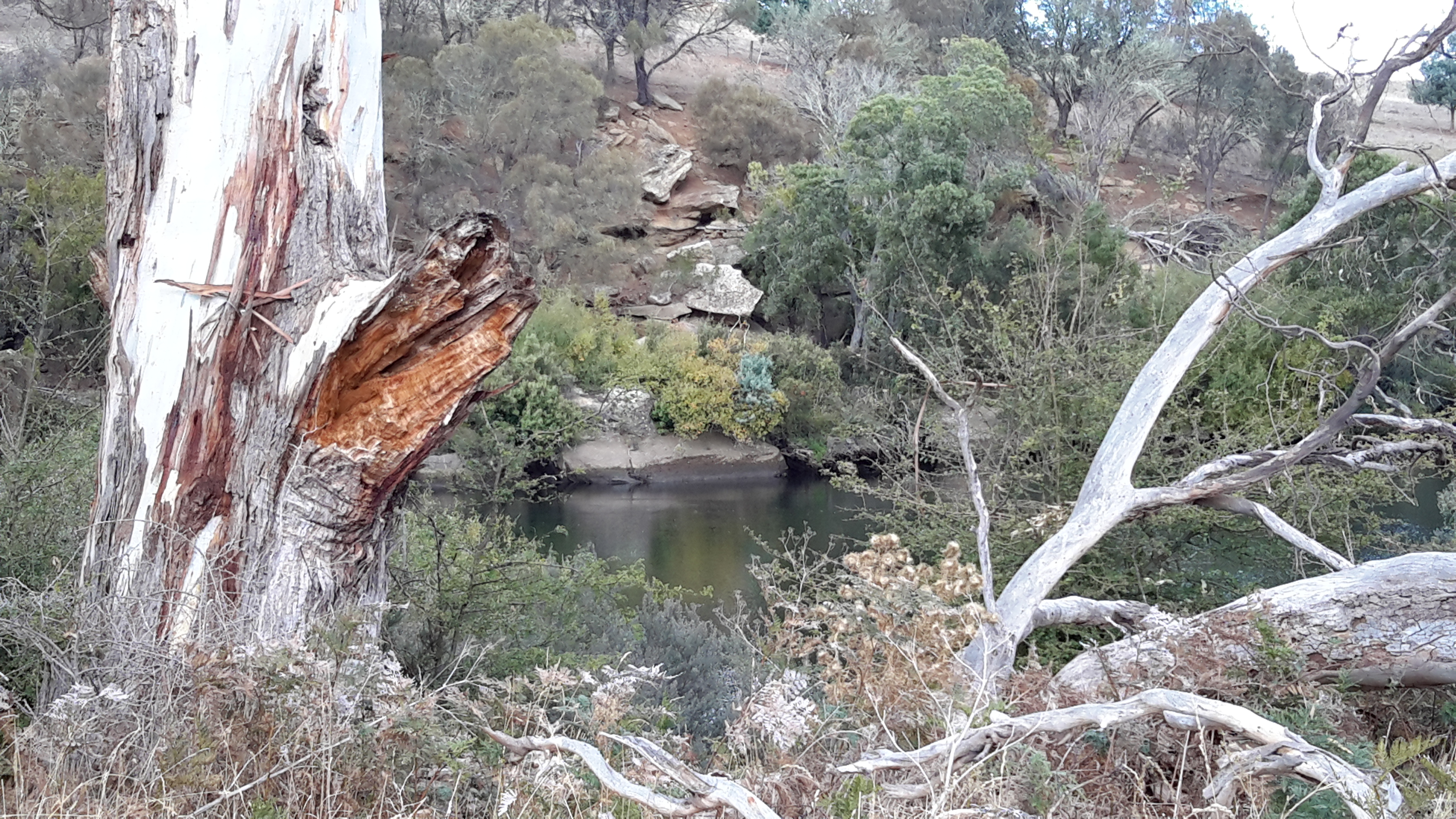
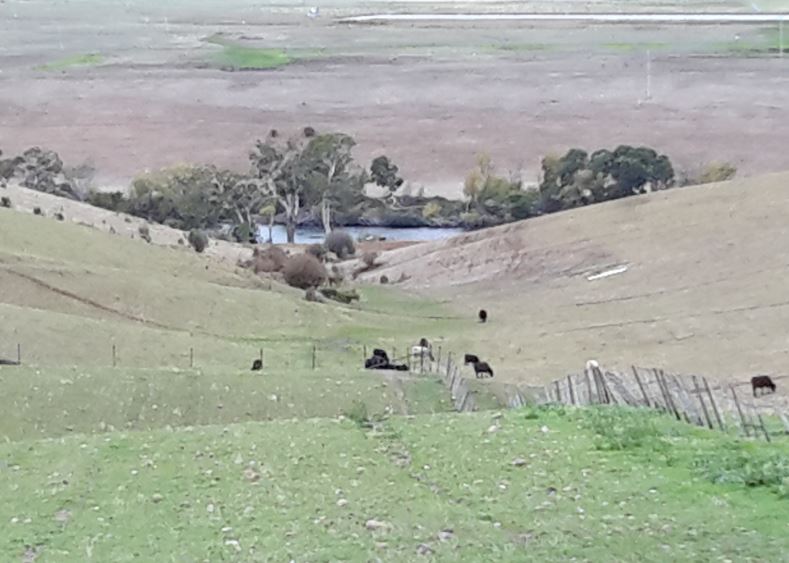
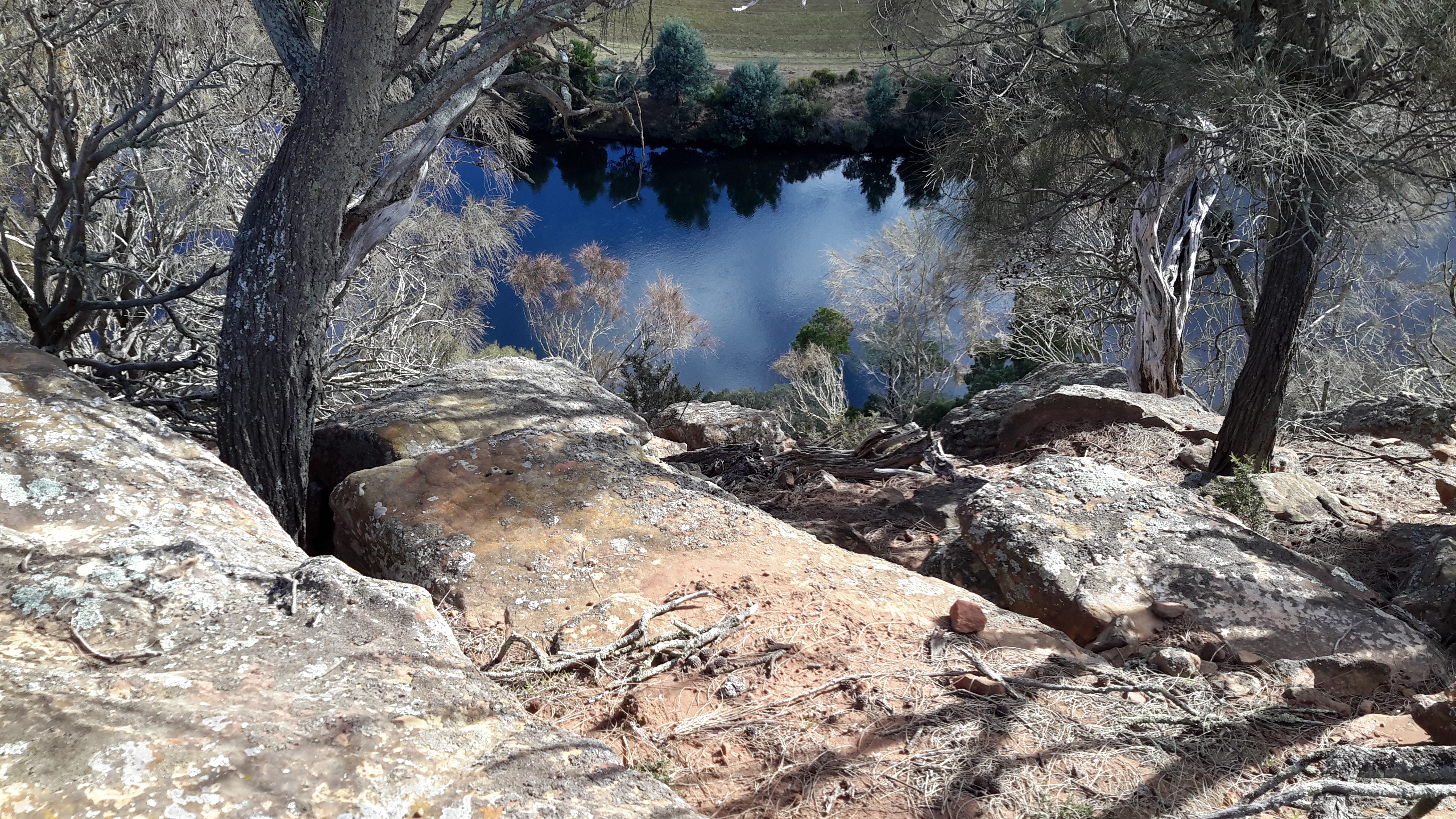
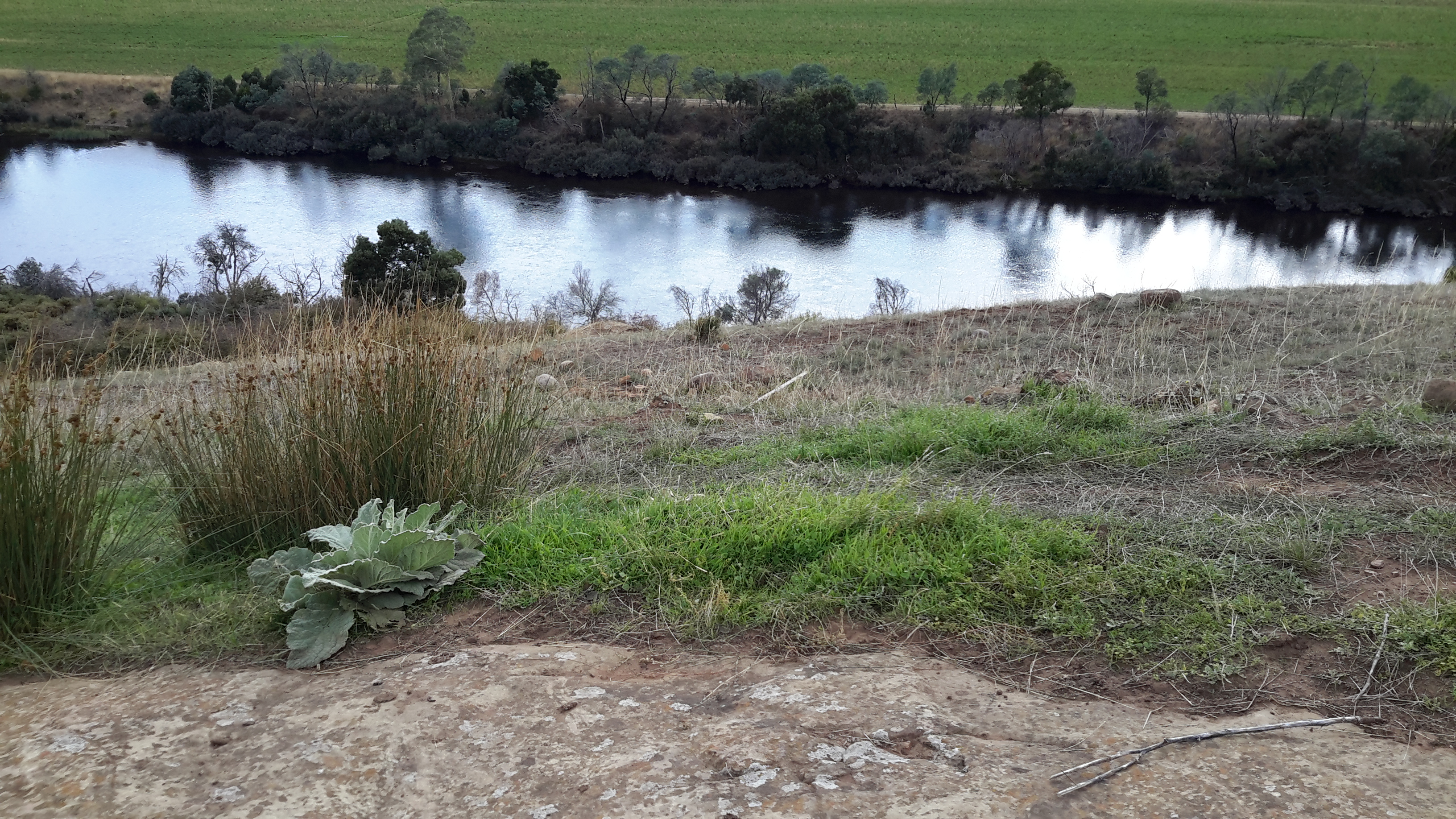
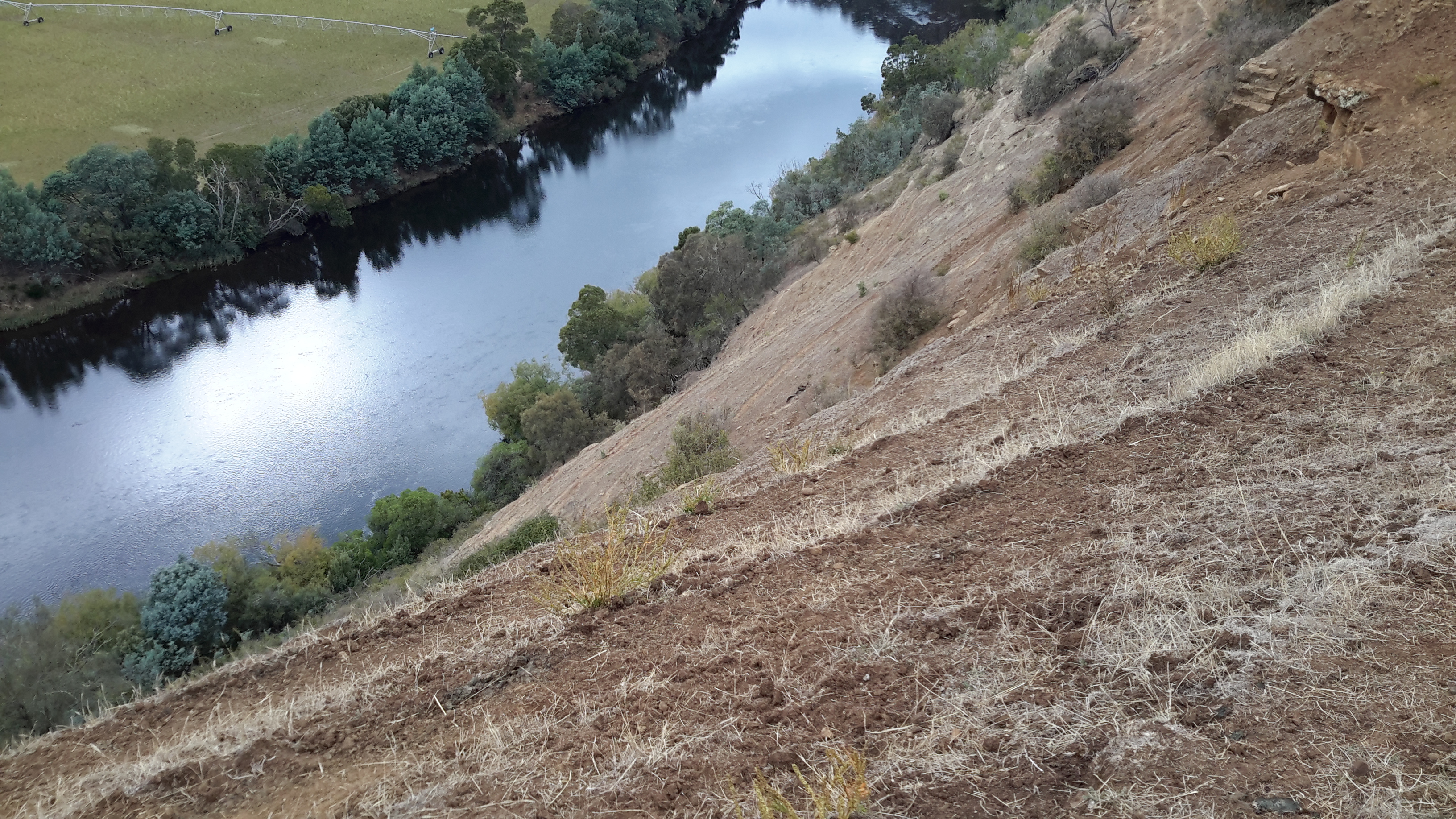
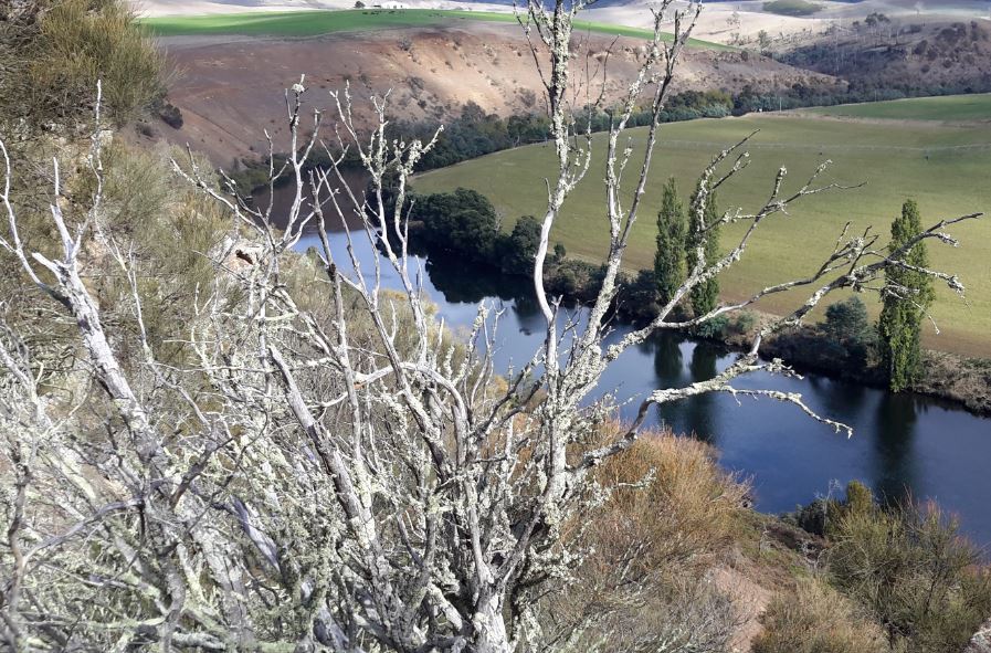
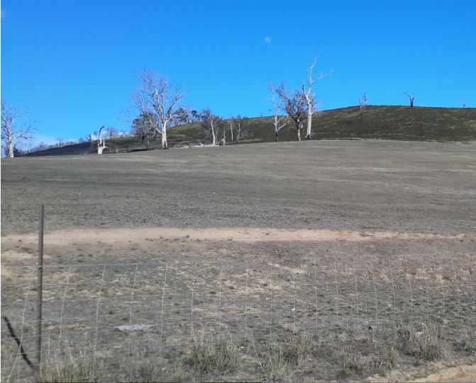
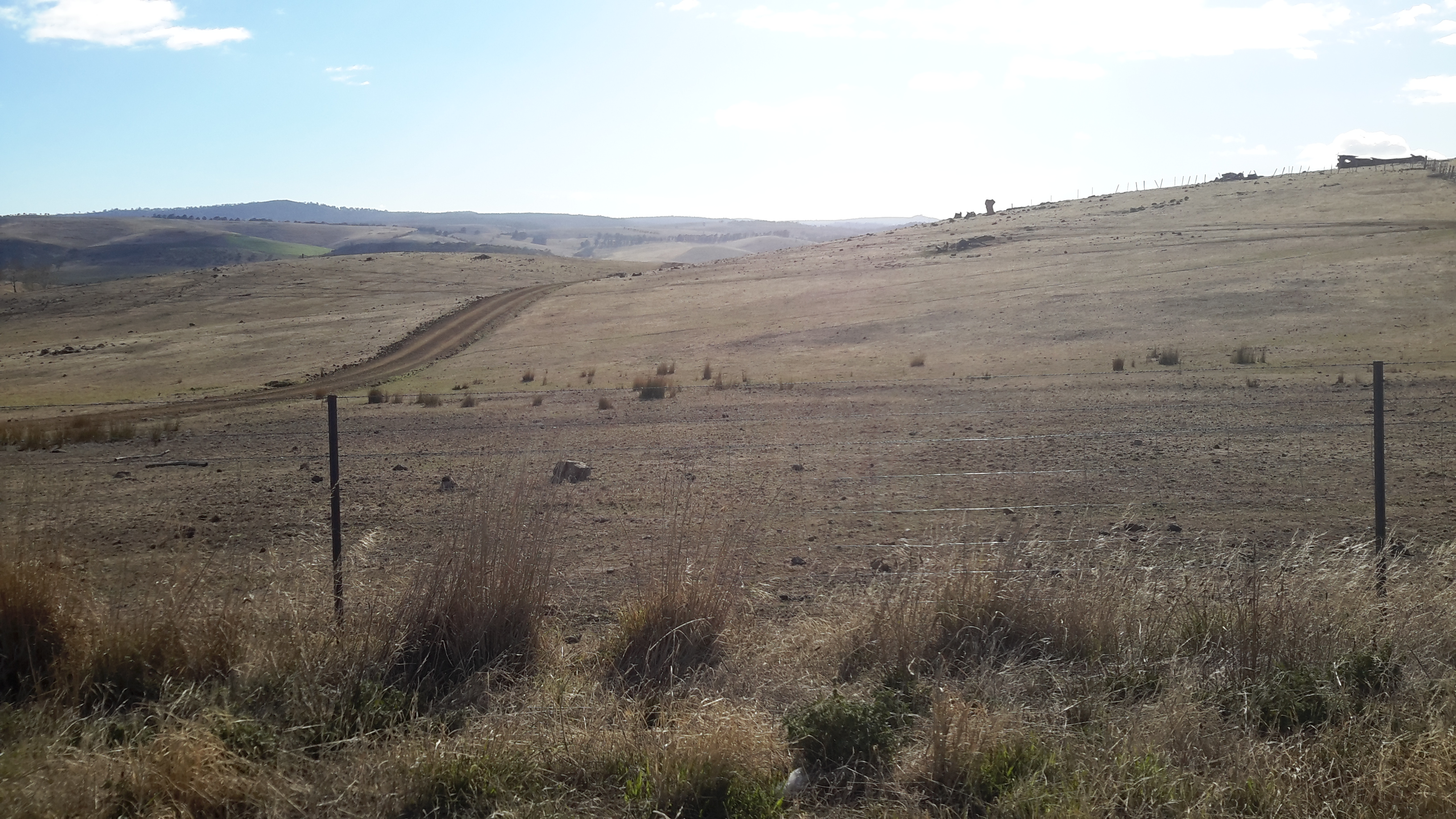
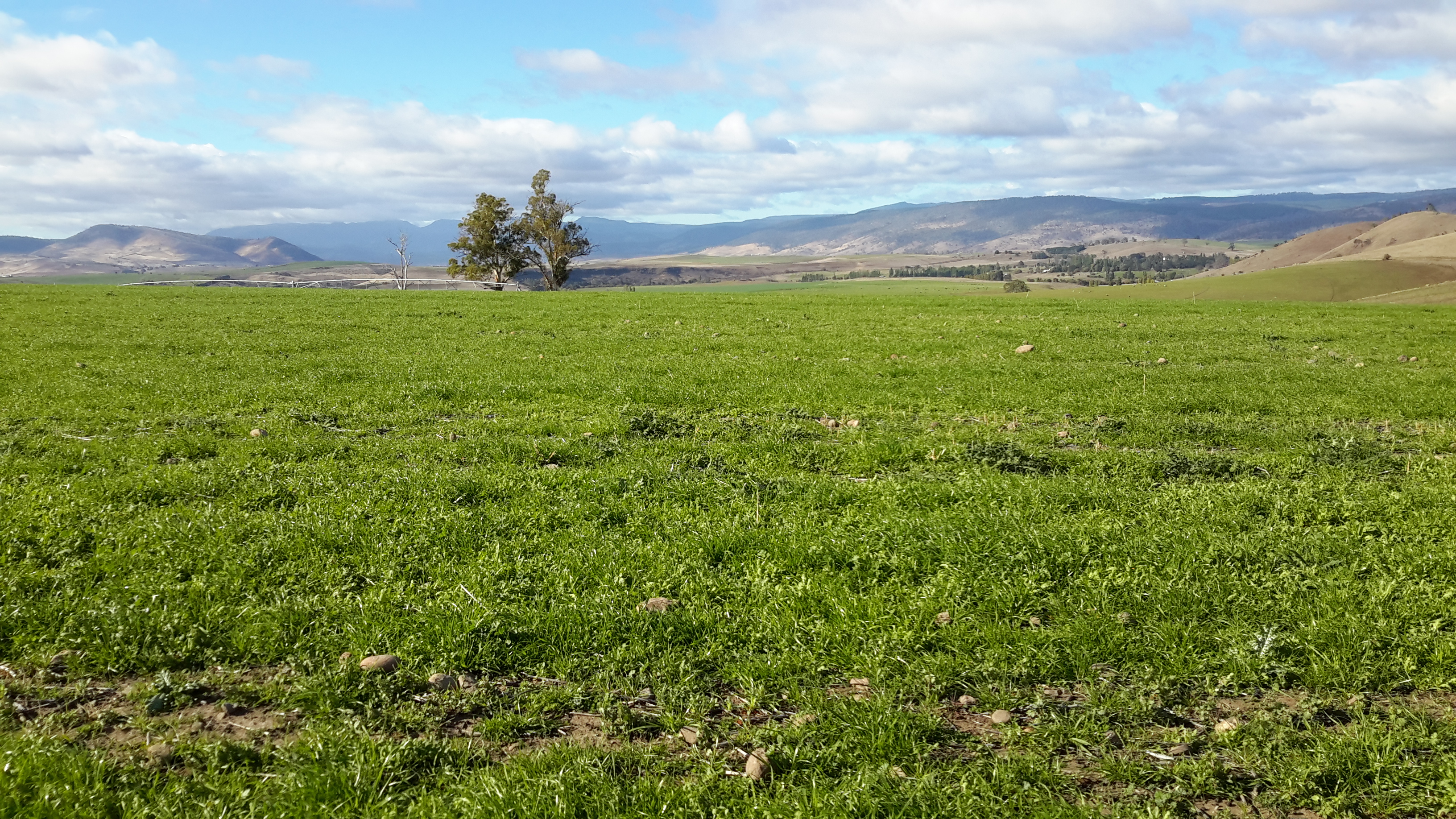
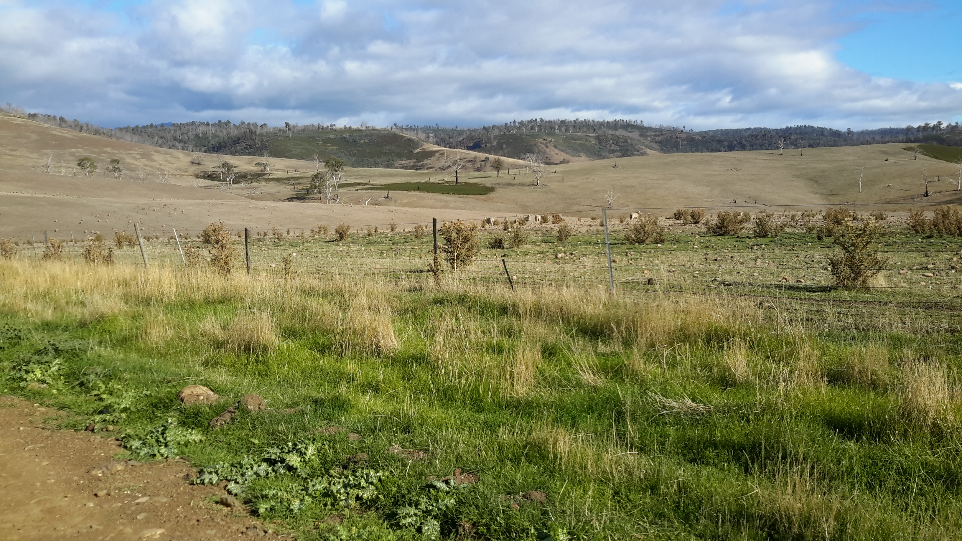
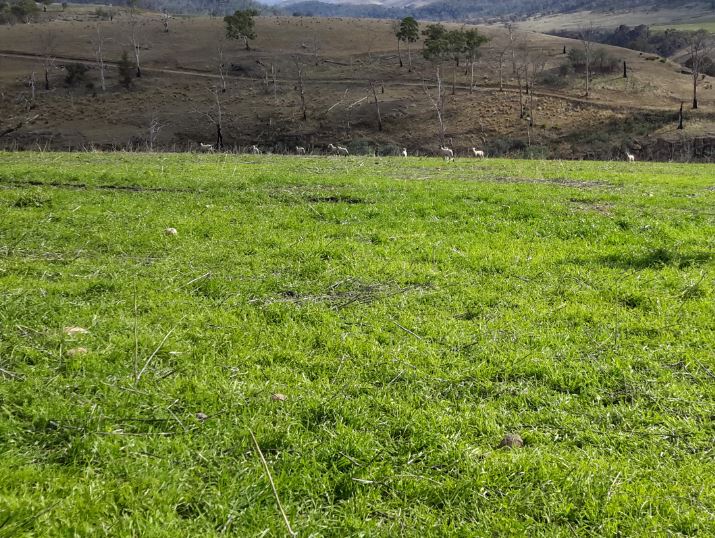
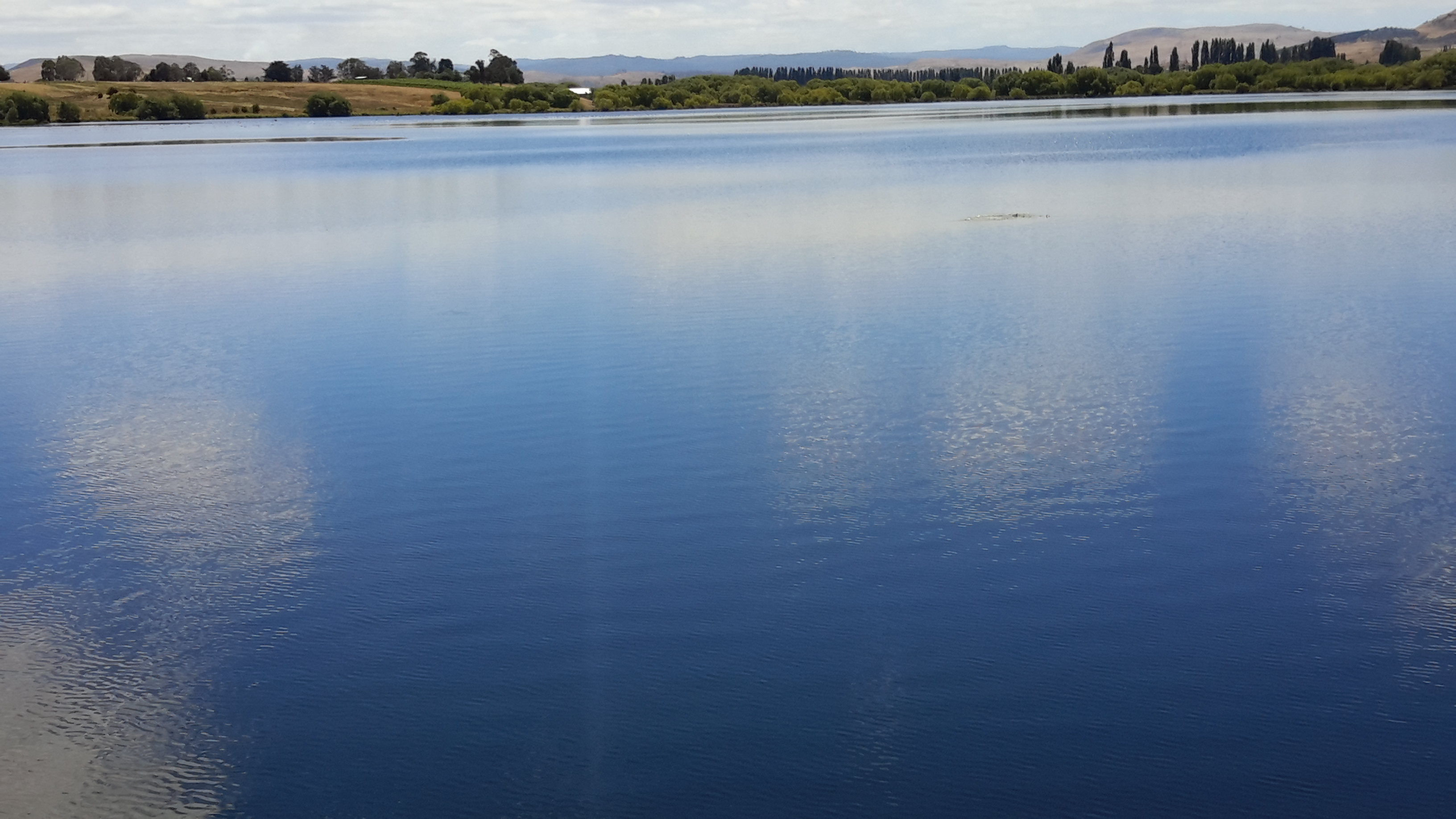
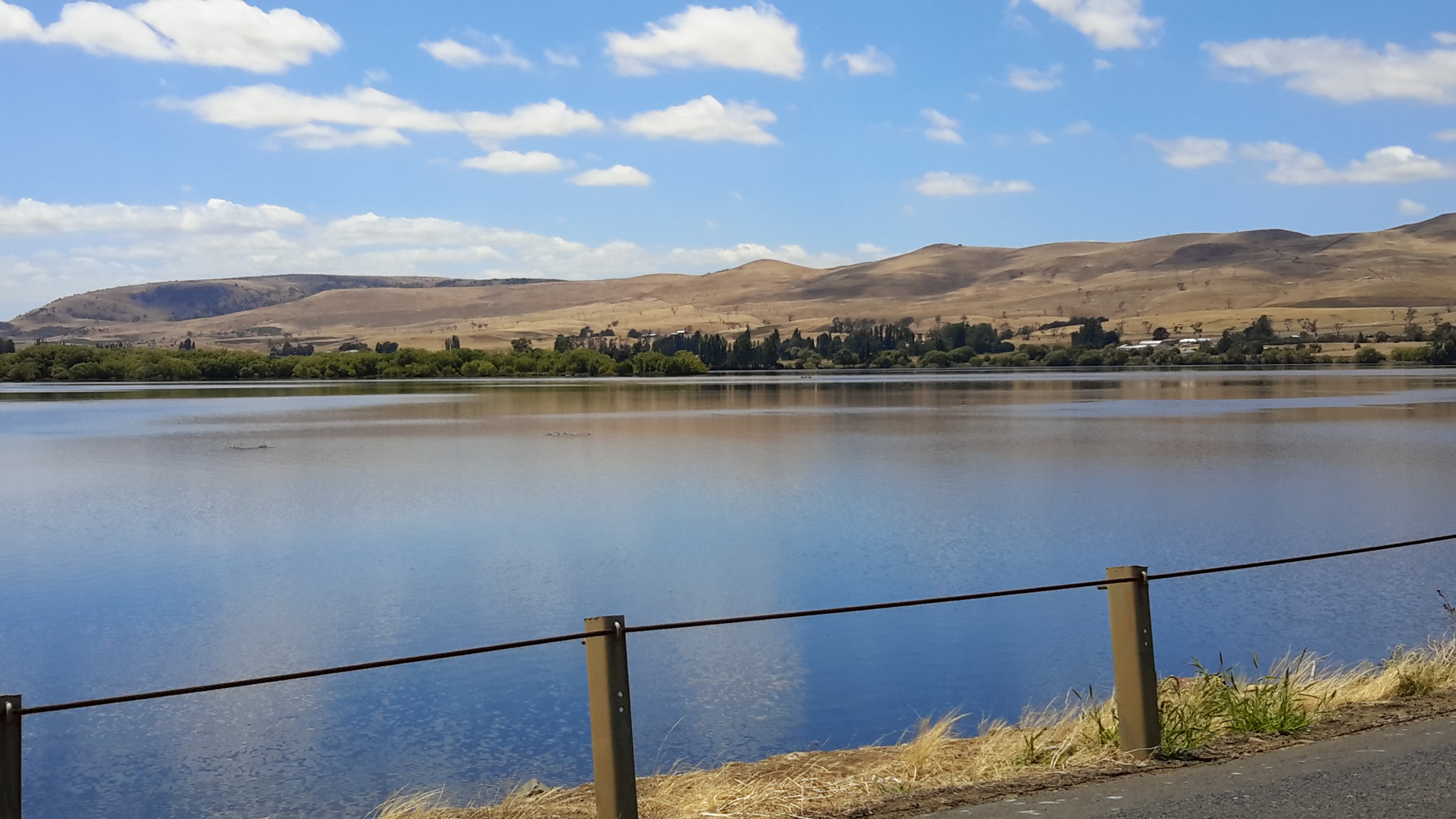
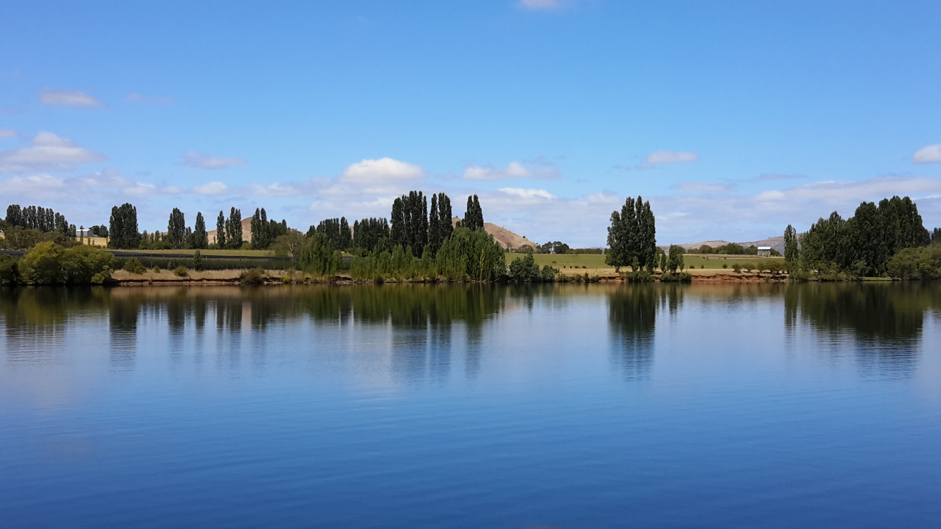
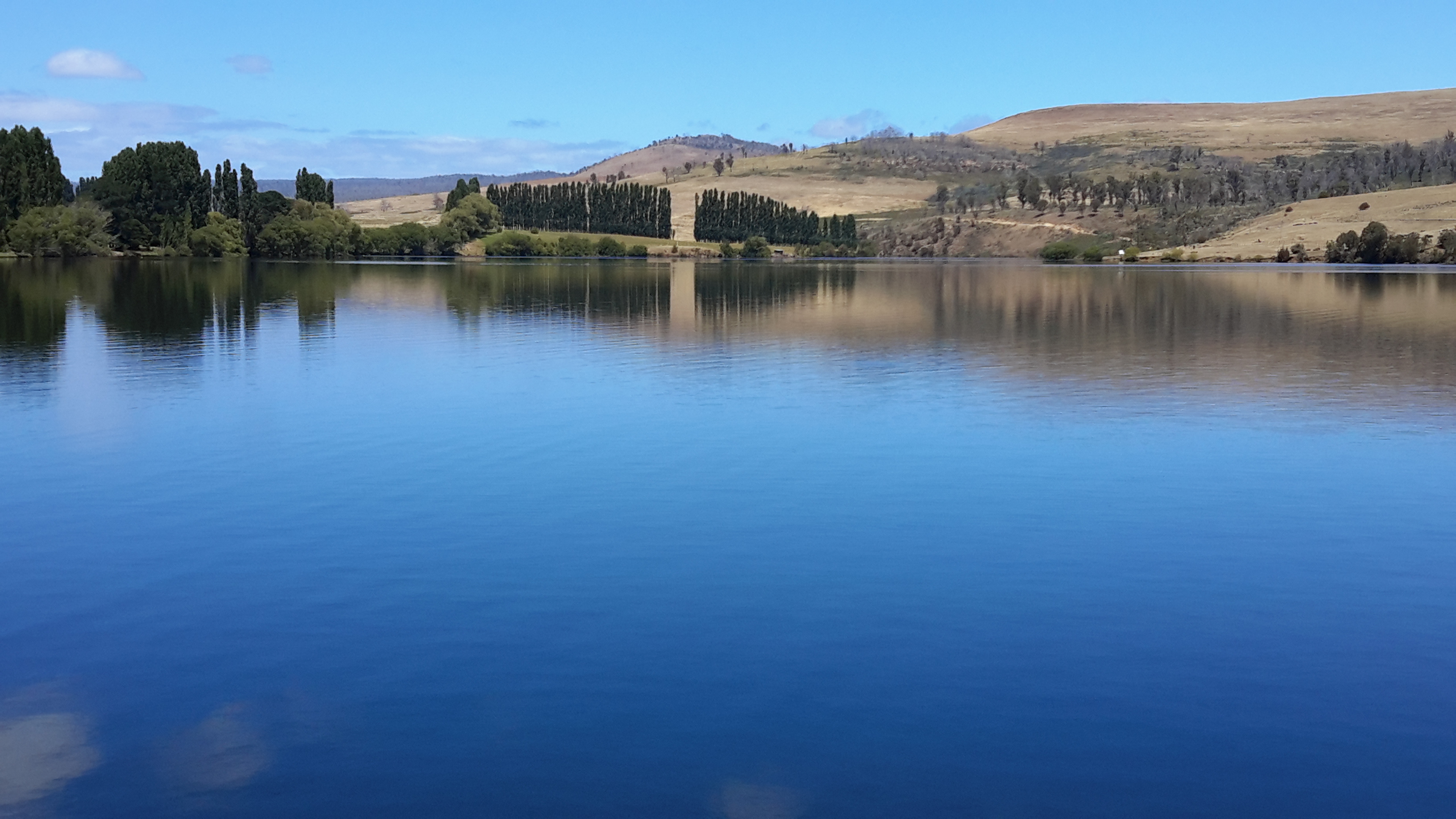
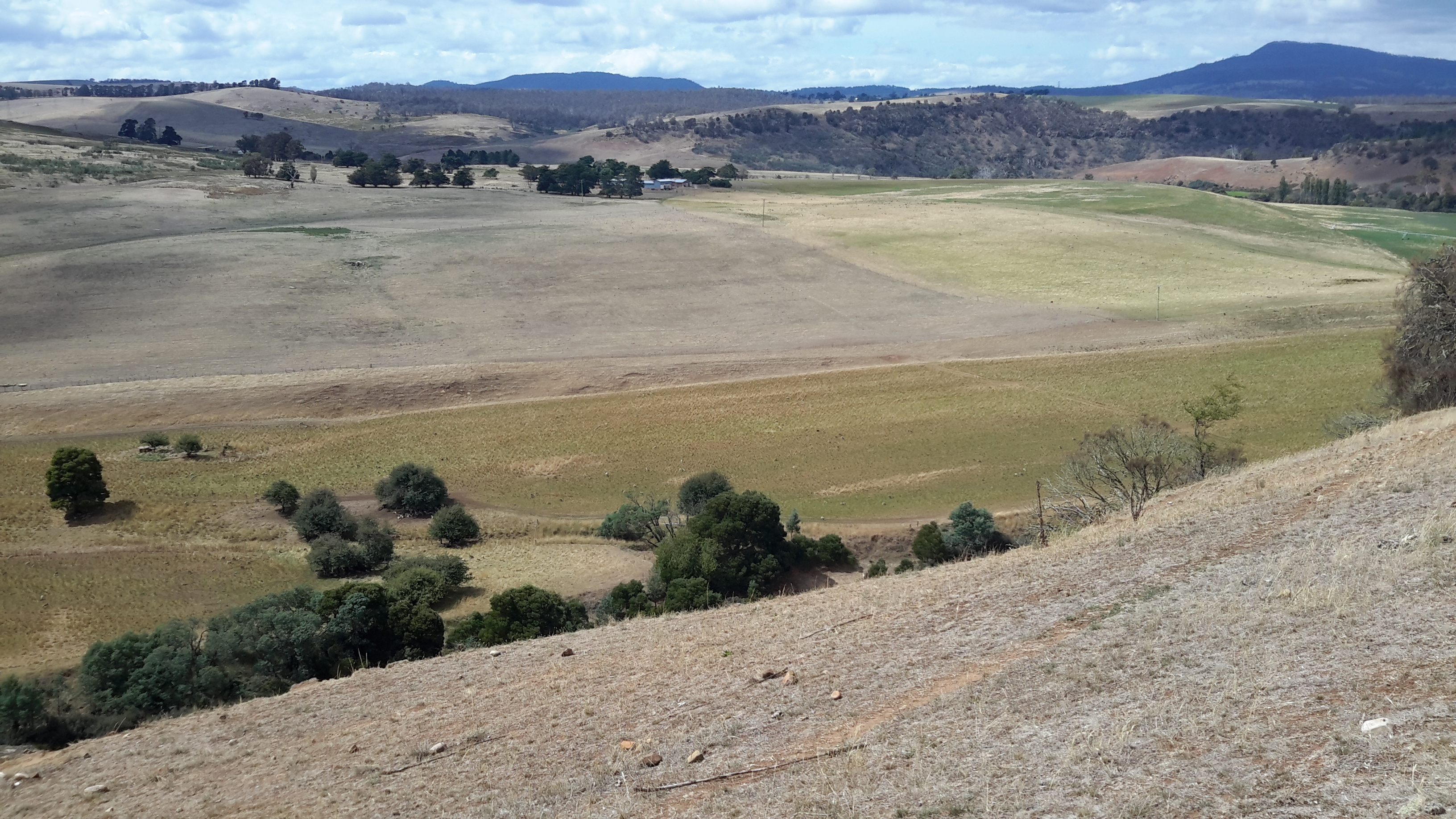
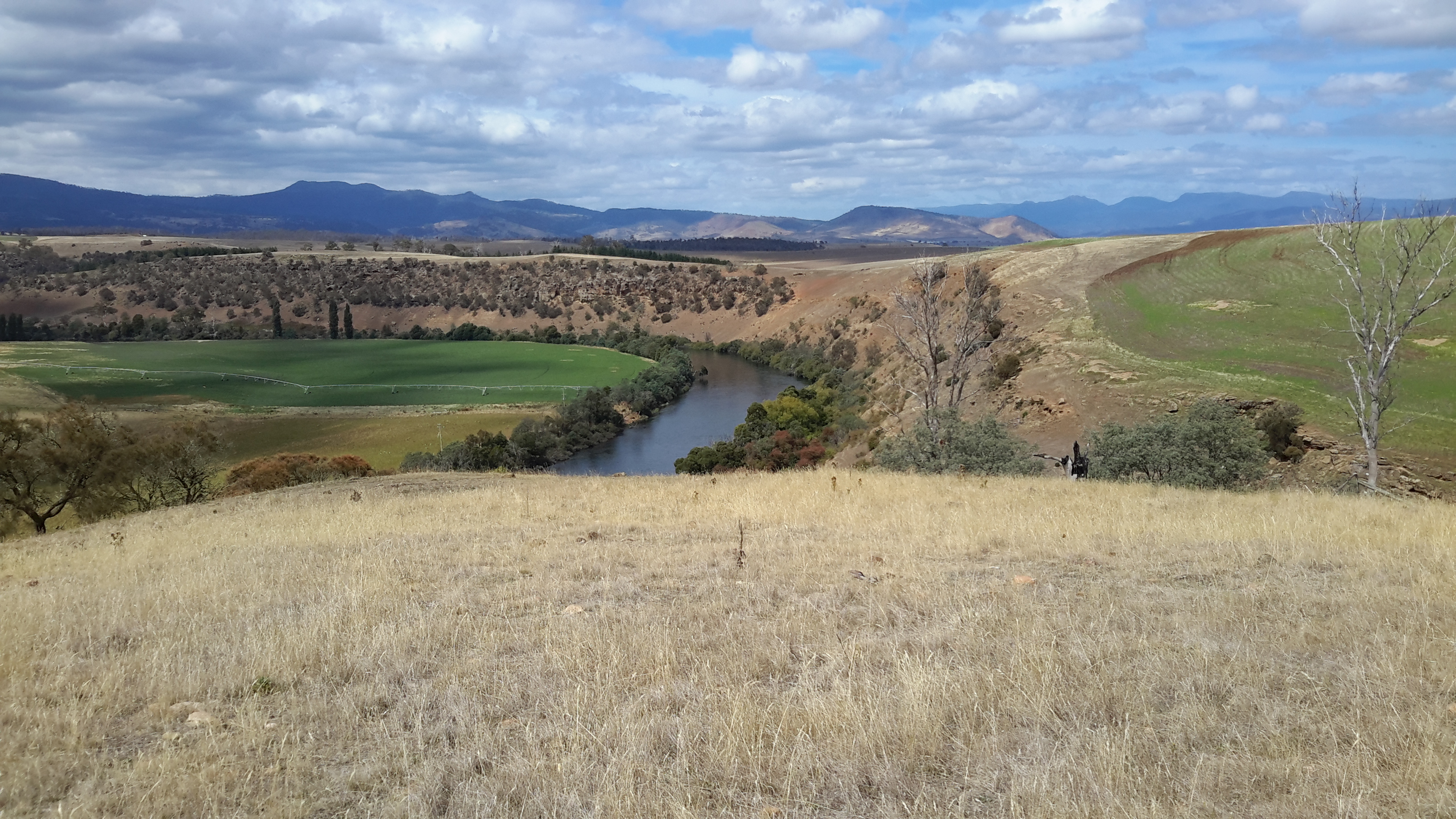
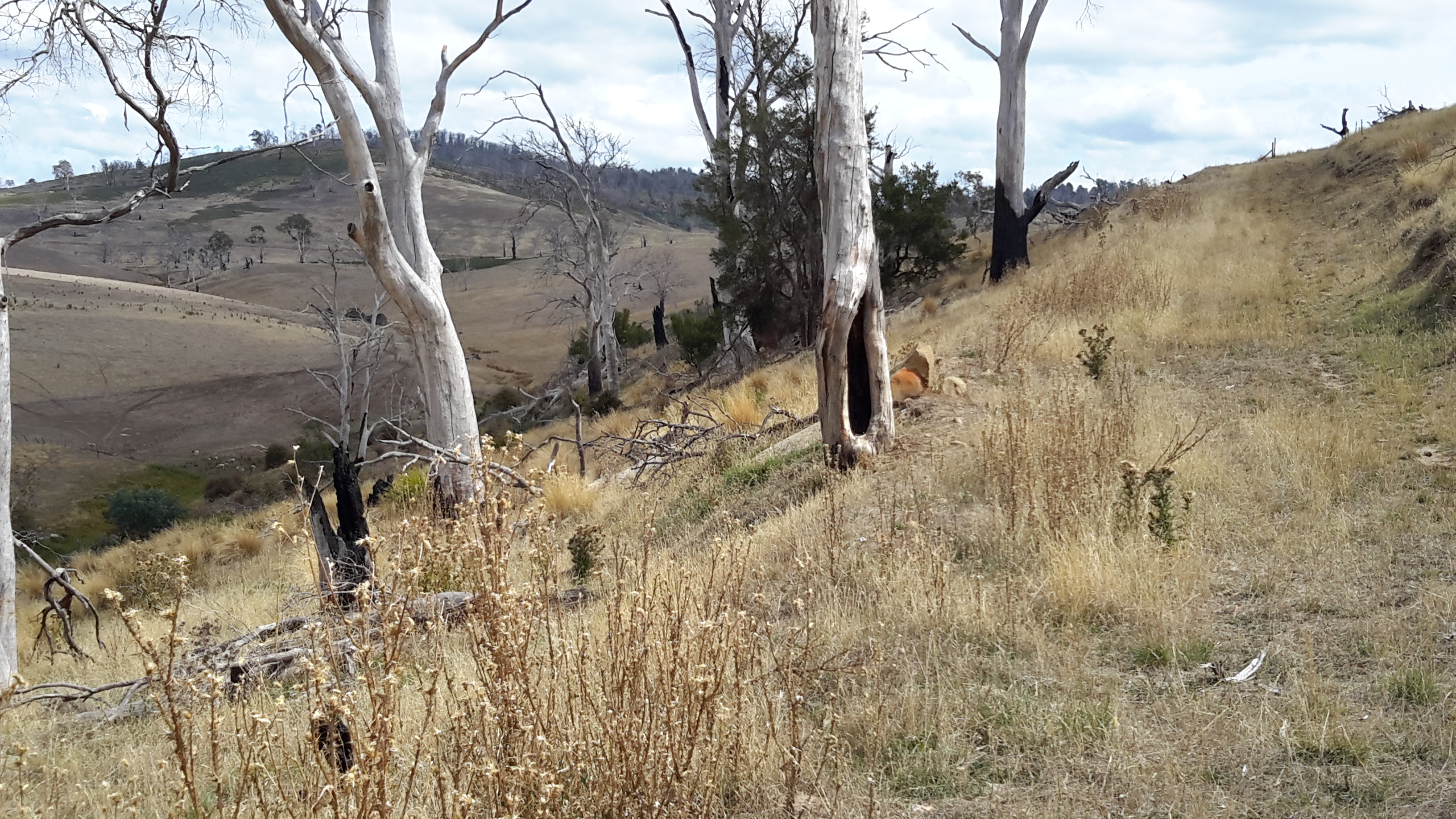
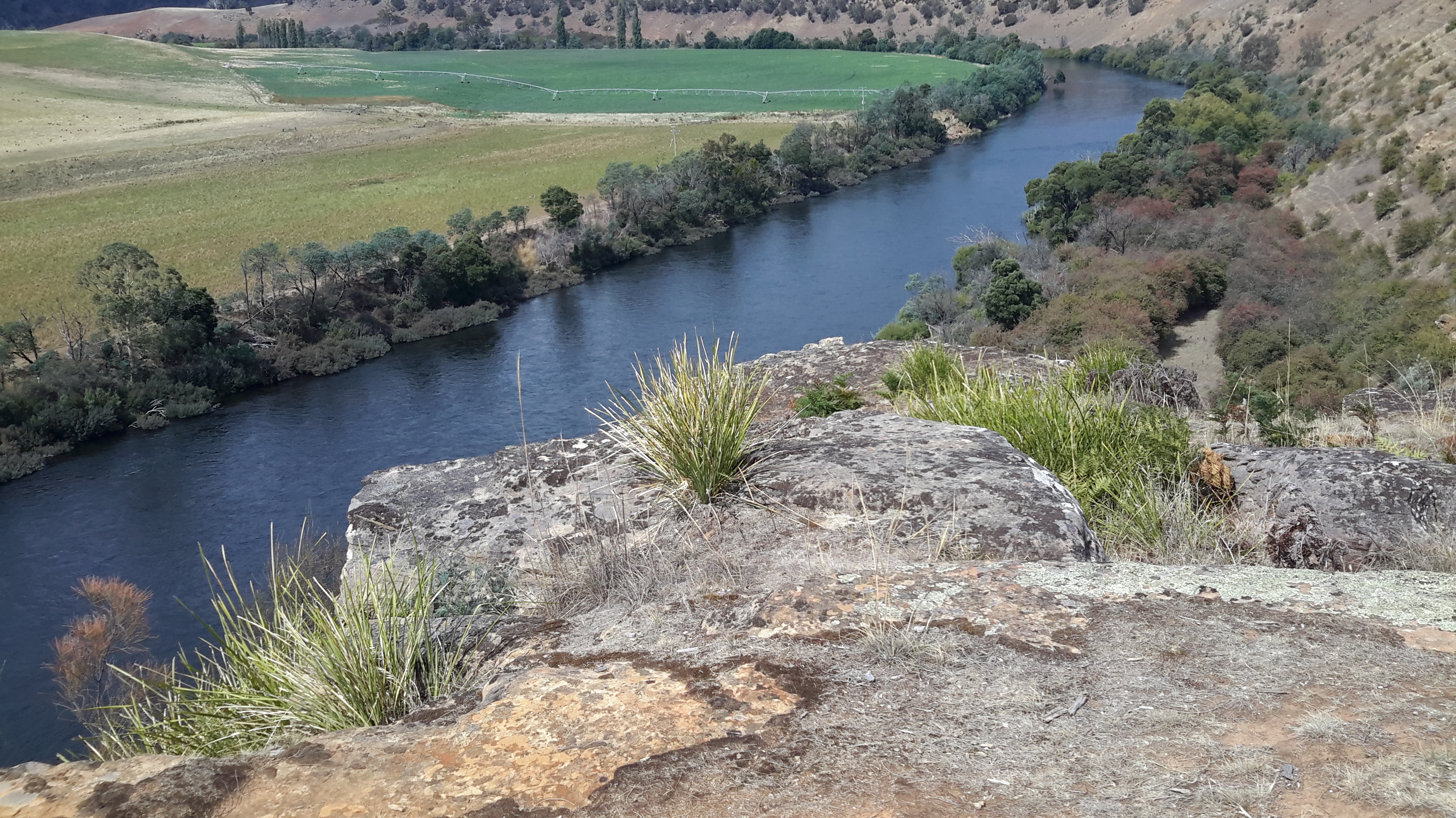
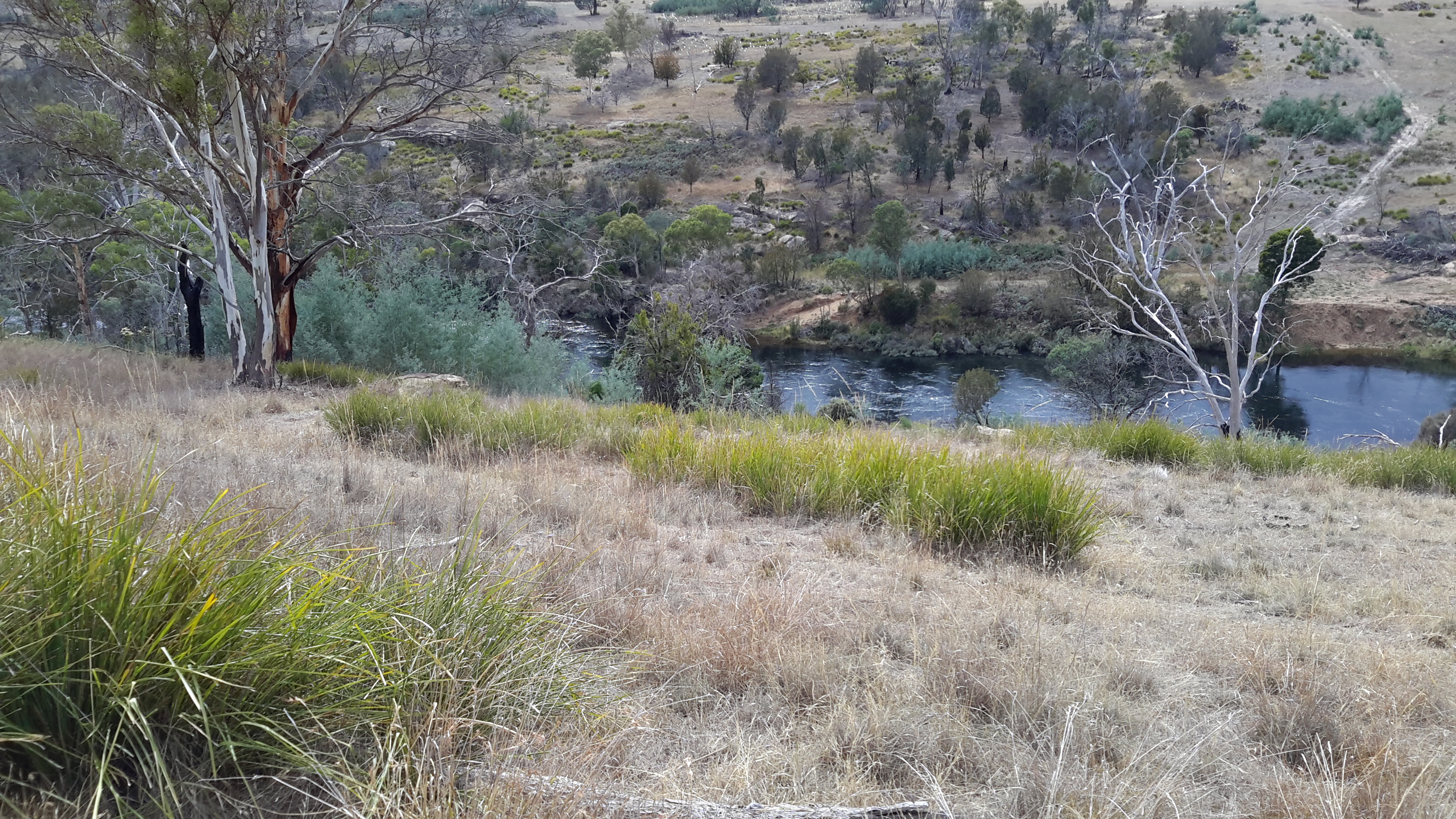
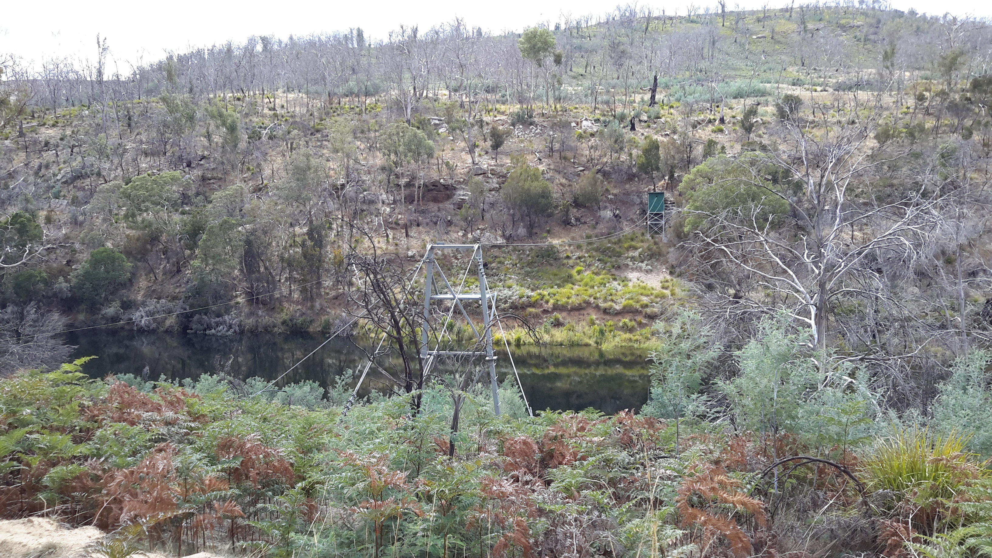
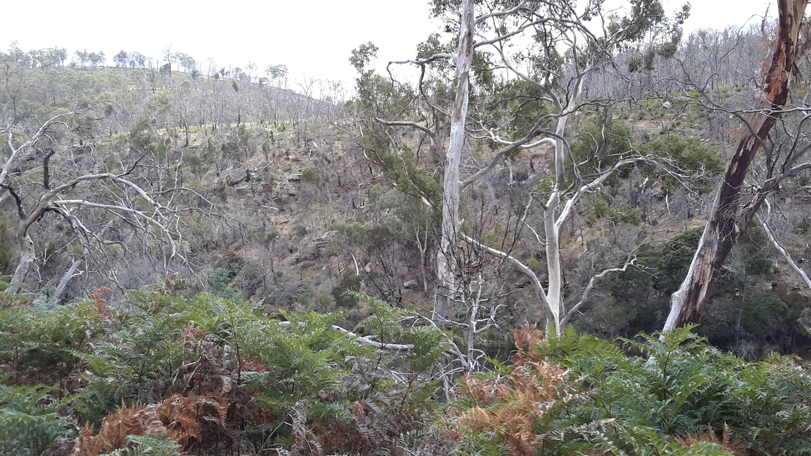
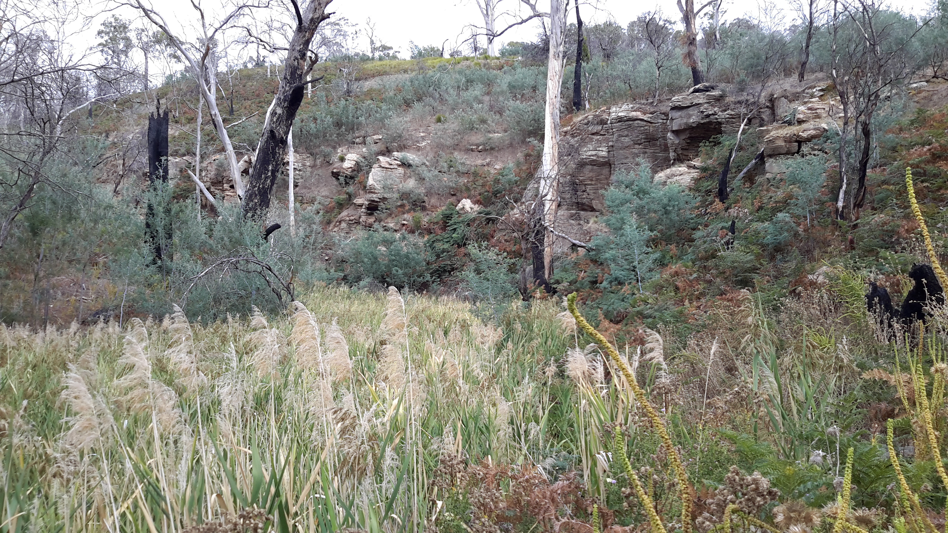
Between New Norfolk and the area near  Tarraleah, my walk beside the River was in country near  townships (some of which were located at a great distance from the River) such as Bushy Park, Gretna, Hamilton, Ouse, and Wayatinah.  This necessitated additional travel to or from the highway and roads, on which these towns exist, to reach the river or to return home from a walk along the river.

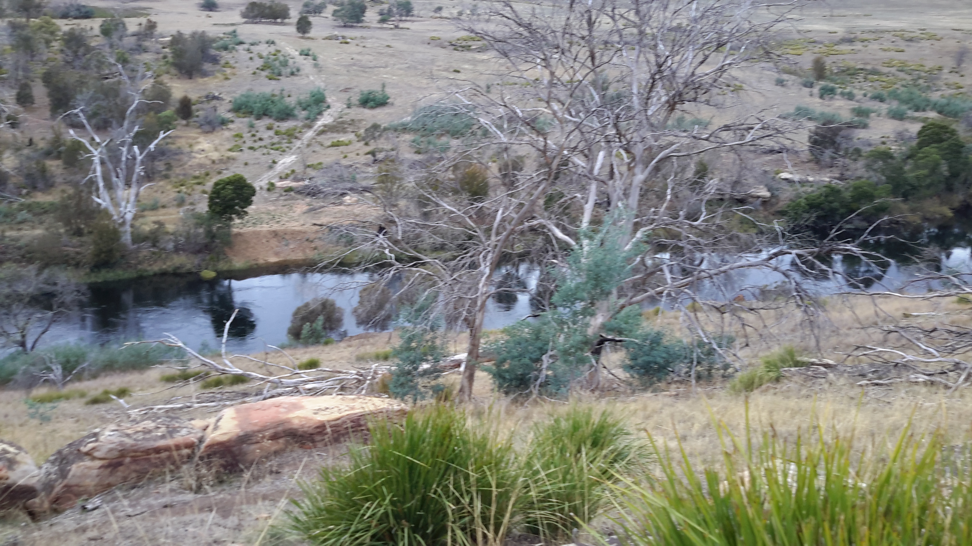
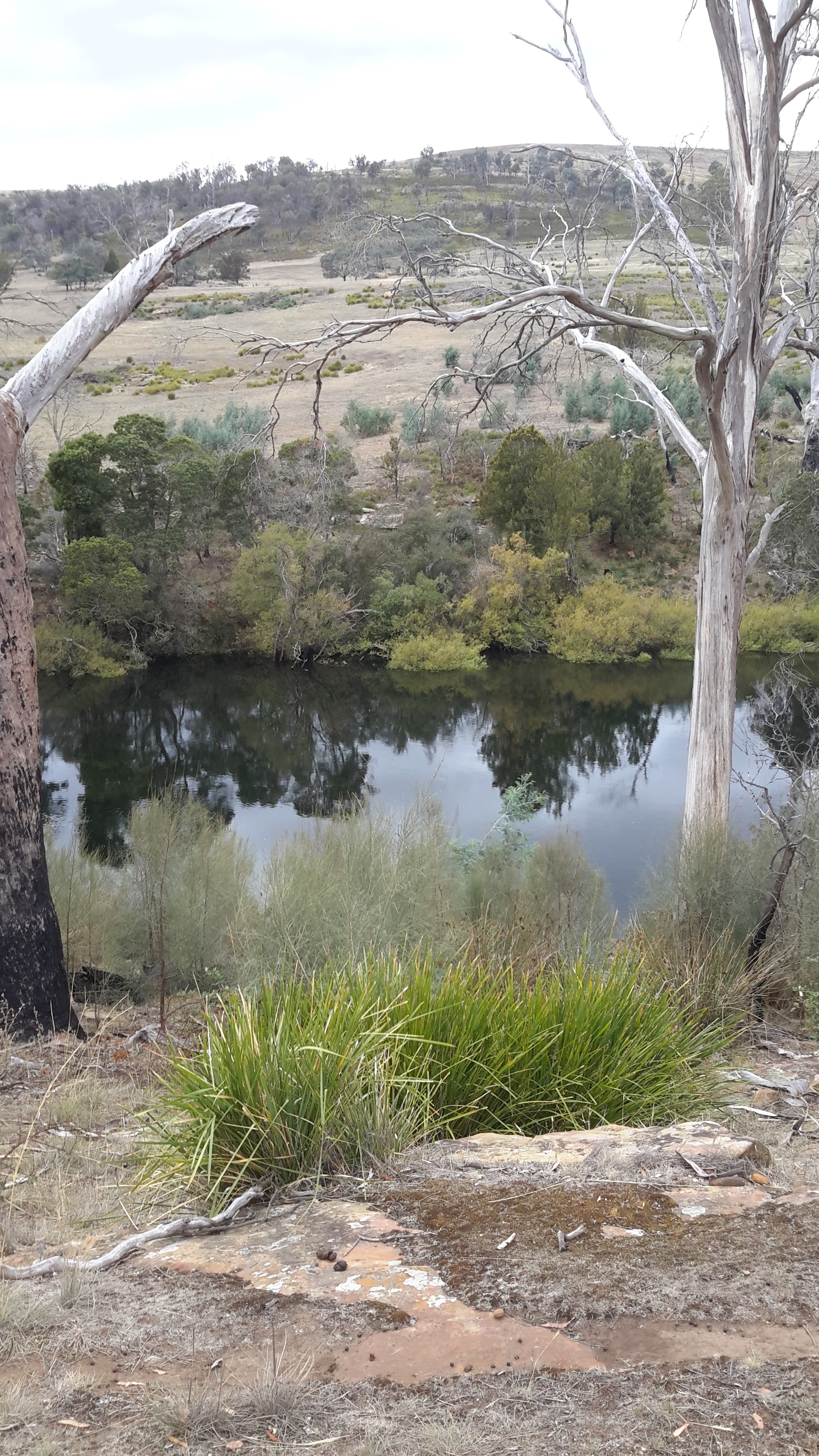
Inland, the water of the Derwent River is controlled by dams constructed to create hydro-electricity for Tasmania: I walked past them all. From the end of the river closest to the mouth, these are the Meadowbank, Cluny, Repulse, Catagunya, Wayatinah, Clark and St Clair Lagoon dams.  Each of these has a bank of water behind them:  Meadowbank Lake, Cluny Lagoon, Lake Repulse, Lake Catagunya, Wayatinah Lagoon, Lake King William and St Clair Lagoon.  Most of these dams and bodies of water has a power station: Meadowbank Power Station, Cluny Power Station, Repulse Power Station, Catagunya Power Station, Wayatinah Power Station and Butlers Gorge Power Station.  I was privileged to be shown around one of these power stations during one walk.

Water from the Derwent passes through two other power stations:  Nieterana mini hydro and the Liapootah Power Station.  I did not follow the trail of these Derwent River managed flows.  The water from other locations inland passes through the Lake Echo Power station and Tungatinah Power Station then flows into the Derwent after power generation, thereby increasing the volume of water flowing downstream.  I did not walk along these feeder rivers.

The few stages of the walks which have not been recorded in this blog, are in all the zone between Gretna and the area near Tarraleah – a stretch of perhaps  120 km.  I have written up and posted most of the walks in this zone, and now it’s time to add the missing sections.

Celebrating 200 years of ferries on the Derwent River

The Eastern Shore Sun newspaper for December 2016 provided a community news story which added to the knowledge of the history of ferries plying Derwent River waters.  Turn to Page 11 for the full story and photo.

Two hundred years ago the first licenced ferry travelled from the fledgling township of Hobart across to the eastern shore to a place very close to where I live. The landscape would have been so different; trees would have covered the area where my house now stands.  I wonder if the weather was as warm and pleasant as it has been in the past few weeks around the Greater Hobart area – even exceeding 30 degrees.  Wind is a constant across Tasmania, and the early ferries would have needed skilled personnel to bring their craft safely across the expanse of water and into moorings – especially considering the fact that early vessels were rowed across the river.

Earlier postings on my blog introduced some information about the Derwent ferries, and this latest article supplements what I have offered previously.  While you can search the blog for many posts that mention ferries,  key posts are Ferries on the Derwent River and Historic Granton Tasmania .

Where did the name Tarraleah come from?


According to websites, site 1 and site 2, the name ‘tarraleah’ is the local Lairmairrener Aboriginal word for the Forester Kangaroo.  The Lairmairrener language was spoken by Teen Toomele Menennye (Big River) kinship groups who lived in central Tasmania and further afield.

There is nothing about the township of Tarraleah that has ever made me connect it with our Kangaroo – it has always been firmly imprinted on my mind as a town created only to support the expansion of hydroelectric power.  I wonder how prolific this Kangaroo was in central Tasmania at the time of naming the town; whether the word ‘tarraleah’ was used by white developers loosely without care for accuracy in location.

These days the area of central Tasmania near the Derwent River, where uncleared, often consists of very dense rain forests and I doubt this environment is one easily accessible for the large Forester Kangaroo. Their preference is for more open temperate forests.  Of course 10,000 years ago, the vegetation was different. The last Ice age generally caused much aridity across Australia so I assume the vegetation would have been comparatively open in the area where the township of Tarraleah now stands. Members of our aboriginal communities may possess stories passed down through the millennia about ‘tarraleah’ in this part of Teen Toomele Menennye country.

The National Museum of Australia notes  Bass Strait was not always a strait (of water). It used to be a plain populated by Indigenous peoples who moved back and forth between what we now call Victoria and Tasmania. The first humans arrived in Tasmania around 40,000 years ago. About 30,000 years ago an ice age began, which caused sea levels to drop about 120 metres and created a continuous land mass that stretched between Papua New Guinea and Tasmania. When the ice melted – a process estimated to have taken 6000 years – Bass Strait formed and became an almost impassable barrier by about 12,000 years ago.”

The Australian government explains the Forester Kangaroo, “Macropus giganteus tasmaniensis is recognised as the Tasmanian subspecies of the Eastern Grey Kangaroo, Macropus giganteus, which is widespread throughout the eastern Australian mainland. The subspecies status of the Forester Kangaroo is based on differences in its skull and coat from the mainland population and its isolation in Tasmania for at least the last 10 000 to 15 000 years. Studies indicate that there is less than 1% difference in the mitochondrial DNA between the mainland Eastern Grey Kangaroo and the Forester Kangaroo.”

Tasmania’s Parks and Wildlife Service explains the Forester Kangaroo “is the largest marsupial in Tasmania and the second largest in the world – males can reach over 60 kg and, when literally on tippy toes, stand 2 m tall! Colour varies from light brownish grey to grey. In Tasmania during the 1950s and 60s, the population of Forester kangaroos was reduced to 15% of its previous level.”  Tasmania’s Department of Primary Industries, Parks, Water and Environment  reports “By the early 1900s, as a result of unsustainable levels of hunting (by European settlers in Tasmania) and to a lesser extent land clearance, the species was in serious decline. By 1970, Forester Kangaroos were to be found in only two areas; parts of the Midlands and the far north-east of Tasmania. This was less than 10% of its range at the time of European settlementSince then a number of measures have been implemented to reverse this trend.”