Category Archives: Tasmania

Cluan

20150917_142801

Built around 1837 but originally named Charlie’s Hope, Cluan homestead presides over more than two and a half thousand hectares of farmland. Historical information involving new settlers, convicts and smuggling can be read here.

20150917_150100

This property is on the market – see this website and a second website. Put in your expression of interest if you want to live in this beautiful rural setting. The promotional material indicates a private beach on the Derwent River is part of the package. I found the river level was low down on a slippery muddy bank past tall Pampas grass and therefore the river water was inaccessible.  I am not sure where the beach was.

20150917_143111

Plentiful

The views are magnificent around the area centred on the township of Plenty in the Derwent Valley, but at this time of the year the deciduous trees are lacking foliage and there is a grey-greening colour across the landscape. The visuals are comparatively dull.

20150917_130947 20150917_131003

20150917_131517 20150917_132400

Reid’s cherry orchards are the backbone of Plenty. Finally I walked around their most western cleared paddocks.

20150917_131701 20150917_131650

I took a last look at the river before heading towards ‘civilisation’, the railway line and the main road.

20150917_132056 20150917_132216

20150917_135225 20150917_135348

20150917_135833 20150917_135829

Sighted near a private home, I thought the densely flowering Magnolia tree, pictured below, was a rich sensual delight.

20150917_140142

When I reached the railway line over the tiny Plenty River, I looked down and listened to the burbling water flowing into the Derwent River.

20150917_140258

The railway line sleepers over the Plenty River were rotten and impossible to walk over safely, so I exited to the main road, crossed the road bridge and then, through the row of trees on the right in the following photo, I entered a new paddock covered in fruit trees.

20150917_140331

I circled an orchard until I could clamber over a broken barbed wire fence that was squeezed between two poplars. Alas – my new jacket suffered a tear in the process.  Beyond was the trainline.

20150917_141506

Around the corner of the railway line as I walked westwards into the distance, I left Plenty.  The day was overcast and gloomy, and I was walking with a heavy heart because access to the river was impossible.

20150917_142545

Meditation and peacefulness

I find that listening and looking from within the natural environment revives my soul and lifts my spirits. Partly this comes from the rhythm of taking each step, the regular intake and exhaling of breath, and then the quality of the fresh air touching all parts of me.

Here are a couple of small videos I made when skirting around Reids Fruits property.  These offer the sounds that most relax me.

https://vimeo.com/140865664   and https://vimeo.com/140869887

The photographs below show a selection of river views taken as I continued walking around the edge of the Reids Fruits property.

20150917_125210 20150917_125217 20150917_125412 20150917_125820

I kept walking and  soon found the railway line was fenced off close by. As I looked back over the route I had taken, unfamiliar parts of Mount Wellington could be spotted on the horizon.

20150917_130004

While I understand the need for fences, if they were taken away then this place on the river bank near Plenty Tasmania would be truly idyllic.

Culinary beauty

Recently, when I read Livia Day’s A Trifle Dead, I discovered a sub-genre of novels previously unknown to me: culinary crime. Across our planet, a move from selfies to photographing what you eat is trending.  And so many of us think about food all the time and love to see colour on our plates. As a result, I am inspired to take a break from the chronological postings about my last walk and introduce a food which barely has a connection with my walk.

An earlier blog post showed me passing the property Linden.  Over the Derwent River from Linden is the area known as Hayes, made memorable because until 2012 it housed a minimum security farm prison. I was surprised when I strolled through the Bathurst Street Farmers Market recently. A table full of beautiful red cabbage heads lay before me.  When I chatted to the growers, I learned these cabbages were grown on their property which borders the Derwent at Hayes.

Back home, I chopped a salad and prepared to cook a small salmon steak.  Organically grown, delicious, clean and fresh.

20150929_094412 20150929_100320

Fruit trees further than the eye could see

After enjoying the river edge for a short while, I arrived at a demarcation line. From that fence, I could see a tiny portion of 700 acres of cherry orchards before it extended over hills and was lost from my view.  While the fences were impassable an ordinary gate fastener made it easy for me to enter the paddock.

20150917_120701 20150917_120706 20150917_120856

Soon I arrived back at the river edge; in the photo above the river was flowing on the other side of the prominent evergreen tree. After walking a short while, I rested in the deep shadows of a giant wattle tree for a lunch break and enjoyed the smooth rush of the water.

20150917_113621 20150917_122225

This was the property of Reid’s Fruits. The Reid’s family’s website proudly announces they grow ‘undoubtedly the best Tasmanian cherries!’  What I saw were trees still dormant, others beginning to bud and a few showing their first blossom. It will be near Christmas and into the New Year before the bountiful harvests reach our tables and make it overseas.

20150917_124443

Cobber and Toby

Many humans love their animals, so I should not have been surprised when I came across an elaborate gravesite for two best mates.

20150917_115815

The location of the site suggests these friends loved playing next to the Derwent River.

20150917_115829

May you rest in peace Cobber the Spaniel and his mate Toby the Beagle.

Road kill

Leaving the main road allowed me to reflect on one of the unpleasant side effects of mankind’s ‘progress’. Every Australian who drives on a rural road (and even when on some suburban streets) knows our native animals make unexpected crossings. One minute the road is clear and then the next second something is running or hopping in the path of your vehicle. I was startled by the number of newly dead animals and birds, and the number of different aged skeletons of their ancestors, which had been on or beside the road in the first few kilometres of my walk along the Derwent River.  In a car, you are on and off the dead animal in a split second and your brain has little time to process what you have just seen and felt.  But at a walking pace I had lots of time to look at their remains and think.

20150917_092708 20150918_091722

I think these little fellows might have been Bennett’s Wallabies.

20150918_144218 20150918_105647

The remains of two different birds; the first photo shows what was once a cheeky curious flitting male Blue Wren, second photo shows what was once a lively little Silver Eye with his olive green head.

20150917_101150

The long tail indicates this skeleton is the remains of a wallaby.

 20150917_102328 20150917_112331

Once healthy and vitally alive possums.

20150918_090852

One landowner was determined that possums should not run up his trees. Clearly, if possums cannot climb their natural habitat and sleep safely, then the chances of them attempting to cross roads and be killed are increased.

I noticed other ‘skeletons’ on road verges: man-made objects also ended their lives in patterns similar to those of animal skeletons.

20150917_113317

Of course these hubcaps are not biodegradable and won’t break down easily and return to the earth as renewable energy.

It seems we accept everything is expendable.

The railway bridge

20150917_113232 20150917_113755

When I sighted the railway bridge crossing onto the southern/western side of the Derwent River, I was excited because my maps indicated I had every chance of getting off the main road and beginning to walk in paddocks closer to the river.

I loved the rush of the water close by.

20150917_113430 20150917_113826

Then access became a challenge.

20150917_114108

Fortunately, a tiny track existed at the water’s edge and I took advantage of this gap. The sullen grey clouds attempted to dampen my spirits, but the sound of the rushing water reinvigorated me as I walked towards, and then under, the railway bridge.

20150917_113910 20150917_115122

20150917_115329 20150917_115556

No longer was the roar of traffic disturbing my thoughts.  Only the sound of the river, the breezes in the trees, and birdsong caught my ears. I was immensely relieved to be away from the madding crowd.

Linden

20150917_110024

The name Linden is used to name streets, roads and courts in the Derwent Valley and elsewhere across Tasmania perhaps as a marker of someone with that surname who made an impact on the community in the past. But I could not find a Linden family history, or any other historical reason to justify the naming of the property I passed at approximately 5 kilometres west of New Norfolk.

Perhaps the naming was related to Linden trees native to England from where an early property owner may have travelled.  I cannot recognise this tree so I cannot say whether the trees on the property were lindens.

Alternatively, does Elena Gover’s account in Tasmania through Russian eyes (Nineteenth and early twentieth centuries) create another possibility? Was this property named after crew member Lieutenant Vilgelm Andreevich Linden of the Russian corvette Boyerin which arrived in Hobart in 1870 at a time of goodwill in terms of Australia-Russia relations? Linden wrote notes and collected extensive information about many aspects of Tasmania. ‘As well as chapters on geography, he made an analysis of the aftermath of transportation on the economic development of the island. Linden collected interesting information about the government and electoral system of Tasmania, and of the system of land allocation which allowed an influx of free settlers…

I did not walk down the driveway so I did not see existing residences at Linden. Apparently ‘Bryn Estyn’ homestead was built on the property in the 1840s, and named after the family home of new settler Lieutenant Henry Lloyd who had relocated from Wales. The State Library of Tasmania holds a photograph of the building:

Bryn Estyn

You may recall an earlier posting showed the Water Treatment Plant named ‘Bryn Estyn’. I can only assume the original land grants for Lloyd included the acres for the Treatment Plant.

A sandstone quarry on the property was the centre of attention when the building of Tasmania’s High Court in Hobart was being planned. Back in 1982, when A. A. Ashbolt owned the mineral lease, the quarry on the Linden property was surveyed to determine whether sufficient stone of ‘acceptable quality’ existed that would be suitable for cladding the new Court. Previously this stone was used on the Supreme Court of Tasmania. The stone was found to have been laid down in the Triassic period (about 3 million years ago), a time when the early dinosaurs were roaming the earth.

I suspect the property, marked with Linden at the entrance, is now known as Ashbolt Farm. The farm specialises in producing products from elderflower and olive trees and additional information is located here.  I wish I had known about this property prior to walking because I would have made arrangements to visit and enjoy a cup of hot elderberry tea.  When I passed this property last Thursday, there was no sign of life and no welcome sign posted.

Immediately past and in the vicinity of the property ‘Linden’, the racing Derwent River was visible from the road.

20150917_111214 20150917_111338 20150917_111407 20150917_111617

A trotting track in the middle of nowhere

Once past the Water Treatment Plant, the country views were expansive.  I looked across green paddocks and could see the back of Mount Wellington with a drift of cloud obscuring its peak.

20150917_102908

The river views were, as ever, seductive.

20150917_102931 20150917_103910

Then suddenly I was surprised to find a property with its own horse racing track.

20150917_104156

During the time it took for me to walk past, a trainer with his horse in harness pulled a two wheeled cart and trotted around and around the track. Last Sunday a harness race was held in Launceston in Tasmania’s north, and the next race meeting in Hobart will be on the 27th September so I guess the horse ran a few days ago or will be running soon.

Race track on Glenora Road

Water Treatment Plant

I continued on from Atherfield House and, after passing the Glenfern Rd turn off, I walked westwards until a clearing gave me unexpected access to the river and a full view of a heavy building on the other side. I have not been able to determine the function of this stand-alone structure, however I suspect the building somehow connects with structures soon encountered on my side of the river further along.

20150917_100148 20150917_100916

On the non-river side of the road some acres had been circled with high protective fences.

20150917_100959

This was Bryn Estyn, a Water Treatment Plant.

20150917_101347 20150917_101550

I wondered if I was dreaming; were the two golden projections on top of the building simulated sheep?

Fences and limited or non-existent river access were the most memorable features of my walk. A good example of these barriers is shown below.

20150917_101738

In the photo above you can see the Lyell Highway on the other side of the river. This road sits close to the river for many kilometres then turns inland away as it wends its way to Tasmania’s west coast towns of Queenstown, Strahan, Zeehan and Rosebery – via Derwent Bridge at Lake St Clair.

Alpacas with a river view

Before I had walked 3 kilometres west from New Norfolk, I was pleasantly surprised to pass a beautiful 19th century grand country house. Photos of the Atherfield House wearing a coat of an inauthentic pink can be seen at http://www.atherfield.com/ and I am delighted to show you the house with its current more sympathetic colour.

20150917_095307 20150917_095326

Last week the deciduous trees on this property were yet to flourish with flower and leaf, but the spring bulbs splashed colour in dotty clumps.

20150917_095441

The history of the house has been summarised at http://www.atherfield.com/history.shtml. It seems that this building started its life in the early 1800s as the Help Me On Inn which later was named the Ark Inn.  Over the early decades, when convicts were transported inland they were housed overnight in one of two stone cells still existing beneath the house.

Immediately next to Atherfield House I spotted a paddock containing grazing alpacas.

20150917_095457

View  Atherfield Alpacas for more of these soft gentle-appearing animals.  The Atherfield House and property sits next to the main road over which lies a slip of vegetation then the river. I wonder if the alpacas enjoyed their view of the fast flowing Derwent River as much as I did.

20150917_095348 20150917_095352

Starting out last Thursday

Blog followers know I have waited almost impatiently for Spring weather to arrive; I had been so eager for my walk from New Norfolk to Gretna to be pleasantly memorable.  At home the early morning sun shone and Hobart sparkled.  At 8am the Derwent Valley Link bus departed from the city. I was the only passenger until well into the Northern Suburbs when school kids jumped on and took over – as kids do.  By the time the driver dropped me at New Norfolk central the sky was grey and a stiff cold wind blew. The day seemed as dull as the car park (note the bus shelter in the centre).

20150917_090036

Determined not to be distracted by the weather, I headed off towards the bridge over the Derwent River, past the historic Bush Inn.

20150917_090300

I was ready to follow signs.

20150917_090312 20150917_090405 20150917_090656

I needed to follow the road which led to the Salmon Ponds (although I expected to bypass this location during my walk), however I deviated to the right so I could stare at the Derwent River from the bridge.  At first I looked down onto the mown lawn where I finished Stage 14 of the walk.

20150917_090850

Then I swung around to look at the river from the inland/western side.

20150917_090914 20150917_090928

After retracing my steps I was ready to embark on the next adventure. After turning into Glenora Road (designated as B62) on the southern/western side of the Derwent River, I proceeded past St Brigids Catholic School.

20150917_091204

Between the few suburban houses I caught glimpses of the river and then, within minutes, I was leaving New Norfolk.

20150917_092751

For many kilometres, my view of the river was rationed. Occasionally I spotted the beautiful river through an inaccessible profusion of weeds. Mentally I stripped away the vegetation and loved the changing surfaces of the river and the speed with which it flowed.

20150917_093031 20150917_094036

Everywhere I looked was lushly green or silvery blue. I was thankful that the overcast sky allowed the colours to reverberate and seem so much richer.

Lots of R&R on Stage 15

There was no rest although perhaps everything I did was recreation. The R&R’s I had in mind were quite different.

I had little choice but to walk on Roads and Railway lines for the majority of my experience from New Norfolk to Gretna. You can deduce from my previous posting this wasn’t where I wanted to walk.  I had hoped for soft ground directly next to the Derwent River as much as possible.

Roads

Over the first kilometres west of New Norfolk, the bitumen minor road towards the townships of Plenty and Bushy Park was narrow, and the road verges were tiny or non-existent.

20150917_093049 20150917_093104

To my right, initially house blocks got in the way of my ability to access the river directly. Before long it was metal guard rails, steep drop offs, and weedy tangles which provided a permanent separation. I walked patiently along the road edges changing sides every few minutes to try and get the safest side where I was least likely to be side-swiped by speeding vehicles. Natural gutters with stagnant green slime, or dry mini gulches below the road edges required me to be careful not to tip over when stepping off the road. Apart from not being knocked down by traffic, keeping my balance and not twisting an ankle were paramount concerns. Up and down, across and back.  These were the rhythms for many kilometres.

20150917_094301

In that early period I thought of owners walking their dogs; dogs off a lead. You know – the dog runs ahead then runs back to you then runs off and runs back etc etc.  In the end your dog has ‘walked’ two or three times as far as you. Similarly, as I stepped into and climbed out of gutters, the distance I covered seemed to double or triple.

At some points along the road, the guard rail was only a foot / 30 or so centimetres from the road making it very dangerous to be walking such sections. To protect myself, when a stream of cars was approaching I stood with my back to the rail and backpack hanging over towards the river, and held myself tightly against the rail so that the whoosh of cars or their side mirrors wouldn’t catch me.  It was on one such section that a couple of cars approached and the front one slowed (with the second doing his best not to ram accidentally into the front car, and crash into me at the same time) and stopped in front of me.  The old fellow rolled down the window and asked if I needed a lift. I pointed out he was going in the direction I had walked from and that I was happy to continue in the other direction on foot. Thanks but no thanks.  As I moved on, he drove off.

Later a couple of people stopped and offered me a lift. I think all offers were genuine. But I accepted none. I stood out on the road as an oddball. People just don’t seem to walk much anymore; certainly not on highways and byways.  And road planners show no expectation of pedestrians in their designs.

Some of the road surfaces were rather special. I rather liked the green lichens gradually growing across the black bitumen; I guess there is simply insufficient traffic numbers to wear it down, in this part of the world.

20150917_104540 20150917_104533

The special patchwork quilt of a road shown above made me wonder whether this bit was at the extremities of two local government areas. I suspected that both Councils might be thinking that repairing this road was the responsibility of the other.

Occasionally I had the bliss of walking on smooth green soft grasses away from potential close contact with traffic.

20150917_140331

On other occasions the green was deceptive with uneven ground hidden beneath, sometimes containing rabbit scratched holes.

20150918_080020 20150918_123816

Road bridges over rivers provided me with the greatest stress mostly because each was unavoidable and I needed to cross over them. Narrow with only two-lanes and without a pedestrian pathway, these were usually preceded or followed by sharp enough corners so drivers were onto the bridge before they could see what else was on the bridge.

Plenty River bridge

20150917_140323

Styx River bridge

20150918_114313

Towards the Derwent River bridge

20150918_121005

I gave the bridge over the Derwent between Bushy Park and Gretna a lot of thought, including considering whether to hitch a ride across it, before taking a deep breath and walking across. The bridge was long with a sweeping corner at one end. It had only one lane with signs at each end that indicated to drivers they should not enter the bridge if another vehicle was travelling across. I was aware that massive multiple-trailer log trucks were regularly on the road, as were other heavy and large transports, and of course locals who whizzed their way everywhere at high speed.

20150918_133413

I wondered how much drivers could be trusted to follow the directions and to slow down. I waited until there was no sound of oncoming traffic from the two distances, and then I hastened across.  But the view distracted me; it was so wonderful looking up and down the river that I felt compelled to take a photo in both directions. I clicked quickly as a large 4wheel drive flashed onto the bridge. I held myself back against the rail as he sped past glowering all the way.

20150918_121215 20150918_121218

Railways

First and last I walked on main roads but in between I often had no alternative but to walk on the variously rotting sleepers of an unused railway line.  I couldn’t create a walking rhythm: the sleepers were irregularly spaced and irregularly sized and the spaces between each were filled with rocks, gravel, dirt or grass and weeds. Sometimes there was no fill.

20150917_154454

In this region, the railway line runs on the northern/eastern shore and then, about two thirds of the way from New Norfolk west to the district of Plenty, it makes a diagonal line crossing the Derwent River.  I met the railway on the southern/western side and was able to walk under the old sandstone supports on the river bank before proceeding westwards by following the river closely.

20150917_115135 20150917_115338 20150917_115354 20150917_115459

Later I reached the railway bridge over the Plenty River, where a quick reconnaissance indicated some sleepers were missing and others looked suspiciously like they might disintegrate under weight. My weight.

20150917_135821

For 30 seconds I thought about whether to cross the bridge. I decided that walking on the metal rail track could be safe enough for those experienced with walking on gymnastic balance equipment, but not for those carrying a backpack, nor those easily thrown by sporadic wind gusts. Instead I detoured onto Glenora Road crossed the road bridge and then made my way off the road and back to the railway line.  Thick impenetrable vegetation prevented me from walking closer to the river so I stayed on the railway line for many kilometres, with an occasional foray closer to the river. However, mostly I found it impossible to proceed and returned to walk on the railway line.

This railway line walk should be a stunning place in autumn especially where rows of well-established poplar trees marked the edges. I know the leaves of poplars turn gloriously yellow after summer.

20150917_141506

Towards the end of day one of Stage 15, an impending rainstorm seen at the end of one stretch of line prompted me to look for a suitable campsite.

20150917_160047

A while later I pitched my tent beside the line.

20150918_070950

Next morning the sun was shining, despite very low temperatures, and the glorious views lifted my spirits. I received a text from blog follower Ju that Rail Track Riders http://www.greatrailexperiencestasmania.com.au/event/rail-track-riders/?instance_id=485844 would be in motion along the line during the day. What I surprise for them it would have been to find my tent on the side of the line – but I was well gone before I suspect there was a movement at any station back up the track.

After Bushy Park and en route to Gretna I saw my first railway sign when the track crossed the road.

20150918_121809

Looking back, clearly no railway vehicles had travelled this way in a long time.

20150918_121827

Now cyclists and governments are discussing ways in which to turn this old railway track into a cycling corridor.  But no one is talking about edging closer to the Derwent River.

Thwarted by barriers

I am deeply dispirited. I have some sad news. My impulsive project to walk from the mouth to the source of the Derwent River will be thwarted by greed and other human characteristics of a negative nature. Despite this situation, I am working on a new plan to reach the source of the Derwent River at Lake St Clair Lagoon in a physical and meaningful way and, once I have fleshed out the details, a future post will offer an explanation.  Meanwhile, after you read the following, your suggestions will be most welcome.

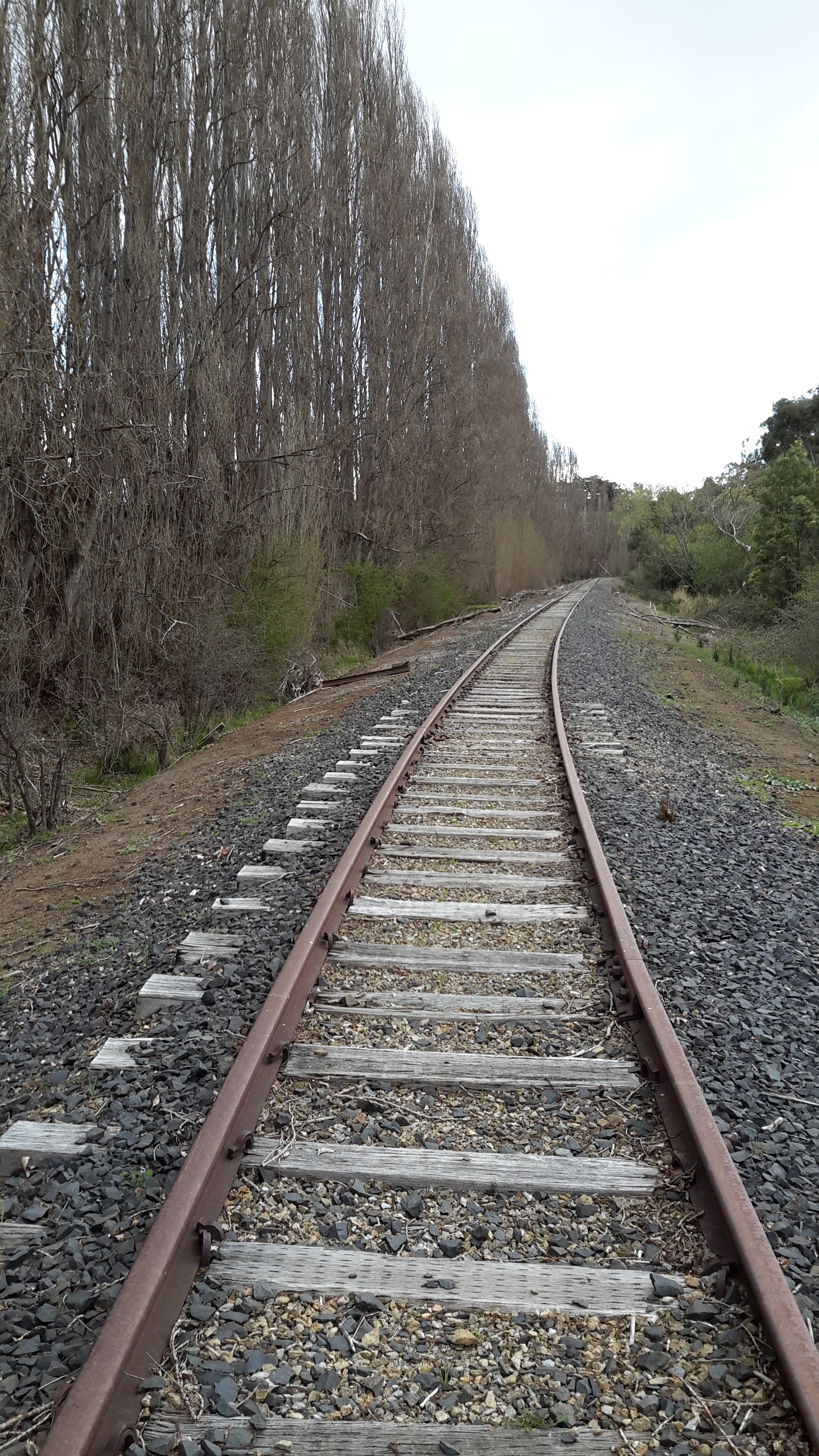
During stages 1-14, from time to time I recorded how access to the actual river edge was sometimes denied me because properties were fenced and gated.  I bemoaned the fact that across Tasmania, in many instances the law provides that property owners own land and water to half way across rivers. While a ‘grace and favour access’ or by ‘a permission granted approval’ process exists in some places, much of our river edges cannot be walked freely.  Yet in so many European countries ‘right of way’ paths and walking trails across the land have been taken for granted for centuries so there is much more freedom to simply enjoy being outdoors.  Non-indigenous settlement is too recent in Tasmania so a criss-cross of ‘ancient’ walking paths has not been established, and the pathways of the inhabitants prior to settlement, the aborigines, either have been obliterated or knowledge of their location is not easily available to the non-indigenous population.

20150917_092218

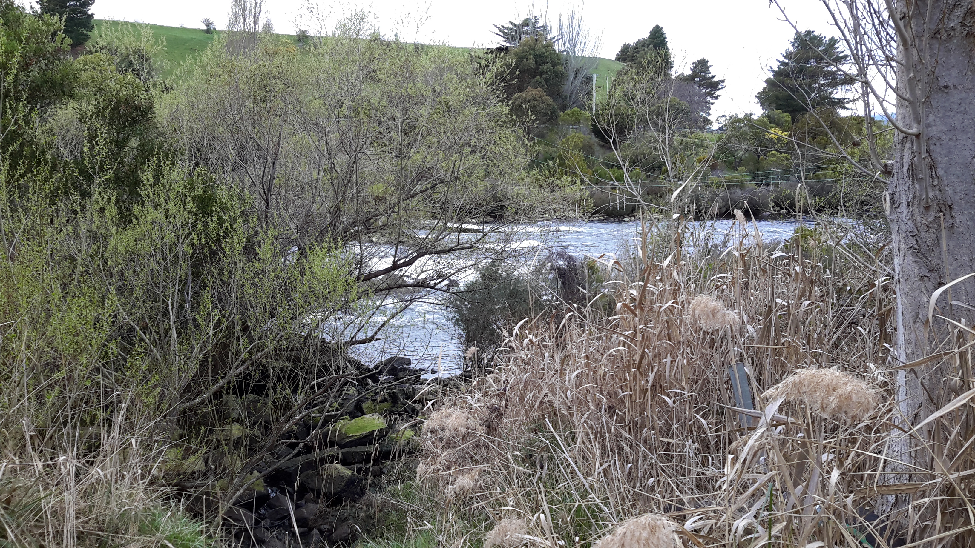
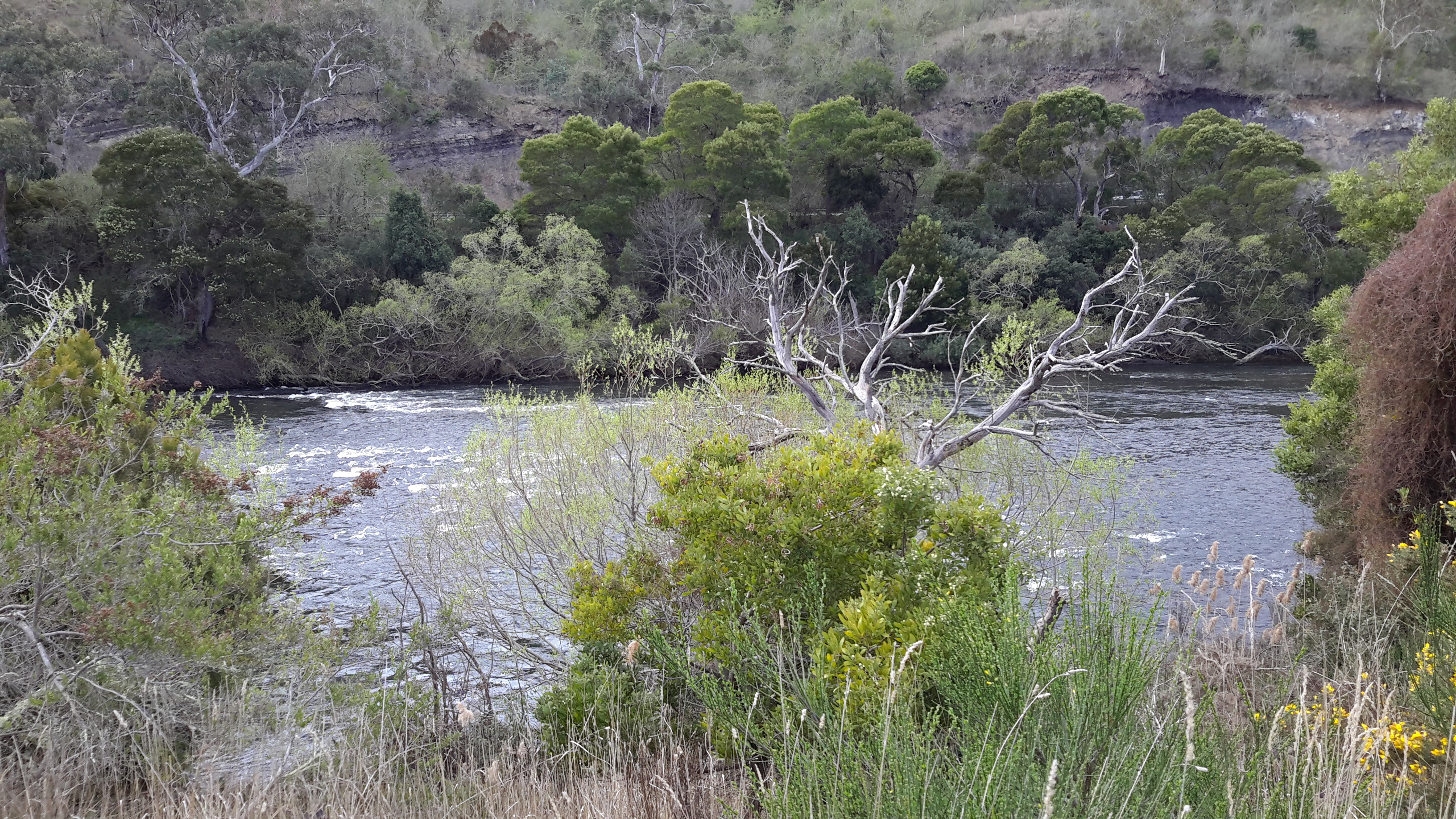
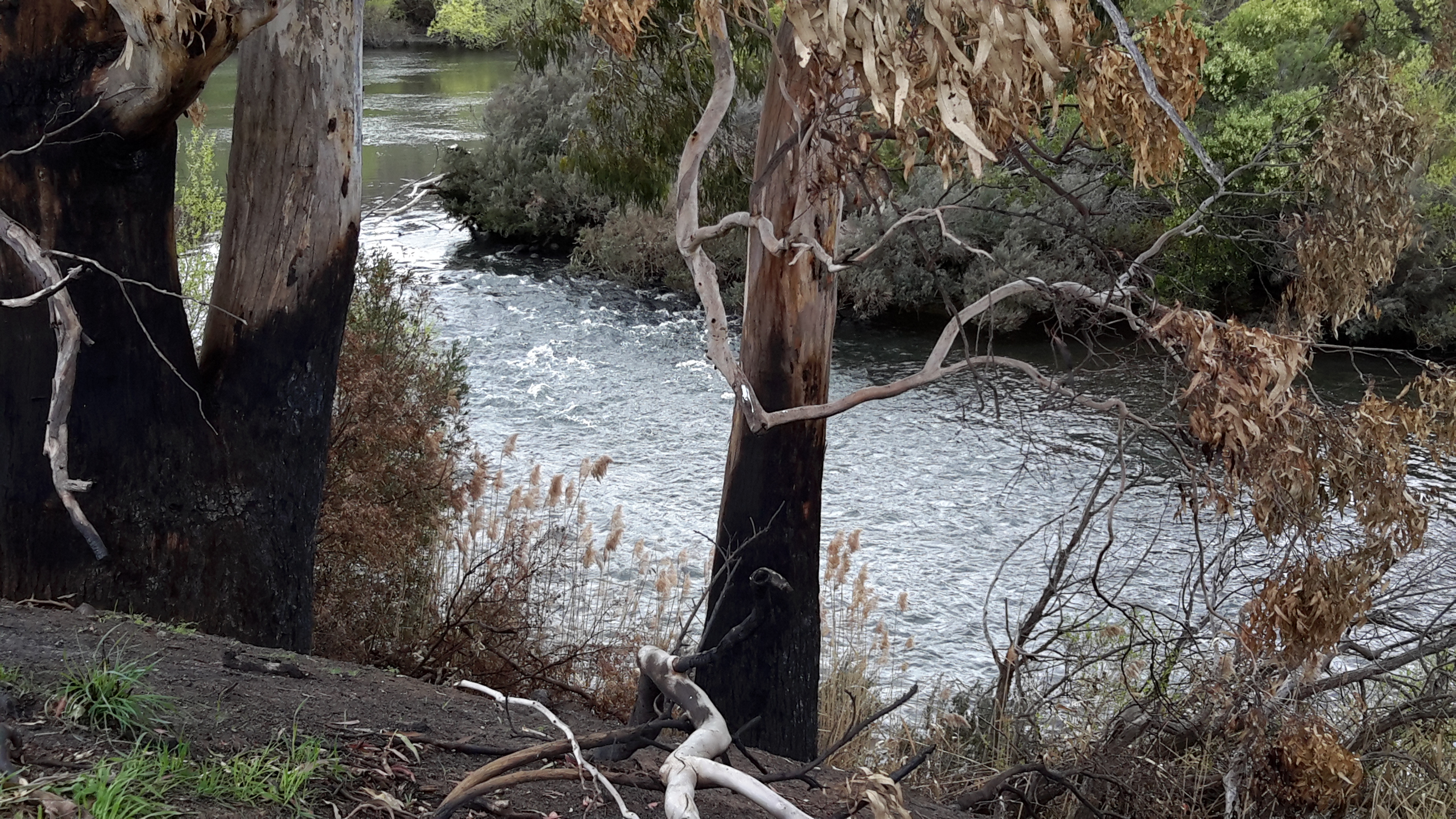
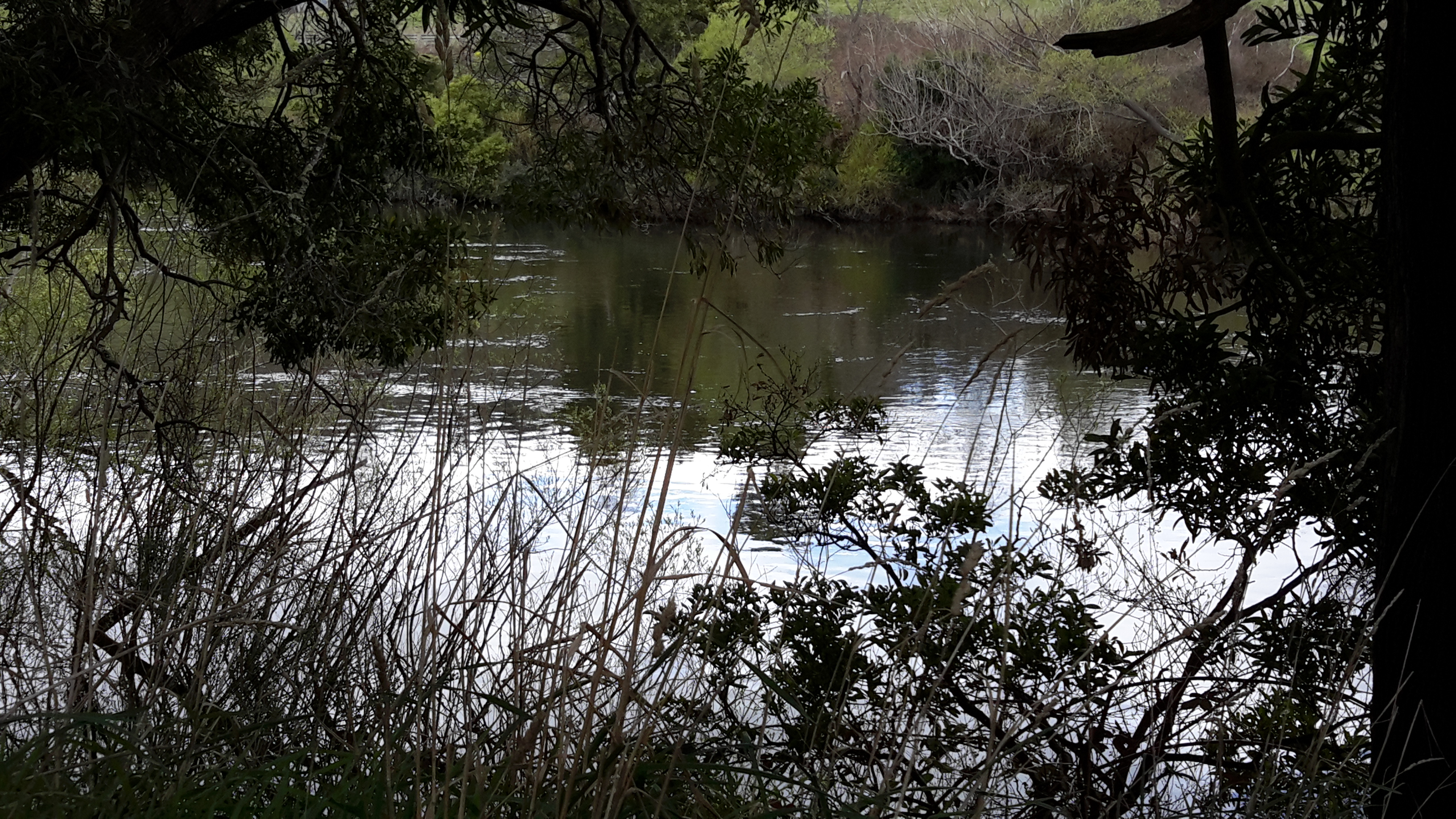
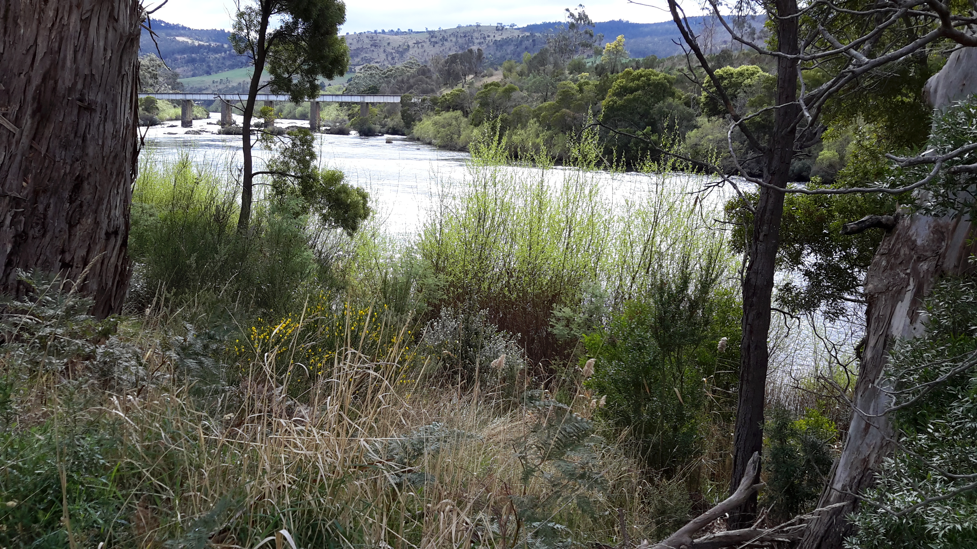
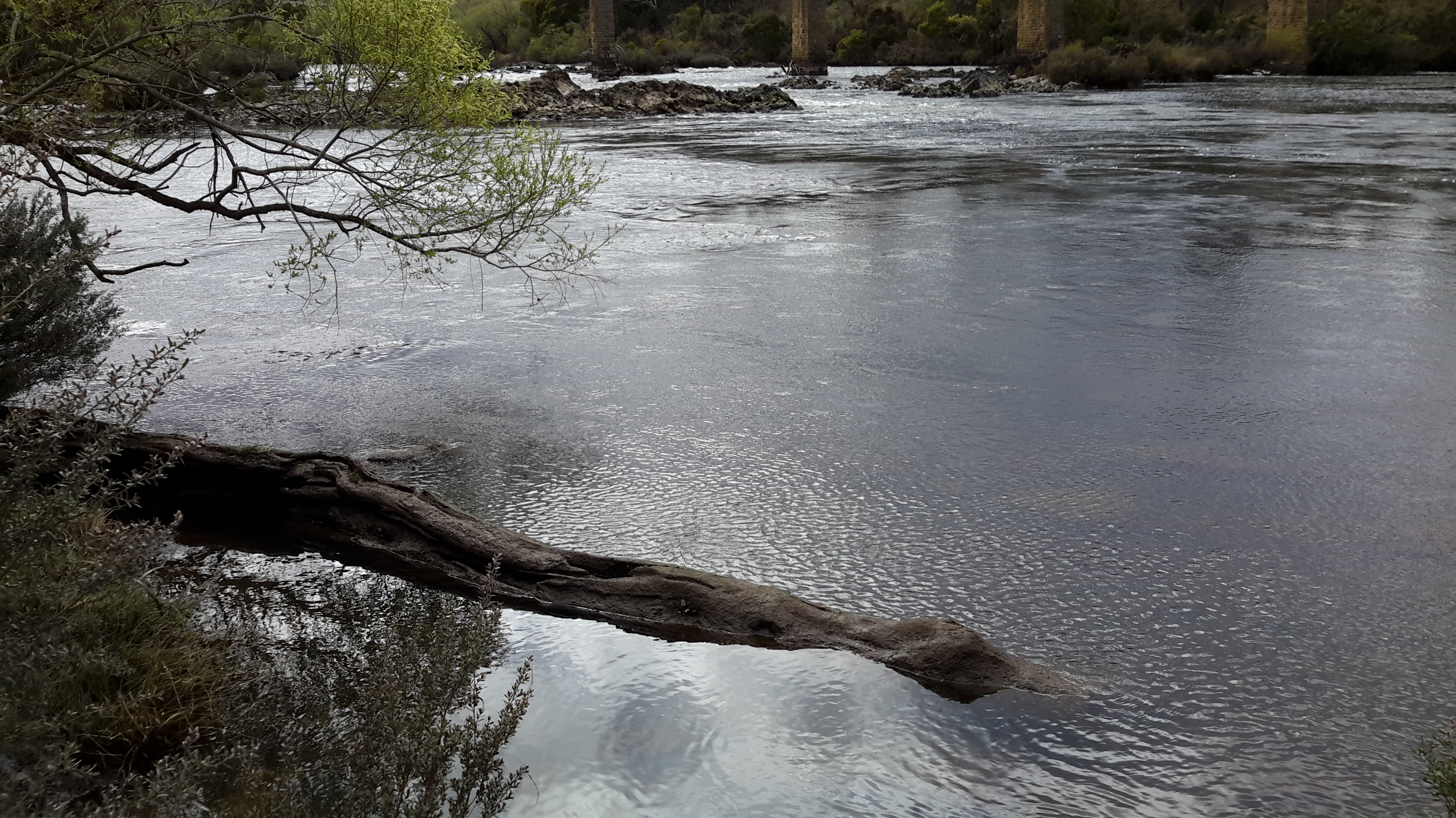
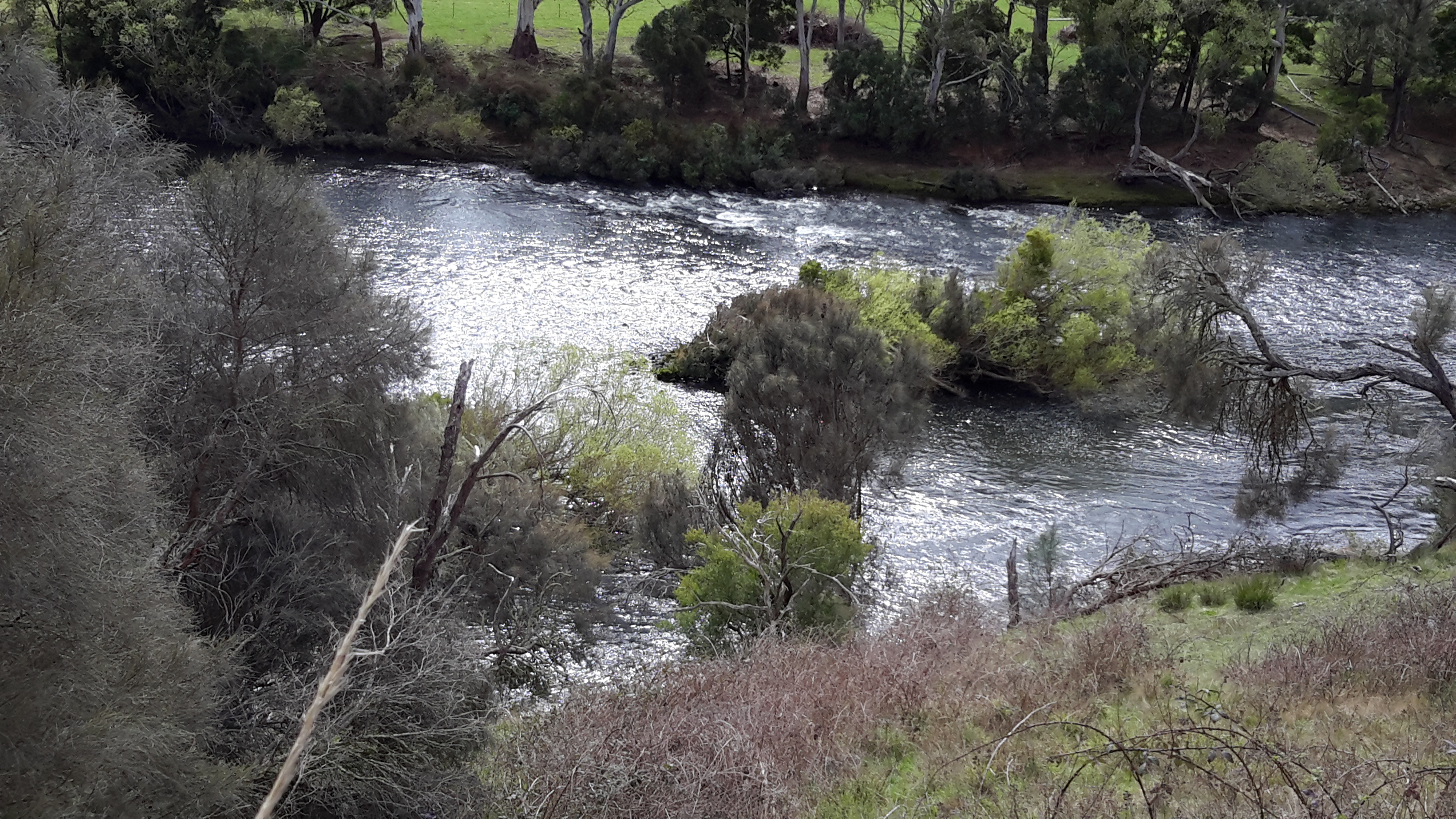
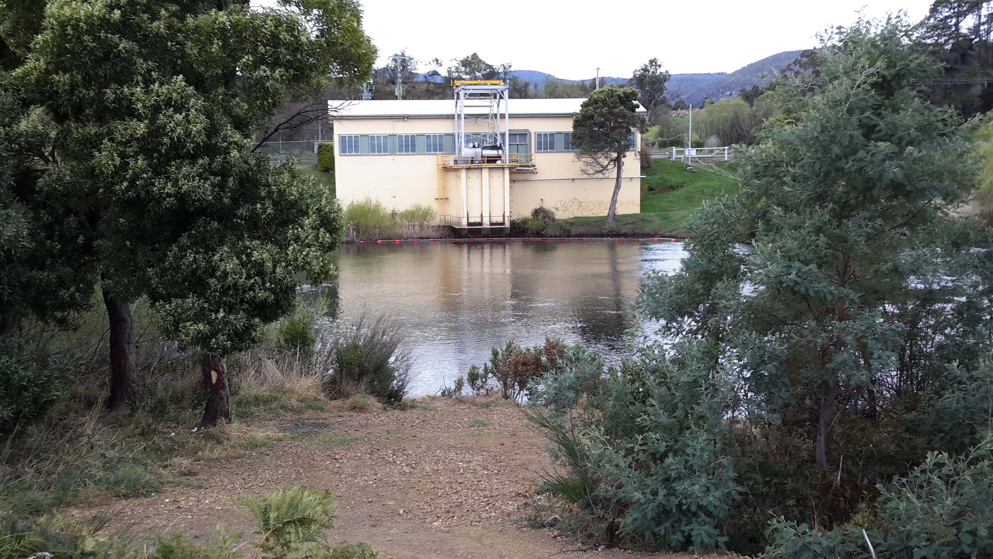
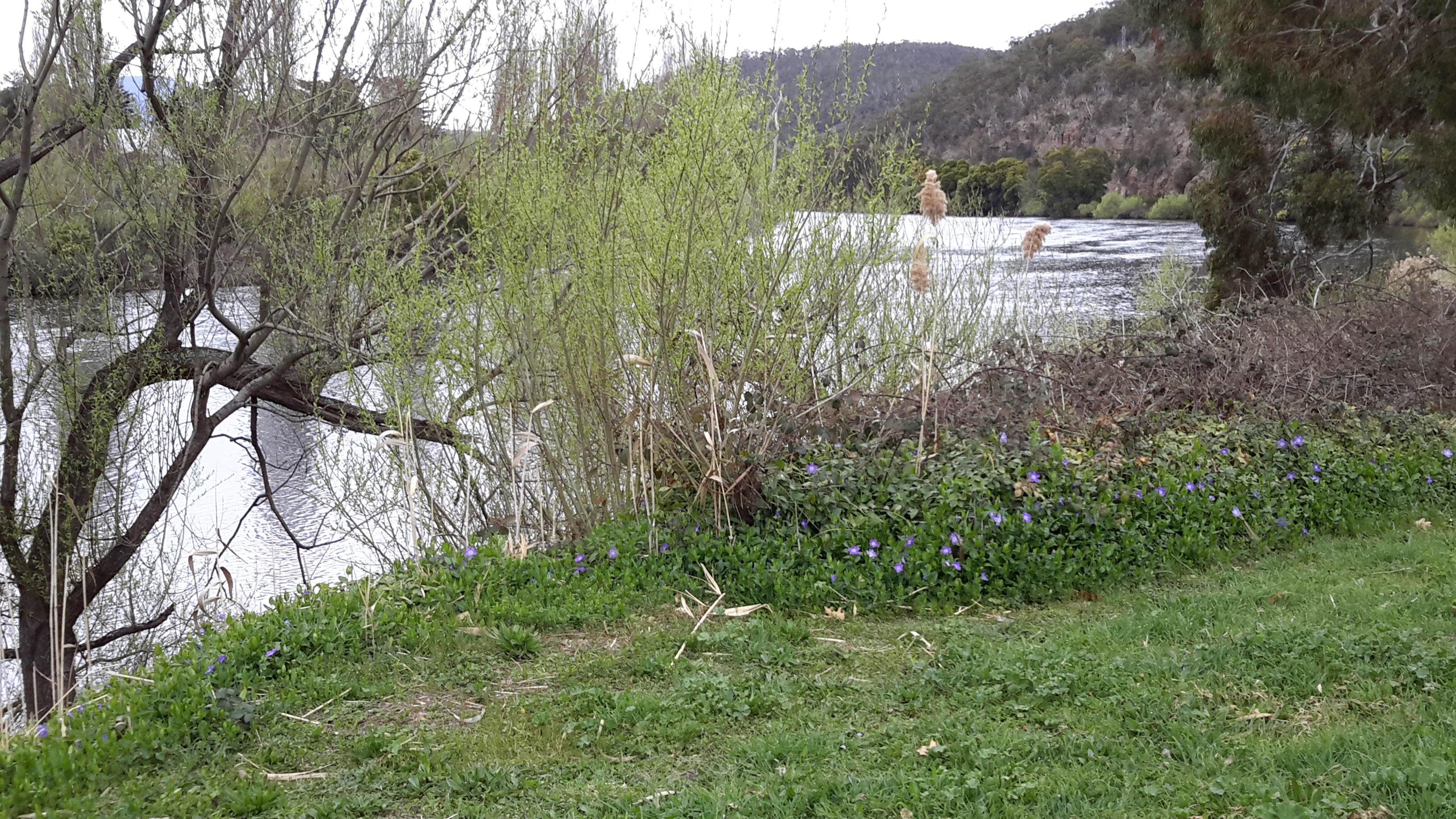
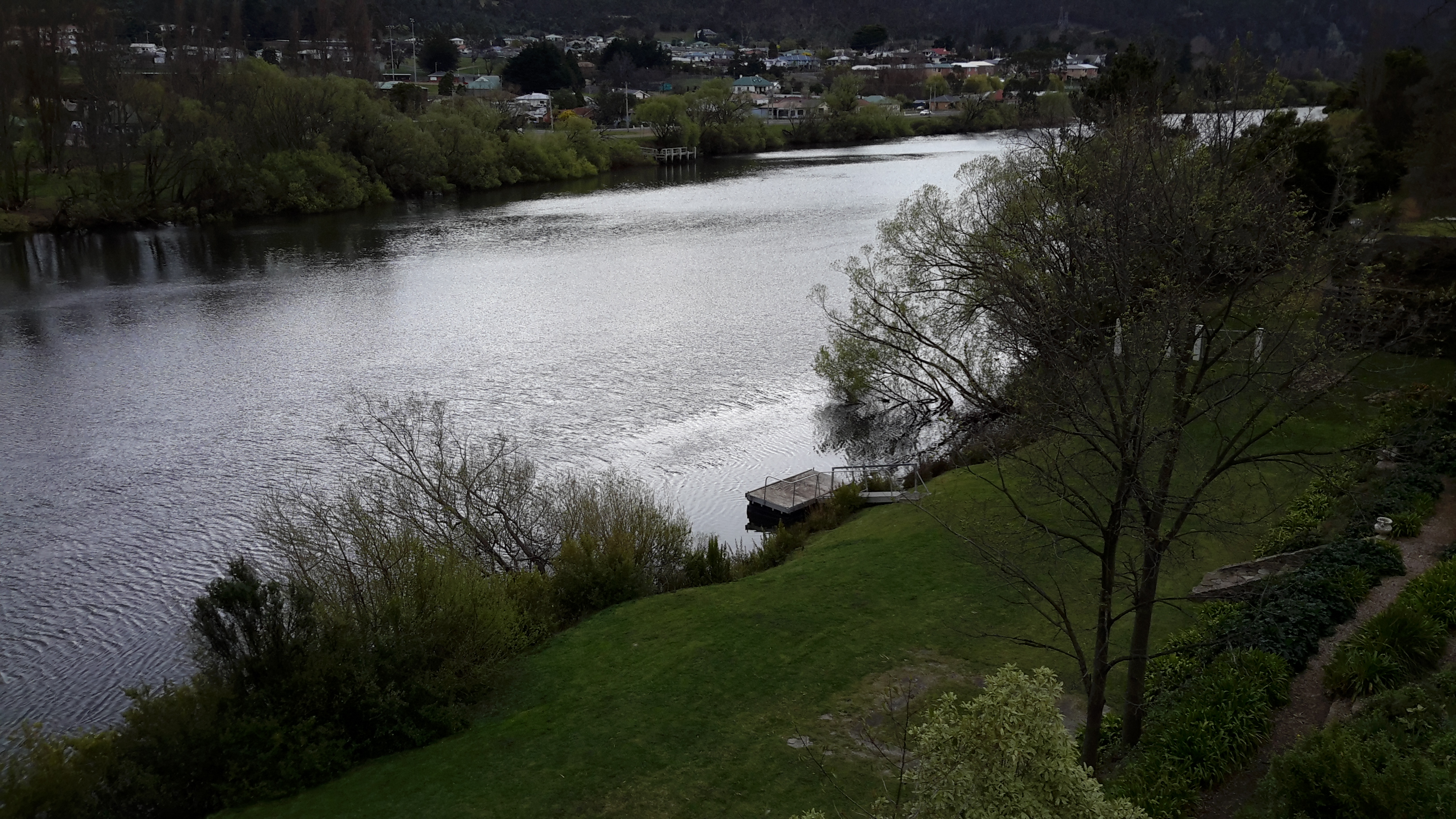
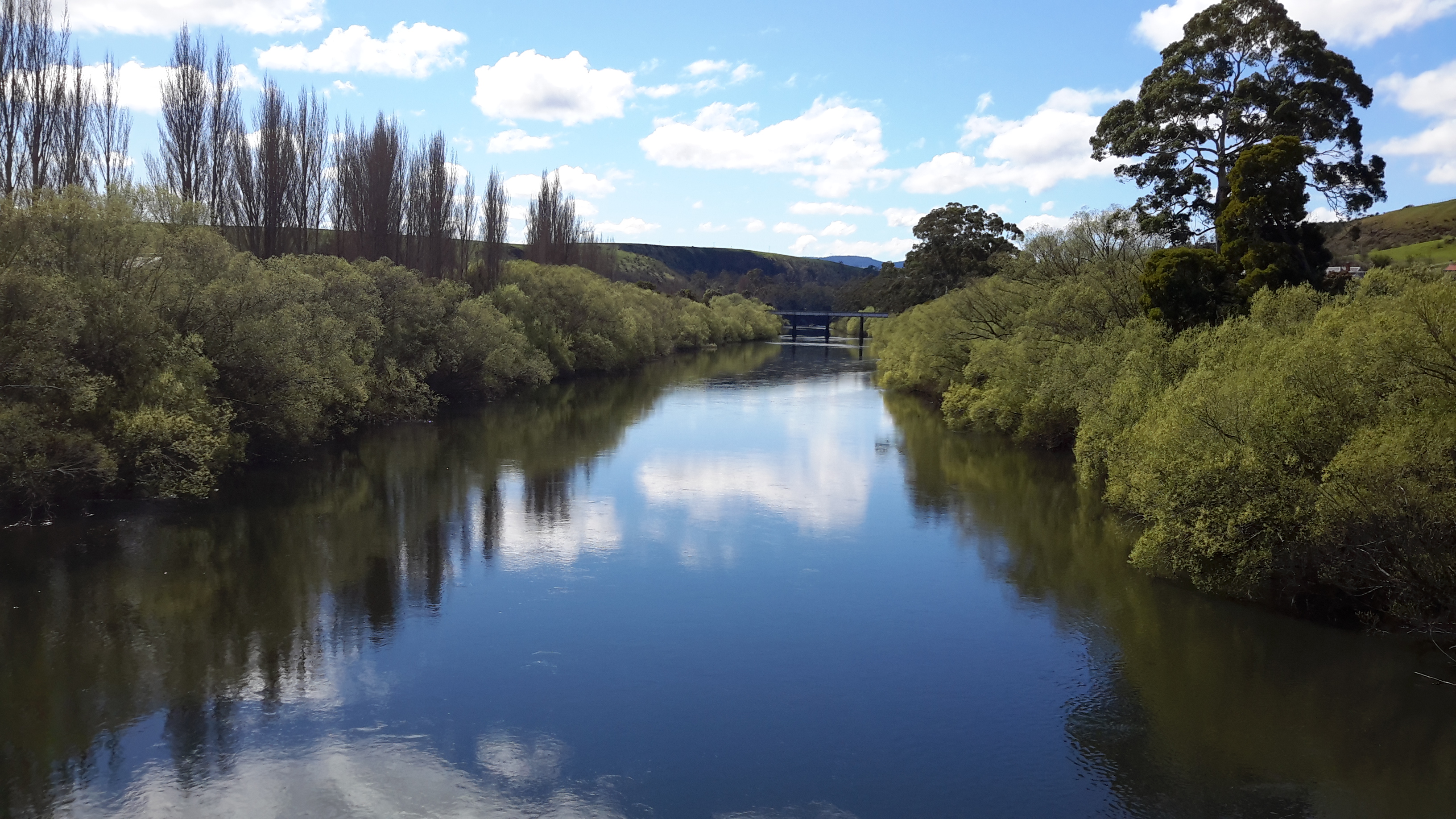
Photo of the Derwent River taken through a house block on the western edge of the town of New Norfolk.

The damage is done and to repeal laws and ‘take away’ land from owners would be political suicide, and cries of unfairness and for expensive compensation would abound. I can imagine the legislation arose partly from consideration of the practicality as to who or which organisation would maintain the thousands of kilometres of river edges across Tasmania and keep them clear from bracken, blackberry brambles and exotic weeds.

20150918_092244 20150918_102532

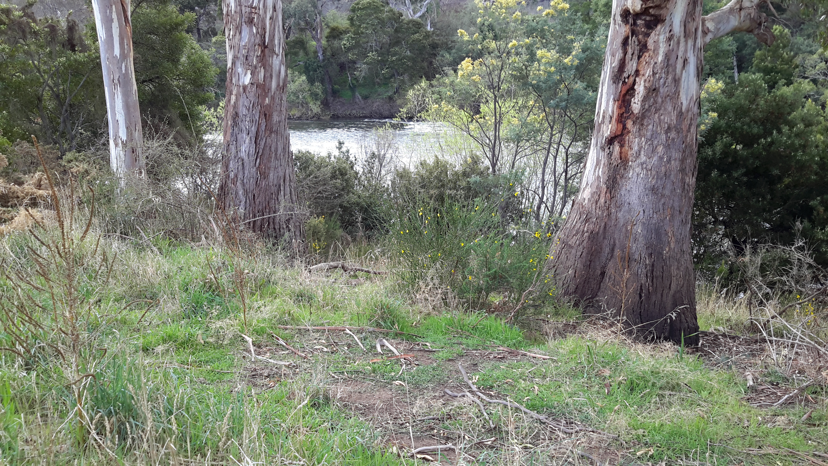
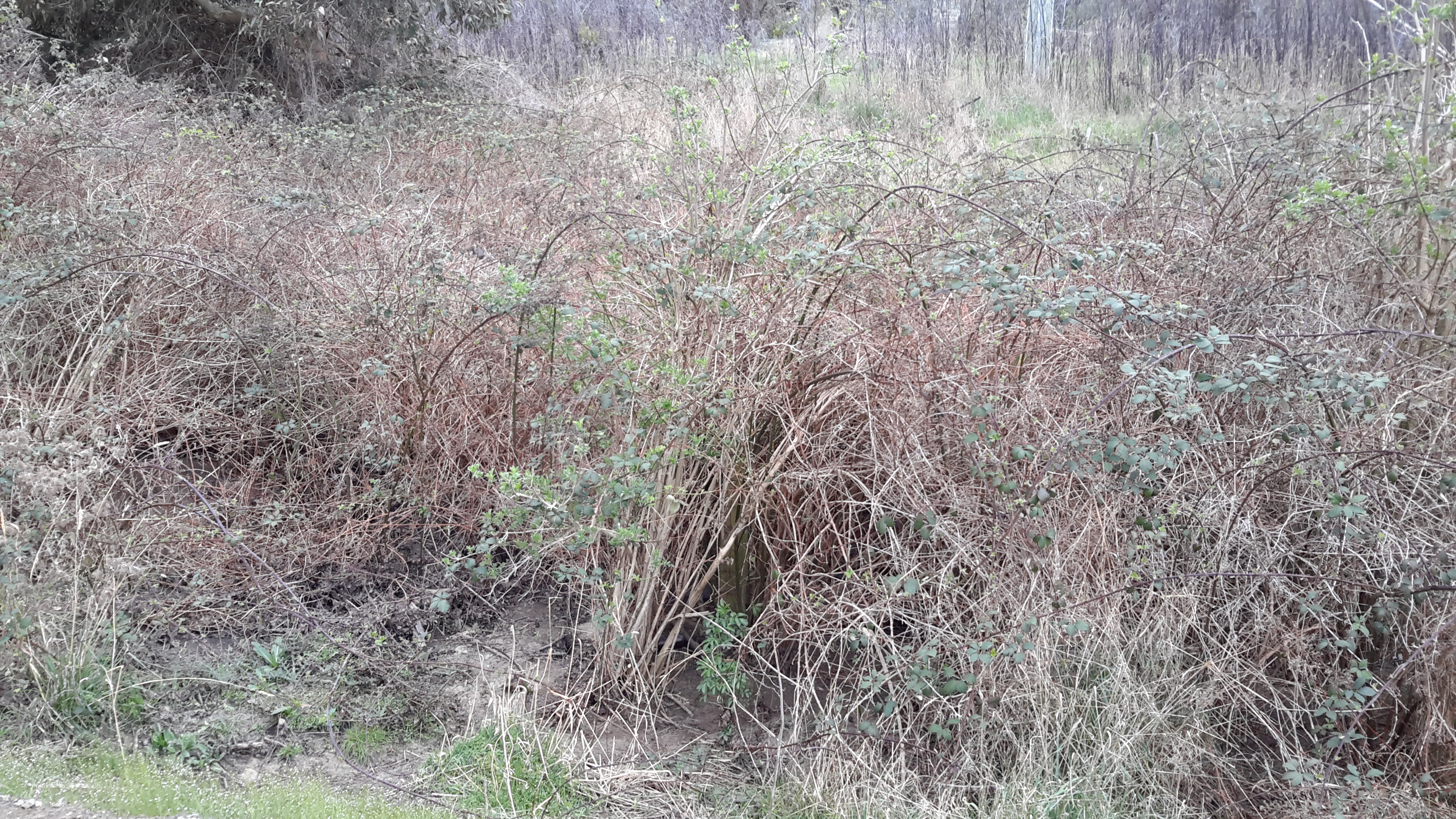
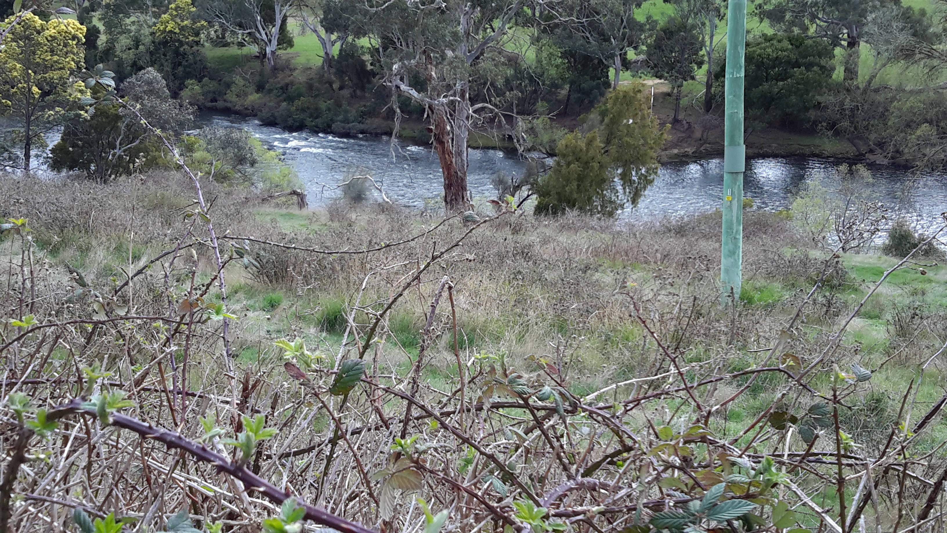
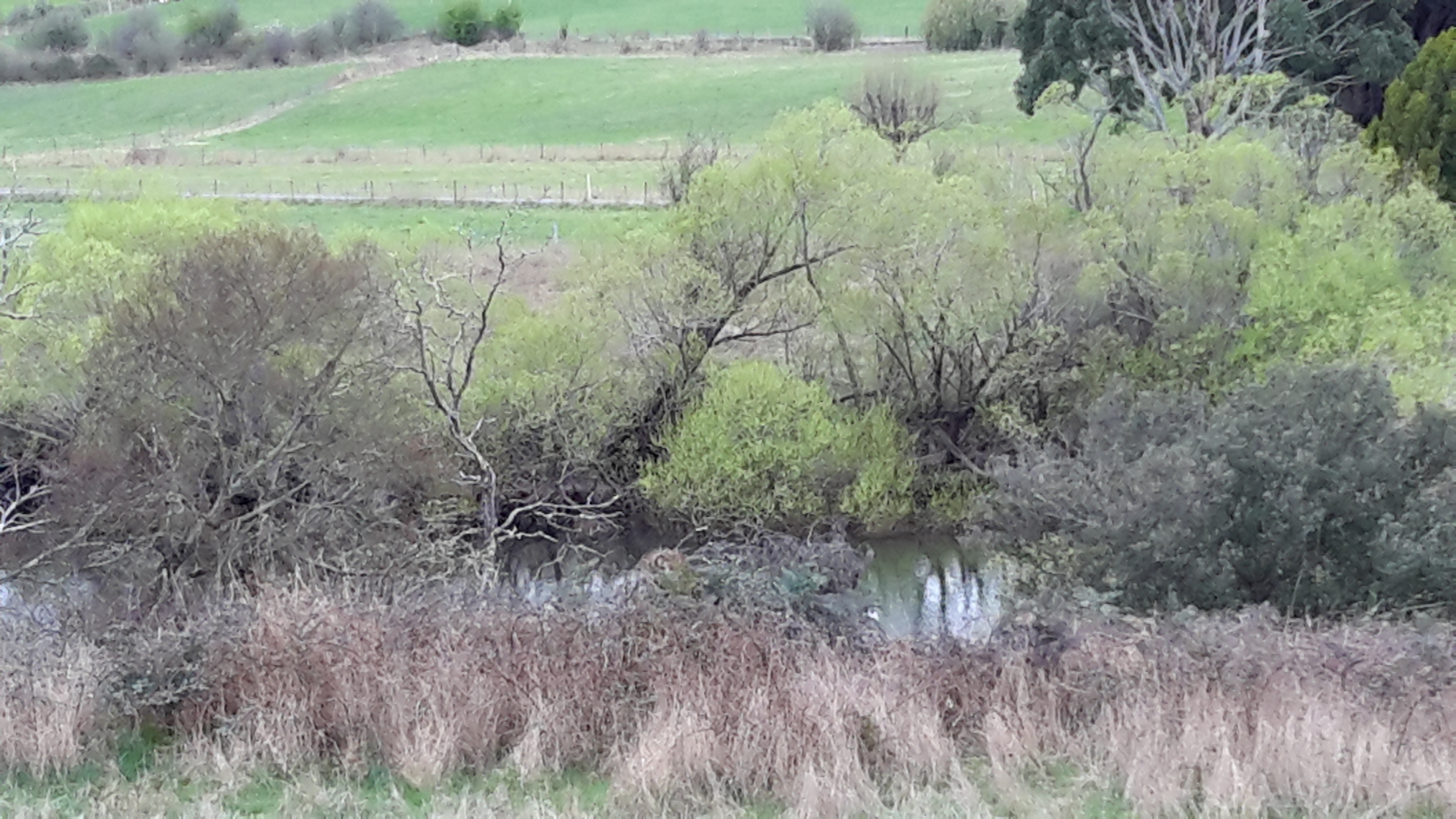
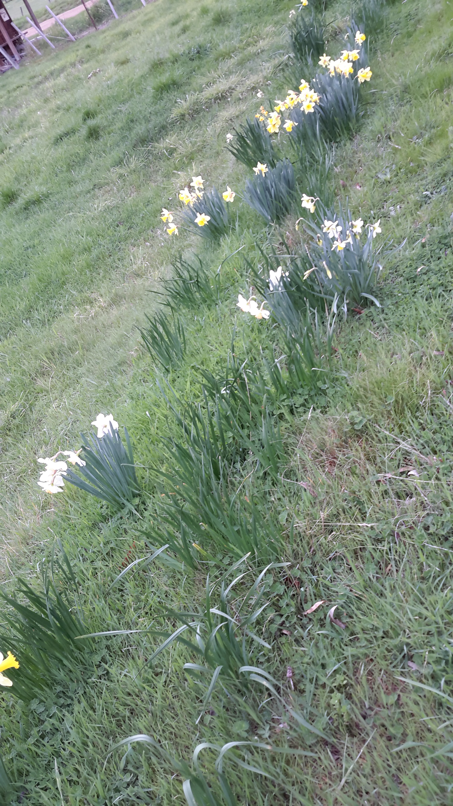
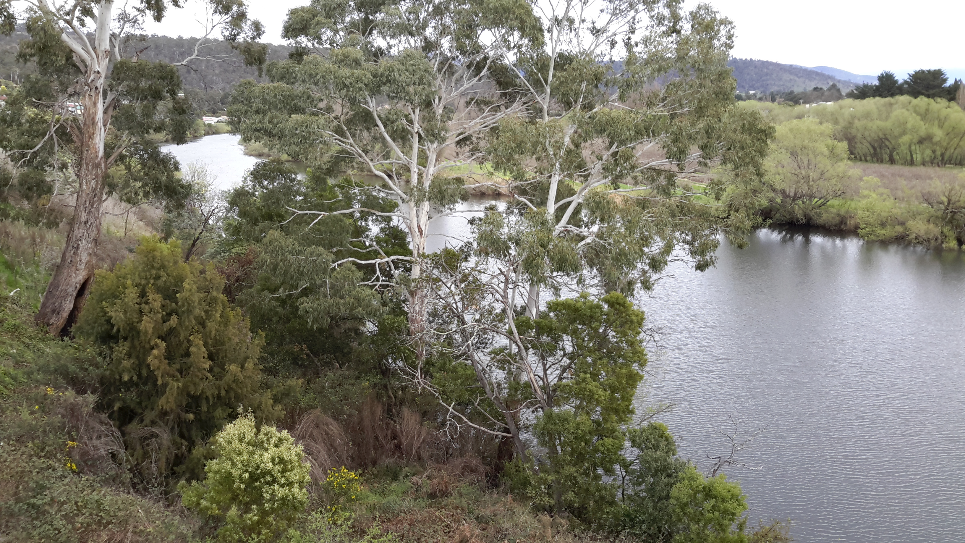
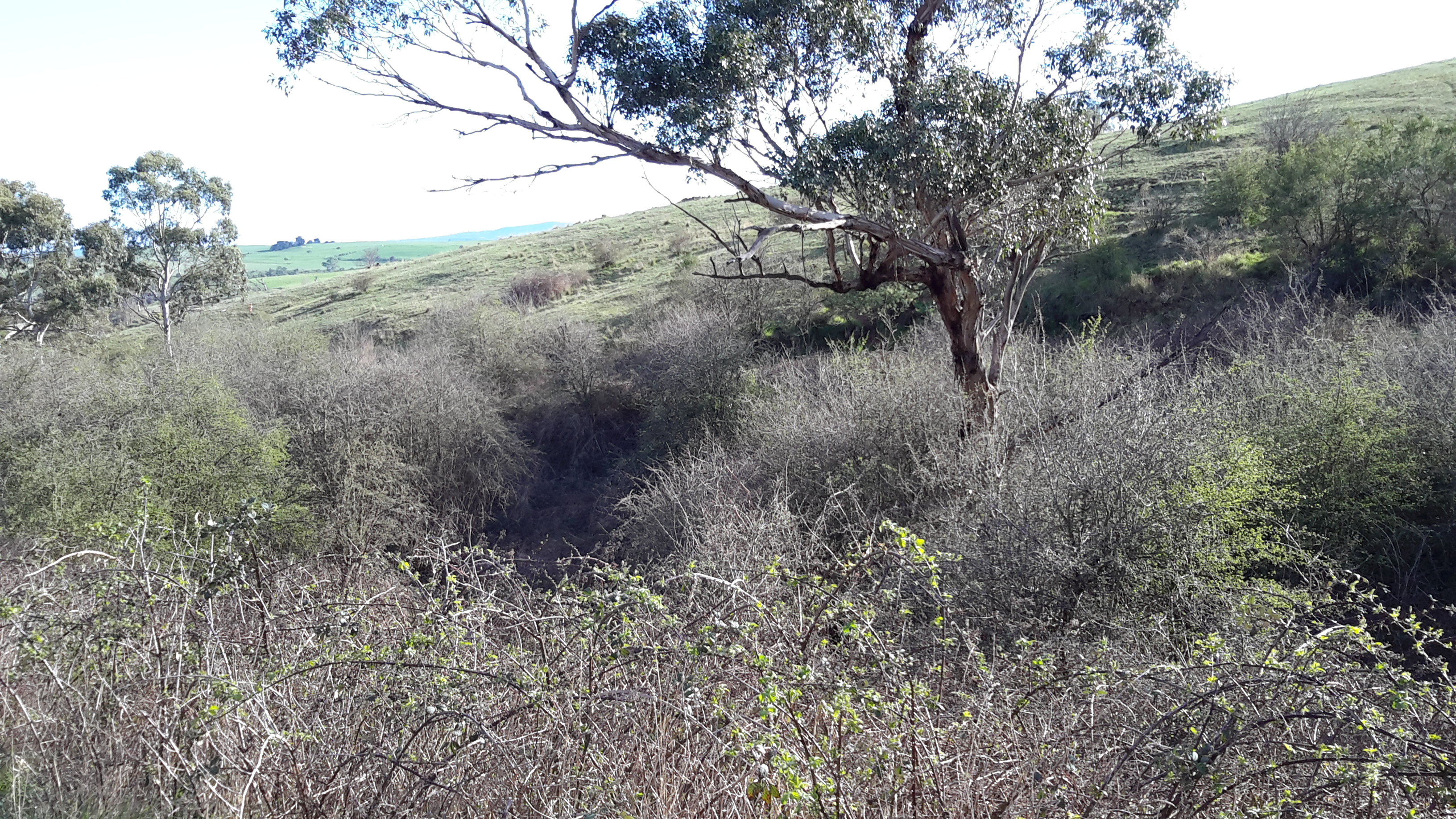
Can you spot the River through these profusely growing weeds?

While walking for leisure purposes has a history in Tasmania since the beginning of European settlement, our early legislators did not have a crystal ball to see that the 21st century is one in which many people want a healthy lifestyle that involves exploring and accessing our natural environment without barriers.

Unfortunately, a damaging minority of people are greedy, thoughtless, and cannot be trusted to meet their promises.  The consequence is what I found during Stage 15 and what I can foresee for Stage 16.  I soon realised that almost no free/public access to the River exists between New Norfolk and Gretna, and it seems this will also be true for any future inland push along the River.

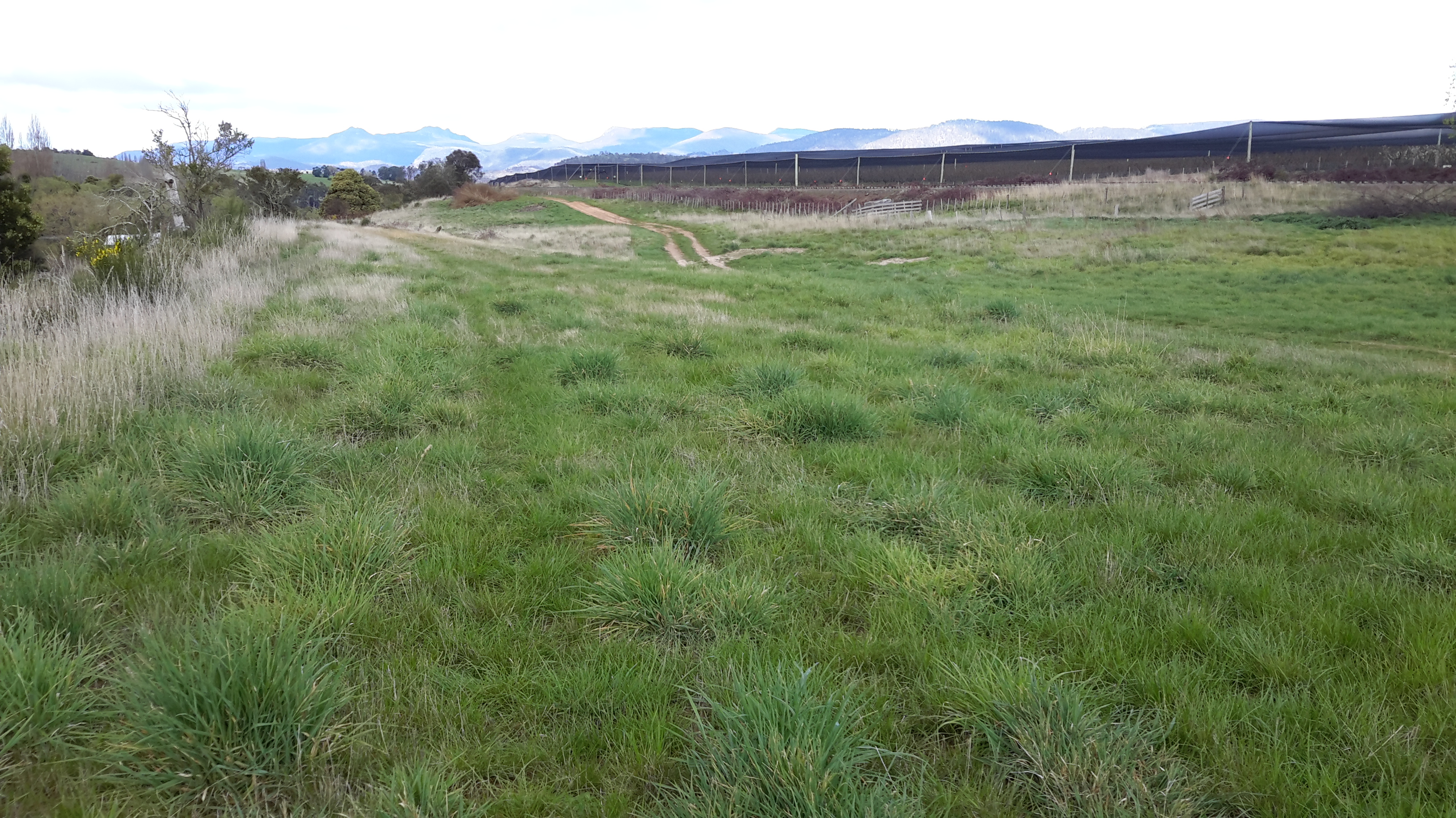
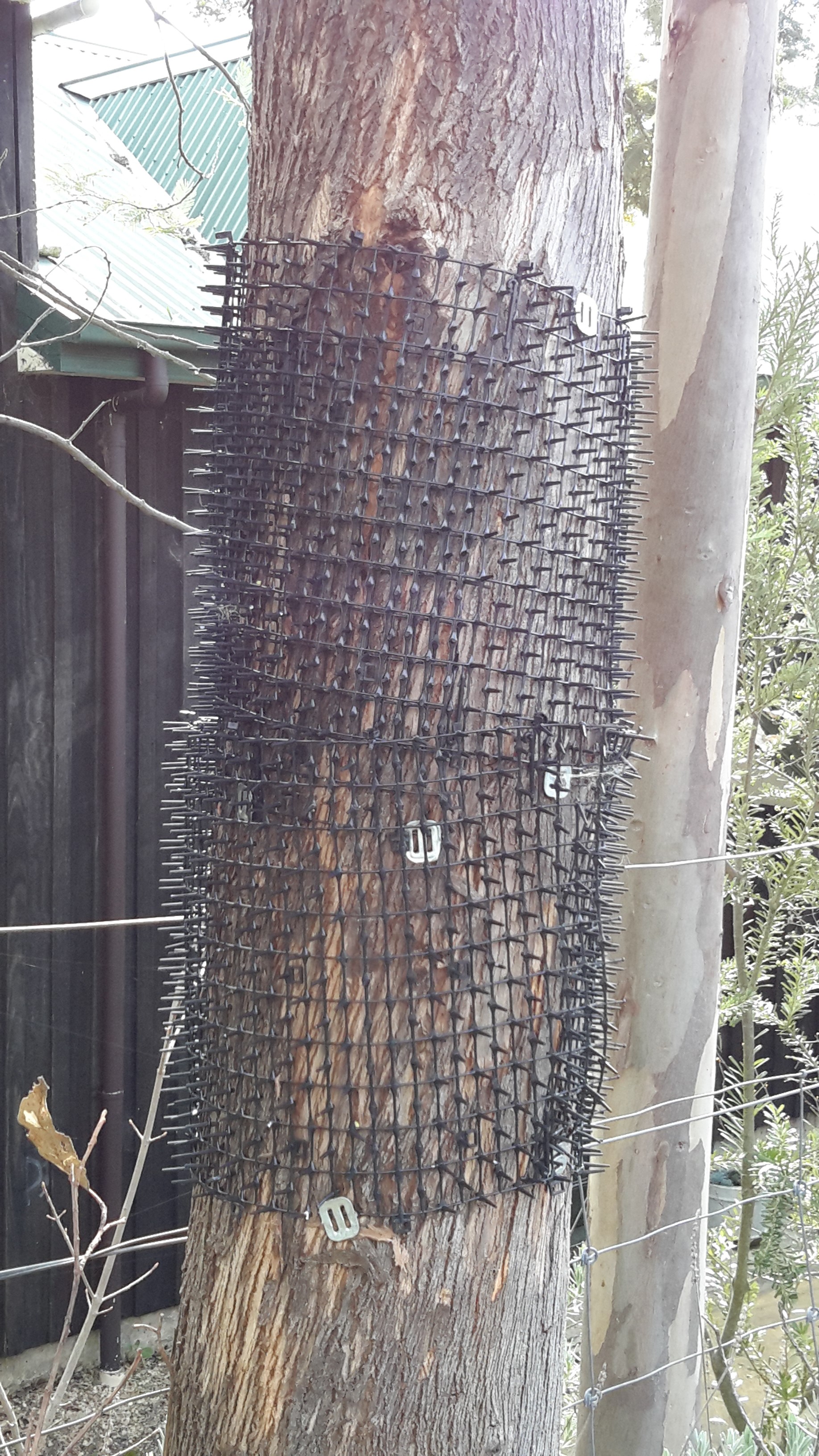
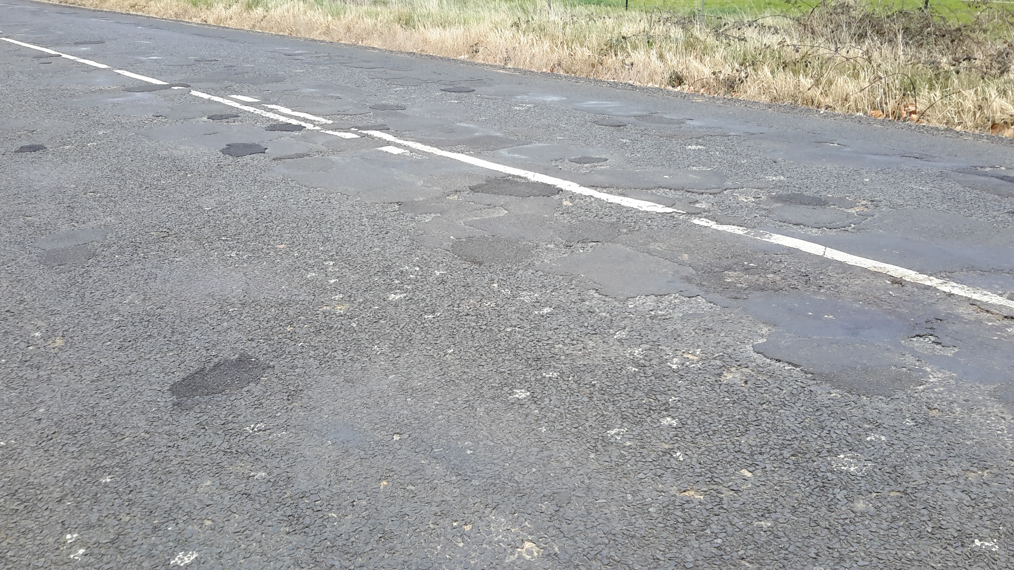
After leaving New Norfolk on the westward proceeding Glenora Road on the southern/western side of the Derwent River, I soon registered paddocks and more paddocks had been recently re-fenced with fresh spiky barbed-wire.

20150917_104811

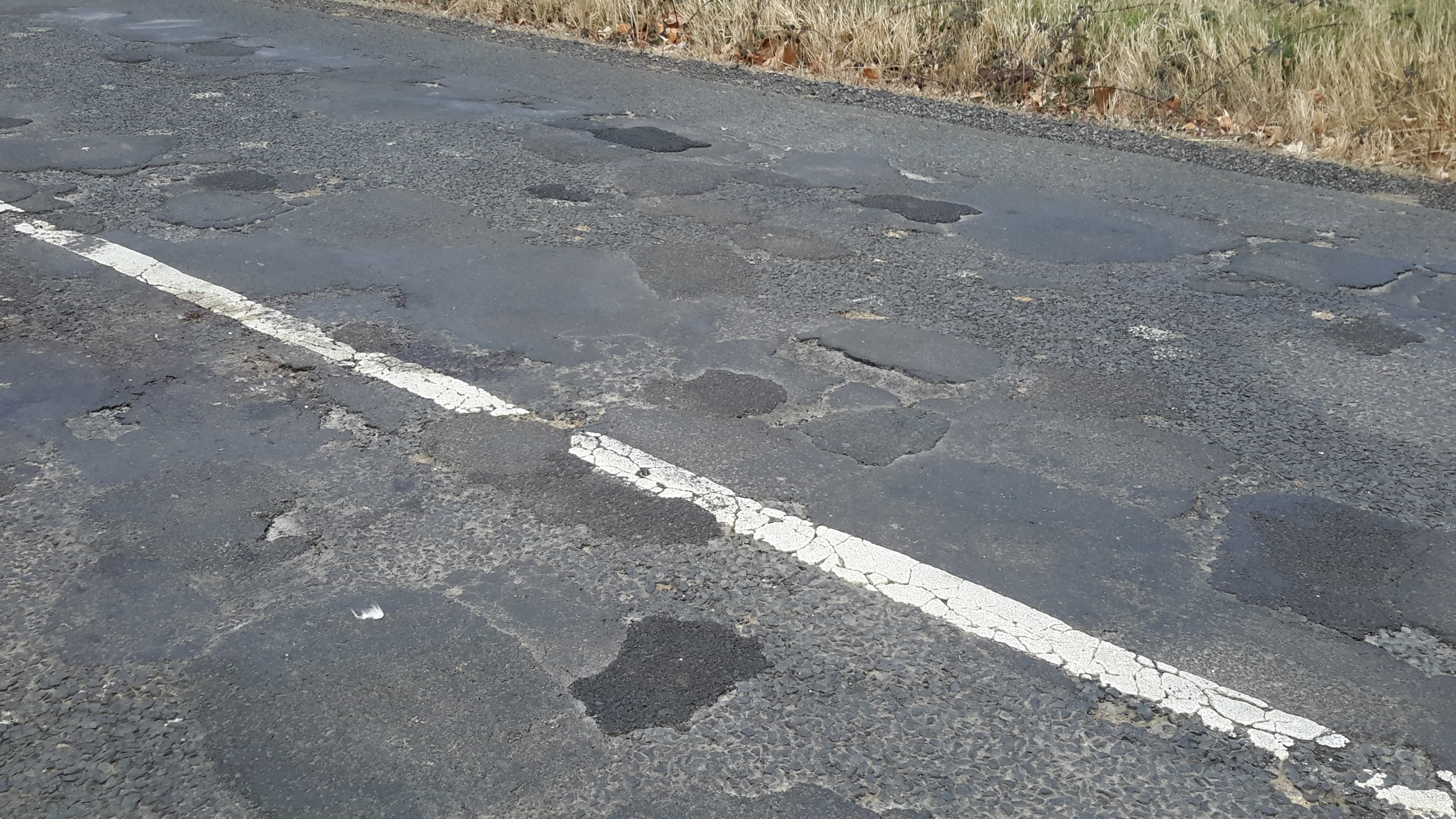
Note second fence line inside and parallel to the barbed wire fence line.

This year, the Australian Federal Government budget made a concession for small business owners and granted an immediate full tax deduction for expenses up to $20,000.  My conclusion was that farmers in the Derwent Valley grabbed this opportunity and used it to protect the limits of their properties.

As a child my father showed me how to pass through barbed wire fences. The process is best with two people but one can do it. You put your shoed foot on a lower strand of wire to hold it down, then pull the next one up and slip through the enlarged space hoping not to be spiked by the barbs.  But today’s farmers in the Derwent Valley know this trick. Since they don’t want people on their land, the wires are now extremely taut and the spacing between many lines of wire is only about 10-15cm.  If an adult expects to pass through the barbed wire fences of Derwent Valley farmers then Dad’s technique cannot work.

Barbed wire fences were not my only barrier to accessing the Derwent River.  Gates presented insurmountable challenges.  Almost all gates that I arrived at were padlocked. That hasn’t always stopped people accessing a property because the use of strong square wires or other metals in gate construction usually helps you with a footing to lift up and over the top.  Not so with many Derwent Valley farmers’ gates.  The new gates either are ringed in barbed wire or are wrought iron with high straight verticals which provide no place for feet.  For me these were unclimbable.

20150918_075938

Very occasionally I came across older fencing that had minimal or no barbed wire and seemed very climbable. But alas. These fences had an additional strand attached; an electrified line. Intended to keep the cattle in and from trampling fence lines, these electric fences were an absolute barrier for walkers like me.

20150918_091409

In places, farmers had cleverly left overgrown tangles of thorny blackberry canes that extended down paddocks and into the river, as an impossible barrier near their fence lines.

20150918_082523

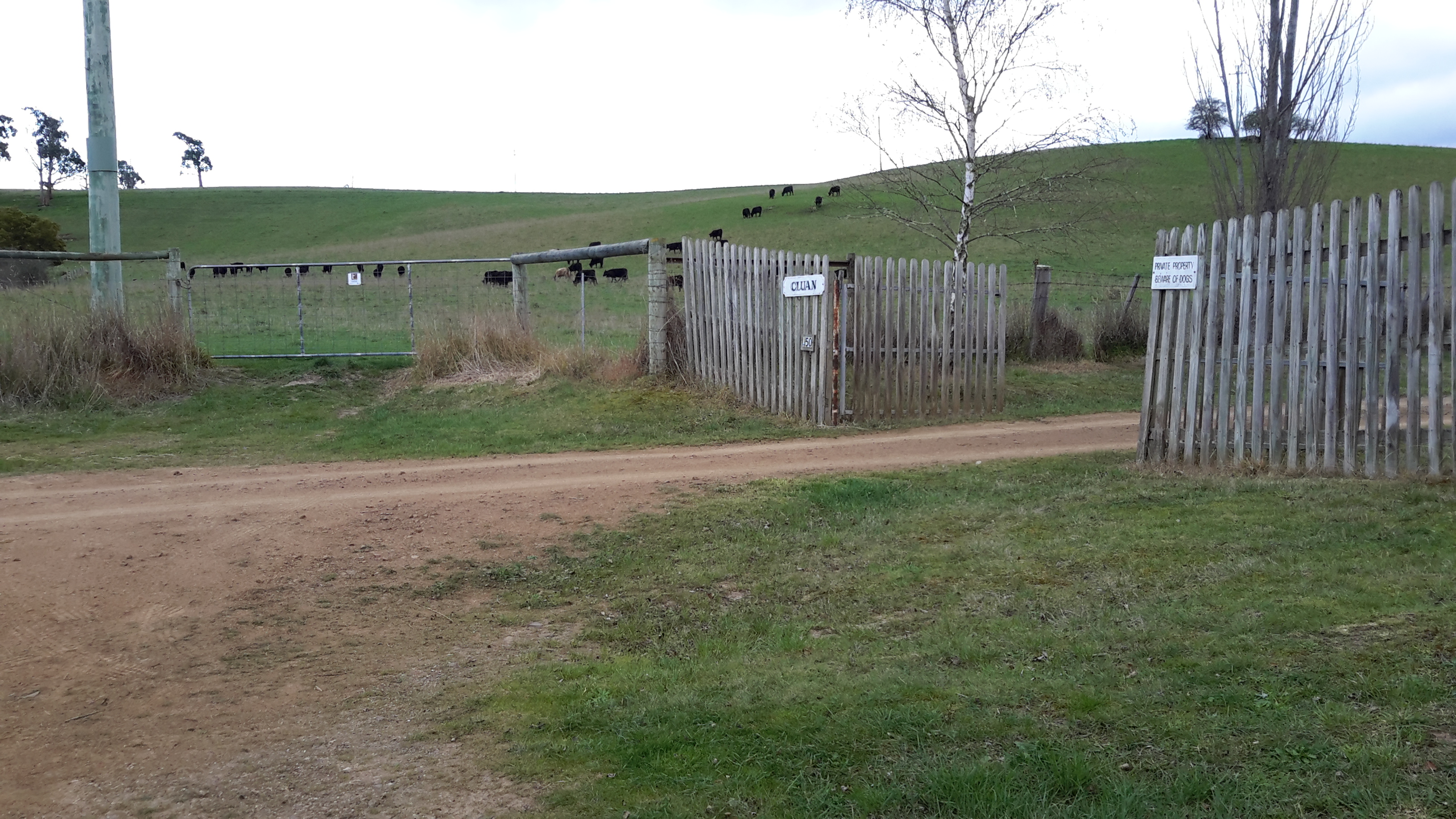
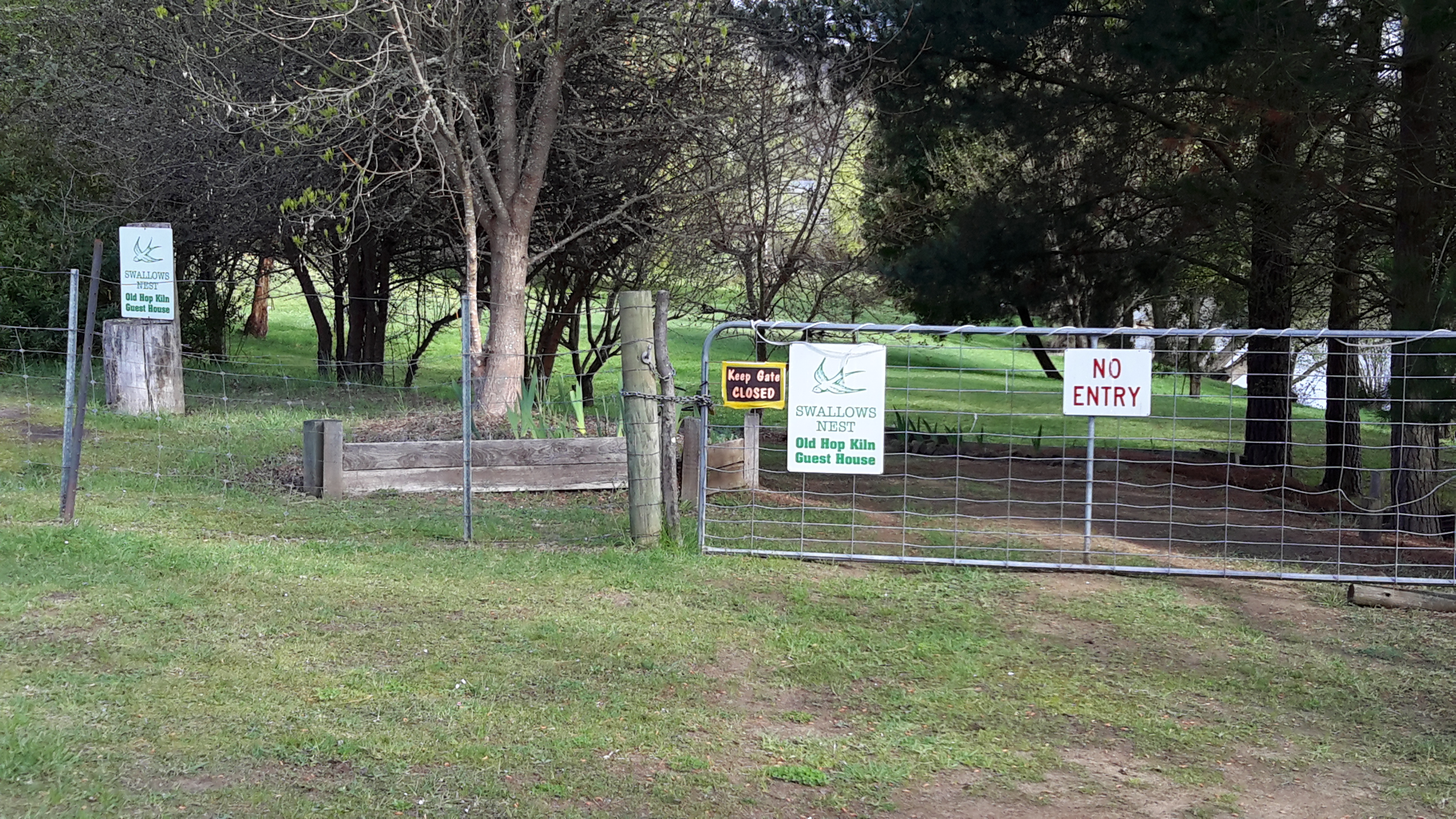
I came across signs such as ‘Private Property’ and on one occasion the sign warned that ‘Trespassers would be prosecuted’.

20150917_140110 20150918_090514

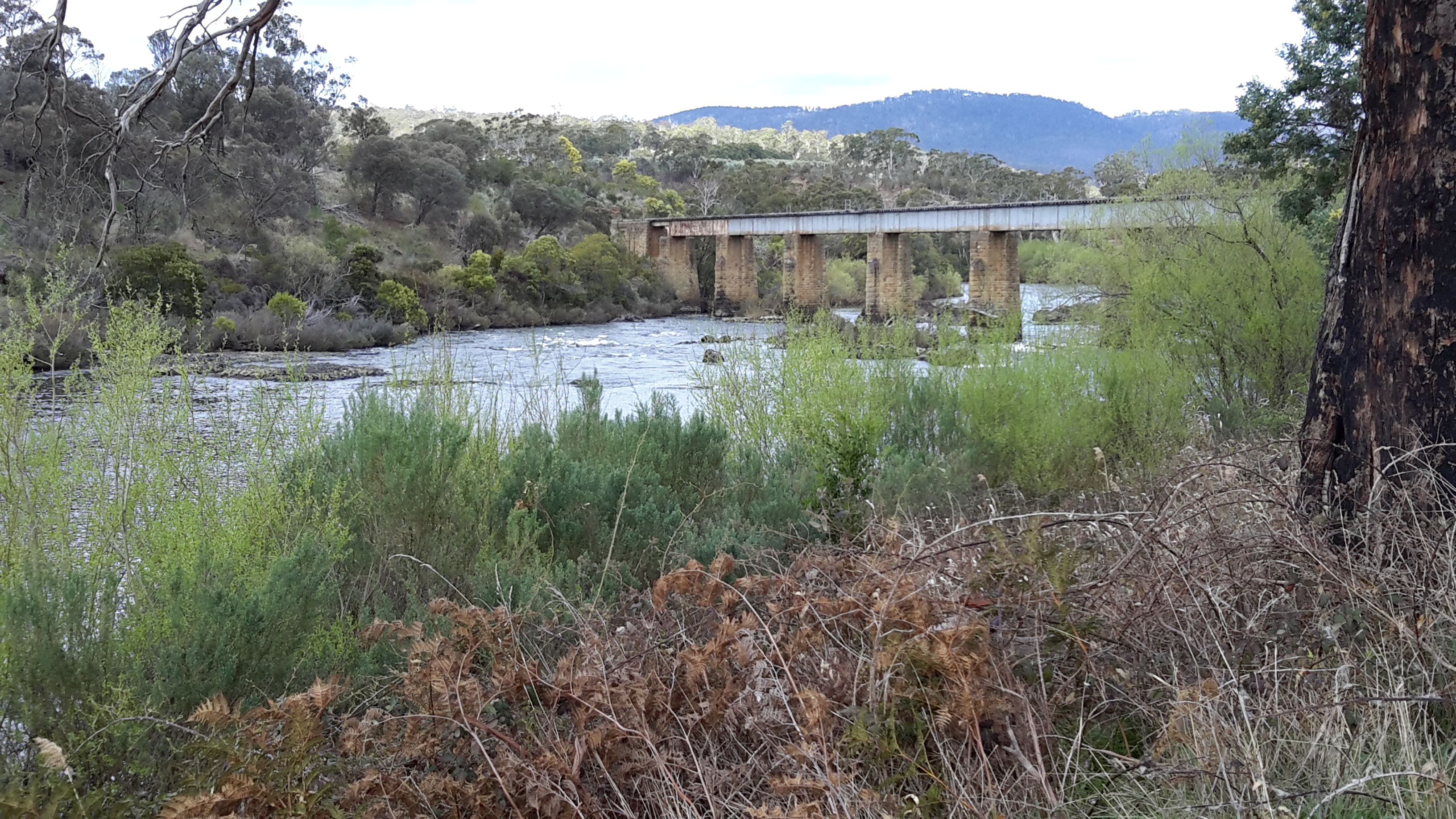
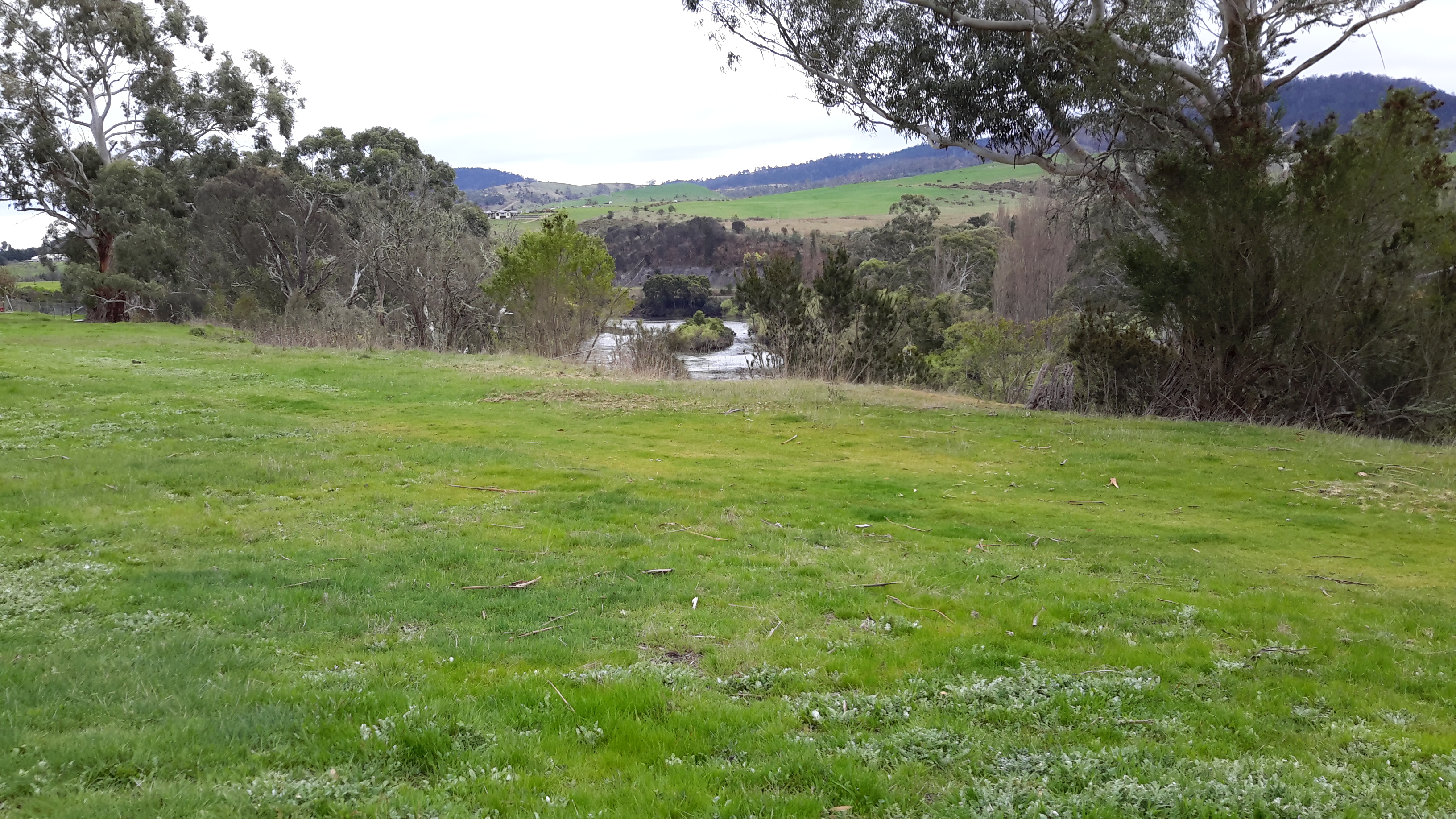
Even access was limited to the very open Sports Ground at Bushy Park, one which contains almost no infrastructure. This Sports Ground edges the Styx River as it flows into the Derwent River.

20150918_114143

The sign pictured below was particularly annoying because it was suggesting that permission might be given if a request was made. However, I couldn’t get access to ask for permission to walk across the land.  Once on the spot, there was no way to discover who the landowner was and then to somehow connect with them using technology.

20150917_114101

On a particularly wonderful luscious green hill that wound around the Derwent heading for Gretna, one where walking close to the river would have been a great pleasure, the sign ‘Trespassers will be shot’ was a strong deterrent.

20150918_125443

During my walk I had decided that perhaps anglers had not respected the limited access they were given to the River at key points, via styles over fences. I mused that perhaps fishermen had strayed further than permitted, wrecked fences and generally not left the land as they found it.

20150918_083233

Blog follower Jo told me a story of how a few men had prearranged with a landowner to come and fish in his dam. After their weekend of fishing they emailed the landowner with thanks for the opportunity to take home 50kgs of fish. Needless to say, this greed was rewarded by the owner telling the fishing party never again to ask for permission to enter his land.

Later at the Gretna Green Hotel where I waited for the bus back to Hobart after completing the Stage 15 walk, I talked with a local about the reason for the impenetrable barriers to properties.  Apparently wood lifting, and cattle and sheep rustling used to be rife in the Derwent Valley until farmers closed their borders.  Not only would people drive onto properties to chop down trees and collect sufficient fire wood for their own personal needs, they would bring trucks in and take loads away to sell.  All without the permission of the land owner.  Similarly, whole cows and sheep would disappear in their droves overnight.  Regularly.  Modern day farmers’ costs are high, their income comparatively low for the hard work they put in, and so they were unprepared to subsidise the living of others. Their fences and gates have become good barriers – not perfect, because occasionally some unscrupulous wanderers bring bolt and fence cutters.  Nevertheless, as a walker with no intent to leave my mark on the land, I cannot proceed.

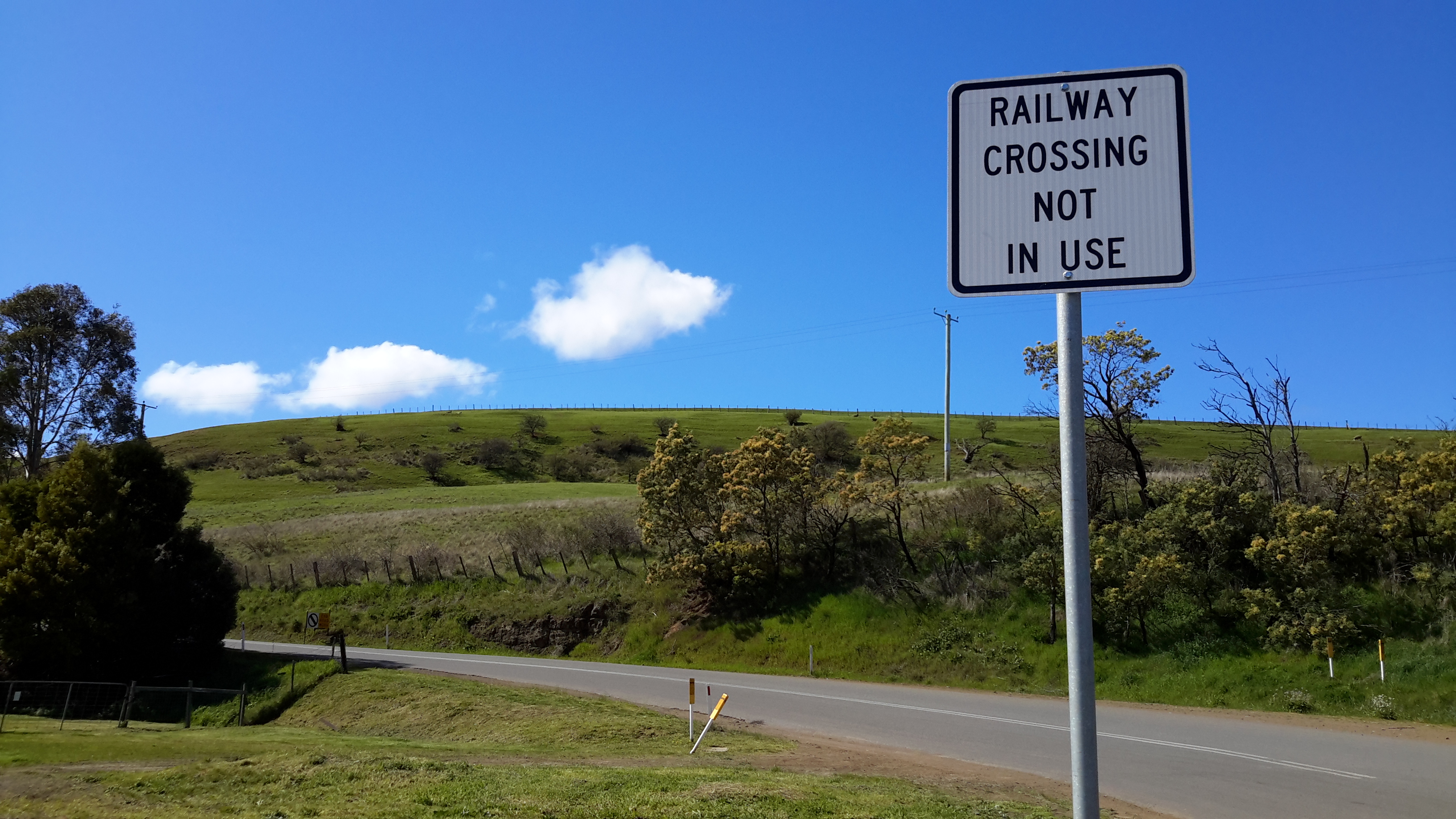
In my last steps walking into Gretna, I passed the two paddocks through which I envisaged Stage 16 would start. But both had impassable fences and gates with padlocks.  For the next stage, which was expected to cover the area from Gretna to Hamilton via the river, there are at least 4 property owners and who knows how many padlocked gates, bramble congested river edges, barbed wire and electric fences. It is not realistic to ask owners to come and unlock the padlocks and then relock them after I pass through.

While it is true, and you will read details in future posts, that I did access the river from time to time during Stage 15 and experienced some wonderful locations, for most of the walk I was deeply depressed about the limitations under which my project is being placed. I am pleased that writing this post has helped purge some of that anger and frustration. Now that the situation has been recorded, I feel much more ready to be positive again and determine a new way  to reach my goal.  The goal remains the same, but the process must be modified.