
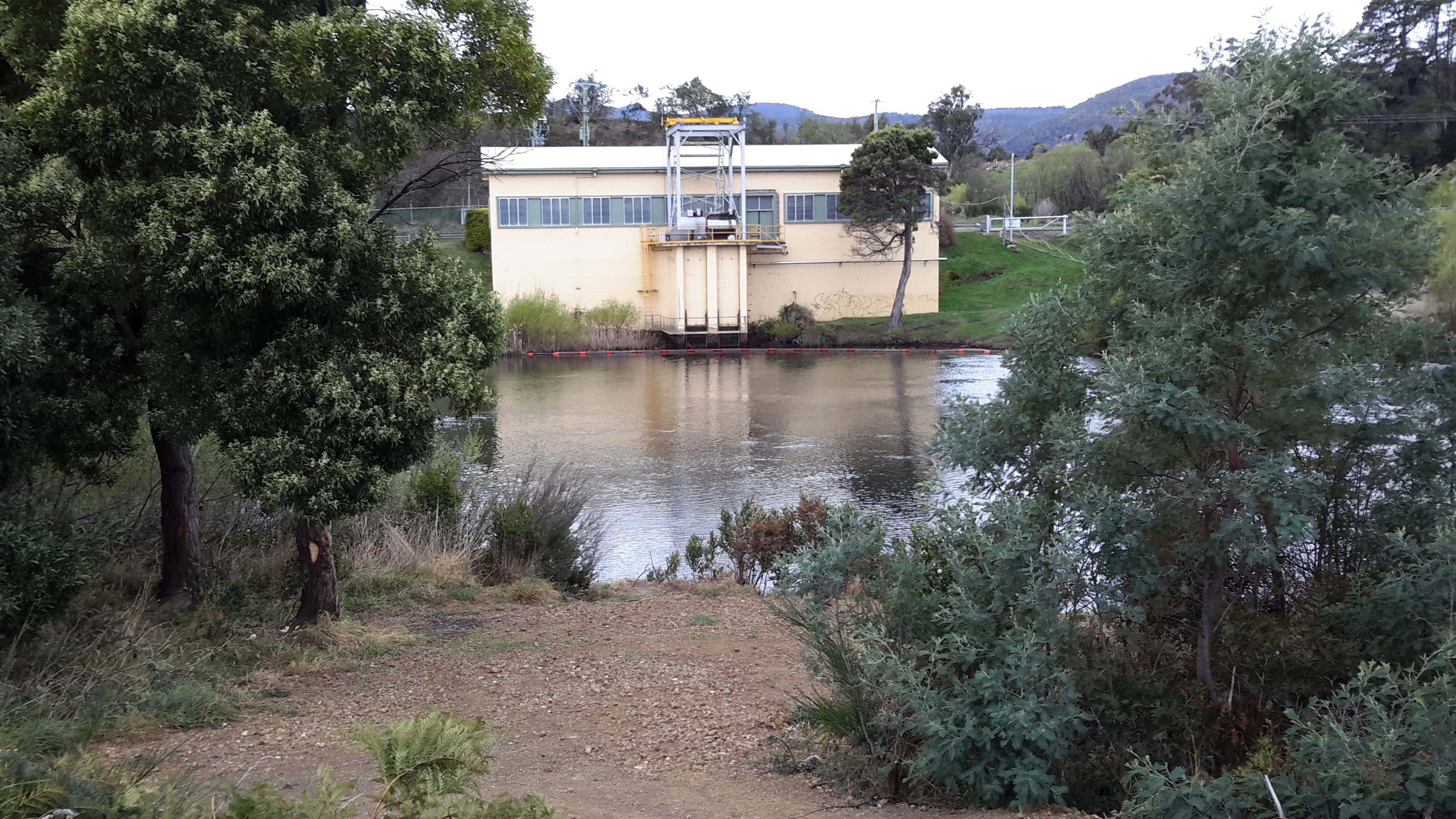
I continued on from Atherfield House and, after passing the Glenfern Rd turn off, I walked westwards until a clearing gave me unexpected access to the river and a full view of a heavy building on the other side. I have not been able to determine the function of this stand-alone structure, however I suspect the building somehow connects with structures soon encountered on my side of the river further along.

On the non-river side of the road some acres had been circled with high protective fences.

This was Bryn Estyn, a Water Treatment Plant.
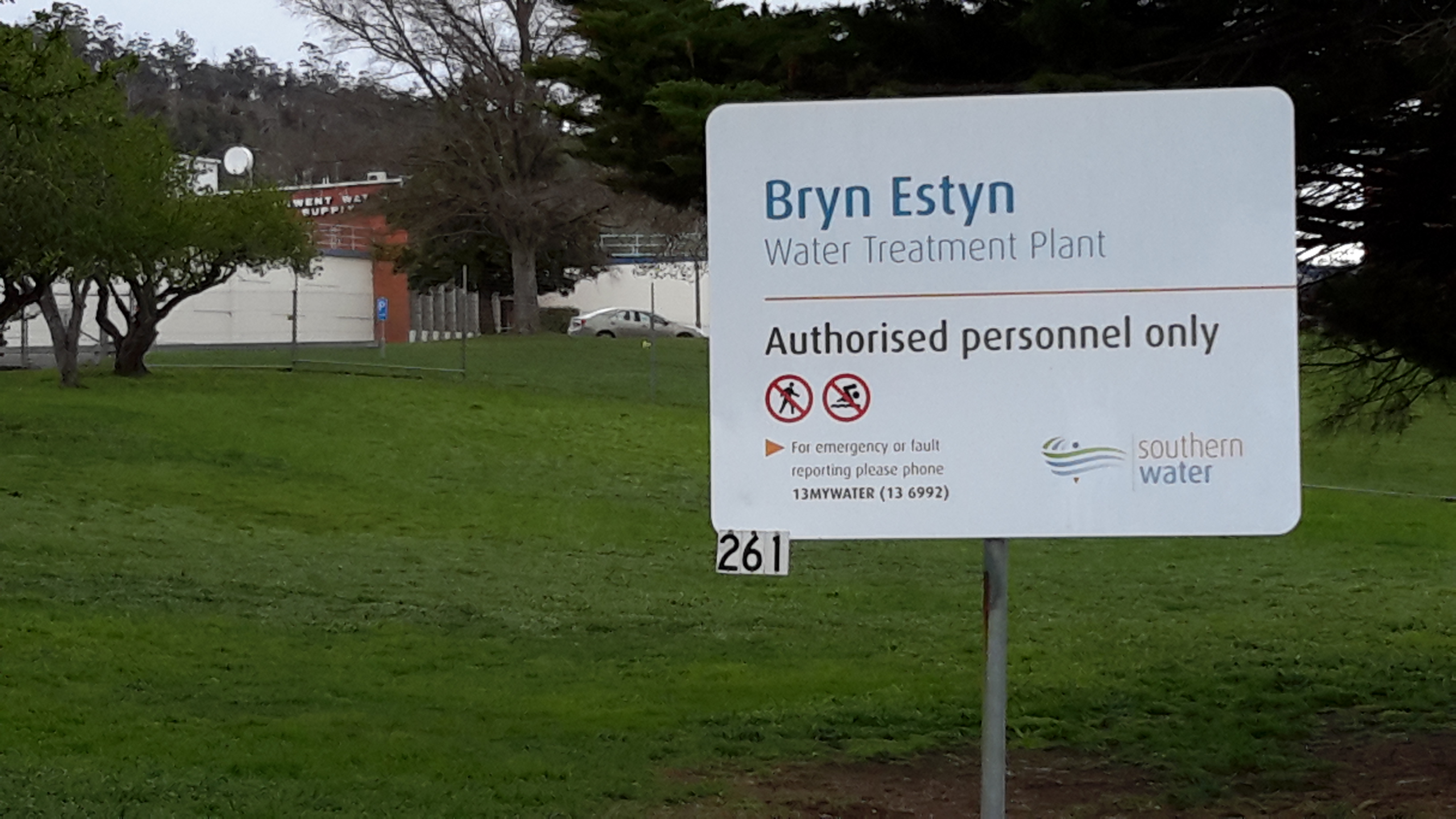

I wondered if I was dreaming; were the two golden projections on top of the building simulated sheep?
Fences and limited or non-existent river access were the most memorable features of my walk. A good example of these barriers is shown below.

In the photo above you can see the Lyell Highway on the other side of the river. This road sits close to the river for many kilometres then turns inland away as it wends its way to Tasmania’s west coast towns of Queenstown, Strahan, Zeehan and Rosebery – via Derwent Bridge at Lake St Clair.
