Category Archives: Tasmania

Either side of Bowen bridge – posting 7 of 9

Quite quickly I reached the point directly opposite INCAT, while walking around Dowsing Point. I loved the  slabs of rock making up the shore edge. In particular I loved the fluorescent lime green moss/sea vegetation where exposed by the low tide.

20170125_110004.jpg

20170125_110013.jpg

20170125_110056.jpg

20170125_110051

The various high tidal marks on a pebble beach left parallel rows of stones and empty oyster shells.

20170125_110221.jpg

20170125_110202.jpgUnderwater, and still attached to rocks, were the bottom half of oyster shells minus their tasty flesh.


20170125_110238.jpg

Did I have company? – posting 6 of 9

On both sides of the Bowen Bridge lots of dry tall yellow grasses and other scrubby undergrowth grew next to the path. I was the only person around and the track appeared to be used rarely. The area was isolated; the closest residential area was over one kilometre away and I suspect that locals would seldom walk here. With the heat of the day and the nearness of the river, I was alert for the slither of snakes heading down for a desperate drink. However, I feel sure they would be deranged if they drank salty water  –  the Derwent is tidal at this point. Nevertheless I  did not want to step on or corner one – all Tasmanian snakes are venomous.

Strangely, not only did I not see a snake but I also did not see a water bird.  Thankfully there were a few chattering birds in the casuarina and eucalypt trees to keep me company.

Earlier in the day when I was walking around the Technopark fence line downhill nearest the Derwent River,  I had watched dozens of brightly blue and red coloured beetles- I haven’t seen these before, and a website for identifying Tasmanian beetles does not include this one.  Anybody any ideas?

20170125_084516.jpg

20170125_084523.jpg

The experience was very pleasant and I would be very happy to wander this way again.

Word of caution for others who might follow in my footsteps: the seedpods of the casuarina were liberally sprinkled along the pathway and in the light dappled by the trees, full concentration was required so that I didn’t roll on them – a sprained ankle or a fall down the slope were just two possible consequences if I did not watch where I was going.

20170125_105440.jpg

Either side of Bowen bridge – posting 5 of 9

Once under the Bowen Bridge I could see a track continued in the easterly direction, and skirted around the bottom of Technopark.

20170125_104953.jpg

20170125_105002.jpg

20170125_105044.jpg

100 metres along this track I spotted the only sign of bureaucracy.

20170125_105314.jpg

I imagined I might surprise a fisherman at the end of the track or detect one who had made his or her way from the track to the water’s edge and was partially hidden by the bush. But I never did. I never saw anyone.

As I continued walking I spotted the township of Risdon across the river.

20170125_105336.jpg

20170125_105554.jpg

And then the large industrial plant of Nystar came into view.

20170125_105544.jpg

Most prominently, the gaping ‘mouths’ of the  boat building company INCAT stood across the inlet of the Derwent River (Prince of Wales Bay) from Dowsing Point.

20170125_110009.jpg

20170125_110021.jpg

20170125_110024.jpg


Either side of Bowen bridge – posting 4 of 9

I decided to walk from the Bowen Bridge around Dowsing Point towards the Derwent Entertainment Centre on the Glenorchy side of the bridge.  A faint track showing occasional foot traffic looked promising and became my guide.

20170125_095351.jpg

Early in the walk along this track, easy views to and access to the water were not possible although as time passed the river came into constant view. 20170125_095427.jpg

20170125_095500.jpg

Then the pebbled and rocky shore appeared.

20170125_095708.jpg

20170125_095446.jpg

I was delighted when I came across a slight semblance of a track down to the river’s edge.  Soon I was on the shore and walking that rocky ‘beach’.  The wind was fierce but not cold. My sunhat had no chance of staying attached to my head. I lathered on the sunscreen hoping for wind protection. But it was fresh and invigorating. The air was alive and so I felt even more alive. And so pleased that my return visit to Dowsing Point had been able to bring me down to the water of the Derwent River.

20170125_095949.jpg

20170125_100033.jpg

20170125_100222.jpg

20170125_101115.jpg

Clearly native oysters grow on the rocks near the shore.  The whitening shells of long dead oysters were thrown up at the high tide level.  I was surprised not to see any Australian Pied Oystercatcher birds looking for a meal.

20170125_100126.jpg

I continued walking around the contours of Dowsing Point, thankful that the tide was out and the shore was wide enough, dry enough and had no insurmountable obstacles. But beneath the northern section of the fenced-in defence forces precinct suddenly the ground became marshy and a trickle of water in a swampy like environment emptied into the Derwent. I did not believe this was passable.  Perhaps if the tide had been lower and if I was wearing gumboots, I might have continued.  On another day, this most likely could be a doable section and one I could tackle from the Derwent Entertainment Centre end of the walk.

After searching unsuccessfully for alternatives, eventually I retraced my steps, and climbed a grassy hill for another view of the obstacle – which looks benign in the photo below.

20170125_103014.jpg

I have walked along the Dowsing Point suburban streets with paddocks at their ends that extend to the shoreline shown above, such as Park Road and Dwyer Place. Unfortunately high fences,  locked gates and dead ends prevent access to this defence forces land.  Trespassers Prosecuted signs were a deterrent.  20170125_091847.jpg

20170125_092014.jpg

20170125_092225.jpg

From the obstacle preventing my continued shore walking,  I turned back and walked towards the Bowen Bridge.  Eventually I left the beach after reconnecting with the hillside track used earlier.

20170125_100021.jpg

20170125_100230.jpg

Occasionally, next to the faint track through the grass, someone had placed track markers – coloured rectangles on posts. Very thoughtful.  On the way back I found a wonderful confusion of markers; just as we know some mailbox catalogue deliverers dump a pile of undelivered catalogues in drains or over someone’s fence, it seemed the person placing the track markers dumped his/her extras. So there I was, faced with an amusing mini-forest of markers all pointing nowhere and signifying nothing.

20170125_103746.jpg

The markers of mankind are always there to be found, and to be puzzled over by those without experience.  But I found my way and soon returned to the Bridge.

Either side of Bowen bridge – posting 3 of 9

Once at the bridge, I made my way  through long grass and weeds to the fence line hoping to find a gap or to be able to follow the fence downhill and arrive at the water’s edge.   I was relieved when the fences stopped giving me open access to the land below. The Derwent River was clearly visible so I continued scrambling downhill until I stumbled across a track which I followed under the bridge.  20170125_094951.jpg

20170125_094956.jpg

20170125_095256.jpg Once under the bridge I discovered a set of concrete steps which would have made descent easy.  To access these from the bridge pathway above, walk to the left of the plaque and then follow the bridge wall downhill until the steps are reached.  There are no gates to block progress.   20170125_095126.jpg

20170125_104732.jpg

20170125_104538.jpg

Either side of Bowen bridge – posting 2 of 9

As I left Technopark I had a view of a new aspect of the Derwent River.

The Derwent River flows into Prince of Wales Bay and consists of tiny inlets including one at the bottom of the Dowsing Point hill.  I noted there were  no opportunities to walk next to the edge in the bay below – either vegetation hung over the water or private jetties and businesses crowded the edge.

20170125_090417.jpg

20170125_090358.jpg

20170125_090520.jpg

20170125_090532.jpg During the many vehicular crossings of the Bowen Bridge that I have made, I could never see where it would be possible to climb down and be under the bridge. Nevertheless I felt there must be a way.

I walked along a path from the Australian Army Derwent Barracks on Goodwood Road that leads to and crosses the bridge.  The quality of the path is variable and I suspect it is not much used. One cyclist passed me on my walk to the bridge and no-one was around during my return trip.

20170125_093341.jpg

20170125_094433.jpg

20170125_094721.jpg

20170125_111833.jpg

At the bridge I noticed the large bronze plaque marking the official opening of the bridge – heavily graffitied.

20170125_104645.jpg

But was there a path to the river below?  The absence of signage was not encouraging.

Either side of Bowen bridge – posting 1 of 9

Stage 8 of my walk from the mouth the source of the Derwent River took me under the Bowen Bridge on the eastern shore, and during Stage 10 I walked past the Bridge at Dowsing Point on the western shore after deciding to walk to the mouth on both sides of the river. However, when on the western shore I could not easily see a way to stick by the river edge at Dowsing Point, and since that day promised to be a long one I took the easy option and followed the streets which cut across the Point. I always felt that I hadn’t been quite honest in taking this approach and that I needed to return and be serious about walking the Derwent edge to the extent it was possible.

So return I did, and this series of postings records that visit.

As usual within the Greater Hobart Area, I took a Metro bus which dropped me off one morning within the Technopark precinct at Dowsing Point on the Hobart side of the Bowen Bridge. Technopark is a state government initiative started over 15 years ago with the aim of providing support and encouragement for small businesses and creative individuals with technological related ideas that could be developed into significant money earners for Tasmania’s productive growth. It’s brief has expanded since its inception.

By leaving the bus at the turning circle within Technopark I hoped there might be ways to walk to the river edge and then continue around Dowsing Point.  Until I looked around that day, I had not realised this precinct is seriously fenced, including the installation of electric fencing, and there is no exit except through the main fortified entrance gates.  In the photo below you can see three layers of fencing, with barbed wire strung up at the top of the closer two fence lines- and the Bowen Bridge across the Derwent River in the distance.

20170125_084025.jpg

I walked to corners and along the fence lines without finding a gap, a gate or any chance of passing through.  I could see the Derwent River and the Bowen Bridge with Mt Direction overlooking both – but I could not reach them from the Technopark site.

20170125_084247.jpg

20170125_084753.jpg

20170125_085012.jpg

20170125_085019.jpg

So I had no choice except to leave the Technopark and try other options to reach the River.  The day displayed a stunning blue sky overhead and a moderate breeze which rattled the long grasses.  Mount Wellington was ever present as I walked away from the river.

20170125_085256.jpg

Before long I passed through the gates and headed away from Technopark with the aim to walk to the Bowen Bridge.

20170125_085847.jpg


Big trees

One of the water flows which feeds into the Derwent River is the Styx River.  Long term blog readers will recall, in an early stage of my walk along the Derwent River, I passed the point where the Styx flows into the Derwent in the township of Bushy Park.

20150918_114313.jpg

20150918_114425.jpg

These clear clean waters, and those of the Derwent River are used to irrigate hop fields.

So when media headlines recently mentioned the Styx, I was alert and interested.  The story focuses on an area further inland and in a very remote section of the Styx Valley. You can read more here about the process of photographing one of the world’s tallest trees – and the article includes some sensational photos.

A frisson of excitement pulses through me at the thought of those wonderful primeval forests.  Fresh and clean and original.  But alas, I believe these trees are close to forestry operations where similar trees are routinely clearfelled –  for wood chips! Refer here and here for more thoughts on the matter. If you use Google Maps to look at the Styx River area, a patchwork of logged areas are clearly visible.


Between Wayatinah and Catagunya Power Stations- posting 6 of 6


The goal was achieved. It was great to have it done. I am very grateful for Andrew’s generosity of spirit and for his notes and photographs. The walk between Wayatinah and Catagunya Power Stations could be ticked off the list. But a long walk back to the Lyell Highway had to be faced before returning home. Andrew turned north for the 7 km walk on Catagunya Road. He passed a mix of open unfenced paddocks and distant plantations. The Cooma farmstead and outbuildings were the only marker that people had lived in the area.

DSC01747e.jpg

For a brief moment he thought he would have company. Andrew had been walking for a while when, in the distance on a straight stretch of road, he could just make out a couple of figures coming slowly towards him.  Someone to say g’day to and have a natter  – but  – on closer inspection they transformed into ambling sheep. After that, Andrew’s company all the way back to the locked gate was a rather large herd of very healthy looking quadrupedal steaks – which, with a spritely step, he kept ahead of. After some 7 hours of pleasant walking, this walk along the Derwent River was over.   There had been time for plenty of stops during the day to take photographs and to enjoy the surroundings.

Hydro Tasmania, TasNetworks and forestry related employees can drive over the convoluted maze of tracks between the two dams, but there are numerous locked gates and no general public access.  Even during the walking, many locked gates with serious double and complicated locks were seen. I have said in earlier postings that landowners and managers in the Derwent Valley and Central Highlands can recite histories of bad experiences with people entering their lands and not treating it appropriately or stealing their wood or livestock. It is a shame that a few people wreck it for the rest, and remove the opportunities for those who care for the land and the property of others and wish to explore more of our wonderful Tasmanian natural environment.


Between Wayatinah and Catagunya Power Stations- posting 5 of 6


Above the complex of Catagunya Lake, Dam and Power Station there were a number of viewing points from which to study the construction of the dam, the head race, switch yard, etc. It was so easy to admire the engineering feat that established this enterprise. Water was not moving in the race so it seemed that the Catagunya Power Station was closed down.  Maintenance? Too much power being generated elsewhere? Water conservation and therefore prudent power generation management practices?  The reason is unknown.

DSC01733e.jpg

DSC01736e.jpg

DSC01734e.jpg

Did you notice how thin the water race walls were?  If you imagine the pressure of the water in the race you might believe the walls should be thicker. Certainly, when compared to those of Tarraleah Canal No 1 (refer to photos in my earlier postings) these walls are much slimmer, and they do not have cross beams linking both sides together.

Did you notice the ladder over the wall?  On this side and a second on the other side?  This is more than is on offer in Tarraleah Canal No 1.  Of course the ladders would be used as part of maintenance programs when the race is empty, and only a fool would step over the edge while the race is full of water. Since the power generation could be restarted at any moment, the speed of the water flow would almost immediately turn anything in that water into an electrical spark.

When looking at the Dam wall, Andrew saw specks of movement; these were the only people encountered in the whole day – three workers doing some work on the curving face of dam’s spillway. Can you spot them in the photograph?  They are working on the yellow curved frame which has been custom built to move from left to right across the curve of the dam wall.

Andrew remarked, “I could hear their voices echoing off the concrete walls, but they were far too distant for them to see me”. There was no-one at the Power Station itself – so Andrew passed by with no-one the wiser that the visit had occurred.   One sign attracted his attention.

DSC01740e.jpg

It was quite extraordinary to see a sign with an image of a dolphin so far inland. Hydro Tasmania must be congratulated for alerting others to the damage which can be done to marine life should people pollute Lake Catagunya/the Derwent River.   Apart from the damage to sea life 60% of Hobart’s drinking water comes from the Derwent River so the protection of these waterways is of paramount importance.

Between Wayatinah and Catagunya Power Stations- posting 4 of 6

Eventually Andrew reached cleared paddocks at the point where the transmission line swung to the south east.  The going then was much easier through low scrub in a shallower gully and then up onto the summit of Bushman’s Hill, some three hours after the start of the day’s walk.  From this hill Mt Wellington above Hobart was visible in the distance, and Andrew’s mobile phone pinged. He had come back into mobile phone coverage range. The one occasional bar of reception was enough for a text message but not sufficient for a phone call. Bushman’s Hill offered a very comfortable spot with the occasional shade tree and logs to rest on.

DSC01689e.jpg

After a quick lunch around 1 pm, Andrew followed the power line easement hoping to get to  Lake Catagunya’s edge. Unfortunately, the terrain became impressively steep and scrubby with a coverage of thick ferns towards the bottom so that idea was abandoned.

Before crossing Lake Catagunya’s inlet, as Andrew skirted around looking for a cross over point, Dunns Hill stood prominently. This hill, pictured below, had to be traversed to reach Catagunya Dam and Catagunya Power Station. But first the water had to be crossed or walked around.

DSC01692e.jpg

The challenge was to find a way of by-passing the large inlet of water where Black Bobs Rivulet enters Catagunya Lake. By heading 1 km north, north east, then east through open forest and then progressively steeper country Andrew reached a point where the rivulet hit the Lake. Right at the junction the exposed rock made for an easy rock-hop to the other side (in flood this part would be impassable as it is obvious that it carries a lot of water after heavy rain). He was so glad to see the low water level at that point. otherwise it would have meant wet feet or more kilometres of walking to skirt around this obstacle.

The first photo below of Black Bob’s Rivulet looks upstream and the second looks downstream to where it enters the lake.

DSC01693e.jpg

DSC01695e.jpg

The open hill in the distance on the second photo is located north of Catagunya Dam and on the other/eastern side of Catagunya Road – this is not Dunns Hill.  Once over Black Bob’s Rivulet, the direction taken was south towards Dunns Hill. After a short scrub-bash, the route emerged into the open paddocks of the cattle country surrounding Catagunya Power Station. Andrew then climbed 1 km steeply up Dunns Hill to rejoin the power lines.  The reward for reaching the top of Dunns Hill was a fine view down into the Lake and westwards to Wylds Craig.

DSC01702e.jpg

Looking westwards the continuing power lines disappear into the distance. The undulating nature of the landscape is also on show.

DSC01698e.jpg

The glorious openness of Dunns Hill with its vistas on a sunny day, provided the stimulus for creative photography showcasing the patterns offered by the electricity transmission pylons and the grass.  DSC01711e.jpg

DSC01721e.jpg

DSC01724e.jpg

The final kilometre to the power station was through open grasslands, buzzing with grasshoppers and butterflies.  It was like creating a bow wave; with each step the masses of insects were spread ahead.  My walk from Lake Repulse Dam to Catagunya Dam was in similar country and the postings  3 and 4 of 13 talk about my experiences with grasshoppers and butterflies.

I am very keen on grass with its colours and textures. Long term blog readers have seen many photos of grasses taken in many locations during my walk along the Derwent.  Andrew’s photo below shows Dunns Hill grass moved by the breeze.

DSC01712e.jpg

Navigation during this walk was never in doubt – the prominent shadow on the grass from the transmission cables overhead marked the route to the power station!  See the shadow line in the photo below.  Of course if the inland forest plantation/logging roads had been followed (which might be necessary in wet weather and when Black Bob’s Rivulet was flooding), then using GPS equipment would have been essential to keep track of your location. power-line-shadowv2-1

The day was glorious and the following panoramic photo captures some of that magic.

DSC01708e.jpg

Between Wayatinah and Catagunya Power Stations- posting 3 of 6


After crossing the first creek,  a steady climb brought Andrew to the first of the huge transmission towers.  To the west, the dramatic dolerite outcrop known as Wylds Craig with a cloud capping its head, stood on the horizon.  Way below, sections of the slender, curved Lake Catagunya were apparent.

DSC01675e.jpg

Between this point and the next pylon interposed a very deep gully which, on the other side, rose steeply through thick scrub. Towards the top on the other side, parts looked very intimidating and gave the impression it might have required a steep and scrubby scramble. As an alternative, a vehicle track was found here – presumably the access route for transmission tower maintenance and for the occasional vegetation slashing. This looked like an easier route than the scrub-choked gully so Andrew followed the track away from the transmission line – it went for a considerable distance ‘inland’, rising continuously and passing through another locked gate, until it hit a high point in forestry plantations before dropping back to the transmission line easement. It was not clear if taking the long distance of the road was easier than the shorter but steeper climb up the gully – either way, Andrew elected to stick to the transmission line for the rest of the walk.

A discernible hum could be heard while walking beneath the power lines; was it wind in the wires, vibration or something electrical?

DSC01680e.jpg

DSC01688e.jpg

The next gully was equally scrubby, but the thickest part could be passed a short distance to one side, on the edge of the forestry plantation in which recently planted seedlings grew. The subsequent deep gully was passed easily by contouring a little to the north in lovely open forest with occasional views to Lake Catagunya lying far below steep and forested slopes.

DSC01686e.jpg

DSC01687e.jpg


Between Wayatinah and Catagunya Power Stations- posting 2 of 6

Throughout the walk between the Wayatinah and Catagunya Power Stations, a number of creeks cut across the power line easement creating deep gullies with their own special environments of thick forests. In some spots these make progress slow.

Only the first creek had running and potable water. The other creek beds were dry and even if water had flowed, the extensive plantation forests or agricultural lands where chemicals are used, sit upstream so it would have been inadvisable to drink the water.

Long term readers know how on my walks I have been able to see the Derwent River (and its lakes and dams)  but in almost all cases I could not reach it to refill my water bottles.  The escarpments, rocks, steepness and dense vegetation to the water’s edge prevented access.  With that constraint plus finding dry creek beds, managing my water supply was always a challenge.  Water, water everywhere/over there but not a drop to drink!  Despite the weight of water, I strongly advise anyone walking inland in Tasmania in summer to carry plenty of water.


Between Wayatinah and Catagunya Power Stations- posting 1 of 6

Anticipating a comparatively easy and short day of walking, my proxy Andrew left Hobart at 7 am and drove westwards and inland along the Lyell Highway, until reaching Catagunya Road where he parked his vehicle at the locked gate.

20151029_145020.jpg

A friend drove him further along the highway, turned left just before the Liapootah Power Station and proceeded along the gravel surface of Long Spur Road towards the Wayatinah Power Station.

He arrived at the western side of the Station but needed to be on the eastern side to start this sector of the walk. Because it was not possible to cross over the Power Station outlet, and access through the Power Station is not permitted, Hydro tracks were followed to the most accessible part further away from the Lake Catagunya/Derwent River. Private vehicle access to the penstocks and beyond was prevented by a locked gate on the approach to the top of the penstocks, so the walk started there around 10 am. While it would have been possible to scramble beneath the penstocks, a detour to where the penstock began high up on the hill seemed like a good idea.

Wayatinah’s penstocks consist of two massive parallel pipes that carry water from the tunnel bored through from Wayatinah Lagoon. The pipes are approximately 1.2 km long and are made entirely of timber – coopered like gigantic continuous barrels. To keep it all together they are tightly bound with steel straps which keep the joints snug, save for the occasional trivial leak. Interestingly, inserted into the walls of the pipes every 50 metres of so, is a fire hose outlet (obviously the timber pipelines are not only protected from the inside!).  DSC01655e.jpg

DSC01657e.jpg

DSC01658e.jpg

The walk began by heading around the top of the penstocks where they emerge from the tunnel.

DSC01651e.jpg

There is an impressive view down the length of the penstocks to where they disappear around a distant bend for the final approach to the Wayatinah Power Station.

DSC01663e.jpg

On the far side of the penstocks a good track leads down to the huge surge tank near the entrance to the power station. The glorious panoramic photo below distorts the view so I have also included a Google Earth aerial shot so you can understand the situation.

DSC01666e.jpg

Google Earth view of WPS and surge tank.JPG

Past the surge tank but before the Power Station, a power line easement heads east, then south east, over a series of ridges and gullies to Catagunya Power Station. The forest next to the track leading to the easement was open with healthy eucalypts, dogwoods and some wattle trees sprinkled across the landscape. The day’s walk was a combination of traversing hills and gullies, and the next photo gives an appreciation of one of the more gentle hills.

DSC01670e.jpg

Because of the steep and scrubby terrain, it was not viable to access or follow against the edge of Catagunya Lake (Derwent River) at water level. Instead, following the power line ‘clearing’ was the smart alternative.

Once serious walking along the transmission line ‘clearing’ began, it was obvious that sections had not been slashed in a long while. The going was irregular with patches of scrubby low level vegetation and fallen logs to negotiate so that, occasionally, Andrew walked off to one side for a clearer route. The next photo shows an example of a less straightforward area along the easement under the power lines, and helps to explain why deviating from this line made sense during the walk.

DSC01678e.jpg

Did you know not all penstocks are constructed using steel?

This post provides a background on an extraordinary feature of the walk between Wayatinah and Catagunya Power Stations along the Derwent River.   It is about one of the great surprises of this  ‘walking the Derwent’ project and, as such, reminds me that even the most ordinary of explorations can unearth new discoveries (for those not familiar with an industry – in this case, the industry involved with penstocks).

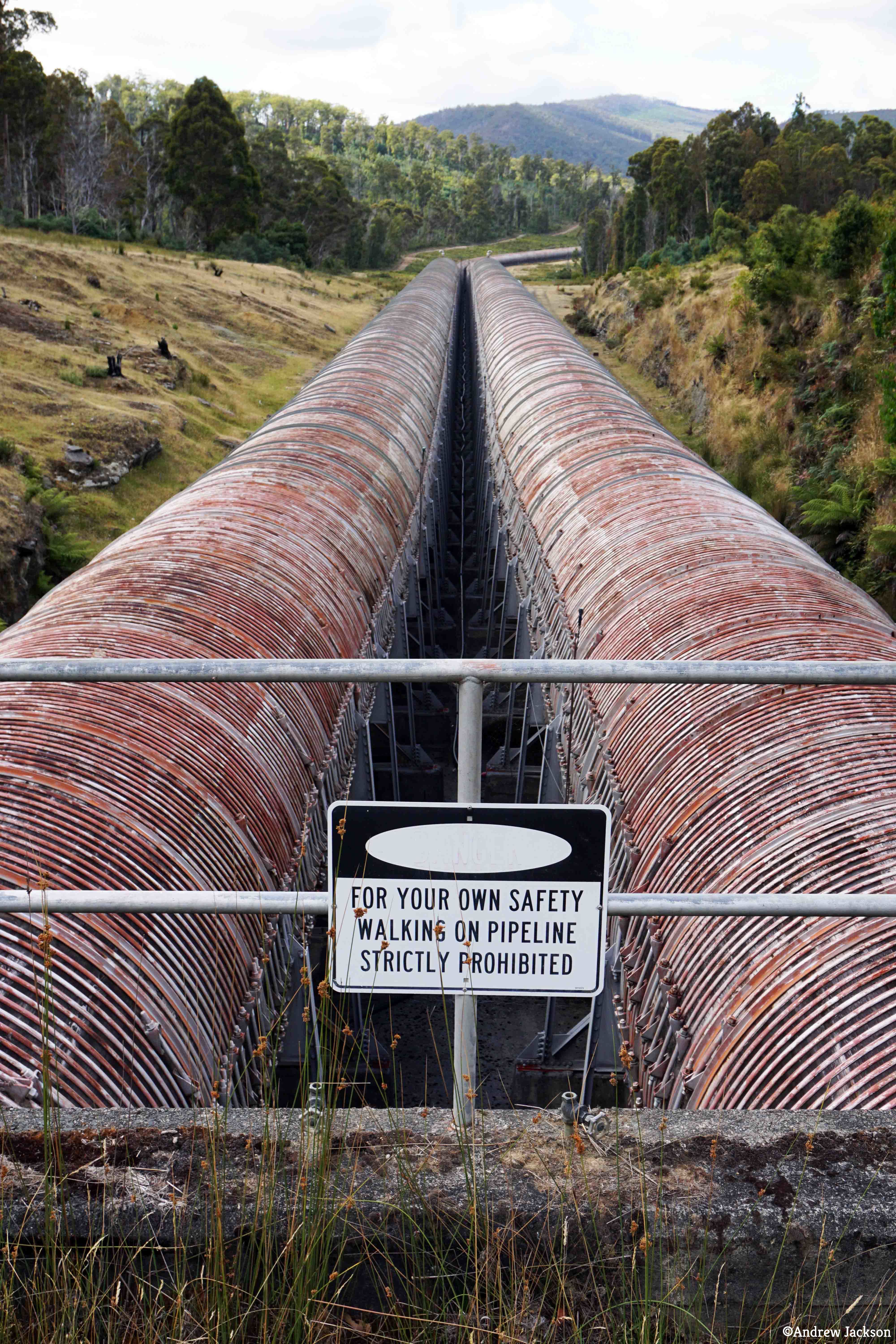
Okay okay okay I know some readers will have rolled their eyes wondering what a penstock is.  A penstock is a very large pipe that is laid downhill through which water falls at high speed to an electricity generating power station.  Refer to photos in some of my earlier posts such as: Derwent River water passes via the township of Tarraleah .

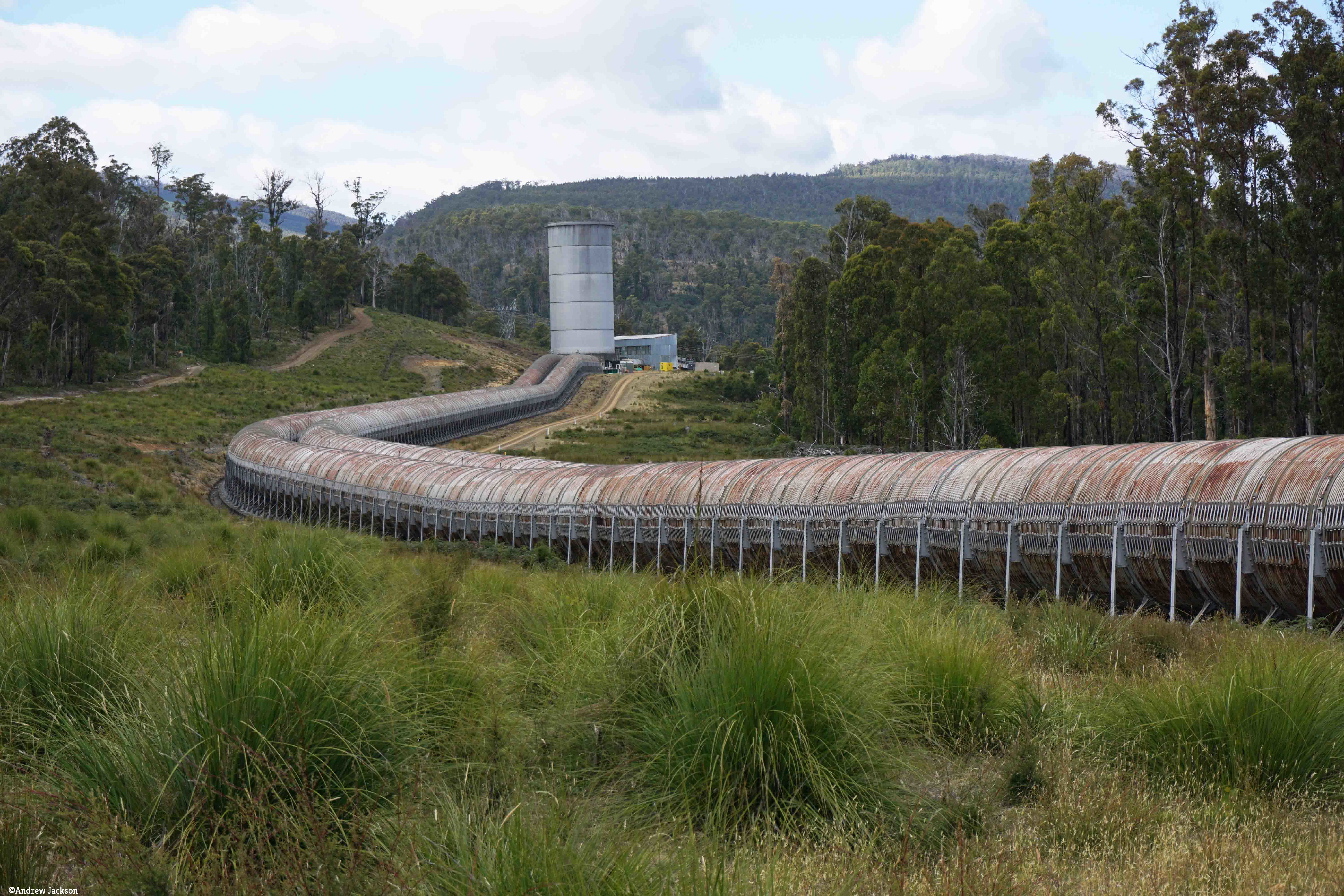
My typical experience of penstocks, as conduits for water gushing into electricity generating power stations, is of massive steel structures.  I suspect this would be the expectation for others who have seen Tasmania’s penstocks only from the vantage point of our highways.  For people like me, the wooden penstocks feeding Wayatinah Power Station are astounding and therefore I thought it would be of value to undertake some research and learn more. Andrew’s photo below shows the wooden penstocks emerging from an underground tunnel and sloping down towards the Wayatinah Power Station.

dsc01651e

The questions which come to mind include, are there any other wooden penstocks in Tasmania, what wood is used, when were they built, why weren’t they built with metal, who built them, how effective are they, and what is their life span. In my research a constant term was ‘stave’. A stave is a narrow length of wood with a slightly bevelled edge to form the sides of barrels, tanks and pipelines, originally handmade by coopers.

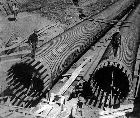
After a little research I now know that wooden penstocks are not unique to Tasmania and have been built in a number of countries including Britain, Canada and the USA. For example, wooden penstocks were built for hydroelectric facilities in Lincoln County, Wisconsin, USA as shown in this article.  This web site contains a great deal of construction and other information which I imagine is similar to that for Tasmanian wooden pipelines, and therefore worth reading. The photo below, from that website, shows redwood penstocks at the Thomson Hydroelectric Station in eastern Minnesota, Wisconsin.

  redwoodpenstock in USA.jpg

The website answered some of my questions: “Why wood? First and foremost, keep the wood thoroughly wet and it will not rot. If there is an issue, it has to do with the quality of the metal bands. Expansion joints are not required as the wood absorbs the water and expands. Steel restraining bands are used and the wood will expand against those. The metal bands are used only to provide strength. Even when they corrode and lose their strength, the wood will hold together and the bands can be easily replaced. The carrying capacity exceeds that of metal pipe, in large part because the interior walls remain smooth and do not form tubercles. The wood components are easily transported to the sites, which can be remote. No massive hoisting apparatus is needed. They do not require concrete foundations, but “float” on the gravel. The wood is easy to bend, so the contractors can follow a more natural contour; for example, bending around curves. There is no need to cover them. The wood has natural insulation. They can last for 40-50 years. Simple carpentry can be used for repairs. Assembly is easy.

Why do we see so any leaks? Leaks do occur at the end of a stave, at what is called the butt-joint, most often when combined with a breakdown or severing of a steel band at that point. In addition, steel plates are sometimes placed in the slots at each stave end, and these steel plates can corrode. Also, some erosion can occur at the end of a stave, and develop into a hole. In this instance, the steel band in that area might corrode and sever, and the pressure of the water inside might break off a section of the stave, however small. Metal corrosion also sets up a mild acidic condition. The acid can degrade the wood. There can be a breakdown in the staves when the water pressure inside varies a lot. You will seldom see wooden penstocks for example in positions where turbines can vary the water pressure output in large degrees. This creates what is known as the hammer effect which can beat up a wooden penstock quickly. It’s best to try to keep the inside water pressure as even as possible. This said, small leaks can self-repair as the wood expands. Even large breakdowns in the staves can be repaired. In most instances, the leaks are tracked closely and there is very little risk of a catastrophic failure. “

The hole in a penstock and the story of its repair speedily within one week for the Jackson Hydro Station in New England, USA can be seen here. Another rupture coverage, this time in Quebec, Canada is covered here.  I was surprised when this website included photos of other wooden penstocks around the world including a photo of one of Tasmania’s wooden penstocks.  It looks remarkably like Wayatinah’s penstock, and there are outbuildings in view and some dates as well.  Perhaps a blog reader can make a more accurate identification.

It seems there are only two Tasmanian power stations being supplied by water flowing down wooden penstocks: Lake Margaret Power Station (not on the Derwent River) and Wayatinah Power Station.   Wikipedia  explains the situation in relation to the Lake Margaret Power Station here. For more information refer to the fact sheet for Upper Lake Margaret Power Station, the fact sheet for the Lower Lake Margaret Power Station, and a  note regarding Innovation and heritage feature in Lower Lake Margaret redevelopment. Photos of the pipeline can be seen in Lake Margaret Power Scheme A Conservation Management Plan. I found the photos on pages 11 and 19 particularly helpful with pinpointing the location.

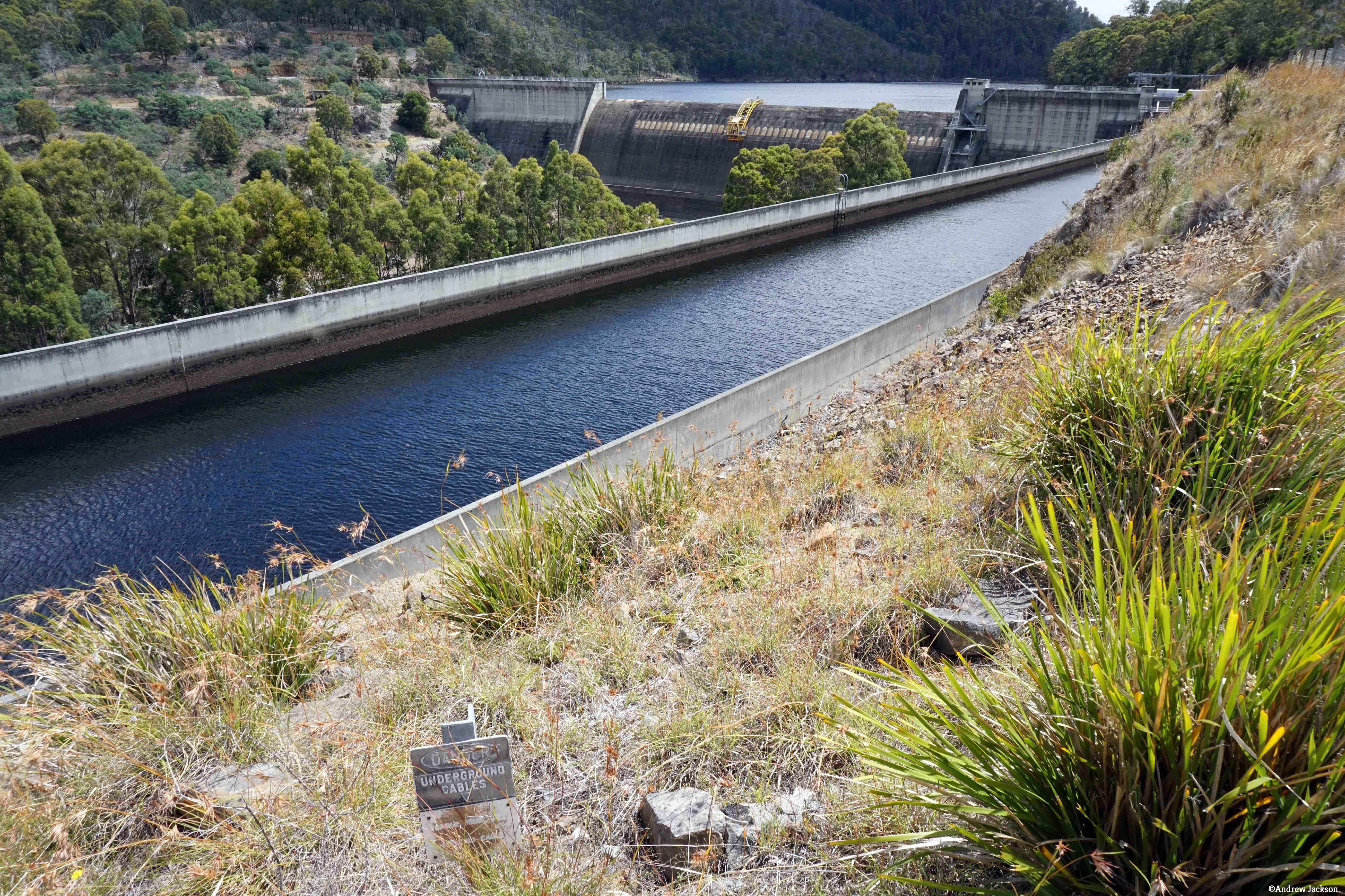
In relation to the wooden penstocks feeding the Wayatinah Power Station,  a You Tube video is worth watching. Page 25 of the booklet ‘The Power of Nature’ includes a photo of the woodstave penstocks at Wayatinah. Other informative photos of dams and power stations and penstocks associated with other parts of the Derwent River are also presented.  Most are glamour shots taken from excellent locations and, after the gritty often basic photos which I have taken, these make the extraordinary engineering feats look even more magnificent and significant. This website offers the following information:  “Wayatinah is the sixth station on the Nive/Derwent cascade and is downstream of Liapootah HPP. Water is supplied from a small storage lake called Wayatinah Lagoon and diverted into a 2 km tunnel to two 1.3 km low-pressure wood stave pipelines. Finally, water drops 56 m through three steel penstocks to the powerhouse.”

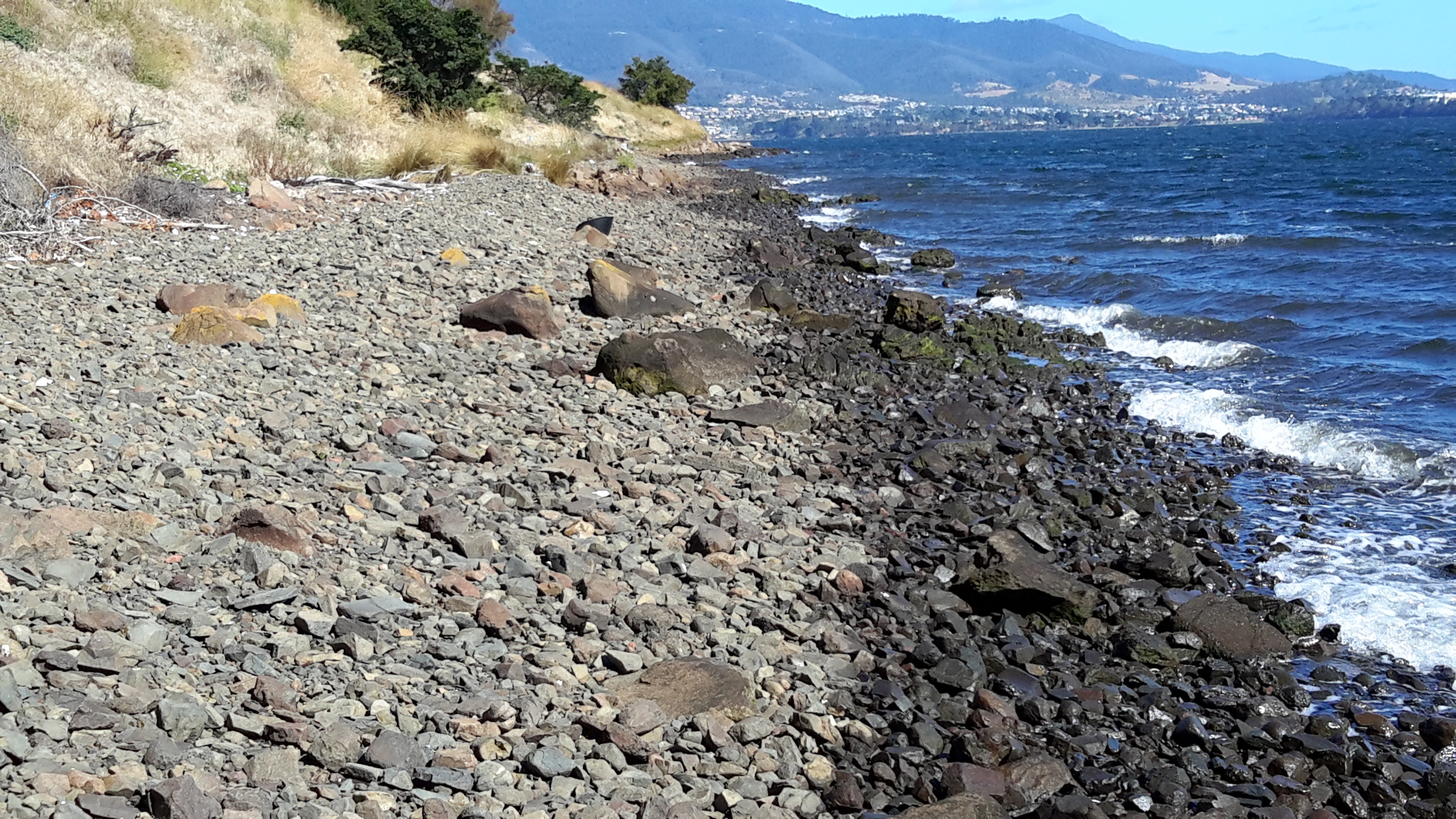
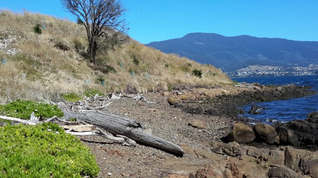
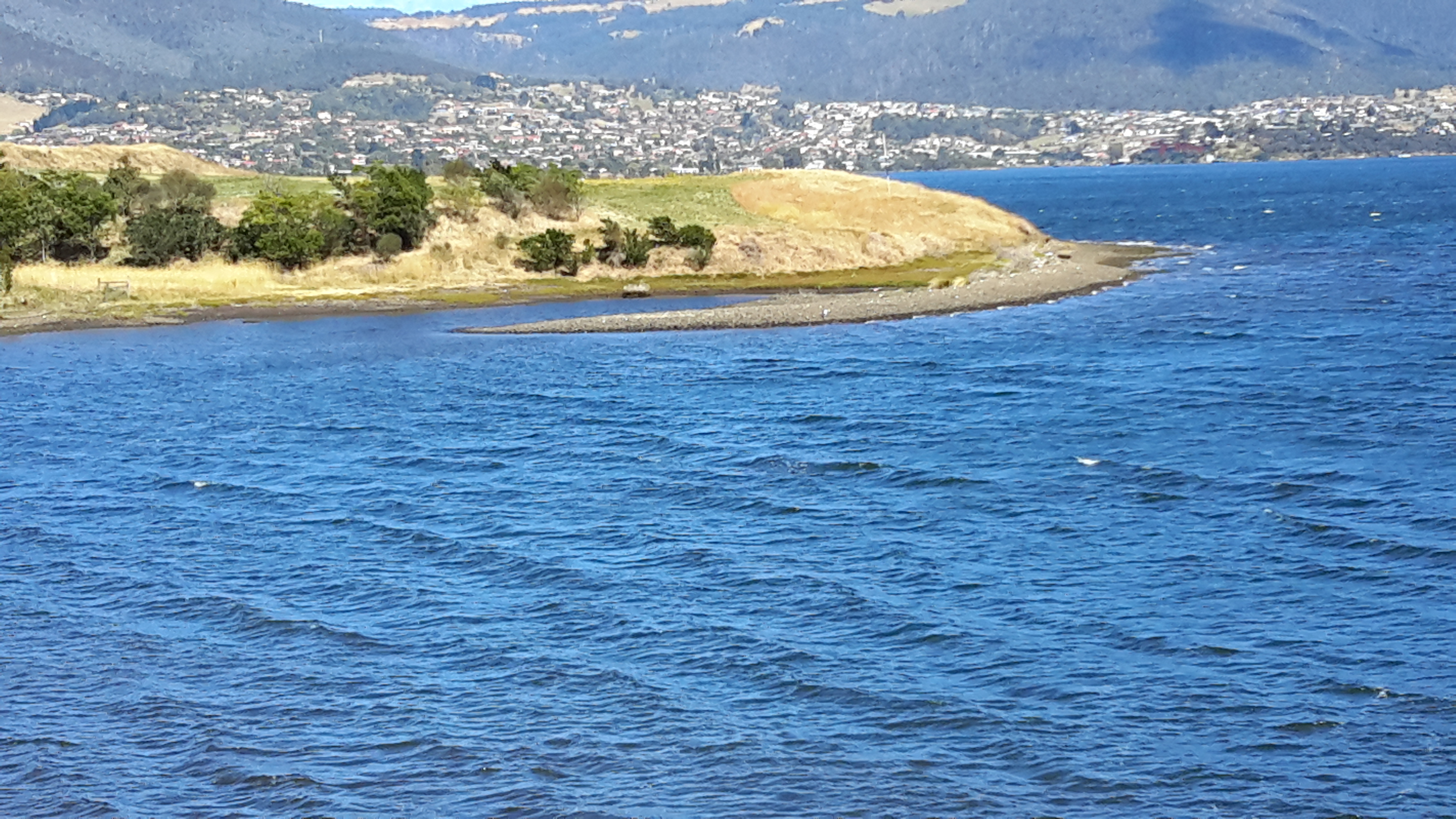
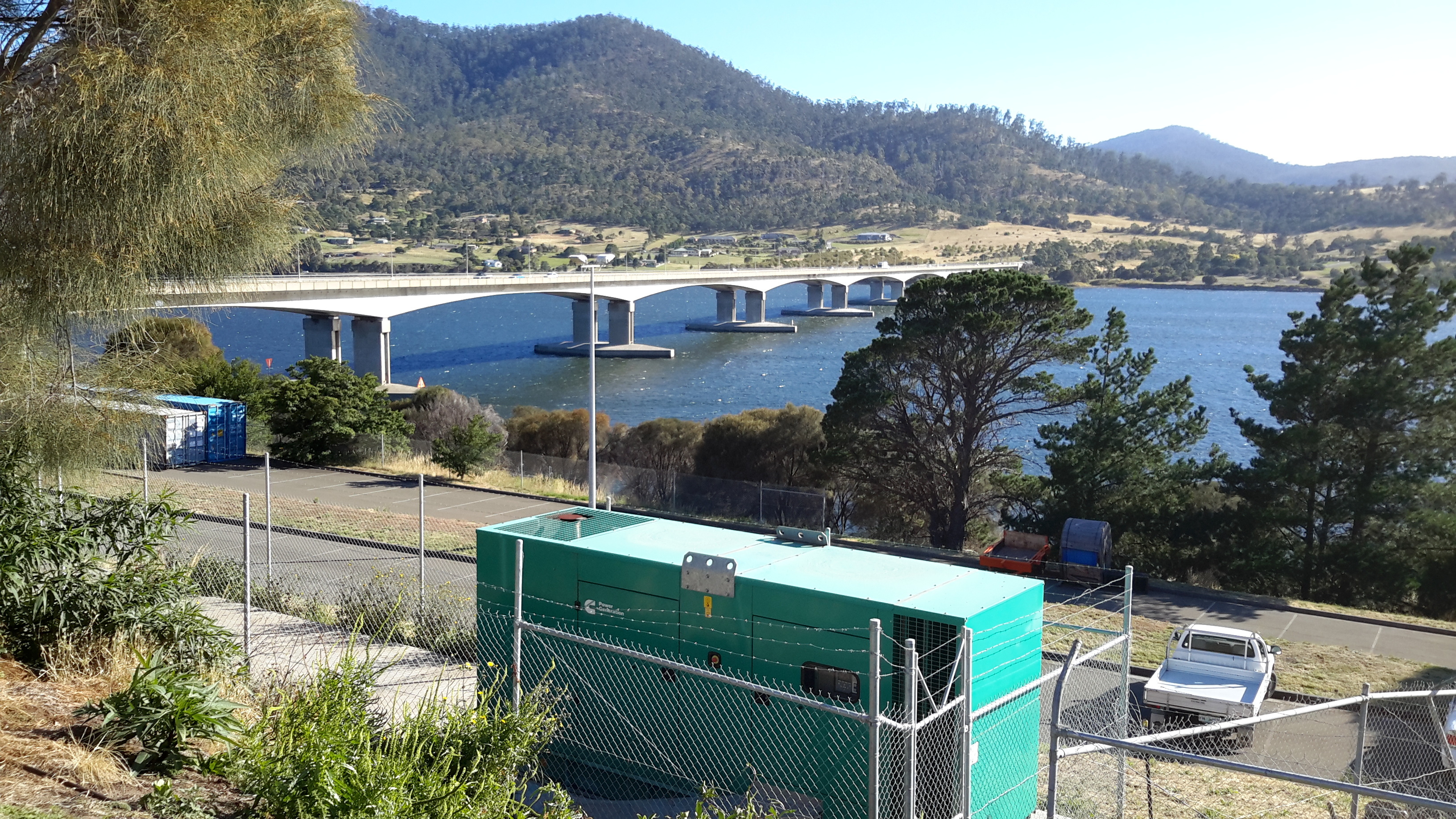
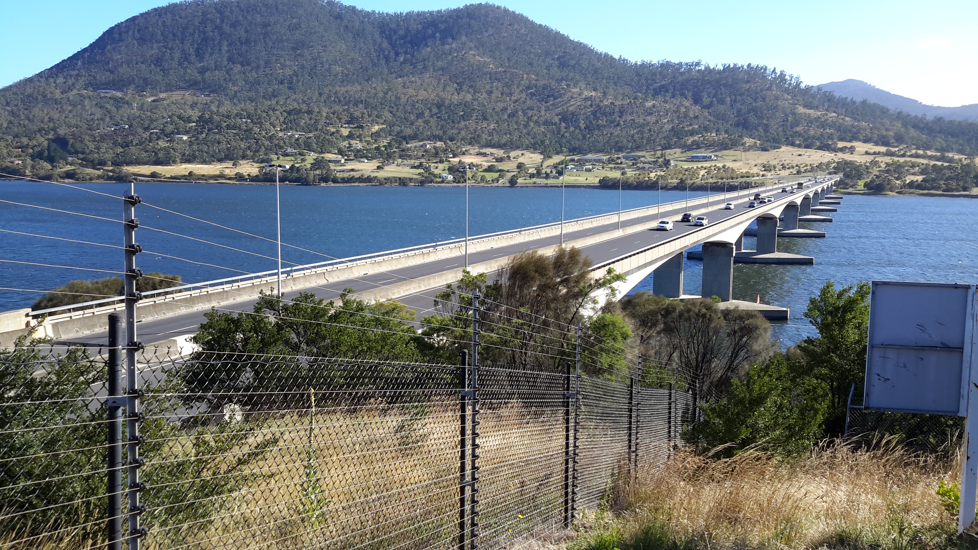
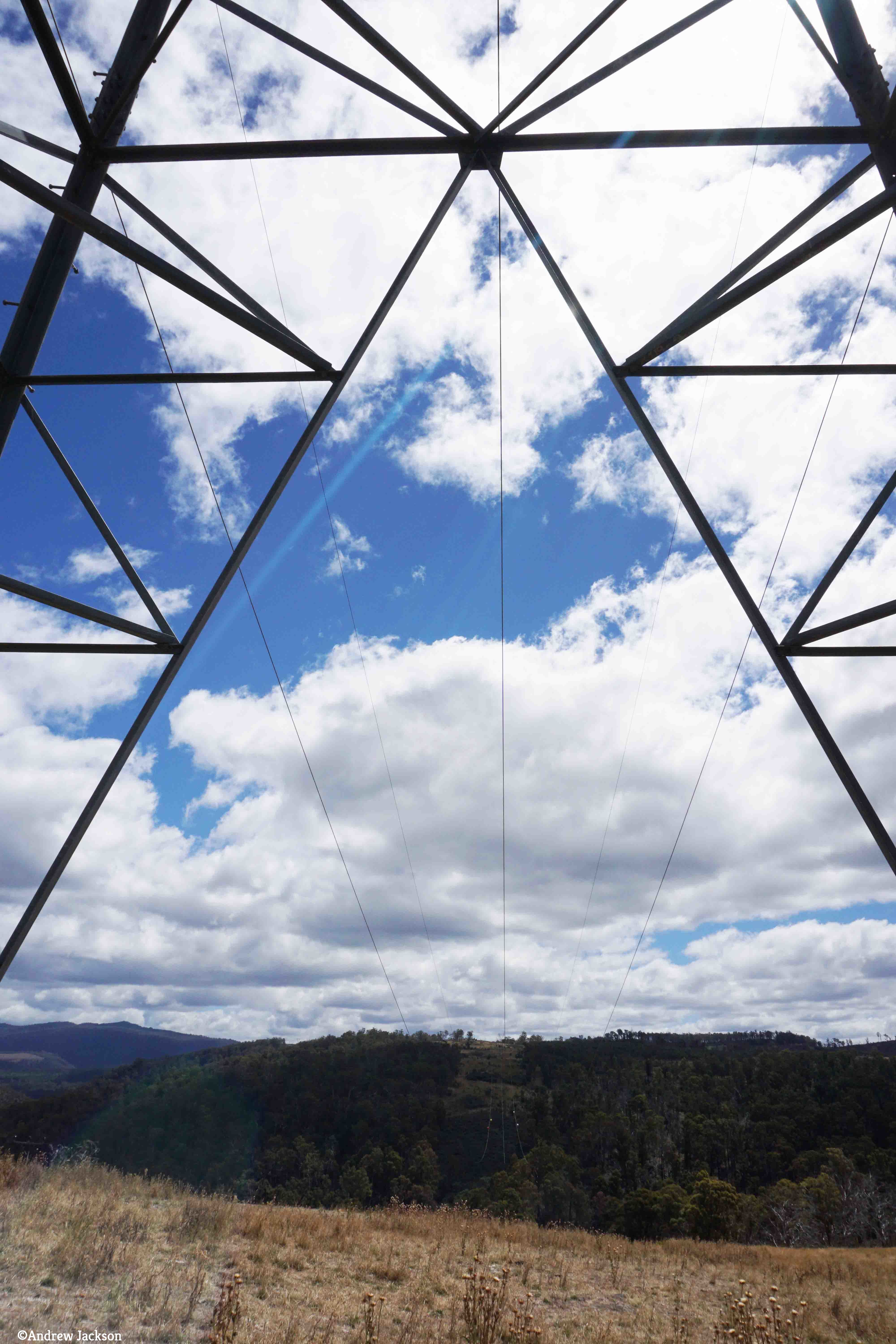
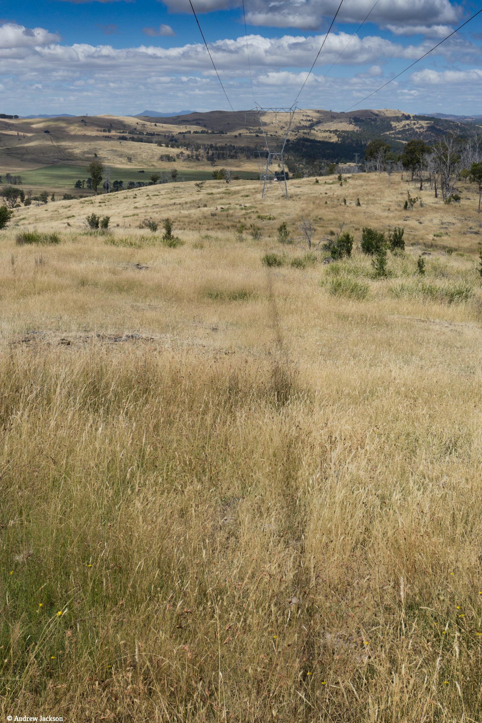
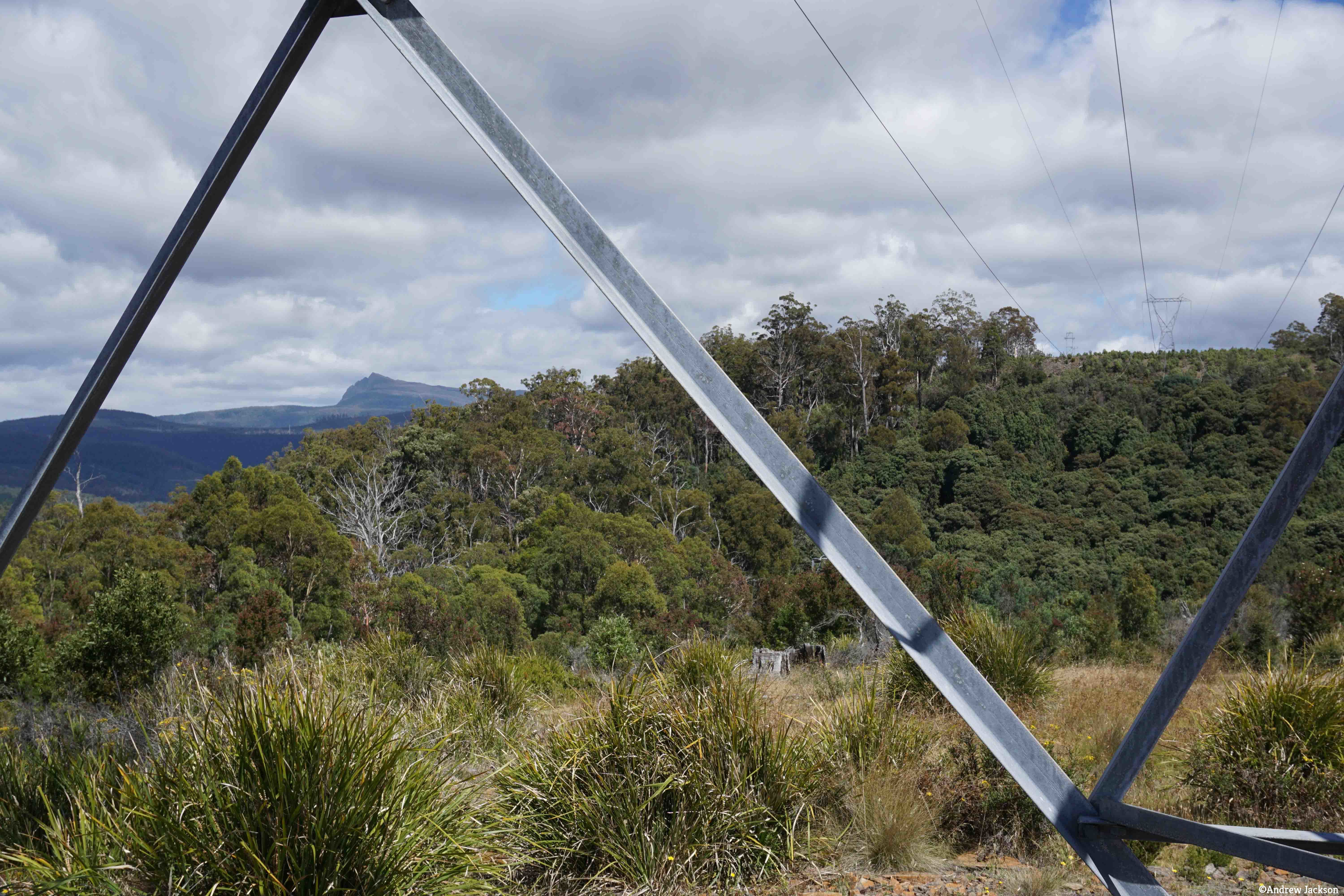
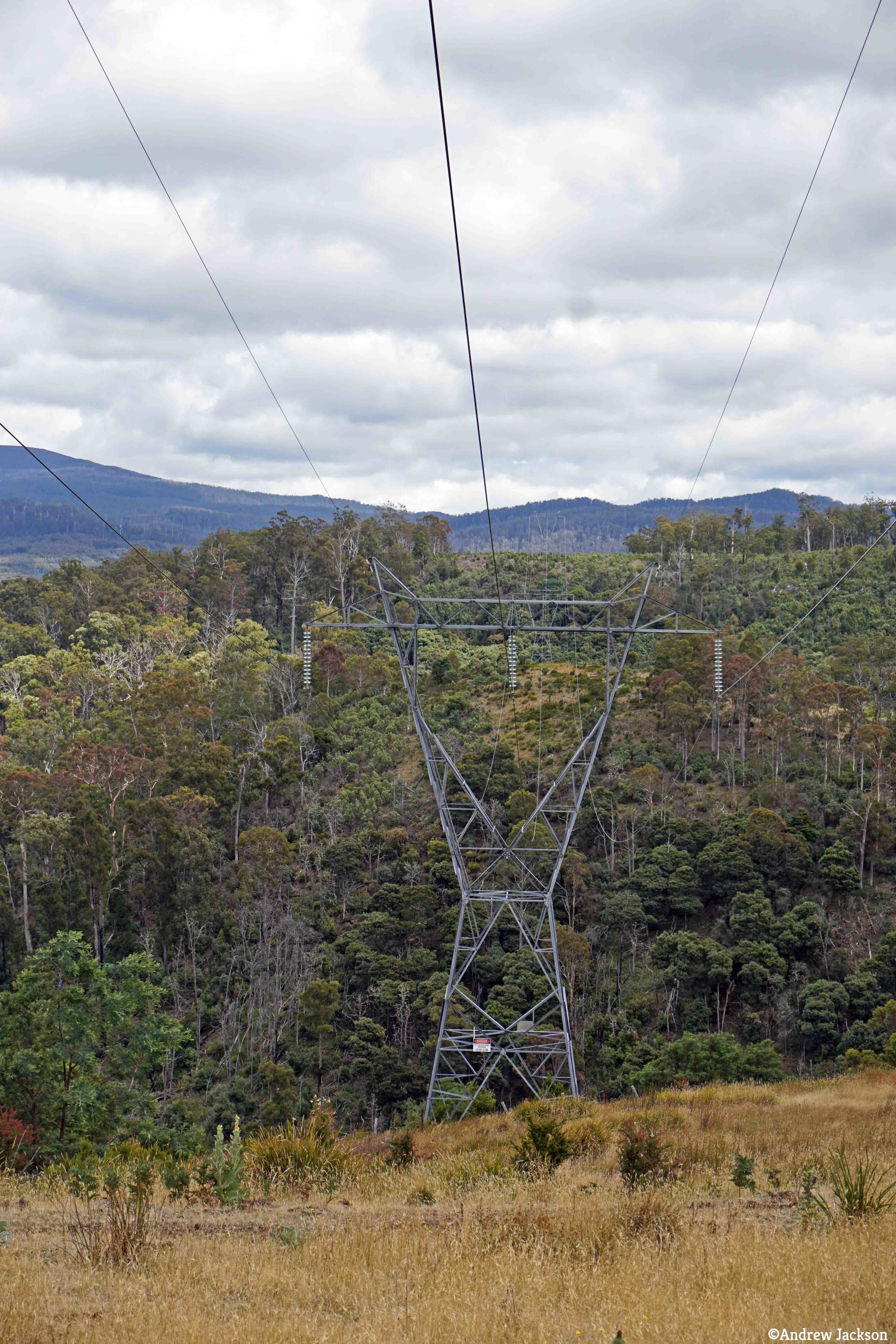
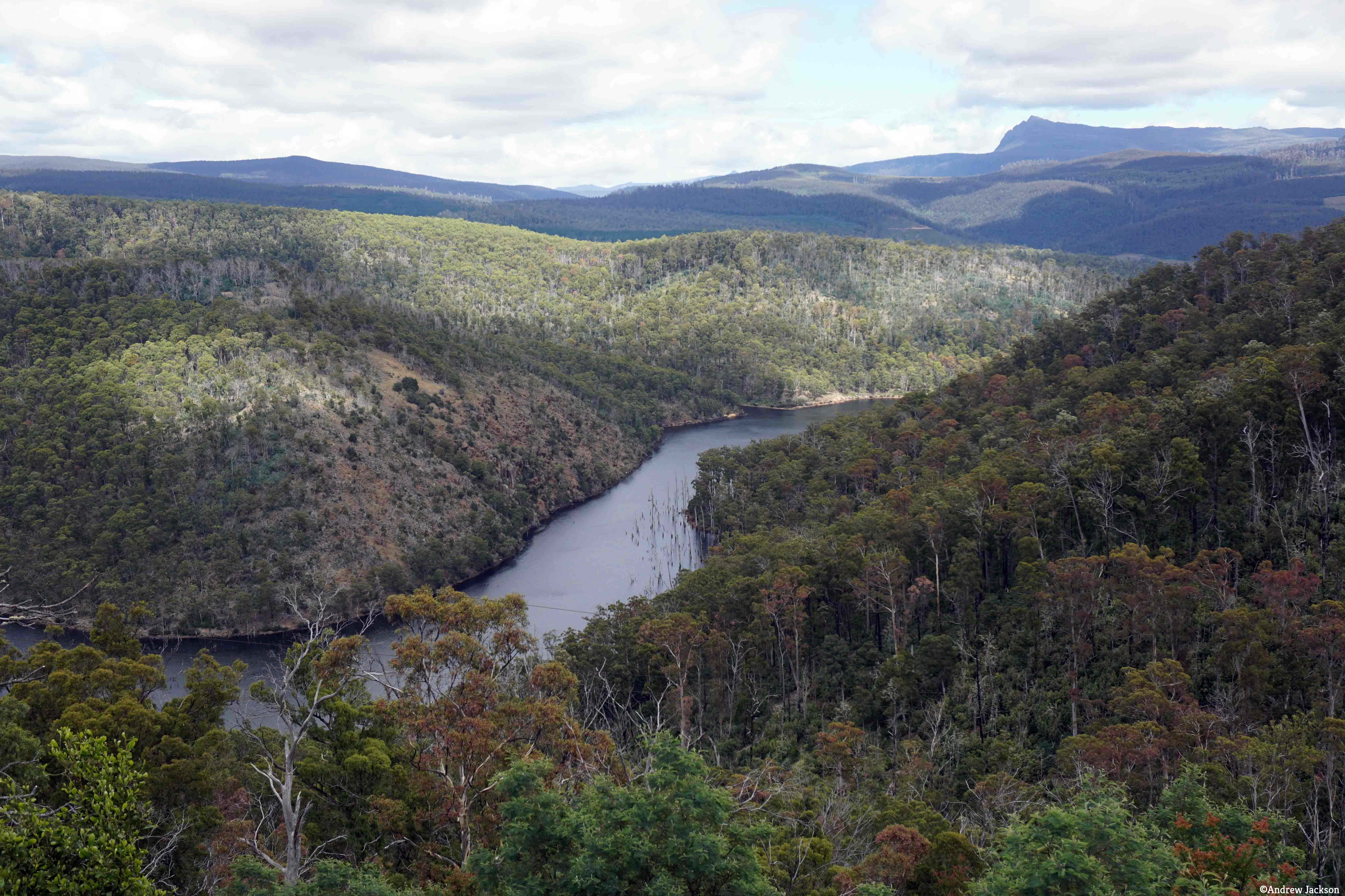
Now the scene is set for the story of the walk between Wayatinah and Catagunya Power Stations.
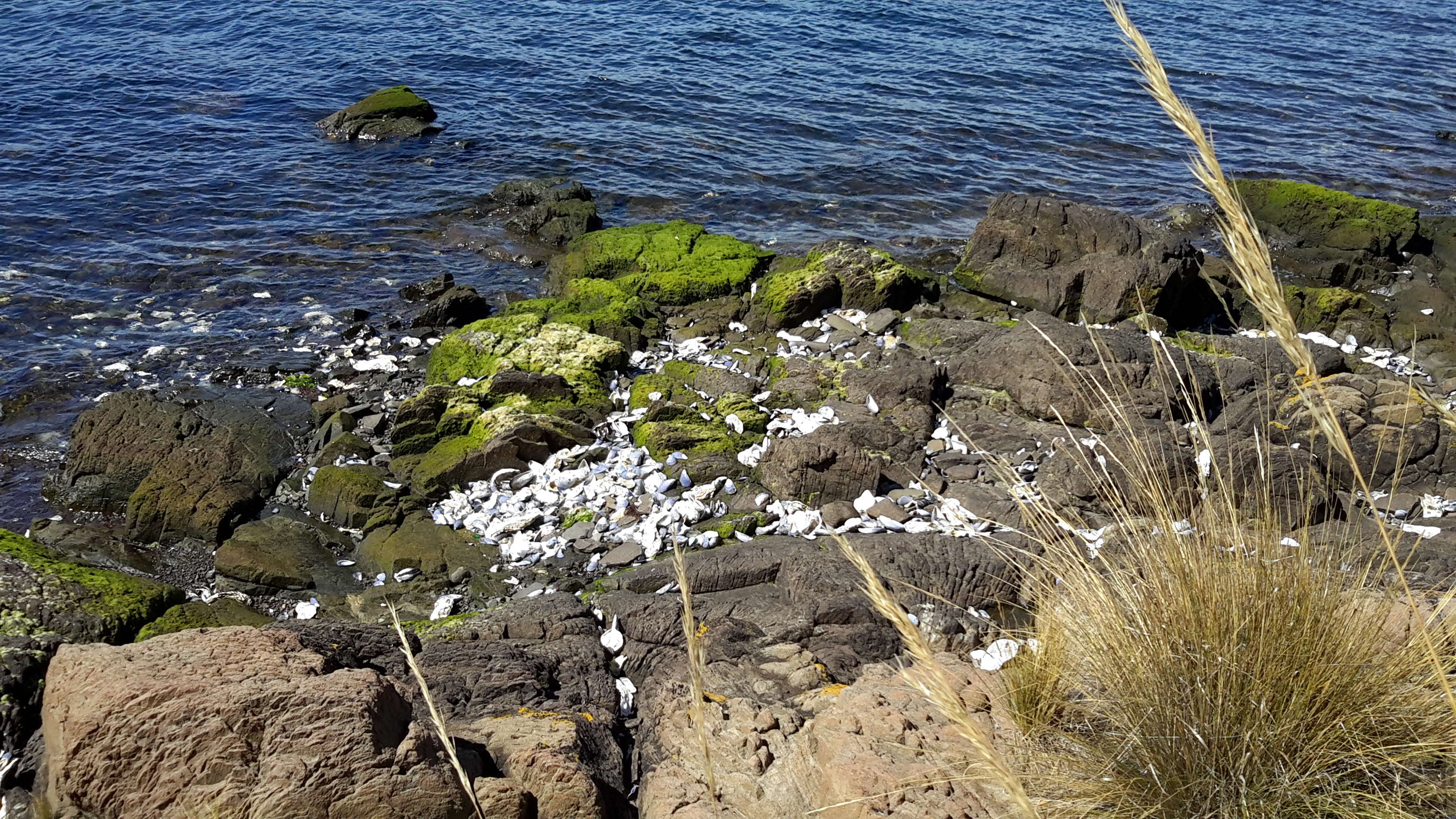
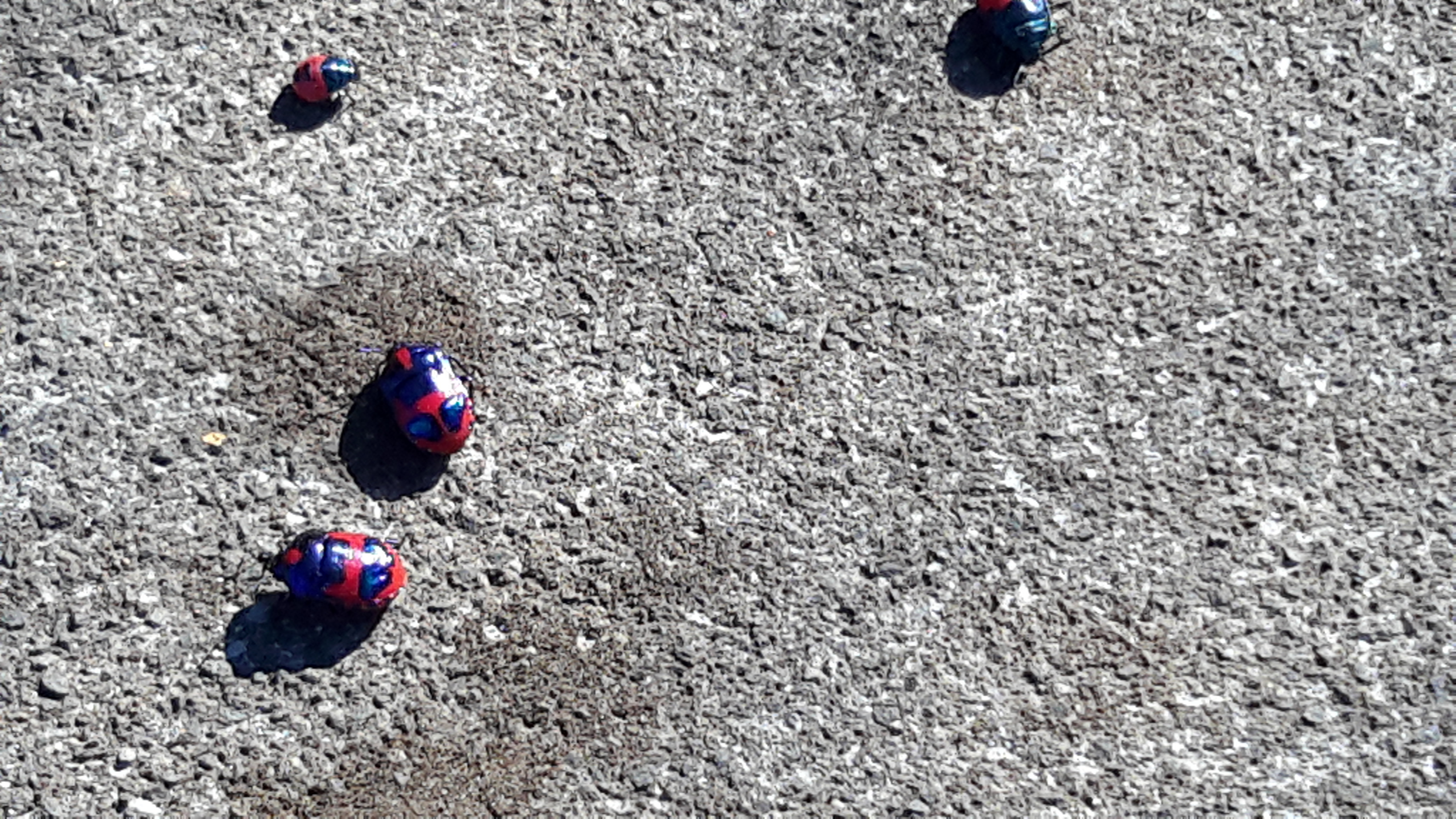
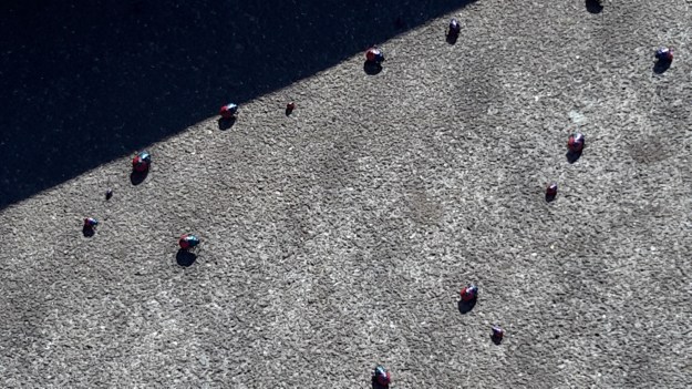
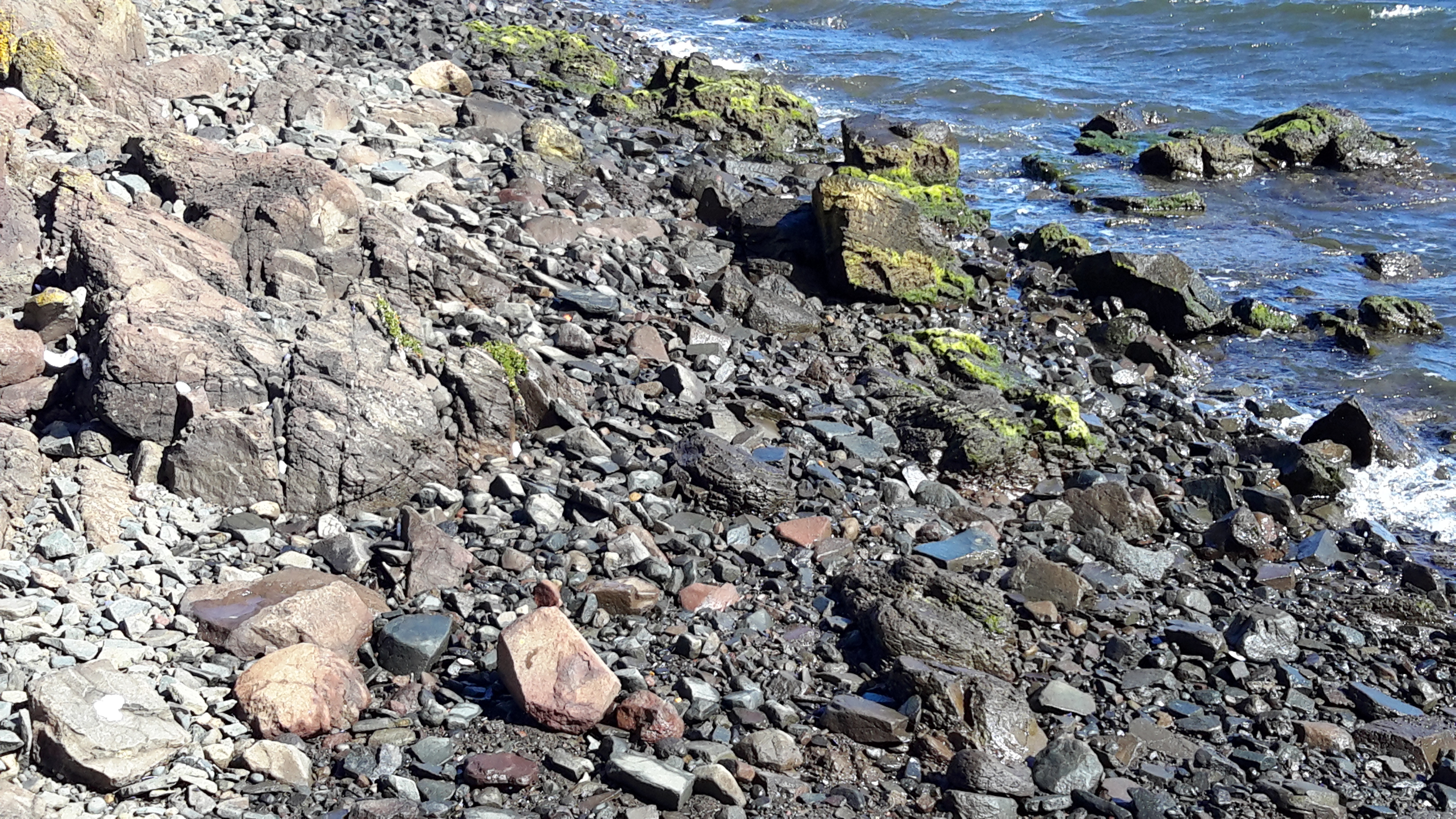
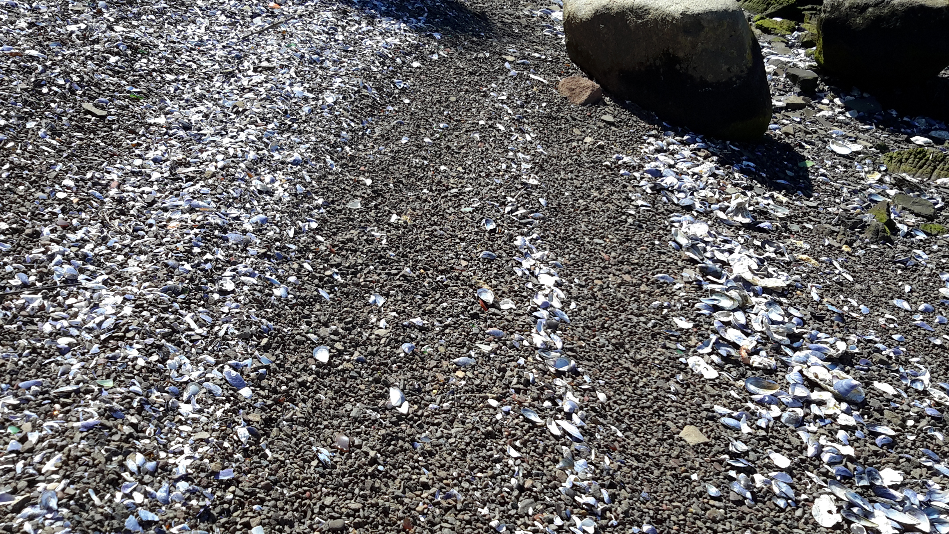