Author Archives: Tasmanian traveller

Unknown's avatar

About Tasmanian traveller

Through travel, I have experienced the eccentricities of people and their environments around the world. At the same time, I love where I live. So, for people who cannot travel to discover the wonders of my home town, this blog is an attempt to introduce its exoticness. My goal was to walk along both sides of Hobart's Derwent River from the mouth to New Norfolk, and to walk on one or alternating sides of the River between New Norfolk and the source of the River at the southern end of Lake St Clair. The walk was undertaken in stages around my other commitments of my life. Almost all stages of the walk connected with Tasmanian public transport - my intentions was to inspire people, who do not have access to a vehicle, to feel they can replicate the walks. This blog reports on each stage in the hope it will encourage people to either follow in my steps or to create their own walking project where-ever they live. Please note: The blog background and headliner image of 'Hobart from Mt Wellington' is the work of Tourism Tasmania and Garry Moore. It is a free image with unrestricted copyright and available from http://www.tassietrade.com.au/visual_library

Walking on an industrial site – posting 4 of 5

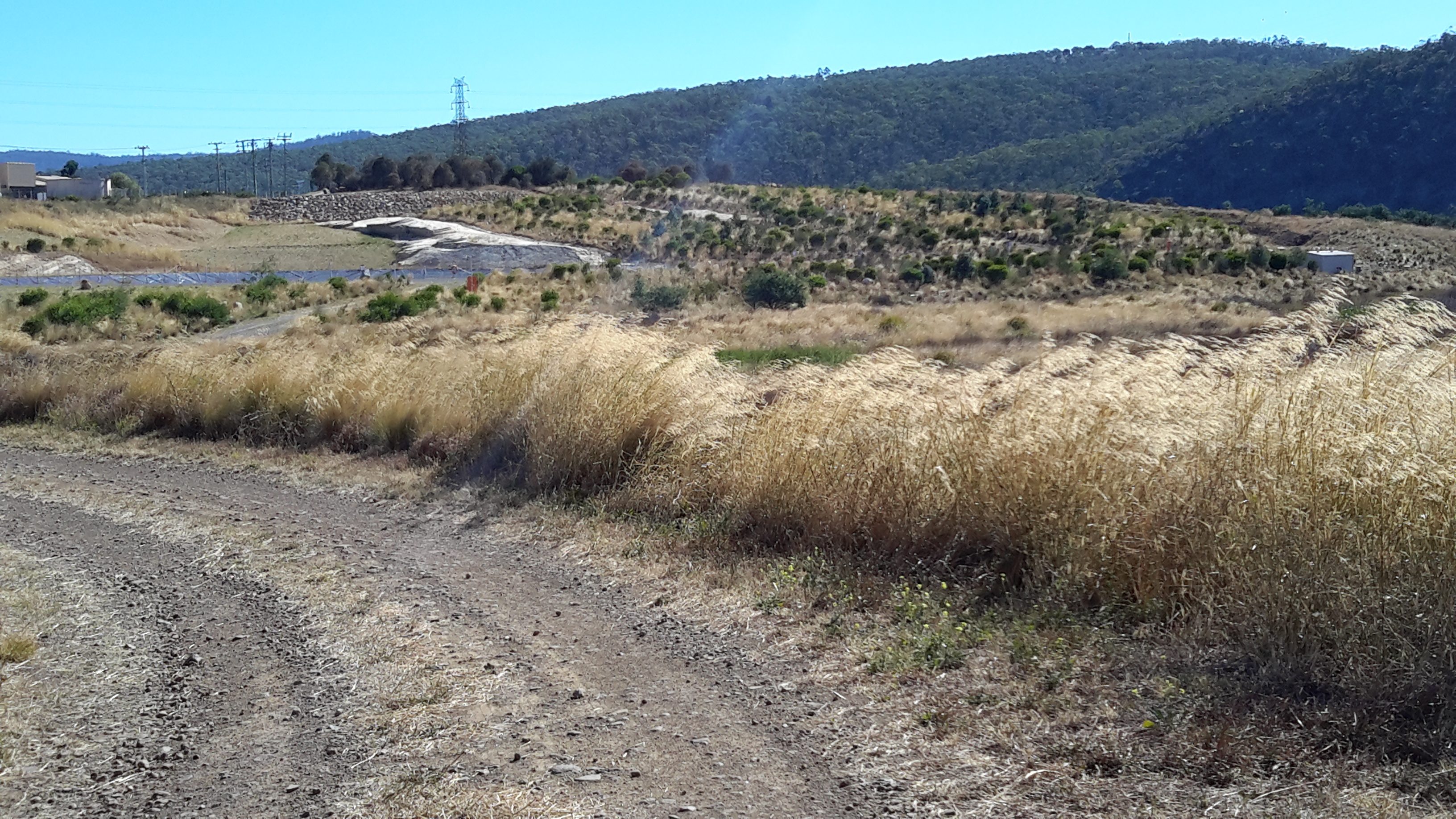
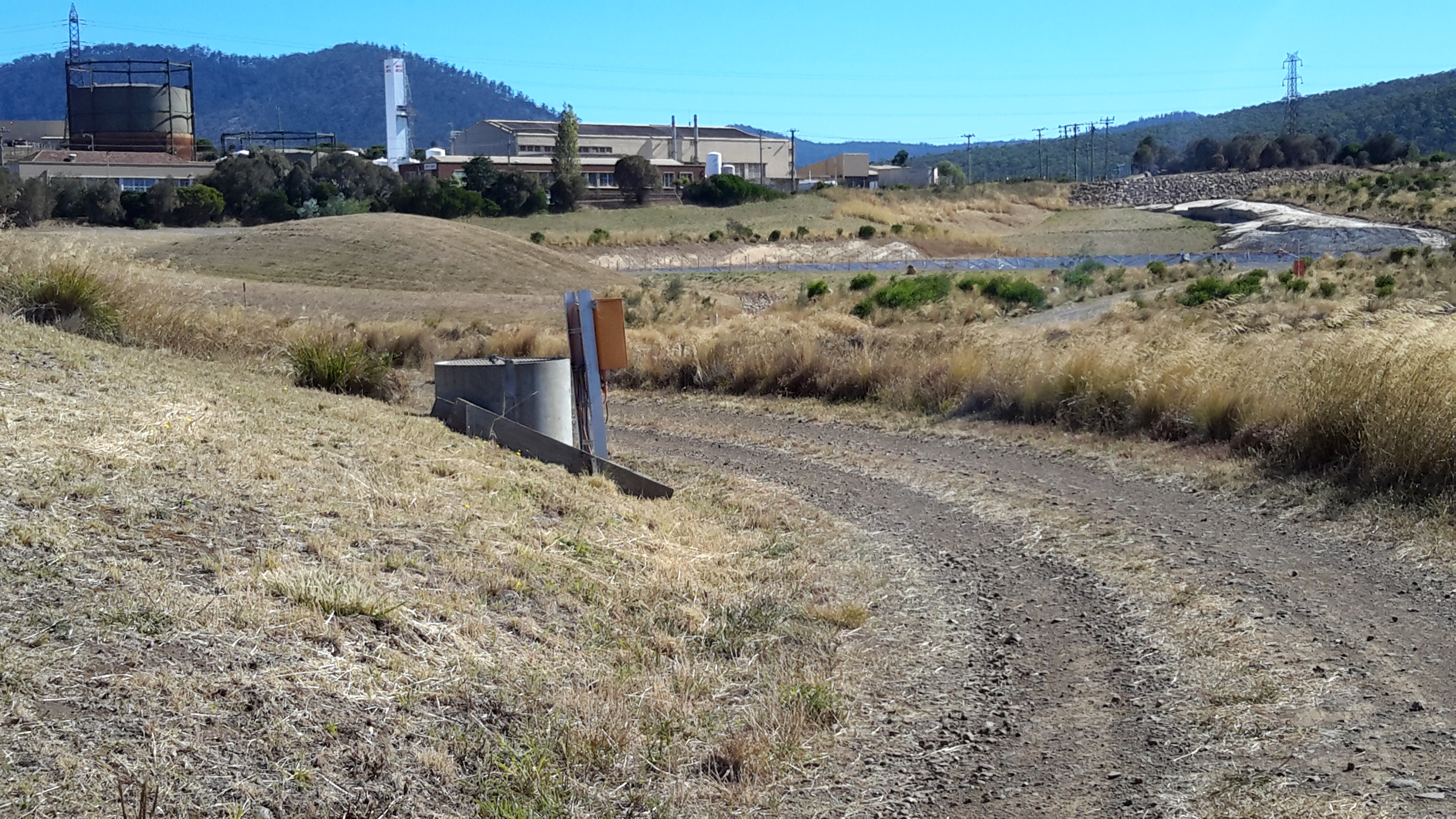
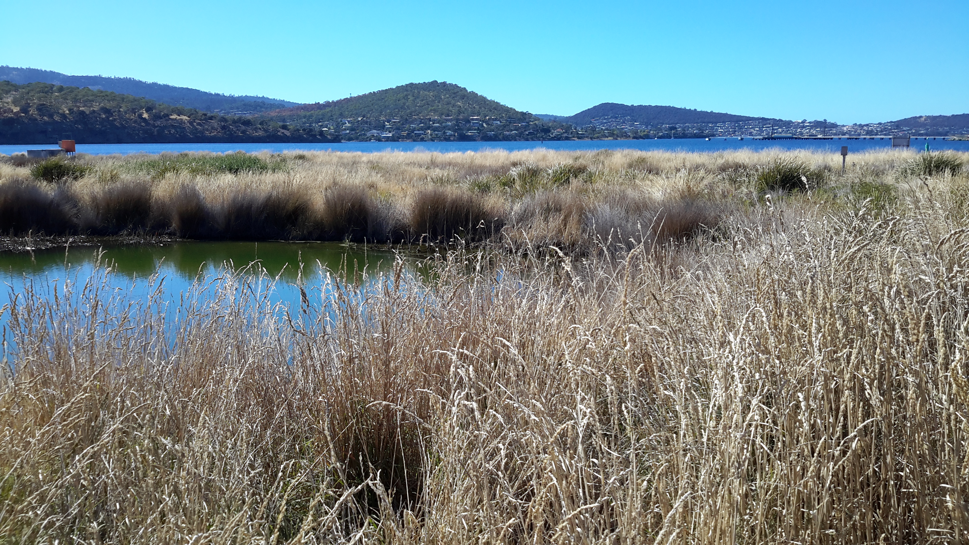
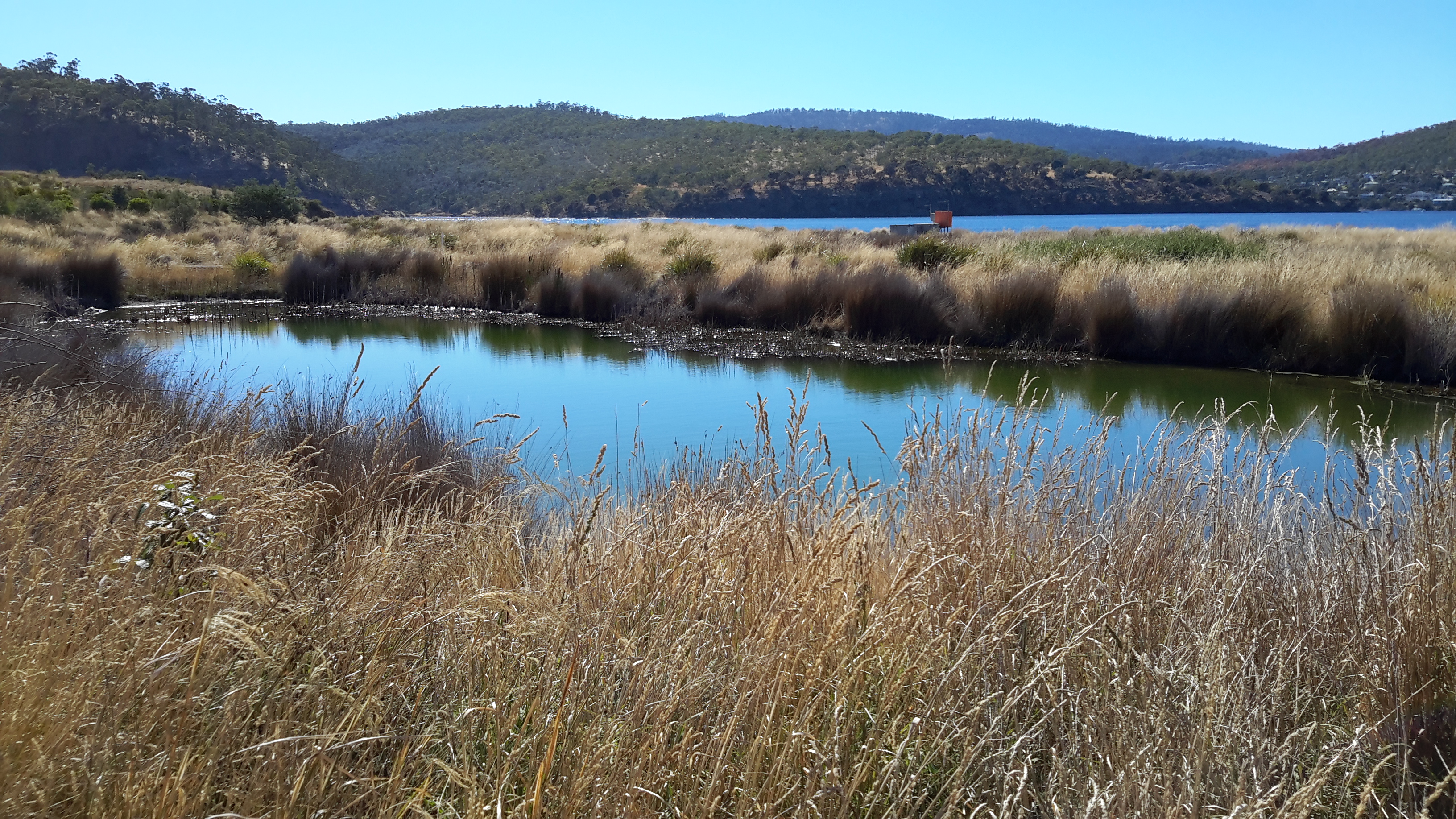
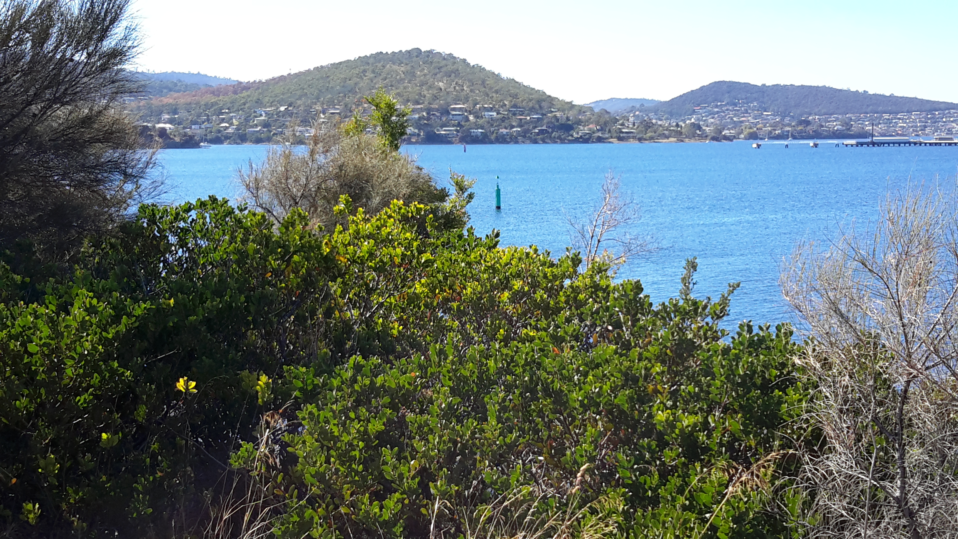
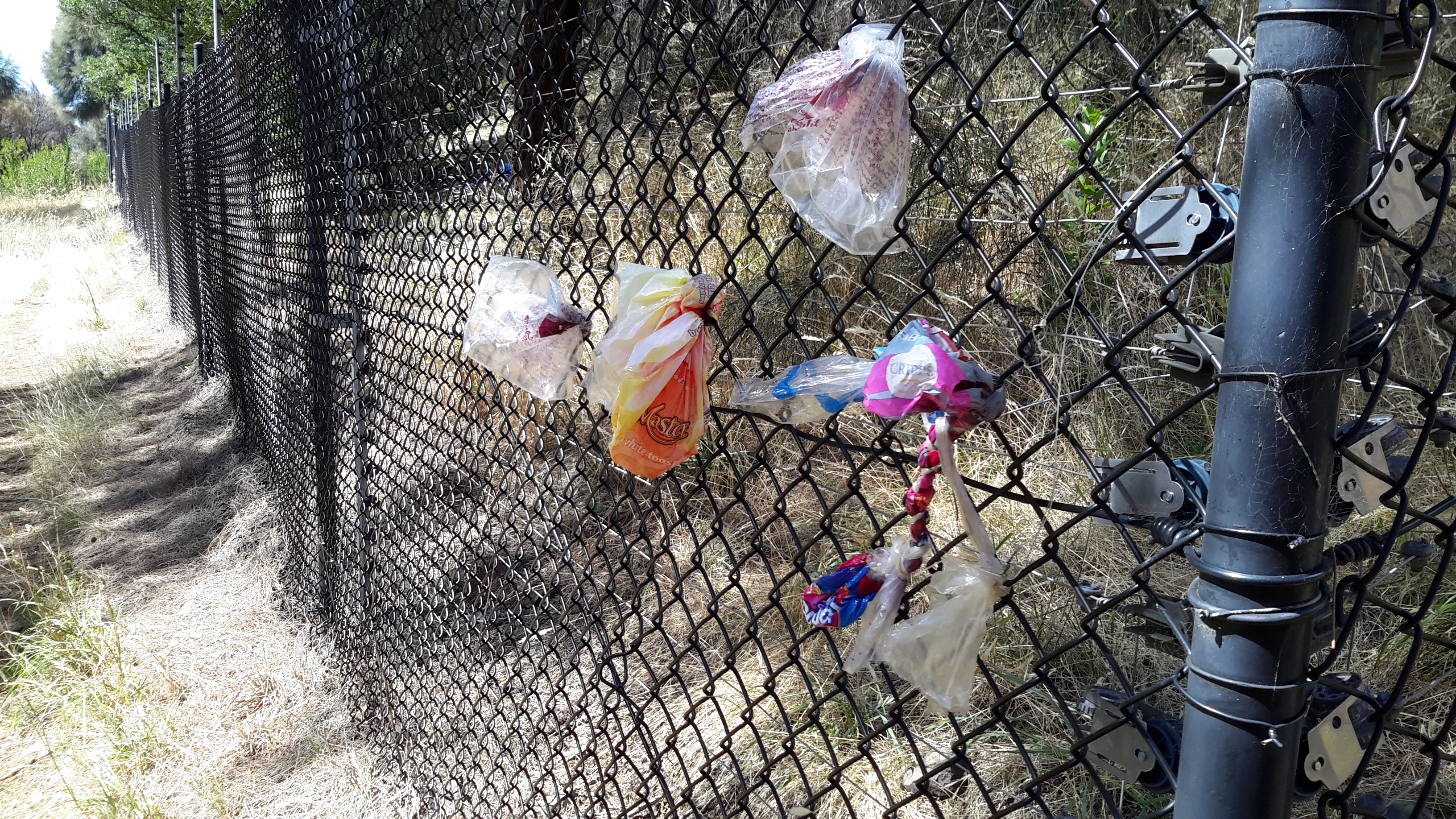
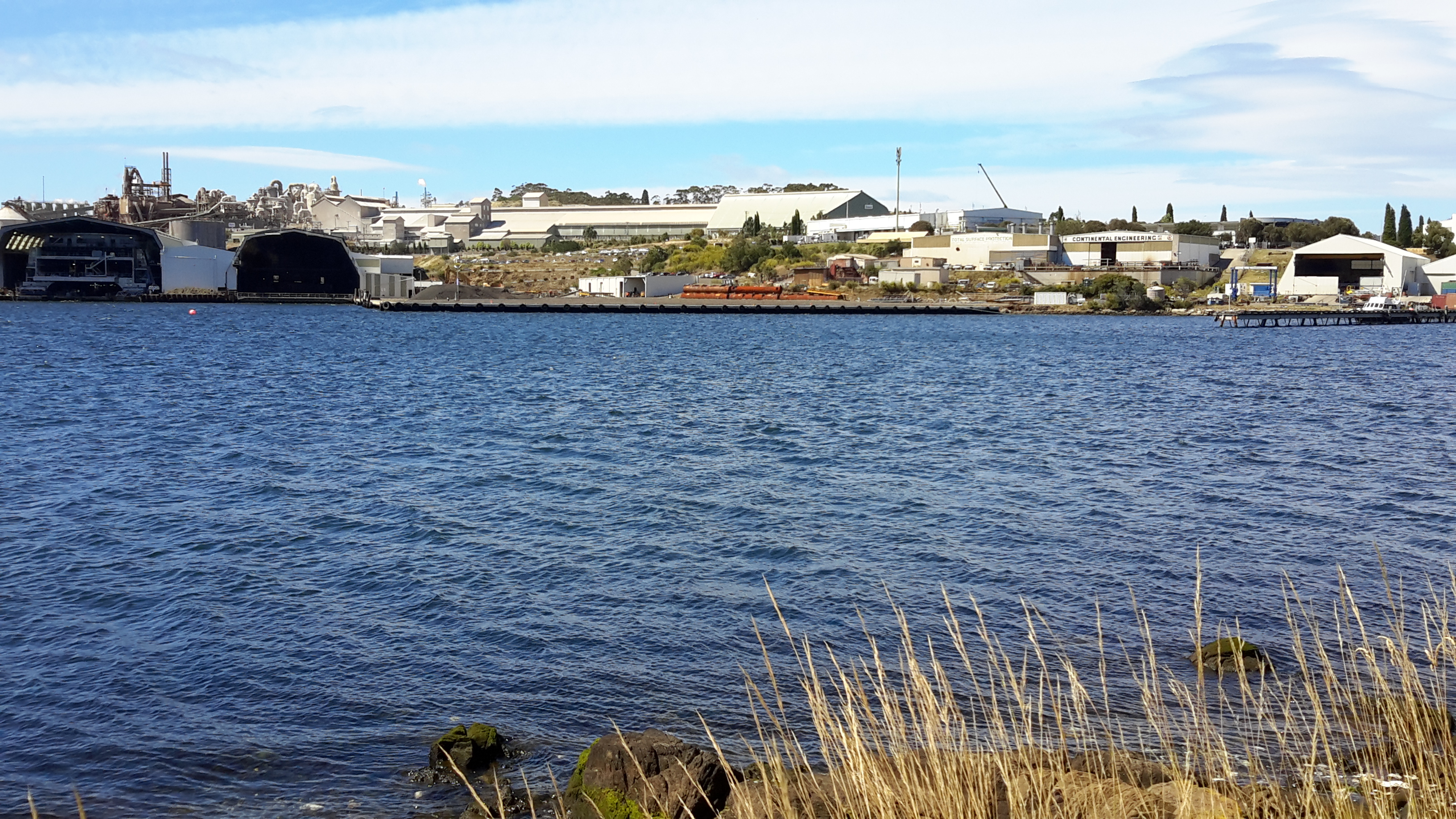
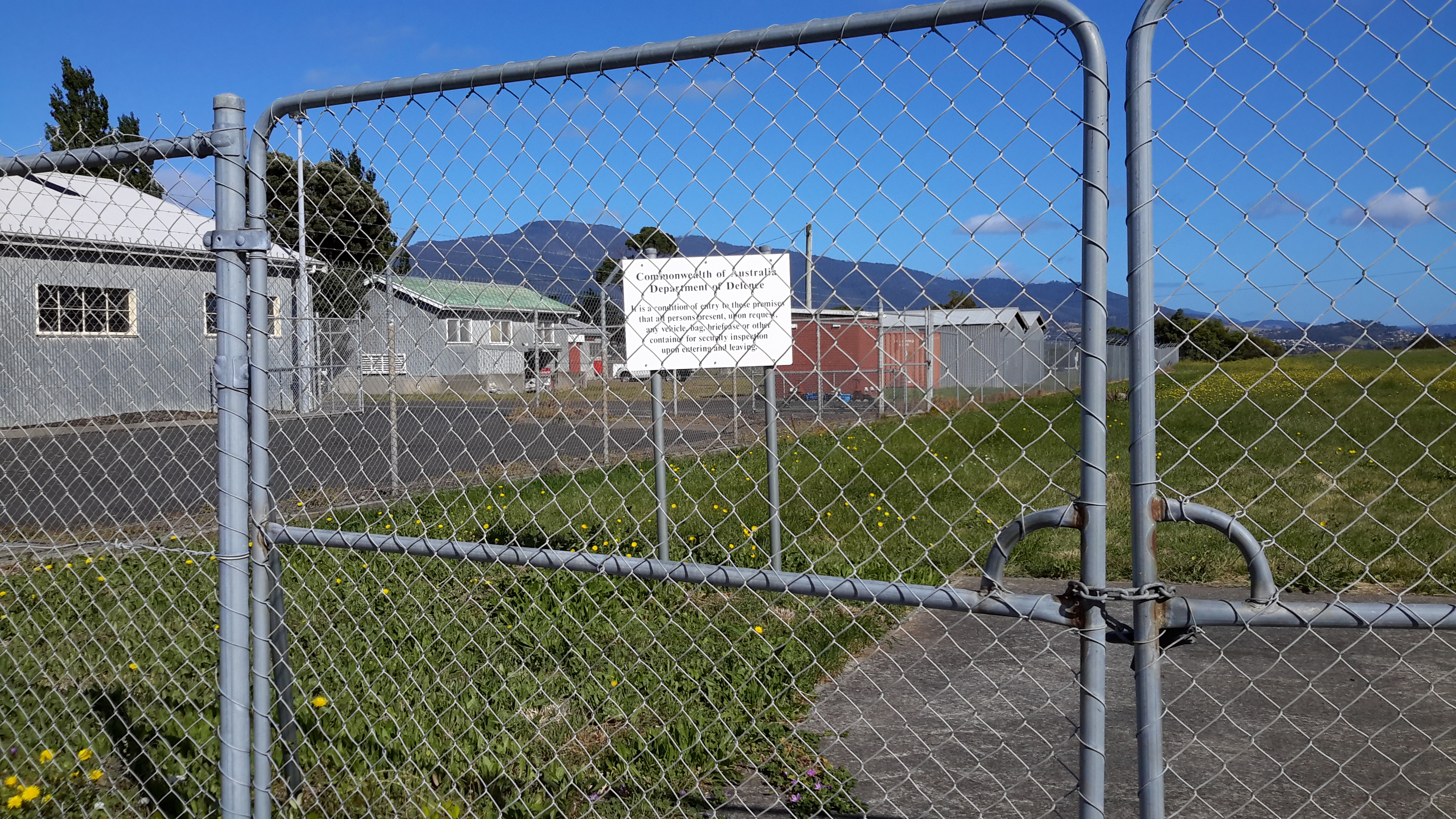
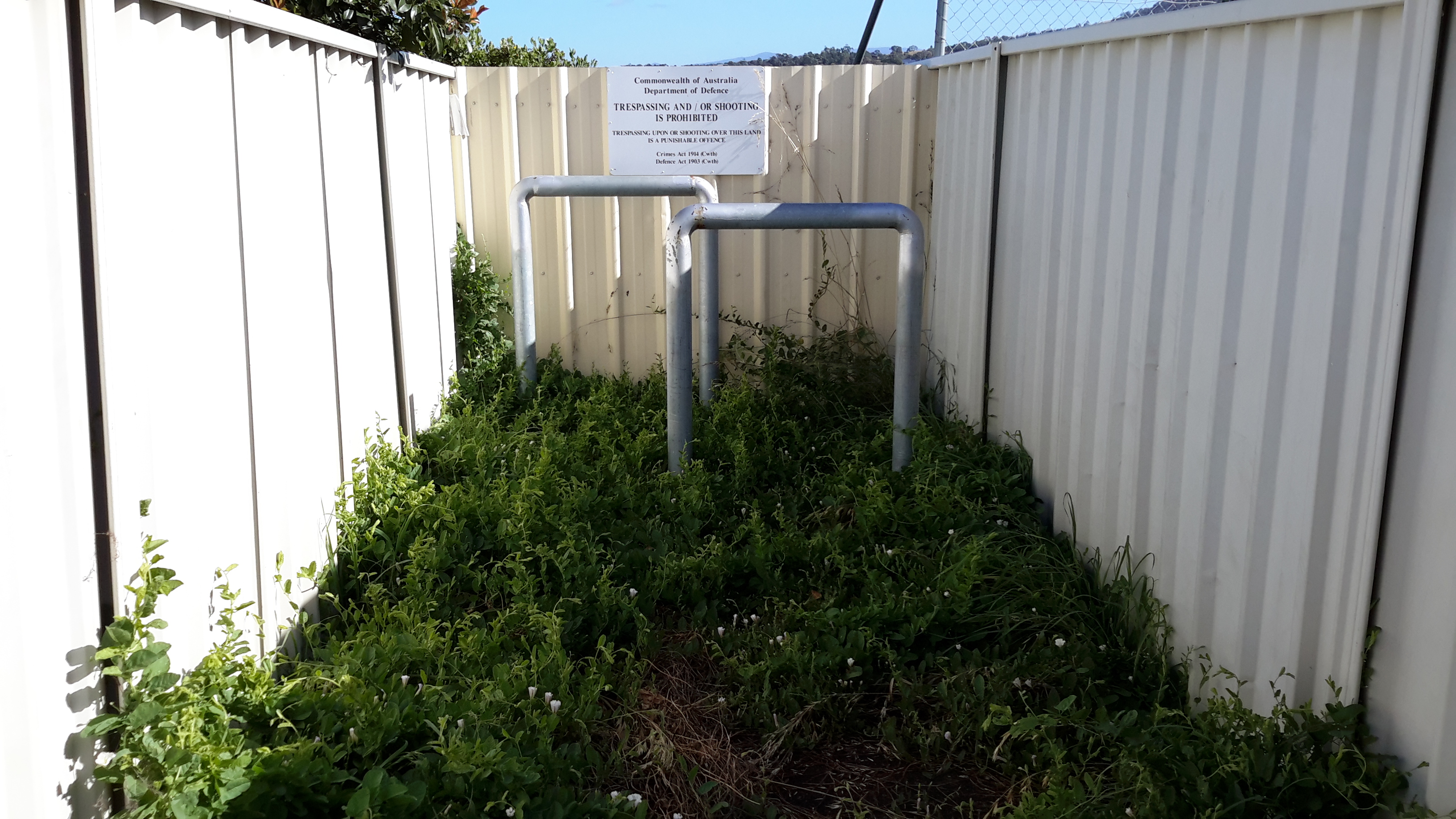
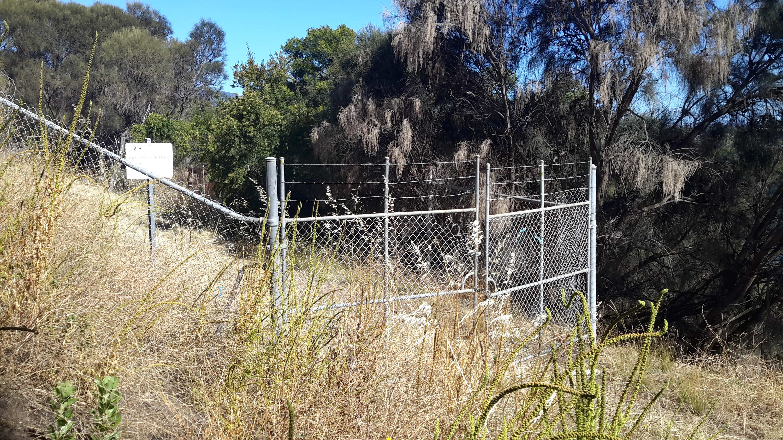
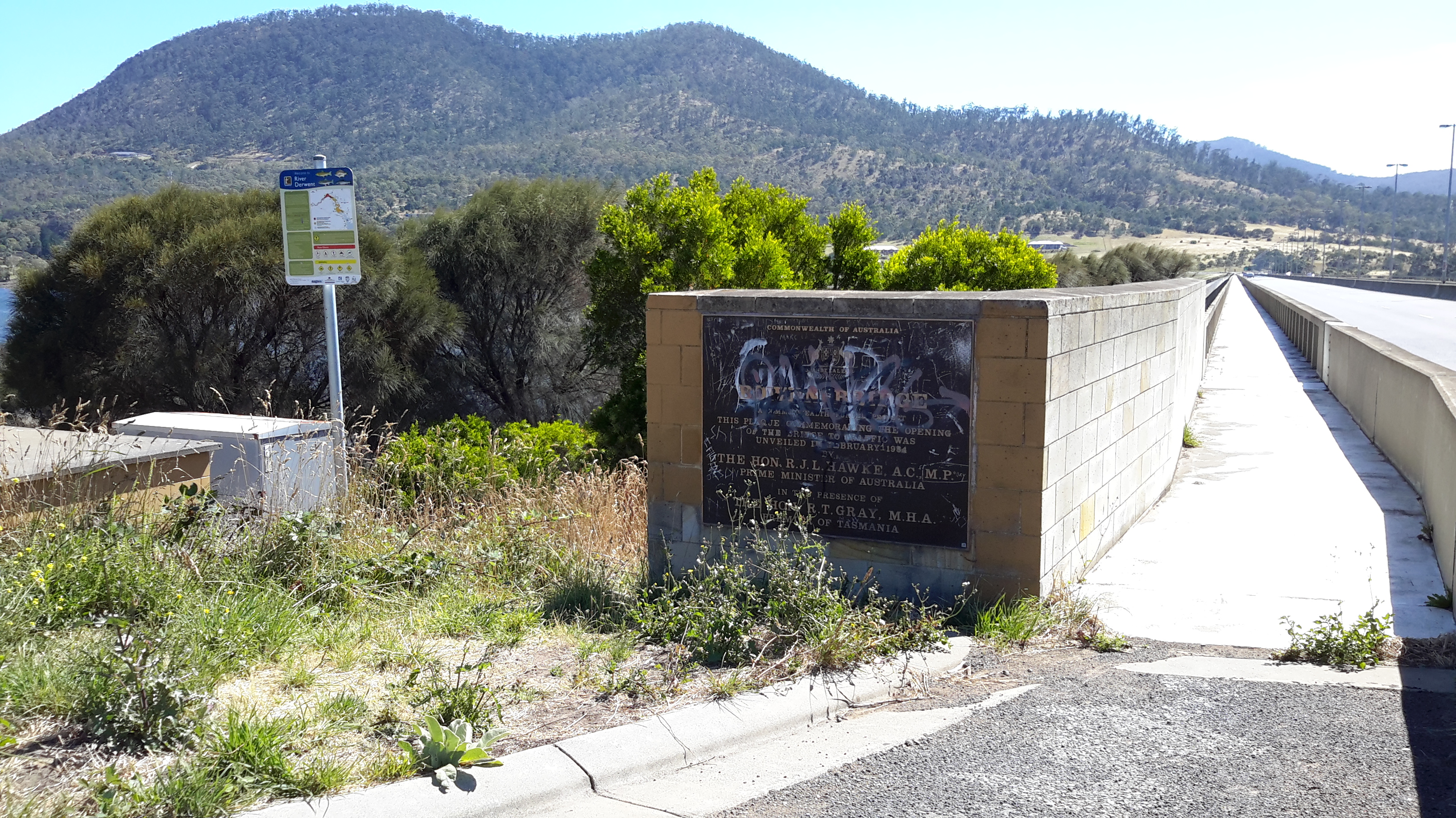
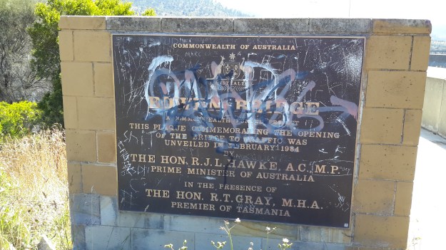
During the planning phase for this walk on Nyrstar property,  I anticipated that after passing the wetlands treatment area my walk would be finished because, from then on, site buildings and operations sit next to most of the shore. I imagined access to these areas would be impossible for a visitor.

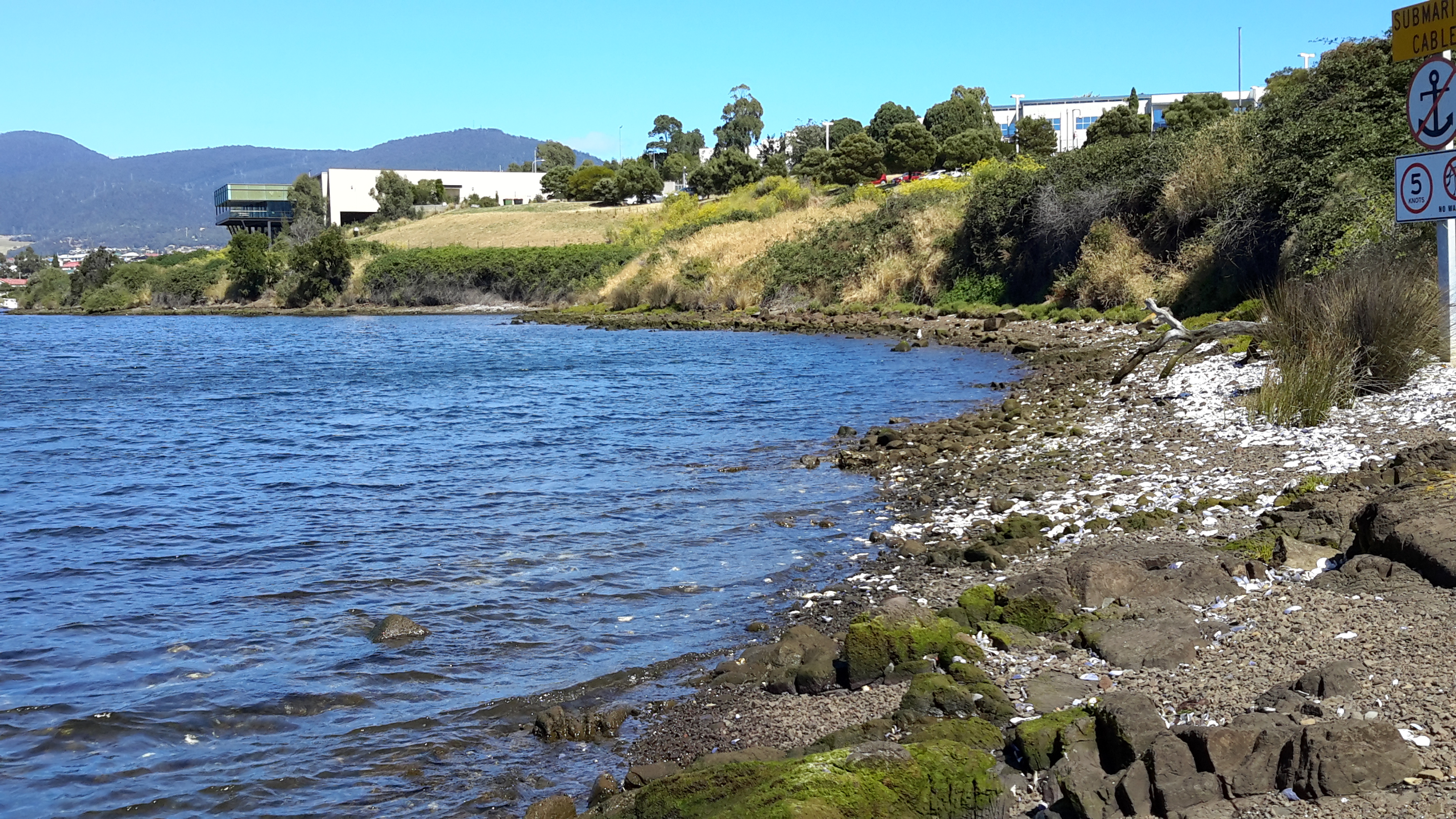
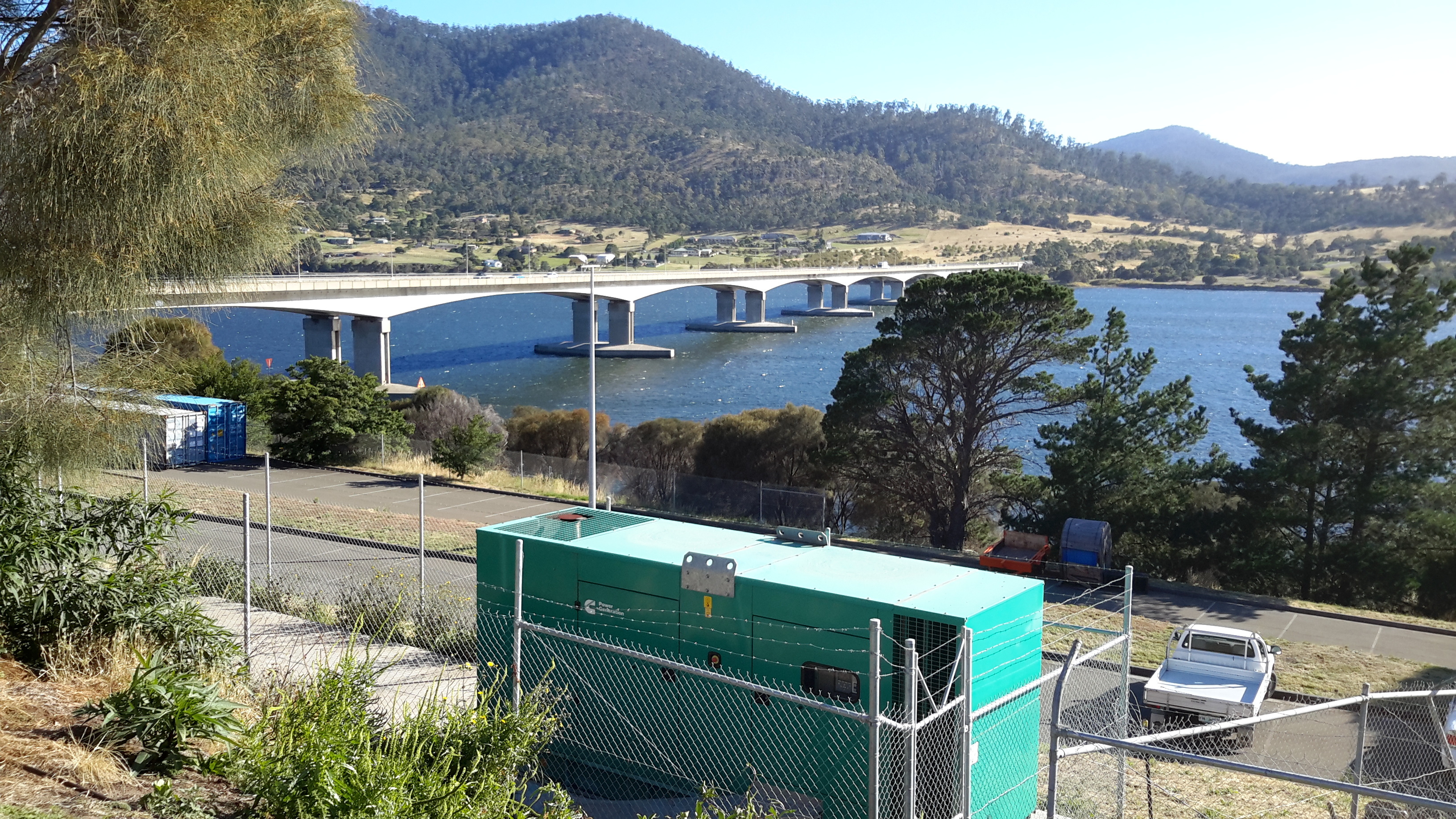
Three times a week, on average, large ships berth nearby ready to load up with the processed Zinc. However it was my lucky day and the wharf was clear.  My host volunteered to take me further if I wished.  Yes please.  It seems that at every turn, on my walk from the mouth to the source of the Derwent River, people have helped and ways have been found to give me access to more of the River than I ever thought possible.  I am so immensely grateful.

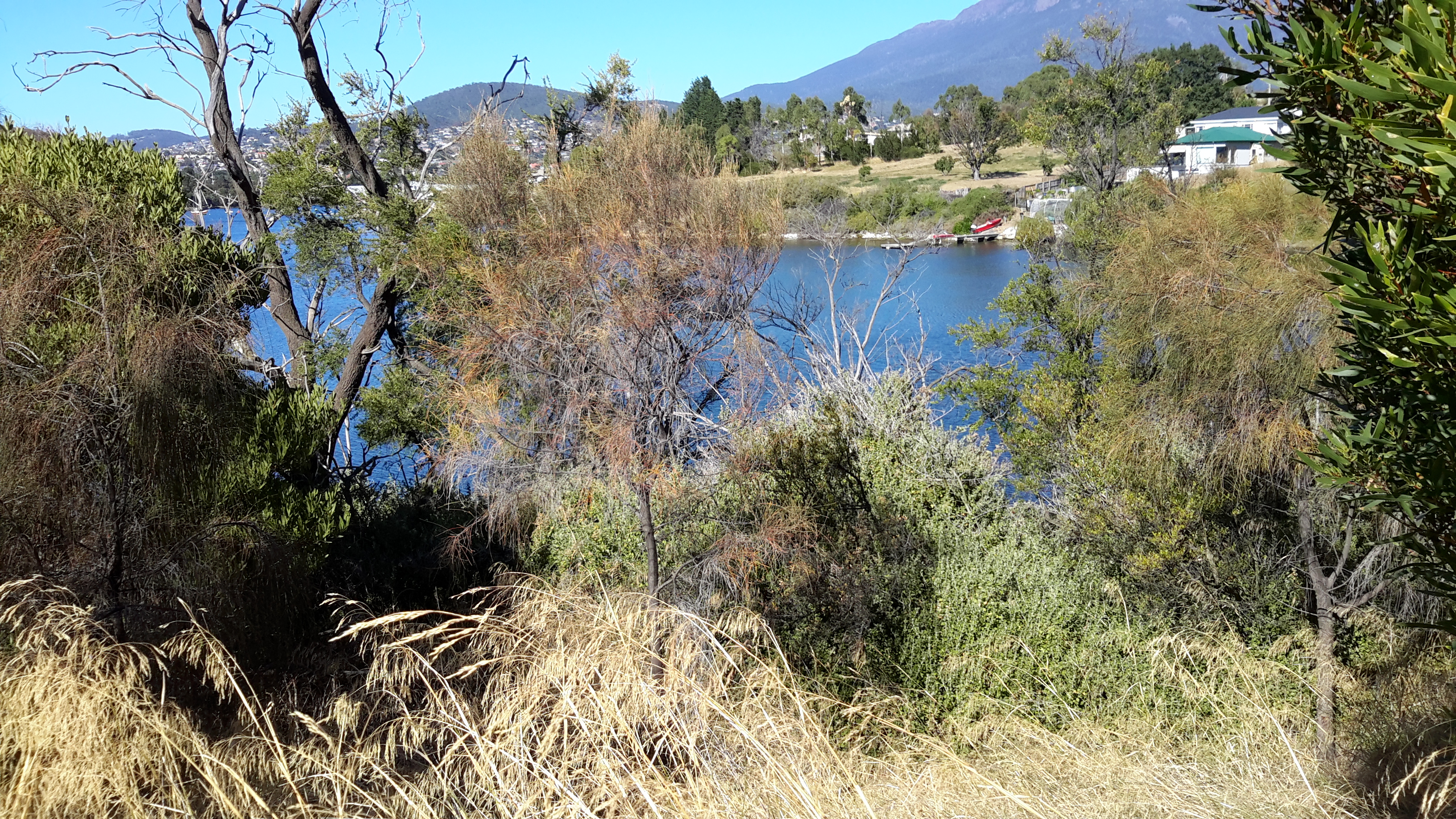
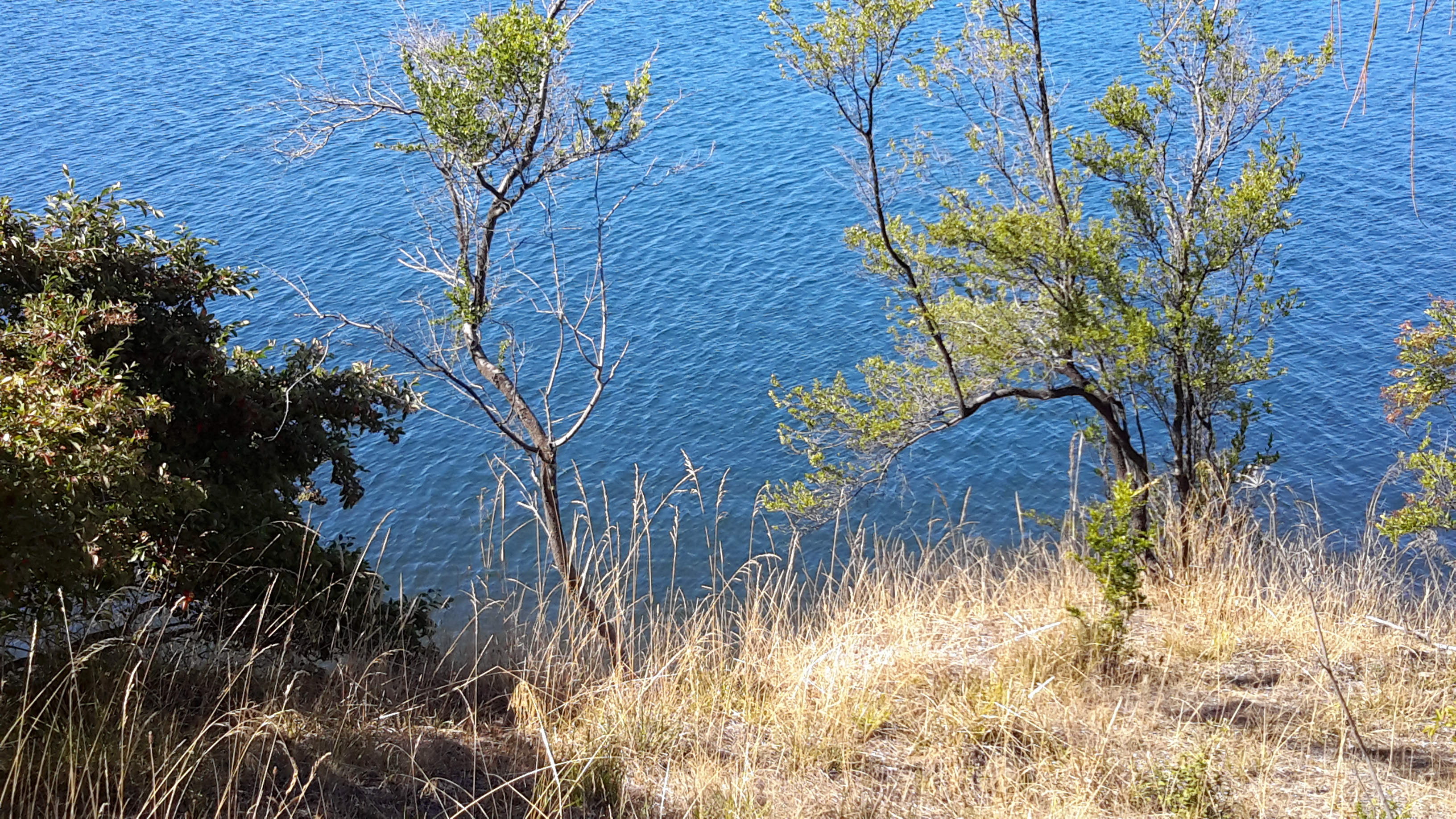
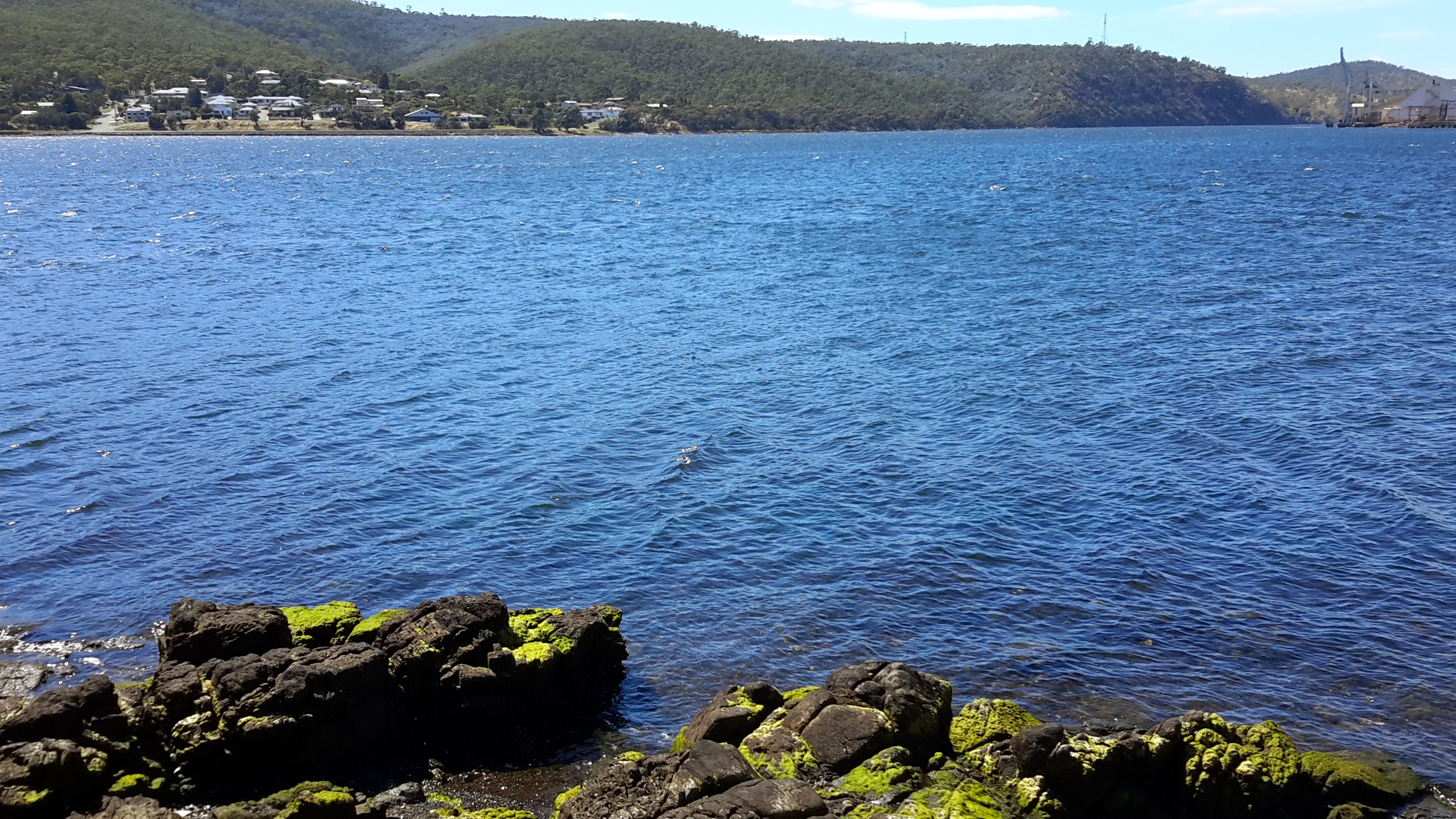
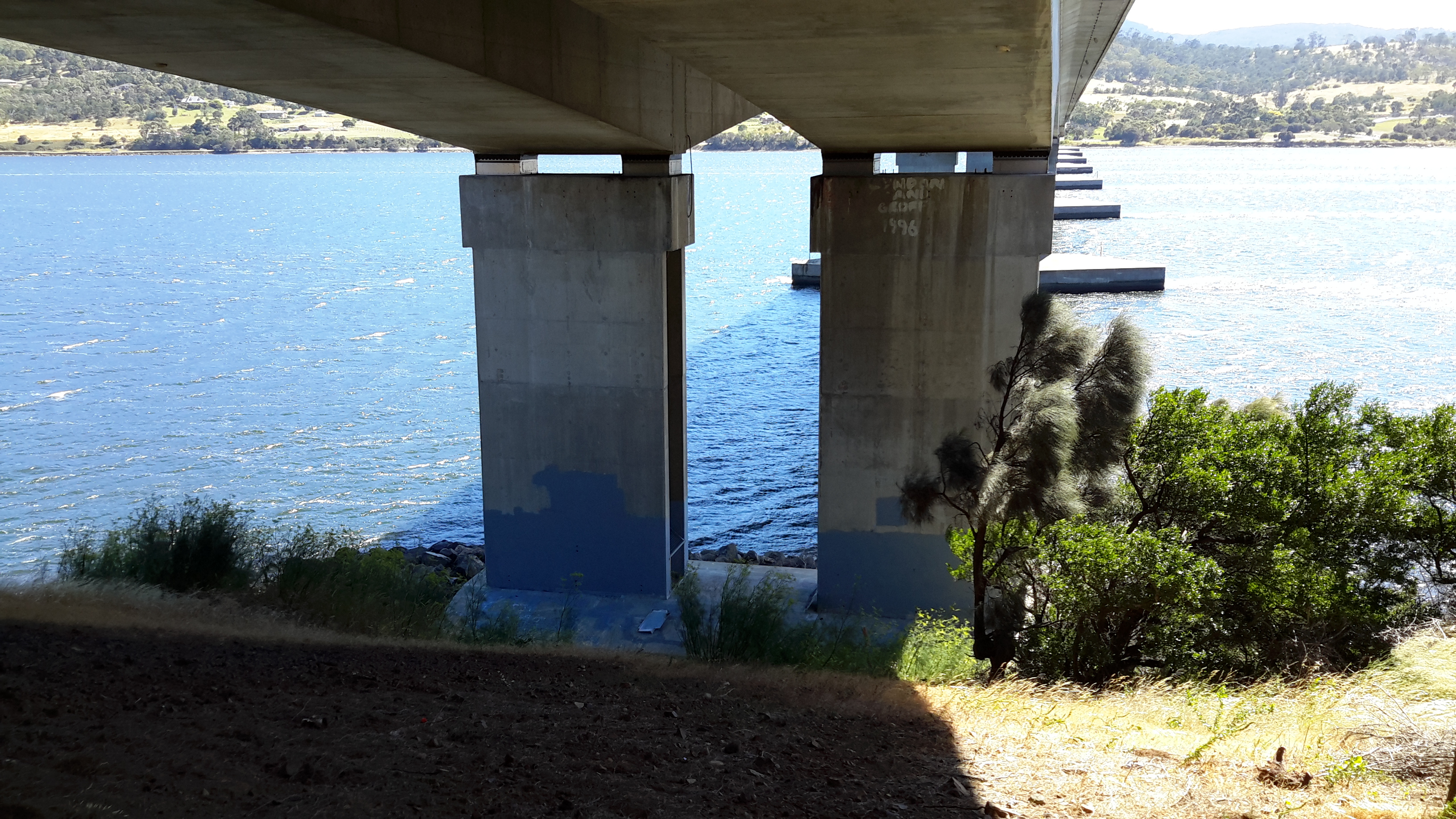
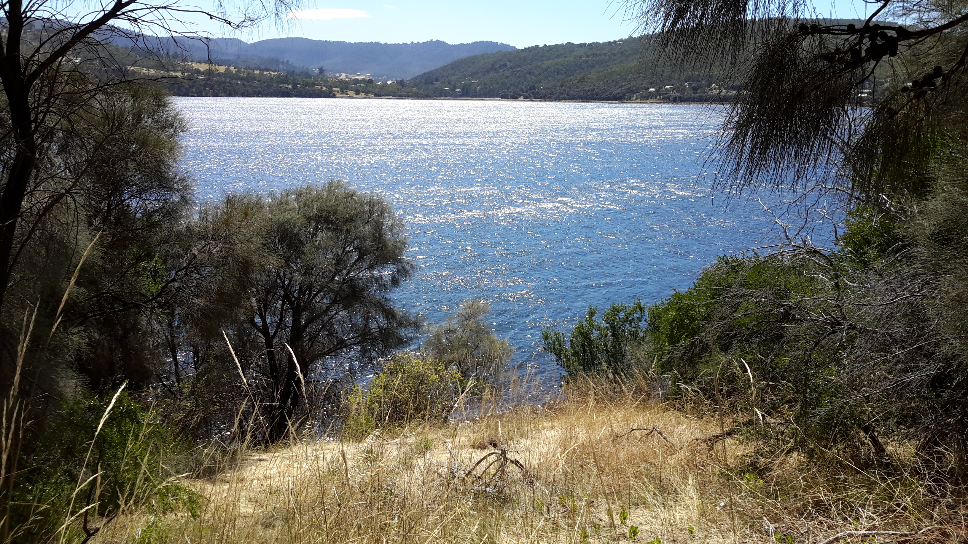
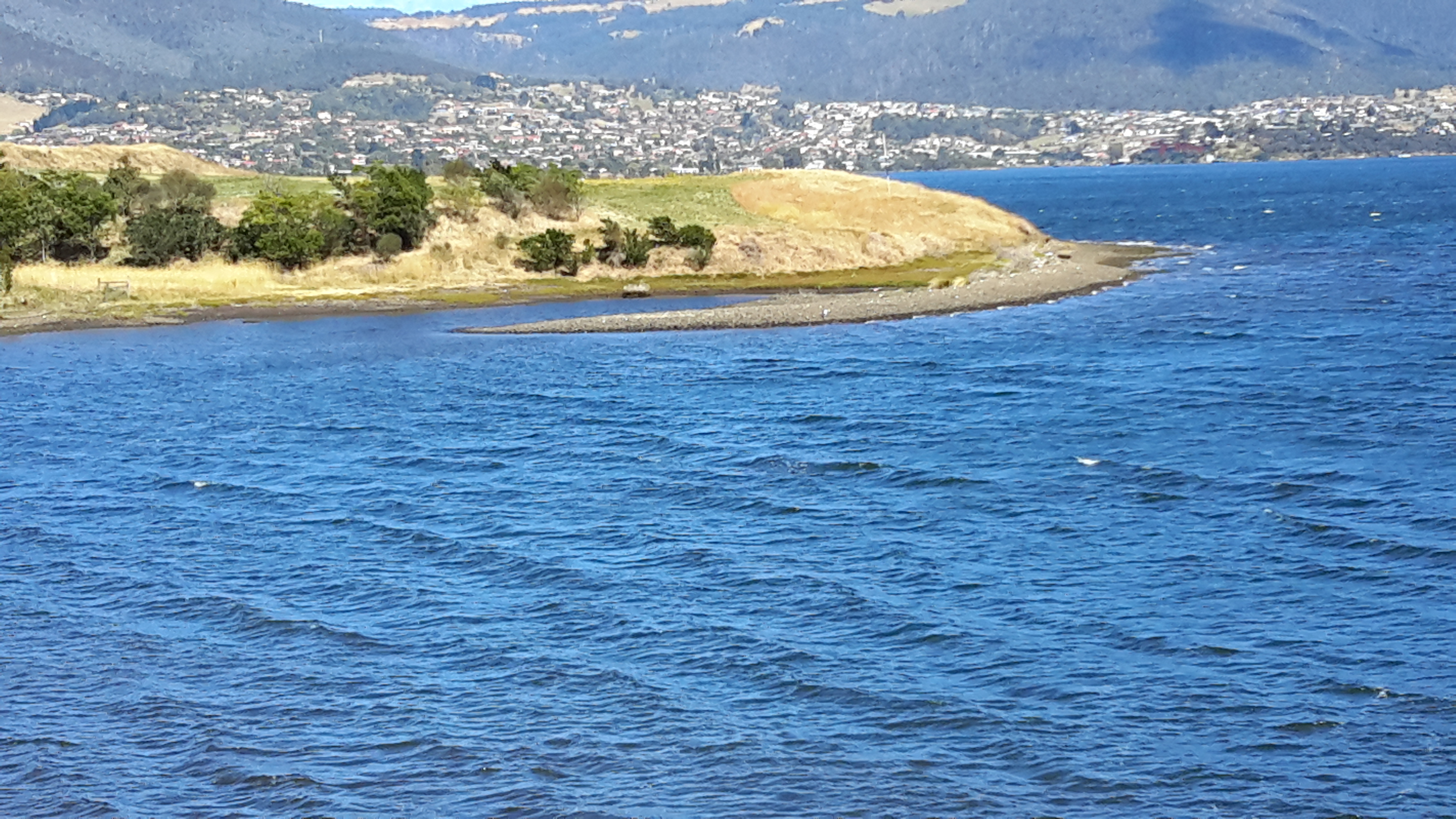
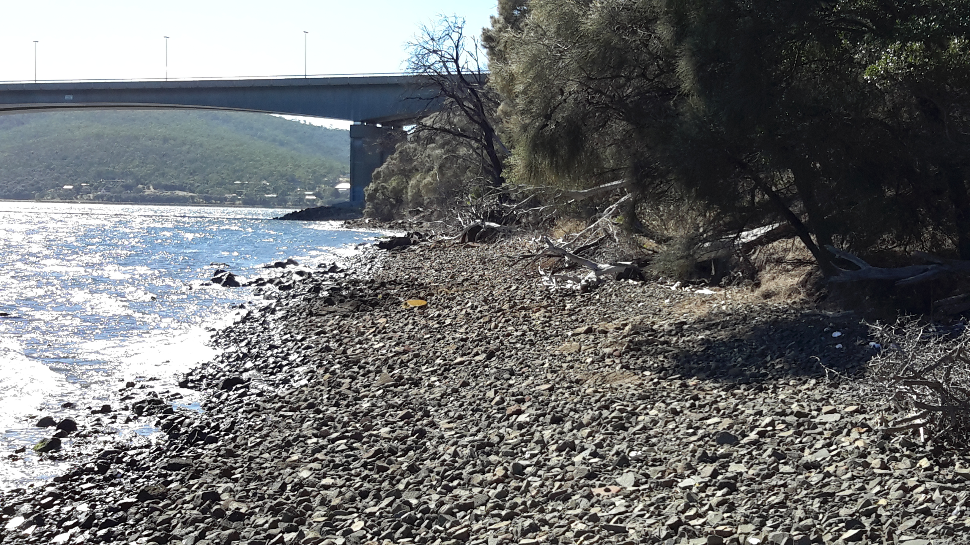
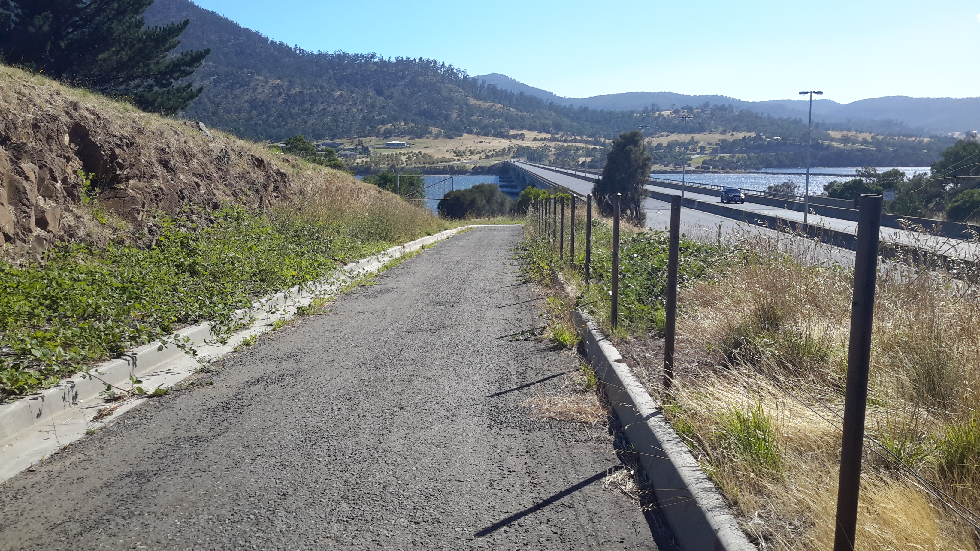
Back on a main road we headed towards the wharf, all the while with the river glistening in the strong sunlight and with the shadow of the East Risdon State Reserve ever apparent on the eastern shore.

20170227_105352.jpg

20170227_105726.jpg

20170227_110156.jpg

20170227_105527.jpg

20170227_105542.jpgAs we headed west towards the wharf area, Mount Direction on the eastern shore loomed large.

20170227_110153.jpg

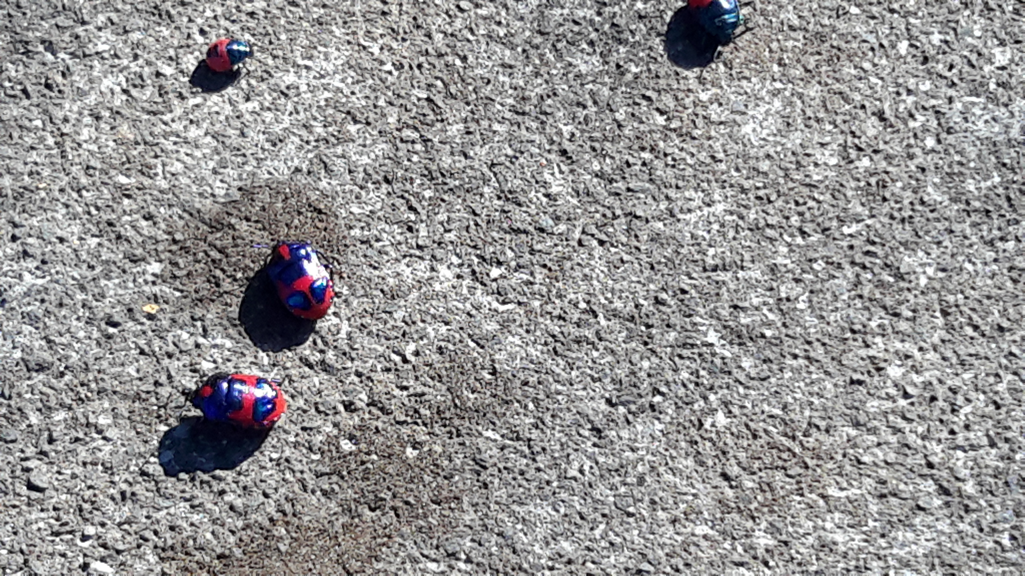
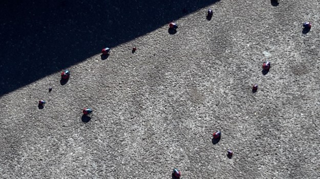
Before reaching the wharf, we passed a repetitive pattern – one which has nothing to do with the Derwent but which attracted my attention.  Bags. Large bags. Heavy bags. Very well organised. Very tidy.

20170227_110506.jpg

20170227_110509.jpg

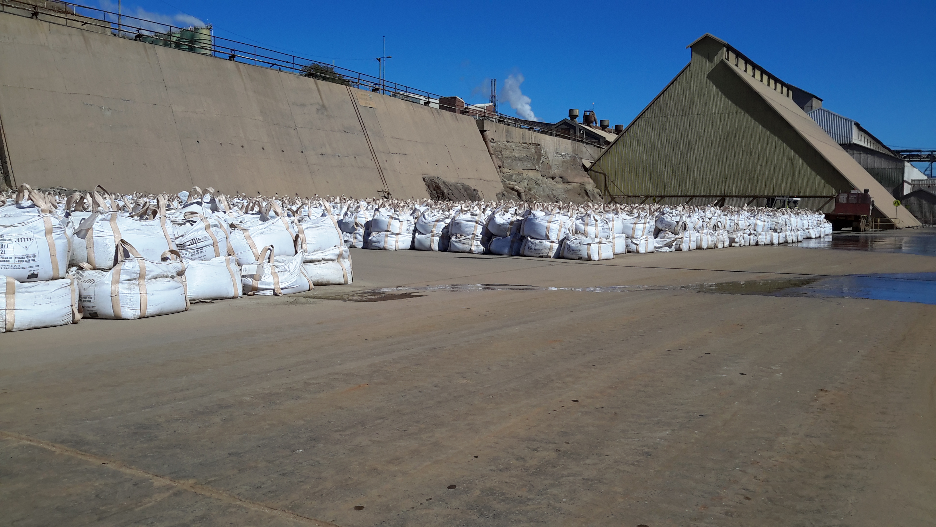
Nyrstar is an operation which works hard to recycle by-products of the zinc smelting process and to minimise wastage. In association with other Nyrstar operations elsewhere in Australia, the Hobart site uses these bags in the ongoing process. I was impressed with the commitment of this company to repair the degradation of the environment which occurred in the early years of the ‘zinc works’ albeit under the control of other companies and how every effort is made now to ensure that no further harm is caused (and no – I am not being paid or encouraged to be so positive.  Early blog readers will remember my posting about the independence with which I have made my walk. You can read I pay my own way as I walk along the Derwent River here.

Walking on an industrial site – posting 3 of 5

After we rounded the hill, it was the colour and nature of grasses which took my attention.

20170227_103718.jpg

20170227_103722.jpg

20170227_103742.jpg

20170227_103747.jpg

The waving grasses skirted a wetlands including ponds and dams. These were created as a treatment works so that water entering the Derwent River is unpolluted.  Deceptively simple, but complex and sophisticated. Some of these treatment areas are located in the foreground of the following photos;

20170227_103716.jpg

20170227_104103.jpg

20170227_104110.jpg

20170227_104144.jpg

20170227_105017.jpgI particularly liked walking along the reclaimed track next to the water of the Derwent and watching a pair of Gulls with their two immature offspring. These were either Kelp or Pacific Gulls. I suspect they were the latter because their yellow bills did not seem so large as those typical of a Pacific Gull.

20170227_104458.jpg

Looking across to the eastern shore I recognised the inlet of Shag Bay, an area which has been the topic of a number of previous blog postings; for example,  refer here and here.

20170227_104816.jpg

I was pleased to see that on a normal working day, someone still had the luxury of time to be sailing.

20170227_104832.jpg

Walking on an industrial site – posting 2 of 5

Once decked out in our safety gear, Nyrstar’s Todd and I strode off down the road towards the entrance to the industrial estate all the while admiring the day and the view of the Derwent River whenever it appeared around buildings and between parts of the landscape.

20170227_095403 crop.JPG

20170227_102454 crop.JPG

Once through a gate in a high protective fence, we came to a junction. Should we walk forward directly to the river or turn right on a track around a hill shaped by metallic discards decades ago?

20170227_103056.jpg

The choice was easy. We turned right and continued as the track took us above but on the edge of the Derwent River in New Town Bay.  20170227_103354.jpg

20170227_103446.jpg

I could look inland to Mount Wellington and across the Bay to Self’s Point.  An early record of my walk along the Derwent at Self’s Point can be read here and here.

20170227_103356.jpg

20170227_103632.jpg

20170227_104106.jpg

As usual, I loved the brilliant colours that a clear day produces on the river and the landscape.  I hope you find the photos as stunning as I do – long term blog followers know I never set out to create heart-stopping reproduction photos only to record in a casual way what I see. During my walk on Nyrstar property, the world and the Derwent River in particular, seemed spectacular.

20170227_103624.jpg

20170227_103627.jpg

As we walked around the hill, the eastern shore came into view – some of it built up with private houses and other parts remaining as uncleared bushland. My host and I mused on how the first European explorers and settlers would have seen both sides of the Derwent River completely forested. By  being able to see such forests today helped me to have some appreciation of their world at the end of the 18th century.  If those travellers arrived on a day like we were having then the landscape would have looked wonderful, although somewhat impenetrable.

20170227_103635.jpg

20170227_103650.jpg


Walking on an industrial site – posting 1 of 5


This seems an appropriate time to add in the stories of my walk along the water edge of one of Greater Hobart Area’s iconic industrial estates in its 100th year of operation.  This series of postings records the morning when I was privileged to be given permission to walk on some of Nyrstar’s property.  But first – a reminder of what the site looks like from a distance; from other vantage points during my walk along the Derwent.

For example, my blog posting Either side of Bowen bridge – posting 5 of 9 included a photo looking at Nyrstar from Dowsing Point and across Prince of Wales Bay.  Refer also to my postings On through the East Risdon State Reserve along the Derwent River and Along the northern side of Shag Bay and onwards along the Derwent River for additional photos of Nyrstar. These latter two postings were made after my walk through the East Risdon State Reserve on the eastern shore across the Derwent River from Nyrstar on the western shore.

Colloquially known as ‘the zinc works’ or the ‘Risdon works’, Nyrstar’s operation centres around converting raw materials into zinc metal.  More can be read here.

Special permission was required to walk on this land and I needed to agree to particular conditions before I could proceed. The extensive site holds many dangers of physical, chemical, electrical, mechanical and liquid kinds and legislation and internal procedures regulate entry and access. This is not a public access walk.  After arrival at the Reception  office on-site,  I submitted to a health and safety induction process, donned a high-vis vest and other safety gear (including designated boots), and accepted that I must be accompanied by a staff member at all times. My host and guide was a senior manager whose understanding, knowledge and passion  for the environment had to be second to none.  I could not have been more fortunate. And he also loved the Derwent River and told me how he jumped into his kayak to explore the river whenever he could find a moment (no – not while he is at work!).

The day of our walk was gloriously sunny with hardly a puff of white marking the sky; exceptional walking weather where every detail is clear.

A considerable portion of the Nyrstar industrial buildings edge the Derwent River as shown in the Google map excerpt below.

Google Nystar industrial bldgs.JPG

Nyrstar’s property extends into New Town Bay. I expected only to walk on and next to the rocky shore along the lines I marked on the Google map below.  Future postings will reveal whether I actually walked further.

Nystar possible walking track.JPG

I am so very grateful for the support and interest and assistance which Nyrstar provided to ensure that my walk along the Derwent River was complete.  Staff all over the site could not have been more pleasant.


When beetles are not beetles but bugs

In my blog post Did I have company?  – posting 6 of 9 I showed photos of blue and red insects which, I now know, are not beetles but bugs.

20170125_084516

I have been reliably informed by Tony of Insects of Tasmania that what I saw and photographed are Shield-backed Jewel Bugs, from the Scutelleridae family.  More information and photos of family members can be see here.

I am still curious about the terminology.  When is a beetle not a beetle?  What is a bug?  The Australian Museum in Sydney came to my rescue.  I now know their mouth parts, wings, diet and lifestyle are quite different. However the information is insufficient for me to identify future bugs and beetles by sight. I would need to handle one and look very closely. But since I don’t like to invade the space of native animals etc, I will be most cautious now before jumping to conclusions.  Another site  informed me that ‘insects are divided into 25 orders and one order, Hemiptera, classifies bugs. The largest order, Coleoptera, classifies beetles’.  So, on the basis there are more beetles than bugs, making a judgement that an insect is a beetle could be correct more than often than determining an insect is a bug.

Either side of Bowen bridge and Bags on the fence – posting 9 of 9

Because of the isolation of the track and the distance from the residential areas, I find it difficult to believe that people walk here and bring their dogs on a lead.  But what are the tied up plastic bags on the fence if they are not collections of doggy poop.  Any ideas?  They cannot be lunchbags used by Technopark staff because they are on the outside of Technopark’s most outside fence.  Strange. Colourful.  Unnecessary additional reminders of man’s encroachment on natural areas.

20170125_111542.jpg


Either side of Bowen bridge – posting 8 of 9

I continued along this rocky edge of Prince of Wales Bay a few metres away from the main run of the Derwent River, until it was clear that full access around the inlet at water level would not be possible.

20170125_110248

Eventually I came up from the shore and walked through the grass with pounding feet hoping the vibration would deter any snakes.

20170125_110615

I noted that a creative soul had walked this track.  Obviously inspired by the movement of the firm strands of tall grass, on two occasions in different places, a person has plaited stalks together to offer markers of mankind in the neighbourhood, or so it seemed to me.

20170125_111038

20170125_111028.jpg

20170125_111332.jpg

20170125_111337.jpg


Either side of Bowen bridge – posting 7 of 9

Quite quickly I reached the point directly opposite INCAT, while walking around Dowsing Point. I loved the  slabs of rock making up the shore edge. In particular I loved the fluorescent lime green moss/sea vegetation where exposed by the low tide.

20170125_110004.jpg

20170125_110013.jpg

20170125_110056.jpg

20170125_110051

The various high tidal marks on a pebble beach left parallel rows of stones and empty oyster shells.

20170125_110221.jpg

20170125_110202.jpgUnderwater, and still attached to rocks, were the bottom half of oyster shells minus their tasty flesh.


20170125_110238.jpg

Did I have company? – posting 6 of 9

On both sides of the Bowen Bridge lots of dry tall yellow grasses and other scrubby undergrowth grew next to the path. I was the only person around and the track appeared to be used rarely. The area was isolated; the closest residential area was over one kilometre away and I suspect that locals would seldom walk here. With the heat of the day and the nearness of the river, I was alert for the slither of snakes heading down for a desperate drink. However, I feel sure they would be deranged if they drank salty water  –  the Derwent is tidal at this point. Nevertheless I  did not want to step on or corner one – all Tasmanian snakes are venomous.

Strangely, not only did I not see a snake but I also did not see a water bird.  Thankfully there were a few chattering birds in the casuarina and eucalypt trees to keep me company.

Earlier in the day when I was walking around the Technopark fence line downhill nearest the Derwent River,  I had watched dozens of brightly blue and red coloured beetles- I haven’t seen these before, and a website for identifying Tasmanian beetles does not include this one.  Anybody any ideas?

20170125_084516.jpg

20170125_084523.jpg

The experience was very pleasant and I would be very happy to wander this way again.

Word of caution for others who might follow in my footsteps: the seedpods of the casuarina were liberally sprinkled along the pathway and in the light dappled by the trees, full concentration was required so that I didn’t roll on them – a sprained ankle or a fall down the slope were just two possible consequences if I did not watch where I was going.

20170125_105440.jpg

Either side of Bowen bridge – posting 5 of 9

Once under the Bowen Bridge I could see a track continued in the easterly direction, and skirted around the bottom of Technopark.

20170125_104953.jpg

20170125_105002.jpg

20170125_105044.jpg

100 metres along this track I spotted the only sign of bureaucracy.

20170125_105314.jpg

I imagined I might surprise a fisherman at the end of the track or detect one who had made his or her way from the track to the water’s edge and was partially hidden by the bush. But I never did. I never saw anyone.

As I continued walking I spotted the township of Risdon across the river.

20170125_105336.jpg

20170125_105554.jpg

And then the large industrial plant of Nystar came into view.

20170125_105544.jpg

Most prominently, the gaping ‘mouths’ of the  boat building company INCAT stood across the inlet of the Derwent River (Prince of Wales Bay) from Dowsing Point.

20170125_110009.jpg

20170125_110021.jpg

20170125_110024.jpg


Either side of Bowen bridge – posting 4 of 9

I decided to walk from the Bowen Bridge around Dowsing Point towards the Derwent Entertainment Centre on the Glenorchy side of the bridge.  A faint track showing occasional foot traffic looked promising and became my guide.

20170125_095351.jpg

Early in the walk along this track, easy views to and access to the water were not possible although as time passed the river came into constant view. 20170125_095427.jpg

20170125_095500.jpg

Then the pebbled and rocky shore appeared.

20170125_095708.jpg

20170125_095446.jpg

I was delighted when I came across a slight semblance of a track down to the river’s edge.  Soon I was on the shore and walking that rocky ‘beach’.  The wind was fierce but not cold. My sunhat had no chance of staying attached to my head. I lathered on the sunscreen hoping for wind protection. But it was fresh and invigorating. The air was alive and so I felt even more alive. And so pleased that my return visit to Dowsing Point had been able to bring me down to the water of the Derwent River.

20170125_095949.jpg

20170125_100033.jpg

20170125_100222.jpg

20170125_101115.jpg

Clearly native oysters grow on the rocks near the shore.  The whitening shells of long dead oysters were thrown up at the high tide level.  I was surprised not to see any Australian Pied Oystercatcher birds looking for a meal.

20170125_100126.jpg

I continued walking around the contours of Dowsing Point, thankful that the tide was out and the shore was wide enough, dry enough and had no insurmountable obstacles. But beneath the northern section of the fenced-in defence forces precinct suddenly the ground became marshy and a trickle of water in a swampy like environment emptied into the Derwent. I did not believe this was passable.  Perhaps if the tide had been lower and if I was wearing gumboots, I might have continued.  On another day, this most likely could be a doable section and one I could tackle from the Derwent Entertainment Centre end of the walk.

After searching unsuccessfully for alternatives, eventually I retraced my steps, and climbed a grassy hill for another view of the obstacle – which looks benign in the photo below.

20170125_103014.jpg

I have walked along the Dowsing Point suburban streets with paddocks at their ends that extend to the shoreline shown above, such as Park Road and Dwyer Place. Unfortunately high fences,  locked gates and dead ends prevent access to this defence forces land.  Trespassers Prosecuted signs were a deterrent.  20170125_091847.jpg

20170125_092014.jpg

20170125_092225.jpg

From the obstacle preventing my continued shore walking,  I turned back and walked towards the Bowen Bridge.  Eventually I left the beach after reconnecting with the hillside track used earlier.

20170125_100021.jpg

20170125_100230.jpg

Occasionally, next to the faint track through the grass, someone had placed track markers – coloured rectangles on posts. Very thoughtful.  On the way back I found a wonderful confusion of markers; just as we know some mailbox catalogue deliverers dump a pile of undelivered catalogues in drains or over someone’s fence, it seemed the person placing the track markers dumped his/her extras. So there I was, faced with an amusing mini-forest of markers all pointing nowhere and signifying nothing.

20170125_103746.jpg

The markers of mankind are always there to be found, and to be puzzled over by those without experience.  But I found my way and soon returned to the Bridge.

Either side of Bowen bridge – posting 3 of 9

Once at the bridge, I made my way  through long grass and weeds to the fence line hoping to find a gap or to be able to follow the fence downhill and arrive at the water’s edge.   I was relieved when the fences stopped giving me open access to the land below. The Derwent River was clearly visible so I continued scrambling downhill until I stumbled across a track which I followed under the bridge.  20170125_094951.jpg

20170125_094956.jpg

20170125_095256.jpg Once under the bridge I discovered a set of concrete steps which would have made descent easy.  To access these from the bridge pathway above, walk to the left of the plaque and then follow the bridge wall downhill until the steps are reached.  There are no gates to block progress.   20170125_095126.jpg

20170125_104732.jpg

20170125_104538.jpg

Either side of Bowen bridge – posting 2 of 9

As I left Technopark I had a view of a new aspect of the Derwent River.

The Derwent River flows into Prince of Wales Bay and consists of tiny inlets including one at the bottom of the Dowsing Point hill.  I noted there were  no opportunities to walk next to the edge in the bay below – either vegetation hung over the water or private jetties and businesses crowded the edge.

20170125_090417.jpg

20170125_090358.jpg

20170125_090520.jpg

20170125_090532.jpg During the many vehicular crossings of the Bowen Bridge that I have made, I could never see where it would be possible to climb down and be under the bridge. Nevertheless I felt there must be a way.

I walked along a path from the Australian Army Derwent Barracks on Goodwood Road that leads to and crosses the bridge.  The quality of the path is variable and I suspect it is not much used. One cyclist passed me on my walk to the bridge and no-one was around during my return trip.

20170125_093341.jpg

20170125_094433.jpg

20170125_094721.jpg

20170125_111833.jpg

At the bridge I noticed the large bronze plaque marking the official opening of the bridge – heavily graffitied.

20170125_104645.jpg

But was there a path to the river below?  The absence of signage was not encouraging.

Either side of Bowen bridge – posting 1 of 9

Stage 8 of my walk from the mouth the source of the Derwent River took me under the Bowen Bridge on the eastern shore, and during Stage 10 I walked past the Bridge at Dowsing Point on the western shore after deciding to walk to the mouth on both sides of the river. However, when on the western shore I could not easily see a way to stick by the river edge at Dowsing Point, and since that day promised to be a long one I took the easy option and followed the streets which cut across the Point. I always felt that I hadn’t been quite honest in taking this approach and that I needed to return and be serious about walking the Derwent edge to the extent it was possible.

So return I did, and this series of postings records that visit.

As usual within the Greater Hobart Area, I took a Metro bus which dropped me off one morning within the Technopark precinct at Dowsing Point on the Hobart side of the Bowen Bridge. Technopark is a state government initiative started over 15 years ago with the aim of providing support and encouragement for small businesses and creative individuals with technological related ideas that could be developed into significant money earners for Tasmania’s productive growth. It’s brief has expanded since its inception.

By leaving the bus at the turning circle within Technopark I hoped there might be ways to walk to the river edge and then continue around Dowsing Point.  Until I looked around that day, I had not realised this precinct is seriously fenced, including the installation of electric fencing, and there is no exit except through the main fortified entrance gates.  In the photo below you can see three layers of fencing, with barbed wire strung up at the top of the closer two fence lines- and the Bowen Bridge across the Derwent River in the distance.

20170125_084025.jpg

I walked to corners and along the fence lines without finding a gap, a gate or any chance of passing through.  I could see the Derwent River and the Bowen Bridge with Mt Direction overlooking both – but I could not reach them from the Technopark site.

20170125_084247.jpg

20170125_084753.jpg

20170125_085012.jpg

20170125_085019.jpg

So I had no choice except to leave the Technopark and try other options to reach the River.  The day displayed a stunning blue sky overhead and a moderate breeze which rattled the long grasses.  Mount Wellington was ever present as I walked away from the river.

20170125_085256.jpg

Before long I passed through the gates and headed away from Technopark with the aim to walk to the Bowen Bridge.

20170125_085847.jpg


Big trees

One of the water flows which feeds into the Derwent River is the Styx River.  Long term blog readers will recall, in an early stage of my walk along the Derwent River, I passed the point where the Styx flows into the Derwent in the township of Bushy Park.

20150918_114313.jpg

20150918_114425.jpg

These clear clean waters, and those of the Derwent River are used to irrigate hop fields.

So when media headlines recently mentioned the Styx, I was alert and interested.  The story focuses on an area further inland and in a very remote section of the Styx Valley. You can read more here about the process of photographing one of the world’s tallest trees – and the article includes some sensational photos.

A frisson of excitement pulses through me at the thought of those wonderful primeval forests.  Fresh and clean and original.  But alas, I believe these trees are close to forestry operations where similar trees are routinely clearfelled –  for wood chips! Refer here and here for more thoughts on the matter. If you use Google Maps to look at the Styx River area, a patchwork of logged areas are clearly visible.