Tag Archives: Derwent River

Tarraleah Canal No 1 walk – what is the ‘real’ Derwent?

Will the real Derwent River please stand up!   Where should a person walk if they are ‘walking the Derwent’?

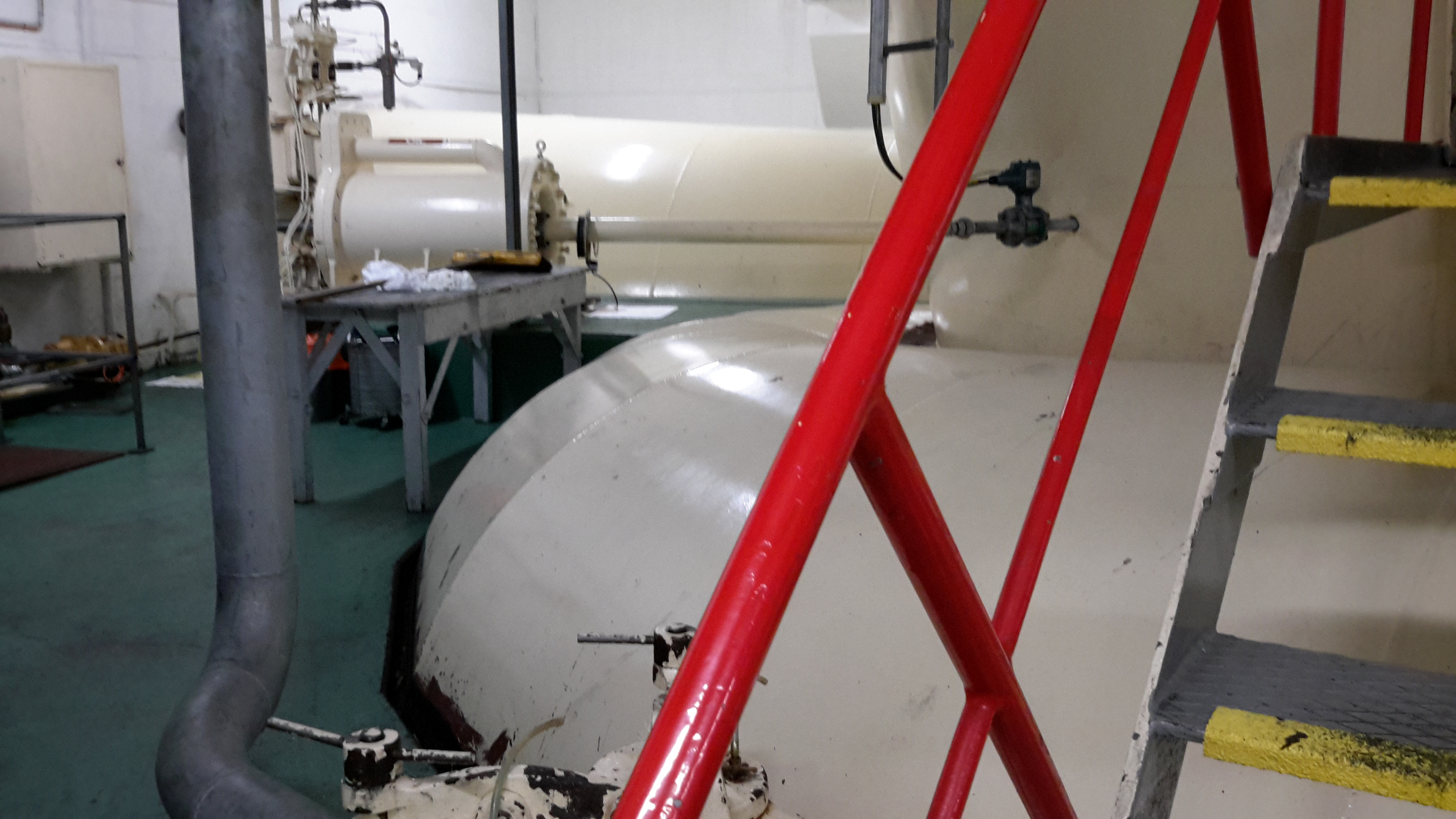
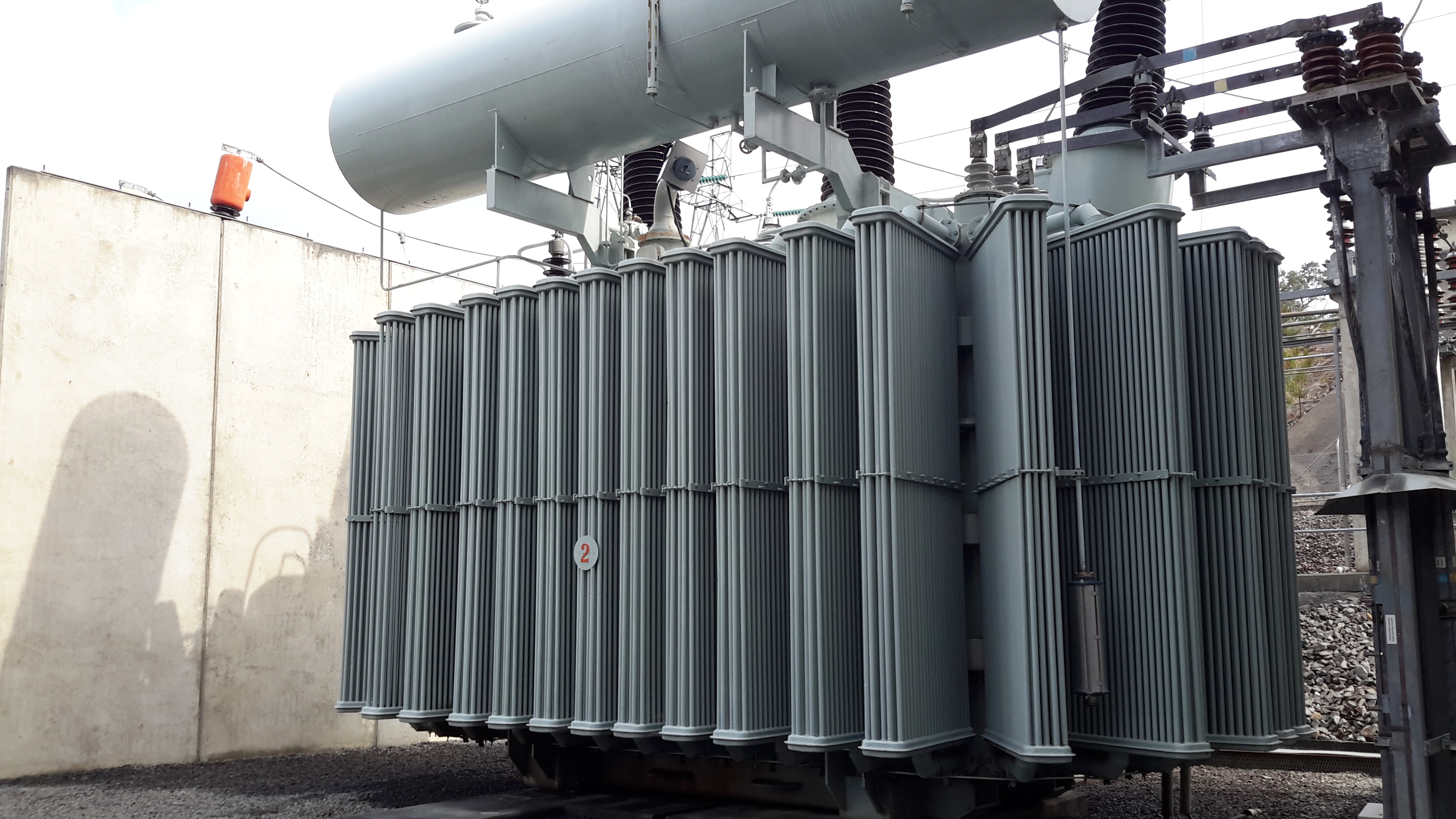
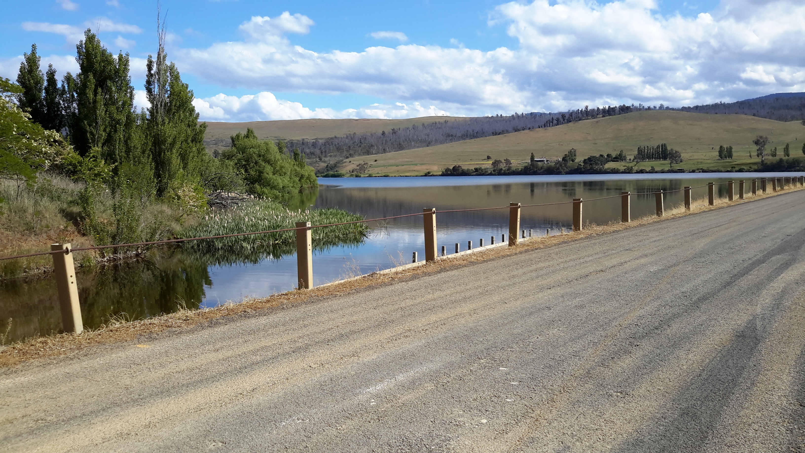
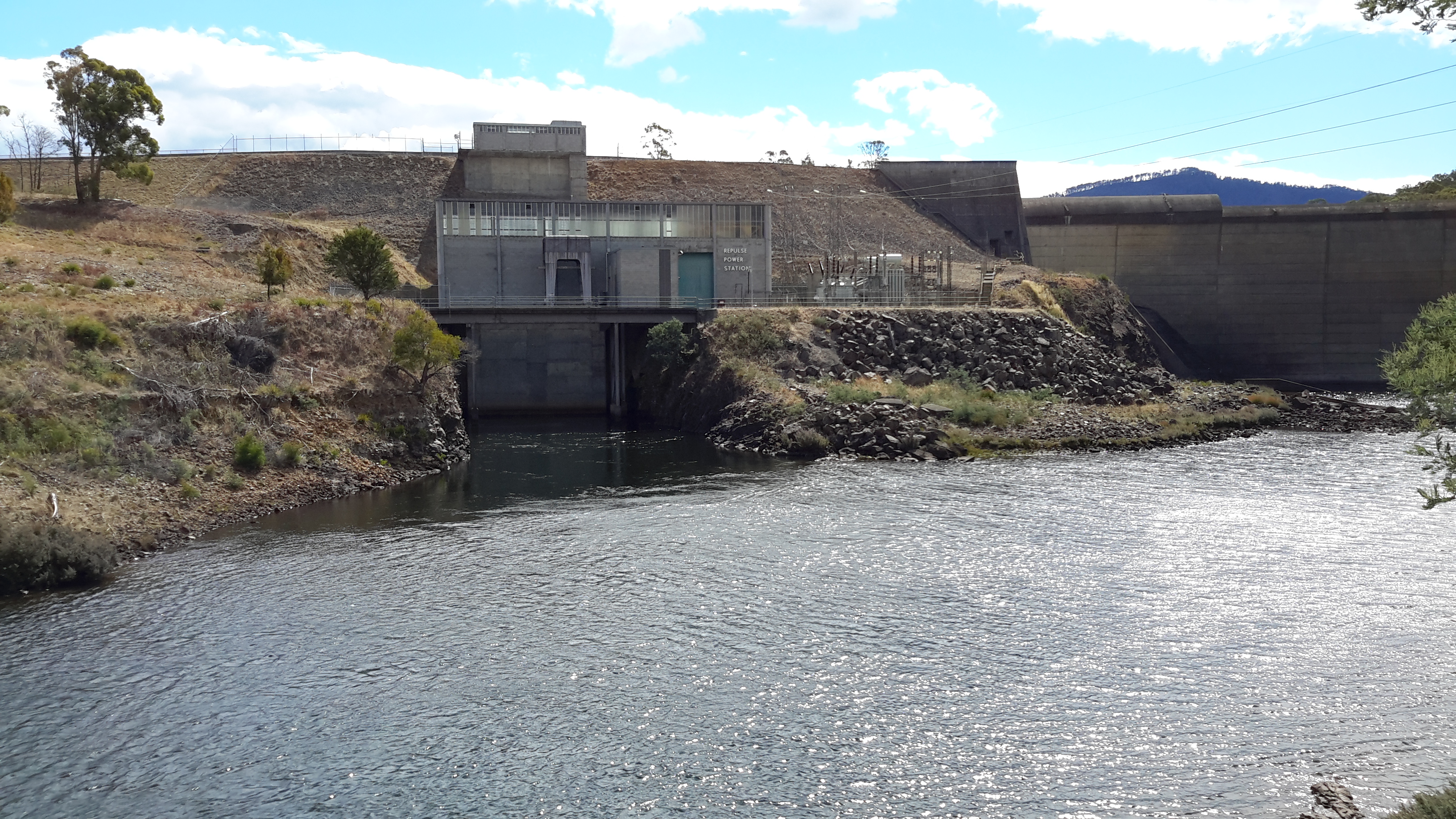
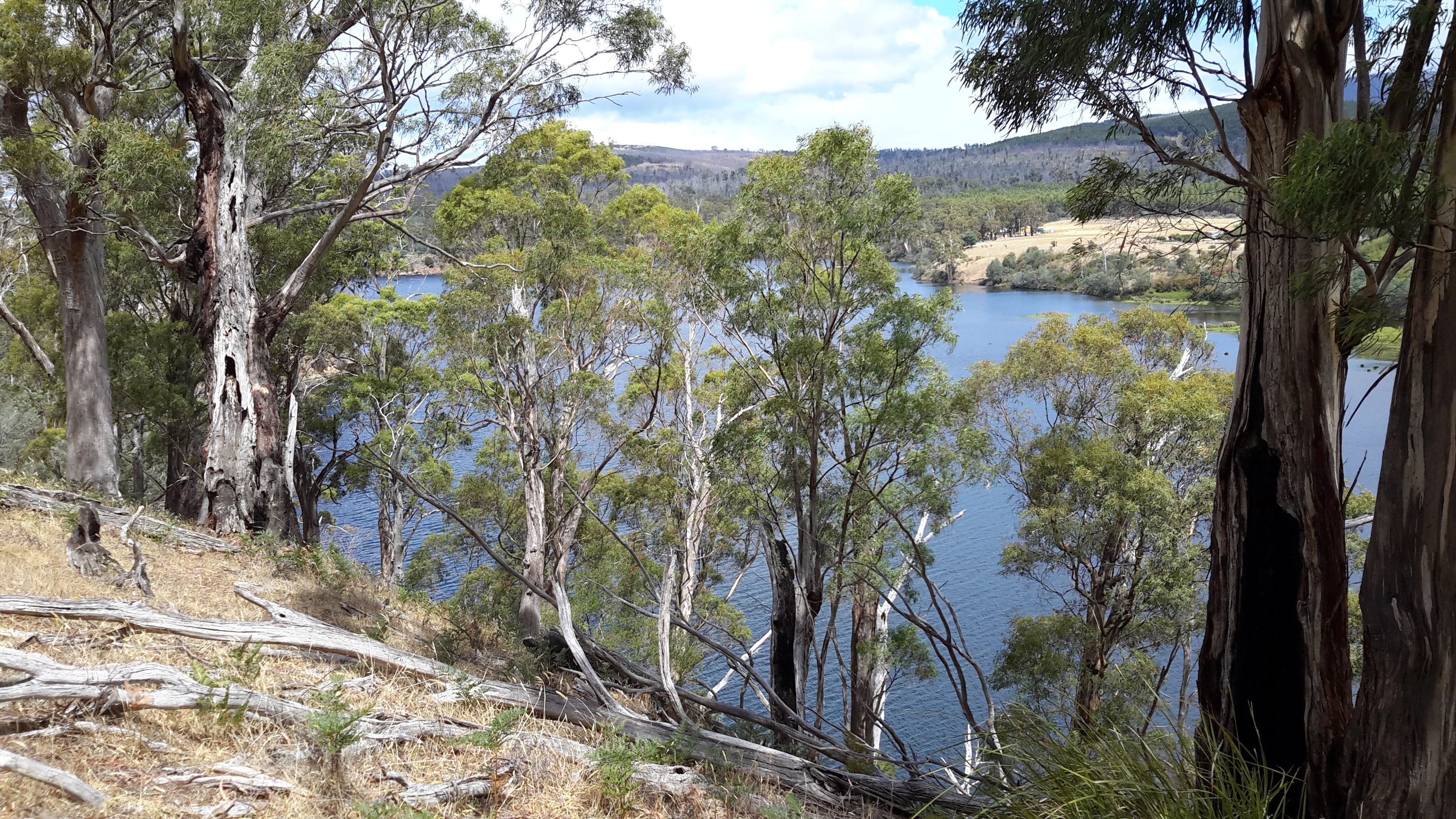
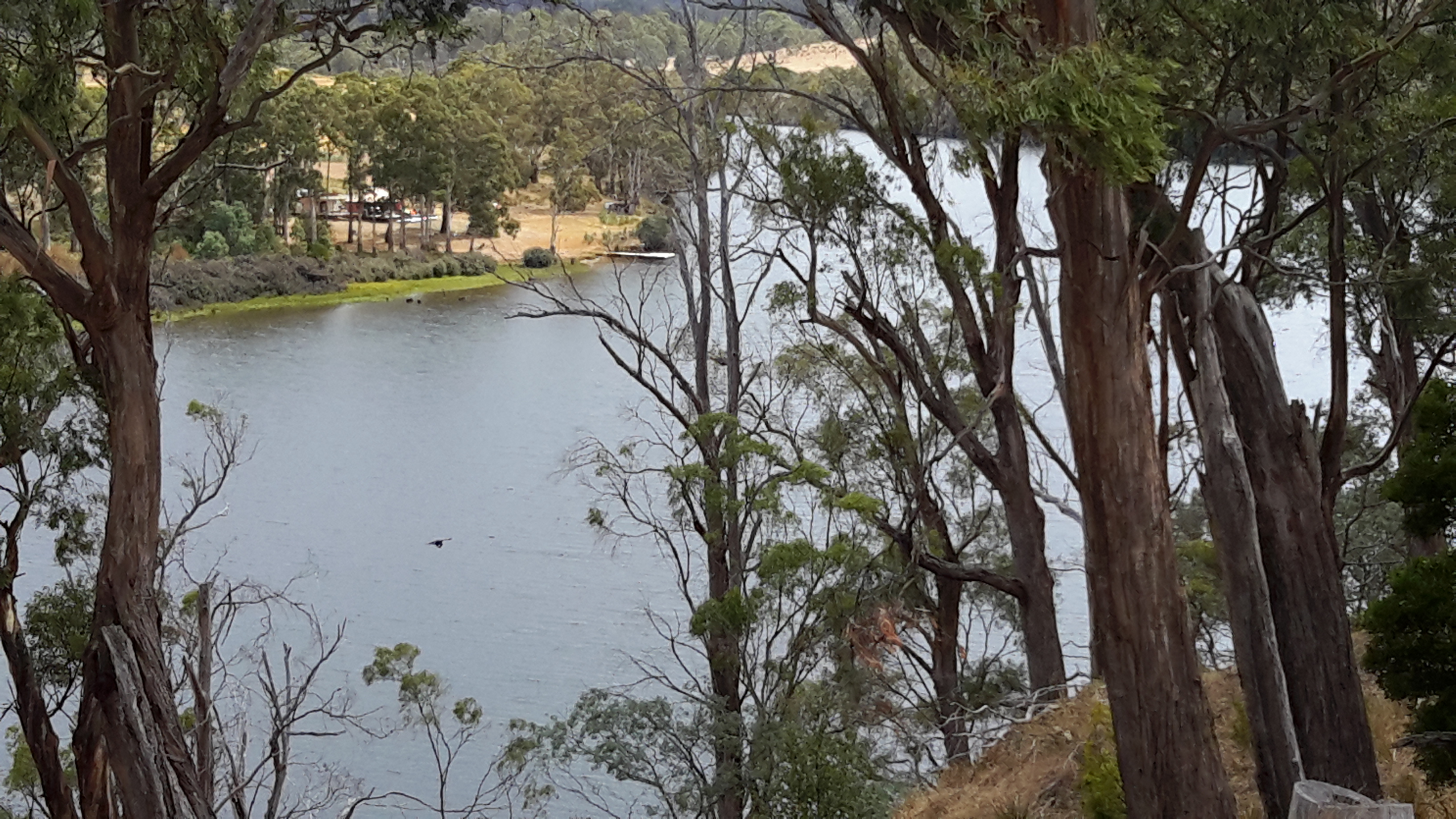
Since the Clark Dam was built in 1952, the Derwent River has not flowed from the area now known as Lake King William downstream across its original bed, until closer to Hobart.  Instead the Tarraleah Canals number 1 and 2 accept Derwent River water from Clark Dam/Lake King William at Butlers Gorge in central Tasmania.  These canals channel the water to penstocks that feed the Tarraleah Power Station.  Electricity is generated and then the water flows on to create more electricity at Liapootah then Wayatinah Power Stations.  Eventually the water empties into Lake Catagunya.

Catagunya Dam to Wayatinah PS.jpg

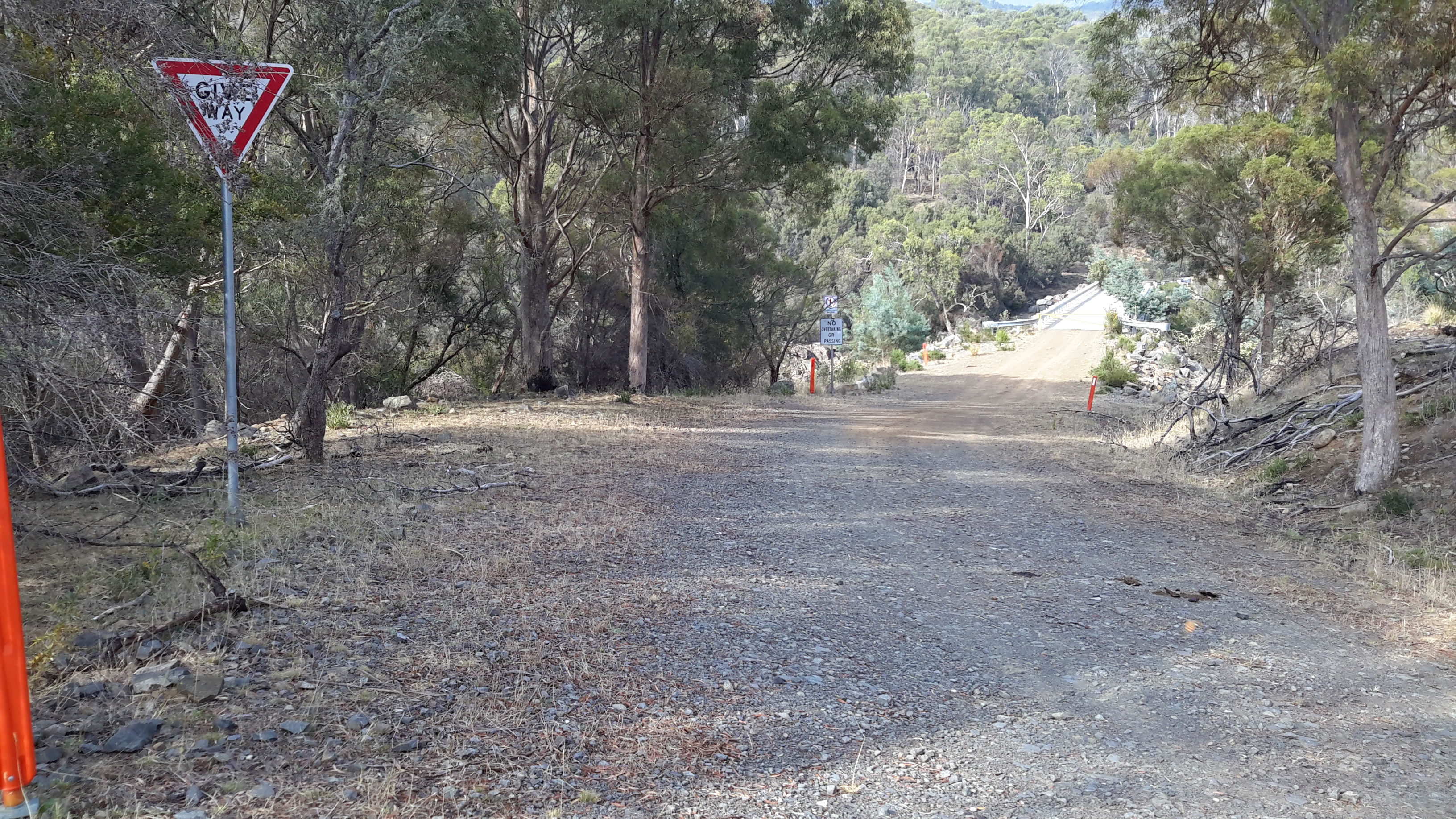
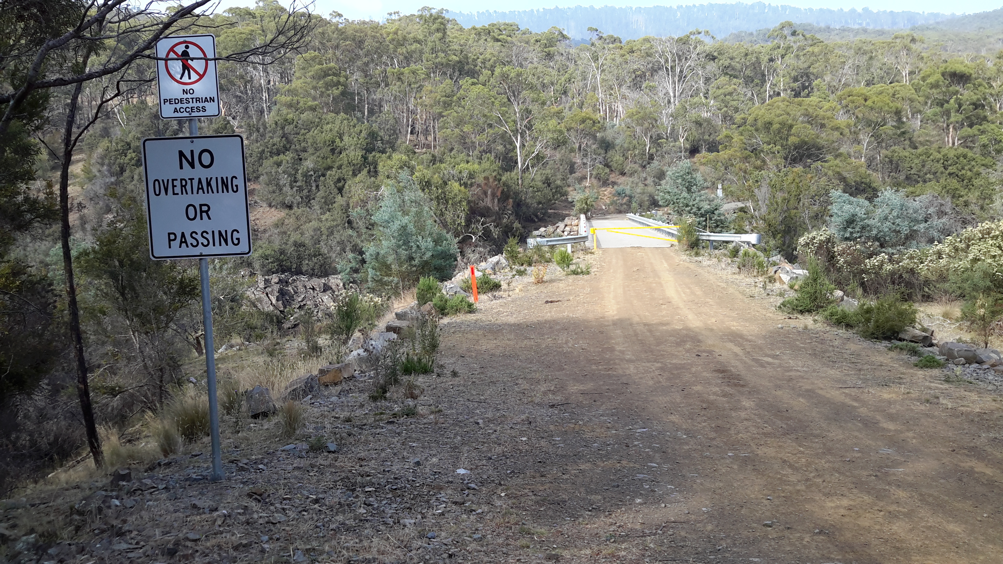
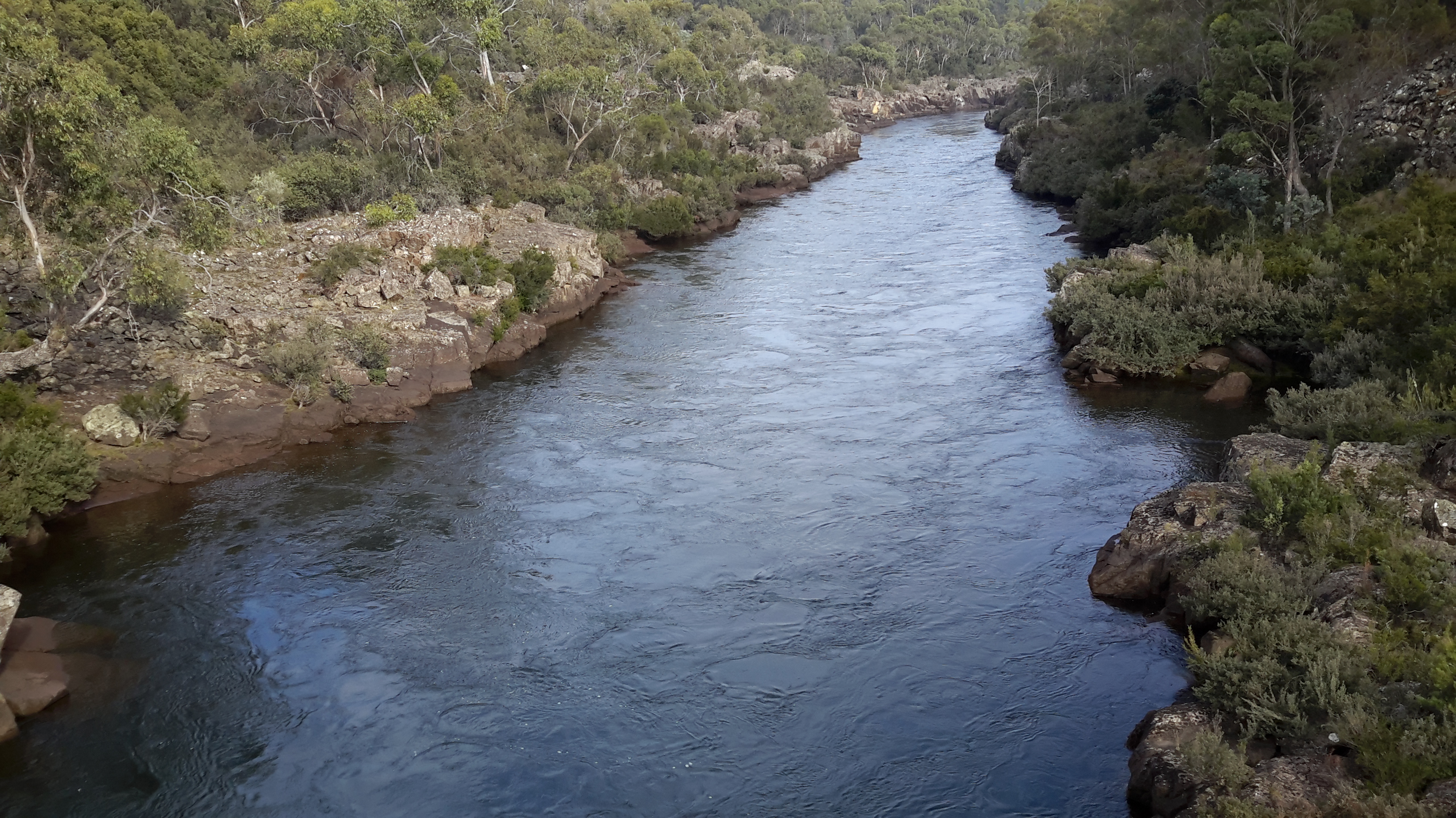
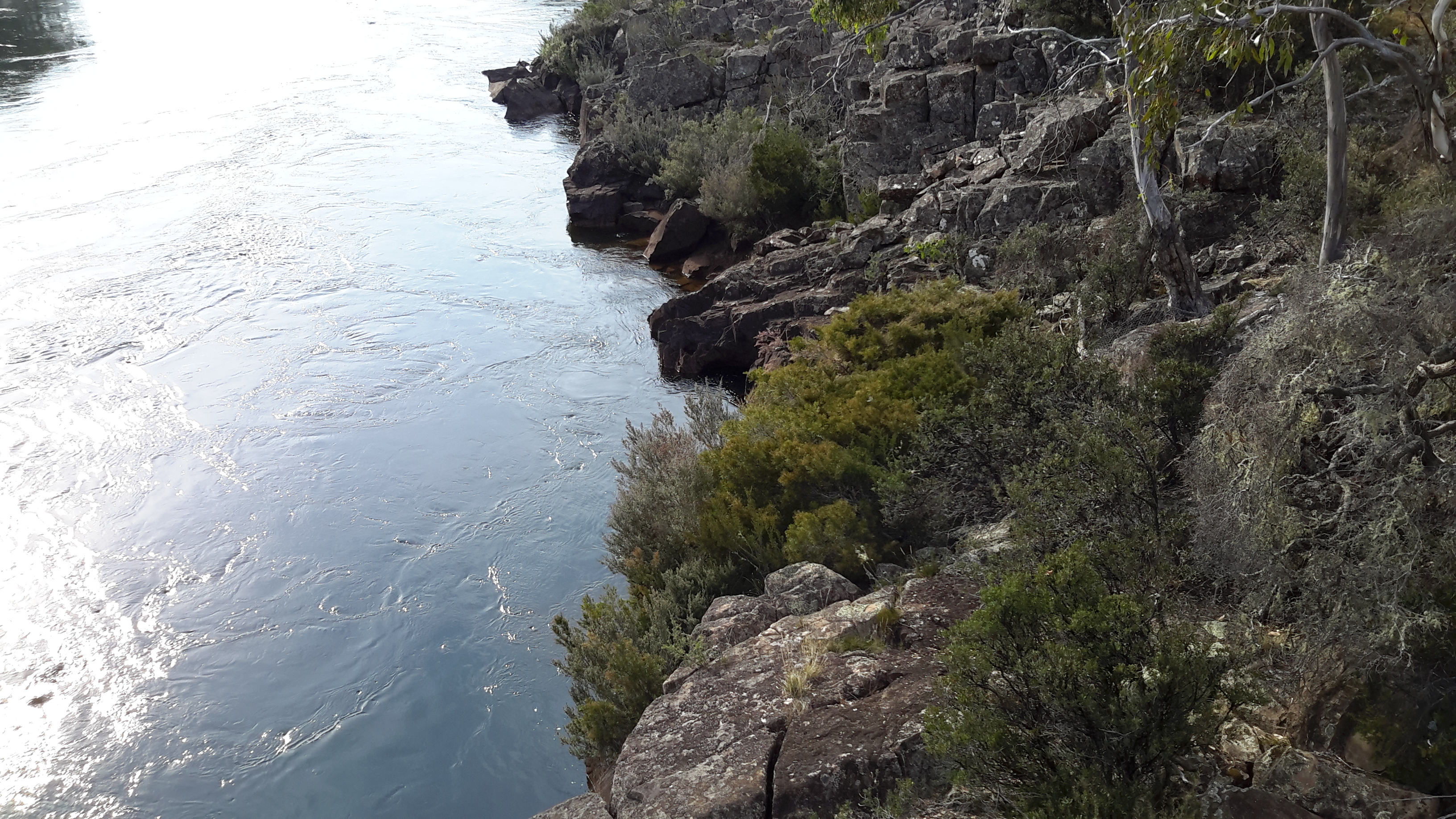
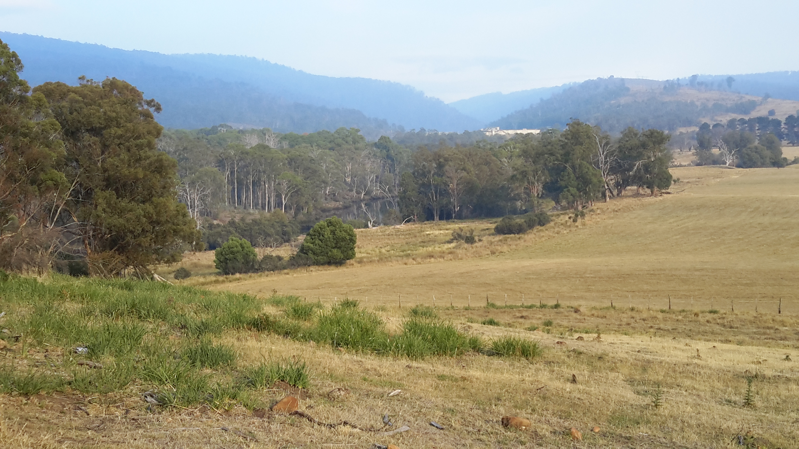
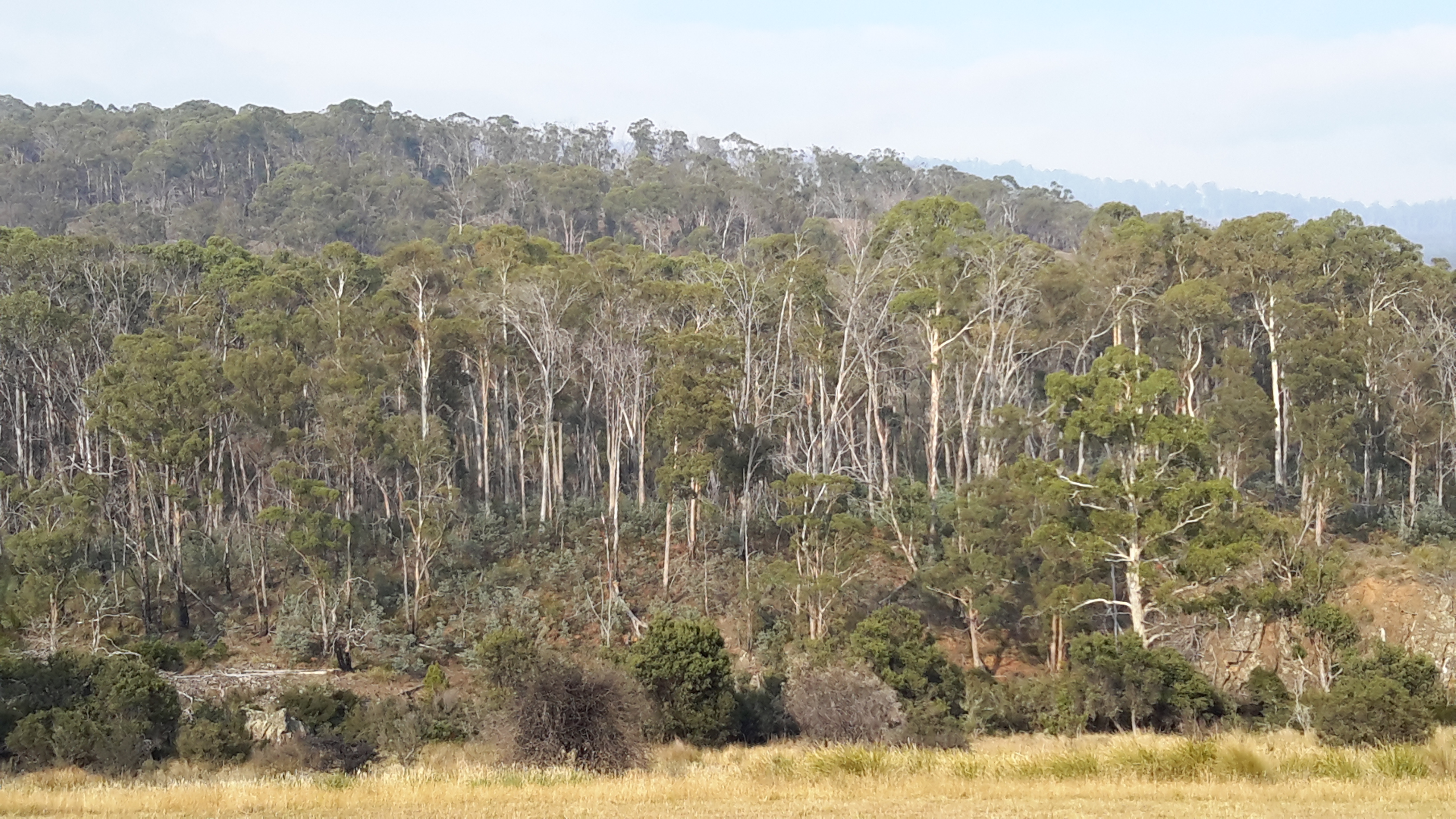
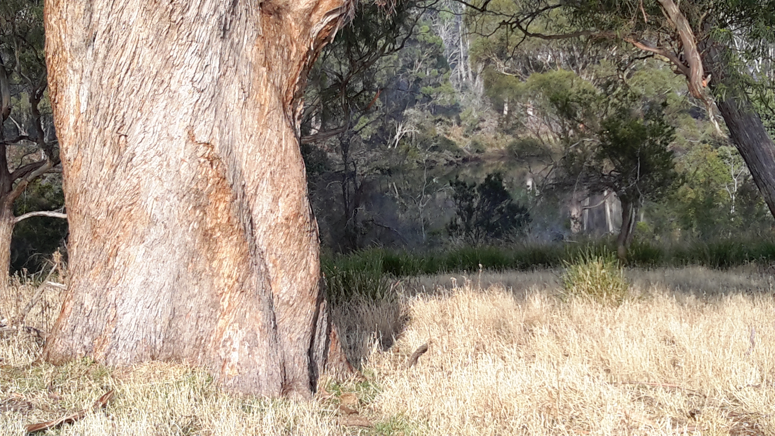
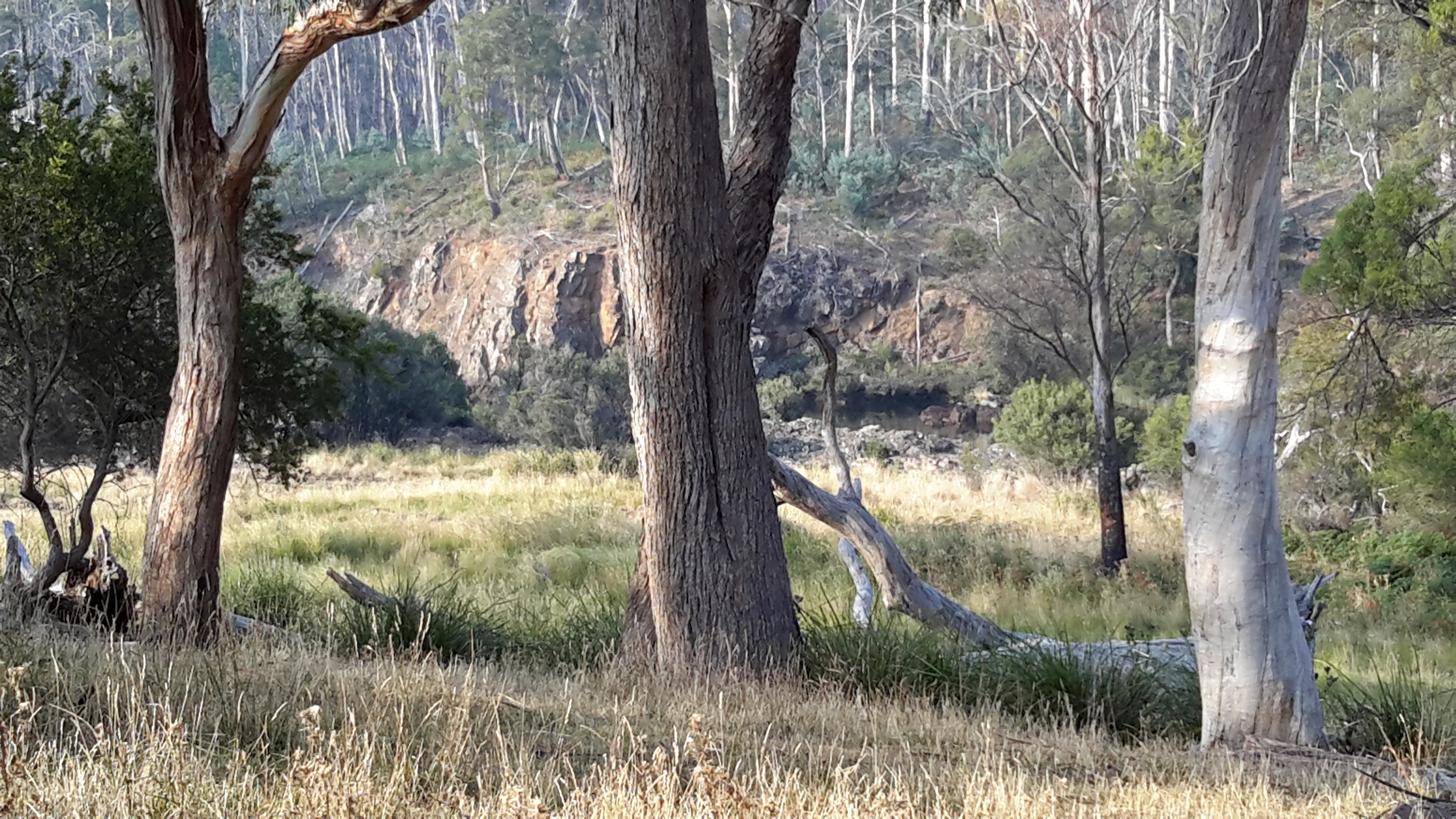
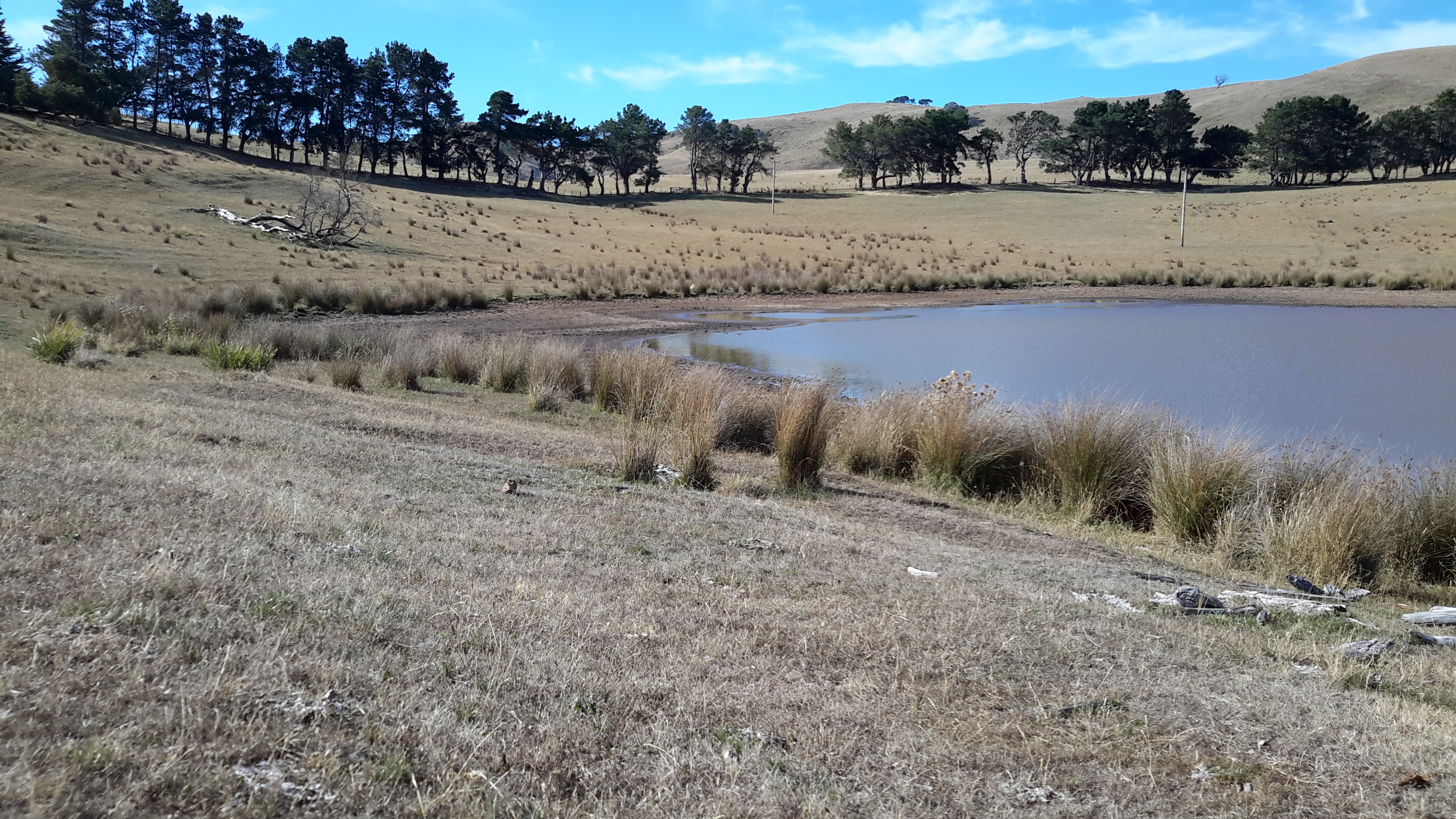
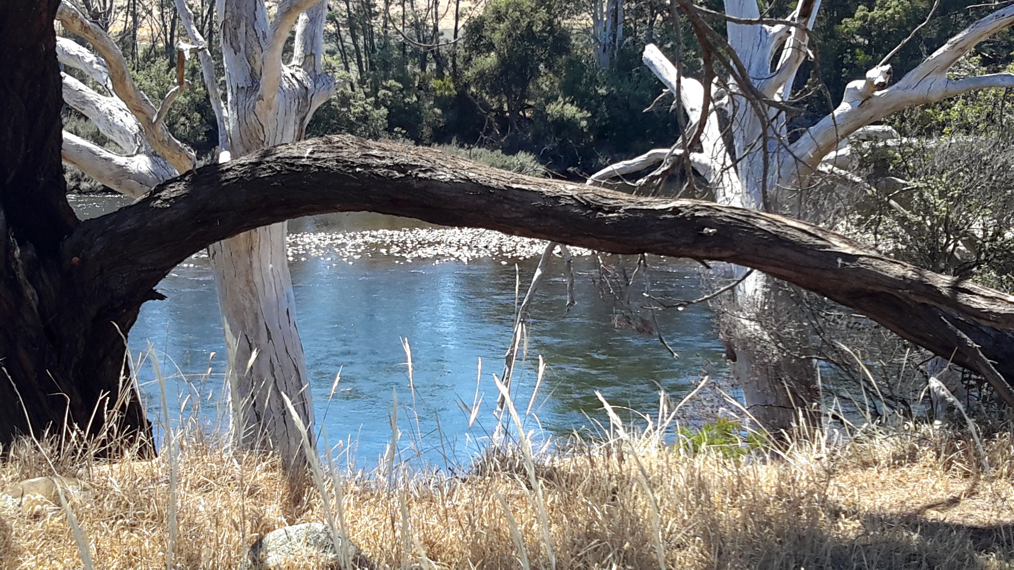
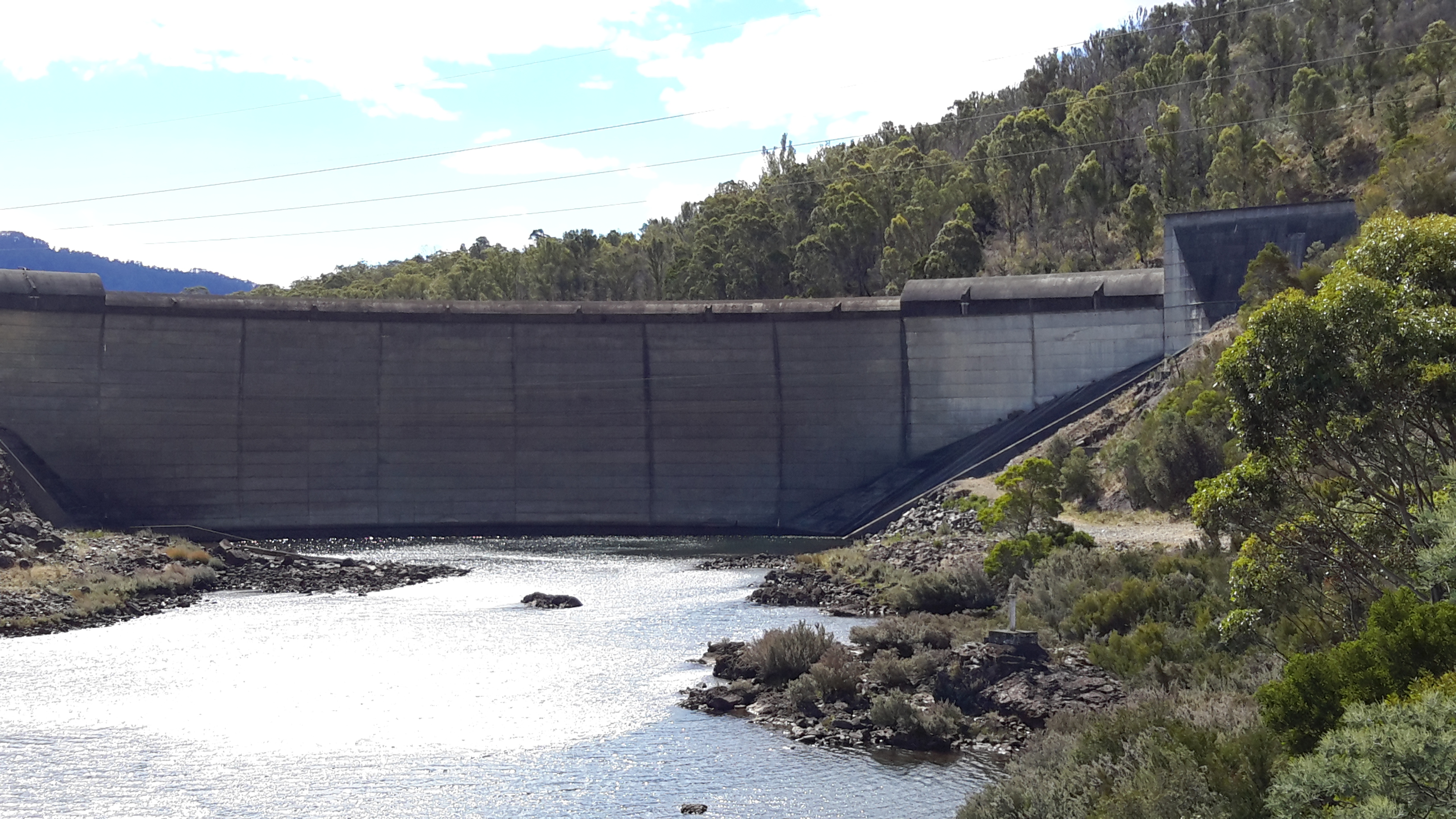
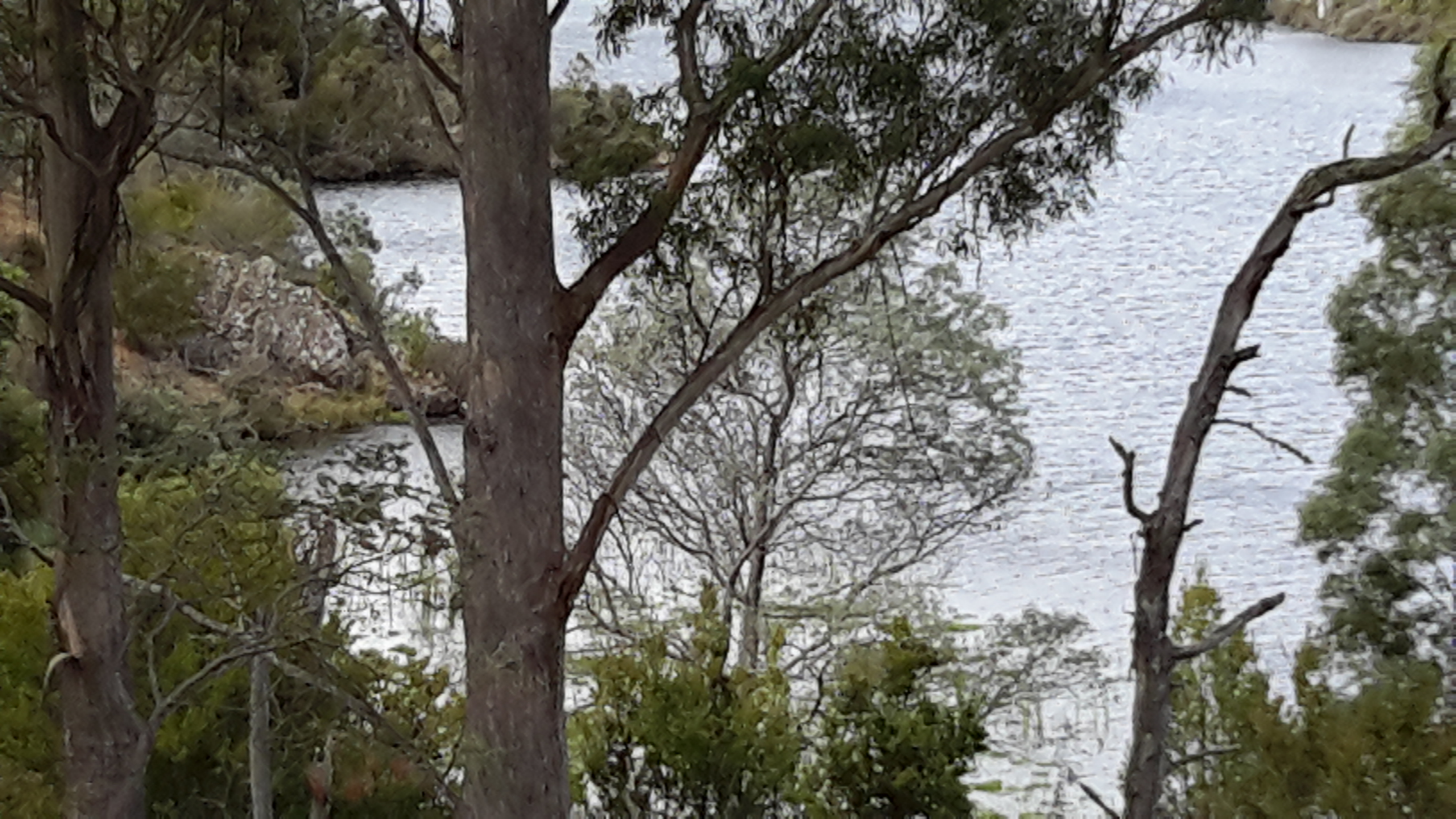
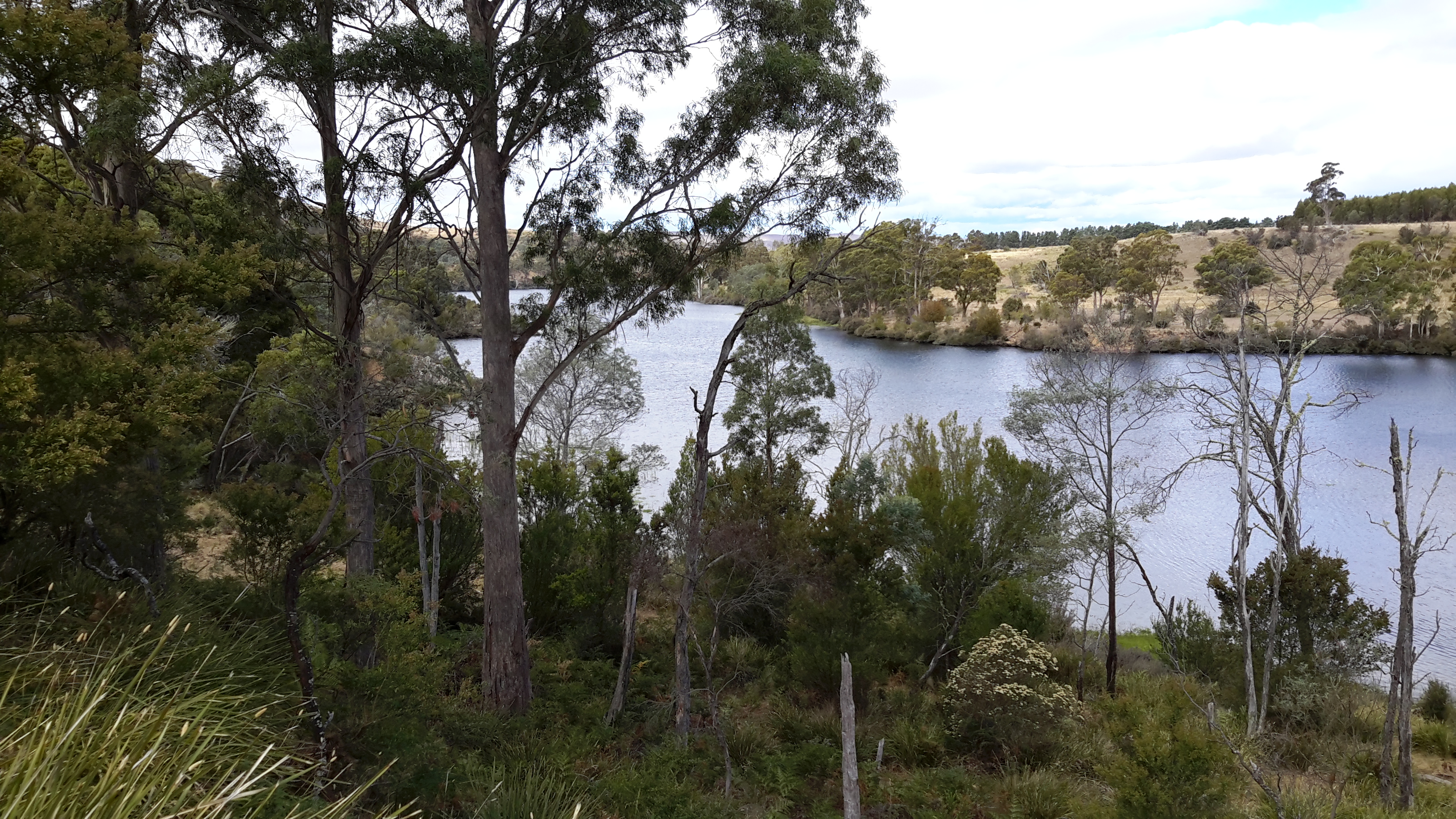
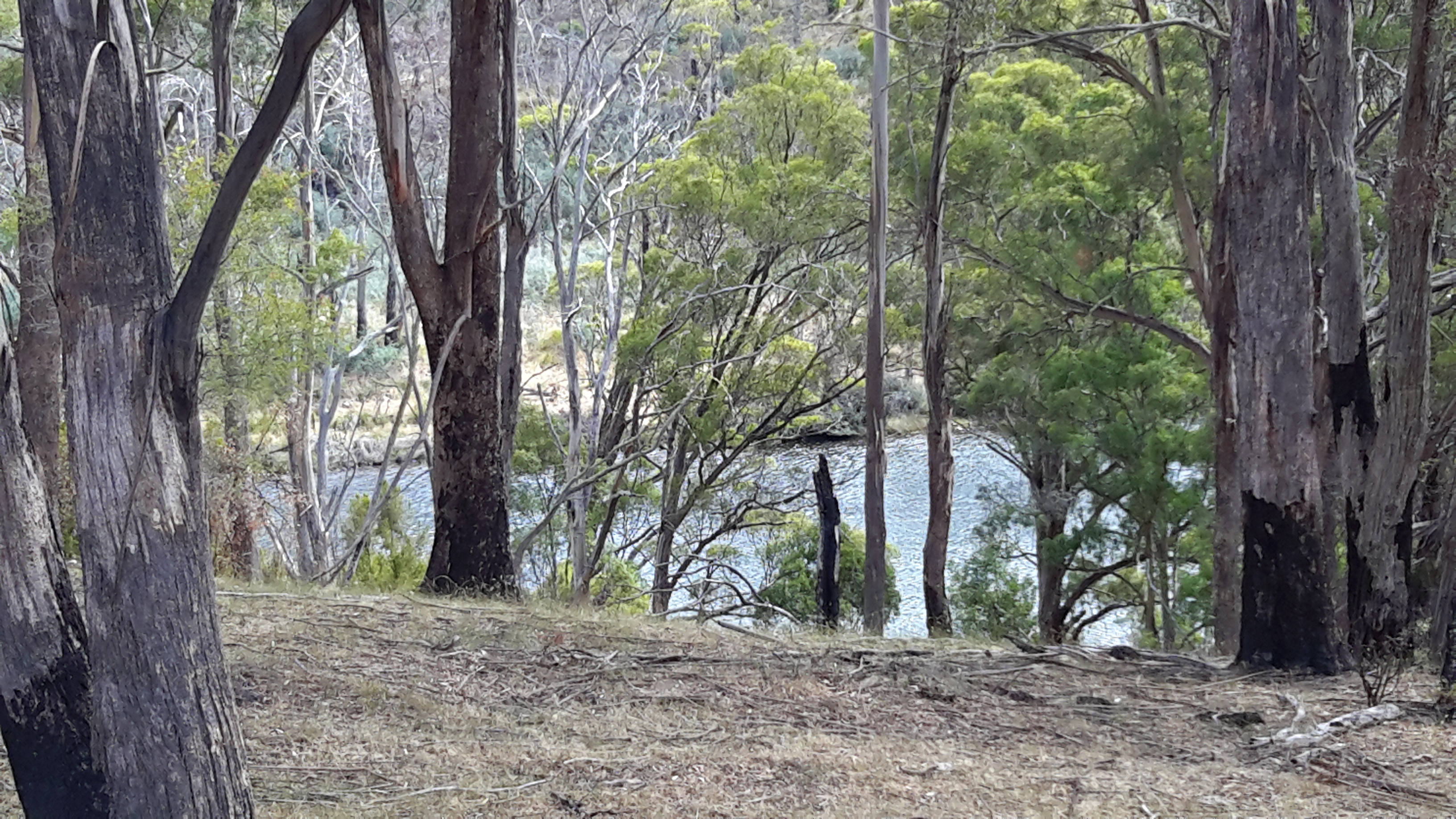
The old Derwent River bed is stony.  Along its length between Clark Dam and the bridge at Wayatinah, seepage from the steep hills creates pools of water.  There is sufficient water, although limited, to create a continuous running flow between the stones.  At the end of Spring the river bed looking upstream from Wayatinah was as follows:

20151029_113841.jpg

Michelle’s photo shows another view.

PA280100 on route to Tarraleah.JPG

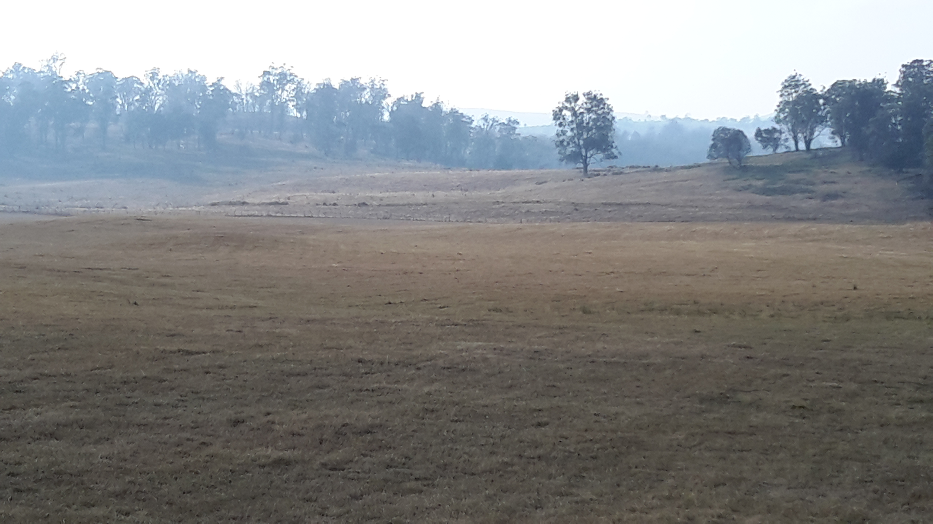
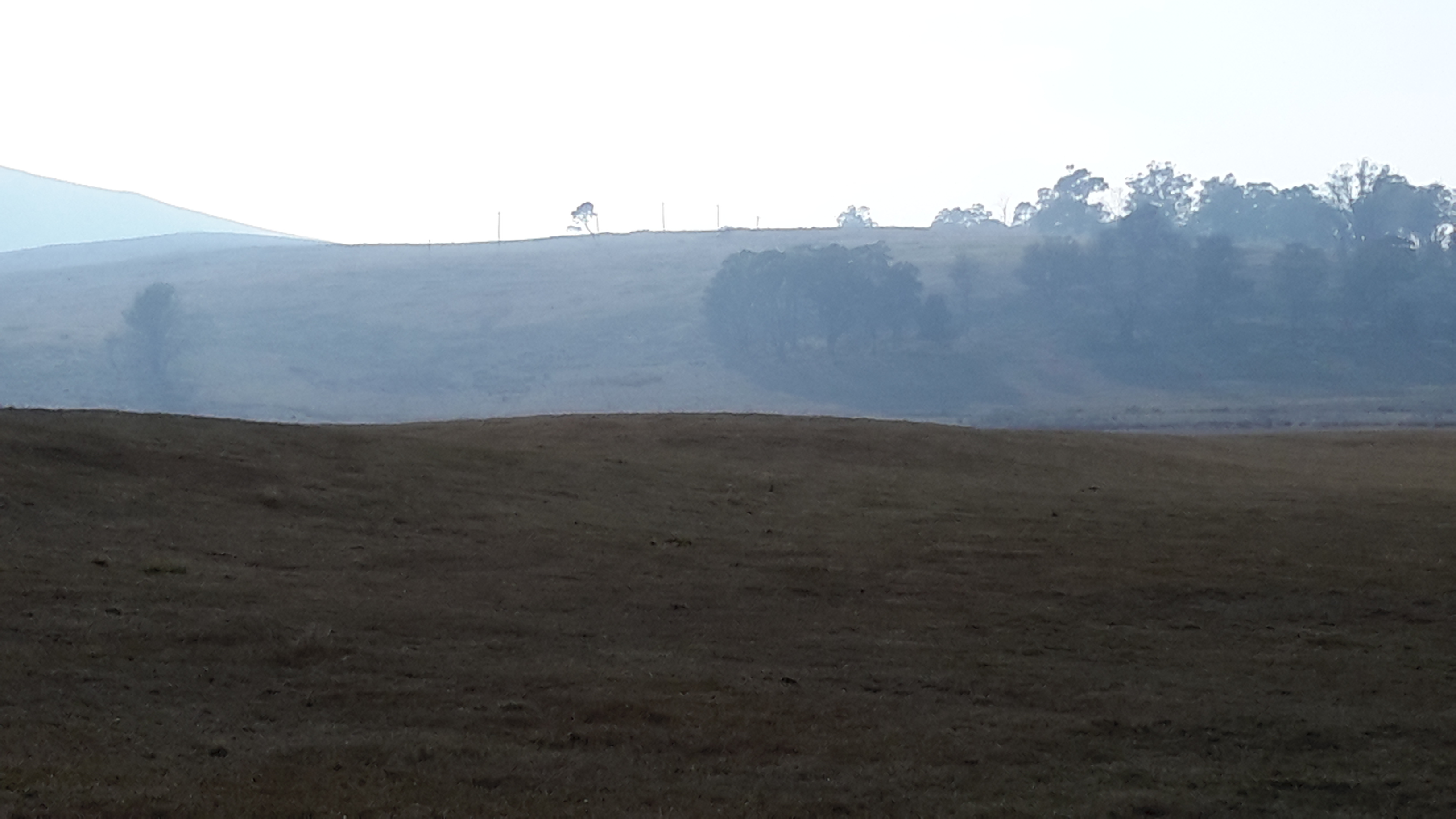
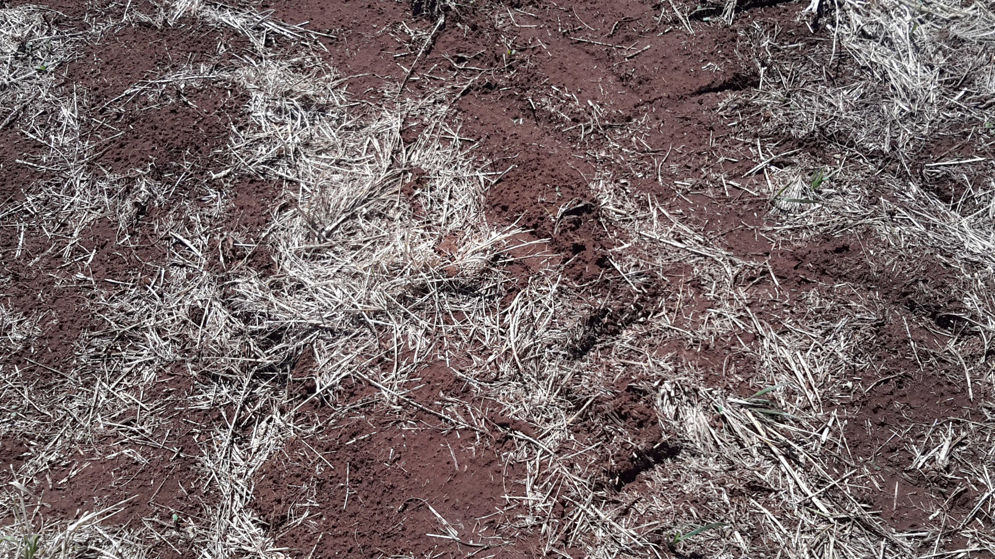
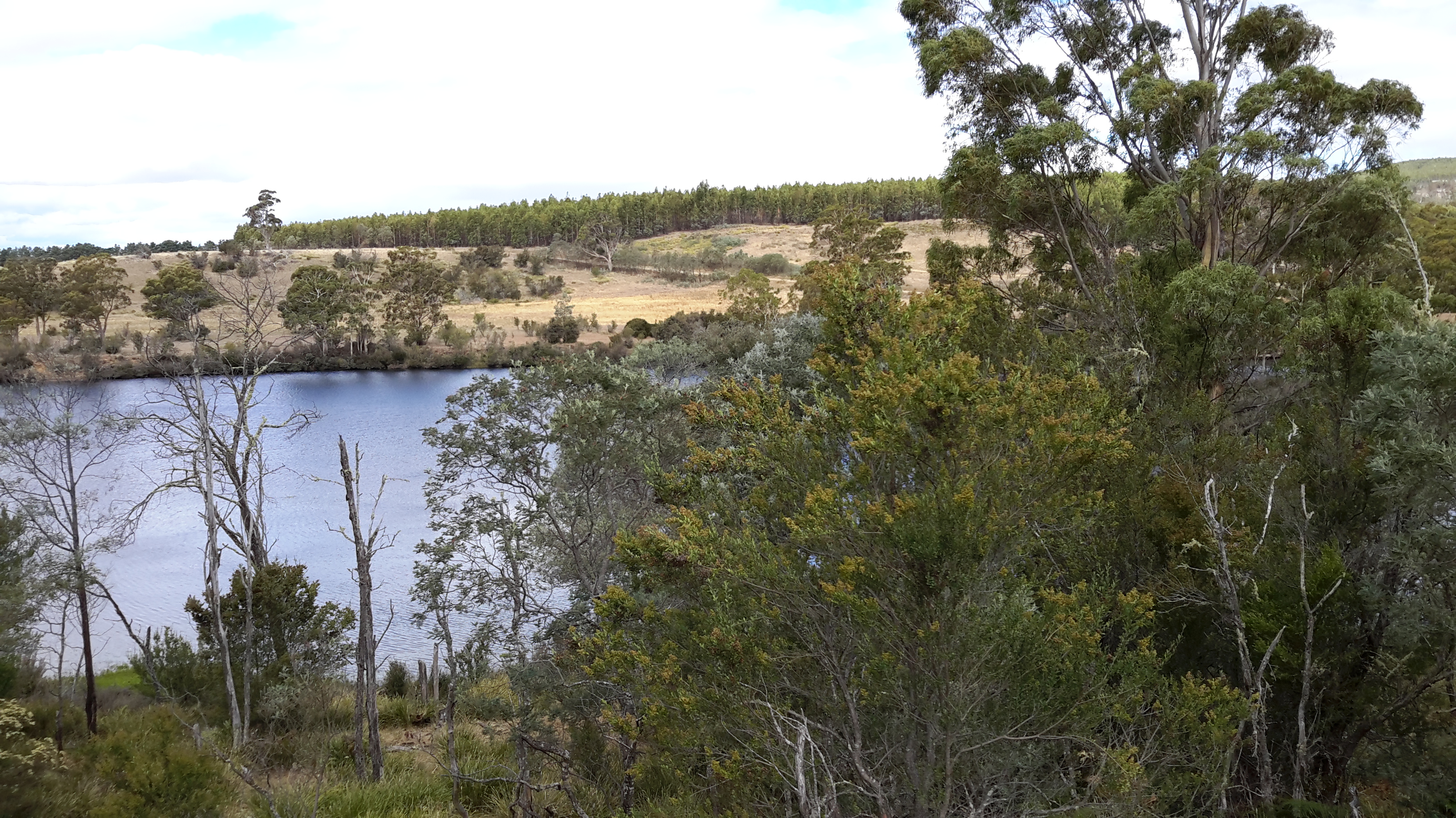
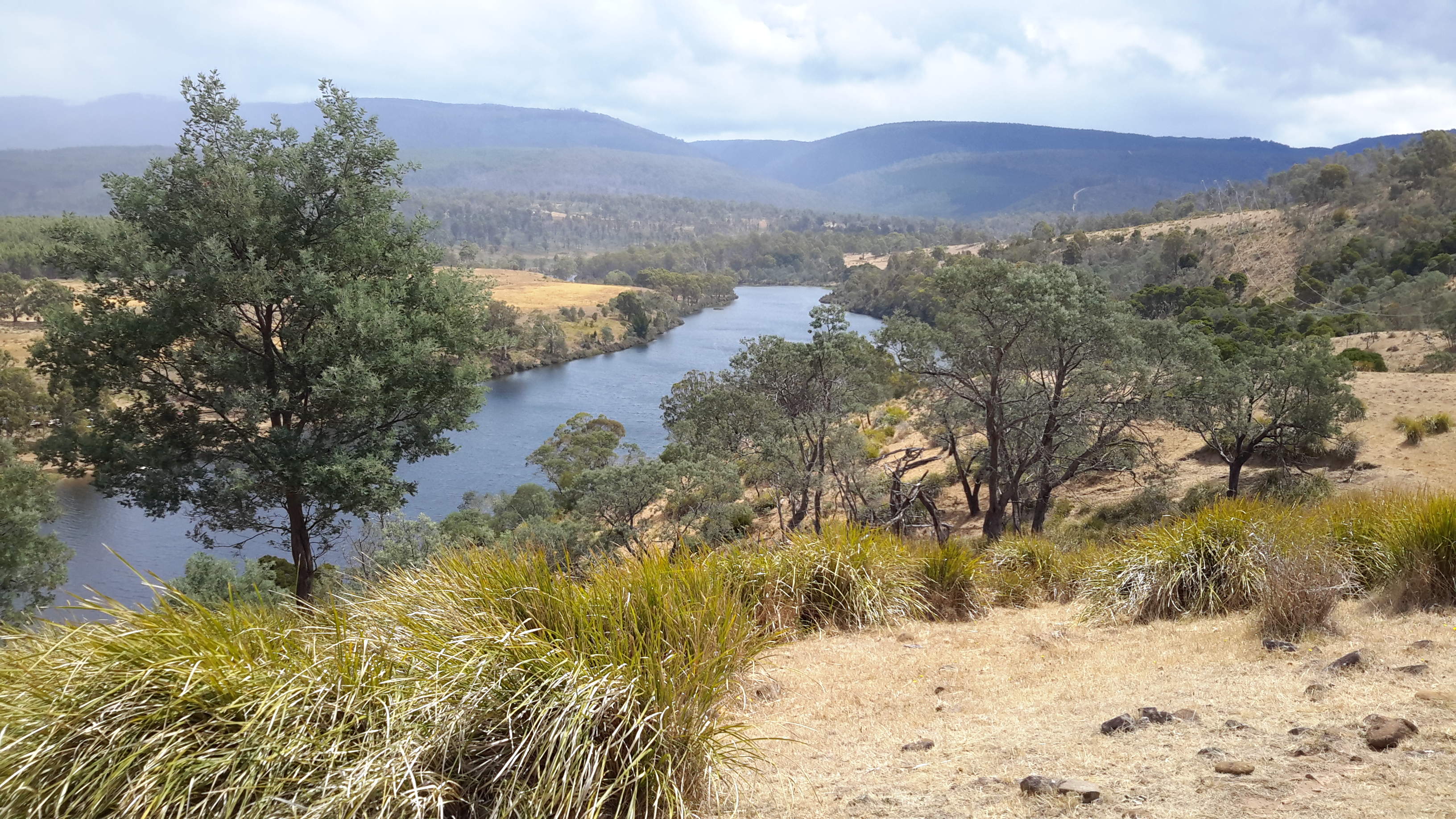
In January the water level had dropped and the river bed looked like …

20160115_130425 Derwent.jpg

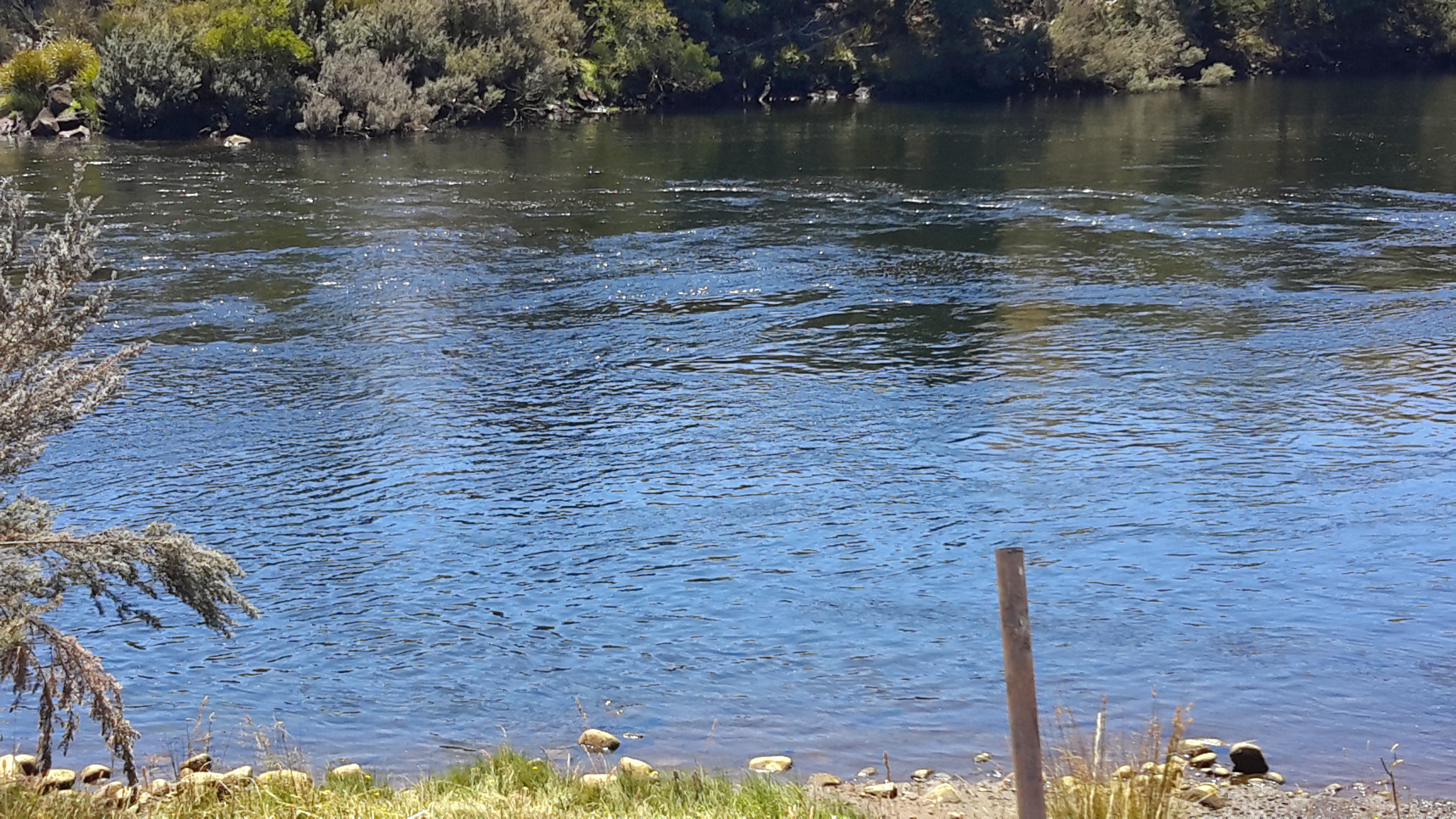
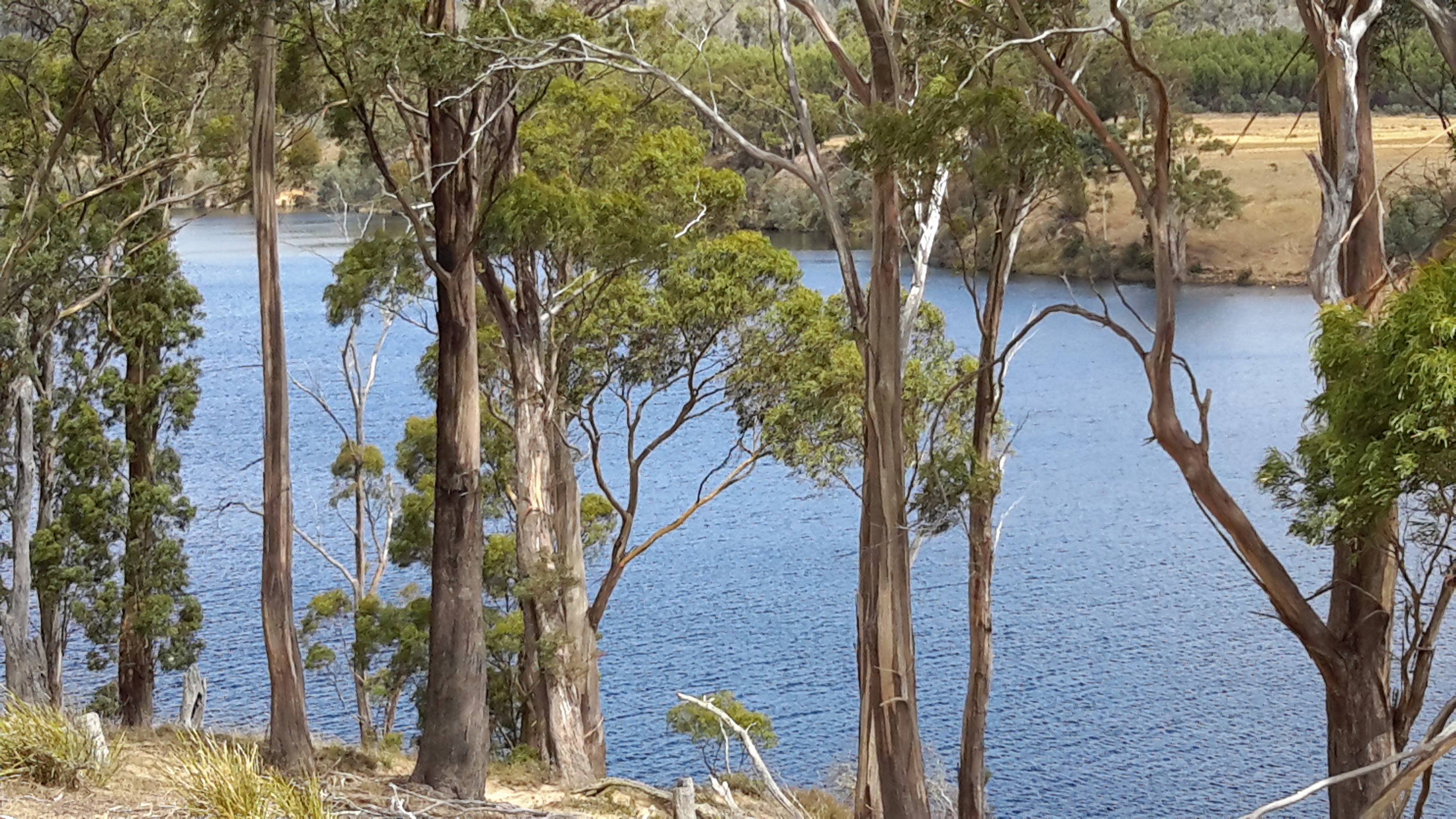
Similarly, between the bridge over the Derwent River bed at Wayatinah and the river’s meeting with the Florentine River, and downstream almost to Lake Catagunya, the river is often a stony bed with limited flow.

20160115_124544.jpg

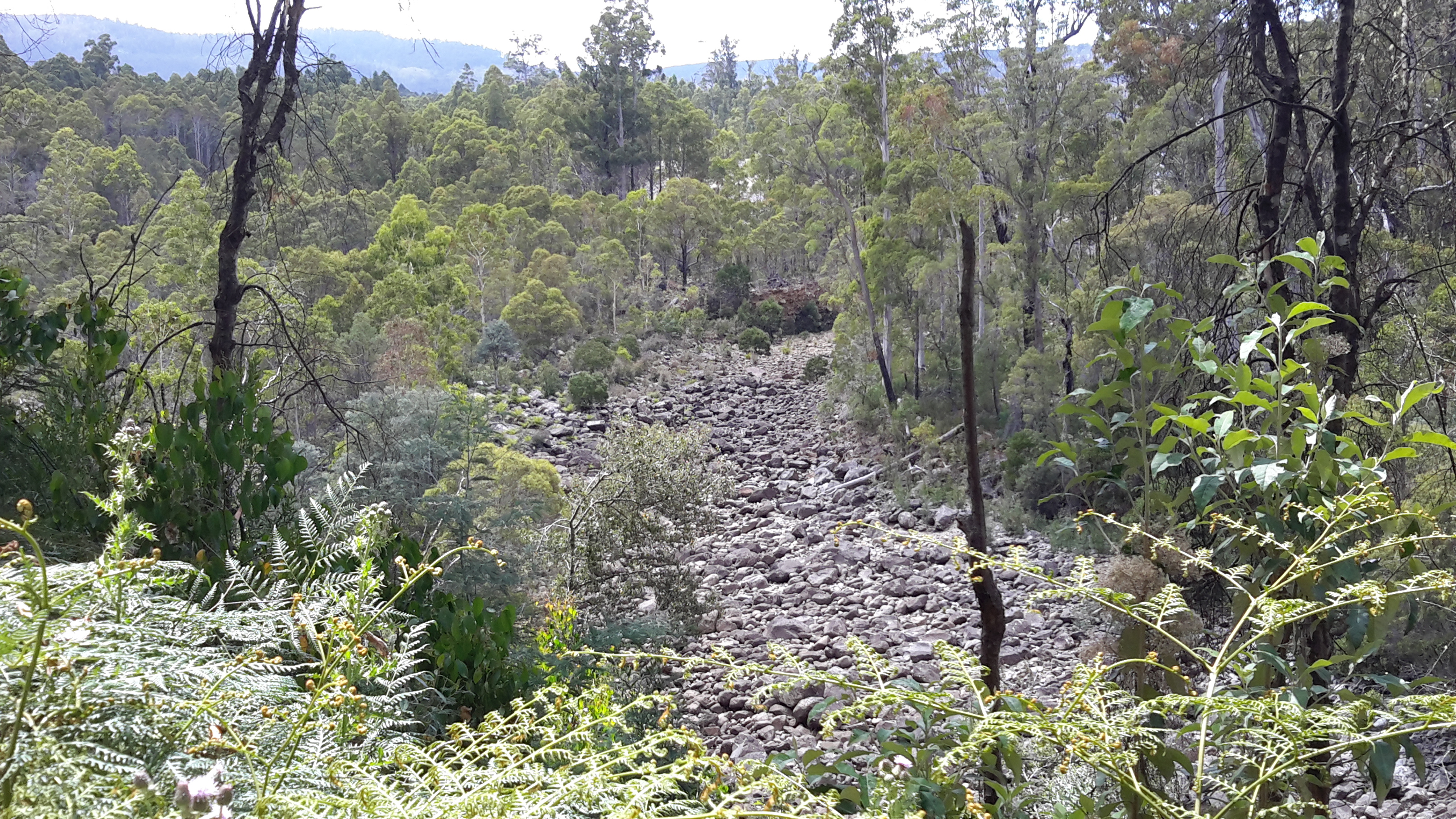
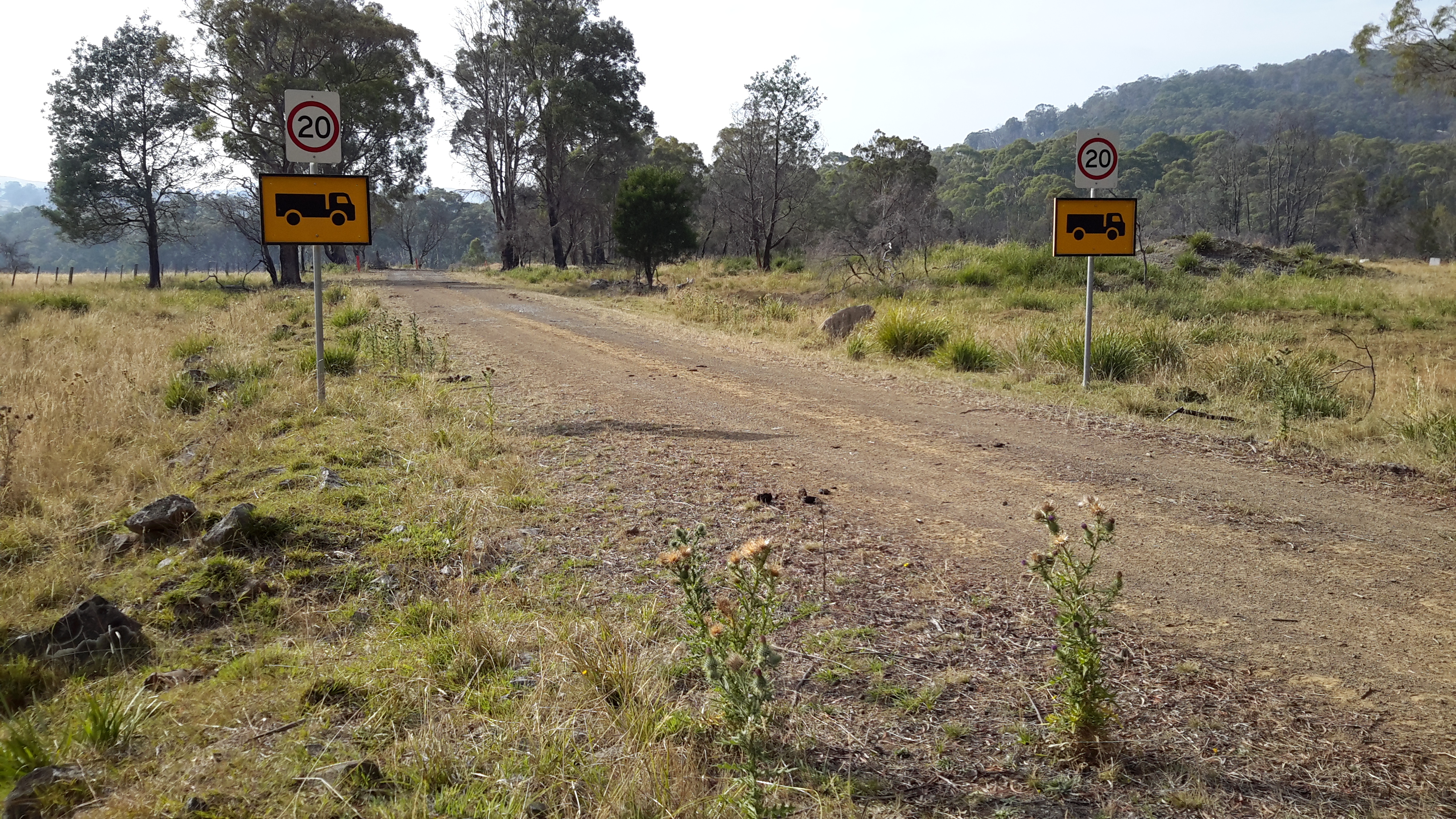
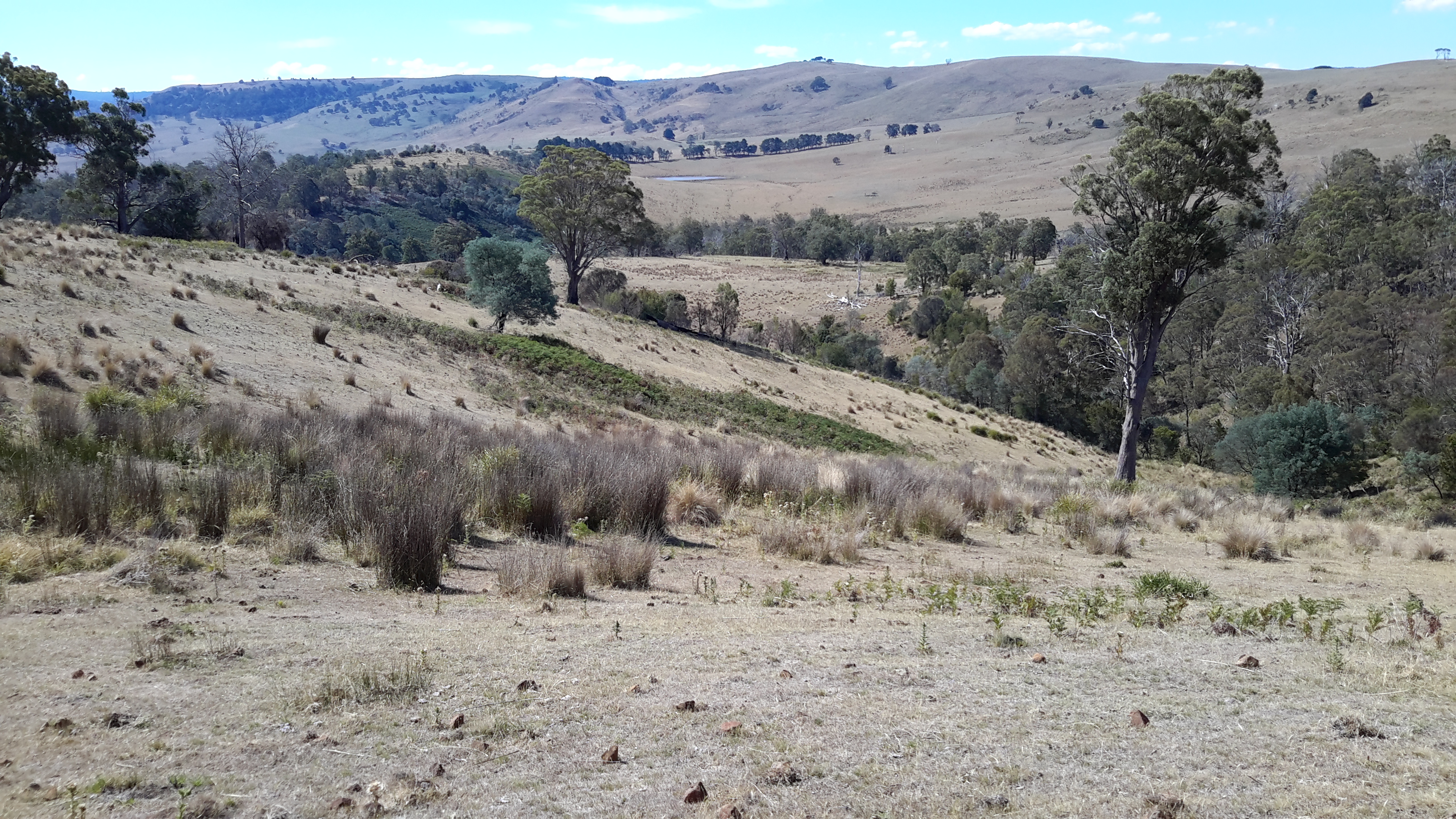
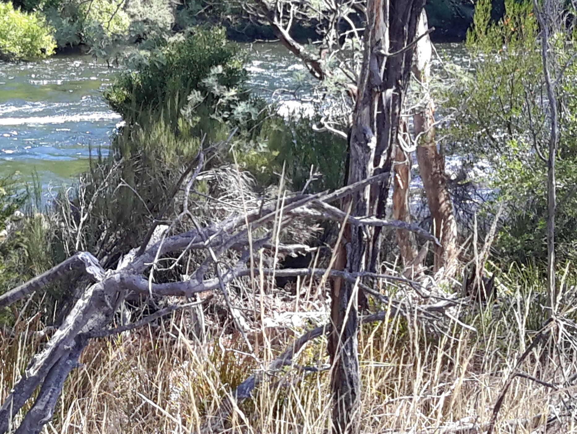
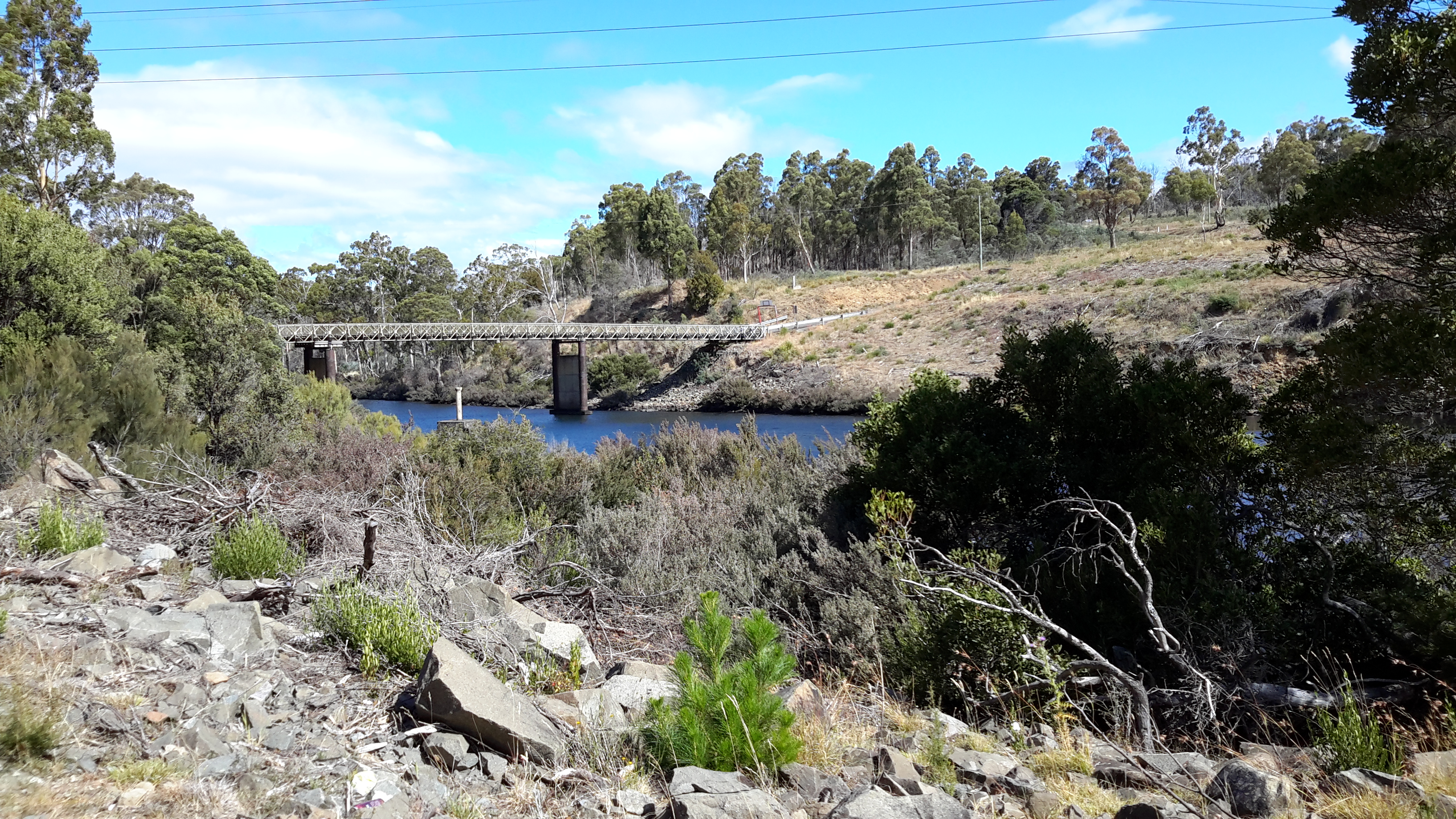
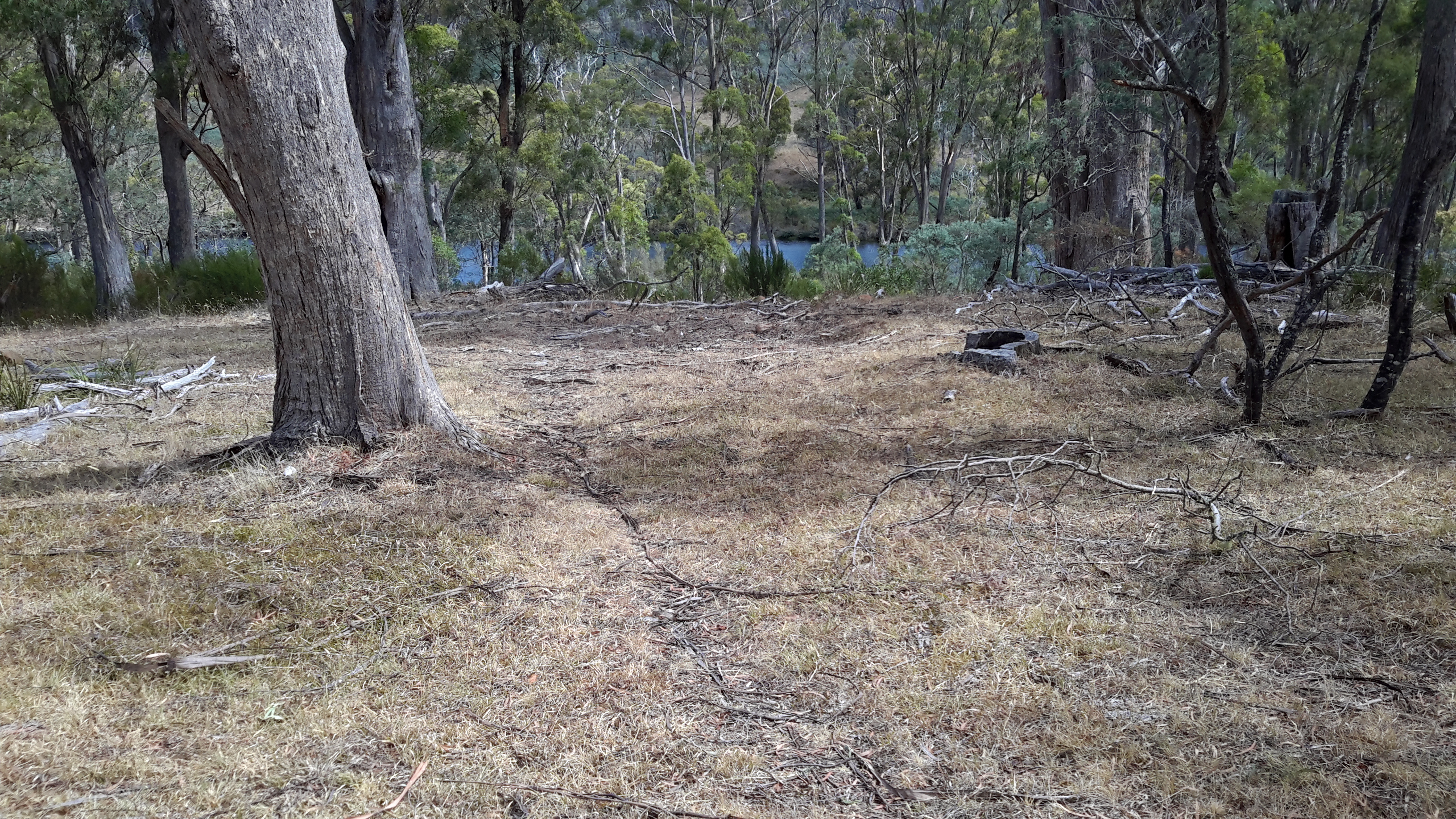
Upstream from the junction of the Florentine and Derwent Rivers, upstream from the Wayatinah Power Station, I walked on the river bed where I could.

20151029_101151.jpg

To ‘walk the Derwent’ should one follow the original river bed or the Canals or a mix of both?

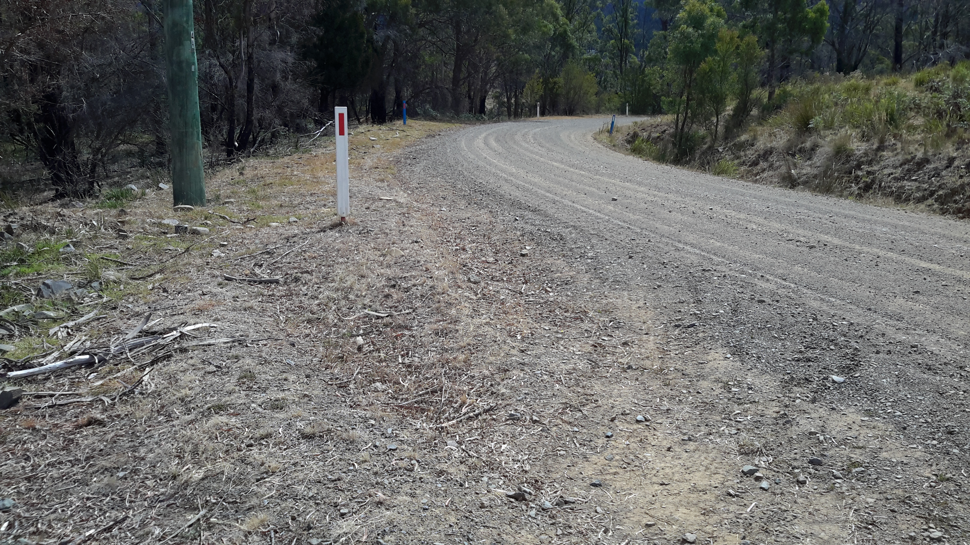
Since Tarraleah Canal number 1 runs more or less parallel to the old river bed and is usually located under 500 metres from that river bed, I chose to walk next to the Canal along the section before it turned inland to travel to Tarraleah Power Station. I rather liked the idea of staying as close to the original Derwent River course rather than following man-made deviations. However this ‘walkingthederwent’ project does raise the question as to what constitutes the ‘real’ Derwent River. Does it exist any longer? And therefore, is it possible to walk the Derwent?

Lake Repulse Dam to Catagunya Dam – posting 13 of 13

Thanks to Steve from Hydro Tasmania, I was loaned a safety hat and then, as a visitor, given a guided tour over the Catagunya Power Station. We walked down three levels of the building and by the end of the tour, because Steve used the analogy of a car engine, I understood how electricity was generated.

20160210_094604.jpg

Deep down below in the building, I was impressed by the massive scale of the spiralling pipes through which the Derwent River poured.

20160210_100106.jpg

20160210_100113.jpg

20160210_100124.jpg

20160210_100542

20160210_100545

The explanations plus what I saw were enthralling.  I am lucky to have been offered this tour and most grateful for the experience.

Later we went out into the Switchyard which amounts to an electrical substation where voltages are transformed (switched) to meet various needs.

20160210_101332.jpg

20160210_101335.jpg

Steve and I talked about the likelihood of being too close to the transmission lines and getting zapped by arcing electricity. He explained it was most dangerous when the air was laden with moisture. Water acts as an excellent conductor of electricity and therefore it is unwise to stray near power lines when it drizzles or rains.

Many posts ago I wrote about walking the Switchyard Track and at the time I wondered what ‘switchyard’ meant.  That track around Lake King William, which starts in the vicinity of the switchyard of the Butlers Gorge Power Station is, quite simply, the track leading off ‘from’ the switchyard and follows those transmission lines which started at the Power Station.

Lake Repulse Dam to Catagunya Dam – posting 12 of 13

From a distance, the grey concrete structures of Catagunya Dam made me think of Russia’s Stalinist architecture with its solid and functional masses.  Up close I found nothing pretty about the Catagunya Power Station; just a very large box at the end of a wide driveway.

20160210_092533.jpg

There was little to see looking down along its side.

20160210_093033.jpg

20160210_093031.jpg

20160210_093101

So I was delighted when two cars drove down the road towards the Station. The front door was opened and I was invited inside.

Lake Repulse Dam to Catagunya Dam – posting 11 of 13

My first touch with civilisation was a gravel road after I had crossed a challenging fence and stepped between dozens of fresh almost liquid cattle pats (but no cattle in sight).

I followed the road to the river and saw the sturdy bridge. Floods would never sweep that piece of engineering away!

20160210_090638.jpg

20160210_090650.jpg

Would you believe I did not notice the following sign denying pedestrians access until I had walked onto the bridge and then retraced my steps up the gravel road? I later wondered whether the sign meant no access down to the river – and there was none that was safe for me.  The sign was unclear.  It was definitely easy to access the bridge.

20160210_090751.jpg

The views were stupendous from the bridge: maybe one of these will become a background for your computer.

20160210_090923.jpg

20160210_090947.jpg

20160210_091017.jpg

20160210_091046.jpg

I followed the road, and dutifully kept my pace under 20km an hour.

20160210_091755.jpg


Lake Repulse Dam to Catagunya Dam – posting 10 of 13

I enjoyed the walk from my camping spot to Catagunya in the early morning.  Except, as usual, I didn’t enjoy negotiating fences.  Getting from one side to the other took time. Most were rather challenging. Frequently, I needed to unhitch my backpack, lift its 14kg weight in a clean and jerk manoeuvre and tumble it over a fence.  Then I would walk up and down the fence line until I found the easiest (never easy) place for me to crawl under the fence, climb over or squeeze through the fence.  Back to the pack, heave it onto my back, and adjust the straps.  Thankfully the paddocks were huge and I could never see all sides at the same time which means I didn’t have as many fences as one might imagine for this distance. The fences followed the curves of hills and disappeared over crests.  I only ever saw two gates.

From the smaller second dam I followed a creeklet down down down to an almost hill-less flatter space that bordered a section of Lake Repulse.

20160210_080207.jpg20160210_080333.jpg

I turned north-west and meandered up a smaller hill slope until Catagunya Dam came into view.

20160210_080810.jpg

20160210_081245.jpg

Ahead of me were extensive paddocks with sheep.

Beside me, to my left through a thick edge of trees Lake Repulse/Derwent River streamed away in a south-easterly direction.

20160210_082353.jpg

Solid thick trunked trees stood sentry near the water beside rocky outcrops which defined the River edges and stopped the expansion of vegetation.

20160210_082806.jpg

20160210_082829.jpg

20160210_082838.jpg

I looked back from where I had come; way behind all the hills you can see.

20160210_083243.jpg

20160210_083247.jpg

I looked forward to my destination.

20160210_083519.jpg

20160210_085615.jpg

I looked around about me.

20160210_083837.jpg

20160210_084949.jpg

How beautiful the country looked with its softened edges.

Lake Repulse Dam to Catagunya Dam – posting 8 of 13


When I reached the top of one of many hills, the heat of the day was intense and weariness forced me to stop.  I ate a little lunch. Sipped a little water. Thought about its reducing quantity. Lay down in the shade. And fell asleep.

Increasingly, I was acknowledging my water situation could become serious.

At the start of my walks I carry two one-litre bladders (Think 2kgs of weight).  By the early afternoon I estimated this quantity might not be sufficient: I realised that the hot weather, the energy required to navigate my way around contours and up and down hills, the need to have water to cook with, clean the teeth, and continue on, were likely to deplete my supplies. If I didn’t find water to replenish my resources I could be in trouble.

As it turned out, the first creek with the brown running water was the only source of water that I might have drunk, if pushed.  Later creeks trickled sluggishly and pools sat with green slime and algae.  Obviously no rain had flushed these creeks in ages.

By late afternoon I decided to head inland to a man-made dam of water clearly marked on the map; I was walking away from the River but I needed water and this seemed the only sensible solution.  I walked up and down more serious hills until the dam was in view (can you spot the dam in the first photo?).

20160209_160529.jpg

20160209_172246.jpg

After walking for around seven hours, this nameless dam was a huge disappointment.  The water edges were pudgy with cattle trampings so that the mud oozed up around my walking boots and threatened to suck them off my feet. And the low level of water left in the dam was a thick brown mix. Unreachable and undrinkable.

That night, I didn’t cook because water would have been required. Instead I finished eating my lunch for dinner.  Again at breakfast I ate food which did not require rehydration. At no time did I brush my teeth, although I would have loved to. Keeping water to sip was more important than niceties.

Next morning I walked for two hours to reach the Catagunya complex.  No creeks ran with clean water on the way.  Cliffs and rocky edges made the water of Lake Repulse inaccessible.  I thought that the bridge over the Derwent River at Catagunya might allow me to drop down and brush my teeth, but again – no access. Impossible.

20160210_090929.jpg

Thankfully when I arrived at the Catagunya Power Station, a couple of work cars pulled up.  Inside I was able to refill my water containers and brush my teeth.  Thanks Hydro Tasmania.

I have written before about the challenges of walking and worrying about water. The irony is that the Derwent River is a mighty liquid machine, the water of which can be seen – but mostly it cannot be touched. If a person wasn’t able to keep walking, and didn’t have a Personal Locator Beacon, it would be easy to die of thirst in this remote part of Tasmania in the summer.

In the local news

Recently our local newspaper The Mercury published a Letter to the Editor from a woman who wants the Derwent River to become a World Heritage Site.  I imagine long term readers of my blog will come immediately to a similar opinion to mine.  I think the ‘horse has bolted’: the river is no longer running freely and its edges are no longer clothed in pristine original bush, both features which I feel sure an application for World Heritage status would need.  So I sent off a response to that letter. Thanks Mary for alerting me to its publication.

My photograph below blurs my words – they read: Joanne Marsh (Letter to Ed 12/2/16), when she argues for the Derwent River to become a World Heritage Site, does not know the Derwent River well. During my ‘walkingthederwent’ project from the mouth near the Iron Pot to the source near Lake St Clair, I have seen both sides of our River. Very little original forest and environment remains. Where the edges of the River have not been built on by private owners or businesses, shaped by local government into parkland, or cleared for cattle or sheep to graze or to grow crops, the land is covered with plantation forests. Upstream, the Derwent River has been re-engineered with dams, lakes and lagoons. The birds still sing along the Derwent River, but very little of its edges has World Heritage significance. Perhaps that is the shame of the situation.

20160216_142600.jpg

A more recent letter writer believes the Derwent River is of World Heritage value based on the view that esteemed French and English explorers, prior to European settlement, named the River.  I will be interested to see if future letters are published on this theme.

Walking across farmland – posting 2 of 2

The land was parched and massive equipment used water pumped from the Derwent River to spray irrigate crops and keep the red earth moist.

20160121_124905.jpg

Pump station.jpg

The day was exceptionally hot so, when I approached the expansive circulating spray of water on one farm, I was strongly tempted to stand and be drenched. However I decided not to drown my precious tablet that I use to take photos.  Instead I continued onwards – hot and bothered.

Before long, I entered through a side fence into a large paddock with a herd of cattle grazing in a far distance corner. They looked up. They watched me.  Curious.  I headed back down the fence line towards the water’s edge.  When I checked behind me I noted some were now beginning to amble in my direction.

Cattle.jpg

From experience I find there are two types of cattle – those who know people and associate people with extra food, and those who roam comparatively wildly and seldom see people.  The former want to check you out and the latter run away even when they see you 100 metres or more away.  I prefer the cattle who head off elsewhere to find their food. A large herd of cattle coming for me gives me no comfort even though I love the look of their soft eyes and noses and lips. I know they will not deliberately hurt me but I have images of their tonnes of weight accidentally standing on my feet, and I don’t like the foreseeable consequences.

I continued walking, reached the River and kept moving forward along the edge.  I noted that all the cows were coming now and closing the distance. I could not see the ‘protection’ of the ends of the paddock and its fences.  I was hot and getting hotter despite keeping up the fluids.  As I approached a point offering wonderfully easy access to the River, I thought about jumping in or at least loading my hat with water to cool down.

Where the cattle drink

But I looked around, realised the cattle were so close that I could eyeball the advance party, and knew I had to keep walking.  When I looked down at the ground I could see every vintage of cow pats all around.  It came to me. This was the cows drinking point.  With luck they would be thirsty and forget about me.

I continued on, and true to my expectations, most headed down to the River for a drink. Other stood and looked at me uncertain whether to follow or refresh themselves.  The few that followed slowed their progress to nibble on grass – that long walk had sapped their energy!

Walking across farmland – posting 1 of 2

From past as yet undescribed walks, I have a large backlog of information and photographs to write into posts and publish. It is my priority to grab snatches of time to write.

Tasmania has been marked by many plus 30 degree days over the past couple of months, and it was on one of those days that I walked next to the flow of the Derwent River across a couple of private farms in the area between Cluny Dam and Gretna. In earlier posts I have declared that my ideal walking temperature is between 15 and 20 degrees and while I dreaded walking in the searing dry heat, I feel compelled to walk when drivers offer their services to get me to the starting point and collect me at the end. Thanks Alex for being available and helping me achieve my goal.

As usual I will not identify the location of my walks between Gretna and Cluny Dam, so that I meet the commitment I make to the landowners to maintain their privacy.  As usual I have a couple of hundred glorious photos and unfortunately I cannot publish most because they will identify the properties on which I walked.  Nevertheless there are some stories to tell and they are not without colour and texture.  Despite the constraints, I will do my best.

On this particular day, the air was bright and clear and the forests beckoned.  When I start a walk, I always wear a smile on my face.

Starting the walk.jpg

The first gate was easily passable.

20160121_113816.jpg

Later I found other gates less accommodating. One makes me smile as I remember, although the gate put me in a spot of difficulty at the time.  I recall the surrounding fences were not climbable and the gate was padlocked. Unfortunately the gate was high (and I have comparatively short legs) and the wire mesh offered no easy toe-hold.  Nevertheless I had no choice but to get over that gate. Somehow I managed to get astride the top, and with the gate moving on its hinges, I sat pressed on the upper iron bar in a most unstable and uncomfortable position.  Because of the movement of the gate I couldn’t get my balance to swing my leg over easily.  No-one around.  No-one expected.  Just me.  On the top of the gate.  Hot sun searing my brains.  I think a cartoonist could have made an amusing image of this circumstance.  Eventually I tried a sort of falling-off-the gate-manoeuvre, caught a strap of my gaiters in the wire mesh and nearly yanked a leg off, and then stepped onto the ground. Relieved. Glad to be on the other side. Obstacles can always be overcome! Of course, the best gates are those that I find open.

Open gate.jpg

Once through the forest, I walked across low level dry vegetation which cracked and crackled as my boots crossed the ground.

Dry vegetation starting out.jpg

Throughout this particular walk the Derwent River always flowed nearby. Once more I fell in love with its colours and movement.  Yet again, I fell in love with the trees and grasses that grow beside the River.

River excerpt.jpg

20160121_121631.jpg

20160121_121939.jpg

20160121_122128.jpg

20160121_123309.jpg


Meadowbank Lake is a gem


Meadowbank Lake is the closest to Hobart of the six large dammed water masses along the Derwent River. It is also the easiest to access via a bitumen road (Dawson’s Road) that exits from the Lyell Highway between the towns of Hamilton and Ouse.  I have now passed this area many times and strongly recommend it for a picnic or a flying visit.

The views from the eastern/northern side

20151029_161708.jpg

20151029_161758.jpg

20151029_161748.jpg

20151029_161743

The views from the middle of the bridge/causeway

20160115_140356.jpg

20160115_140304.jpg

20160115_140223.jpg

20160115_140317.jpg

The views from the western/southern side

20160121_143135.jpg

20160121_143342.jpg

20160121_143337.jpg

20160121_143333.jpg

20160121_143335.jpg


Lake Repulse Dam and the wooden bridge

I knew I was near the end of the walk when I sighted the concrete top of Lake Repulse Dam.

20160124_155833.jpg

20160124_155838.jpg

I continued walking until the single-lane bridge over the Derwent River came into view.

20160124_160348.jpg

20160124_160405.jpg

20160124_160450.jpg

I expected little traffic in this area so I walked onto the bridge for a good look down towards Cluny Lagoon and then upstream towards the Dam wall and the water being disgorged at its base.

20160124_160548.jpg

20160124_160531.jpg

20160124_161038.jpg

20160124_161143.jpg

Future postings will contain the detail and show photos of my walk through the bush along the top right of the dam wall as I headed inland around Lake Repulse Dam towards Catagunya Dam.

20160124_160617.jpg

20160124_161146.jpg

20160124_160650.jpg

When I was standing close to the dam wall, I was able to look back to the wooden bridge.

20160124_161155.jpg

I felt privileged to see this wooden bridge which must be one of the few left around Tasmania.  I imagine that in not too many years’ time, a ‘modern’ metal one will replace it. Meanwhile this sturdy piece of engineering is a very attractive find located not so far from the Lyell Highway.

Closing in on the Lake Repulse Dam

As I closed in on the western end of Cluny Lagoon and the Lake Repulse Dam, I was able to walk lower down nearer the water.  Sometimes a strip of vegetation made accessing water a challenge, whereas in other places, anglers had made their own access paths.

20160124_153616

20160124_153650

20160124_154257

20160124_154359

20160124_154510

20160124_154526

20160124_154543

For the last few hundred metres to Lake Repulse Dam, it was easier to walk on the gravelled surface of Lake Repulse Dam Road than to push my way through the bush on the steep uneven river bank.

20160124_155245

20160124_155440

Panoramic views

I continued walking up and down the cleared land of the undulating landscape forever keeping as close to the Cluny Lagoon as practicable.

20160124_144524.jpg

And occasionally I deviated away from the river to capture the panorama.

20160124_144817.jpg

20160124_145834.jpg

20160124_150404.jpg

In addition, I felt compelled to take photos of the towers and wires which remind me that the water of the Derwent River is being used to generate electricity.  Cluny Lagoon exists to keep us electrified.

20160124_144952.jpg

20160124_145044.jpg


Feather

I took a couple of photos of a feather as I walked beside Cluny Lagoon. However, because of the large length and with my eyes squinting against the pervasive sunlight, I missed seeing that the entire feather was not within the photo frame.

20160124_143531.jpg

This was a very very large feather.  You can see the front of my walking boot next to the feather. I placed my heel at the quill end of the feather so you can get an idea of the length of the feather.

20160124_143545.jpg

So – which type of bird lost a feather?  My first reaction is that the feather will be from an endangered Tasmanian Wedged Tail Eagle.  Is there a blog follower who can identify this feather?

Trees framing Cluny Lagoon

I loved the handsome native eucalyptus trees providing windows to the water.

20160124_143105.jpg

20160124_143108

20160124_143809.jpg

20160124_143525.jpg