Category Archives: Walking

The colours of Cluny Lagoon

Apart from a boat trailing a skier motoring up and down the Lagoon, the water was ruffled only by occasional breezes.  Despite the occasional rain the afternoon was comfortably warm, and so the Lagoon looked inviting.  But I walked on.

20160124_142502.jpg

20160124_143302Depending on the light, the Lagoon sometimes glistened blue or sat as a plane of gun metal grey.

20160124_143048.jpg 20160124_142704.jpg

20160124_142923.jpg

20160124_143249.jpg

At other times, the water seemed almost to be a shade of green for a tonal blend with the landscape.

20160124_143053.jpg

20160124_143258.jpg


Cow tracks

A mesh of cow tracks can be followed along the edge of the Cluny Lagoon. Some indicate that locals walk these tracks from time to time but most were faint and optional.

20160124_143820

20160124_142344

20160124_142508.jpg

20160124_144413.jpg

Where the cliffs or banks fell straight into the water, the only choice was to walk on their tops.

20160124_142459.jpg

20160124_142701.jpg

20160124_143805.jpg

20160124_144530


Reaching the water of Cluny Lagoon

20160124_141759.jpg

20160124_141802.jpg

20160124_141833.jpg

20160124_141804.jpg

20160124_142136.jpg

20160124_142107.jpg

20160124_142149.jpg

Where the stony cliffs or steep banks did not drop deeply into the Lagoon, the low water level exposed muddy flats.

20160124_142203.jpg

Cluny Dam

On an earlier reconnaissance trip I approached the Cluny Dam. The photos show both sides of the Dam.

20151029_160115.jpg

20160121_115750.jpg

20160121_115752.jpg

On my ‘gap’ walk, I headed down the hill from the Hydro Tasmania locked gate, and enjoyed watching the Cluny Lagoon sweeping around a curved piece of land below.

20160124_140855.jpg

I followed the road and vehicular tracks for a way and generally wandered around the Cluny Lagoon/Dam area.

20160124_140901.jpg

20160124_141333

Then I headed to the water upstream of Cluny Dam, ready to walk along the banks.

20160124_141336


Cluny Dam, Cluny Lagoon and Lake Repulse Dam

Walking between the two dams is an easy stroll offering dramatic vistas as the Derwent River twists and turns its way through Cluny Lagoon. You can expect to read a series of posts about this little walk – which filled one of the gaps in my trek from the mouth to the source of the Derwent River.

Chantale’s aerial photos below show Cluny Dam, Lake Repulse Dam and then some of the water rushing towards Cluny Lagoon.

IMG_3895Cluny dam.JPG

IMG_3893Repulse Dam.JPG

IMG_3894.JPG

Michelle’s photo shows some of Cluny Lagoon snaking in a fat shape behind the Dam, and then closer to Lake Repulse Dam.

PA280086Cluny dam and lagoon.JPG

OLYMPUS DIGITAL CAMERA

OLYMPUS DIGITAL CAMERA

My photos below show Cluny Lagoon backed up onto Cluny Dam, and the Derwent River let run from Lake Repulse Dam and heading towards Cluny Lagoon.

20151028_114827.jpg20151028_114858.jpg


The Derwent River near Wayatinah town ship

20160115_130309BBridge over Derwent at Wayatinah.jpg

20160115_130344 Derwent.jpg

20160115_130425 Derwent

20160115_130353 Derwent

20160115_130451.jpg

Salmon hatchery at Wayatinah on the Derwent

Next to the bridge over the Derwent River on Wayatinah Road, an Atlantic Salmon hatchery owned by Salmon Enterprises of Tasmania Pty Ltd trades as Saltas.

According to the Tasmanian Salmon Growers Association the business was established in 1985 ‘after a report to the Tasmanian Fisheries Development Authority concluded that a salmon farming industry could be successfully developed in Tasmania. As a result, in 1984 fertilised Atlantic salmon eggs were purchased from the Gaden Hatchery (Thredbo River, Jindabyne, New South Wales, Australia), which were from stock originally imported in the 1960s from Nova Scotia, Canada. A sea farm was established at Dover in the south of Tasmania and a hatchery was developed at Wayatinah in the central highlands.’

Innotech Controls claims Saltas is ‘Australia’s largest producer of Tasmanian Atlantic Salmon smolt, supplying over 3.5 million smolt each year to the Salmon farm industry.’  Their website provides details about water temperature management using the water of the Derwent River and Wayatinah Lagoon. ‘At Wayatinah, the water used by the SALTAS hatchery is gravity fed from the River Derwent. During the hot summer months, when river flow is greatly reduced, the water temperature can rise by as much as 10 °C in an 8 hour period. Water temperature in excess of 23 °C can be fatal to the fish stock. Located 1km from the hatchery is Wayatinah Lagoon, a man-made lake that forms part of the State’s Hydro Electric scheme. Research showed that at a depth of 6 metres, the water temperature was consistently between 9 and 17 °C. A project was undertaken to utilise water from the lagoon for temperature control at the hatchery and to provide additional water in times of low flow in the River Derwent. The water temperature is monitored at the hatchery where it is maintained at 16 °C +/- 1 by staging the water pumps at the lagoon.’

A thesis by Anna Do offers ‘SALTAS currently operates two hatcheries: Wayatinah hatchery on the Derwent River and the nearby Florentine hatchery‘. When I walked on the north/eastern side of the river upstream from the Wayatinah Power Station last year I could not identify the buildings near the confluence of the Florentine with the Derwent River. Now I understand that I was looking at the second hatchery.  In this thesis on page 8, an aerial photo of the Wayatinah hatchery shows the Derwent River with considerably more water flowing that exists today. Refer to my photos of a stony river bed earlier in this post.

More tall trees

I found the colours and textures of the tree bark along part of the Florentine Road very attracting.

20160115_125735.jpg

20160115_125755.jpg

20160115_130239.jpg


The Derwent River flows over a rocky bed

20160115_123543.jpg

As I walked closer to Wayatinah, two ‘runways’ for the water became clear.

One extended from the Wayatinah Lagoon Dam wall and this was dry. I was glad that last year I had walked around the Lagoon Dam wall and understood how the wide spill-over channel was configured, otherwise seeing the massive dry rocky bed below would not have made sense.

20160115_124455.jpg

20160115_124552.jpg

Then, at a point, I could see the Wayatinah Lagoon in the middle distance.

20160115_124742.jpg

20160115_124812.jpg

The other ‘runway’ came from I knew not where and this was the strand which had water flowing along it. To the left of the dry rocky bed the River ran – and I can see it in the photos below.

20160115_124653.jpg

20160115_124835.jpg

20160115_124859.jpg

By the time I reached the spot where I took the preceding photograph, it was clear that another dam wall was raised at right angles to the one shown in front of the Lagoon earlier in this post.  I imagined that water was being released from the Lagoon at this wall to create the flow.

Further walking released more of that dam wall to view.

20160115_124934.jpg

20160115_124954.jpgAnd down below, the Derwent River chuckled along.

20160115_124913.jpg

Streams feed the Derwent River

As dry as the landscape is, from time to time a tiny creek would cross under the Florentine Road making its way downhill to add to the Derwent River’s water flows.  Around these creeks or water seepages, a profusion of vegetation flourished.

20160115_115400.jpg

20160115_121310

20160115_121330

Native tree ferns, which need moisture, grew nearby.  Some tree ferns were tall indicating a great age.

20160115_124356.jpg

Changes to the Florentine landscape

The tall straight native trees on the upside of Florentine Road were majestic and commanding.  In many ways these were ‘the finds’ of the day as I walked towards the bridge over the Derwent near the township of Wayatinah.

20160115_115001.jpg

20160115_115005.jpg

20160115_124408.jpg

But elsewhere on the upside of the road were the marks of degradation of the original native vegetation for forestry purposes.  Acres of land across so many hills have been cleared. It was not a pretty sight.

20160115_113111 Left turn to houses and buildings near Derwent Florentine junction.jpg

20160115_113246.jpg

20160115_113252.jpg

20160115_113838.jpg

Road signs alert motorists to expect great log trucks on this road – from experience they do not drive slowly and take up much of the road because they do not expect to see other vehicles. So caution and care is important.  Motorists also need to be watchful in case one of the remaining trees should fall across the road unexpectedly.  After drenching rains, the hold of the root systems of trees into the ground can be weakened. If windy weather follows, then trees may topple.

20160115_125812.jpg

Back to the Florentine River

Last year I wrote (The Florentine River flows into the Derwent Riverabout my walk from the Wayatinah Power Station westwards along the north/ eastern side of the Derwent River until I passed the point where the Florentine River entered opposite.  To cover the total distance from the Power Station to the Derwent River near the town ship of Wayatinah, more recently I walked on the south/western side of the Derwent River along the Florentine Road from near the Florentine River.  This short and easy walk, took me mostly uphill on a good gravel road, and allowed me to look down on the running Derwent.  Not a soul on the road, just the sound of birds and gushing water.

20160115_113122.jpg

Thanks to Deb, I was chauffeured to the Florentine River which meant I didn’t need to retrace my steps on that walk. That Florentine River is quite lively.

20160115_112146Florentine river.jpg

20160115_112155 Florentine River.jpg

Soon after leaving the Florentine, a thicket of bush fills the space between the road and the Derwent River.

20160115_113644.jpg

20160115_114026.jpg

As I walked I could see the river below. However now, in the photographs, the colour of the water and the shape of the river rocks blend with the vegetation colours so that I find it almost impossible to identify the water.  But trust me it’s there in the photos below.

20160115_114937.jpg

20160115_114945.jpg


Writing up the ‘gaps’ in my walk along the Derwent River

20160104_090210.jpg

The photo shows water entering the Derwent Basin from Lake St Clair.

Despite my excitement when I reached the source of the Derwent River, I recognised there were some kilometres not yet walked or which had not had their stories told in posts on this blog.  Despite earlier misgivings and qualms about walking some edges of the Derwent River, I renewed my commitment to complete 100% of the length from the mouth to the source, and to create a blog which tells the complete story.  My future posts detail those ‘gap’ walks to the extent that I can, considering the confidentiality requirements of some landowners.

For blog followers who recently linked to my site for the first time, you may not be aware that in the earlier stages of this ‘Walking the Derwent’ project, my walks were sequential.  That is, where I finished a walk I started the next walk. However, once I reached the town of Gretna, from then on as I walked inland, my walks occurred out of sequence depending on the weather, access to the land, and a driver to take me to the start of a walk or collect me from the end of a walk.  I imagine for most of my blog readers it has been difficult in the past months to understand to understand how far away from Hobart or from Lake St Clair each walk has been.  Once I have finished writing all the walk posts, I propose to create one post which describes the River in terms of moving from one end to the other sequentially.  Hopefully this will clear up any confusions or uncertainties.

The ‘Painted’ Eucalypt tree

I passed this magnificent gum tree as I retraced my steps from the Derwent Basin back to the town ship of Derwent Bridge.

20160104_084157.jpg

Resting and reflection

I had nowhere else to be so I sat on the track edge at the Derwent Basin weir and mused.  And when I realised telephone reception existed in this part of the wilderness, I texted and phoned people.  I could go no further.

The day was cool but mild, and the water gentle and clear.  Joy. Profound happiness.  A deeply moving experience. And I was grateful.

20160104_091127.jpg

20160104_091207.jpg

20160104_093148


20160104_093159.jpg


The track to the Derwent Basin

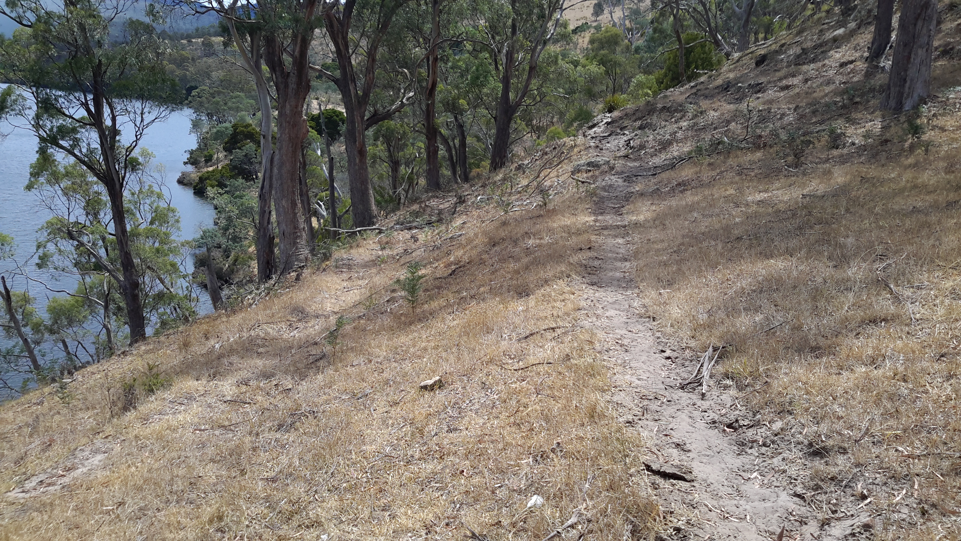
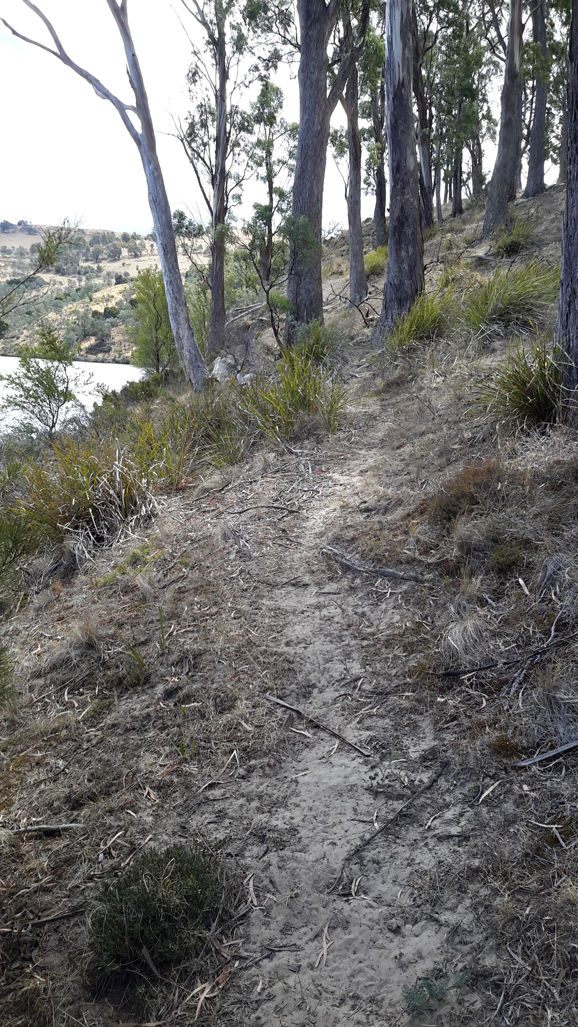
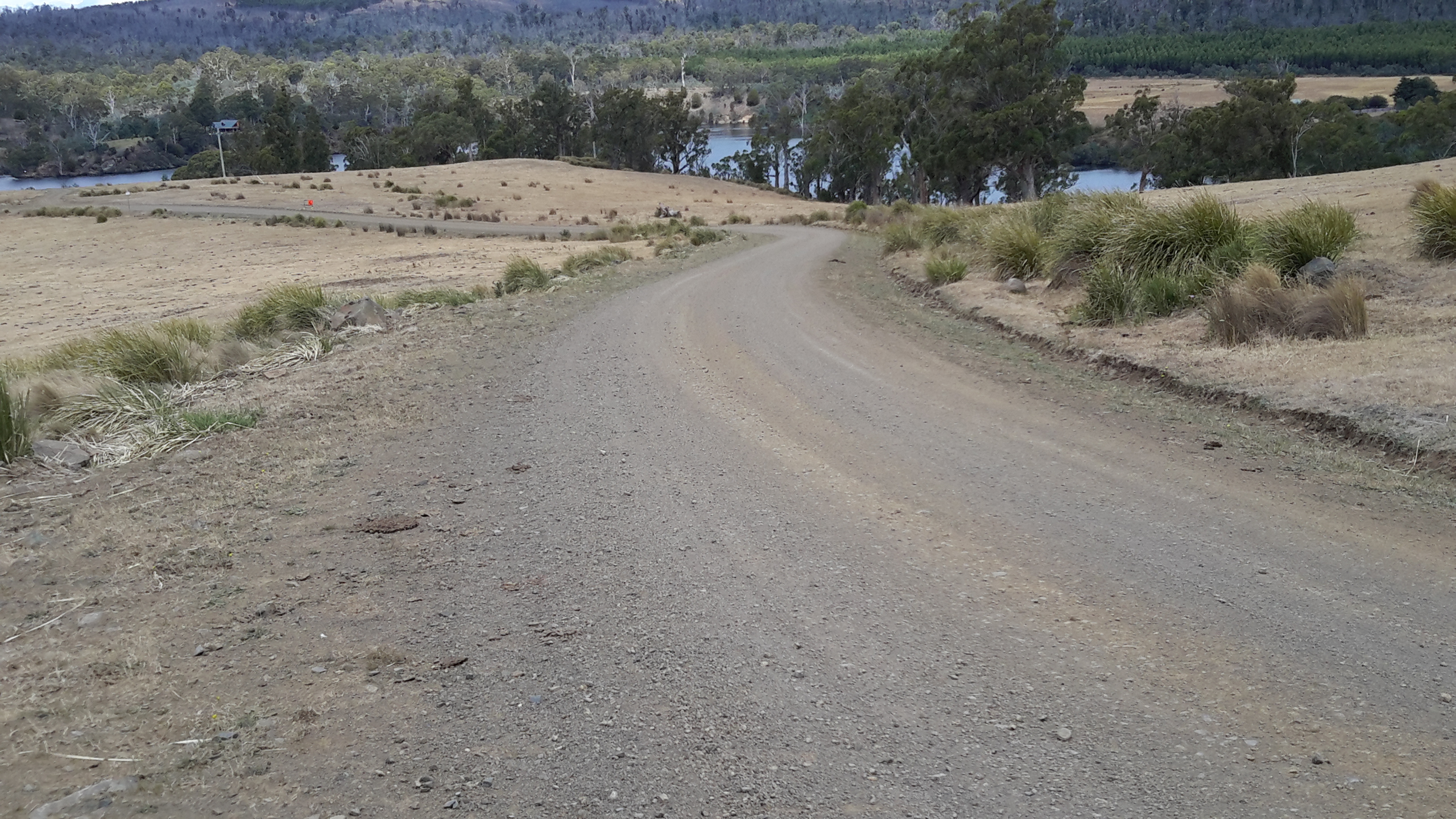
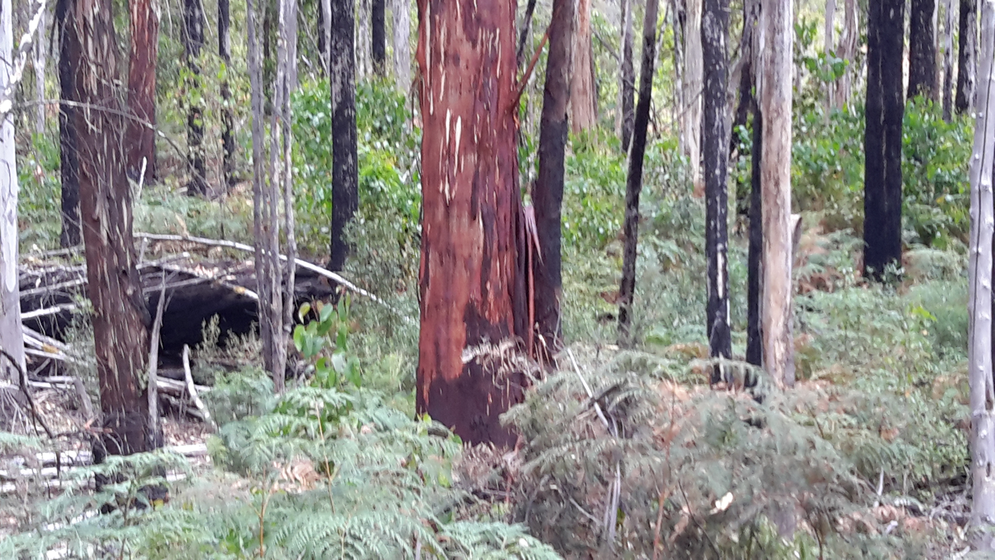
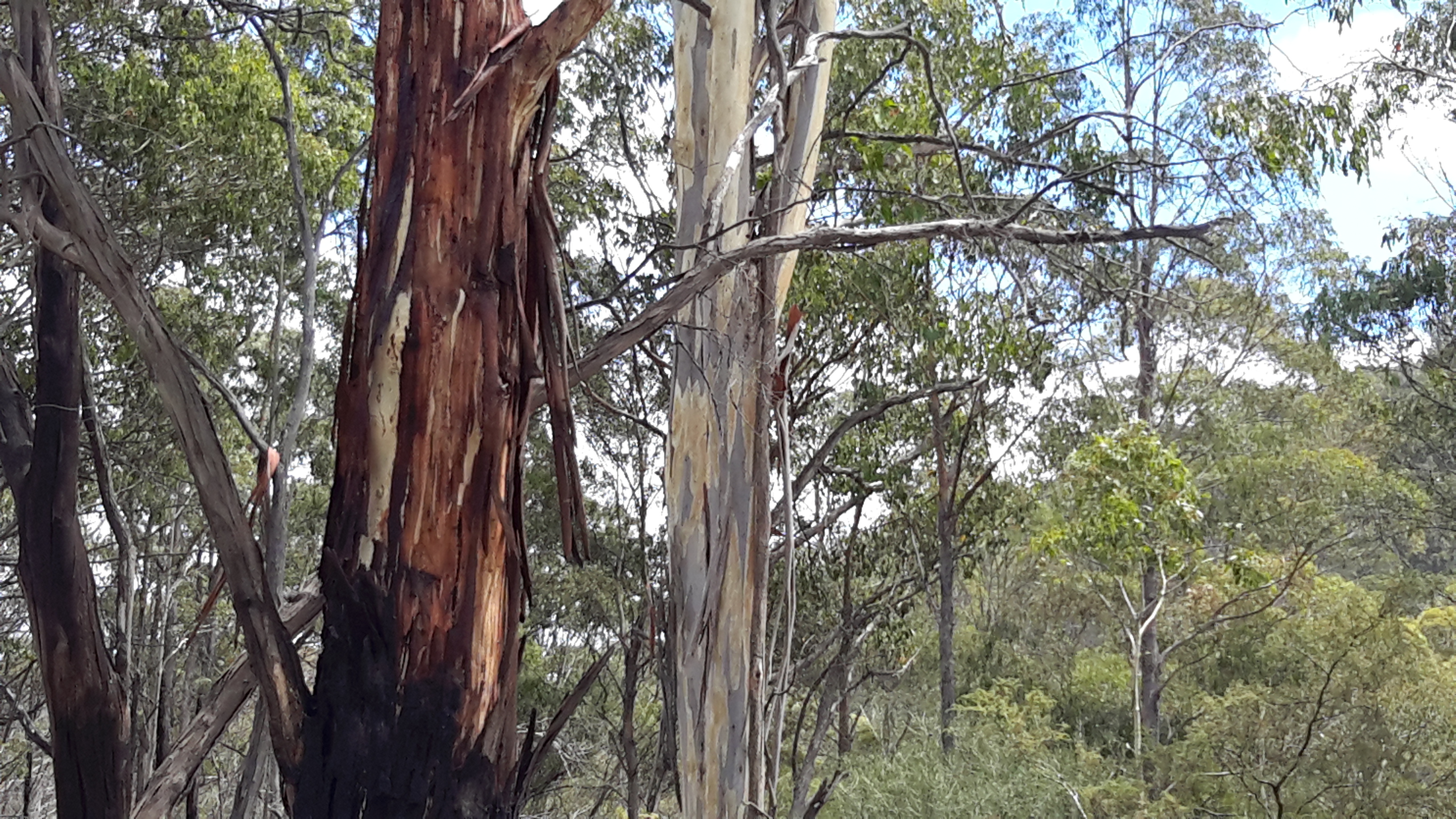
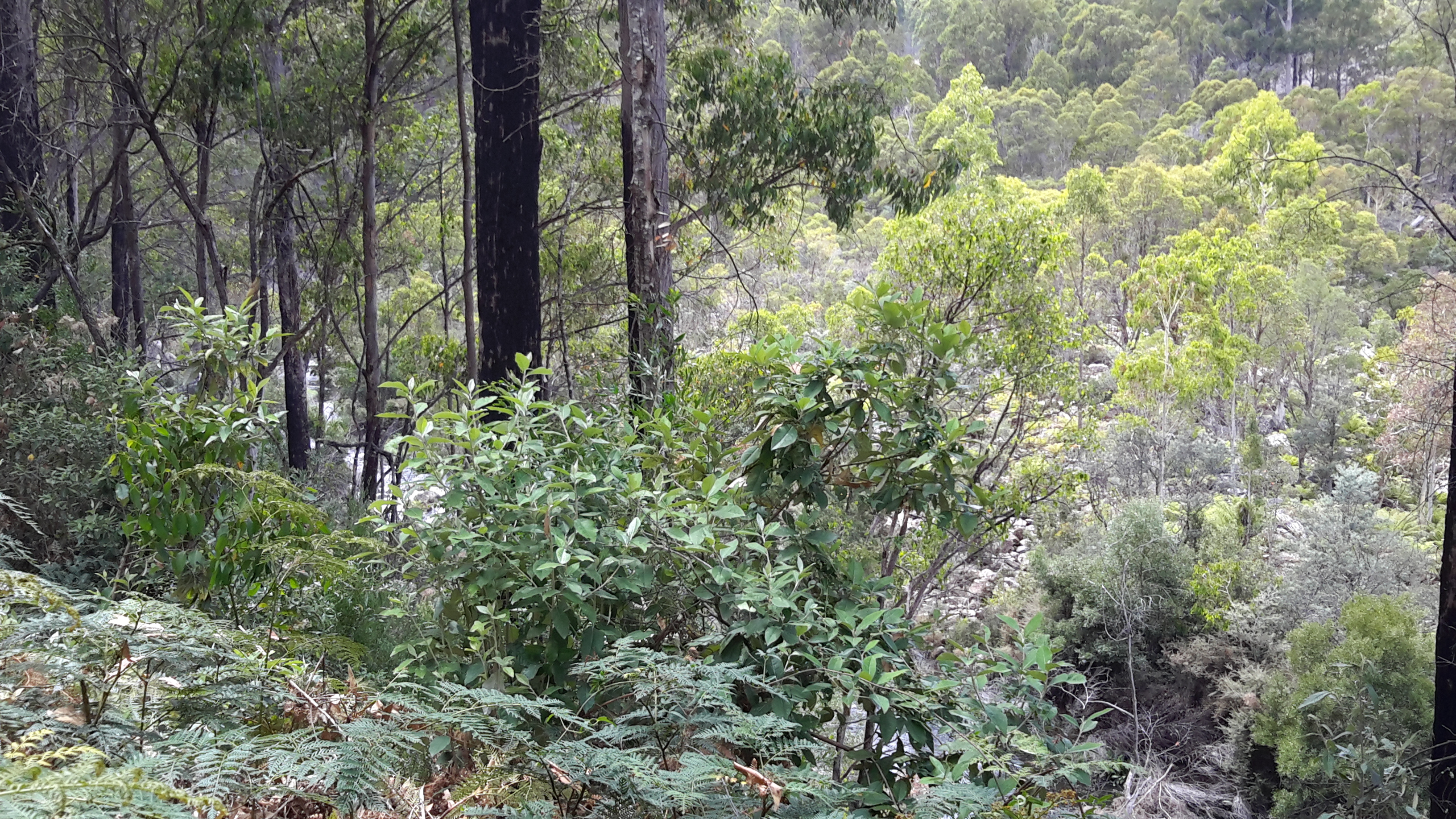
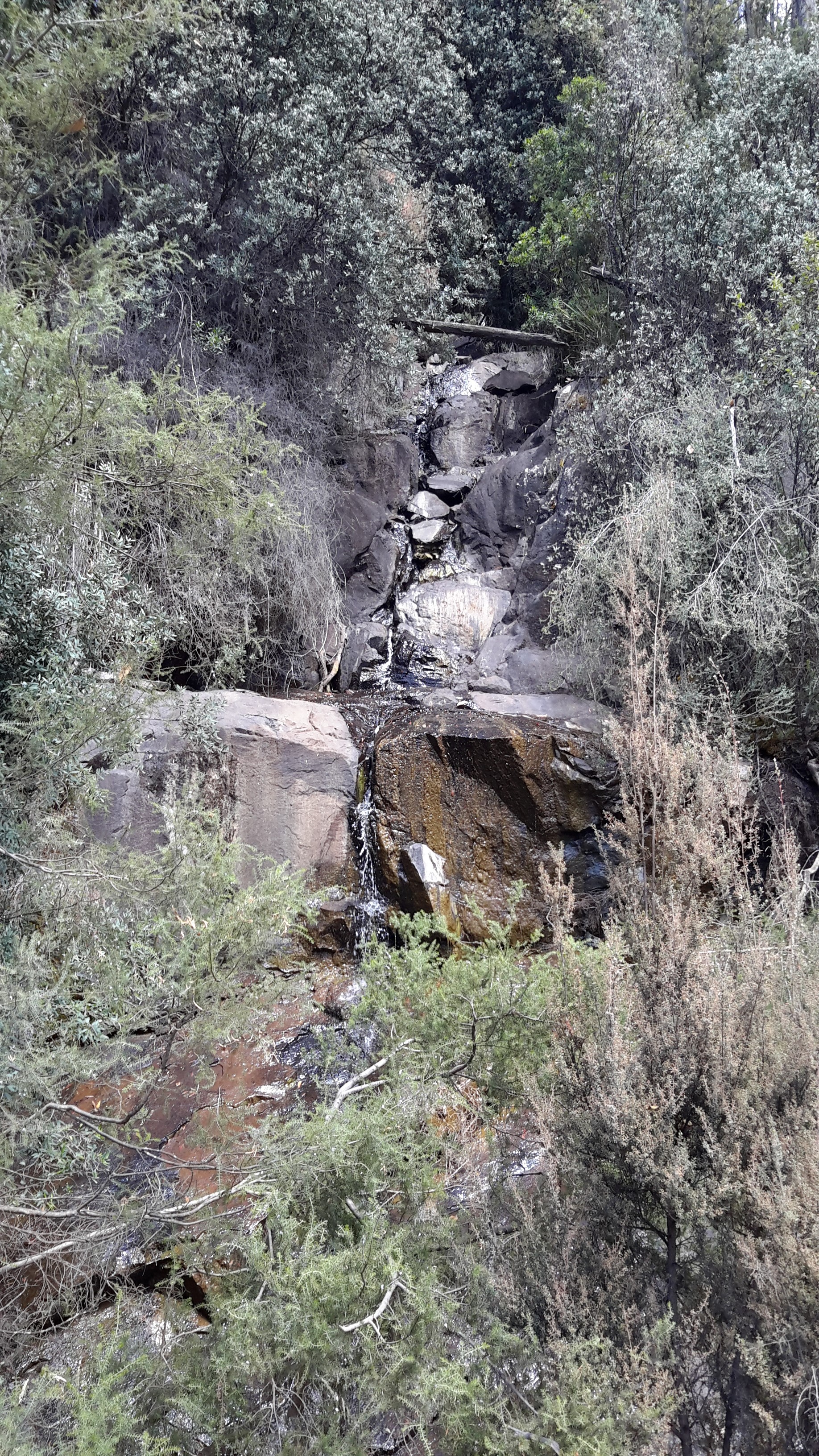
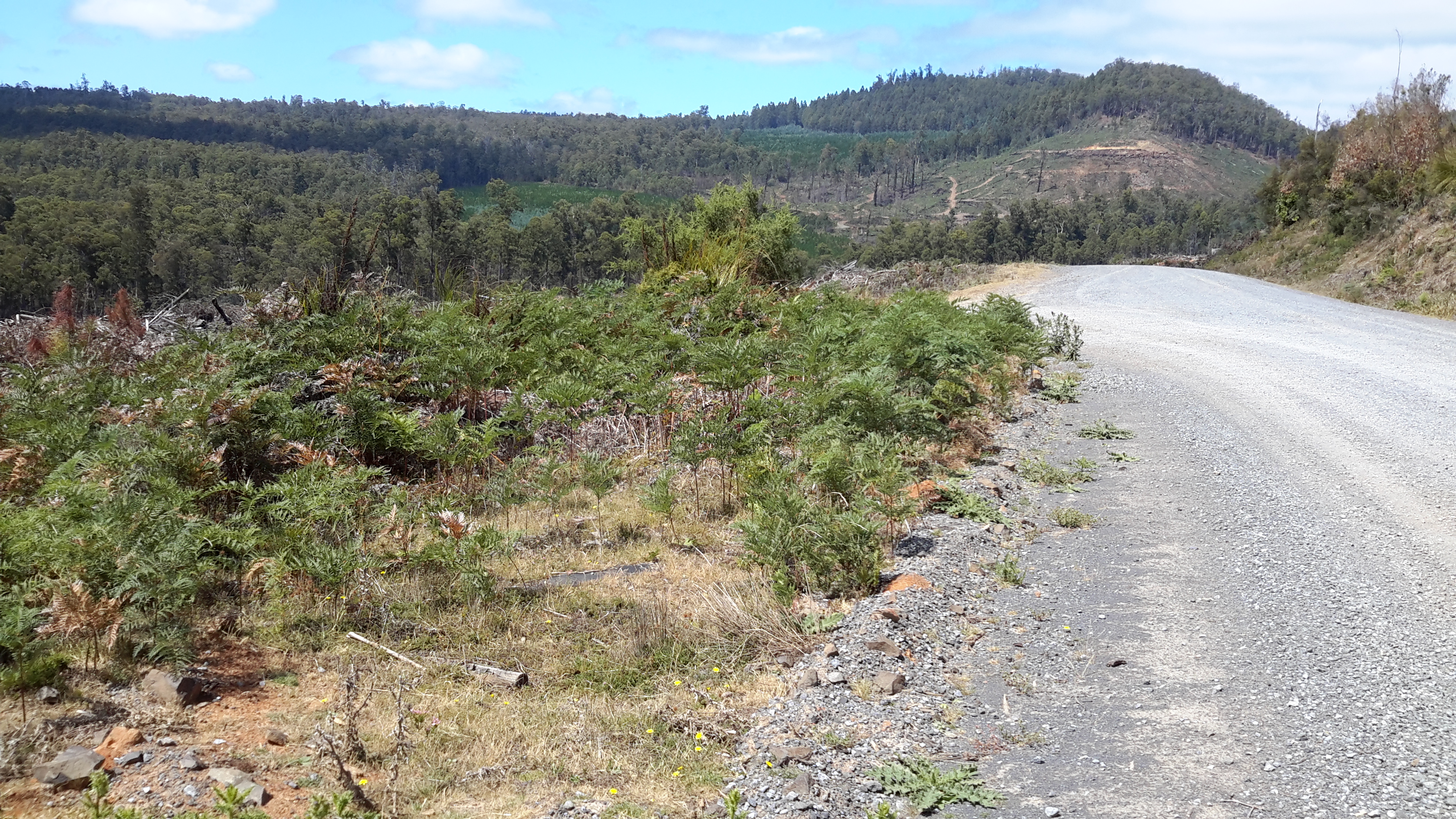
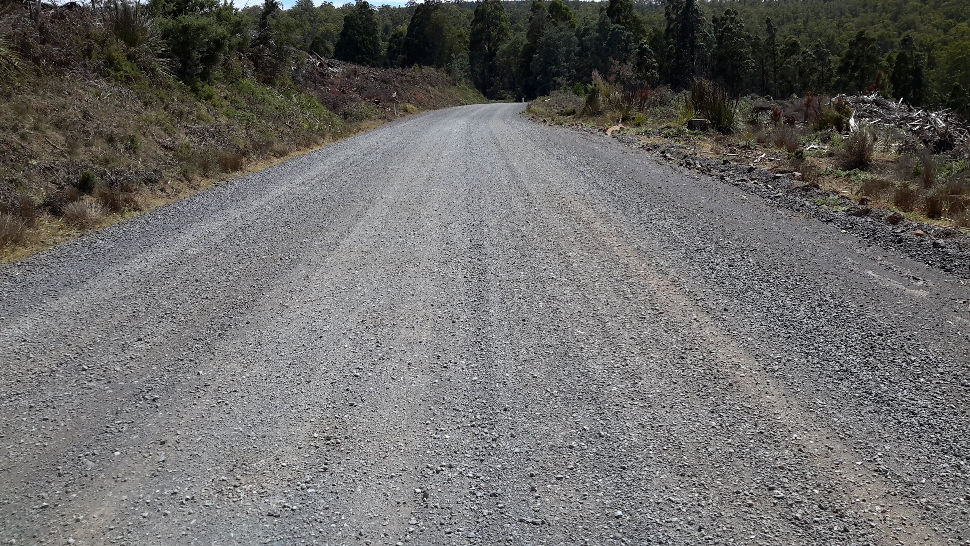
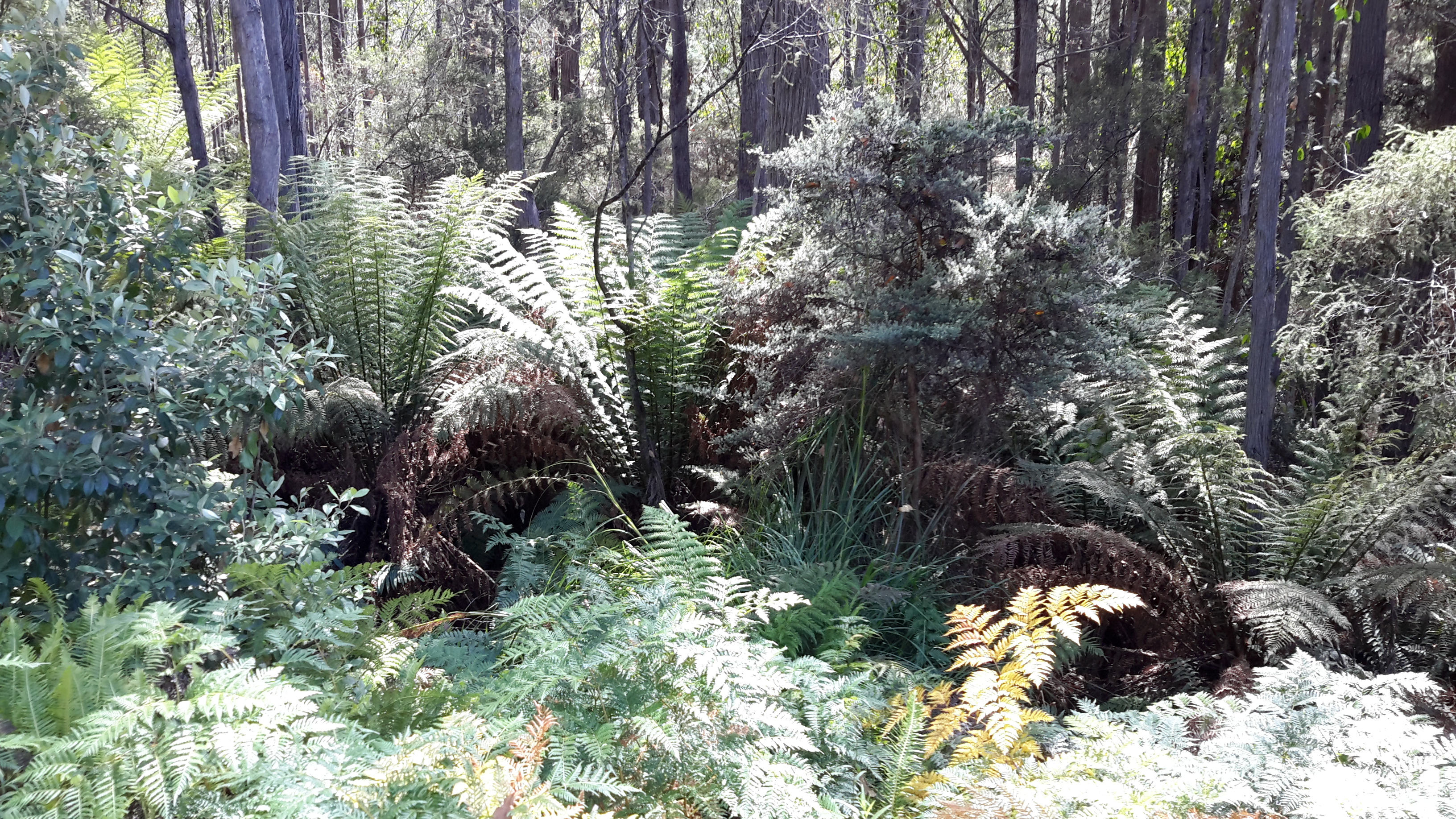
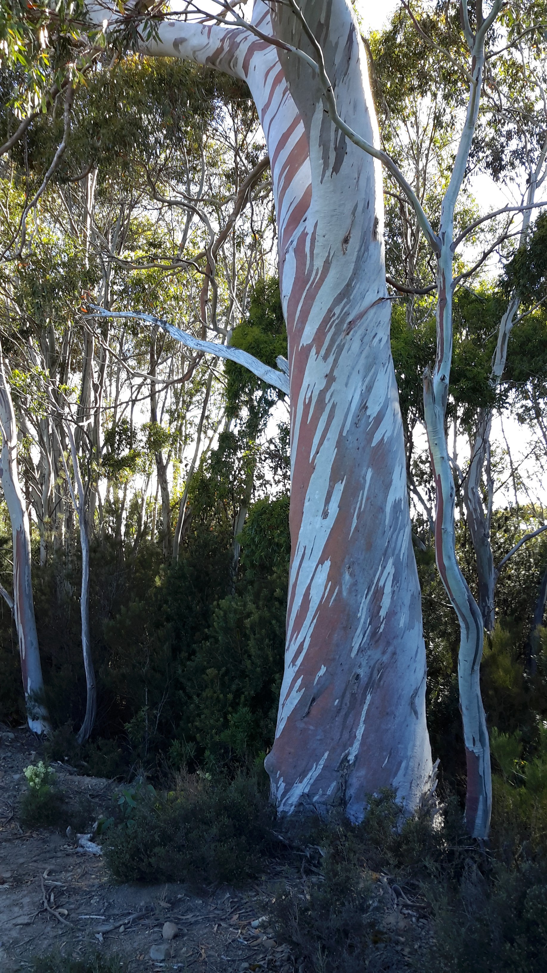
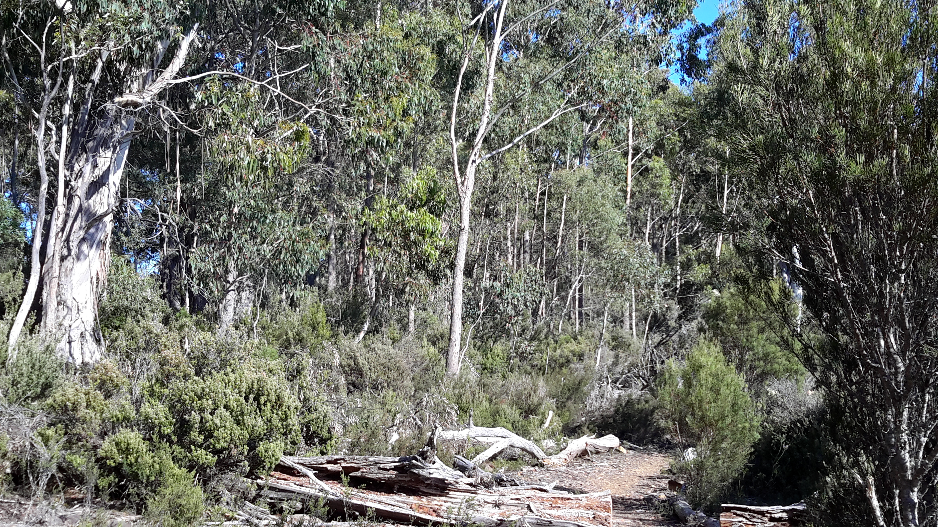
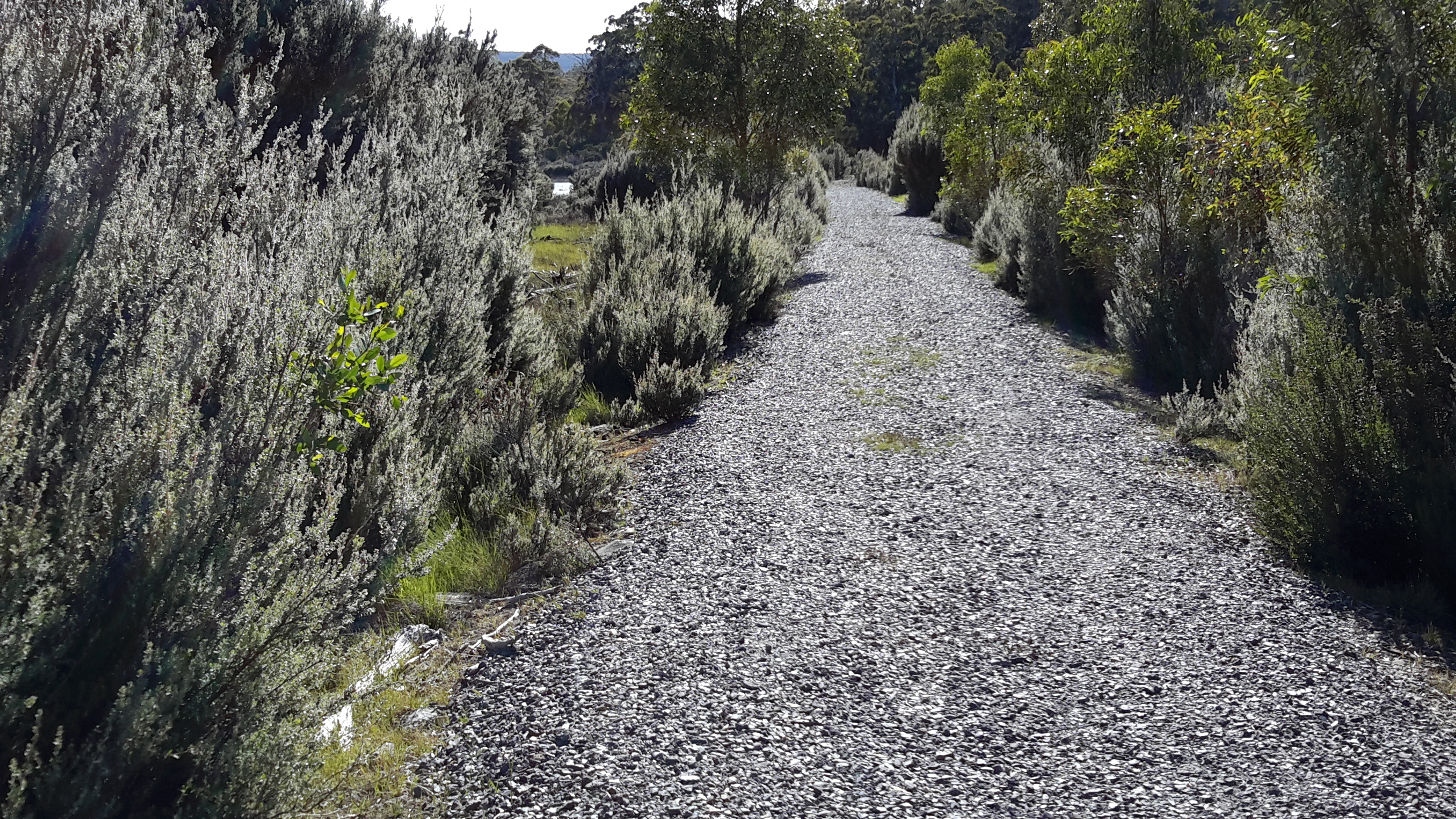
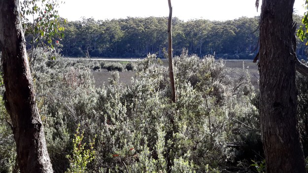
I and the floating threads of spider web strands were the only occupants of the sometimes wider and sometimes narrower track from the Pumphouse Point locked gate onwards to the Derwent Basin.  The twists and turns of the tiny track made sure I had new vegetation and bush character to look at, on every moment of the walk.

20160104_084951.jpg

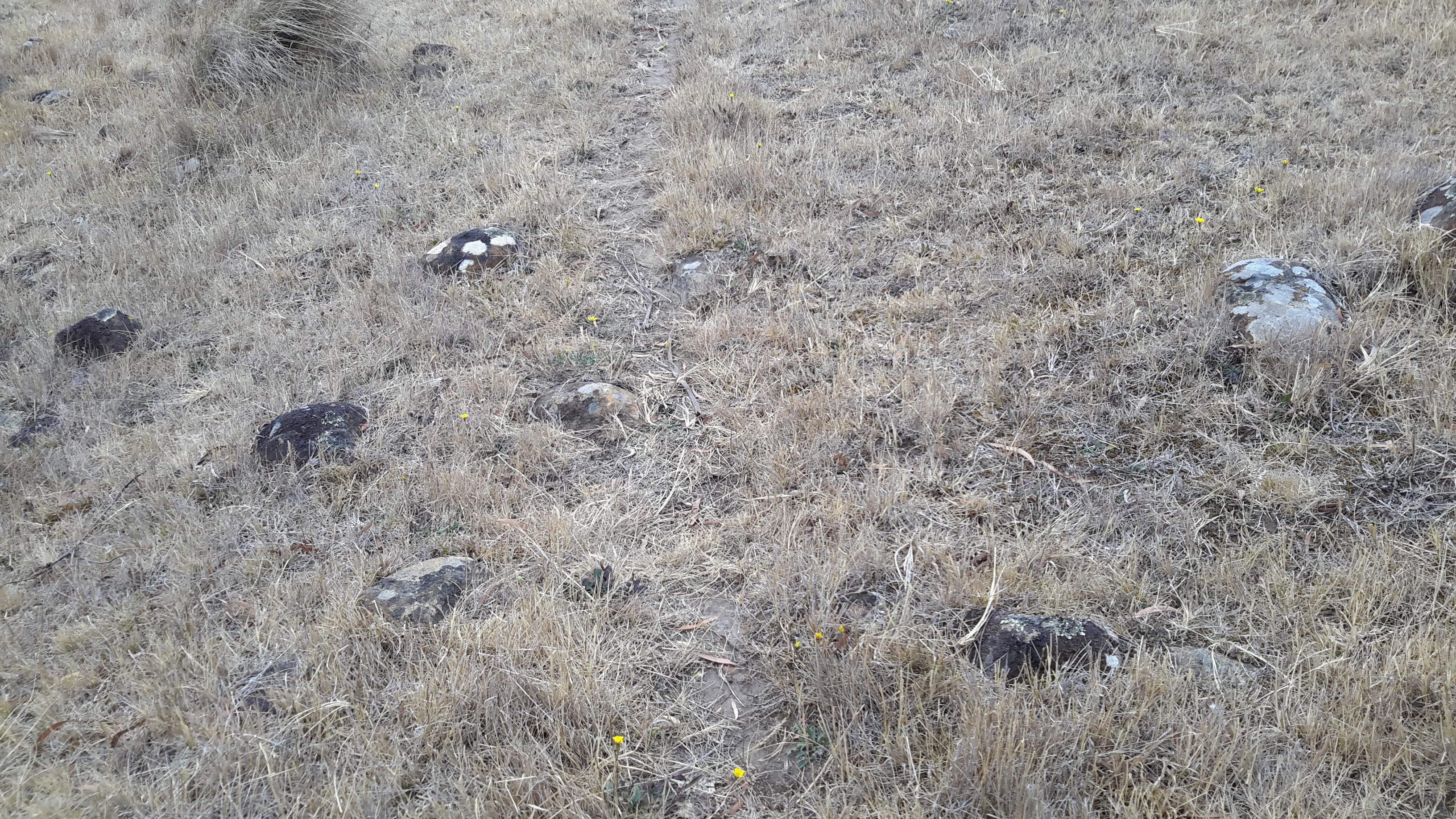
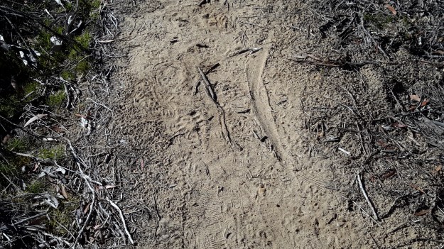
Native animals had passed along the path leaving evidence of their progress.  For example, the dragging of a small kangaroo tail is shown below.

20160104_084709.jpg

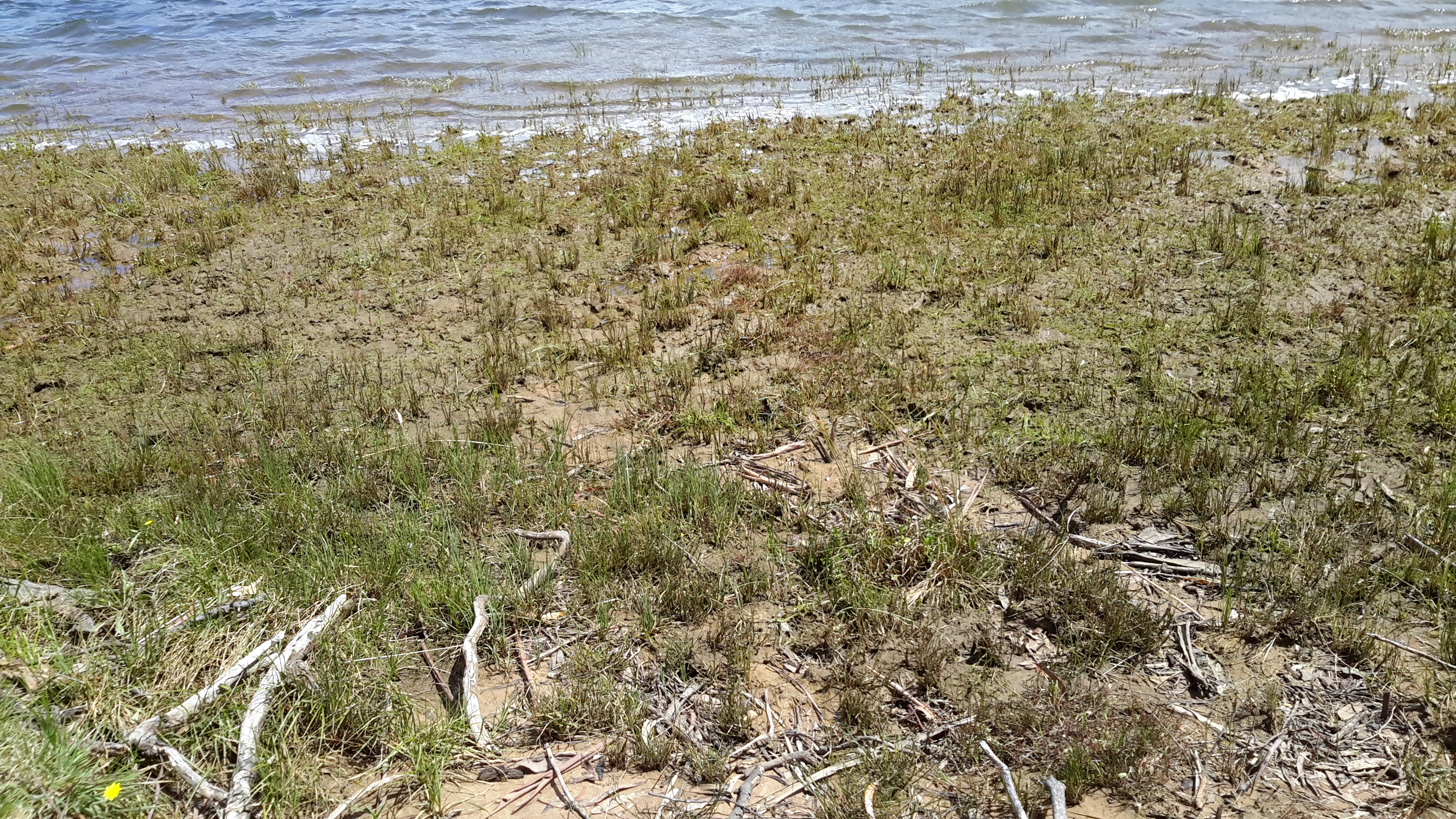
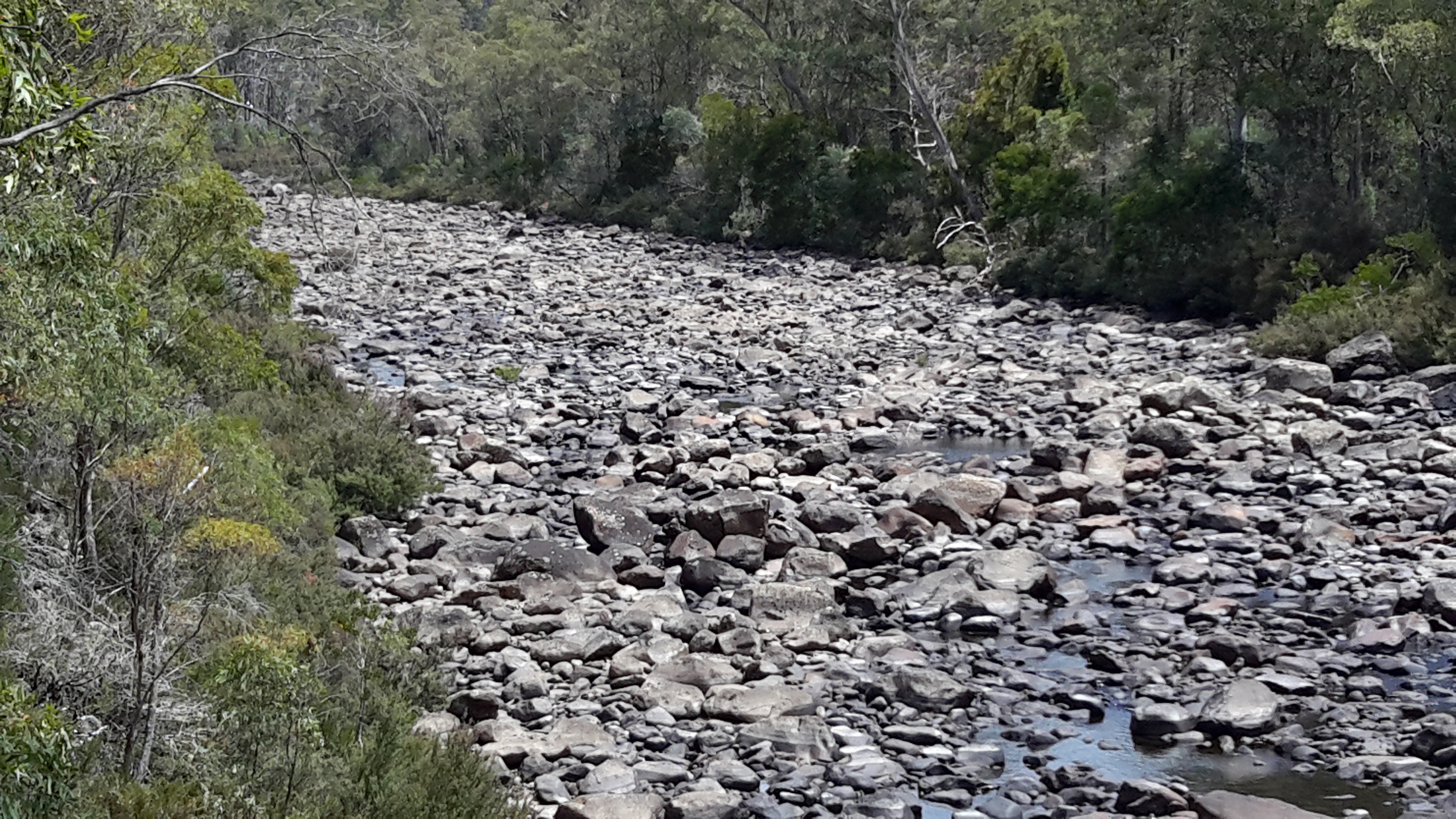
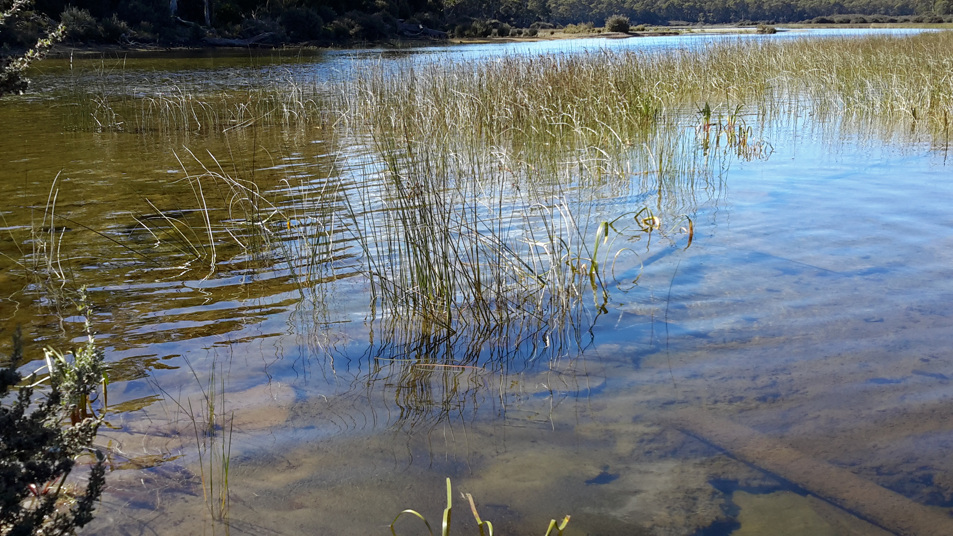
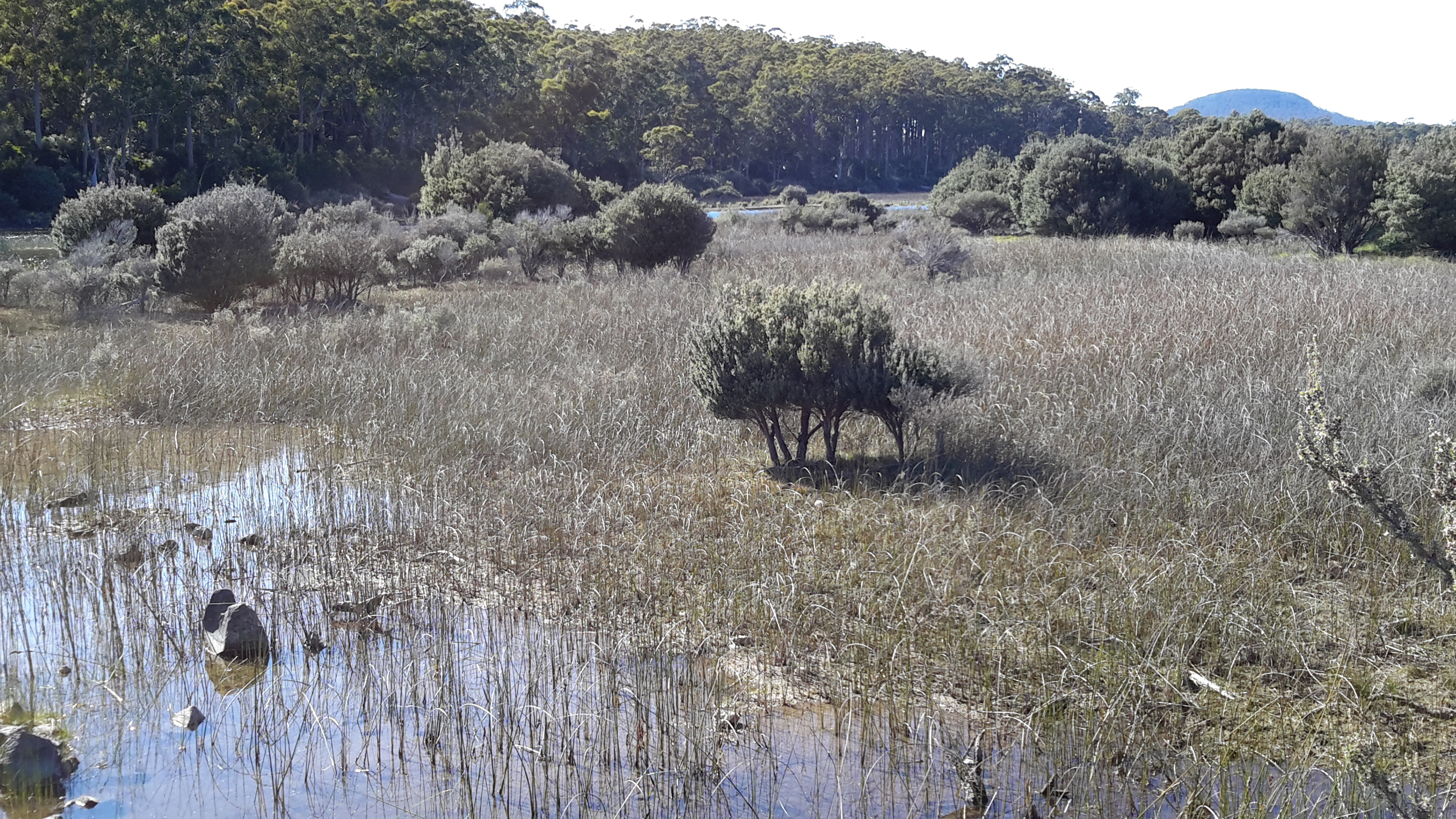
Between this track and the clear water of St Clair Lagoon, reedy wetlands extended large distances, so much so, that seeing the water was impossible.

20160104_084943.jpg

20160104_085321.jpg

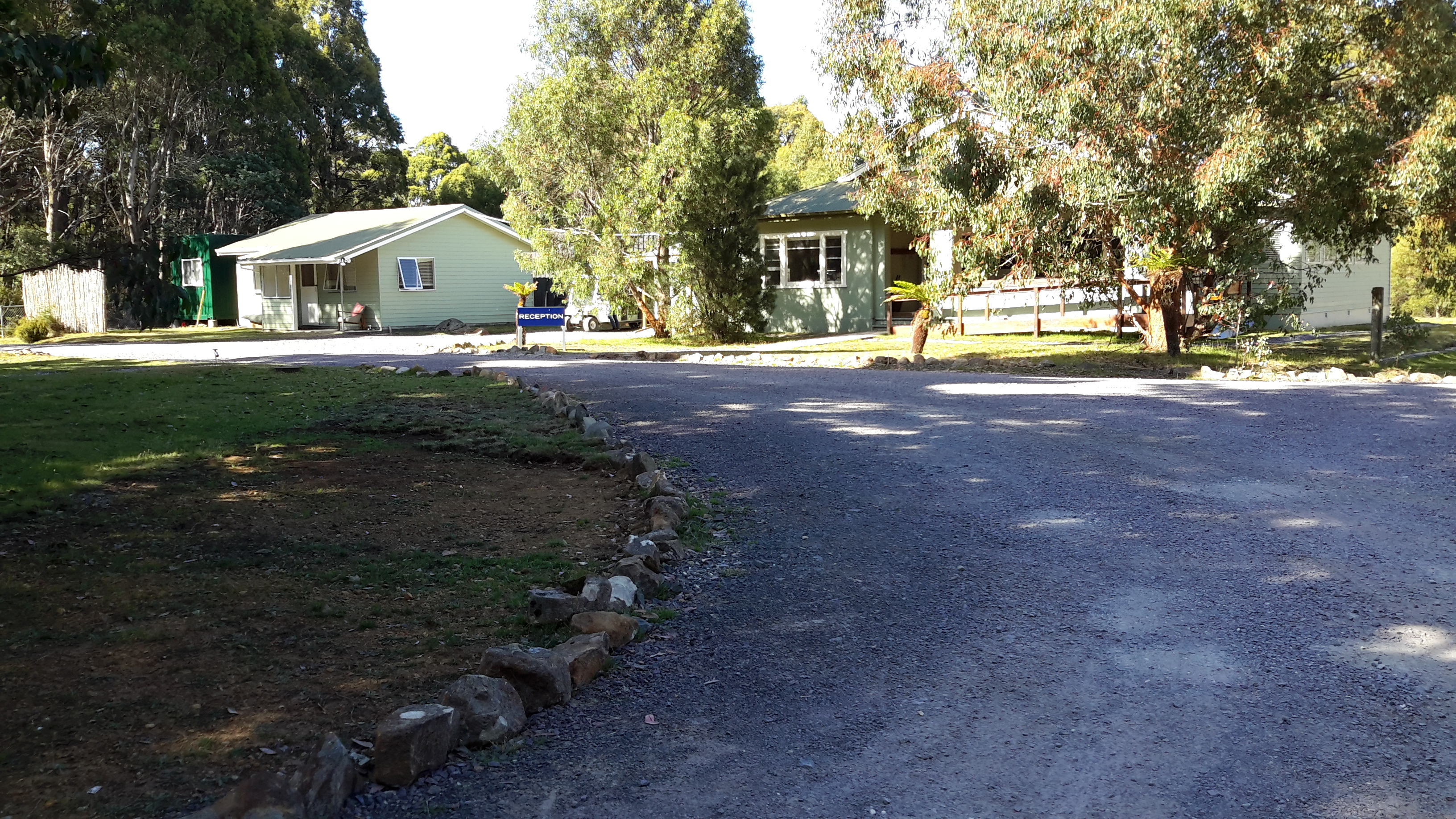
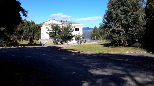
After winding within the bush, finally the track entered the back of the Pumphouse Point Hotel complex’s visitor carpark, with the reception building and one of the facility blocks nearby.

20160104_090118.jpg

20160104_090127.jpg

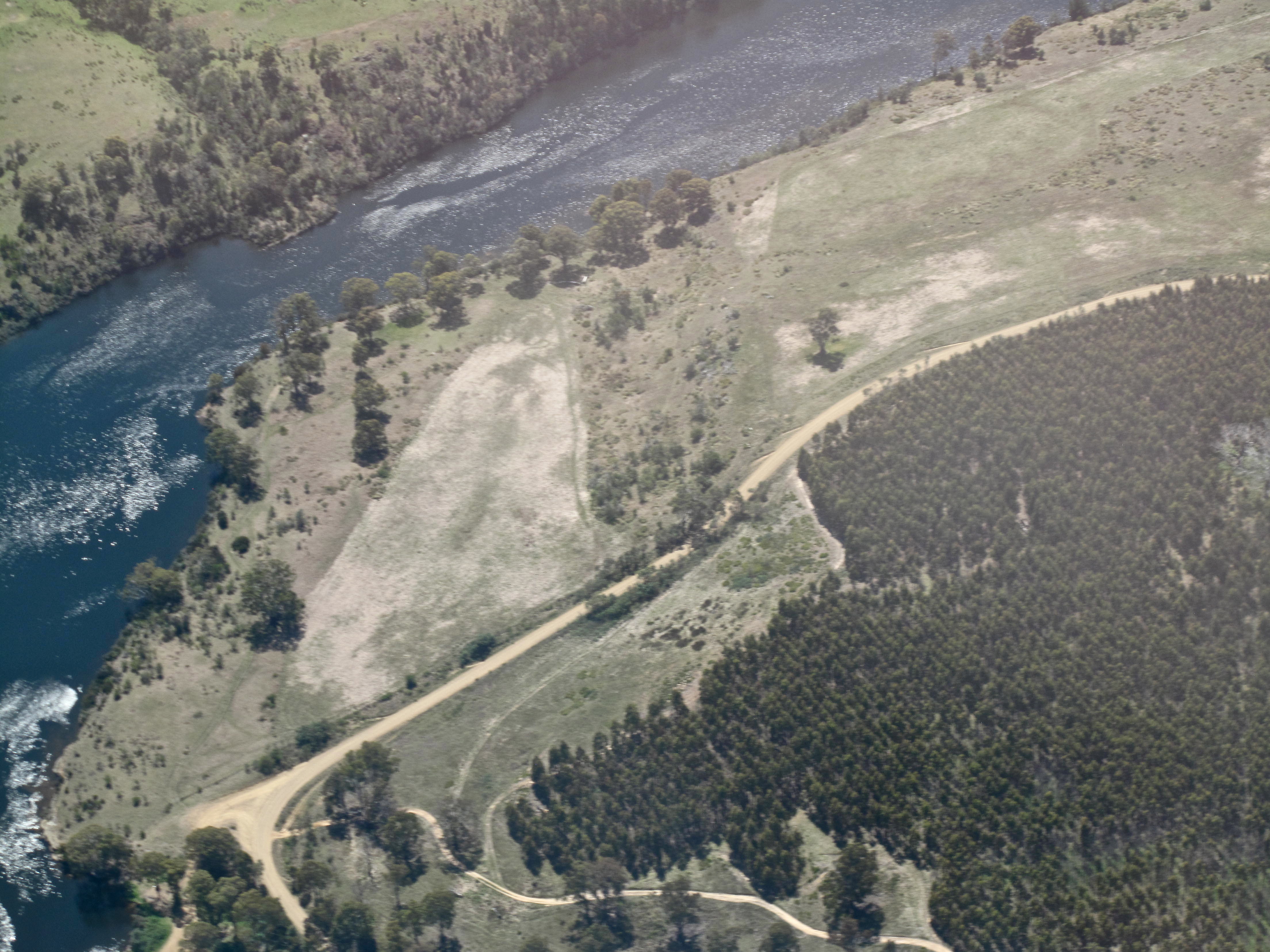
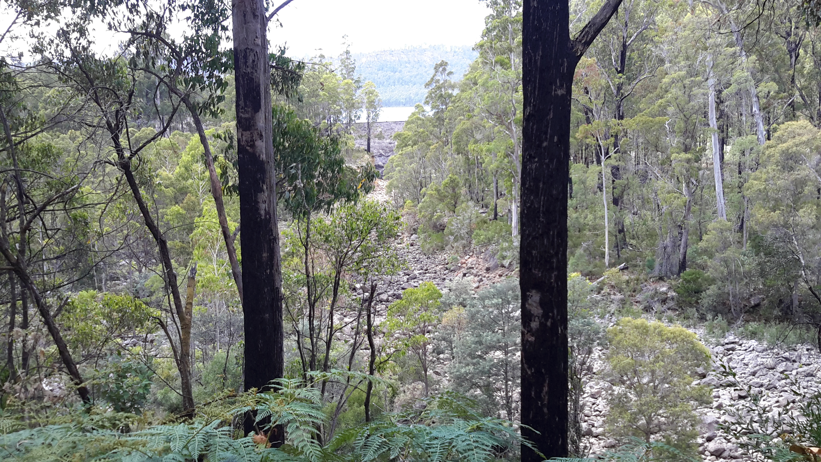
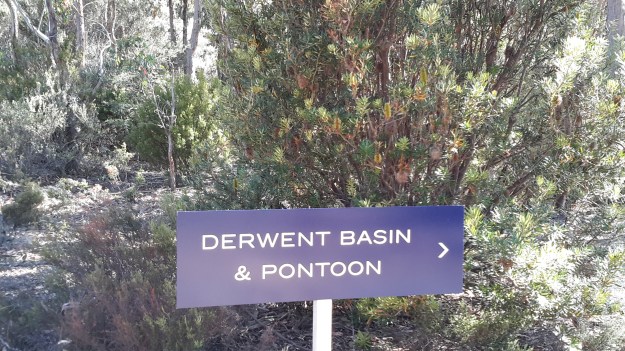
No signage existed to direct me to the Derwent Basin weir from the Pumphouse Point complex, so I crossed a small bridge and took ‘pot luck’ along tracks which eventually allowed me to pass the area where the Derwent Basin meets Lake St Clair’s waters, and to continue onto the Derwent Basin Weir.

20160104_090448

Enjoy the crystal sharp birdsong in the bush on this short video.

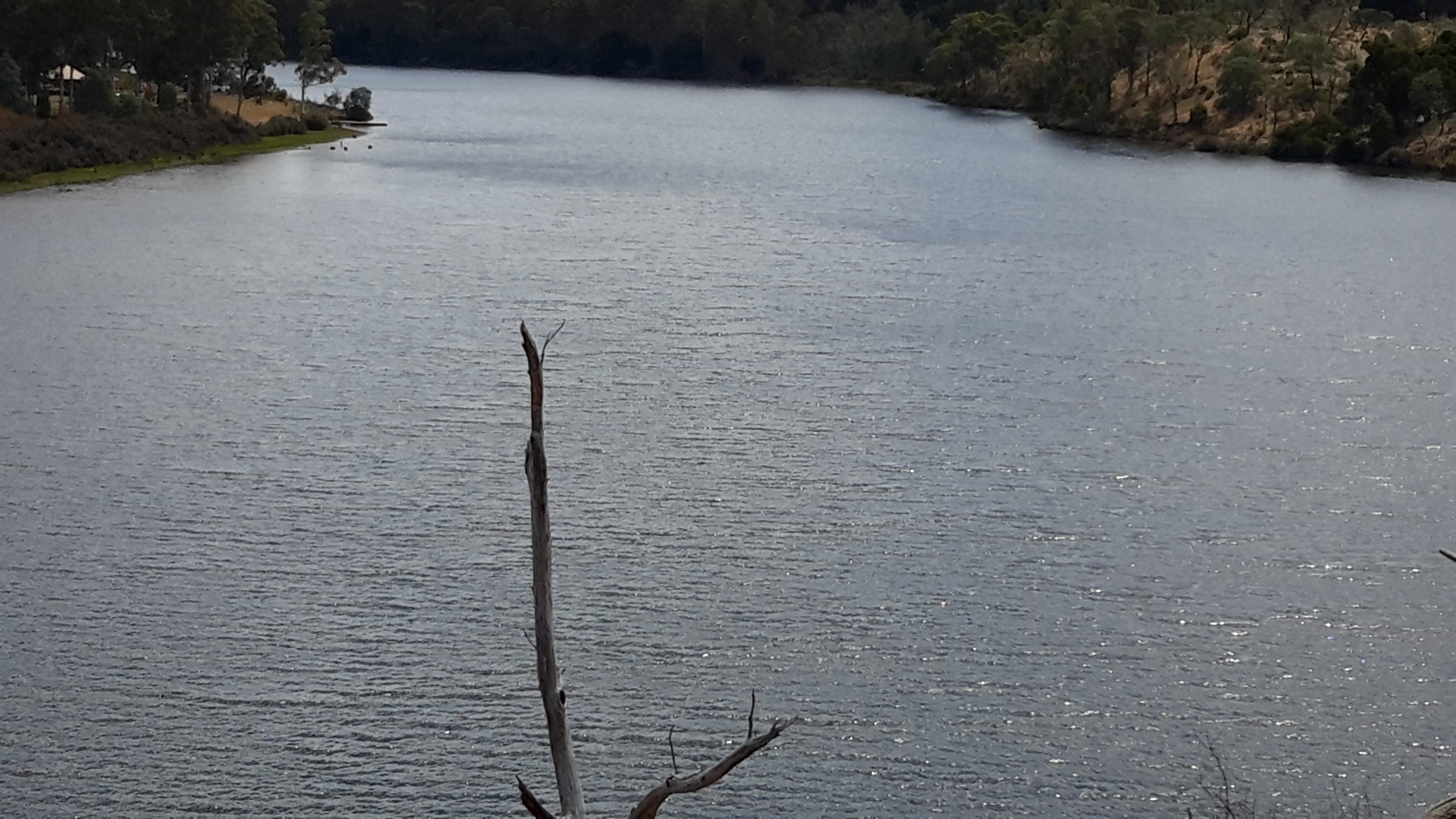
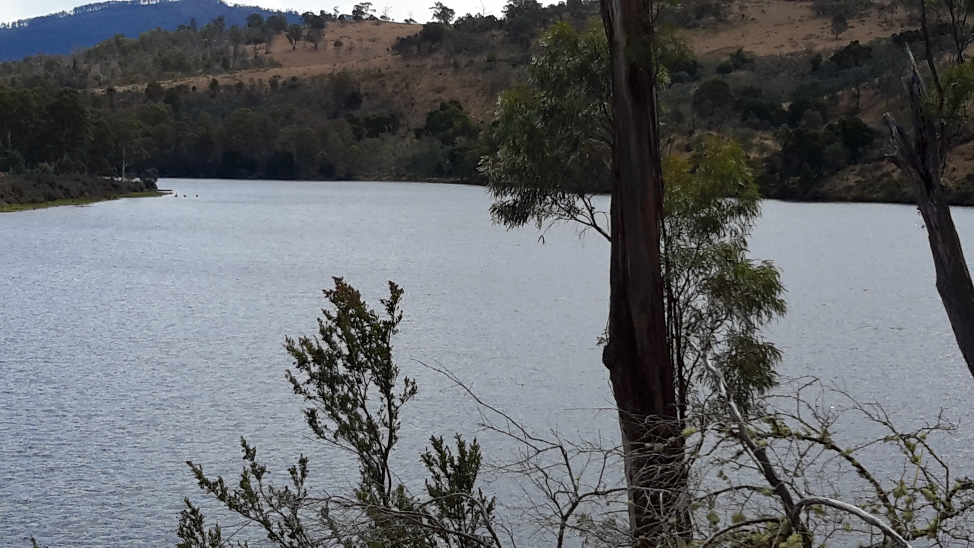
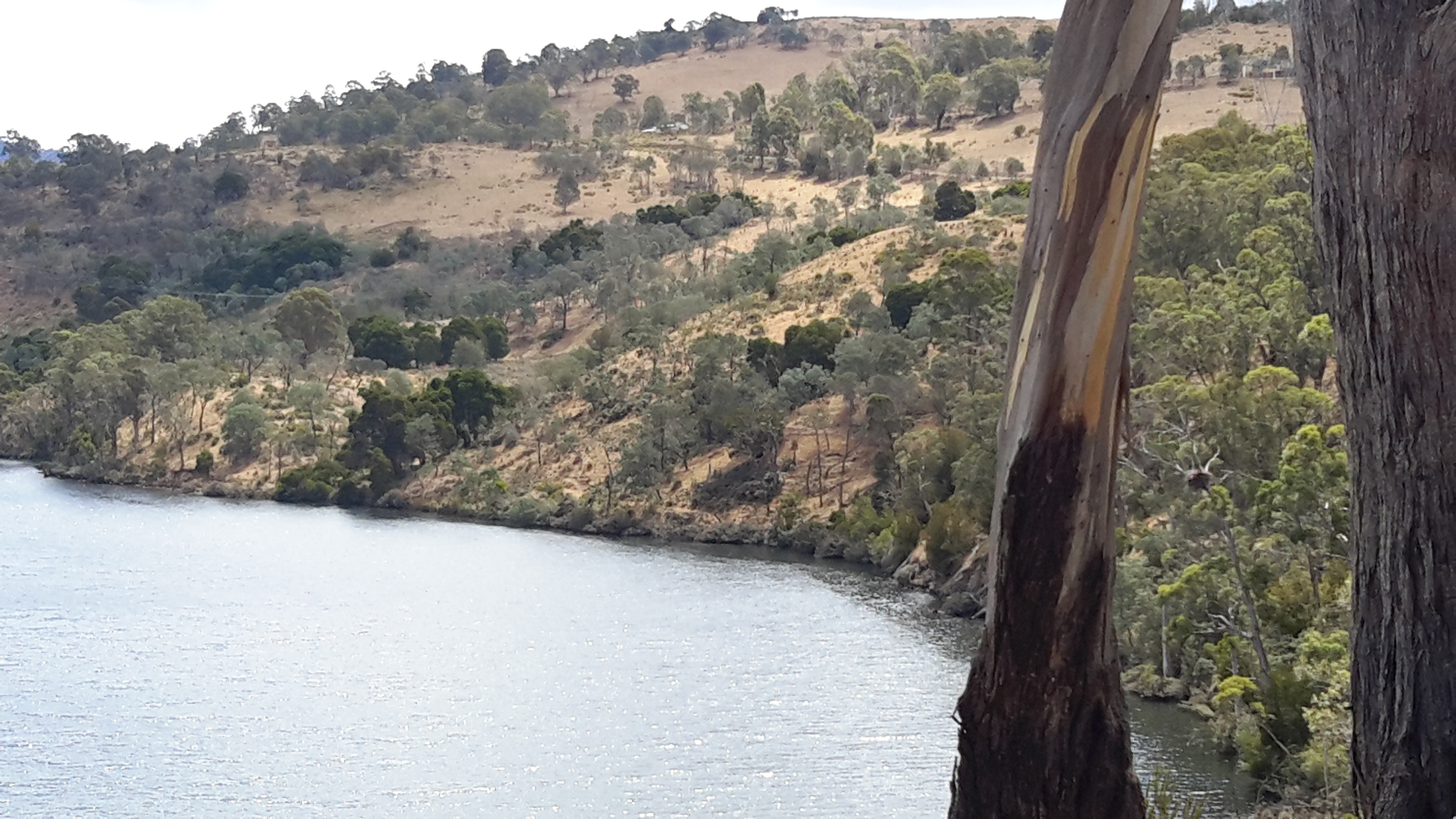
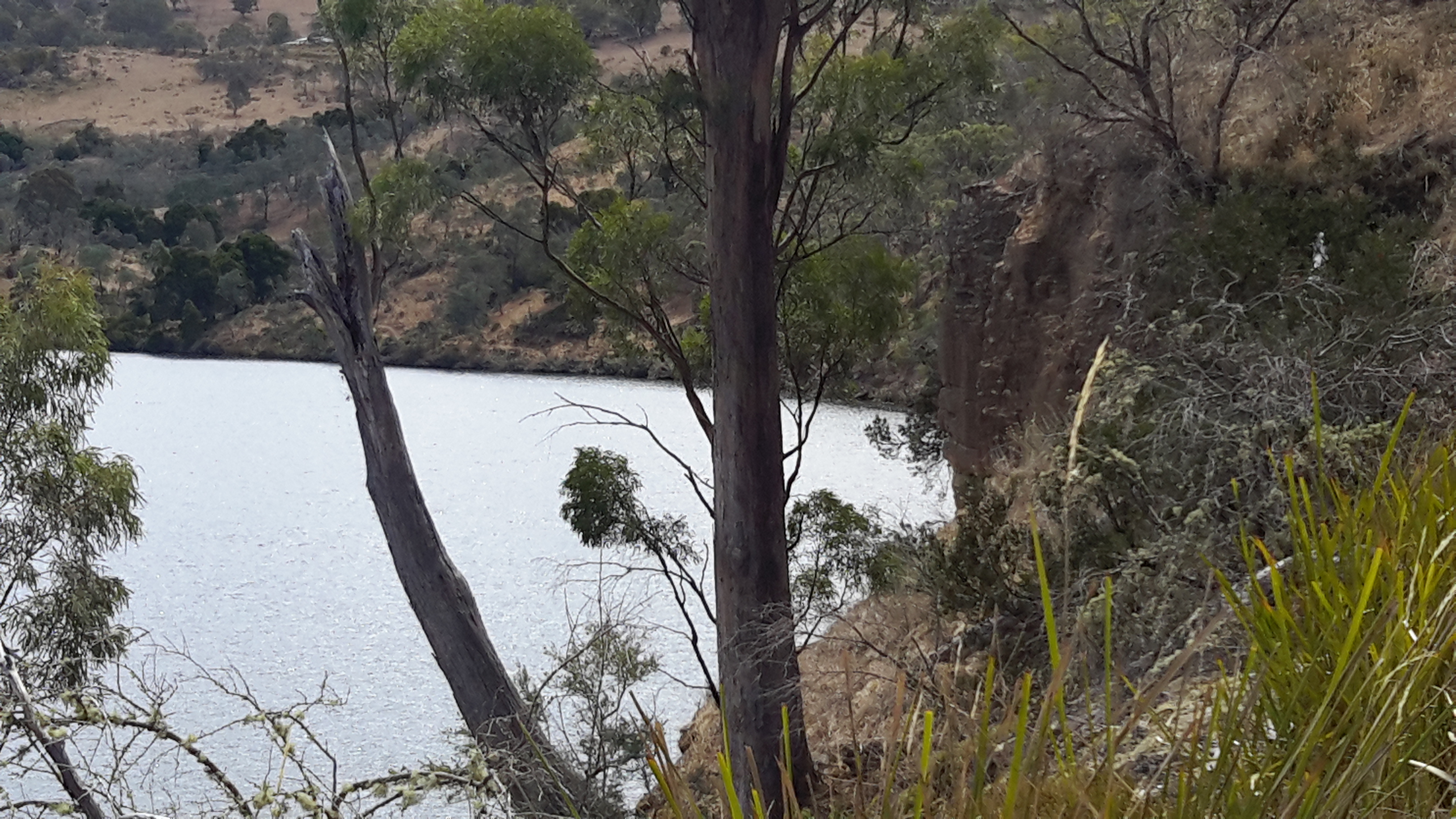
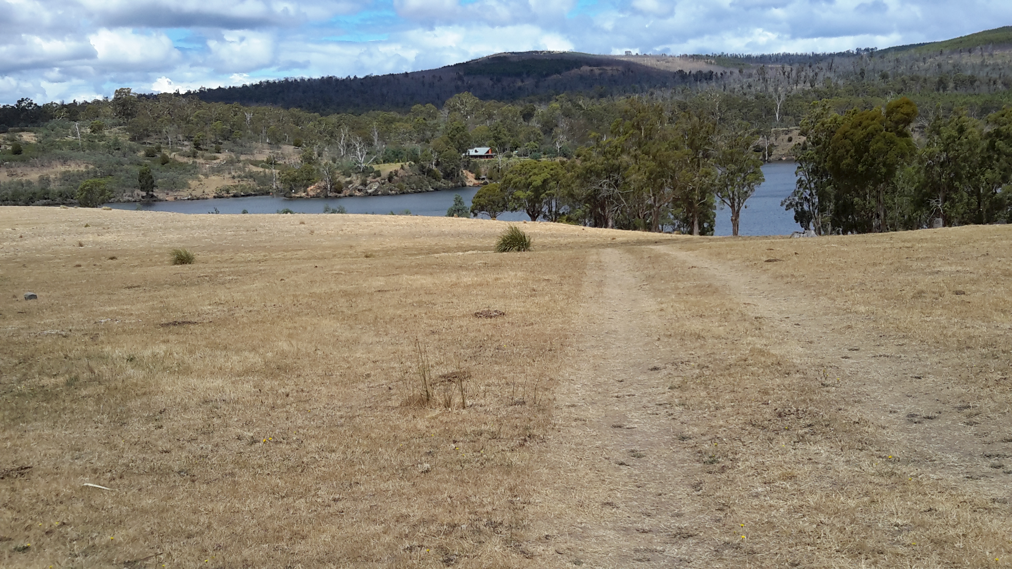
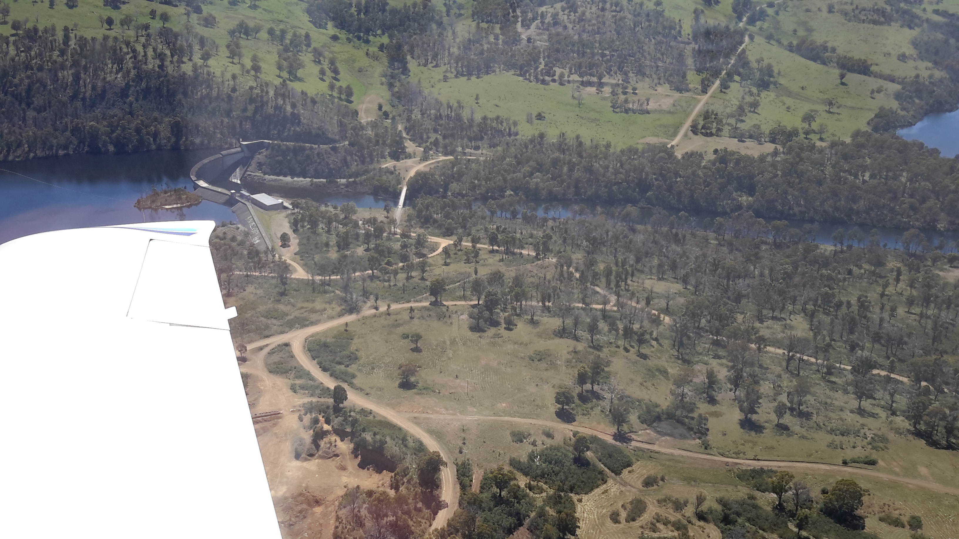
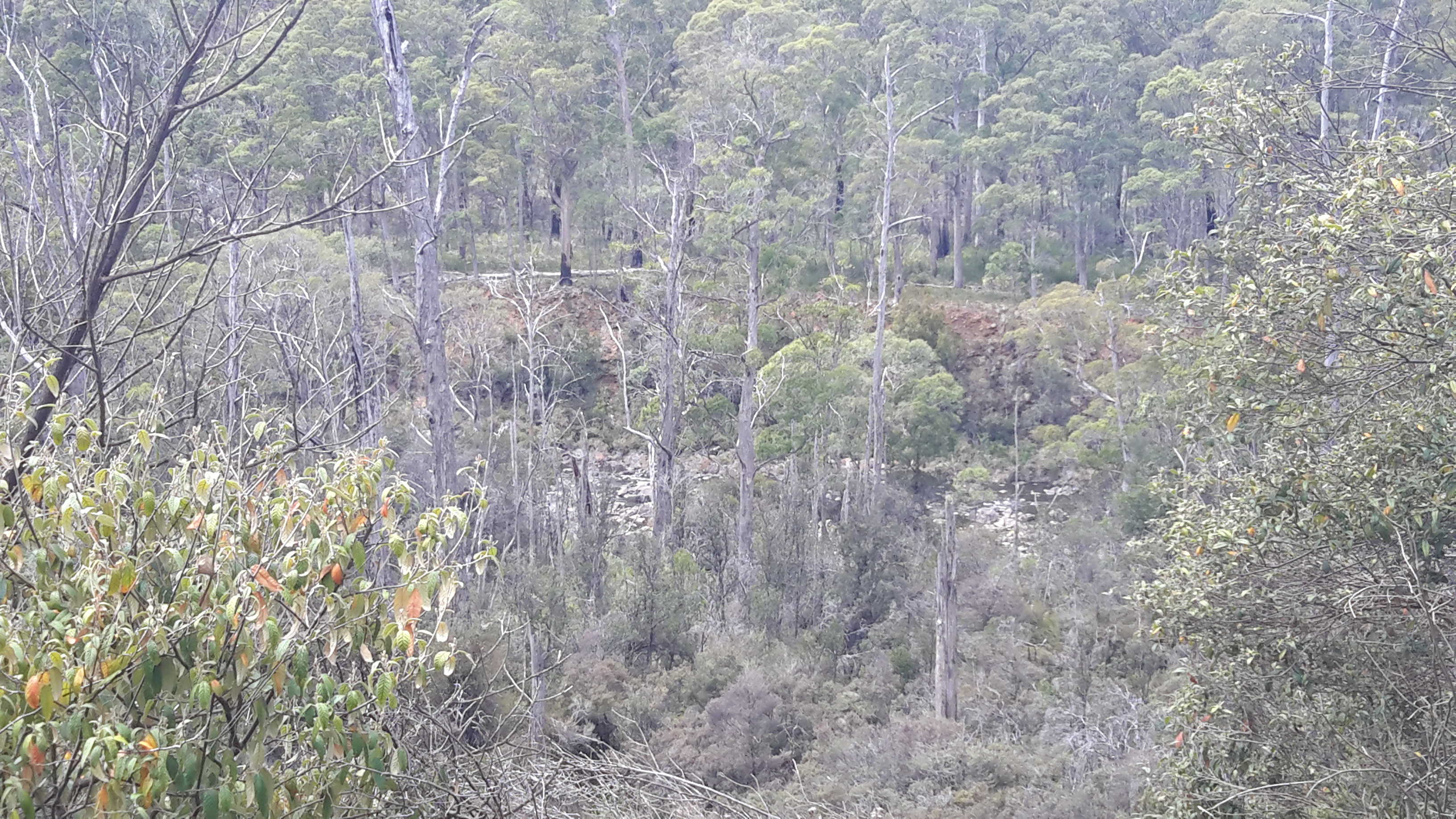
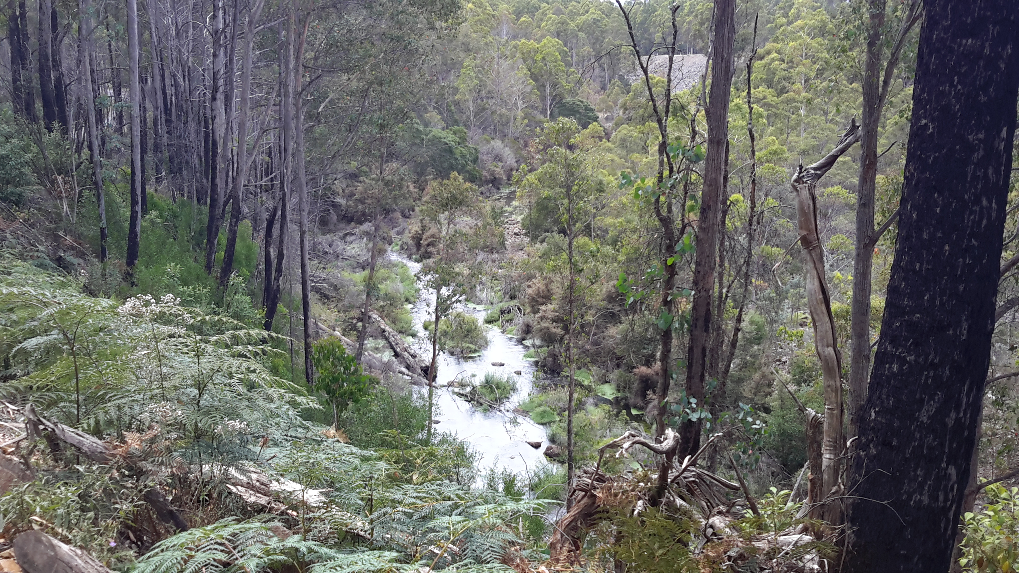
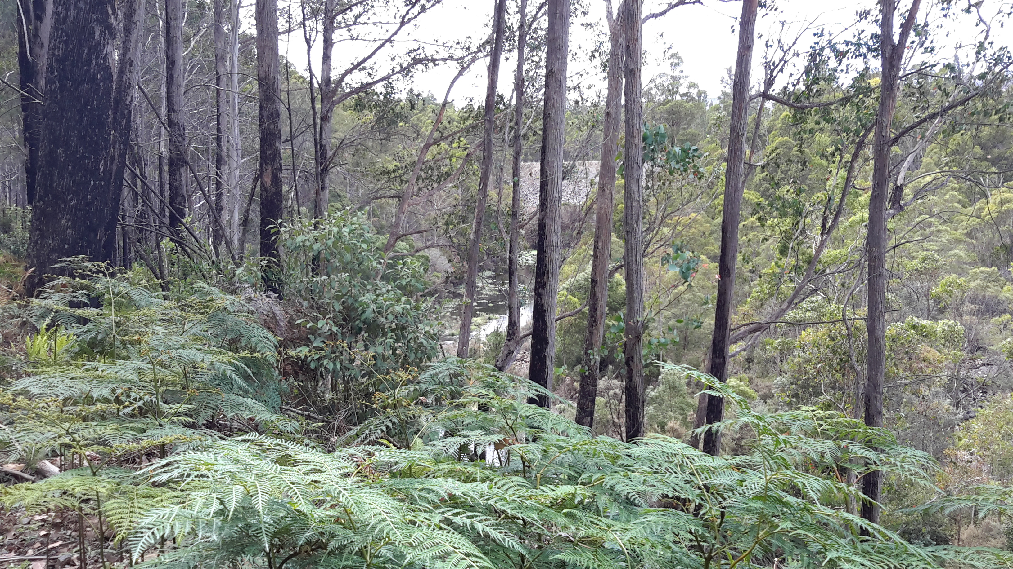
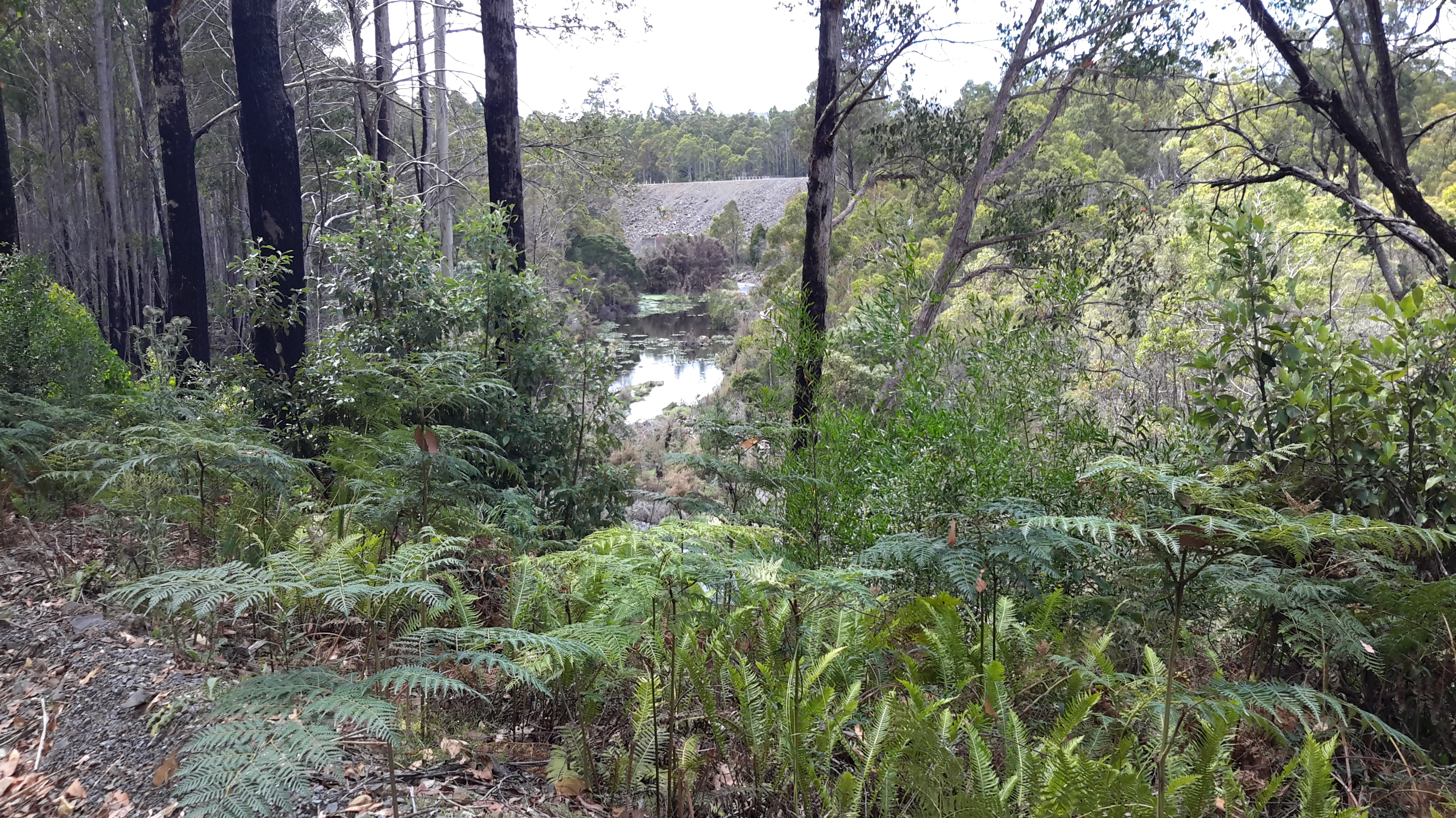
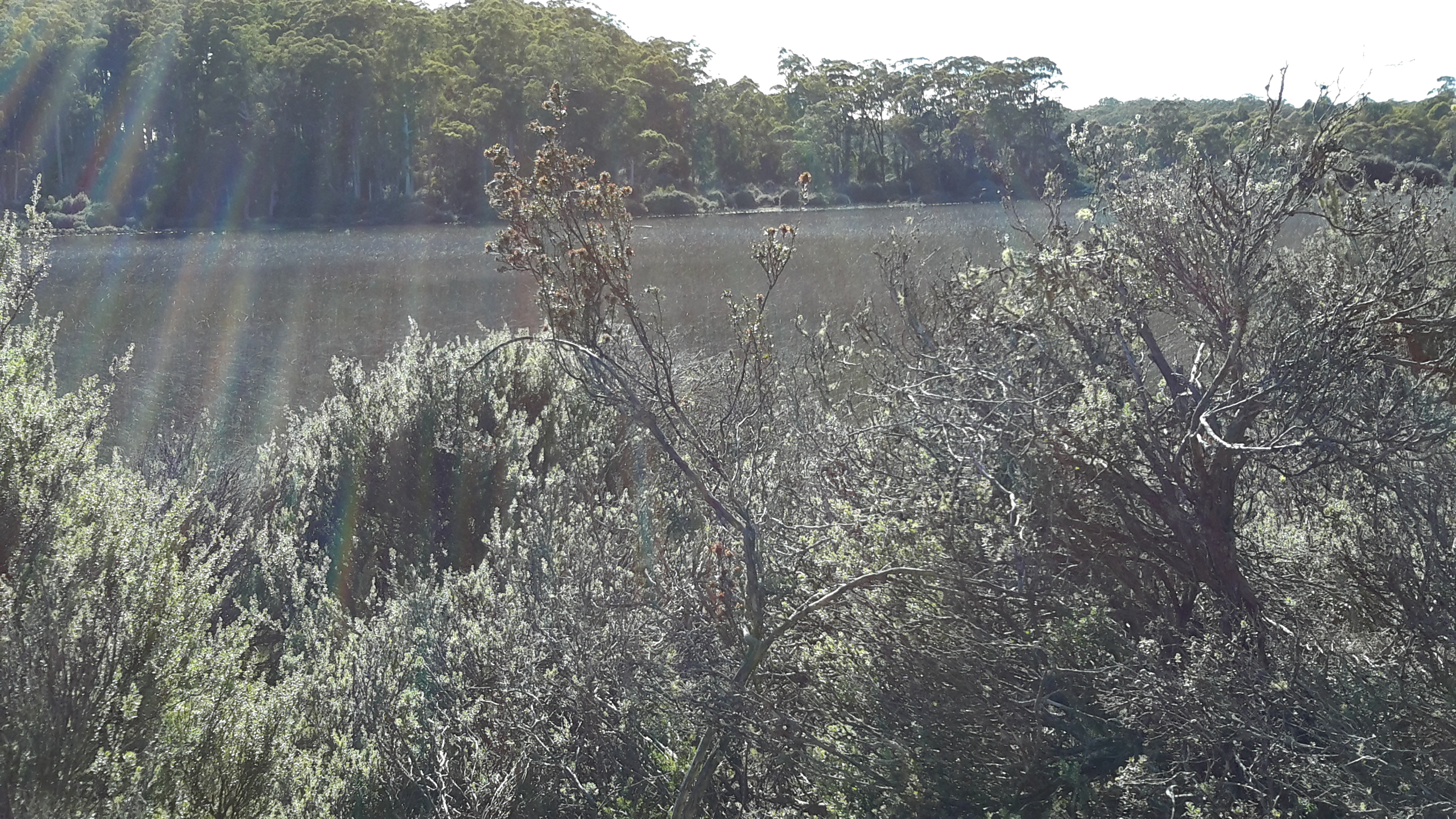
Later I found a sign and followed the elevated blue metal track from which I could scan glimpses of the large expanse of Derwent Basin.

20160104_090517.jpg

20160104_090646.jpg

20160104_090802

20160104_090846.jpg

20160104_090856.jpg

20160104_091000.jpg

20160104_091114.jpg

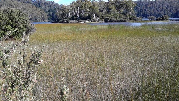
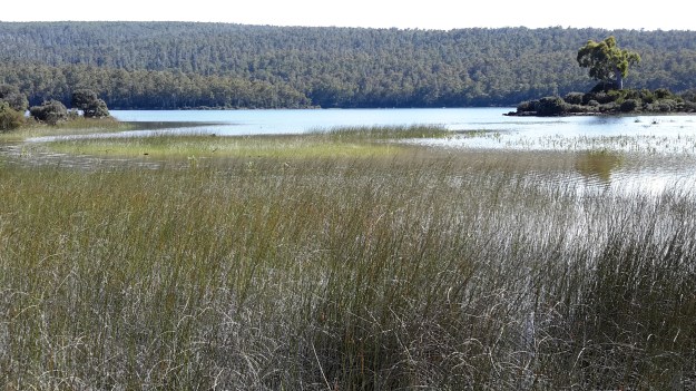
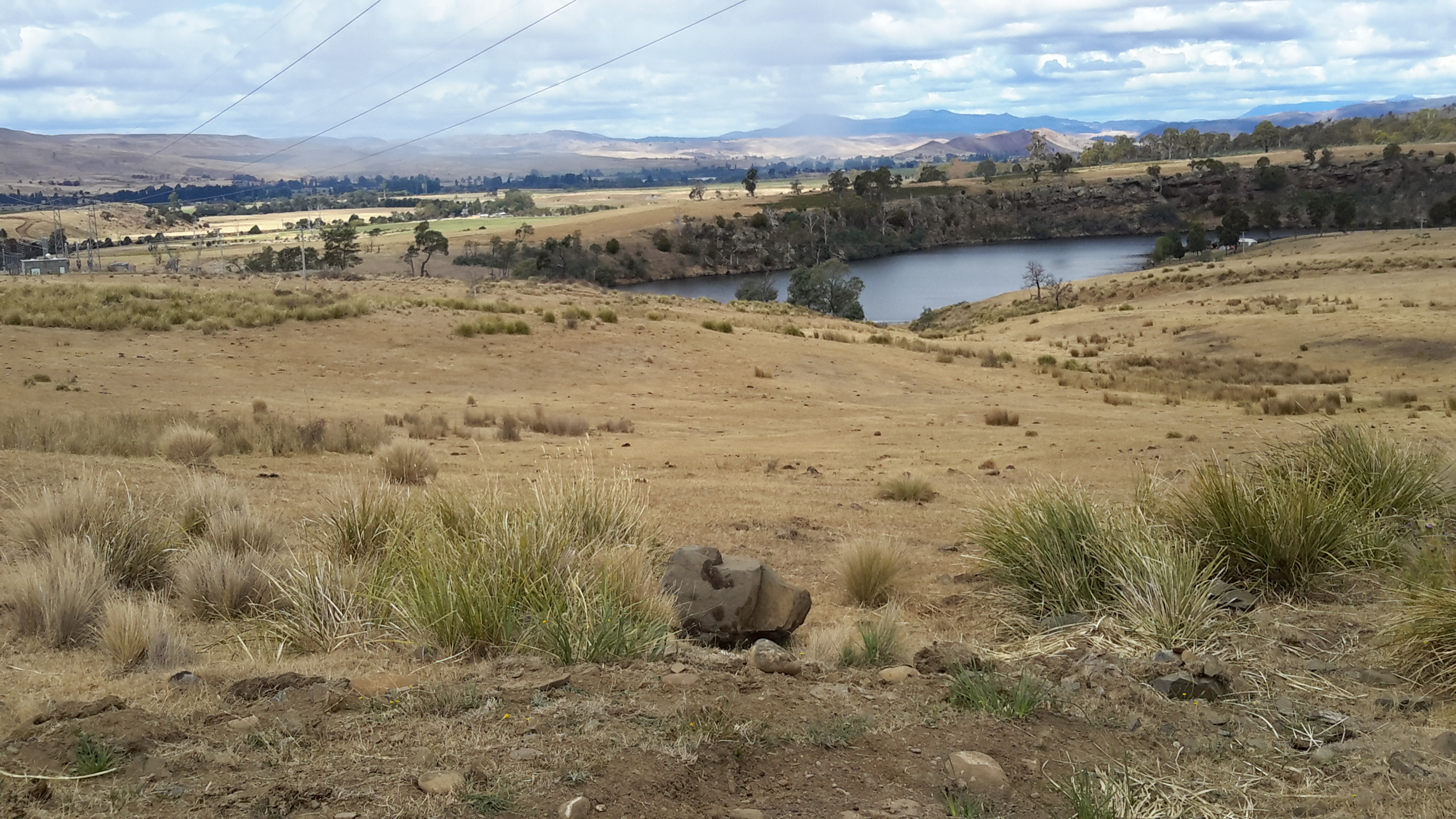
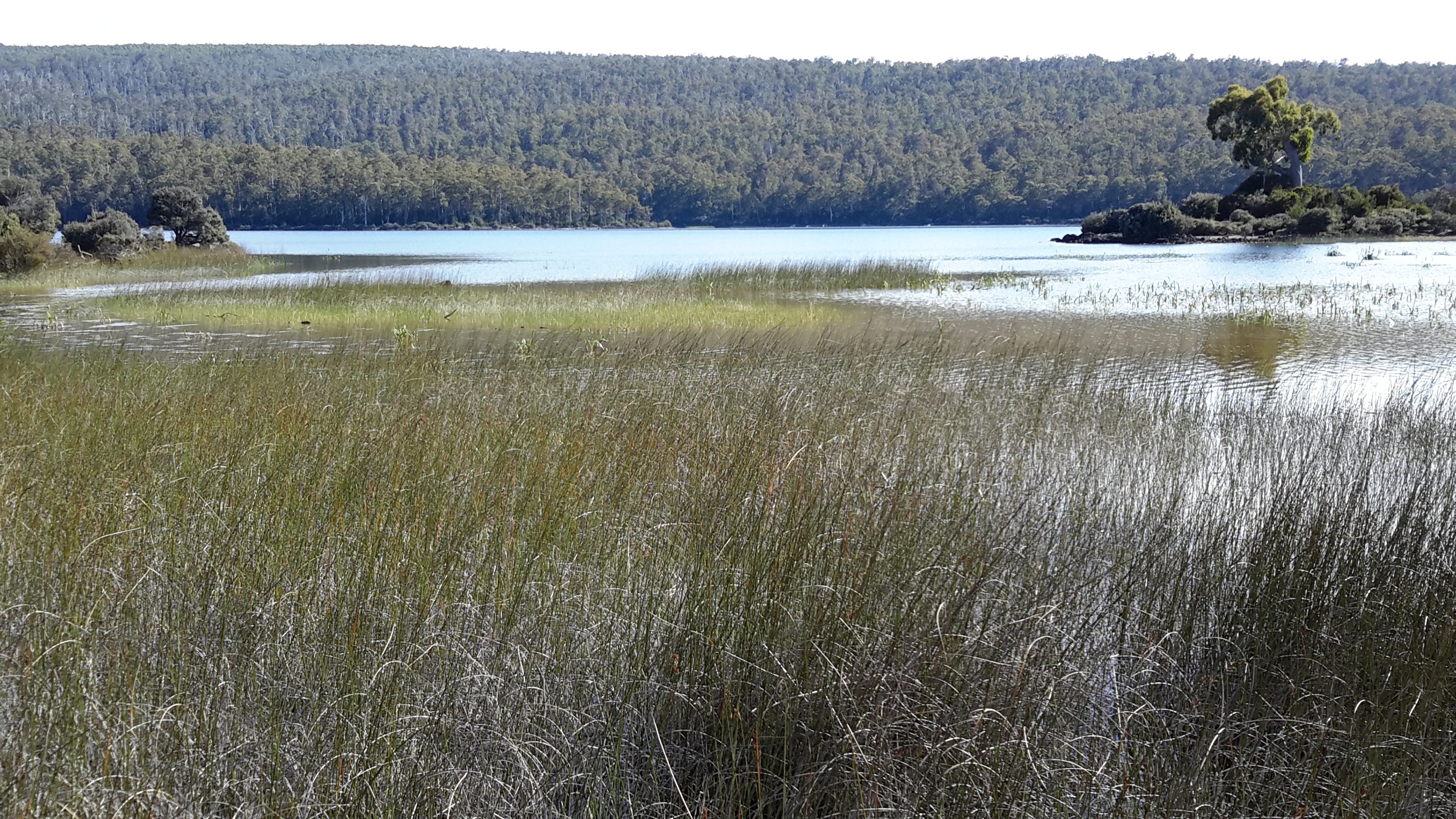
On the southern side of the track, St Clair Lagoon filled the space. In the photos below you can see the bump on the horizon; that is Mount Charles to the north east of Lake King William which I had walked beside and around the day before I reached this idyllic spot.

20160104_090836

20160104_090952

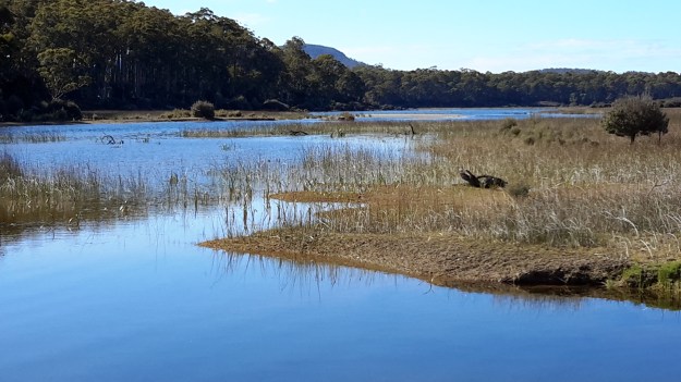
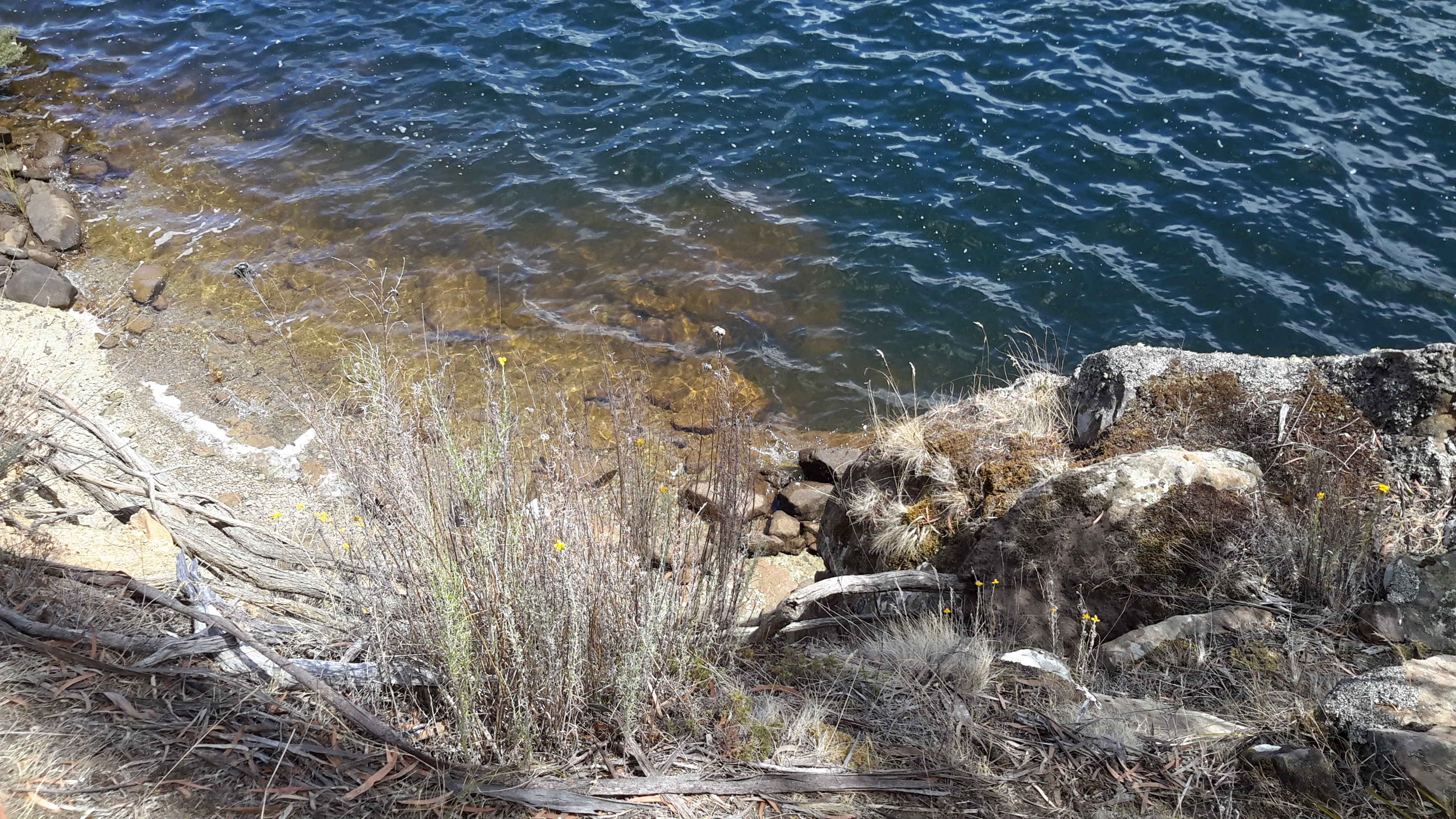
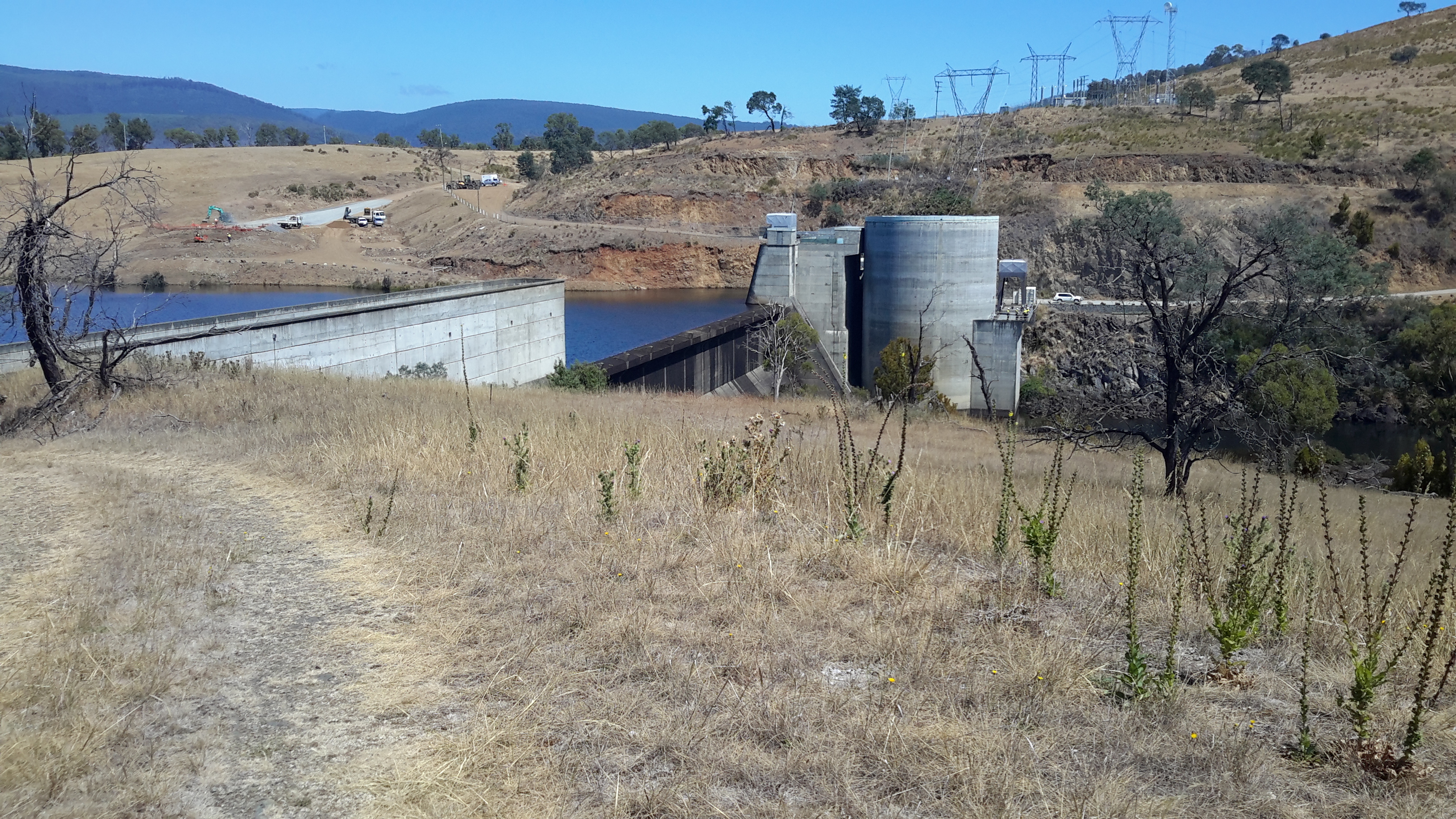
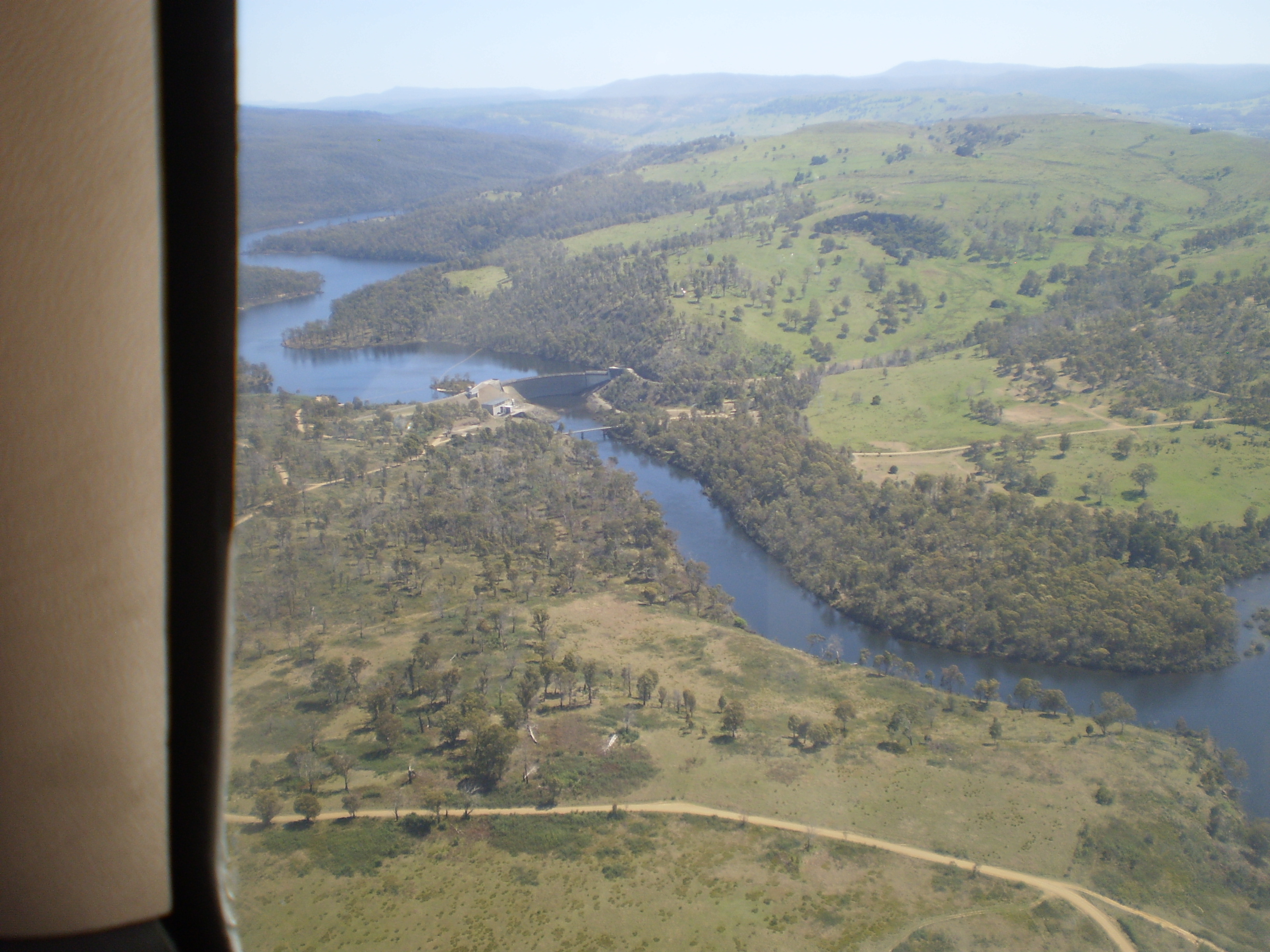
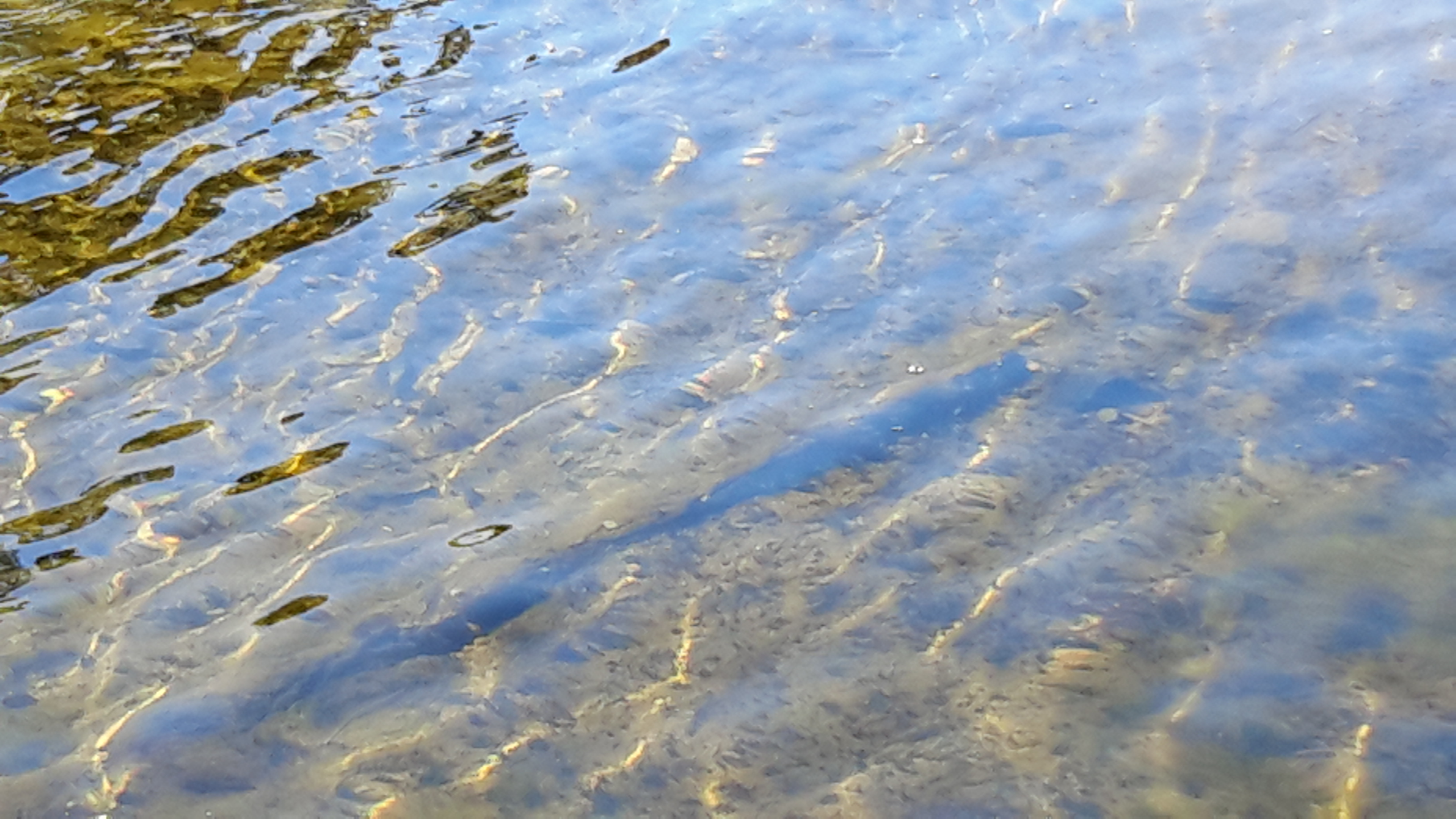
When I reached the tiny weir controlling the flow of water from the Derwent Basin into St Clair Lagoon, the sharp mid-morning sun sparkled intensely on the water. I was almost blinded by the light.
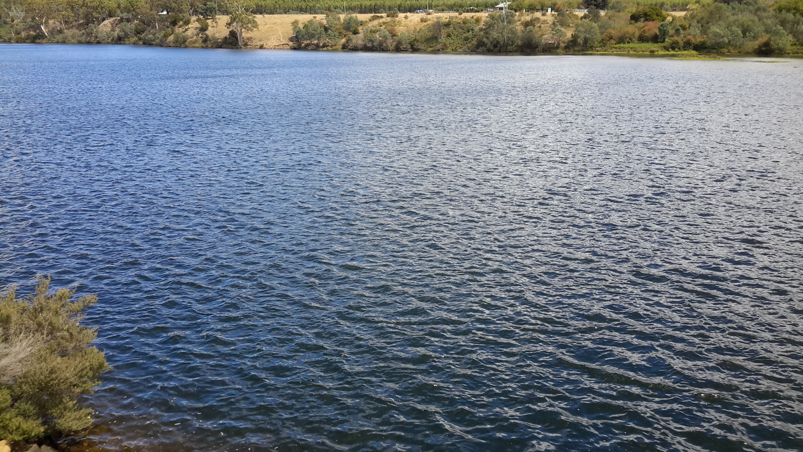
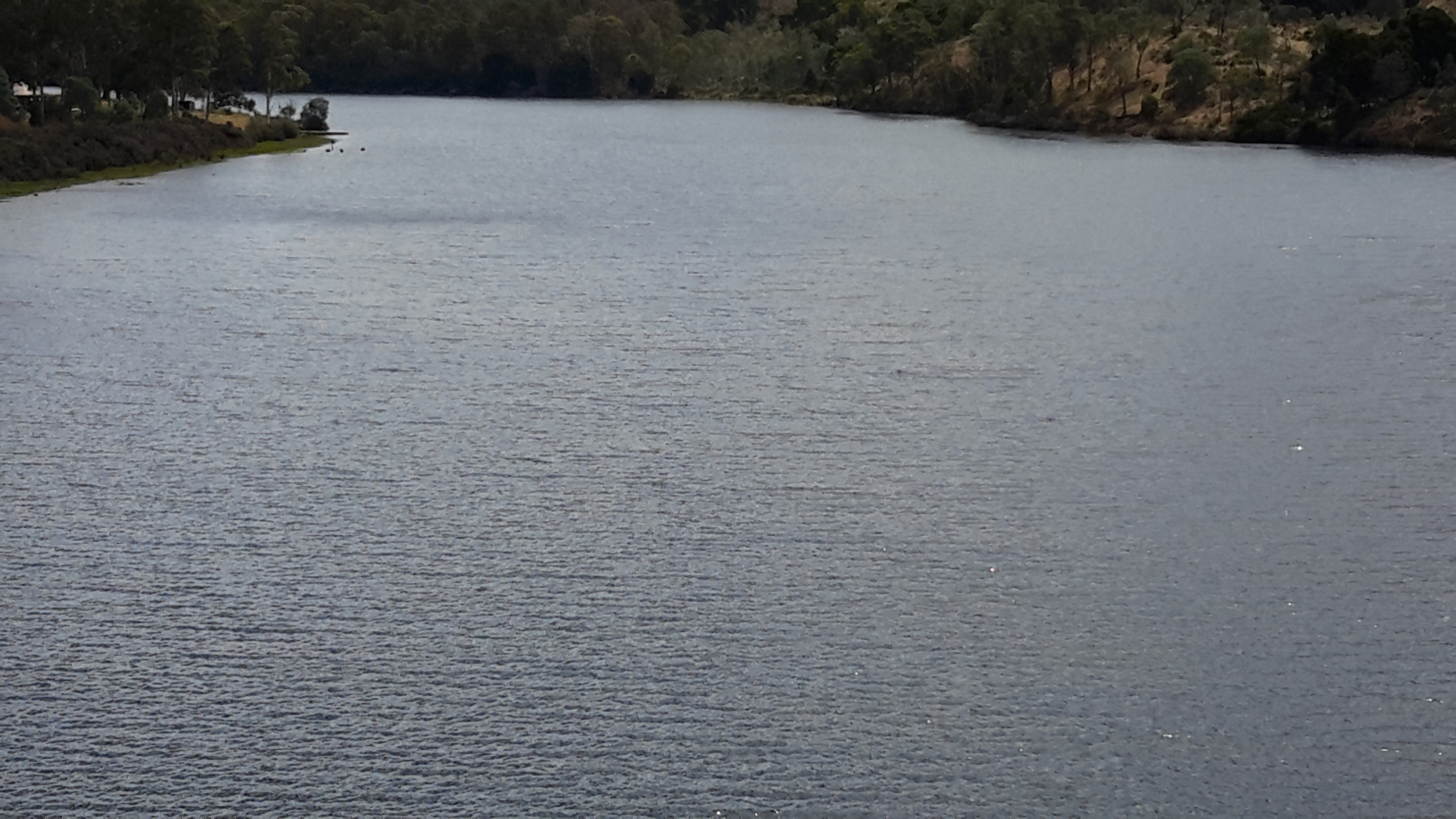
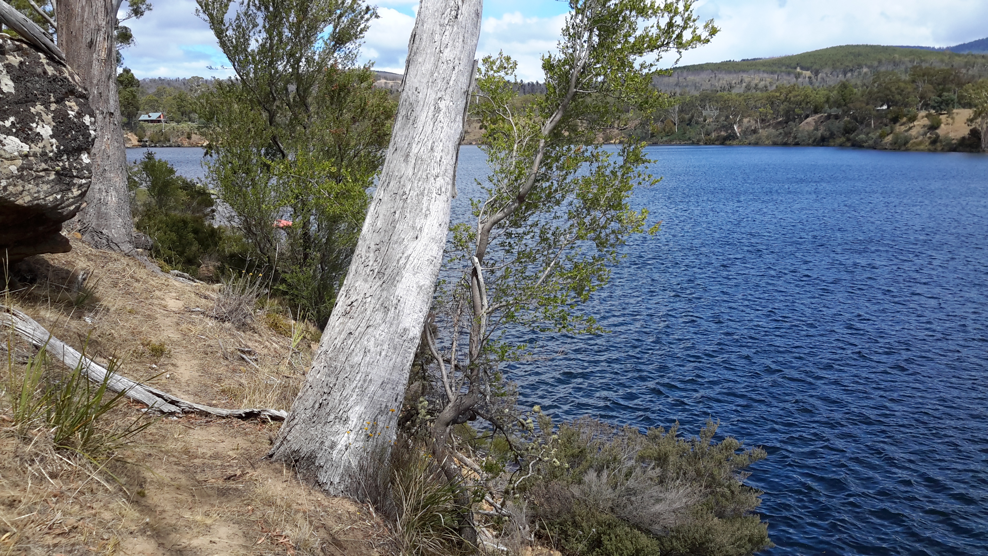
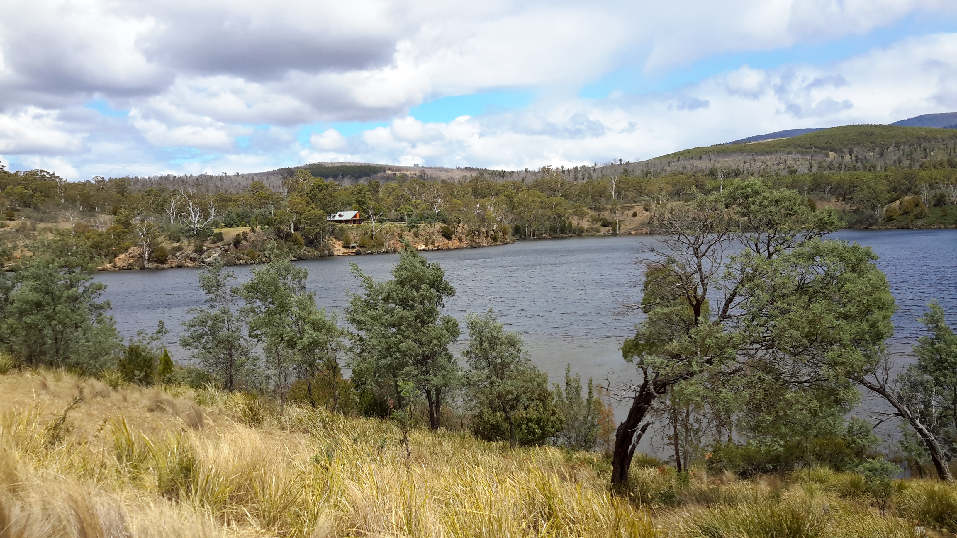
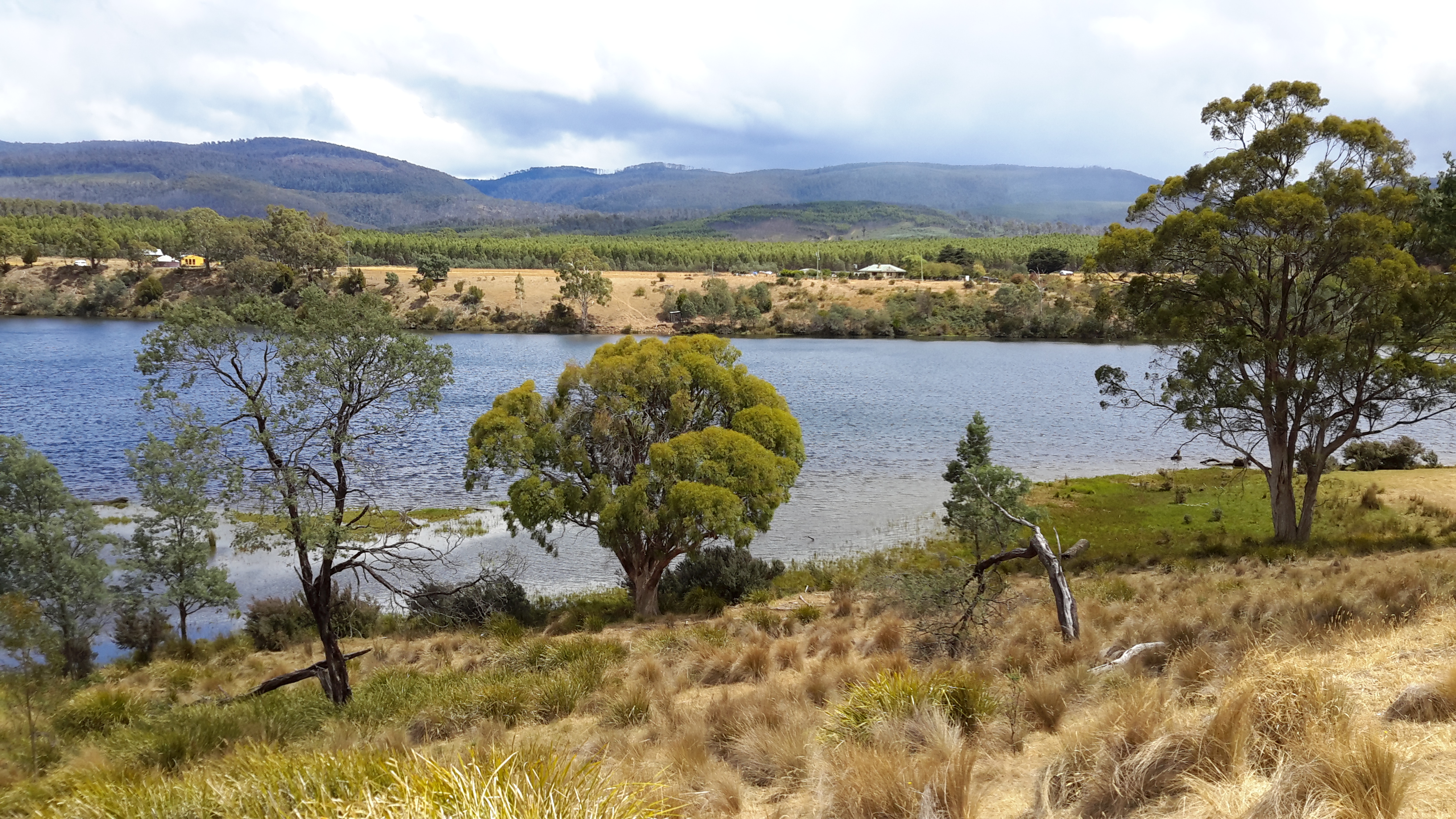
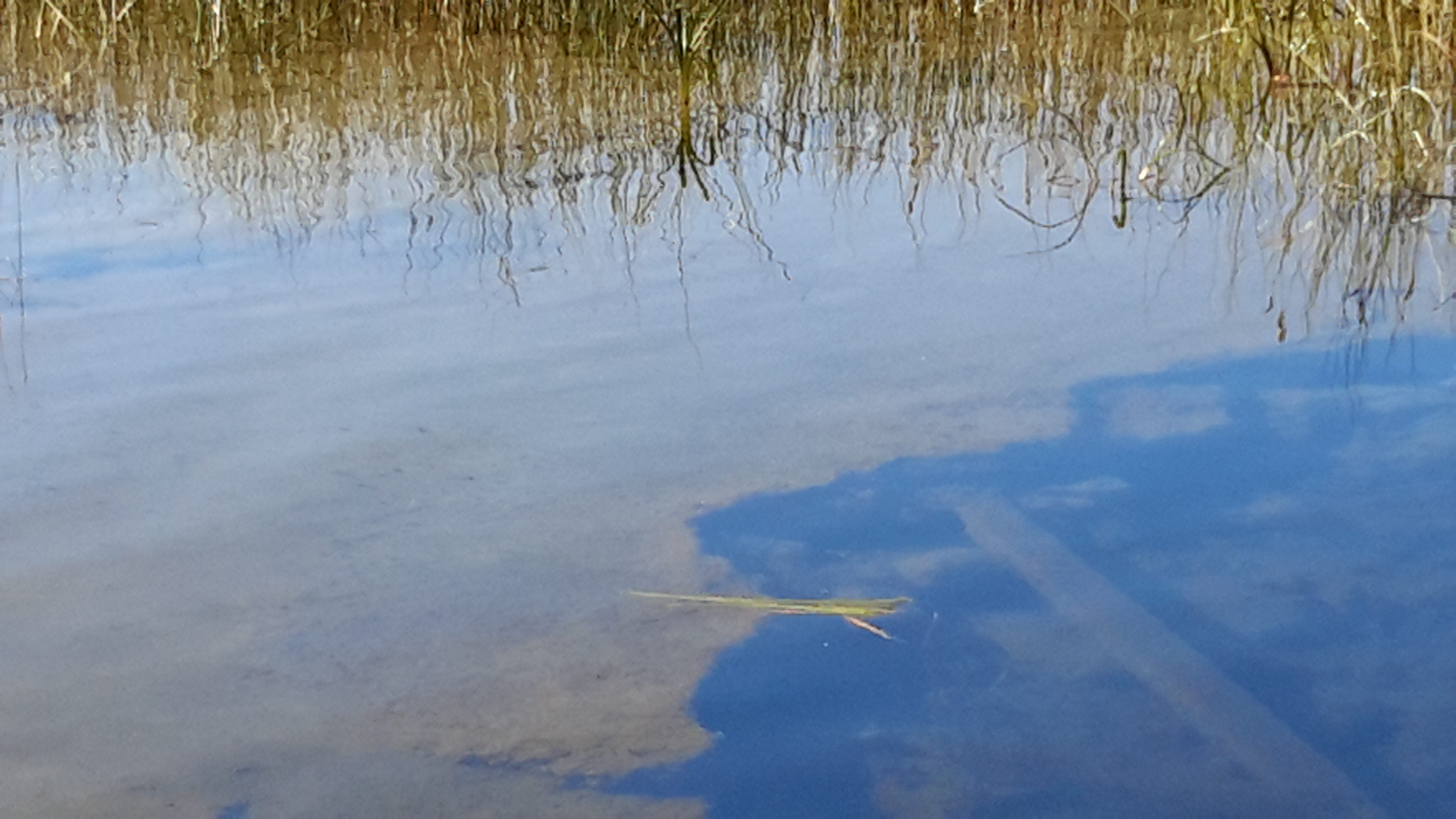
20160104_091137.jpg

20160104_091229.jpg20160104_091226.jpg