Author Archives: Tasmanian traveller

Unknown's avatar

About Tasmanian traveller

Through travel, I have experienced the eccentricities of people and their environments around the world. At the same time, I love where I live. So, for people who cannot travel to discover the wonders of my home town, this blog is an attempt to introduce its exoticness. My goal was to walk along both sides of Hobart's Derwent River from the mouth to New Norfolk, and to walk on one or alternating sides of the River between New Norfolk and the source of the River at the southern end of Lake St Clair. The walk was undertaken in stages around my other commitments of my life. Almost all stages of the walk connected with Tasmanian public transport - my intentions was to inspire people, who do not have access to a vehicle, to feel they can replicate the walks. This blog reports on each stage in the hope it will encourage people to either follow in my steps or to create their own walking project where-ever they live. Please note: The blog background and headliner image of 'Hobart from Mt Wellington' is the work of Tourism Tasmania and Garry Moore. It is a free image with unrestricted copyright and available from http://www.tassietrade.com.au/visual_library

Nearing and then on the Lyell Highway

The pastures continued lush and green.

20150918_132218 20150918_133407

You can see a short stretch of the Derwent River in the second photo and the township of Gretna (the destination for this stage) is located on the hill above.

20150918_133542 20150918_133521

Massive log trucks, taking their pickings to market from our pristine wilderness forests, roared past me.

20150918_133413 20150918_133501

Before long the Lyell Highway, which connects Hobart to the west coast mining towns of Queenstown, Zeehan, Strahan and Rosebery, appeared in view.

20150918_134034

I turned left towards the township of Gretna (which, I note was not listed on any of the signs in the vicinity of this intersection). A few isolated properties, of various vintages, edged the highway.

20150918_134526 20150918_134801

20150918_134532 20150918_134756

20150918_134903 20150918_135203

Each step took me closer to my destination for the day.

20150918_135012

Then the Derwent River came back into view as it snaked its way beneath Gretna.

20150918_135353 20150918_135440

20150918_142556 20150918_142732

20150918_142734 20150918_142924

The sign indicating only 500 metres to the Gretna Green Hotel brought on the thought of a long cold drink and filled me with excitement.

Blue skies and sheep glorious sheep

20150918_131448 20150918_131545

20150918_131612 20150918_131750

It seems so long ago that the Chinese New Year was launched back on the 19th February 2015 and announced as the Year of the Sheep according to the Chinese zodiac.  The ‘year’ continues until 7 February 2016.

As I walked, my mind often wandered to sheep.  The paddocks were dotted with these woolly bundles. The first merinos were sent by Governor King to Hobart in 1805.  More varieties of sheep were brought into Van Diemens Land from the early 19th century as the colony established itself; firstly for meat consumption and then not long after for wool. The establishment of woollen mills followed. These days sheep farmers around Tasmania continue to supply our nation’s butchers and supermarkets, and the fashion industry via fine wool fabrics.

Friends and blog followers know that sheep figure in my list of loves (Refer to an earlier posting).  Therefore, it should not surprise you when this post concludes with photographs I took last year of a very large marble sculpture installed in Stockholm Cathedral, Sweden. Stunningly beautiful!

20140621_155022 20140621_155028

Higher and higher

Eventually I began to crest the hill and behold vistas on the Lyell Highway side of the hill. Glimpses of the Derwent River appeared from time to time.

20150918_125951 20150918_125954

20150918_125958 20150918_130424

Amidst the rolling cleared paddocks with their sheep, one was cultivated.

20150918_130121 20150918_130544

20150918_130924

I wasn’t sure of the vegetable but it seemed as if the crop was cabbages bolting towards seeding.  Rather strange they were not picked earlier.  Were they intended to be animal feed?

The afternoon was glorious.  The spring blue sky colour, the variations in the landscape, the occasional jigsaw pieces of Derwent River which popped into view, and the rural quietness were splendid.

20150918_131049

Uphill on a narrow road

The sun was out and when I looked in one direction, the sky was cloudlessly blue. Stunning! The high plateau of Kenmore Hill was high above the opposite side of the Derwent River.

20150918_123800 20150918_123323

The views were green and rural and the Derwent River ran at the bottom of this hill.

20150918_124602 20150918_125202

This farm was very inviting with only a few house animals – walking in the shadows of the tall gum and wattle trees on the river banks could have been a pleasure. On this property stood a sign alerting me to danger:  Trespassers will be shot.  So as delightful as walking the river bank might have been, I chose to keep away.

20150918_125443

The disused railway line

The last remnants of the old railway line crossed the road as I walked away from the bridge over the Derwent River on the edge of the area known as Macquarie Plains. I hope the blue sky and the bright green hilly paddocks in the first photo below makes your heart ‘sing’ as they did to mine. And note the line of fence forming a lace-like barrier between land and sky at the top of the hill.

20150918_121809 20150918_121827

The line continued on westward.

20150918_122438 20150918_123014

As I walked higher up the road, I could see the track crossing the Derwent River yet again.  Then it curved away permanently from the River.

20150918_123145 20150918_123341

I guess the beer business is booming

The area is known for its hop growing and apparently the demand is increasing.  On the river banks opposite the Bushy Park Sports Oval, new hop fields were being constructed.

20150918_121359 20150918_121632

Did you spot the snow on the distant mountains in the second photo?

Crossing the Derwent River

In stages over more than the past year, I have walked as near to the Derwent River as I can, and each time I see it up close again I am thrilled. Its scale, its colour, and its texture are always different.  The changing effects of the sky on the water’s surface are fleeting, and I love seeing every view.

On Day two, I had left Bushy Park, crossed the Styx River and was now on my way to the Lyell Highway with a despondent resignation that no more close encounters with the River would be possible this day excepting when I crossed the bridge.

20150918_121005

The bridge was long and offered one lane for traffic and no pedestrian path. This is an area where powerful log trucks, various large transports, farm vehicles, massive four wheel drives, and all manner of smaller cars and motorcycles power along the road.  I considered hitching a ride over the bridge with the intention of travelling across in safety. Thankfully the vehicles do not come in a continuous stream, so I looked for a gap in the traffic.

With an ear to the wind, I listened to hear approaching vehicles. In a moment of quiet I made my ‘run’ for it. Friends would know no running was involved. Rather I stepped out purposefully and as quickly as I could, humping my backpack along with me.

Two thirds of the way across I felt indignant. I wanted to have a look at the river but the fact that it was dangerous to be on the bridge unnerved me. Nevertheless, I glanced around and noticed the magnificence of the views up and down the river. As I readied to take a quick photo I could hear an approaching vehicle.  But I stood my ground.  Then I flattened myself against the bridge railing as a monster dual cab ute whizzed past with the driver glaring at me.  I glared back; I hoped my stony look, backgrounded by thoughts of frustration that walkers were not considered in the bridge design, communicated to him.  I know I know I know. Of course it didn’t. I am sure he simply thought my presence was the impediment to his safe progress.

20150918_121215 20150918_121218

Before long I was off the bridge crossing the Derwent River and heading eastwards to the Lyell Highway.  Getting down to the water was impossible. In this case it was the tangled Blackberry canes that stood in the way.

20150918_121314

A 1904 church

From a distance, the structural framework designed to hold the hop vines ‘caught’ a church like a spider’s web. I walked quickly to find out more about this decorative little building.

20150918_120643

I learned that this very pretty St Augustine’s Church, which sits a short distance from the township of Bushy Park, is part of the Anglican Parish of Hamilton.

20150918_120812

A very large tree effectively blocked opportunities to take full frontal photographs. From the Gretna end of the building, the church appeared as follows:

20150918_120848

I found little background on this church. The foundation stone was laid on the 20th July 1904 by the Right Reverend J.E. Mercer D.D. who was then Bishop of Tasmania.  According to the Tasmanian Anglican,St Augustine’s church is nestled in the picturesque hop fields at Macquarie Plains. This beautiful little church has experienced huge floods over the years, with the 1960 flood almost reaching the guttering, where a small plaque now records the level. It was during such floods that many records were lost or damaged’.

The church is listed on the Tasmanian Heritage Register.

The Styx River

In ancient Greece, the Styx was a deity and also a river that formed a boundary between earth and the underworld, and was one which had miraculous powers. In texts such as Dante’s The Divine Comedy, the Styx figures as a metaphor for Hell. I suspect many countries in the world contain a river named the Styx and that for some people, their river connects with Hell or with an earlier characteristic from Greek mythology. There are a number of Styx rivers across Australia.

Tasmania’s Styx river feeds the Derwent when it flows into that River along the edges of the Bushy Park Sports Oval. Our Styx River, a wild one racing through narrow gorges and bristling over rapids in many sections, starts its life in the wilderness near Mount Mueller further west and south of Maydena before travelling past dense ancient forests. I can imagine for our early settlers, the inaccessibility of the river, the rugged surrounding landscape, and the virtual impenetrability of the vegetation would have made this territory seem like hell.  To compound their problems, constant heavy rain falls, cold miserable conditions in winter and fiendishly hot days in summer would have made their lives hell. Yet, over time, the forestry industry found ways near the Styx River to log old-growth forests. Regrettably.

Back to my walk.

20150918_114313

I survived a quick jog over the Styx River road bridge without being mown down by vehicular traffic, and stopped to look at the water rustling beneath.

20150918_114425

I rested nearby to enjoy the sound of the water and the comparatively cool air.

Bushy Park’s Sports Oval

Bushy Park’s sports arena was a typical rural affair; a large expanse of featureless green, a toilet block, a tiny visitor building (‘geez mate it’s starting to rain let’s go and stand under the verandah’), a track, and not much more.  No football goal sticks in sight.

20150918_113424

Barbed wire fences prevented me entering this area and therefore I could not walk to and then walk by the river. I continued along the road, and turned right at the T-junction. A left turn would have taken me away from the Derwent River to Glenora, Mount Field National Park and further afield to Strathgordon and Lake Gordon.  By turning right I was on the way to the day’s destination of Gretna.

20150918_113856

The local hops growing association seems to own the Bushy Park sports oval and offers ‘day use’ only from this entrance point on the road to Gretna.

20150918_114143 20150918_114147

Looking back along the road:

20150918_114000

Looking forward along the road:

20150918_114035

This glorious afternoon was improved by the sensational golden blossoms of this wattle tree:

20150918_113757

Passing a hop field

After leaving the Text Kiln and the other specialist hop buildings in that wonderful grassy green precinct, I continued along a dusty road expecting to connect with Bushy Park’s main road.  Earlier in the day I had read the HPA signs about the need for good farm hygiene so I was surprised no gate existed to stop me walking along this road, and that an unfenced hop field was located directly on my left.

This made it easy for me to take photos of the sprouting hop vines.

20150918_113000 20150918_113007

In the second photo you can see the ropes up which the vine will grow.

Just before I reached the main road, a farm gate was propped open and looked like it had been a long while since it had been closed. The sign on that gate said Private Property.

A splendid hidden world

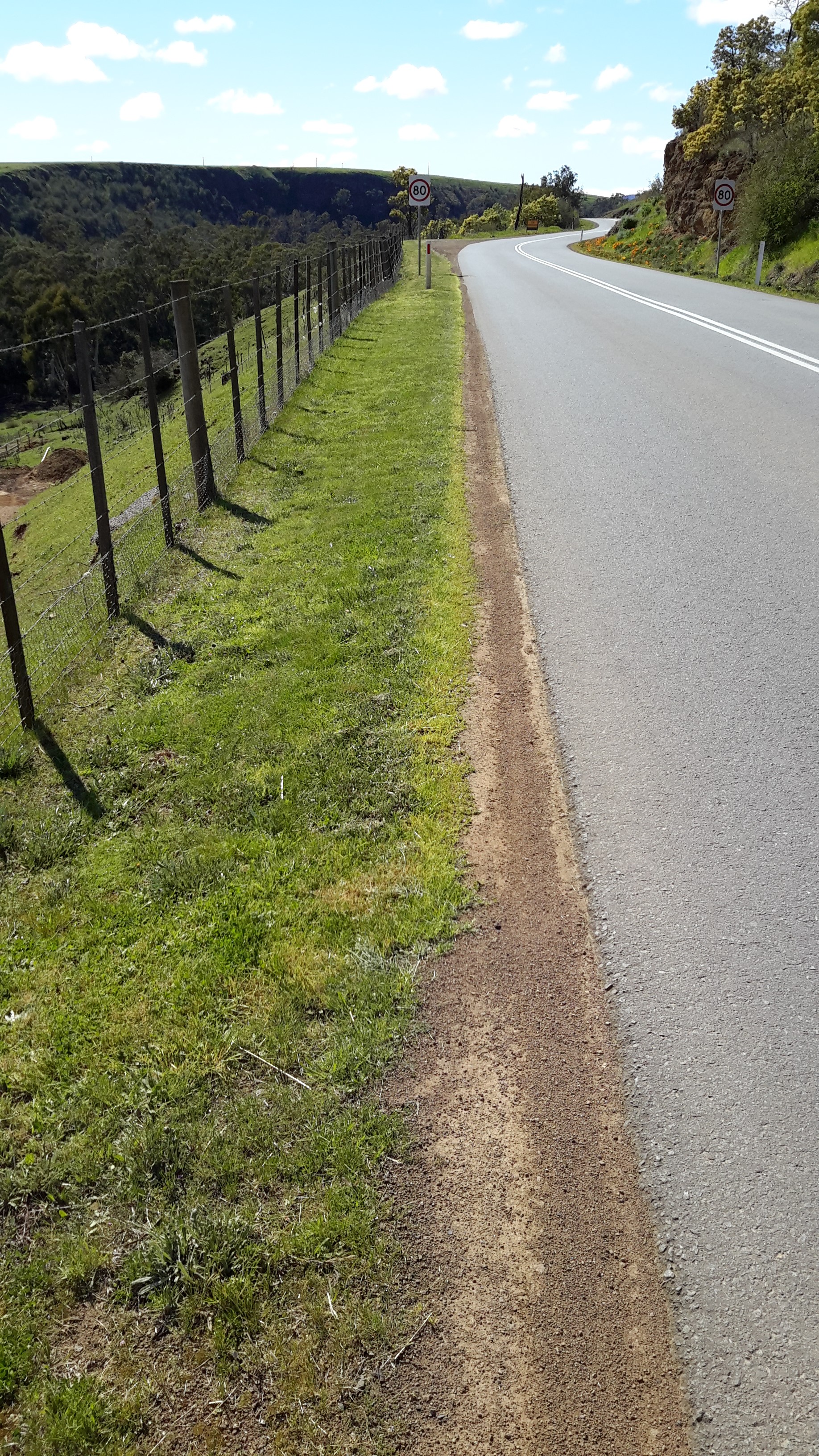
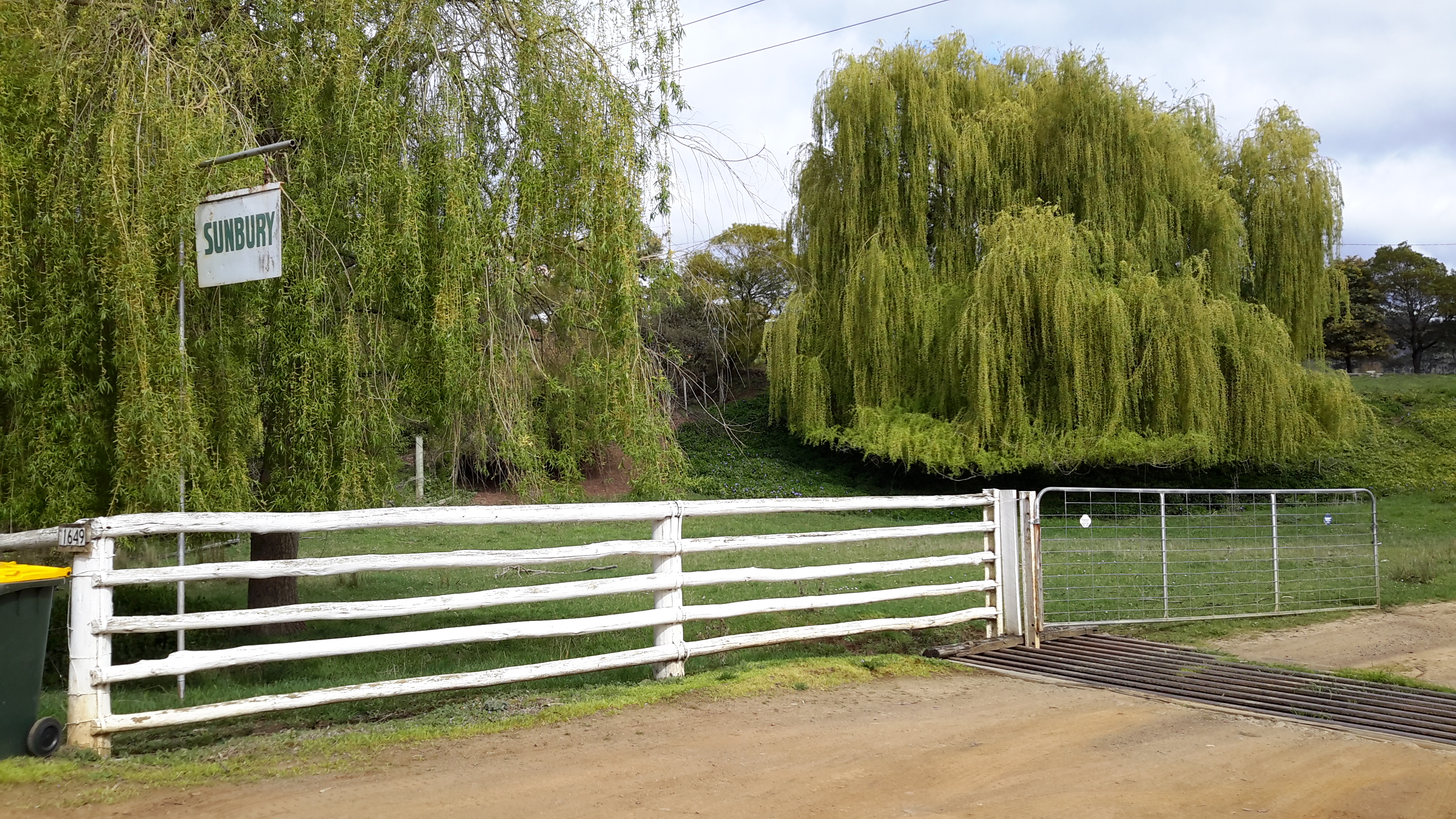
The shuffling walk down 1 Acre Lane with the wheelie bins was well worth it. The old lady answered my many questions before she continued on to her house when I stopped to admire the first of many extraordinary buildings.

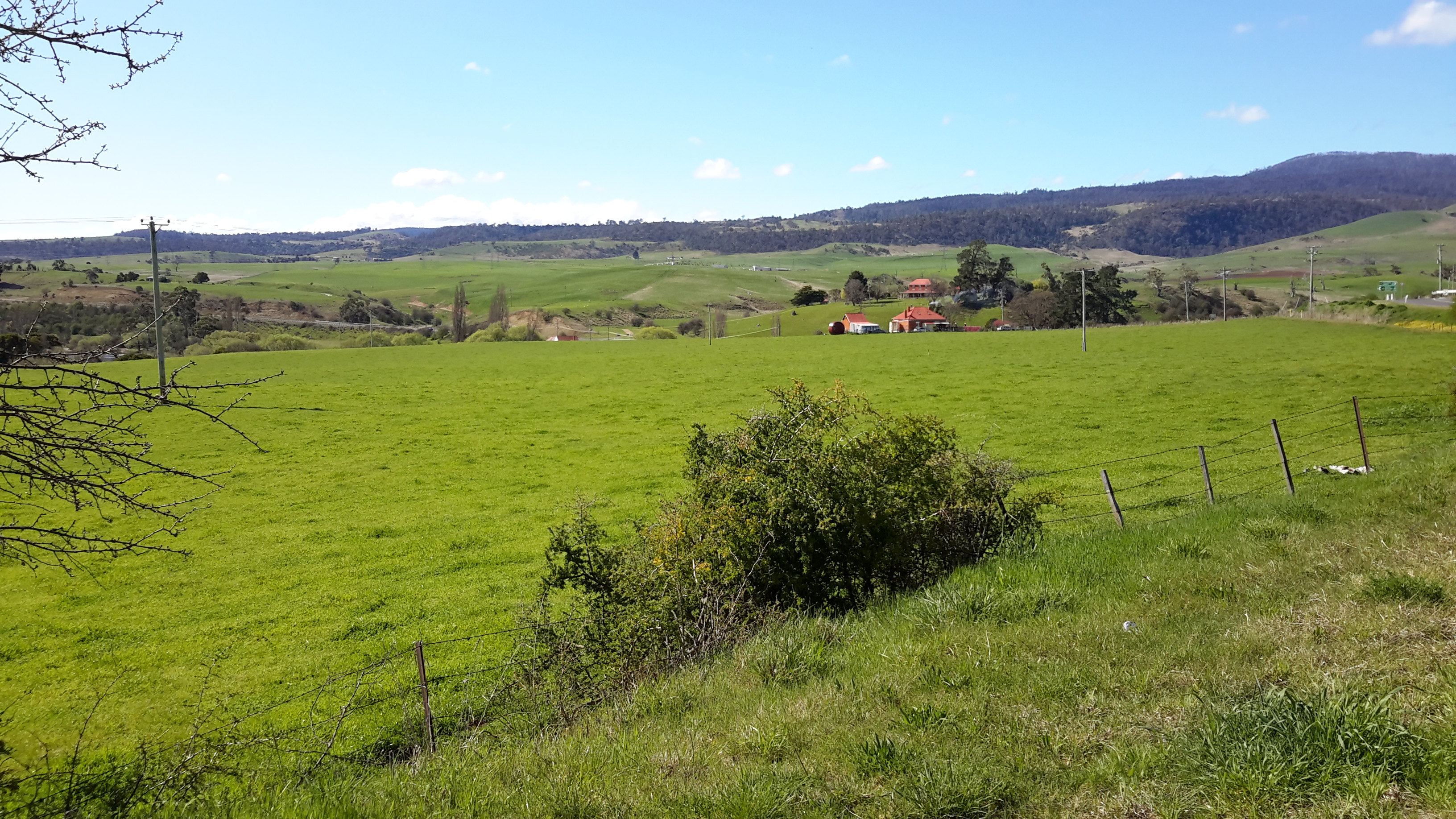
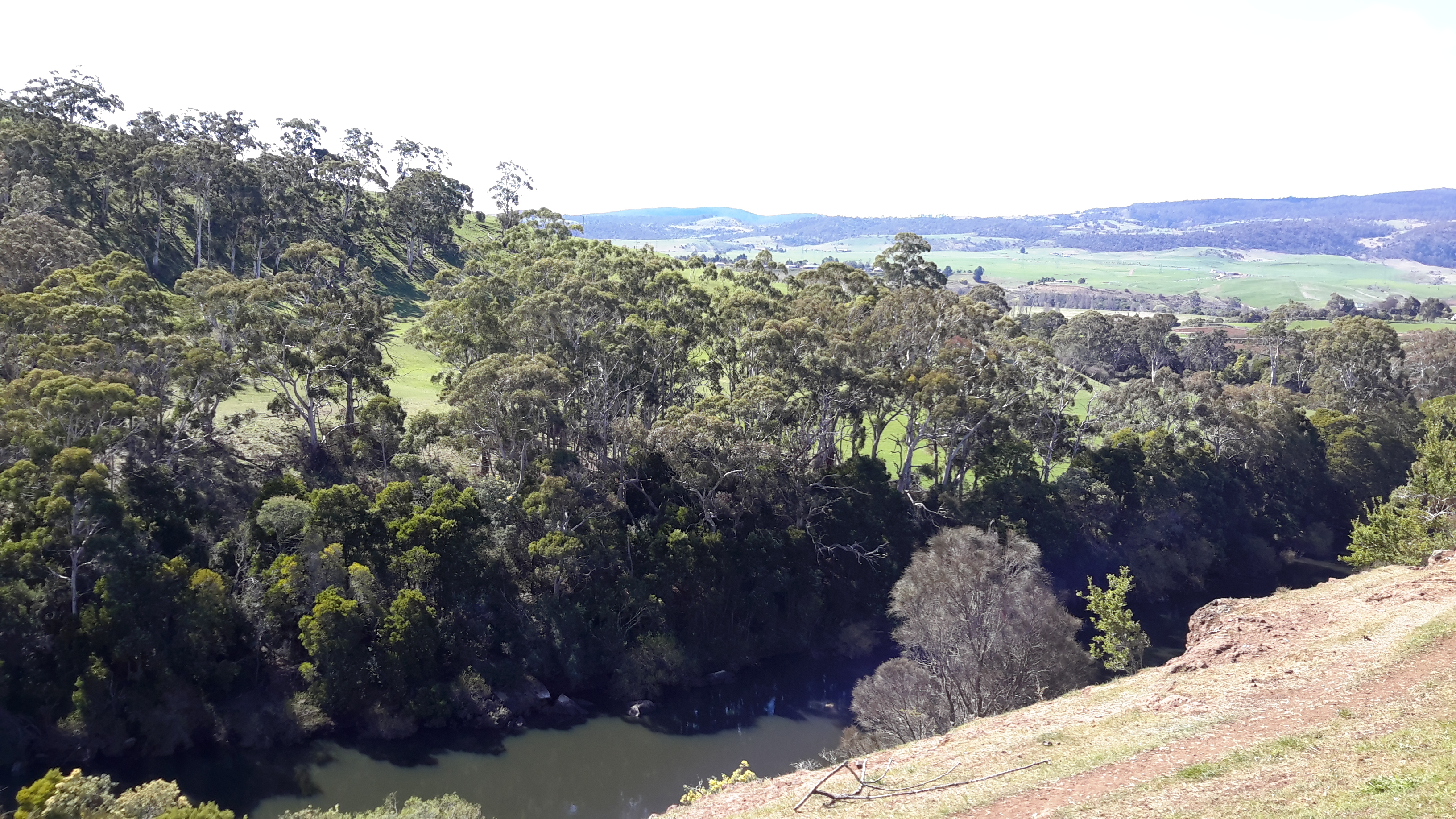
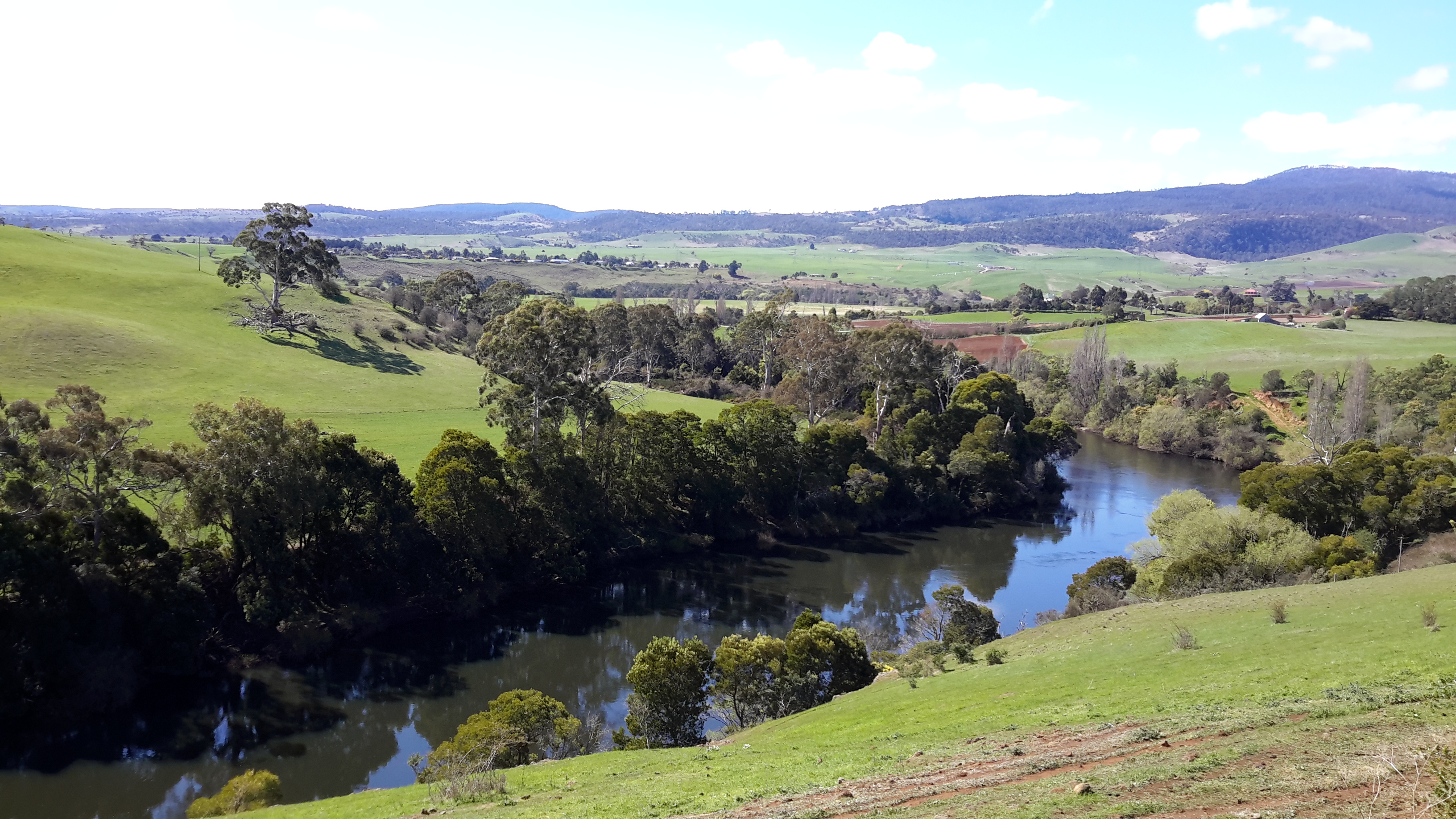
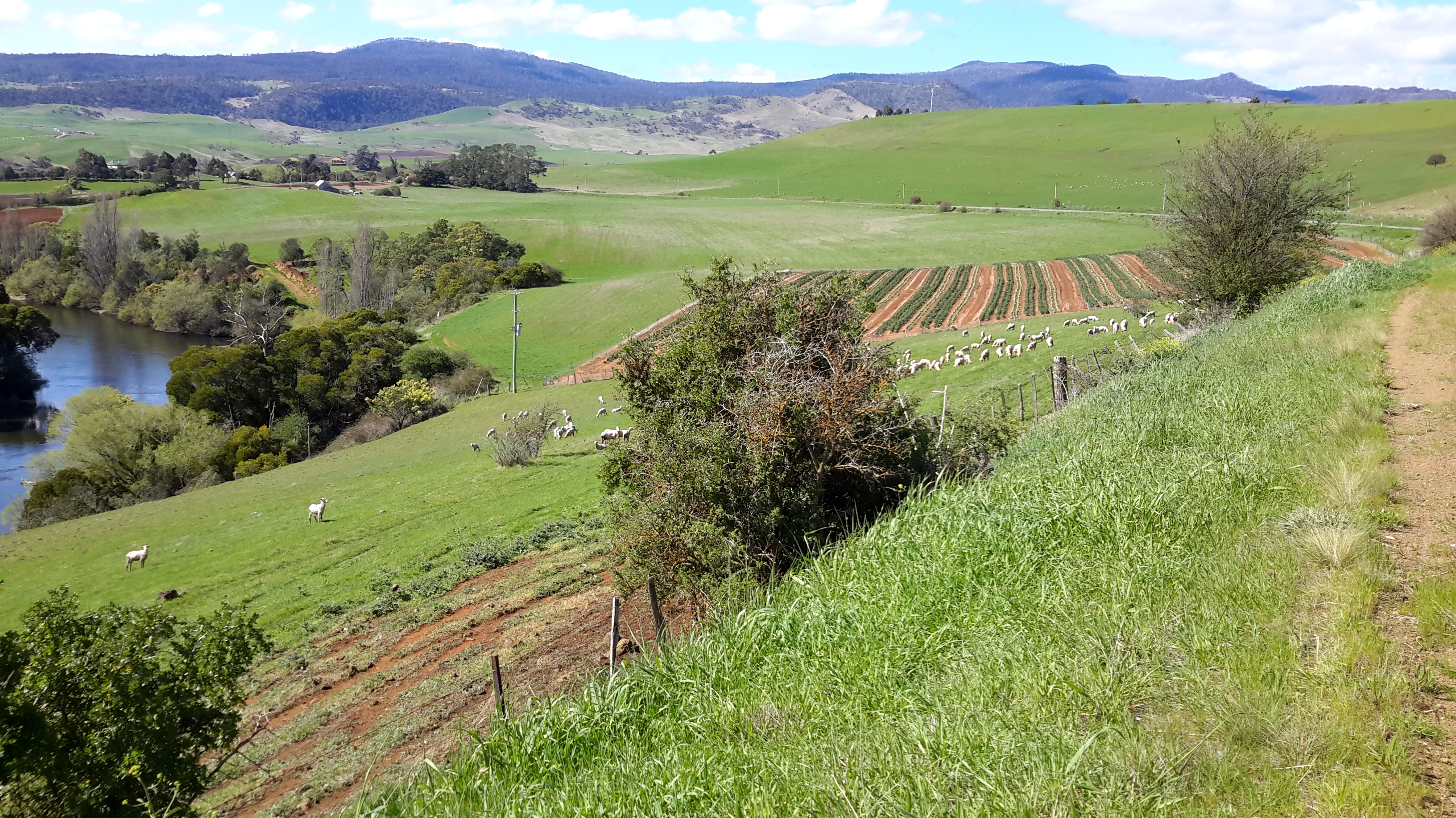
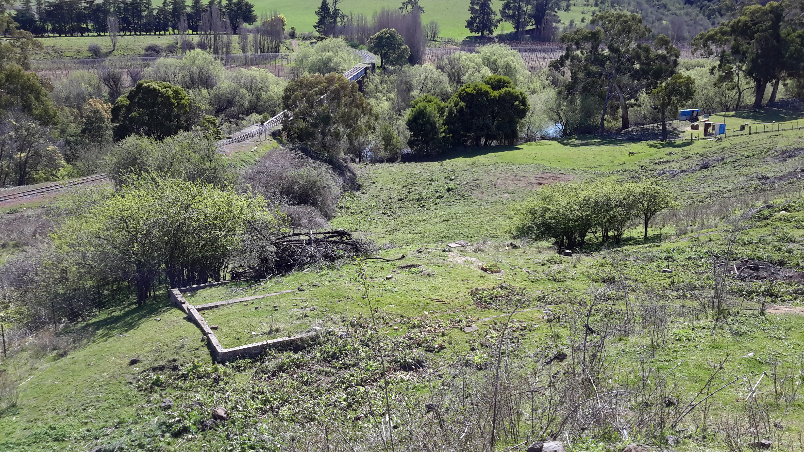
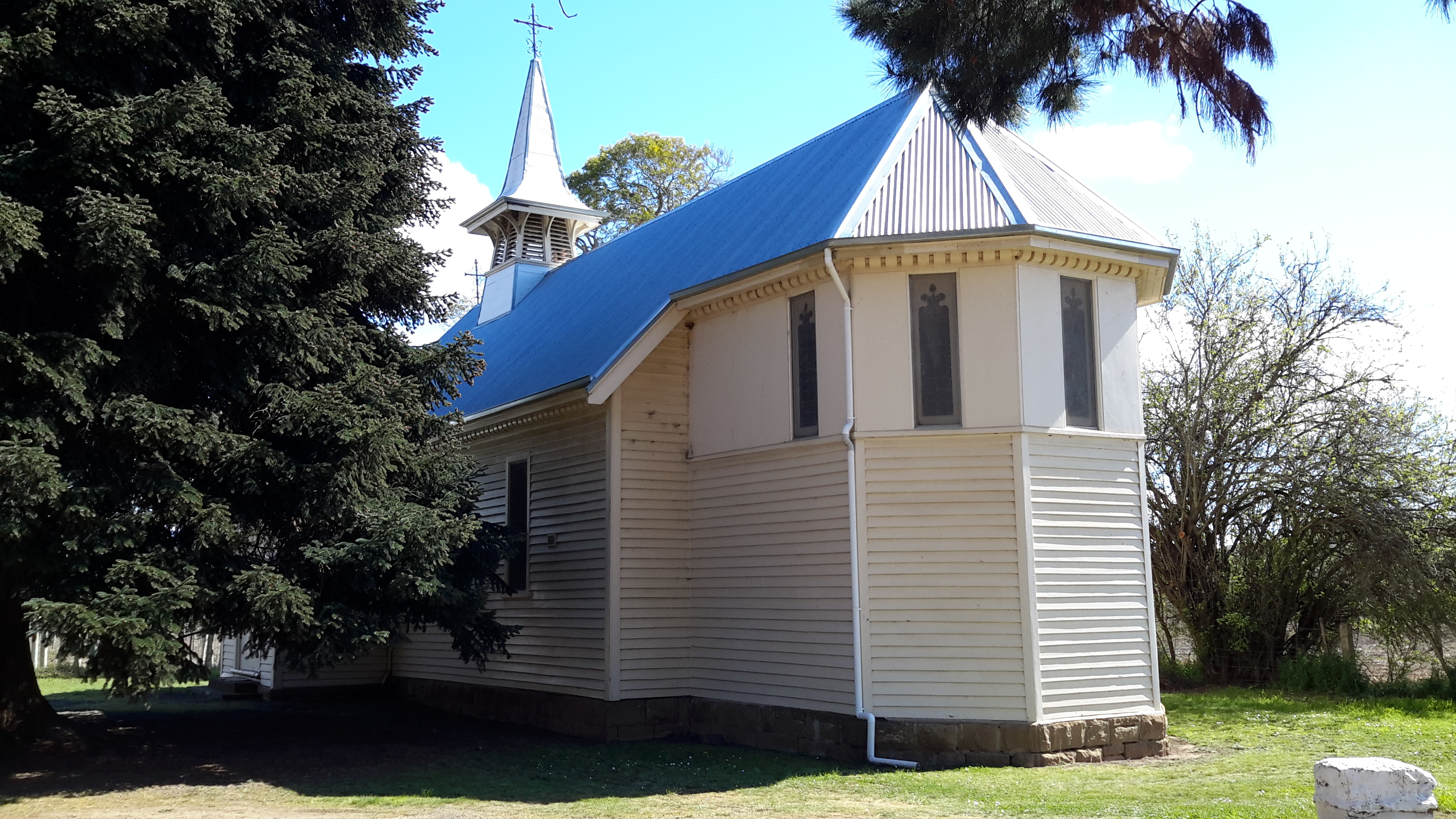
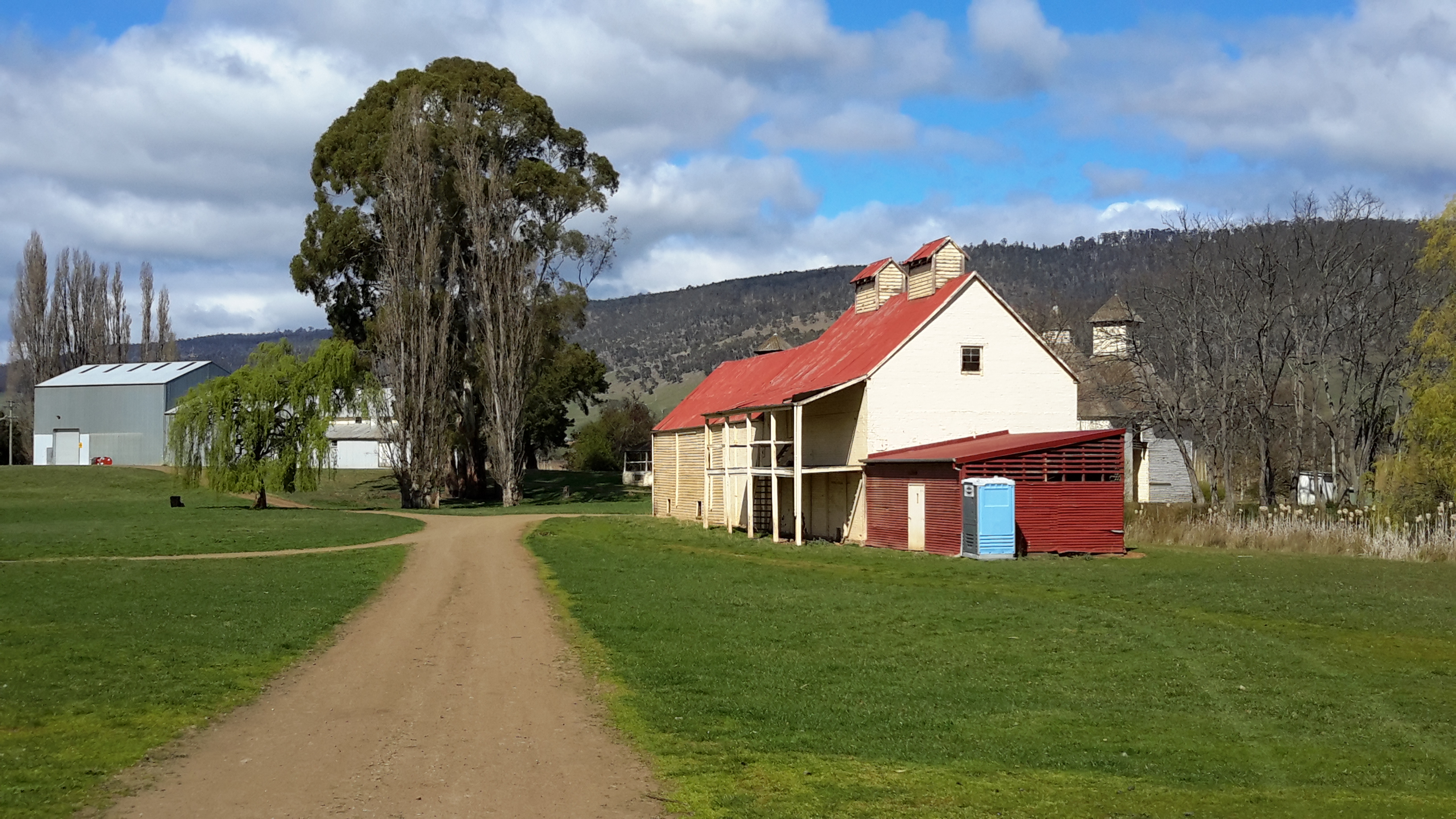
When I look back over this two day walk along the Derwent River, finding an historic precinct at the end of a dusty lane was my greatest joy.  An absolute treasure.  In Europe such a place would attract hundreds of coaches disgorging thousands of people each day to visit. Yet in Bushy Park Tasmania, I was the only visitor. Extraordinary. Some of my blog followers are brilliant photographers and would, if they visited, create amazing pictures.  I hope my photos are sufficient to whet everyone’s appetite for a visit and to have their own experience of this historic site.

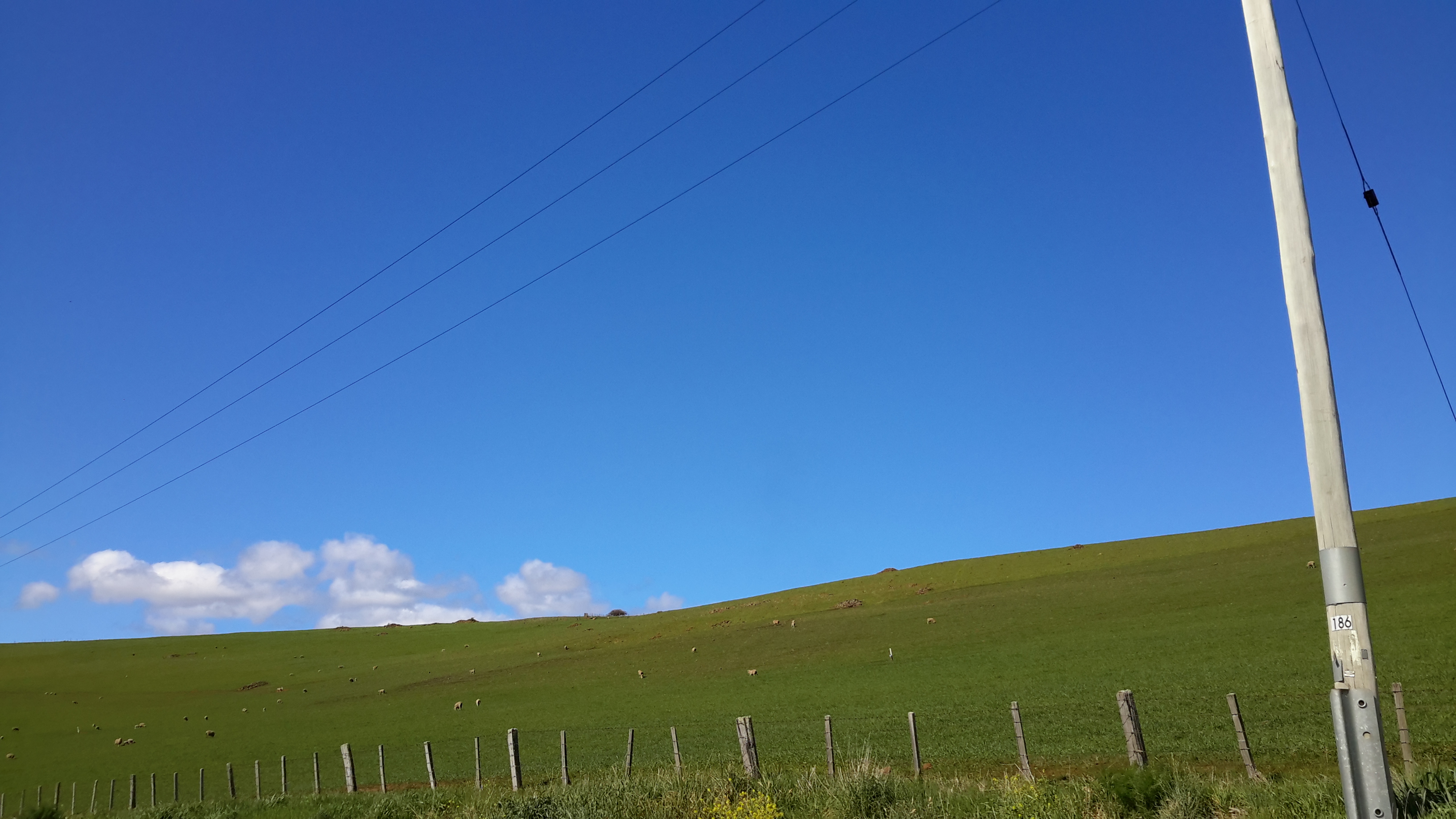
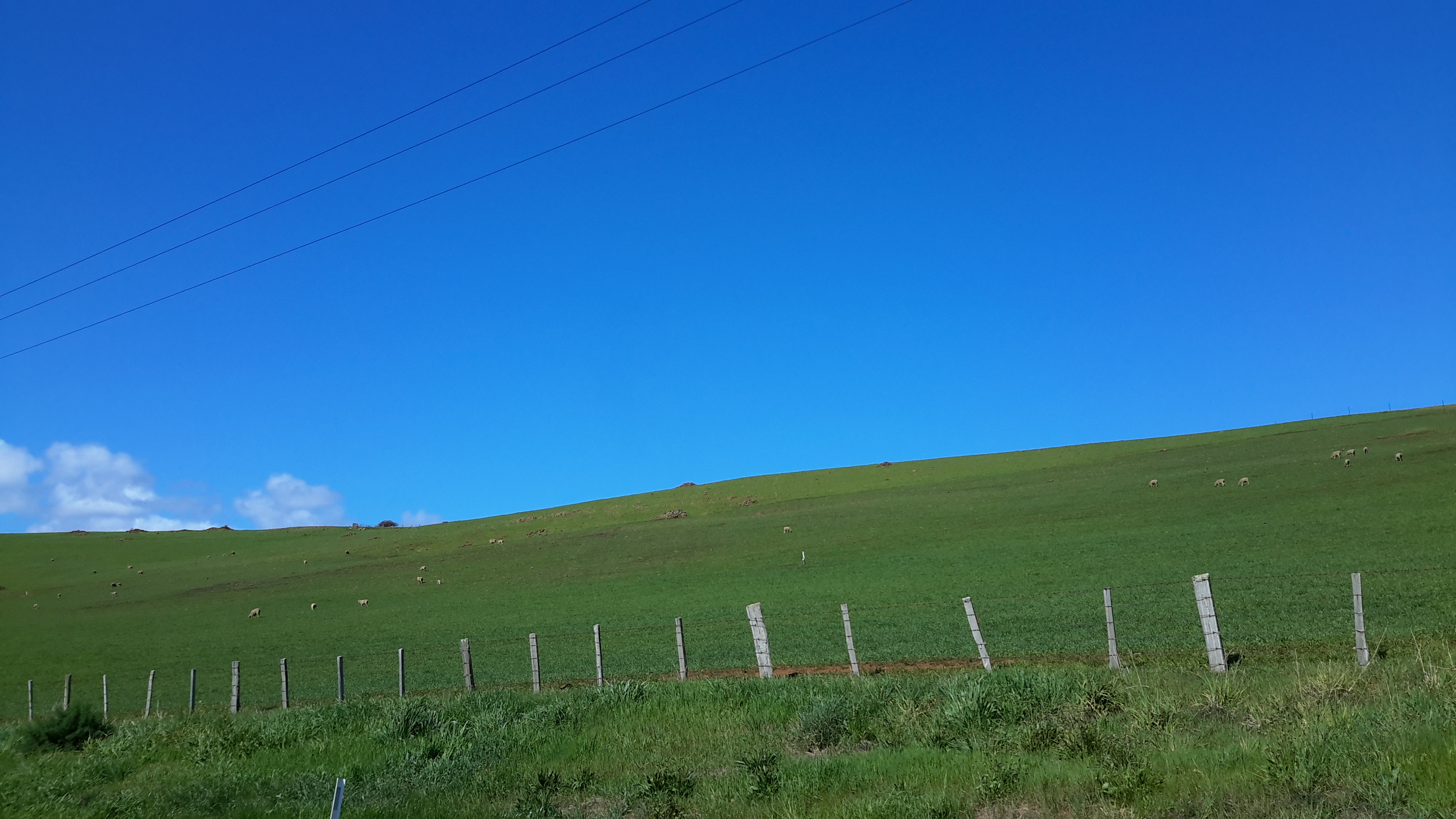
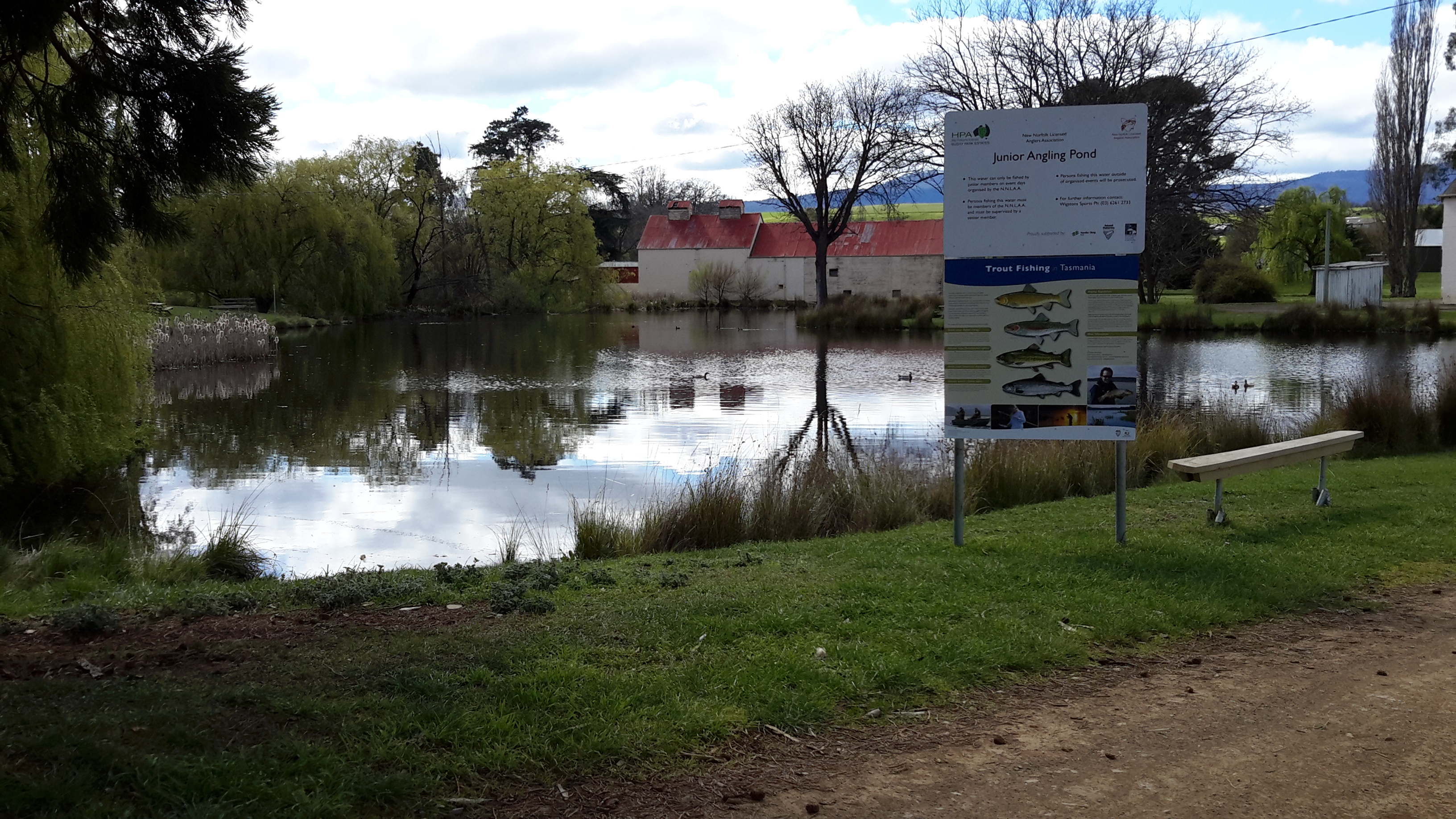
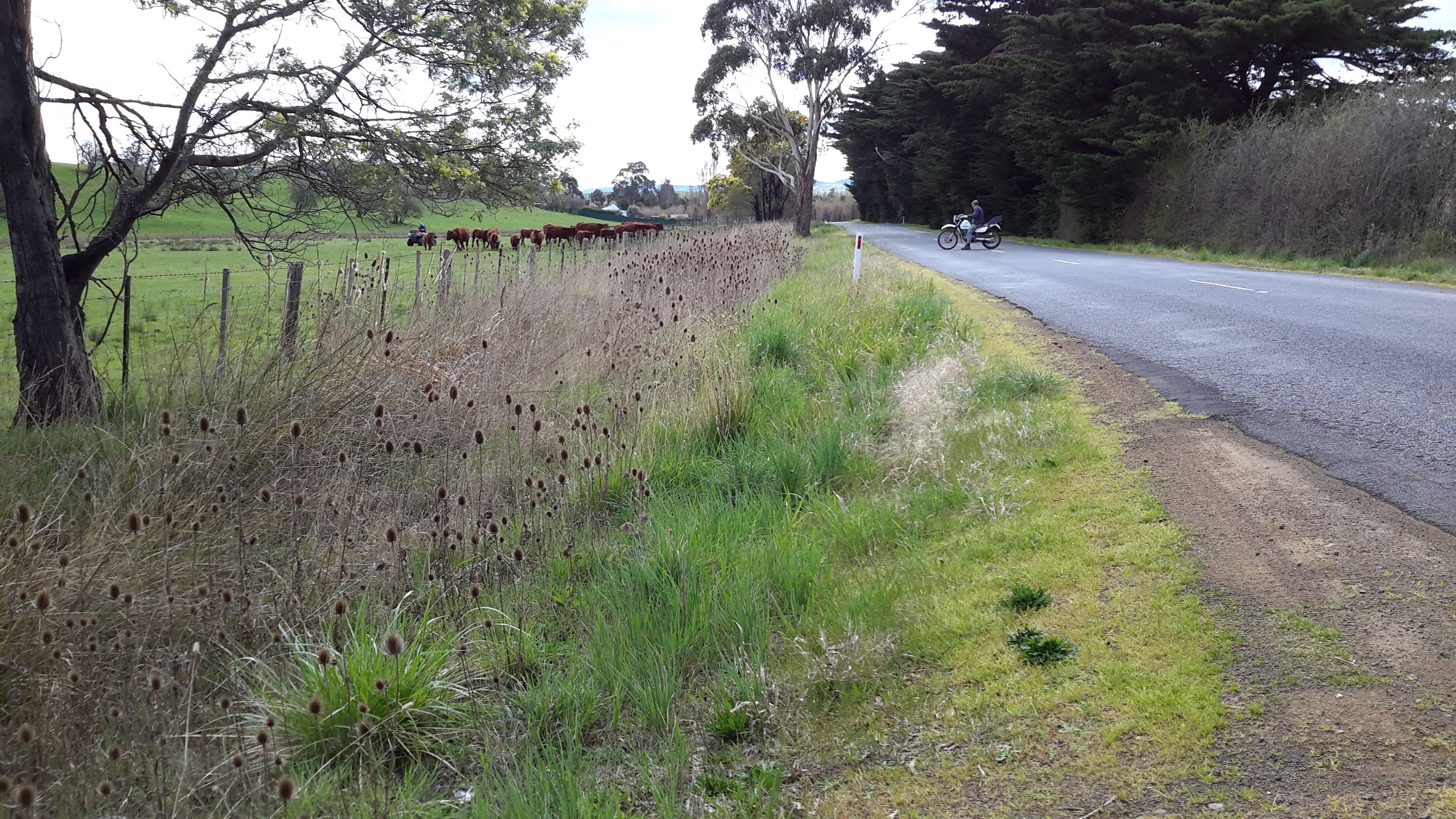
The precinct contains an innovative and more recent initiative – a Junior Angling Pond.  Perhaps fishing is the main hobby of locals and what better way to lure new devotees than to offer children their own safe experience.

20150918_110949 20150918_110931

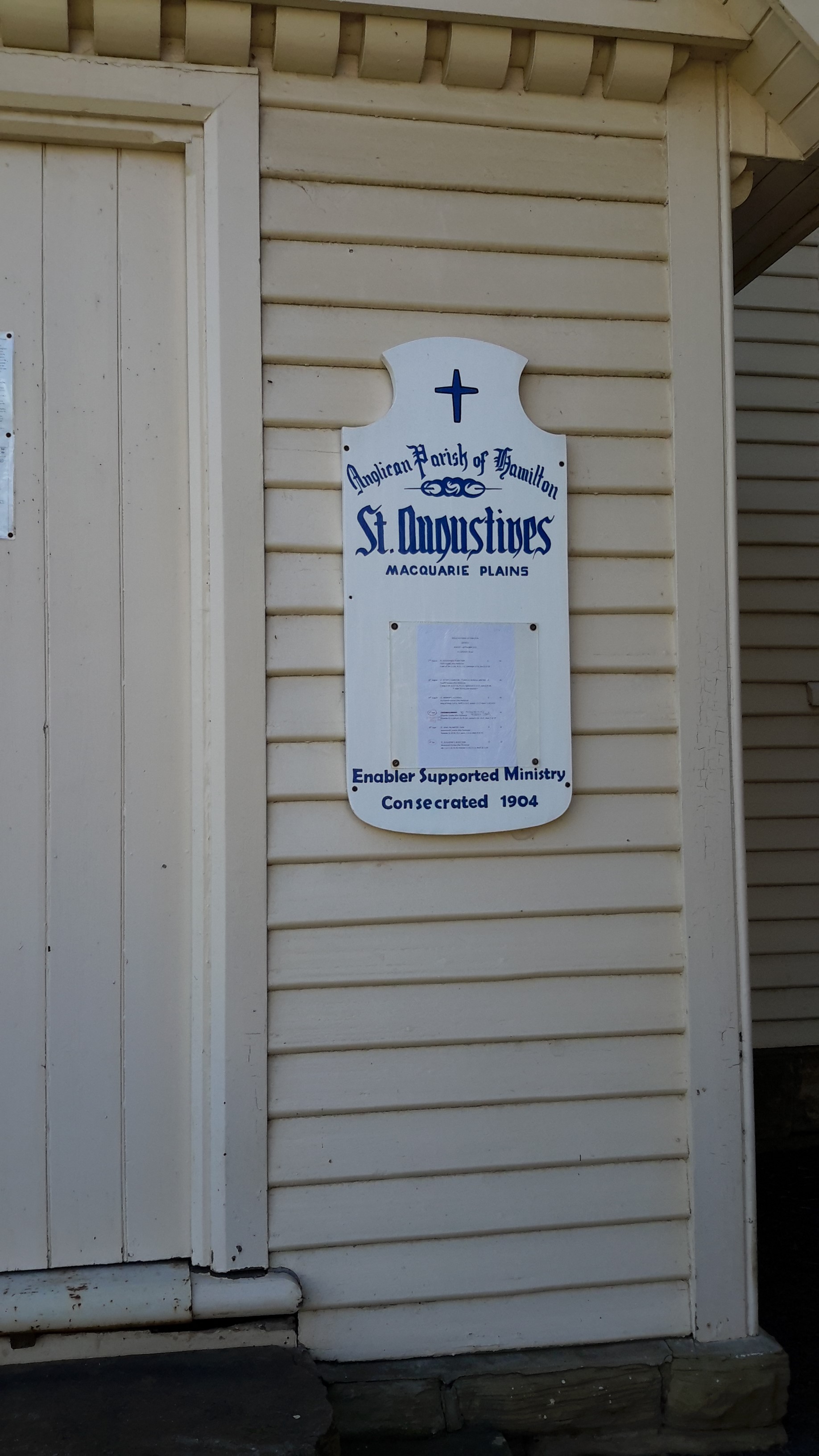
The buildings had no or limited signage, therefore identifying the purpose of most was impossible for me.

20150918_110540 20150918_111534

20150918_111352 20150918_111015

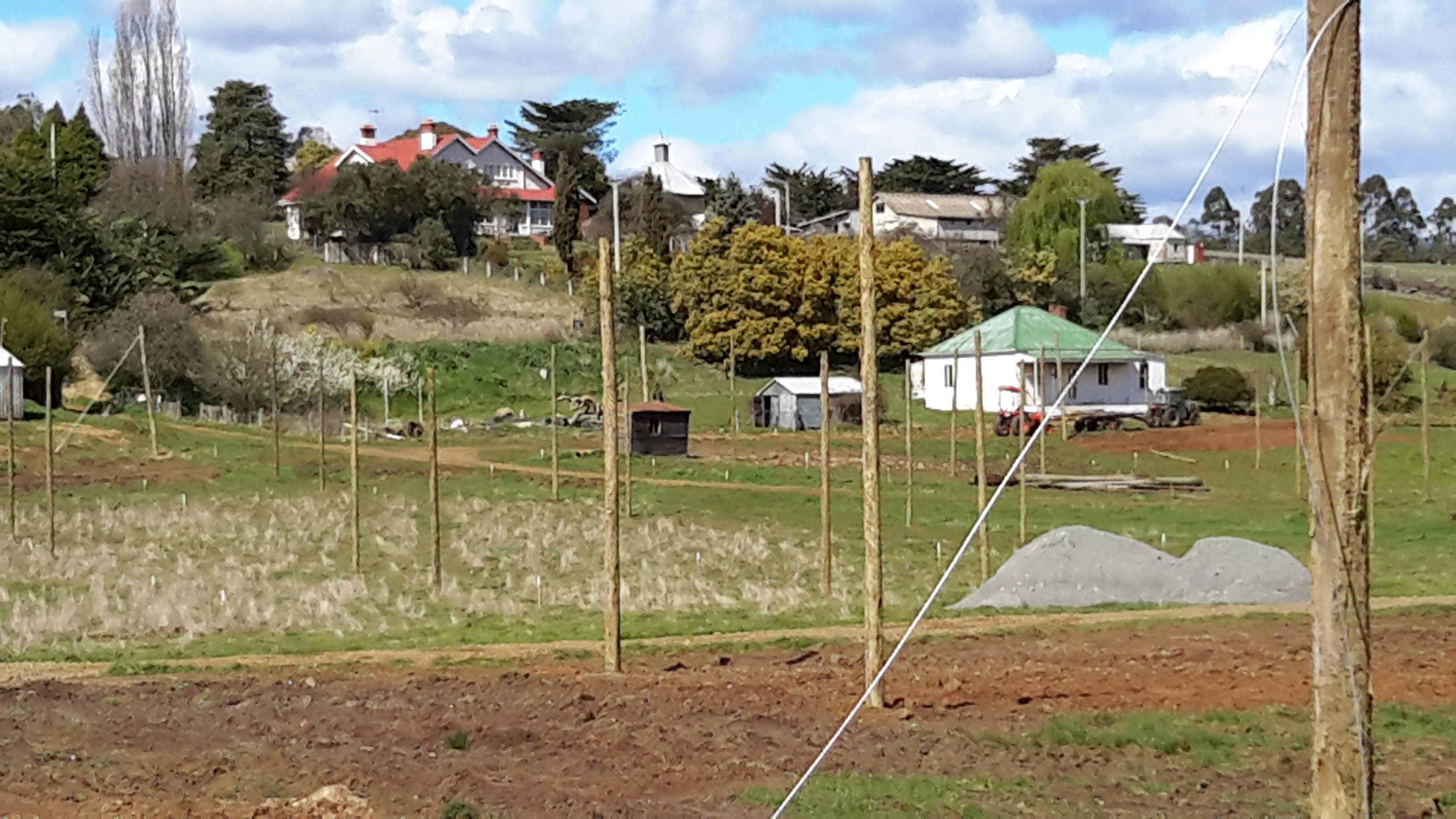
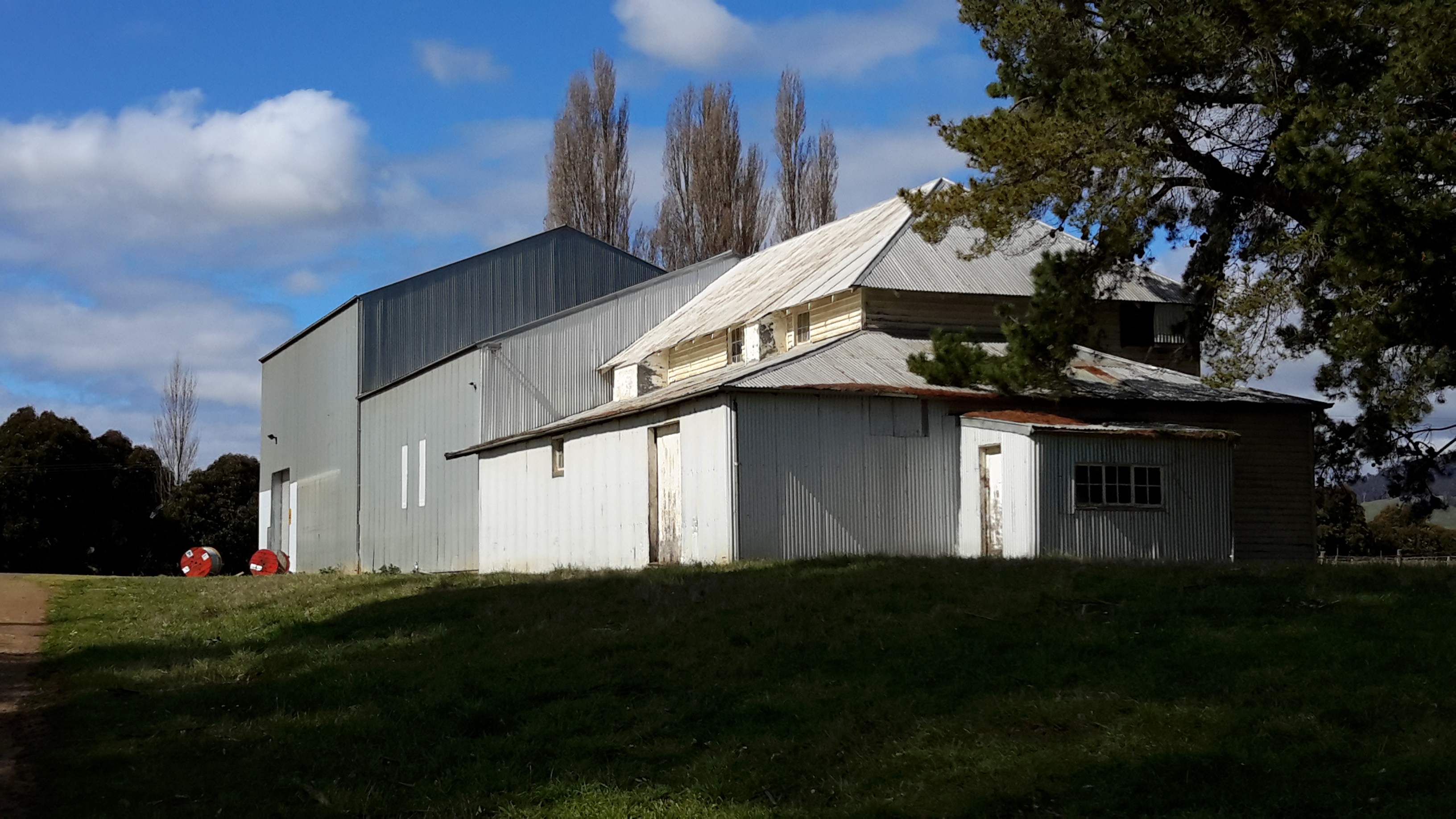
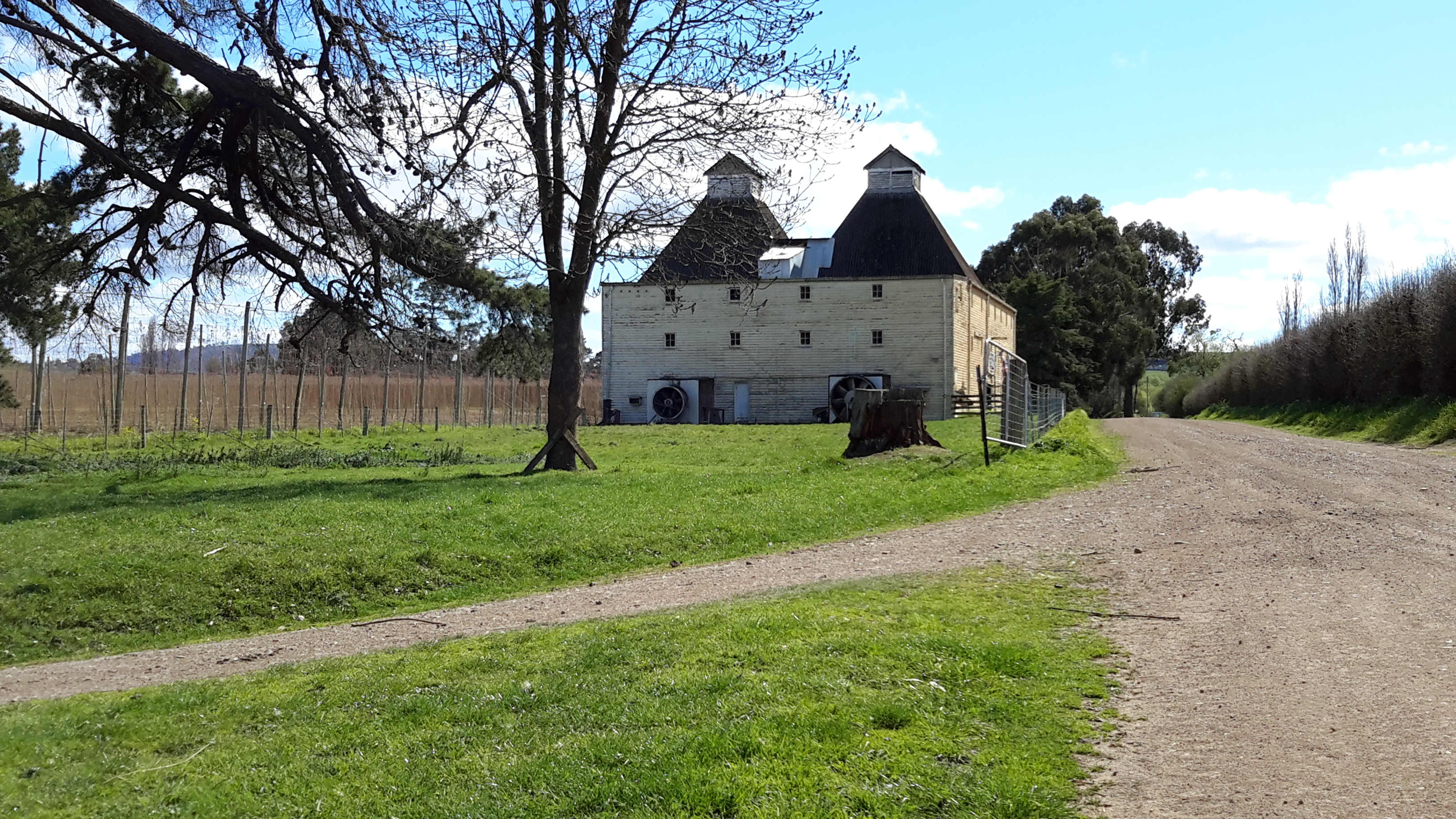
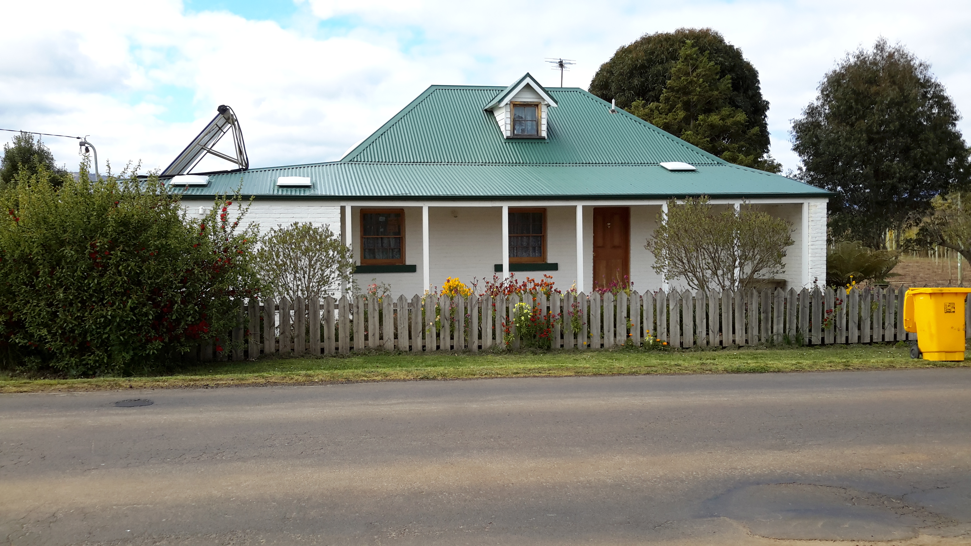
The photo below looks like a large unusual house but apparently this was the bakery feeding the hundreds of workers involved with the hop industry in the past.

20150918_110919 20150918_111059

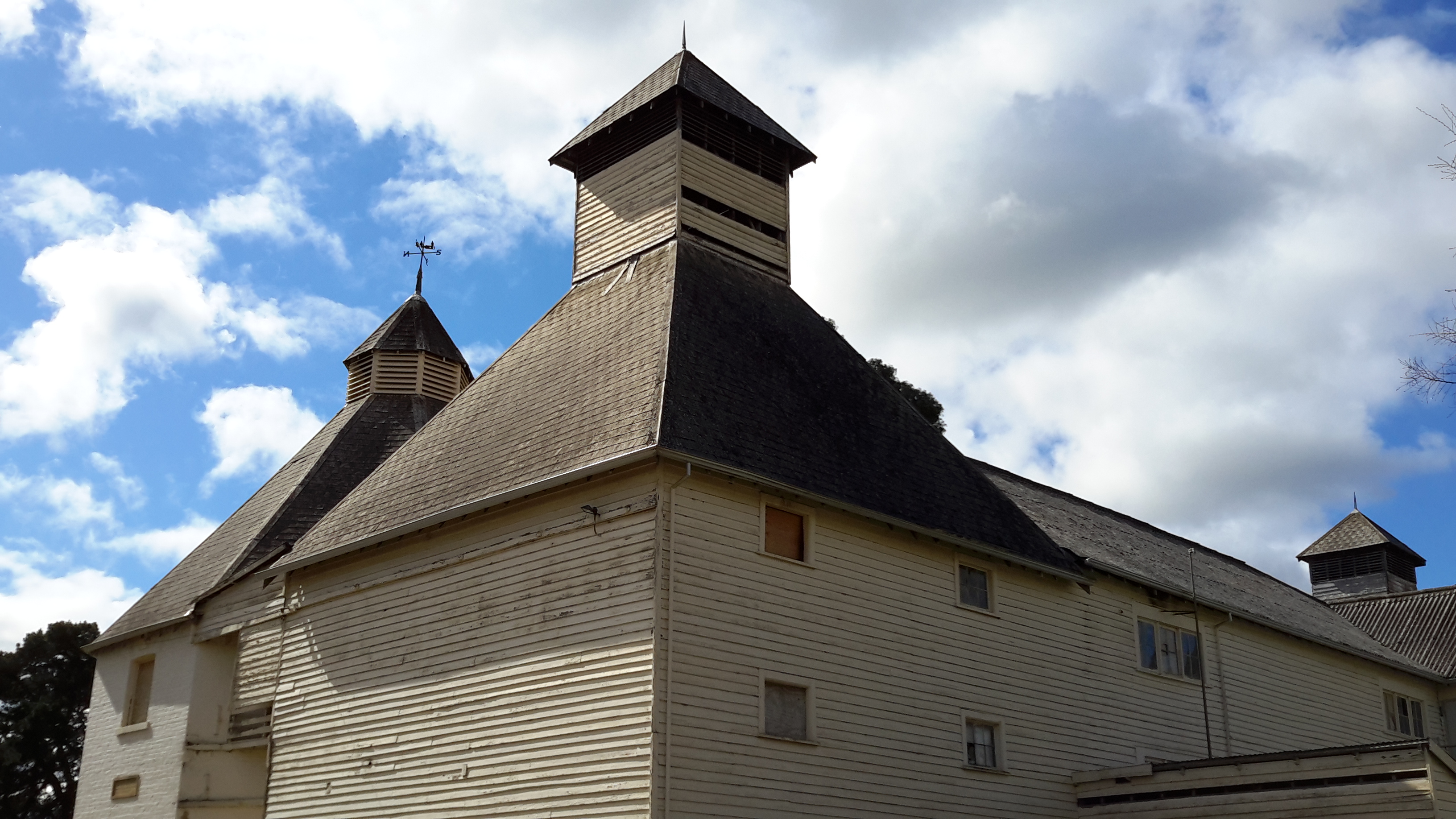
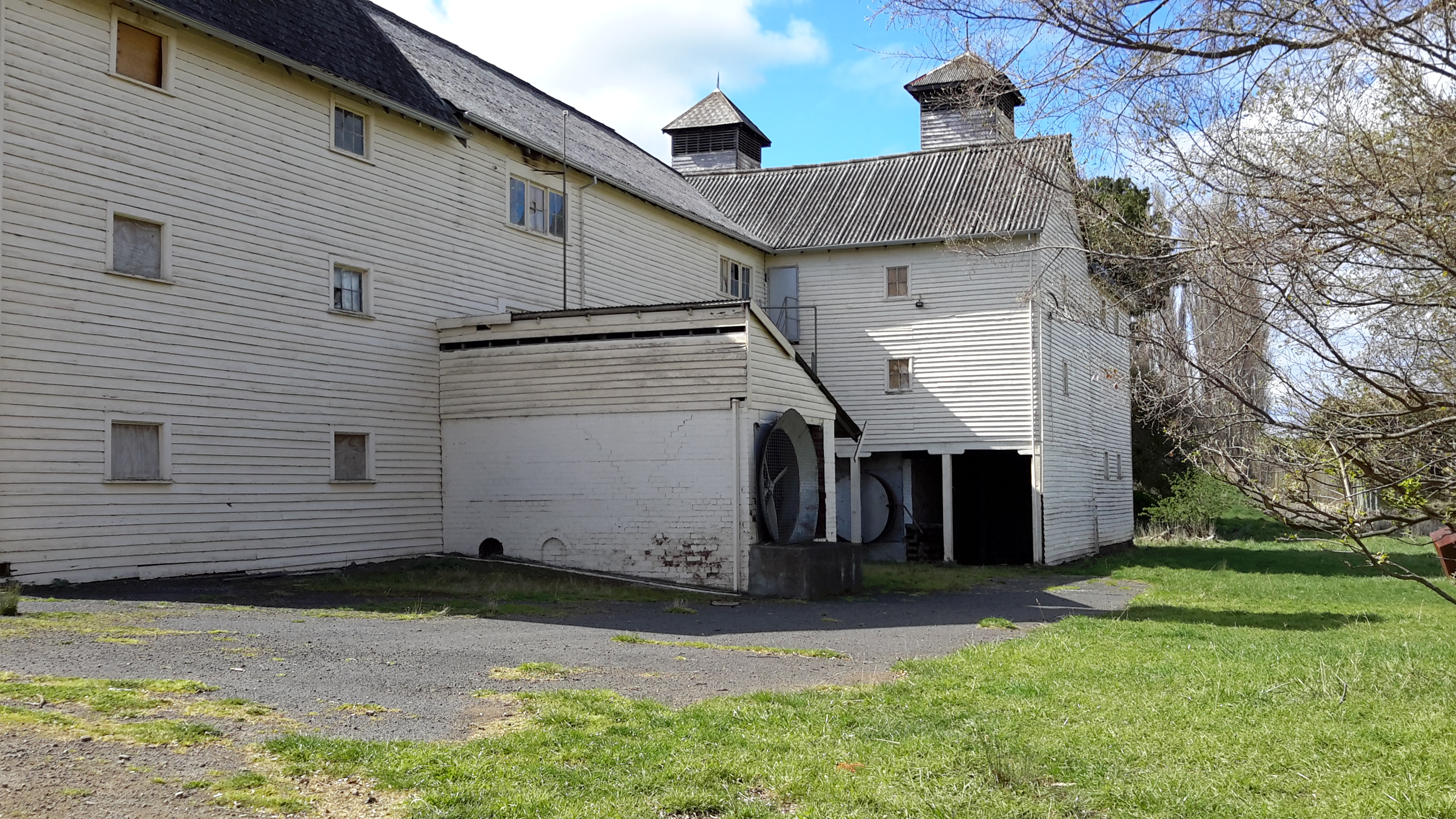
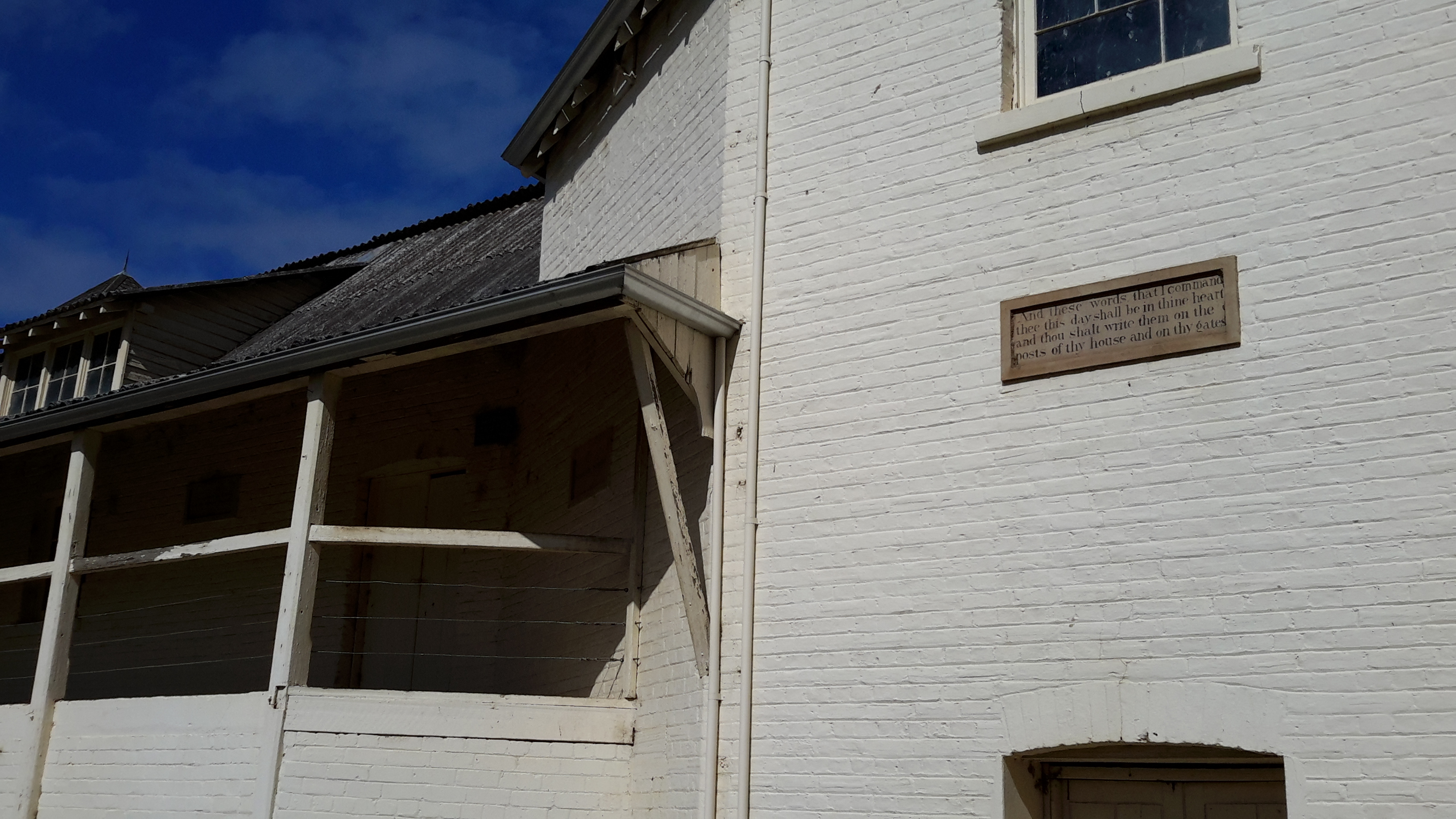
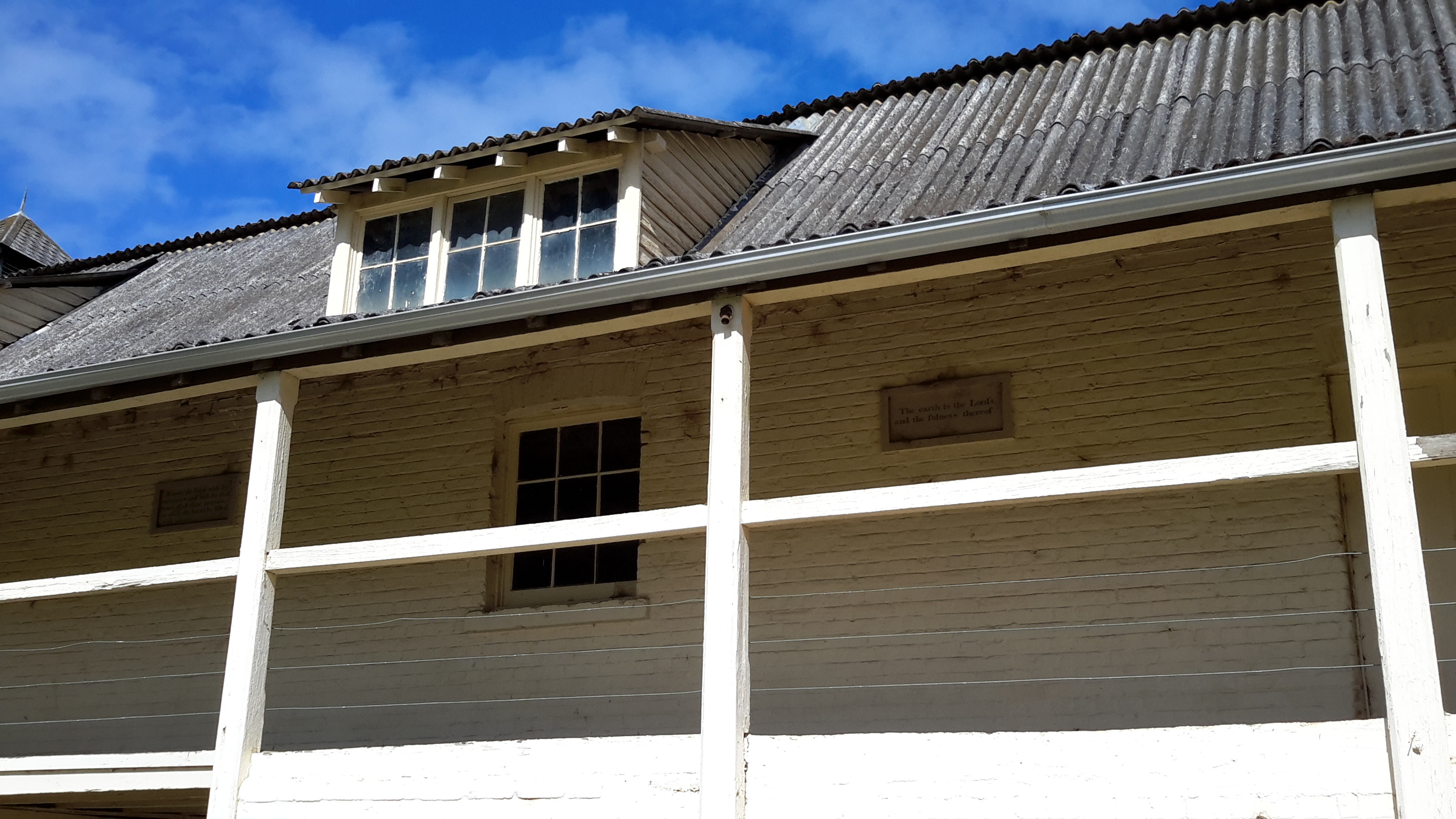
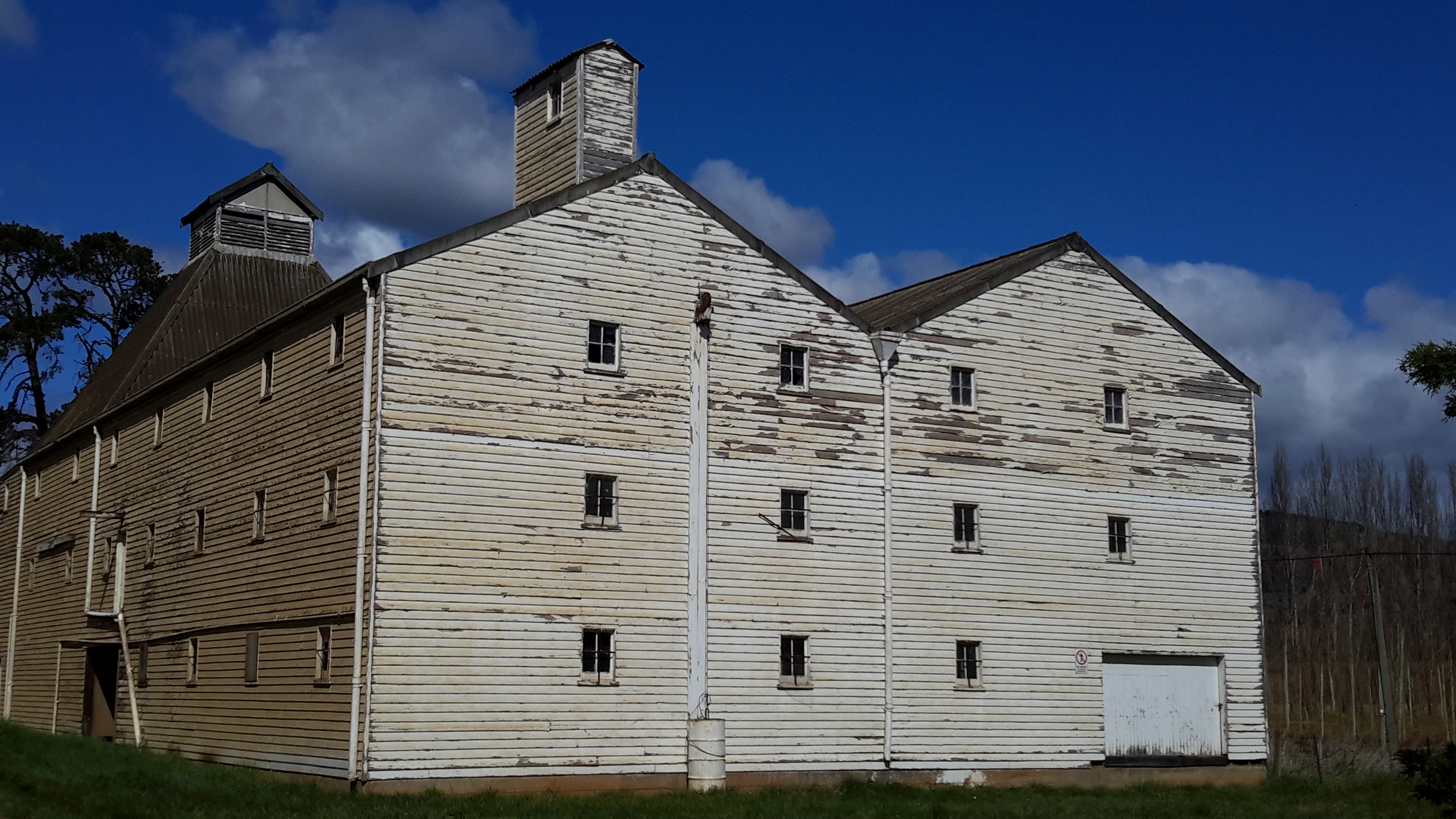
The most surprising structure was, what is now known as, the Text Kiln, built in 1867. As I approached the building I did not know this name or the year. Immediately I loved the shapes of the structures then suddenly I was stunned see a sandstone plaque embedded high up on a wooden wall. This was a biblical text.  And nearby was a second text. My mouth dropped open; I wrinkled my forehead and shook my head.  What am I seeing? What is going on here? In this remote location, clearly the early hop growers placed a great deal of importance on the Christian scriptures. I wondered if this text indicated a puritanical god-fearing way of living in the 19th century in Bushy Park. What was that community like?

20150918_111152 20150918_111201

20150918_111250  20150918_111239

Beneath a window one text offers: ‘God so loved the world that he gave his only begotten son that whosoever believeth in him should not perish but have everlasting life’.  In a triangular alley another plaque exhorts us to ‘Have faith in God’.

As I walked around the building, I saw many more texts .

20150918_111239 20150918_111338 20150918_111400 20150918_111441 20150918_111521 20150918_111605

In all, approximately 13 different texts exist on three sides of this magnificent building.

20150918_111648 20150918_111752

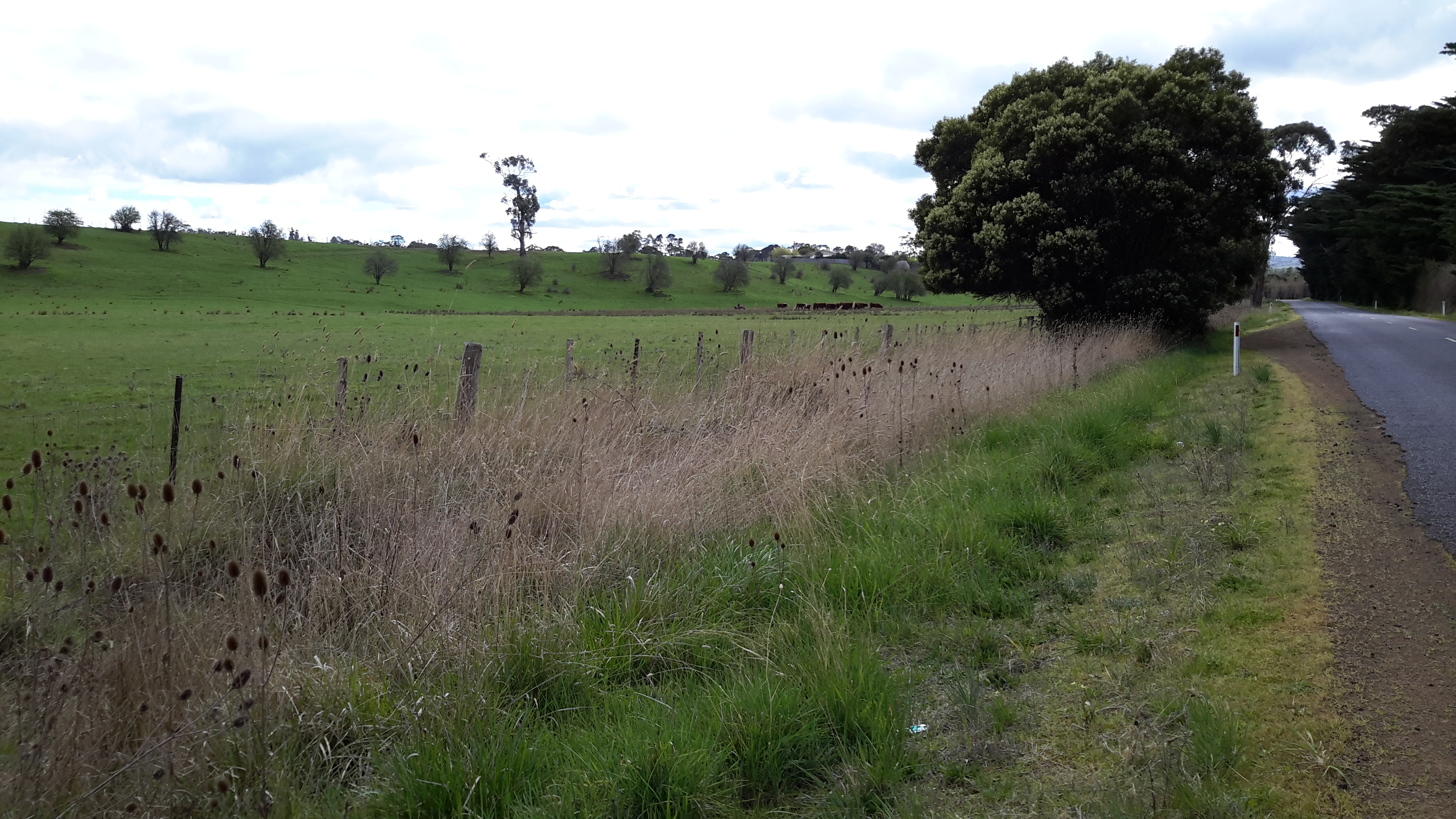
Eventually I left the Text Kiln and wandered further around the precinct.

20150918_111923

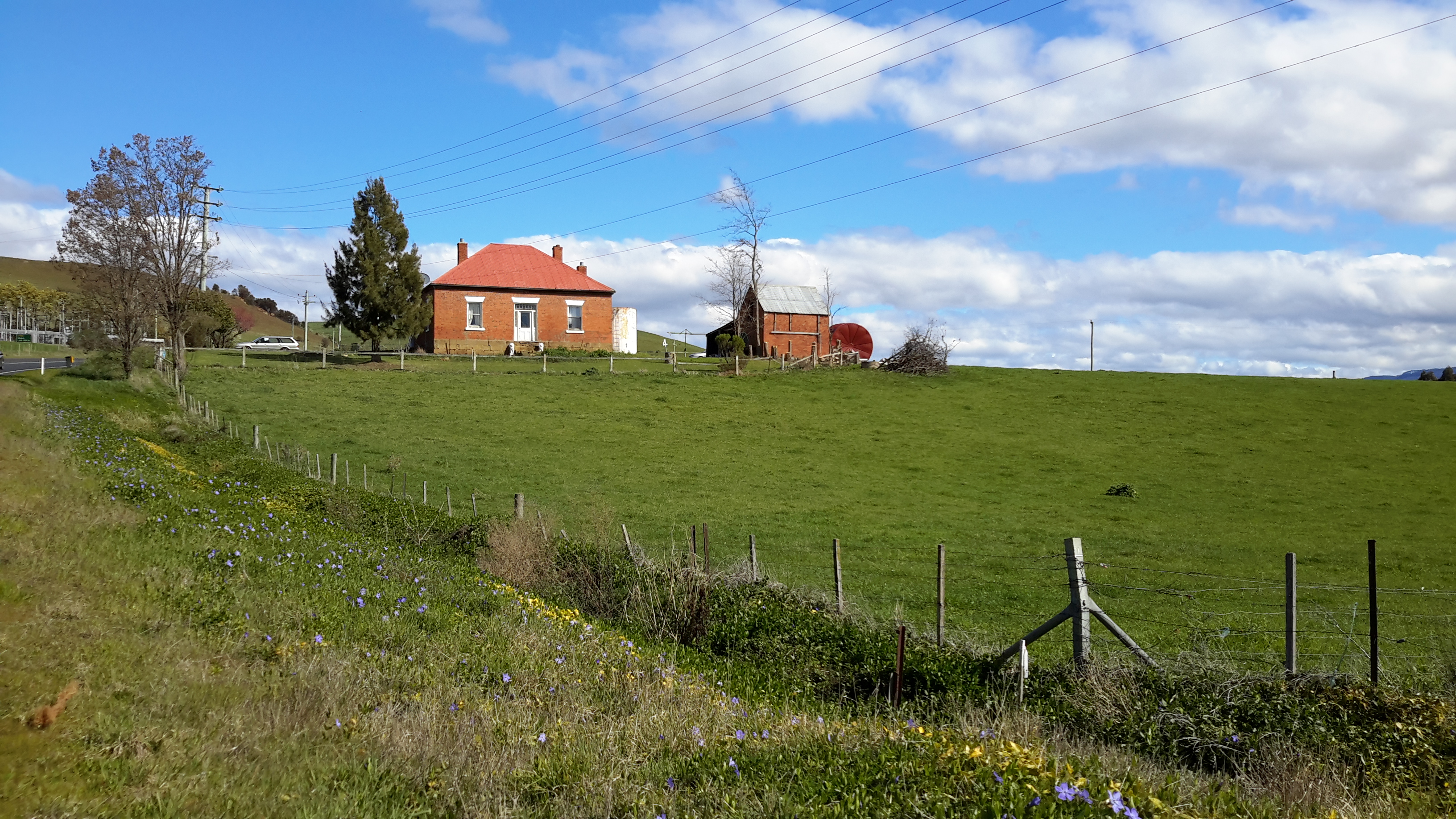
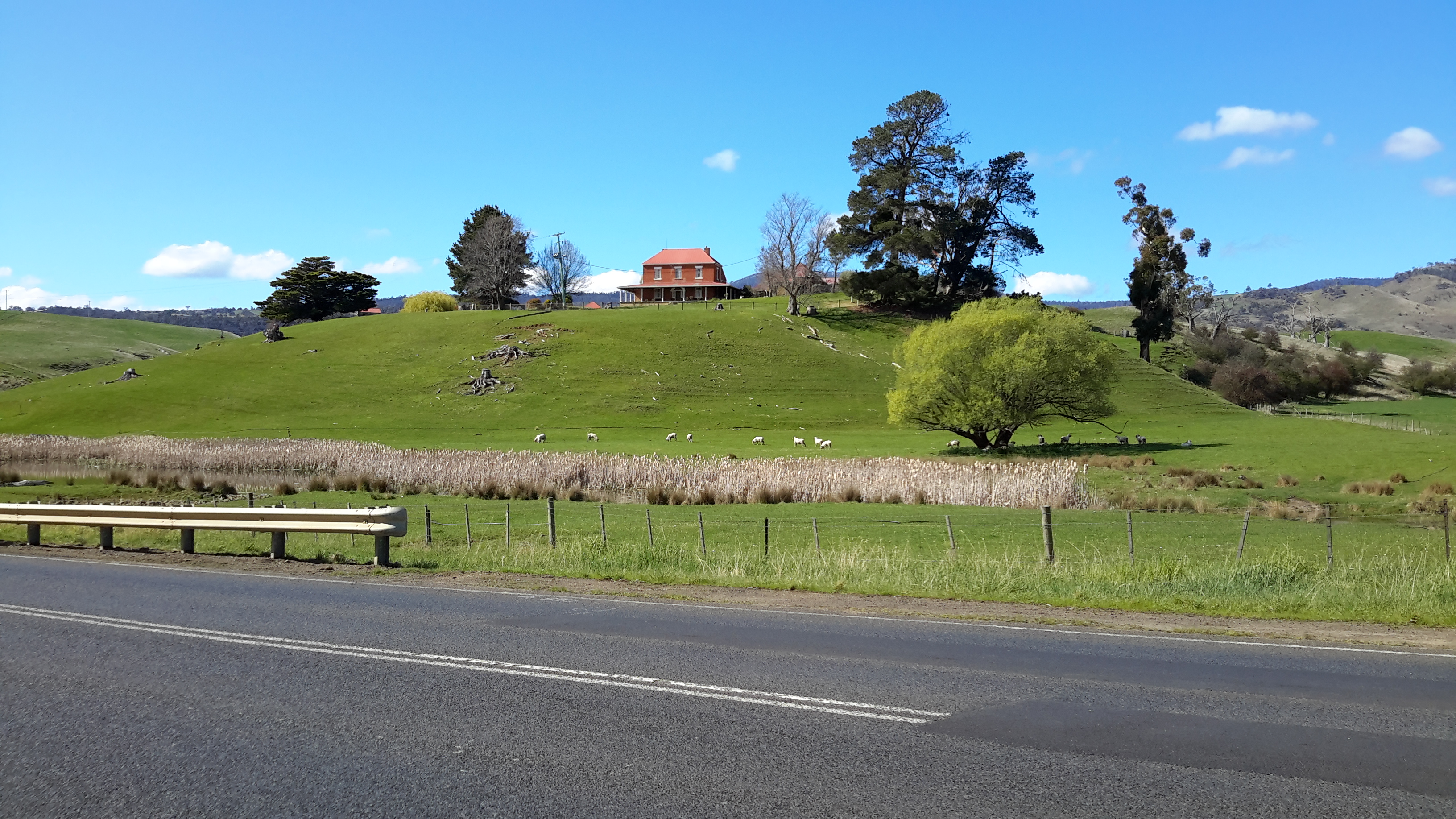
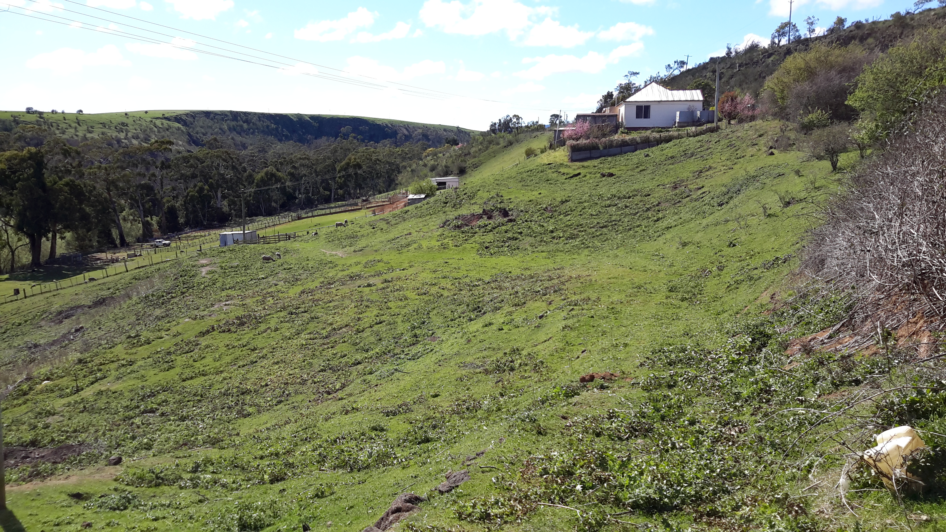
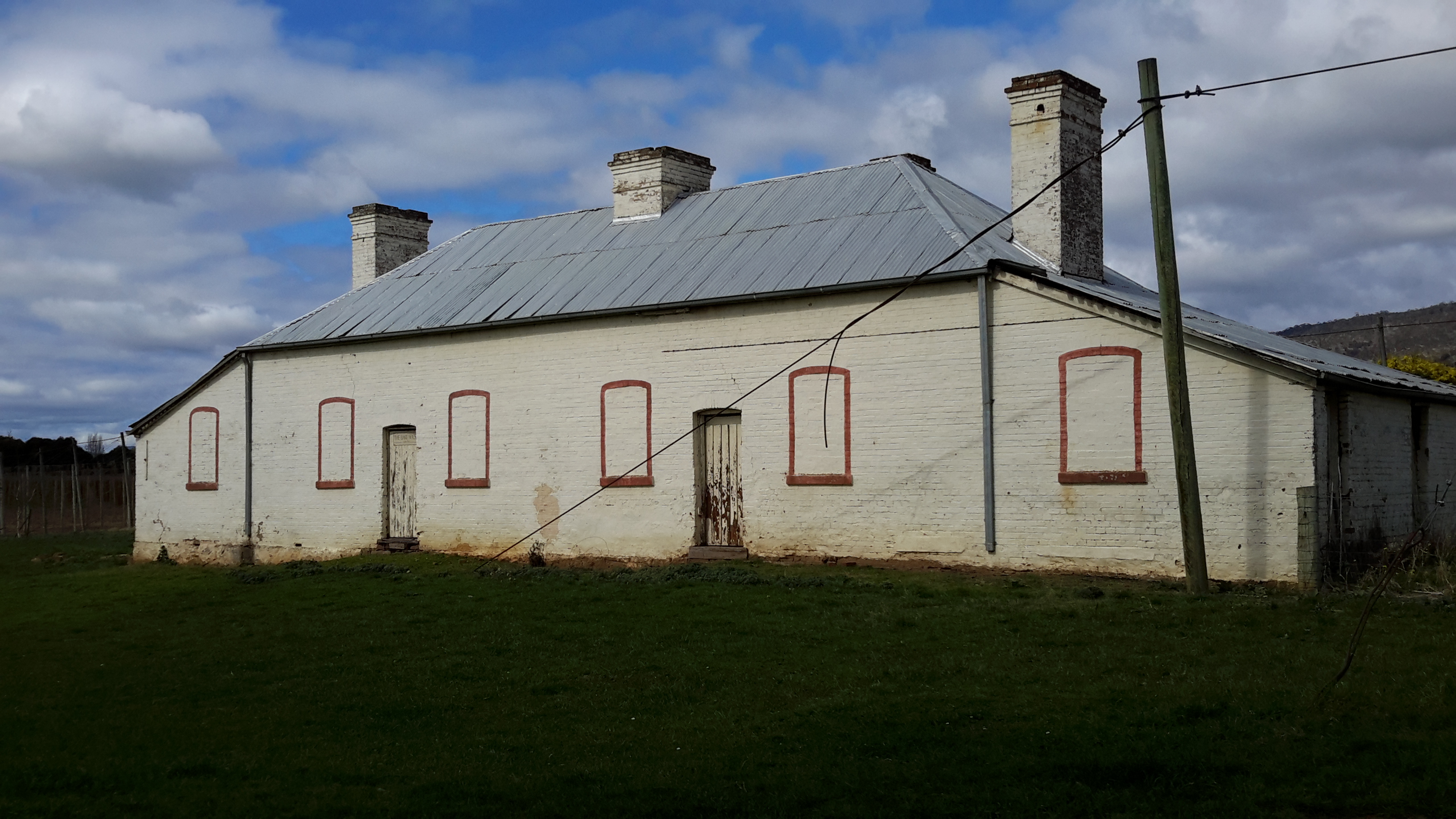
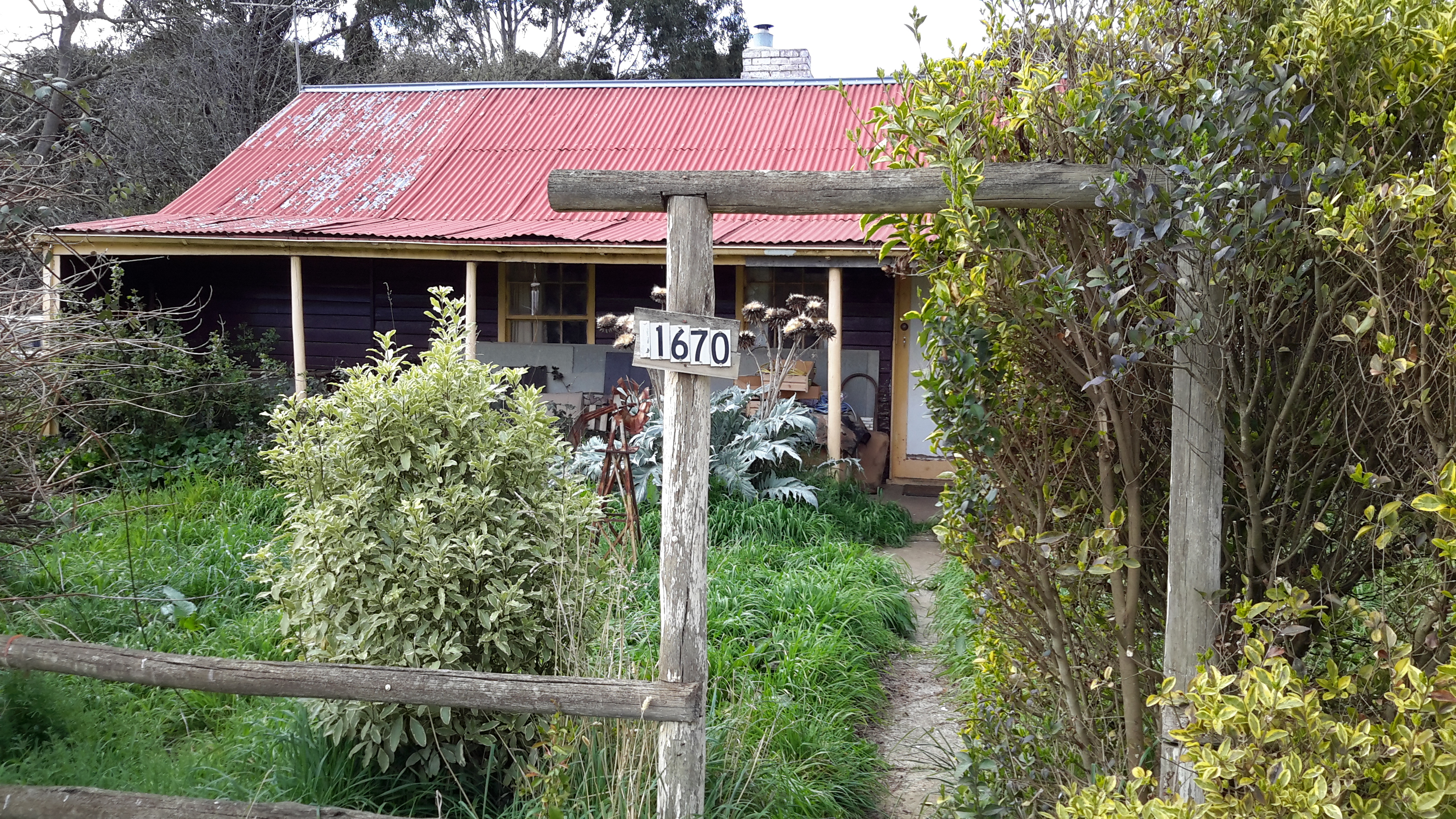
The old lady, owner of the wheelie rubbish bins, lived on-site in the red-roofed house.

20150918_112259

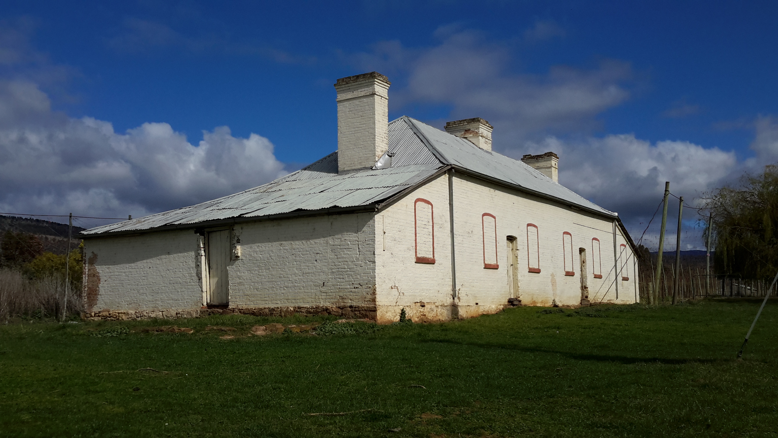
I guess the red bricks have been painted over in the building named the Red Brick Kiln, shown in the photos below.

20150918_112237 20150918_112041 20150918_112024

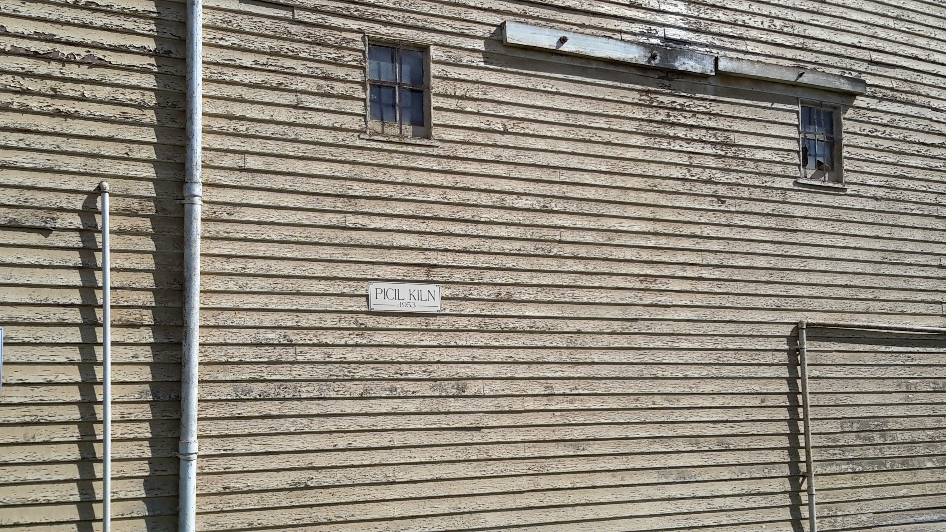
The last building I looked at before following another dirt road to the main road, was the Picil Kiln as pictured below.

20150918_112213 20150918_112449 20150918_112410 20150918_112621

I hope to bring friends here with a picnic hamper and perhaps a bottle of bubbly in order to relax and soak in the quietness, and to be pleasantly stunned by the scale and dramatic shapes of the buildings.  Perhaps I will see you there one day.

Hop farms

Suddenly, I was on the outskirts of the tiny town of Bushy Park and hop fields began to edge the road.  In case you don’t know, hops are the raw material for beer so the agricultural activity in this area is serious business. In Tasmania we have two mainstream brewers; the Cascade and Boags breweries plus other interesting boutique beer makers.

20150918_104145 20150918_104214

The Beer Pilgrim  has lots of photographic information to offer. An ABC news item includes photos of the hops and some processes. In addition, information about the growing patterns of hops, their harvests and other details are located at Hop Products Australia abbreviated to HPA.   I was fascinated when I read ‘The hop plant originated in China, but it was the Germans – way back in the 11th century – who first discovered the crop’s potential as an ingredient for beer, and they’ve been at it ever since.’ I wondered whether the world would be a different place if the Chinese had made that discovery first.  What would be the Chinese equivalent of an Oktoberfest?

20150918_104512

When I read the sign in the photo above, I felt good that I hadn’t found a way to walk on the river edge on the other side of these hop fields – if I had, then the soles of my shoes might have delivered exotic seeds or destructive pests to the ground.

As I continued walking, I enjoyed looking at properties and different vintages of houses.

20150918_104908 20150918_104945

20150918_105413 20150918_105504

20150918_105631 20150918_105841

20150918_105603

The hop vines were not yet growing up the lines so the views across the paddocks were relatively uninterrupted. Before long, across a hop field I could see specialised hop buildings near private houses.

20150918_105817

Then, as I reached 1 Acre Lane, at the far end I could see Oast Houses and other large buildings.  In the Google Map photo below the hops have grown up the vines on the left and they obliterate the views I had over the empty paddocks – but this is the lane if you are visiting Bushy Park and looking for what I could see. On the street view of Google maps no sign naming the lane is in evidence, but since that street view was made a sign has been attached to a pole on the non-lane side of the road.

Bushy Park lane to oast houses

My feet were aching and touchy at each step. I wondered whether I had it in me to walk down the lane to see whether there was public access and have a look around, and then have the feet to walk back to the road.  I still had quite a few kilometres to go to reach my day’s destination at Gretna and I felt rationing my steps could be a good idea.

Just then an old woman, on the main road, was dragging two large empty rubbish wheelie bins towards me and the lane.  A tiny lady, I felt she could have fitted inside one of these.  It looked like a massive effort for her. She was pleased to rest and chat with me. I asked if public access was available and she told me that I could look around the buildings but not in them, and that most were heritage buildings and no longer operational. She headed off down that very lane. That long lane.  After she had taken a few steps she stopped for a rest. I realised this was a weekly challenge for her after the rubbish had been collected. I had no idea how far she had to walk with the bins, and since I could not see any residential houses I guessed that somewhere at the end of the lane in the precinct with the Oast Houses and other specialist hop buildings, she had a house. I called out ‘Can I give you a hand and take one of them?’  She didn’t have the energy to look grateful and simply said, ‘Yes’.

With apologies to The Beatles – The long and straightened road / That leads to her door / Will never disappear / I have not seen the road before / It will always lead me there / Lead me to her door

Watch out! Cows crossing

After Rayners Corner, I walked back along Glenora Road because I could not access the property separating me from the Derwent River. The tall dry teasels made a barrier on the left of the road.

20150918_103217

When I registered the sound of a motor cycle and a quad bike on the hill, I watched two farmers sweeping down as they herded cattle towards the fence next to the road.

20150918_103300

Within moments the bike was on the road ready to halt traffic.

20150918_103408

And then the cows were out.  Their job was simply to walk from one paddock to another across the road.

20150918_103447

But along the road barrelled a speeding car which skittered the cattle so they began to run towards Bushy Park.  The car stopped short. The farmers glared. I stood still knowing if I kept walking in that direction the cows would be spooked further.

20150918_103510

Eventually the cattle found their paddock.

20150918_103621 20150918_103847

I continued walking along. Then I turned and talked with Mrs farmer while Mr farmer locked gates.  When he joined the conversation he assured me that while the cattle had a mind of their own, sheep were the particular challenge he particularly did not like when it was time to take them over a busy road.  His sheep could never be trusted to know they should not run off.

Leaving Rayners Corner

Rayners Corner represents one bend in the Derwent River near the township of Bushy Park. Total tranquillity.

20150918_102140 20150918_102313 20150918_102432