
This walk offered steep hills, challenging fences to navigate, endless webs across my path with an orange striped spider waiting to catch insects (or me), no access to fresh water, and worrying hazy smoke spreading from bushfires elsewhere in Tasmania.
The start of my walk began above the steep forested edges of Lake Repulse Dam (photo below courtesy of Chantale).

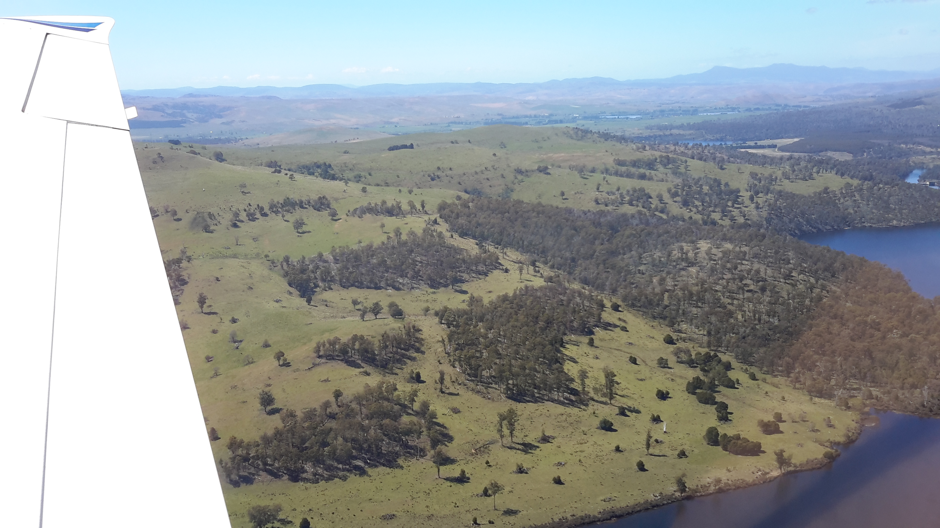
Inland, past the Dam on the eastern/northern side, the landscape is a mix of forest and land cleared for cattle. The photo below was taken by Michelle. I walked on the right hand side of the water. Note the thick forest along the water edge. Note the steepness of those banks.

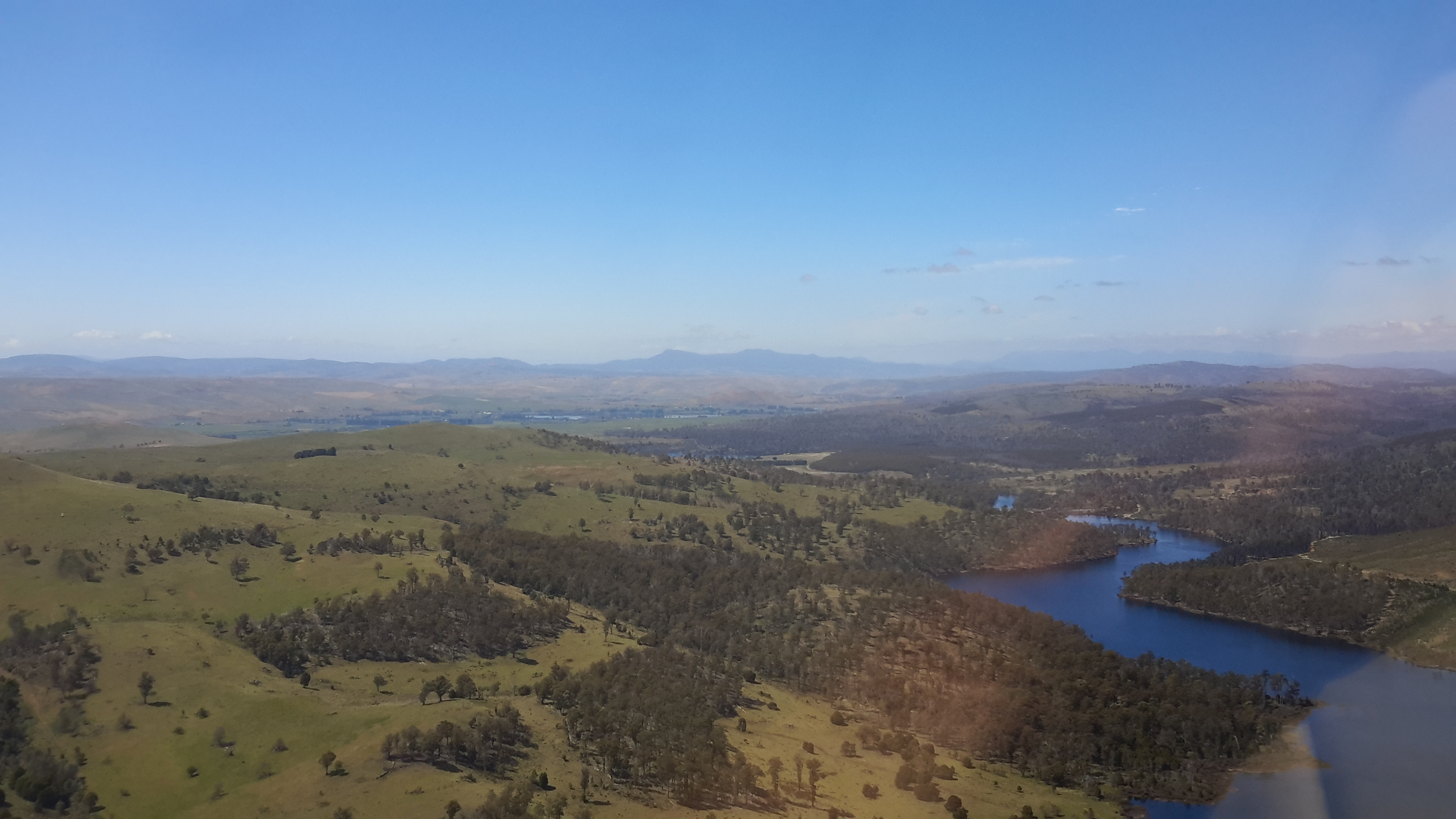
The photo below, which looks back in a south easterly direction to Lake Repulse Dam, was taken later last year when the grass was green rather than dried and spiky as it was during summer when I walked.

The cleared areas are deceptive. They look easy to walk. Despite holding only a grassy coverage, the ground of these cleared areas was irregular and uneven, and it was always inclined up or down – all of which made walking slow.
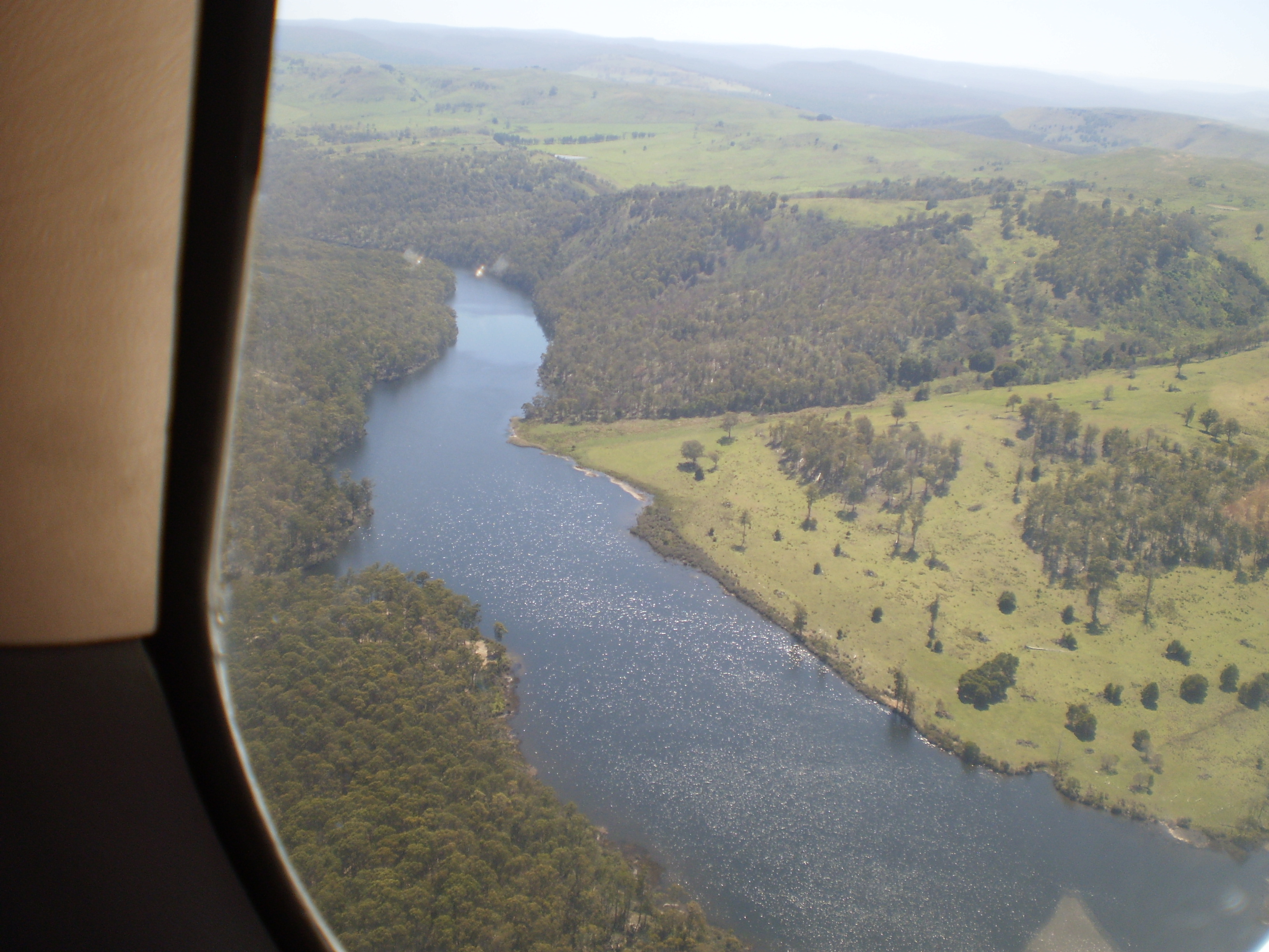
My walk crossed cleared lands and passed through forests. Wherever I went, either I was climbing up or down 200 metres of hillside. Even the lower undulating hills plucked at my leg muscles. For me “hills ain’t no fun”. Eventually I reached the large Catagunya complex of Power Station, Dam and Lake. Photos below were taken by Michelle and by Chantale respectively.


