Author Archives: Tasmanian traveller

Unknown's avatar

About Tasmanian traveller

Through travel, I have experienced the eccentricities of people and their environments around the world. At the same time, I love where I live. So, for people who cannot travel to discover the wonders of my home town, this blog is an attempt to introduce its exoticness. My goal was to walk along both sides of Hobart's Derwent River from the mouth to New Norfolk, and to walk on one or alternating sides of the River between New Norfolk and the source of the River at the southern end of Lake St Clair. The walk was undertaken in stages around my other commitments of my life. Almost all stages of the walk connected with Tasmanian public transport - my intentions was to inspire people, who do not have access to a vehicle, to feel they can replicate the walks. This blog reports on each stage in the hope it will encourage people to either follow in my steps or to create their own walking project where-ever they live. Please note: The blog background and headliner image of 'Hobart from Mt Wellington' is the work of Tourism Tasmania and Garry Moore. It is a free image with unrestricted copyright and available from http://www.tassietrade.com.au/visual_library

Back to the Florentine River

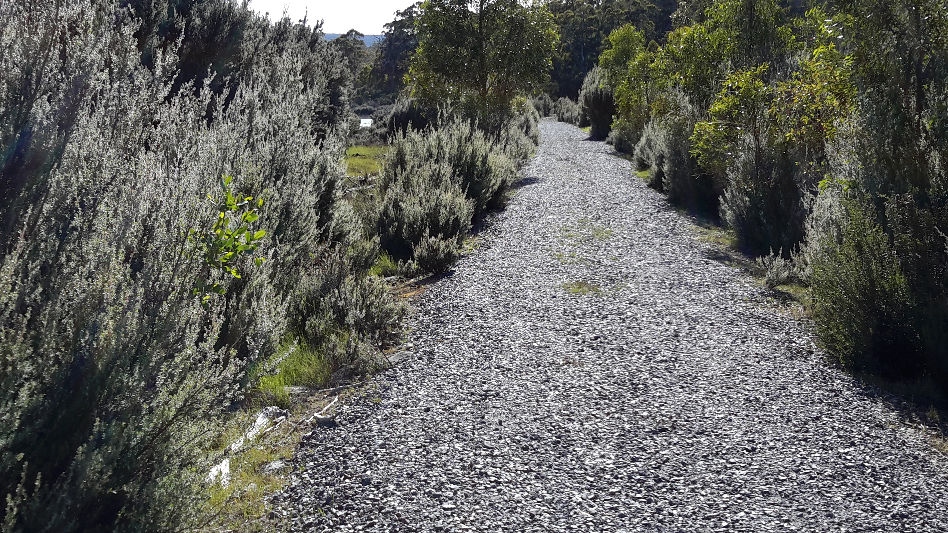
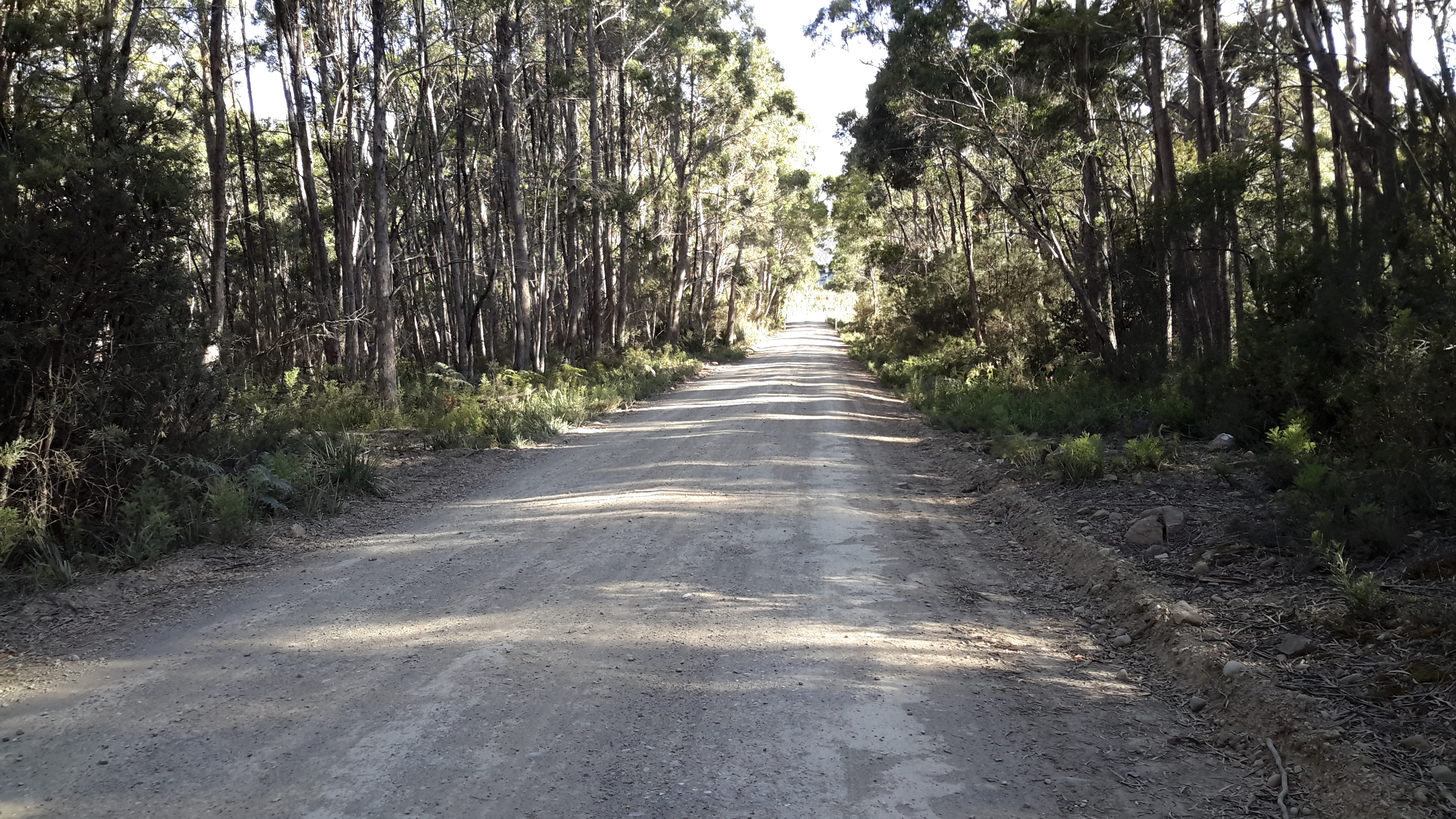
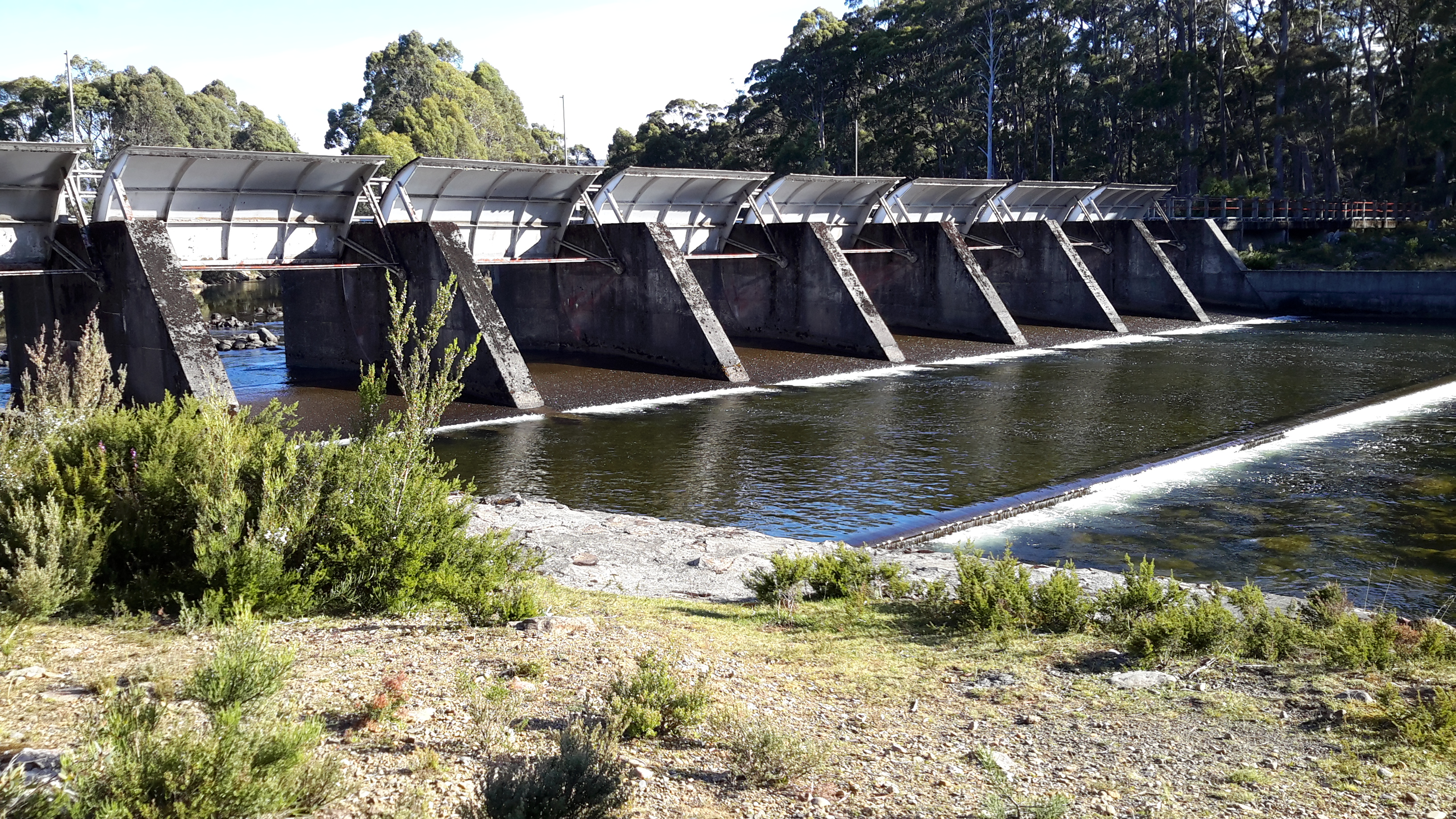
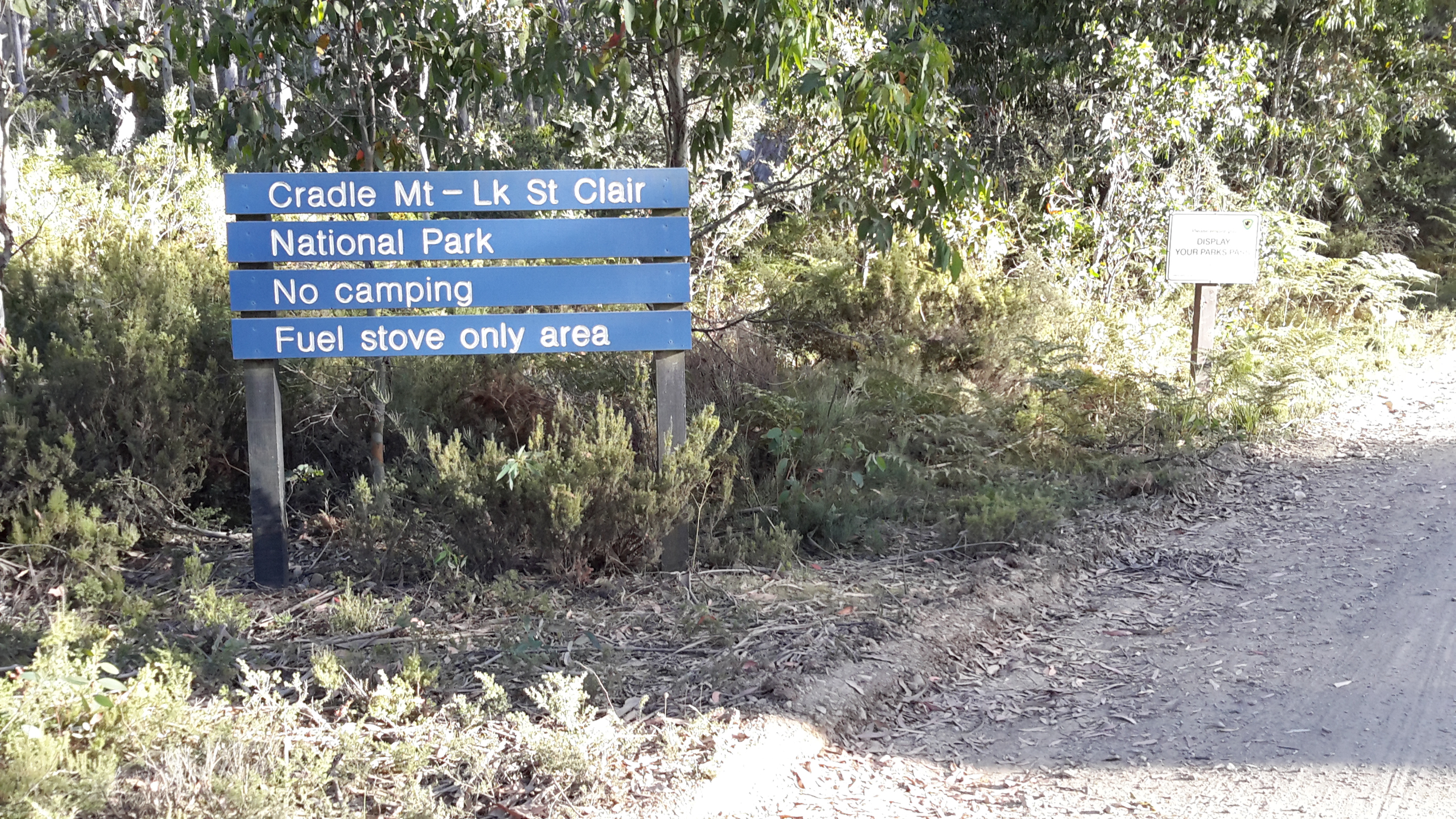
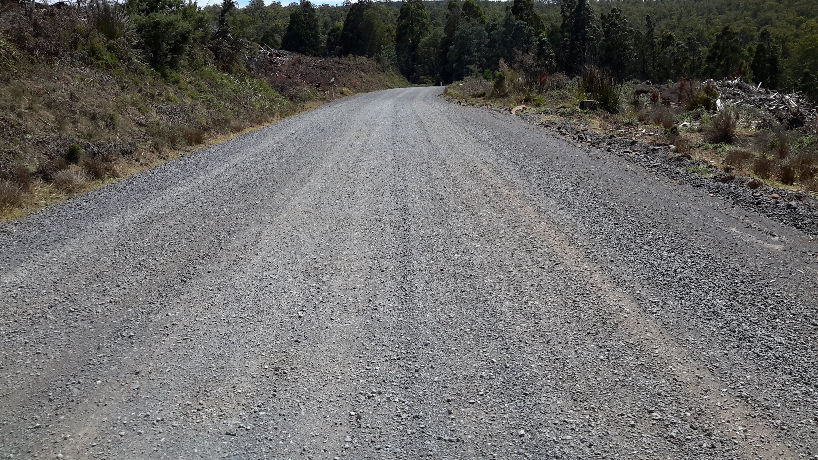
Last year I wrote (The Florentine River flows into the Derwent Riverabout my walk from the Wayatinah Power Station westwards along the north/ eastern side of the Derwent River until I passed the point where the Florentine River entered opposite.  To cover the total distance from the Power Station to the Derwent River near the town ship of Wayatinah, more recently I walked on the south/western side of the Derwent River along the Florentine Road from near the Florentine River.  This short and easy walk, took me mostly uphill on a good gravel road, and allowed me to look down on the running Derwent.  Not a soul on the road, just the sound of birds and gushing water.

20160115_113122.jpg

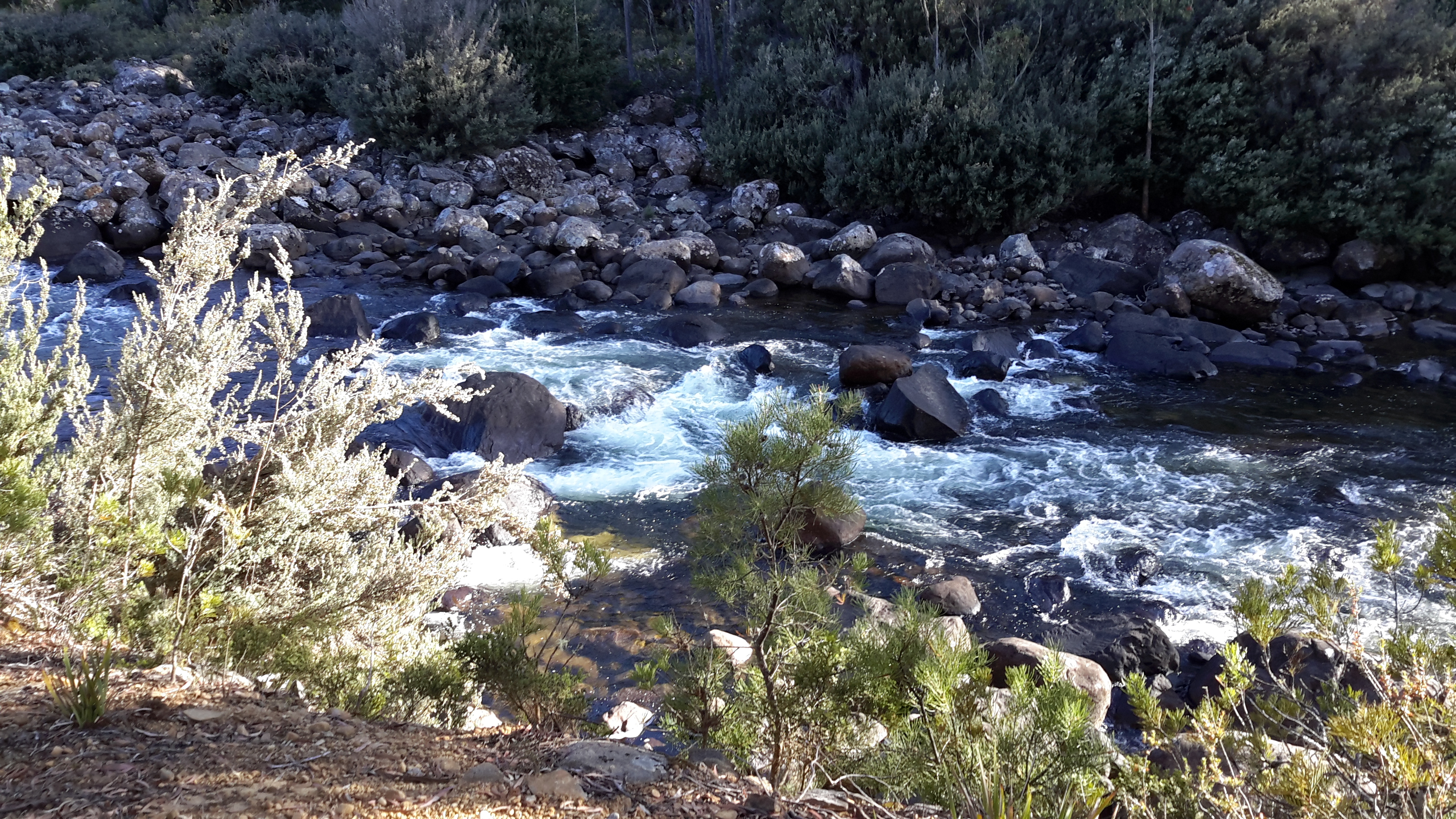
Thanks to Deb, I was chauffeured to the Florentine River which meant I didn’t need to retrace my steps on that walk. That Florentine River is quite lively.

20160115_112146Florentine river.jpg

20160115_112155 Florentine River.jpg

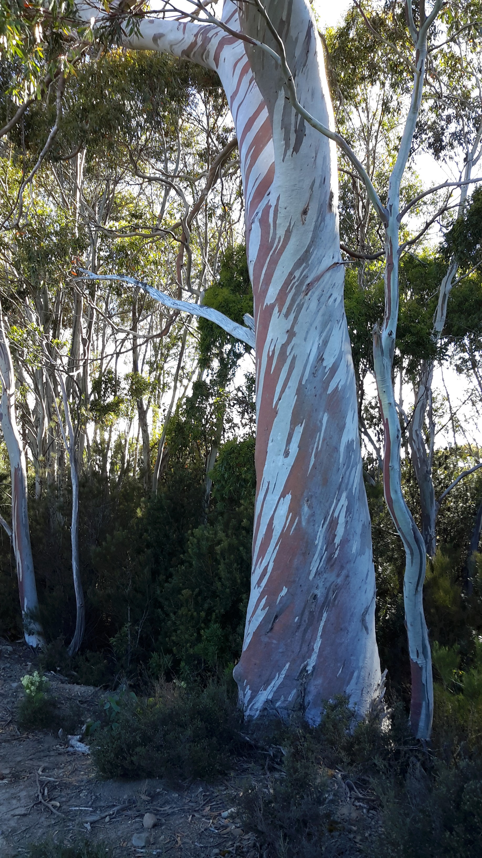
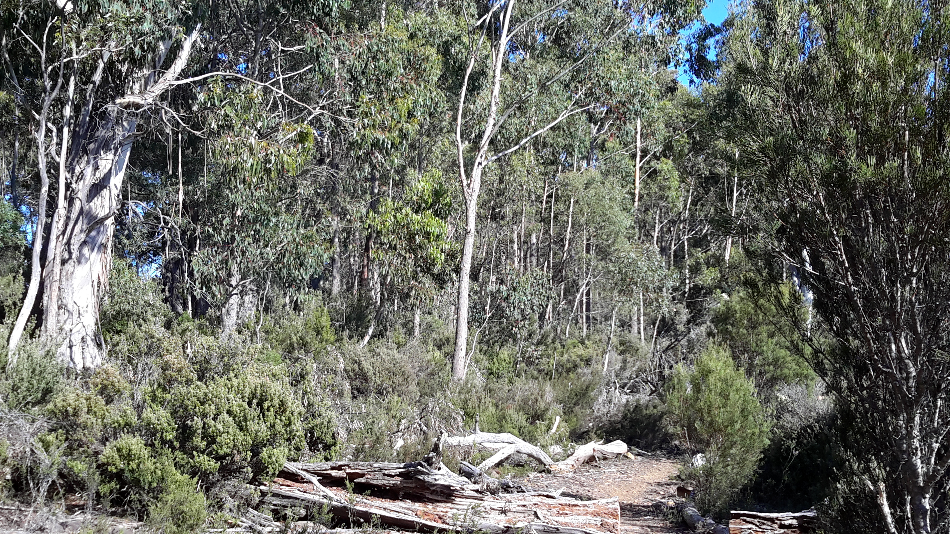
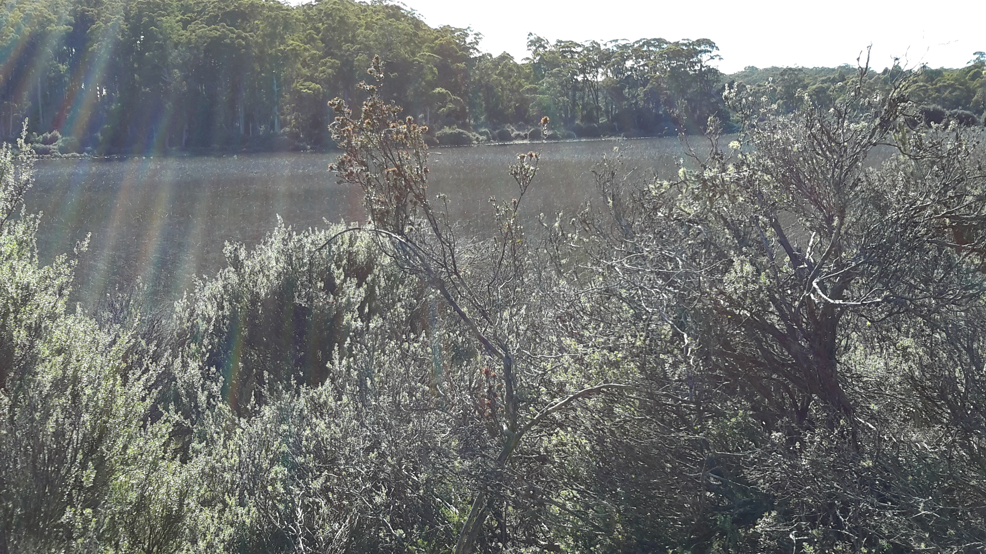
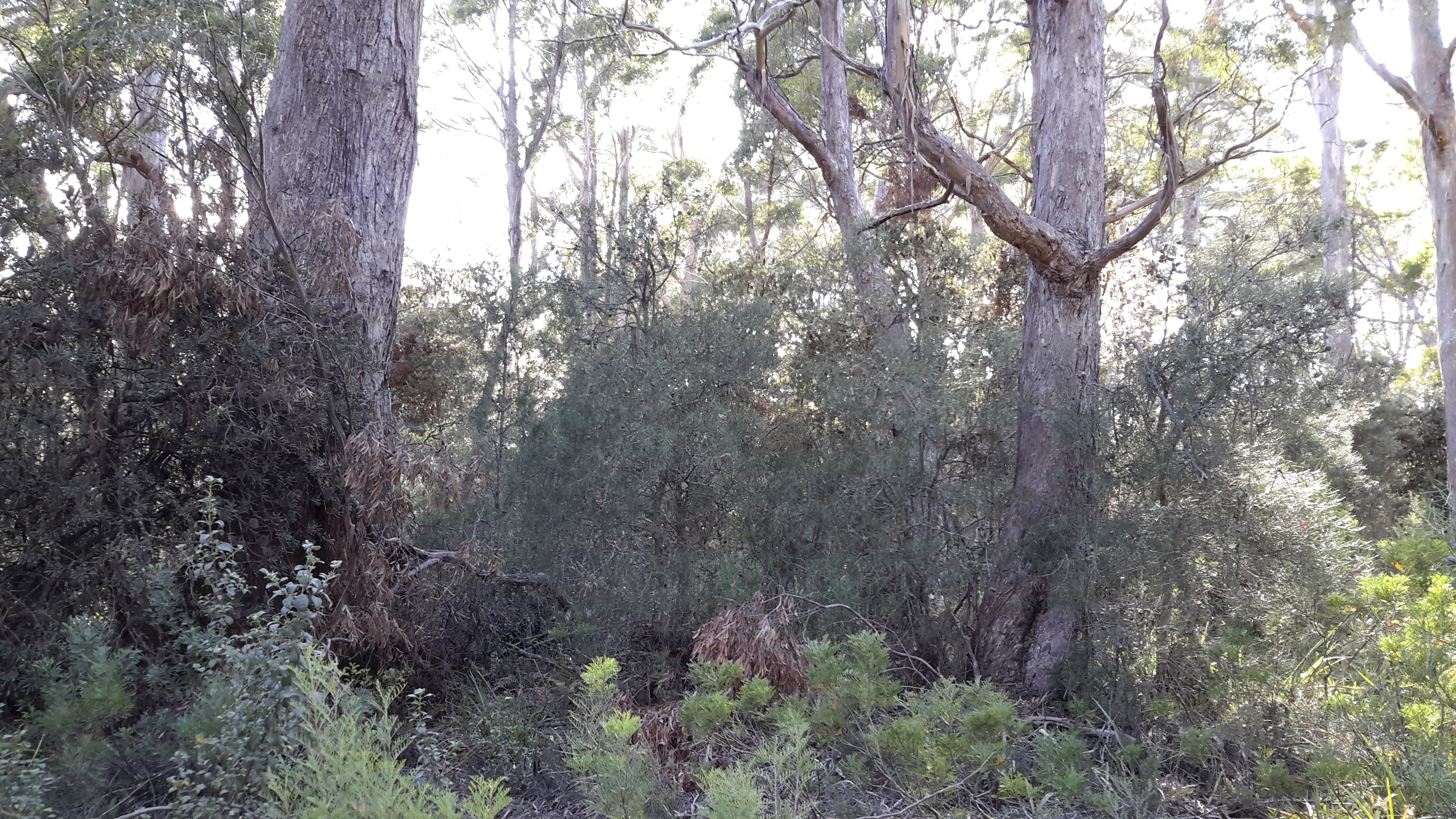
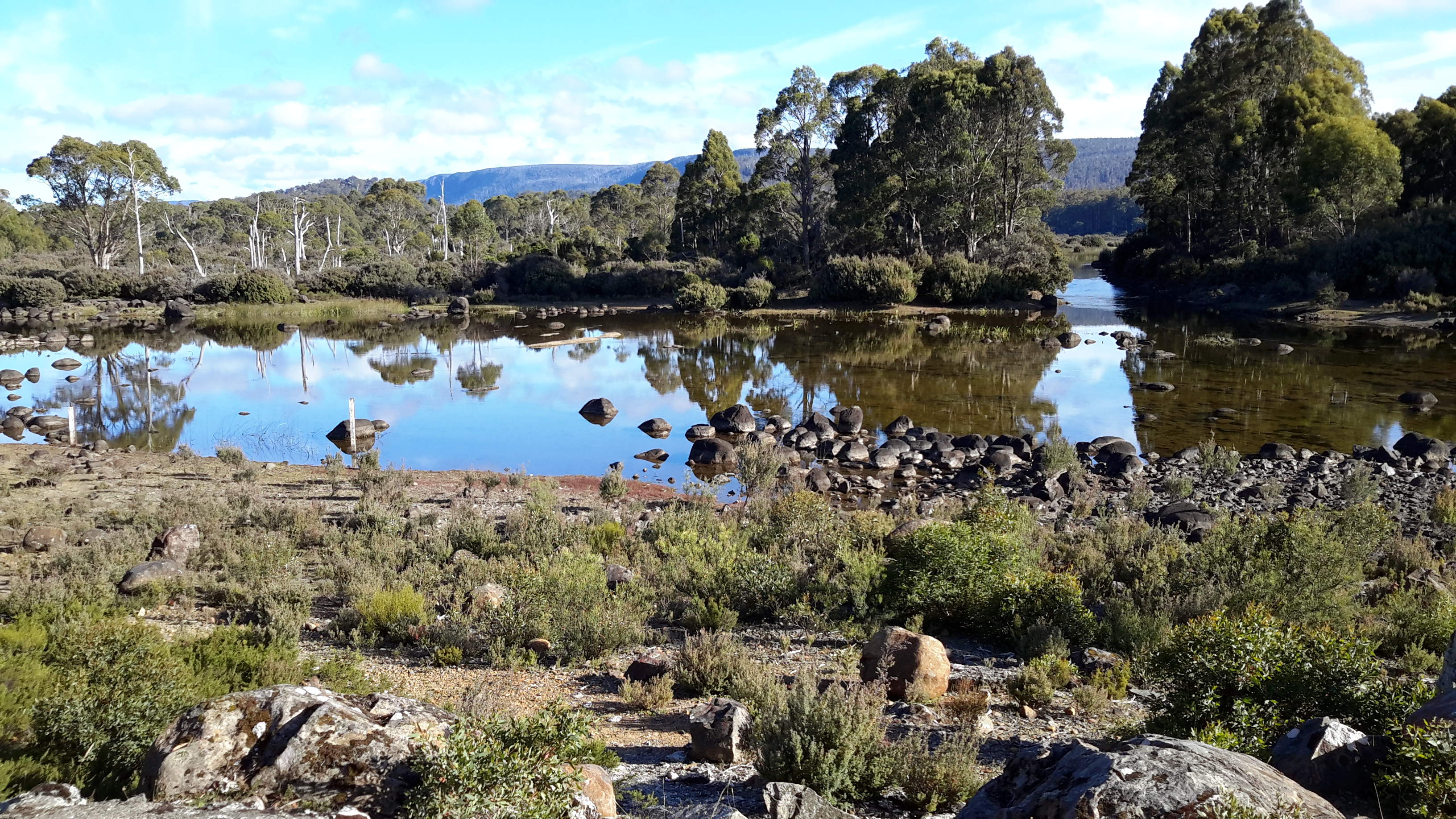
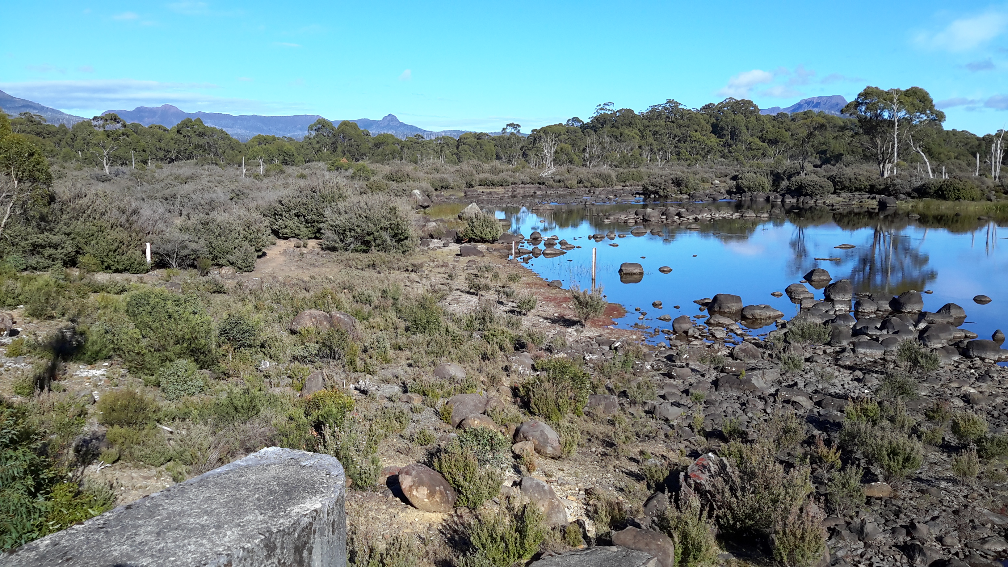
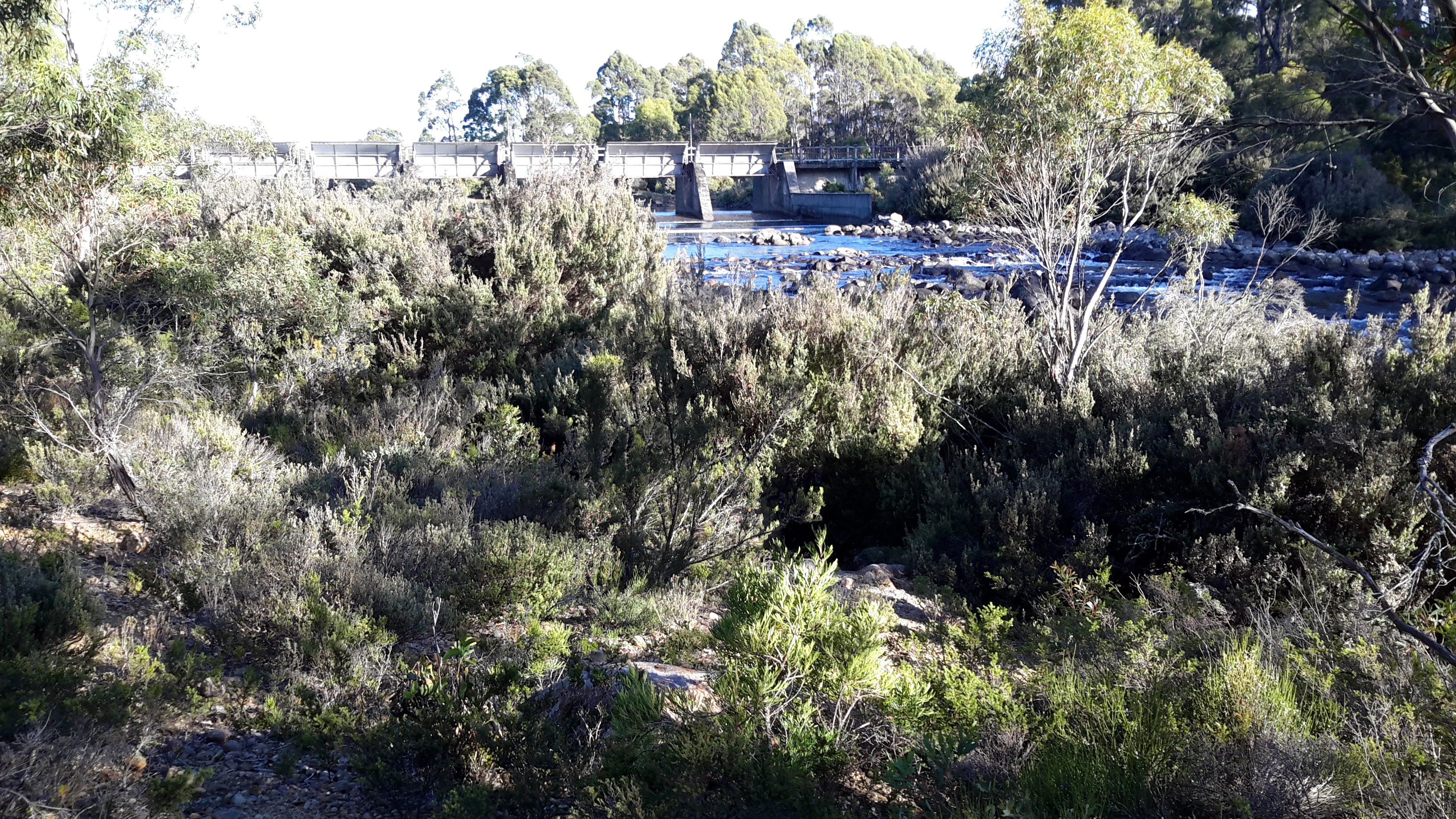
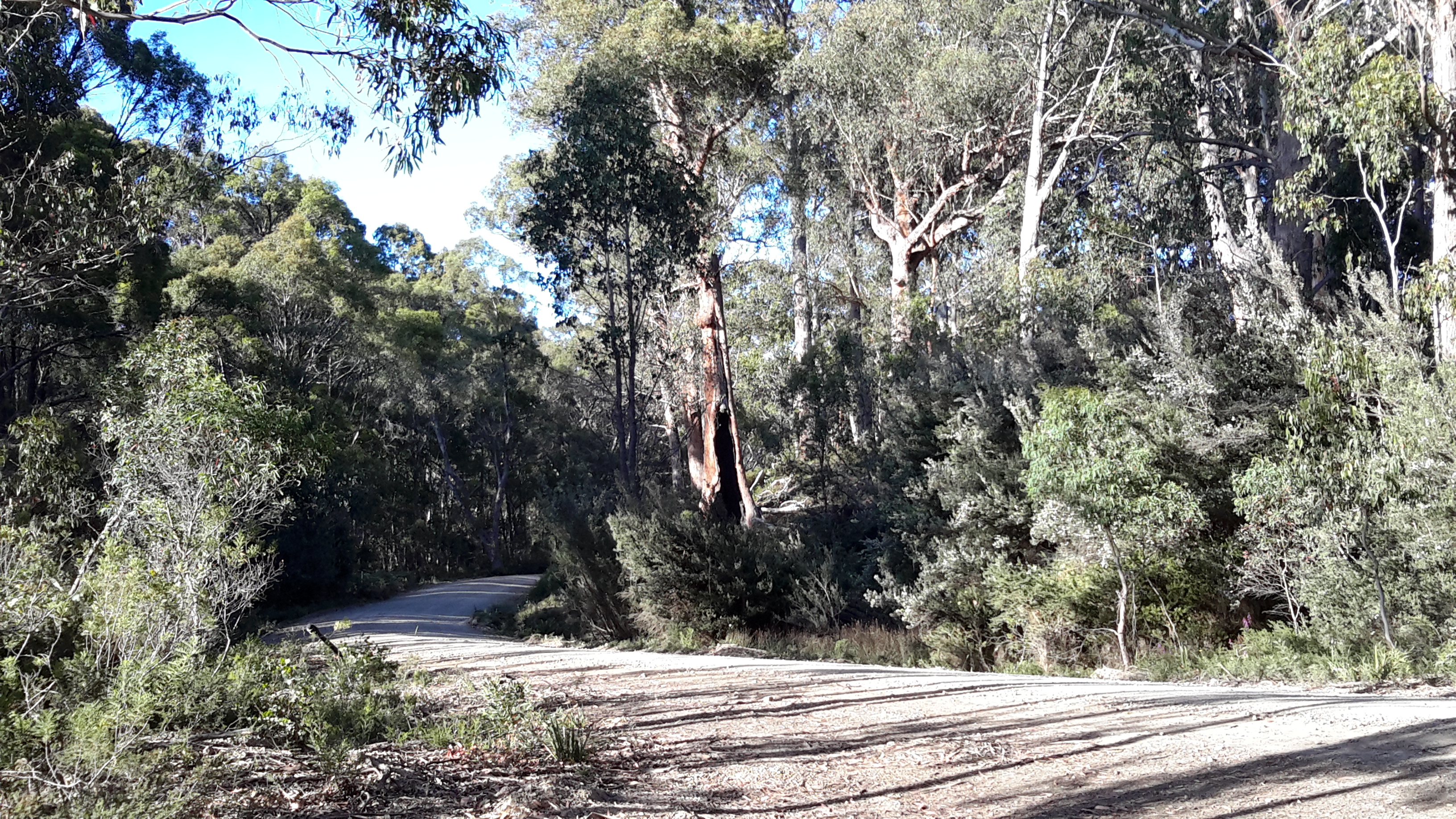
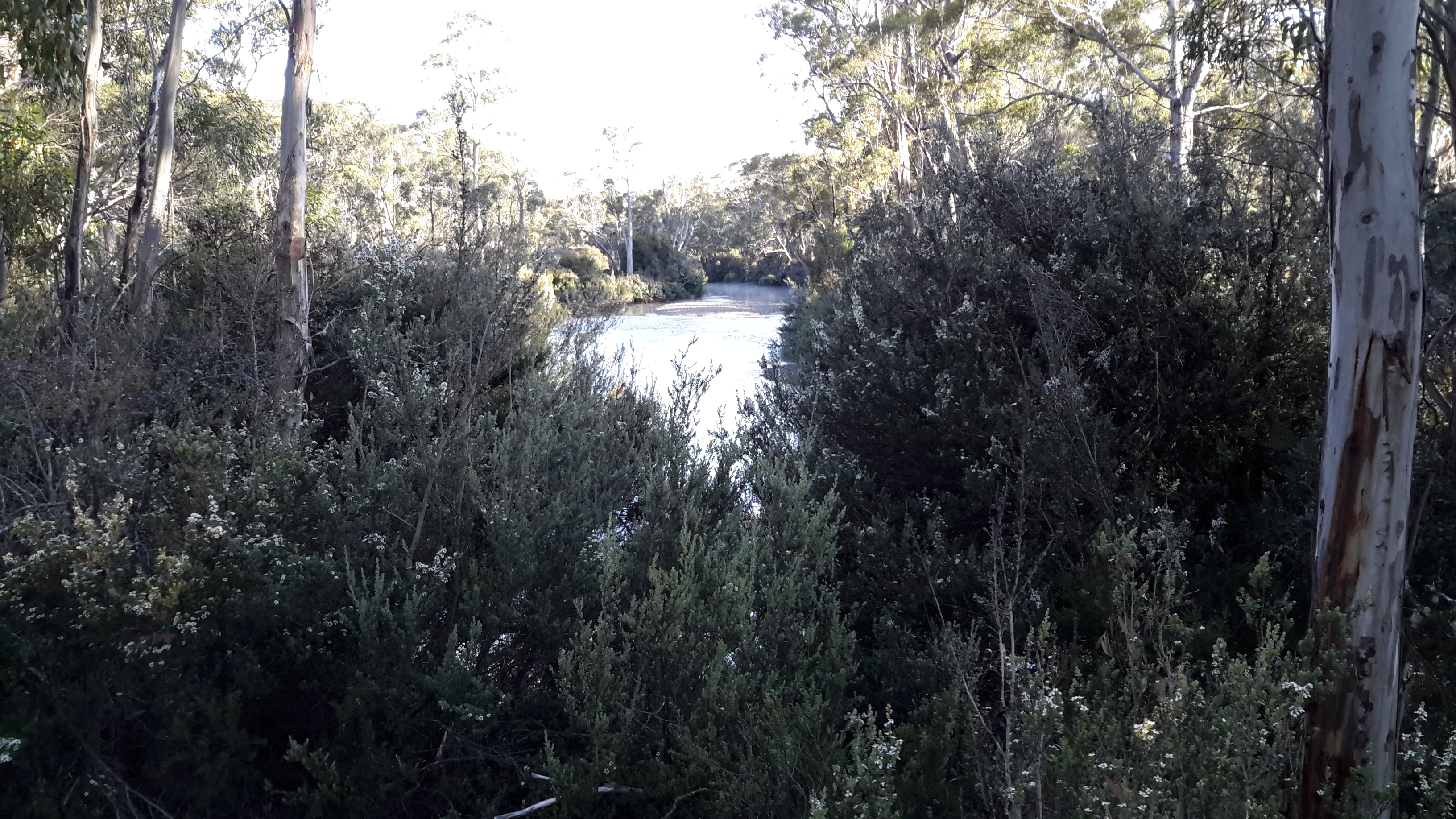
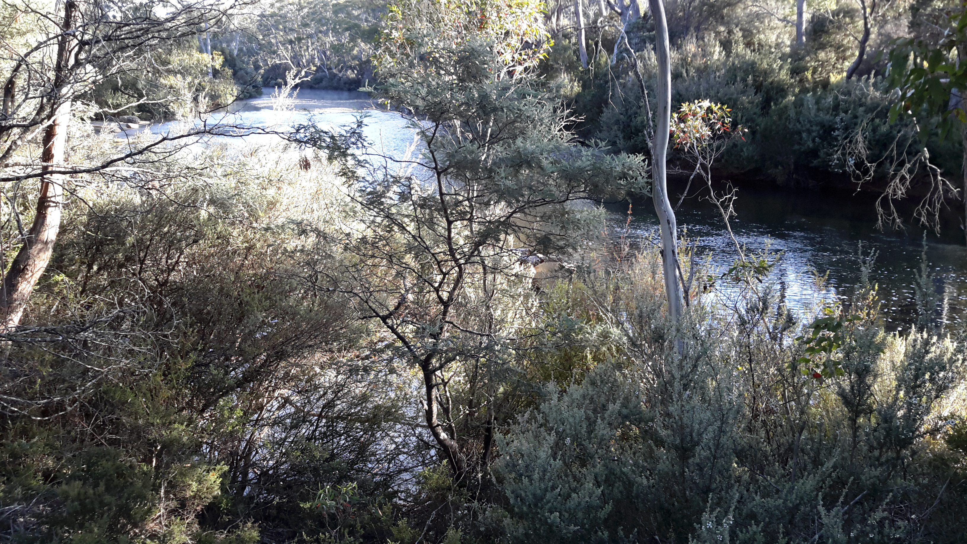
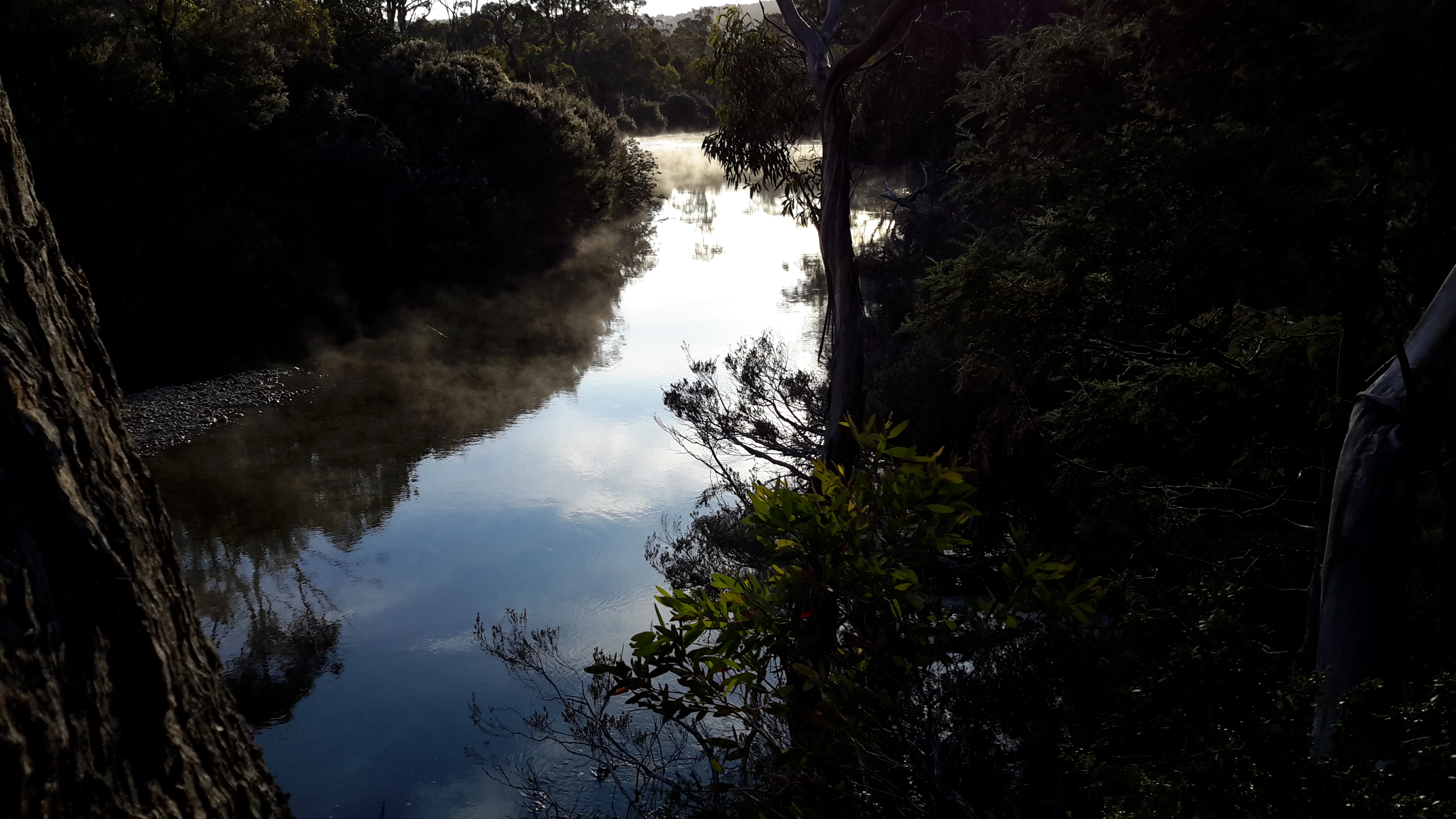
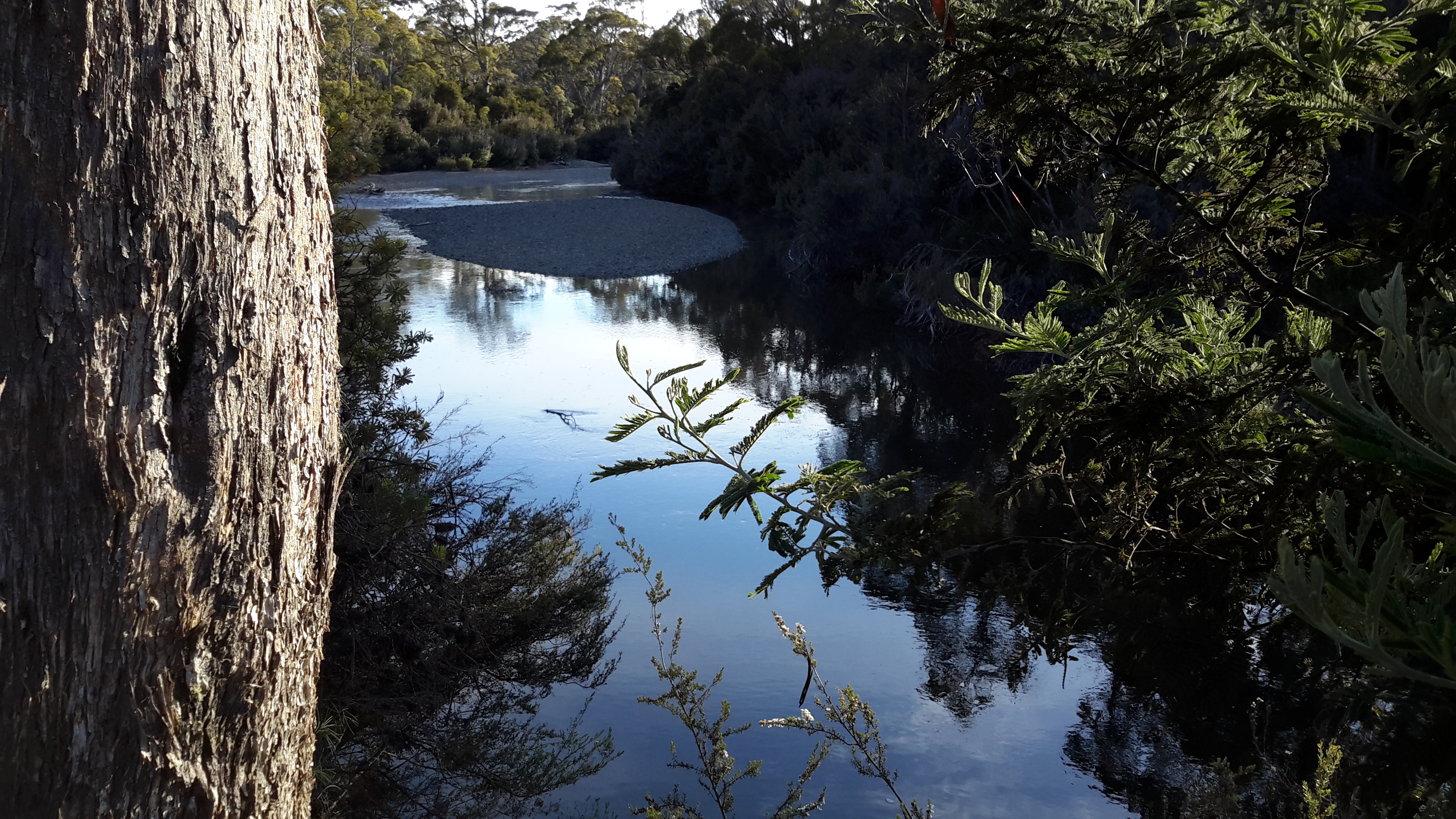
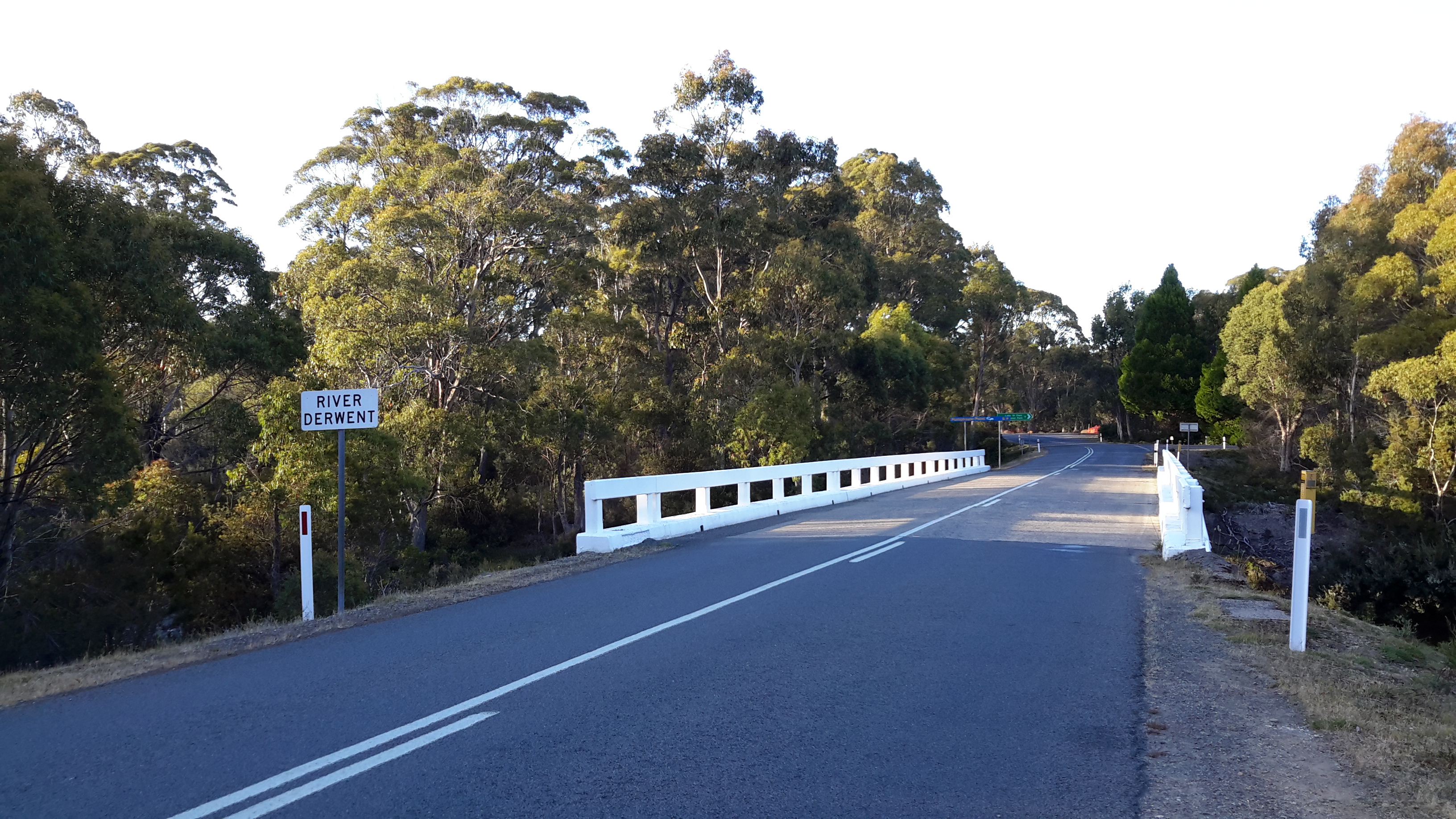
Soon after leaving the Florentine, a thicket of bush fills the space between the road and the Derwent River.

20160115_113644.jpg

20160115_114026.jpg

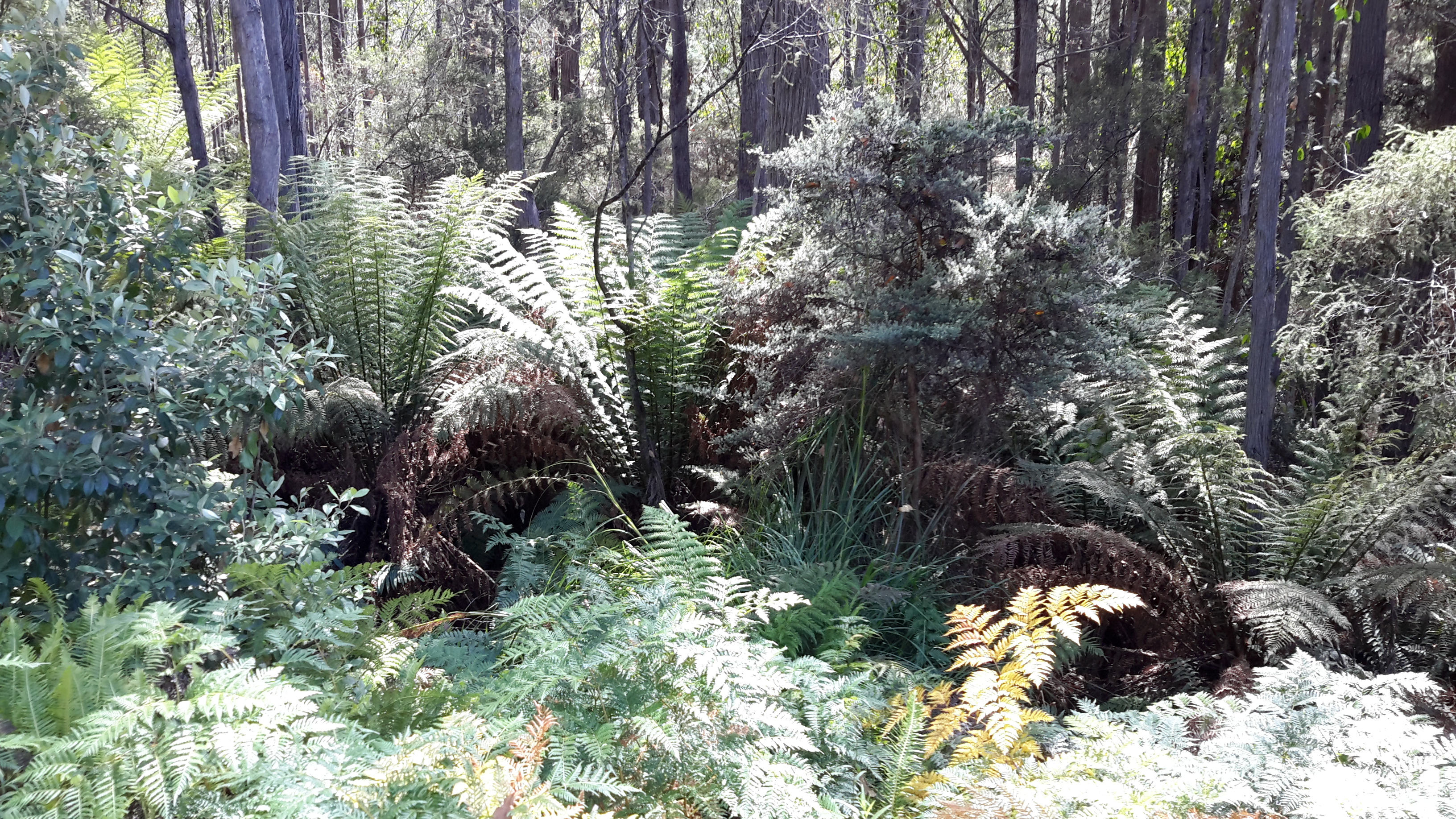
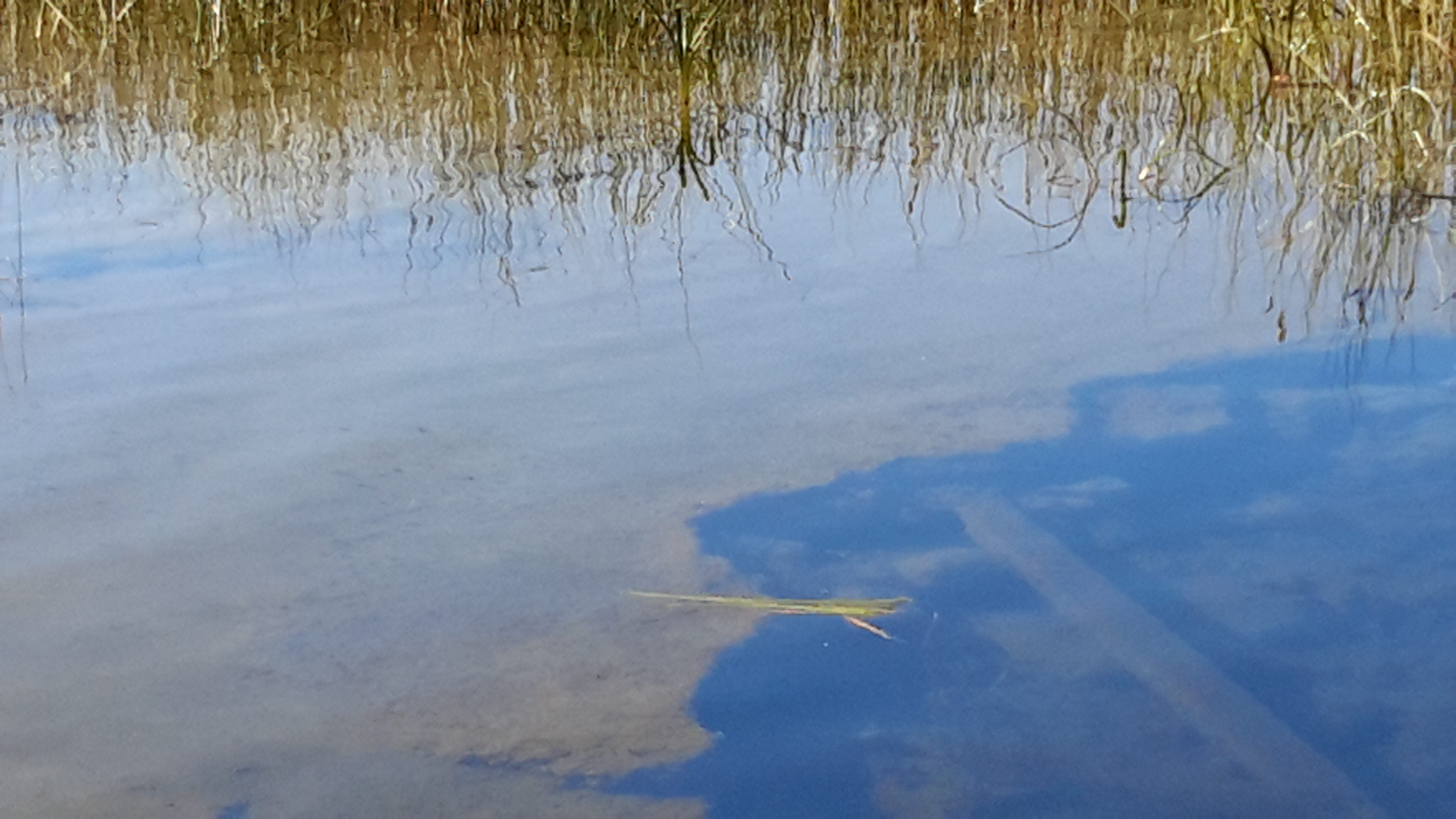
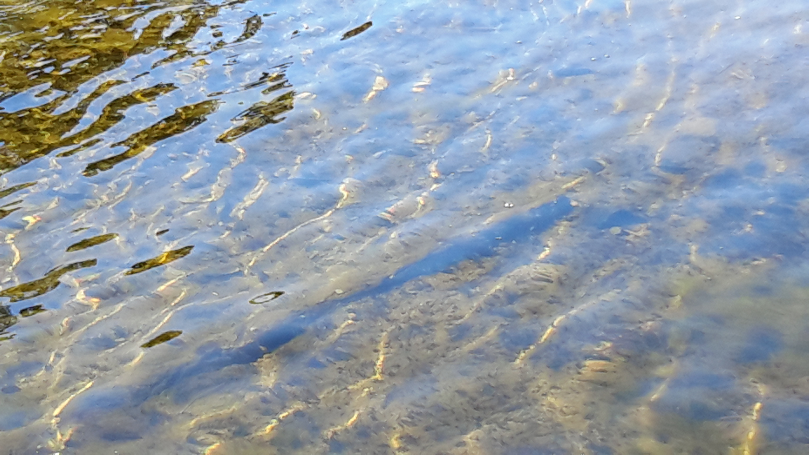
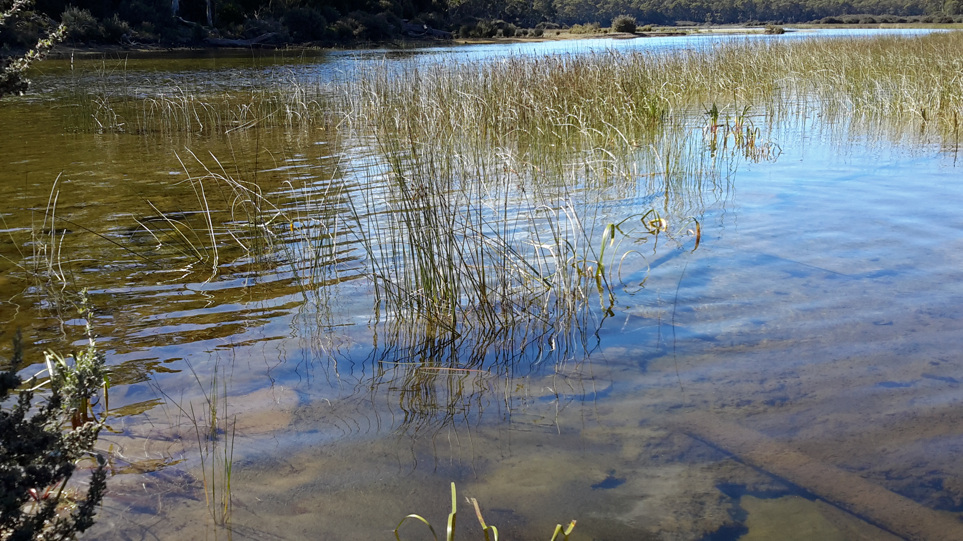
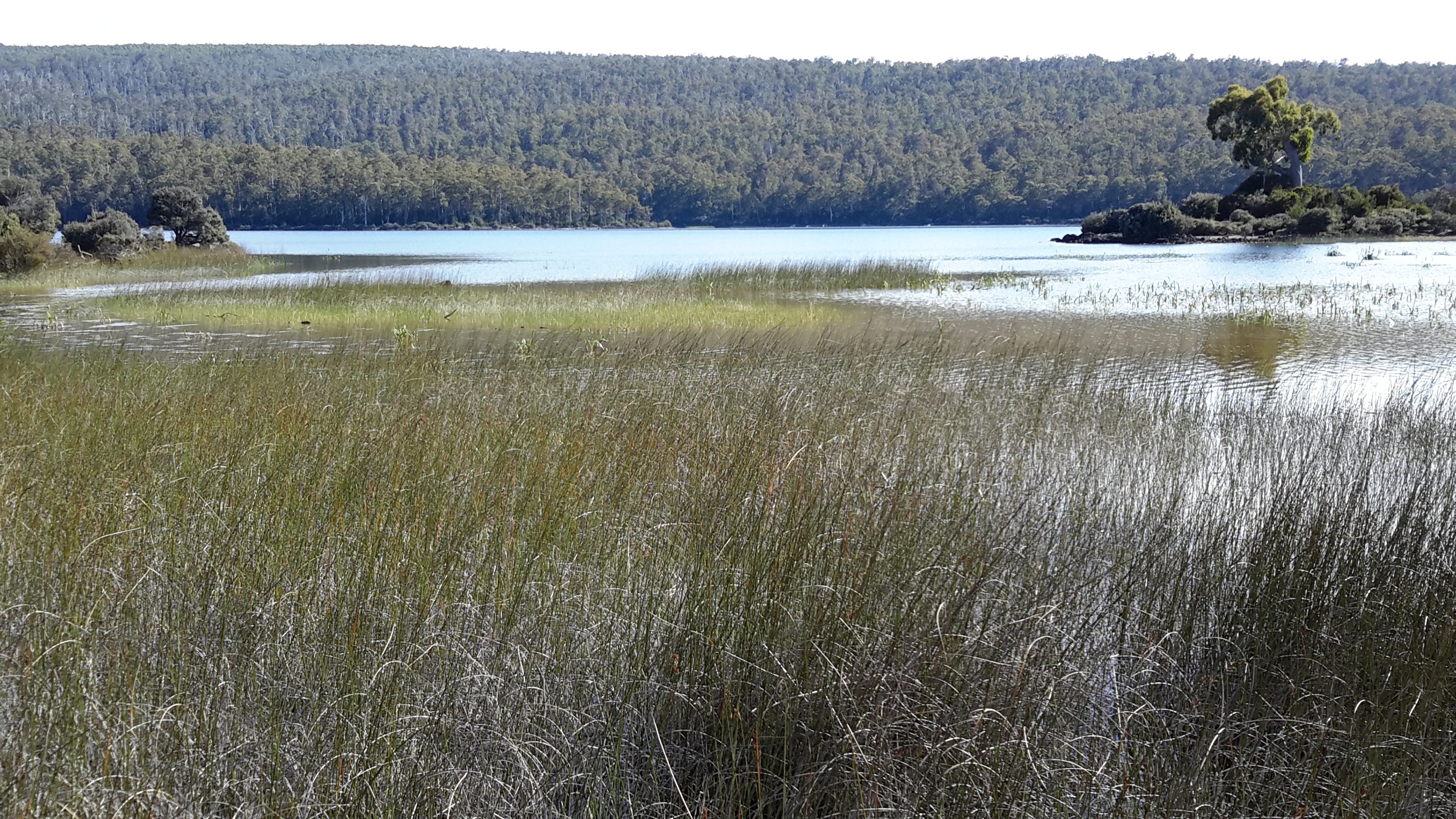
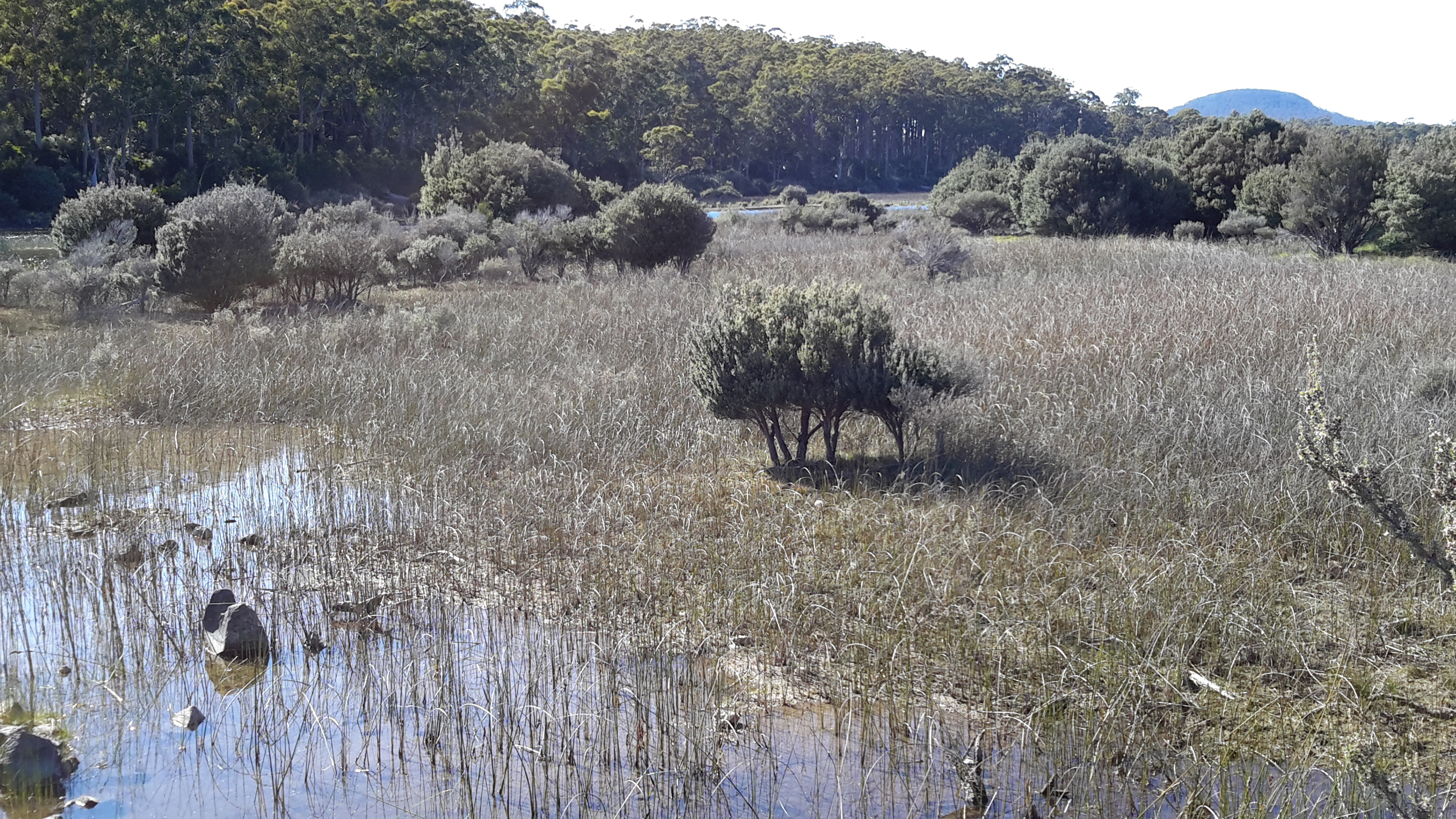
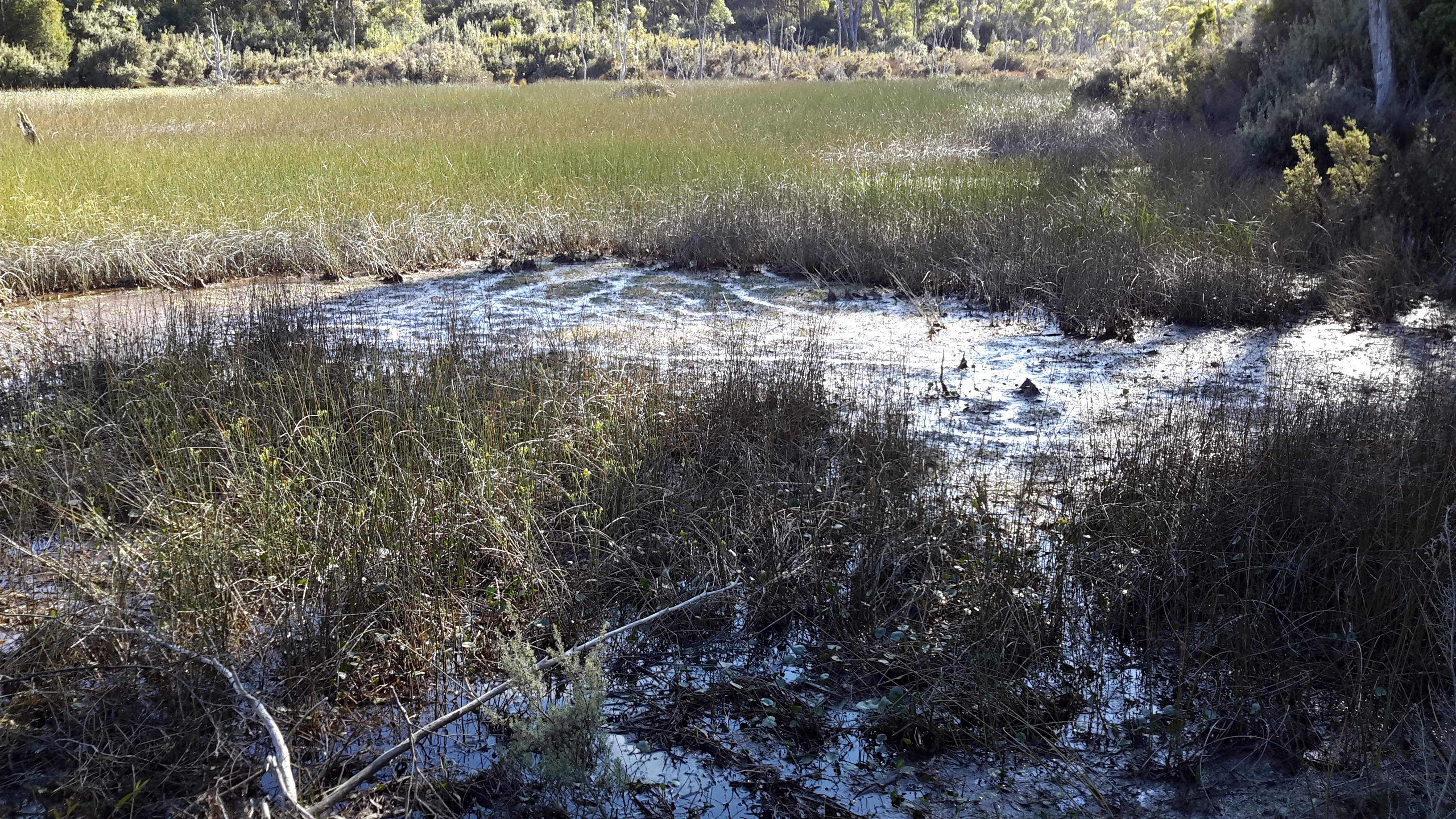
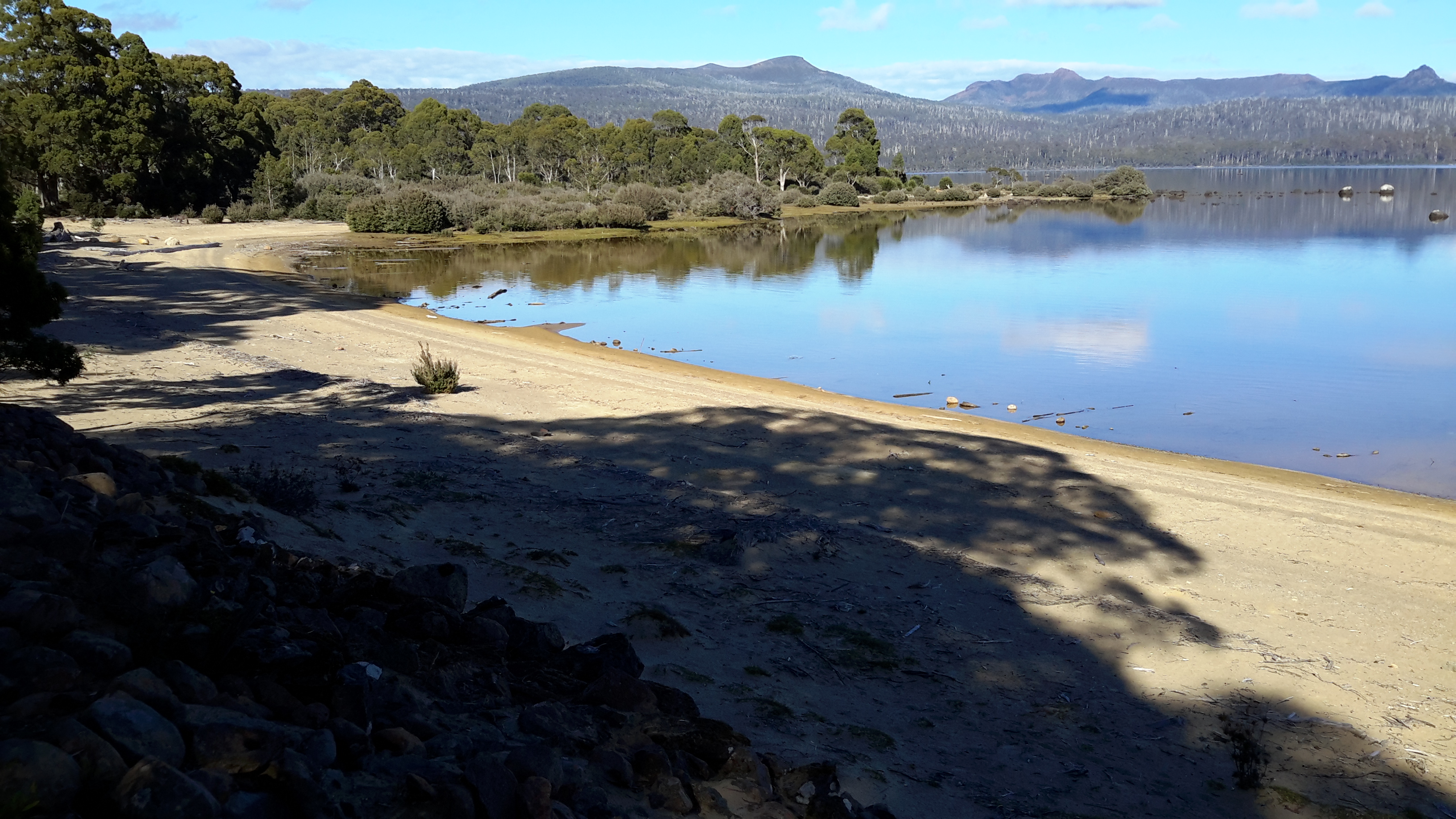
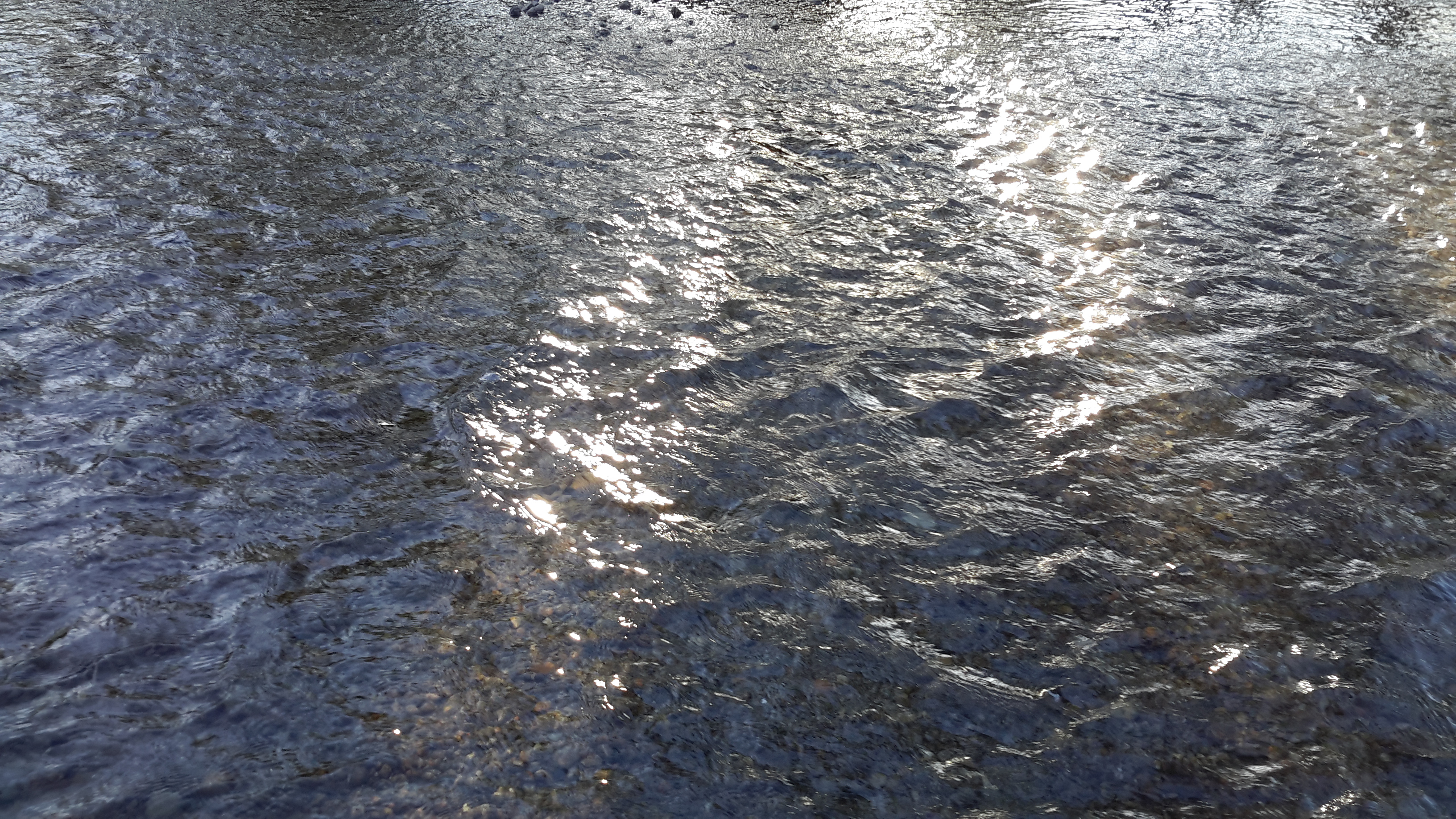
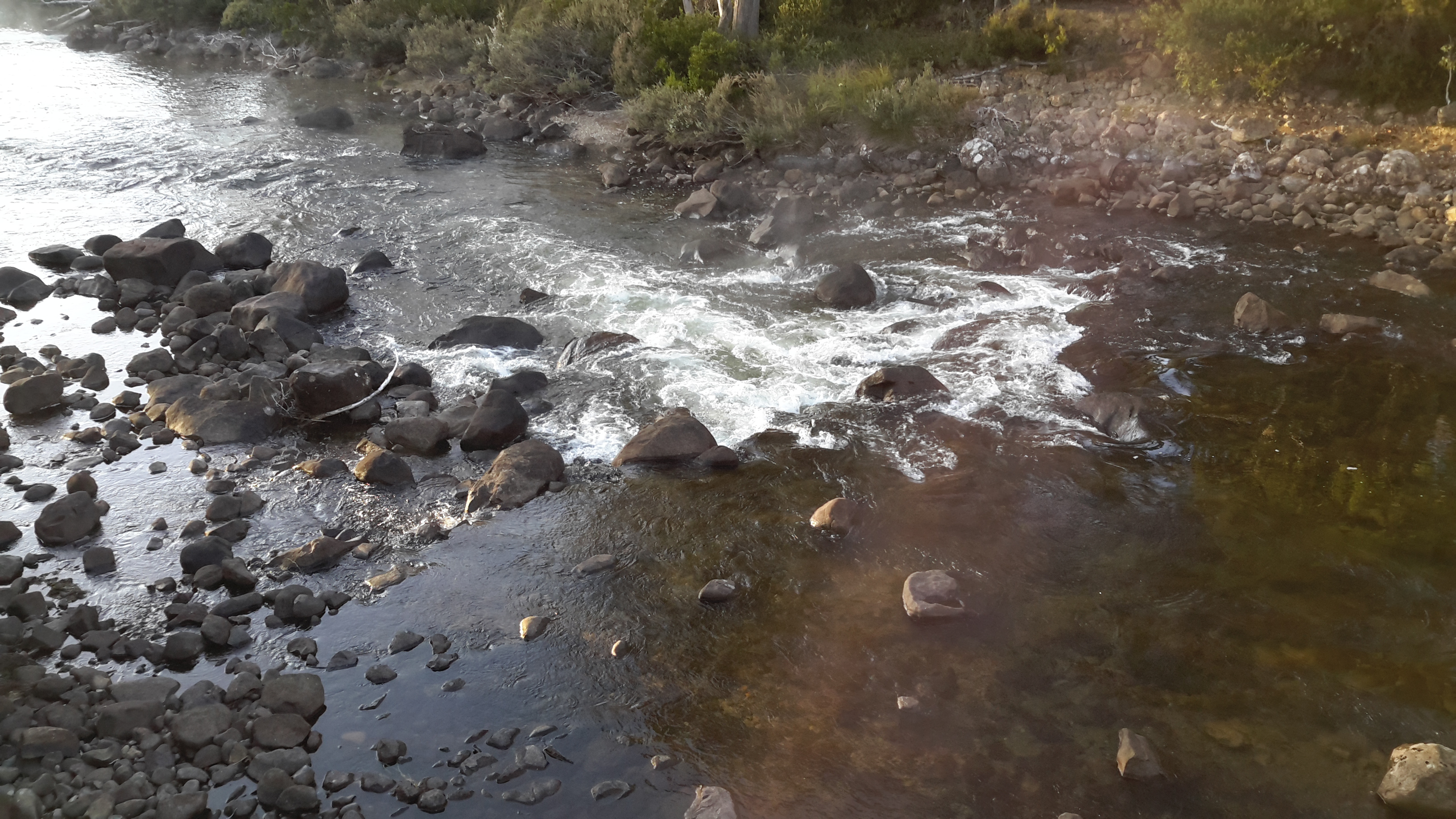
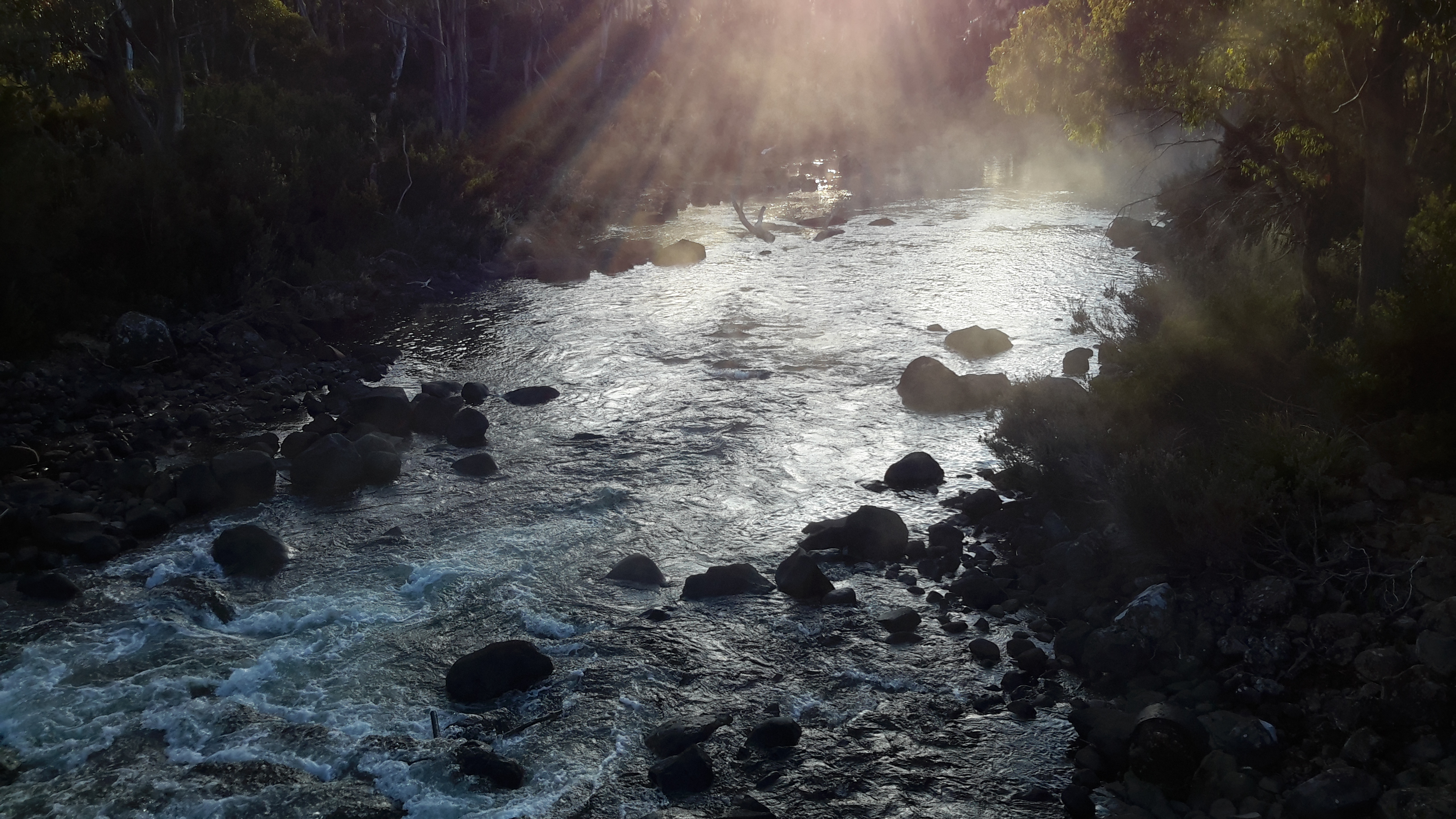
As I walked I could see the river below. However now, in the photographs, the colour of the water and the shape of the river rocks blend with the vegetation colours so that I find it almost impossible to identify the water.  But trust me it’s there in the photos below.

20160115_114937.jpg

20160115_114945.jpg


Writing up the ‘gaps’ in my walk along the Derwent River

20160104_090210.jpg

The photo shows water entering the Derwent Basin from Lake St Clair.

Despite my excitement when I reached the source of the Derwent River, I recognised there were some kilometres not yet walked or which had not had their stories told in posts on this blog.  Despite earlier misgivings and qualms about walking some edges of the Derwent River, I renewed my commitment to complete 100% of the length from the mouth to the source, and to create a blog which tells the complete story.  My future posts detail those ‘gap’ walks to the extent that I can, considering the confidentiality requirements of some landowners.

For blog followers who recently linked to my site for the first time, you may not be aware that in the earlier stages of this ‘Walking the Derwent’ project, my walks were sequential.  That is, where I finished a walk I started the next walk. However, once I reached the town of Gretna, from then on as I walked inland, my walks occurred out of sequence depending on the weather, access to the land, and a driver to take me to the start of a walk or collect me from the end of a walk.  I imagine for most of my blog readers it has been difficult in the past months to understand to understand how far away from Hobart or from Lake St Clair each walk has been.  Once I have finished writing all the walk posts, I propose to create one post which describes the River in terms of moving from one end to the other sequentially.  Hopefully this will clear up any confusions or uncertainties.

The ‘Painted’ Eucalypt tree

I passed this magnificent gum tree as I retraced my steps from the Derwent Basin back to the town ship of Derwent Bridge.

20160104_084157.jpg

Resting and reflection

I had nowhere else to be so I sat on the track edge at the Derwent Basin weir and mused.  And when I realised telephone reception existed in this part of the wilderness, I texted and phoned people.  I could go no further.

The day was cool but mild, and the water gentle and clear.  Joy. Profound happiness.  A deeply moving experience. And I was grateful.

20160104_091127.jpg

20160104_091207.jpg

20160104_093148


20160104_093159.jpg


The track to the Derwent Basin

I and the floating threads of spider web strands were the only occupants of the sometimes wider and sometimes narrower track from the Pumphouse Point locked gate onwards to the Derwent Basin.  The twists and turns of the tiny track made sure I had new vegetation and bush character to look at, on every moment of the walk.

20160104_084951.jpg

Native animals had passed along the path leaving evidence of their progress.  For example, the dragging of a small kangaroo tail is shown below.

20160104_084709.jpg

Between this track and the clear water of St Clair Lagoon, reedy wetlands extended large distances, so much so, that seeing the water was impossible.

20160104_084943.jpg

20160104_085321.jpg

After winding within the bush, finally the track entered the back of the Pumphouse Point Hotel complex’s visitor carpark, with the reception building and one of the facility blocks nearby.

20160104_090118.jpg

20160104_090127.jpg

No signage existed to direct me to the Derwent Basin weir from the Pumphouse Point complex, so I crossed a small bridge and took ‘pot luck’ along tracks which eventually allowed me to pass the area where the Derwent Basin meets Lake St Clair’s waters, and to continue onto the Derwent Basin Weir.

20160104_090448

Enjoy the crystal sharp birdsong in the bush on this short video.

Later I found a sign and followed the elevated blue metal track from which I could scan glimpses of the large expanse of Derwent Basin.

20160104_090517.jpg

20160104_090646.jpg

20160104_090802

20160104_090846.jpg

20160104_090856.jpg

20160104_091000.jpg

20160104_091114.jpg

On the southern side of the track, St Clair Lagoon filled the space. In the photos below you can see the bump on the horizon; that is Mount Charles to the north east of Lake King William which I had walked beside and around the day before I reached this idyllic spot.

20160104_090836

20160104_090952

When I reached the tiny weir controlling the flow of water from the Derwent Basin into St Clair Lagoon, the sharp mid-morning sun sparkled intensely on the water. I was almost blinded by the light.

20160104_091137.jpg

20160104_091229.jpg20160104_091226.jpg


What if the water leaving St Clair Lagoon Dam was not the source of the Derwent?


Different people hold views about the start and finish of places and the same is true for the Derwent River.  So, just in case, someone should say to me that the River’s source is at the weir where water flows from the Derwent Basin into St Clair Lagoon, or the source is where the water flows from the body of Lake St Clair into the Derwent Basin, I walked to both other locations to be sure I had arrived at ‘the source’.

From St Clair Lagoon Dam I returned to the Pumphouse Point road and continued towards Lake St Clair and the Hotel.  Trees flanked the walk.

20160104_082932.jpg

20160104_082941.jpg

And I passed unwalkable wetlands.

20160104_083218.jpg

Suddenly one corner of spectacular Lake St Clair stretched before me, and I could see the outlier of the Pumphouse Point Hotel sitting crisply on the Lake, roughly marking the entrance of water to the Derwent Basin.

20160104_083442.jpg

20160104_083436.jpg

20160104_083751.jpg

As I walked towards the Point I fell in love with Mount Olympus standing high in all its grandeur. Zeus would be pleased.

20160104_083958.jpg

Gradually I closed in on the Point so that the white box appeared as a building.

20160104_084007.jpg

20160104_084345.jpg

The entrance to the Hotel seemed barred to me.

20160104_084531.jpg

However to the right of the entrance a sign indicated a walking track would take me to the Weir at the southern end of the Derwent Basin.

20160104_084550.jpg

Again, anglers have been remembered.

20160104_084638.jpg

St Clair Lagoon


Tranquillity. Restfulness.  Serenity. Untroubled. Vital. Fresh. Clarity. Brilliance. Intense. These words came to mind as I looked over St Clair Lagoon.

The selection of photos below swing from the Dam wall and walkway on the right of my view around to the left across the Lagoon and its central island.

20160104_080854.jpg

20160104_080450.jpg

20160104_080452.jpg

20160104_08045620160104_080501.jpg

20160104_080944.jpg

I loved seeing the tops of hills and mountains, including Mount Olympus, appearing in the distance.

20160104_081032.jpg

20160104_081100

I hope you enjoy these photos – perhaps one of them will become the background on your computer.


The White Lip or Whip Snake – more information

A couple of days ago a photo news story about a Tasmanian whitelip snake was published.

Immediately I recognised the snake in the photo as looking the same as the two I have seen on my walks and which I have discussed in a couple of recent posts. Now I don’t care if guidelines indicate my snakes were longer than the normal range and nor do I care that some people swear what I saw could not be a White Lip – I feel convinced about the identity as a White Lip. Next time I come across one in the wilds I will look for the white lip – but I am not hoping to see another.  This and the other two Tasmanian snakes are all venomous.

On the theme of snakes, while making a quick trip inland to walk a small ‘gap’along the Derwent during this past week, I saw hanging dead over a rural gate the largest fattest going on for two metres long black (which I assume was a Tiger) snake that I have ever seen.  Someone obviously thought this would amuse passers-by.  I decided not to photograph and publish the snake because I thought the image might frighten my friends and relatives who always worry for me when I am in the bush. I have never seen such a large snake in the Tasmanian wilds (although I have been up close and almost too personal with deadly King Brown snakes in the Northern Territory in northern Australia).

St Clair Lagoon signage

Interpretive signage work needs to be introduced, and current signs rationalised; at least made consistent.  Within metres of each other stood the two signs below:

 20160104_080414.jpg

20160104_080152.jpg

The third sign focuses on the needs of anglers but not on general tourists.

20160104_080445.jpg

One on-site map helps people get their bearings. However, I guess because the water level is generally low, the island close to the St Clair Lagoon Dam which appeared before me as an extensive well-established vegetated outcrop, cannot be seen on the map below.  As a result, visitors may feel disoriented.

20160104_081416.jpg

Four signs exist at St Clair Lagoon. I am disappointed the Derwent River as a whole and the fact this is the River’s source isn’t recognised and celebrated.  The St Clair Lagoon area seems only to anticipate visitation from fishermen who do not have permission to fish here.  A short gravel road detours to the Lagoon Dam from the main gravel road that leads to Pumphouse Point, but no signs have been installed to let people know what they will find if they take the detour, nor the significance of the St Clair Lagoon dam for the Derwent River.

A 215 km river is not a small or insignificant waterway. The Derwent River, as Tasmania’s most iconic river, provides a major marker of thousands of years of social, economic and natural history. In the coming weeks, I plan to communicate with everyone who has influence over the writing and installation of signage and interpretation.

Glistening waters and the final push to the source of the Derwent River

I watched the Derwent River scampering along playfully.  Youthful. The source was nearby.

20160104_075336.jpg

20160104_075414.jpg

Enjoy the sound of the rushing waters in my short video near the River’s source.

I walked northwards towards the St Clair Lagoon dam, and the first of the Derwent River waters flowing beneath the baffles, showed themselves.

20160104_075514.jpg

20160104_075644.jpg

20160104_075651.jpg

20160104_075654.jpg

This was the time for a selfie and, as usual, it was grossly unflattering – but the moment called for it.  I had reached the source of the Derwent River.

20160104_075844

This striking moment, as are all moments, was impossible to grasp.

While I tried to absorb and ingest the atmosphere of the place with all its aboriginal and non-aboriginal histories, my mind was so muddled I forgot to breathe. Then I felt compelled to take deep and long breaths but was too excited to inhale more than a couple of shallow breaths.  I felt I should stop, stand or sit and never leave yet at the same time I felt I must move on.  I wasn’t sure what to look at nor what to think about. That the natural environment was powerfully enduring despite man’s intervention, reminded me I was like a small scratch on the surface of this land.

Yes – I had arrived at my destination. Finally.

I was amazed that walking the Derwent was possible, not for all people, but definitely possible. That what I had commenced as a whimsical and unresearched idea, had been realised as an epic adventure.  One step at a time.

Of course, I remembered sections of the River had yet to be walked but they were few and I sensed that if I didn’t worry, then each would be achievable in the coming days. I could see it was much more satisfying to enjoy the present and not to plan the future. Only then did I feel like I was blossoming with the profound pleasure of the cool morning, the clean air, the colourful and complex natural environment,and my arrival at the Derwent River’s source. This was one of the most significant moments in my life.

20160104_080317


20160104_080022


The road to Pumphouse Point

I turned right onto the road to Pumphouse Point rather than continuing on to Cynthia Bay, the main settlement at the southern end of Lake St Clair.

20160104_073545.jpg

The discrete sign to the hotel allowed the environment to dominate.

20160104_073807.jpg

I followed the quiet gravel road northwards.

20160104_073812.jpg

In taking this road it is important to realise you have entered a national park, and that you need to pay for the privilege.

20160104_073859.jpg

20160104_073910.jpg

Before long I passed by a sewage treatment works, although one without a name or identification. A delicate odour gave notice.  I think that now I have walked passed every treatment works on the Derwent River – I am not sure if medals are given out for that sort of achievement.

20160104_074609.jpg

20160104_074727.jpg

Then the bush was my only companion with the Derwent River seemingly running through the trees.

20160104_074731.jpg

Along the route, tracks of various qualities diverged to the River every few metres or so.

20160104_074907

20160104_075212.jpg

20160104_075216


The winding River

Between the Lyell Highway and the source of the Derwent River the River winds back on itself time and time again.

Sometimes a mesh of dense bush separated me from the Derwent River, and at other times I could dip my hands into the water. The opportunities to get a good look were variable, but in the early morning sun, all views were richly rewarding.

20160104_071147.jpg

20160104_071220.jpg

20160104_071232

20160104_071414.jpg

20160104_071425

20160104_071421

20160104_072038

20160104_072325


Starting out for the source of the Derwent River

I turned north and walked off the Lyell Highway along the road leading to Lake St Clair and other locations including the source of the Derwent River.  As I walked beside the River, I revelled in the colours of that pure water, and in the mystery of its twists and turns.

20160104_065538

20160104_070604

20160104_070745.jpg

The water clarity was such that I could see the bottom of the River easily.

20160104_070613

I passed an area designed for helicopters to land. There were none waiting, but I heard and saw many flying around every day giving tourists a bird’s eye views of the terrain.

20160104_070849.jpg

I loved the sign alerting drivers to be aware of walkers. The one below amused me because it was placed about 1 or 2 kms from the Lyell Highway and it occurred to me that if walkers were on the road after the sign then they had to be on the road before the sign as well. Like me.

20160104_070921.jpg

Then there was one of my favourite tall-story telling signs.

20160104_071036

This sign suggests our Tasmanian Kangaroos are larger and stronger than a car.  While mainland Australia has some giant sized ‘roos, our Tasmanians grow to a more modest size. However, in any collision, while our kangaroos won’t pick up a car, the power of the contact as they jump into the car’s path can send a car careering off the road perhaps towards a tree, or severely dent it, and personal injuries may result.  That is, both our kangaroos and our wallabies can unexpectedly cause major vehicle accidents.  By the way, our wildlife do not know what we write on signs. When a sign alerts motorists to be aware between dusk and dawn, they may be forgiven if surprised by an animal running or hopping on the road at other times of day.  Motorists must expect a rare occasion when a ‘Jonathan Living Seagull’, a maverick, an animal demonstrating great independence will suddenly appear.

On a more pleasant note and through my walk, the early morning birdsong was a delight. Listen to their crystal clear sounds on this video.

The Derwent River at Derwent Bridge

Having enjoyed showers, easy cups of tea and a comfortable bed, I woke early and was walking before 7am. It was cool so I wore a hat and jacket.  I noted the evidence of cold winters when snow lies on the ground and sometimes blocks the highway.

 20160105_074035.jpg

If you want to buy land in Derwent Bridge, a package of 3 lots is for sale.

20160104_064355.jpg

Signage on the Lyell Highway is clear.

20160104_064517

20160104_064646

In the early light of day, the Derwent River glowed. The water was warmer than the air temperature causing a draft of steamy fog to float above the water.

20160104_064714.jpg

20160104_064830.jpg

20160104_064731

20160104_064738

20160104_064749

20160104_064844

20160104_064854


Derwent Bridge

Located 174 kms west of Hobart on the Lyell Highway, the town of Derwent Bridge extends about a kilometre from one end to the other and contains a scattering of private houses and a handful of small businesses. This tiny township takes its name from the bridge in its midst which crosses the Derwent River.  Lake St Clair sits to the north and Lake King William to the south.

I love writing Trip Advisor reviews (as Crocodillus) and after returning to Hobart from Derwent Bridge I wrote four: my accommodation at the Derwent Bridge Cabins, the food experience I enjoyed at Hungry Wombat Café , the Derwent Bridge Hotel, and the Wall in the Wilderness .  A description of these is not particularly relevant to this blog so, if you are interested, I have provided the links to my reviews with a few photographs.  I am happy to answer any email enquiries if you are considering visiting Derwent Bridge.

I stayed in Derwent Bridge for two nights (buses to Hobart do not travel every day) and every chat, communication, look that I experienced with another person was full of positive energy, good will, happiness, and this made the time pass so easily.  It did not matter whether I was connecting with the Cabin owner or her cleaner, the bar and meal staff at the Hotel, the wait staff at the café, or the owner and others at the Wall in the Wilderness, everyone was upbeat and the services the businesses provided were excellent.

In addition, I met many interstate and overseas travellers, almost all of them walkers who had been journeying either on the Overland Track from Cradle Mountain to Lake St Clair, or had been walking some of the day or longer walks in the vicinity of Lake St Clair.  The effect of continuing kind weather on walkers, the fact that their walks had introduced them to environments which they found profoundly beautiful, and their plans for future walks and discoveries were the catalyst for everyone to buzz with vitality. Infectious.