Monthly Archives: March 2016

Tarraleah Canal No 1 walk – a surprising trickle

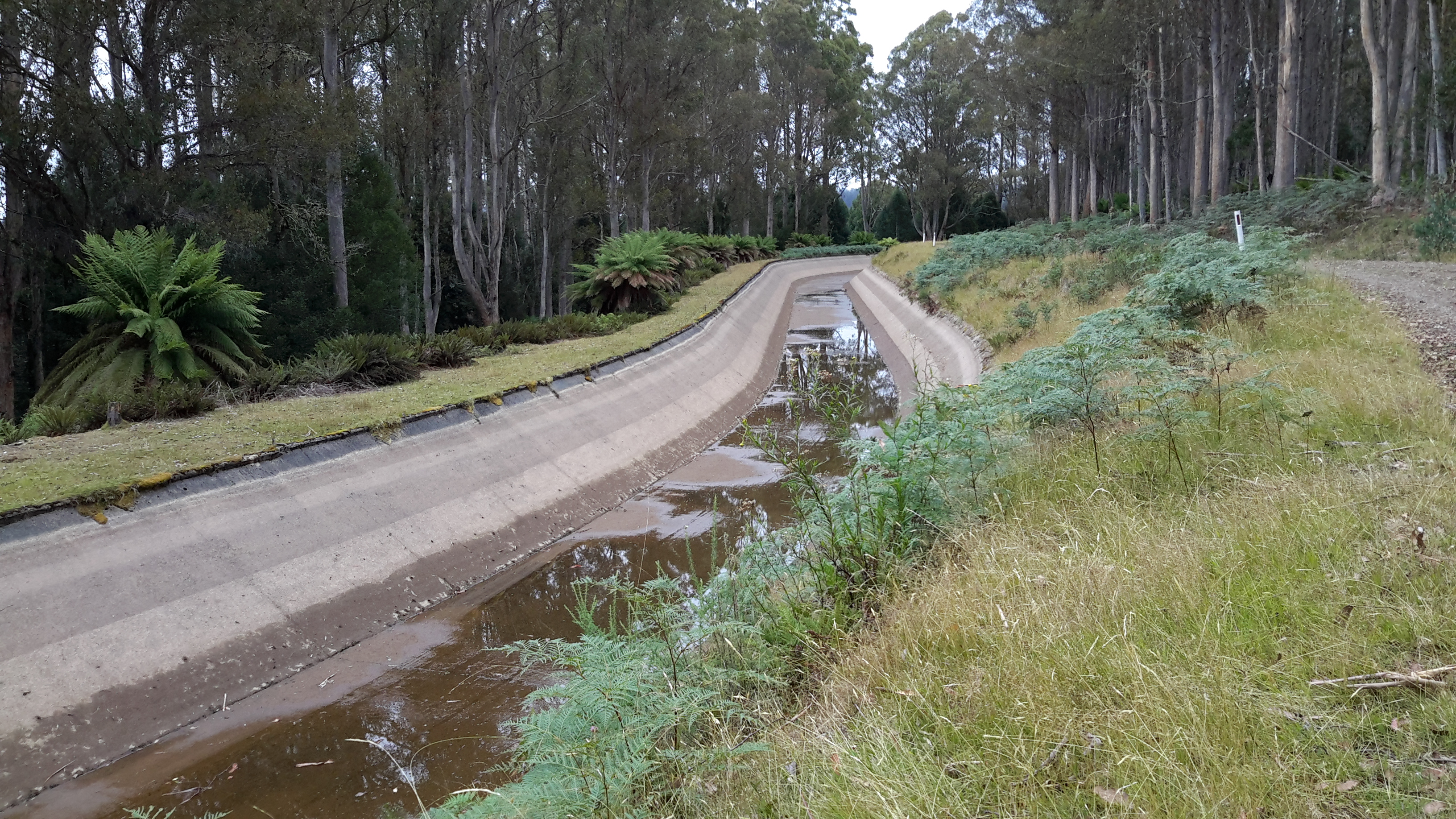
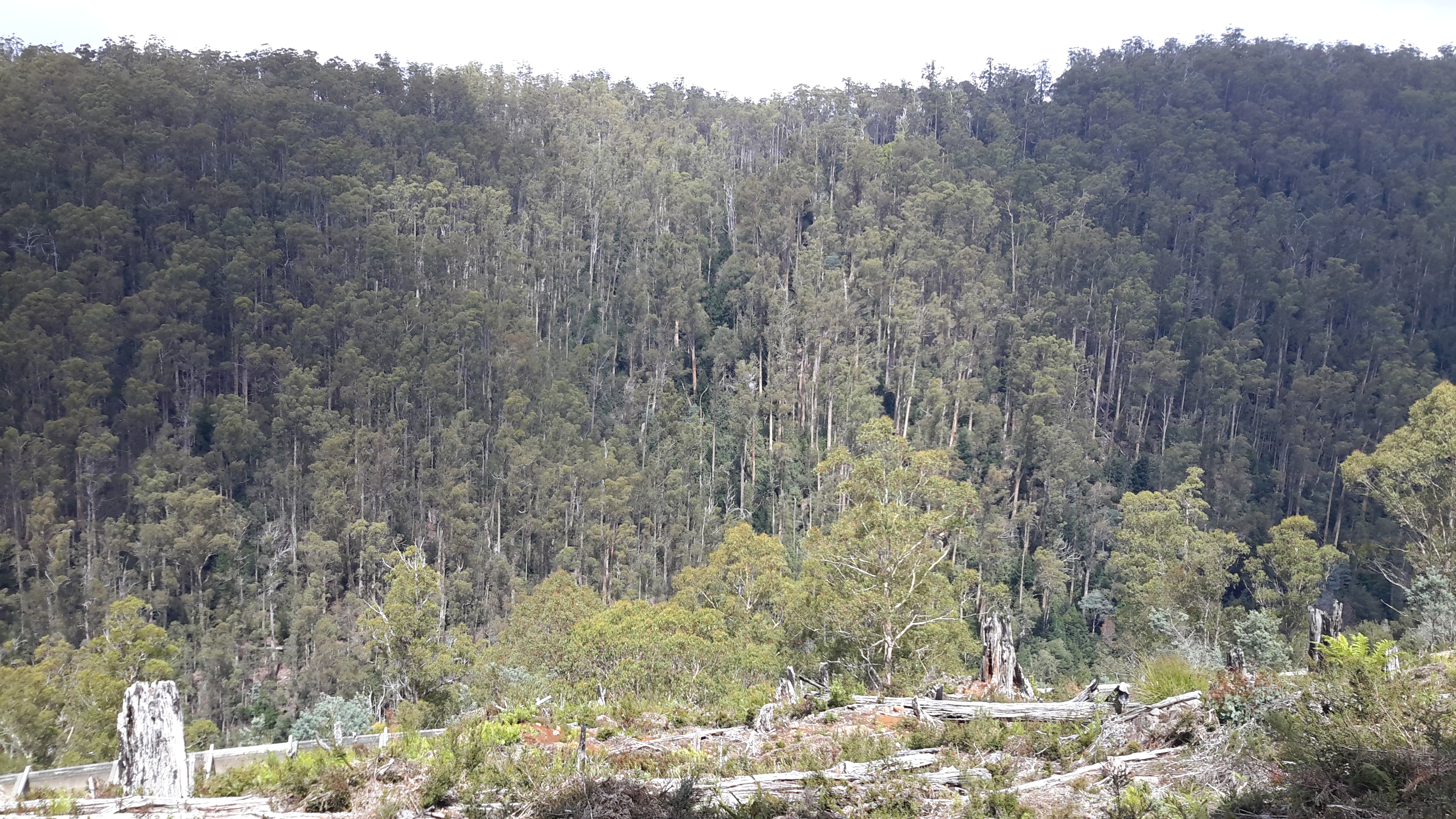
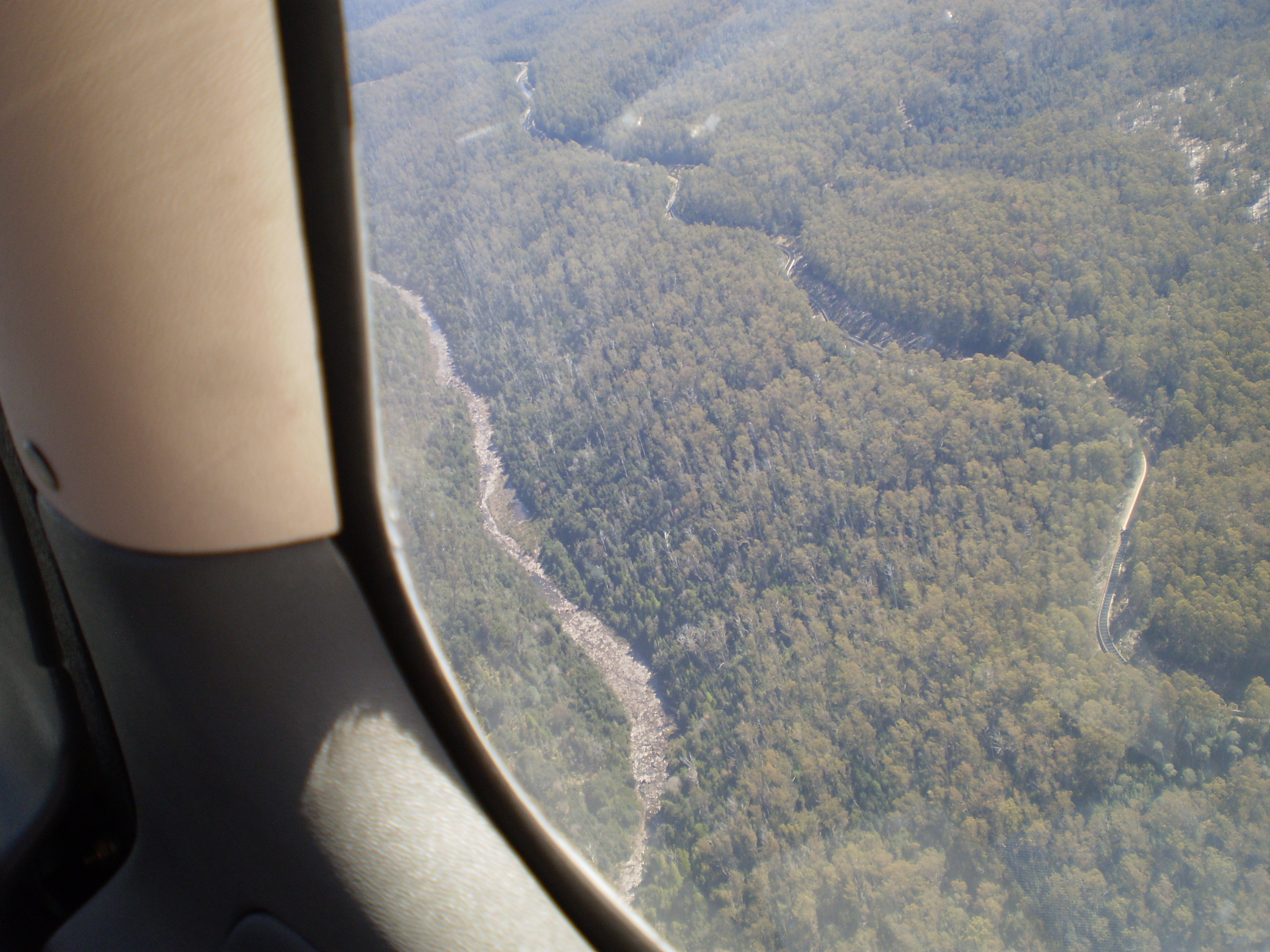
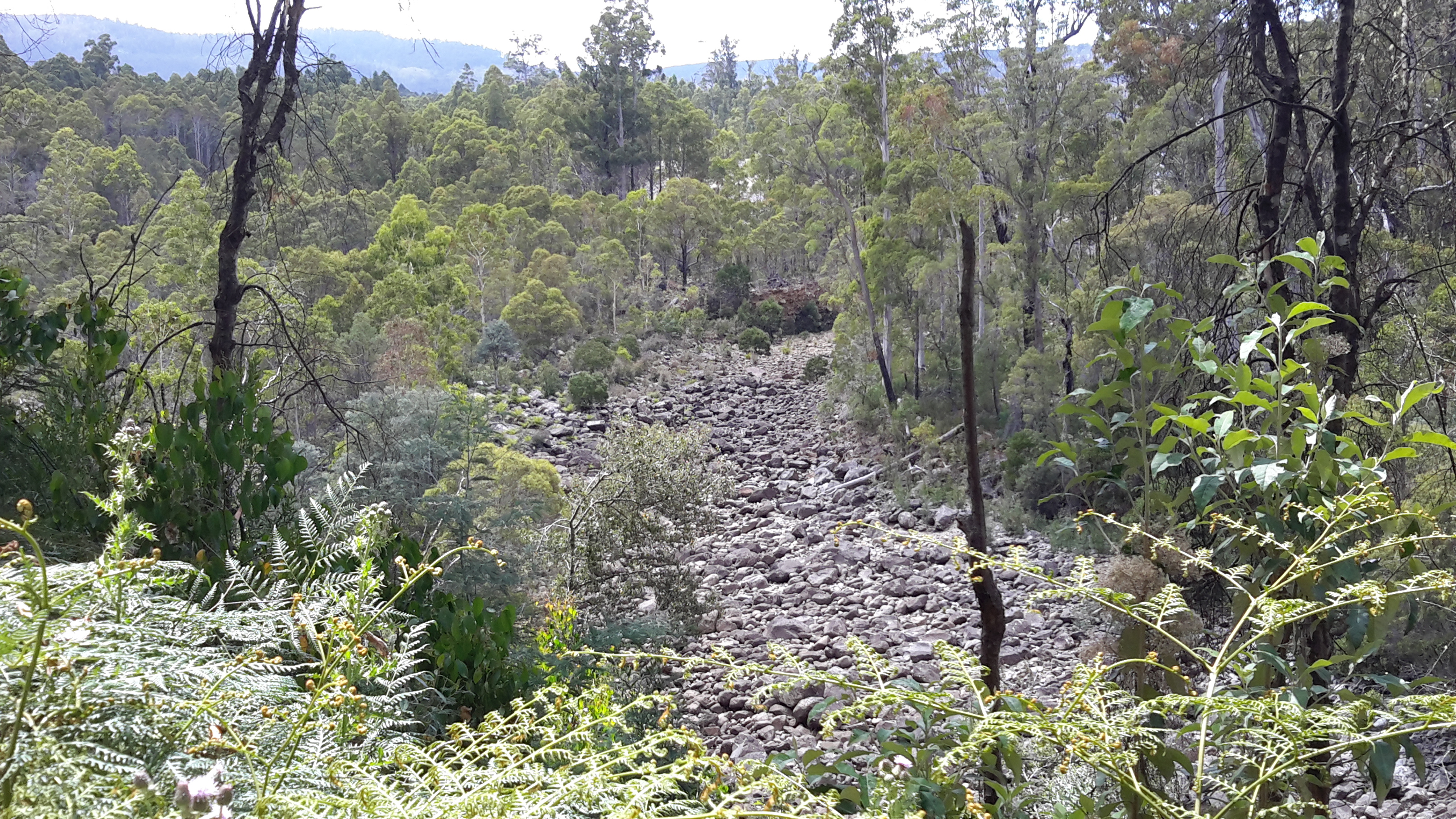
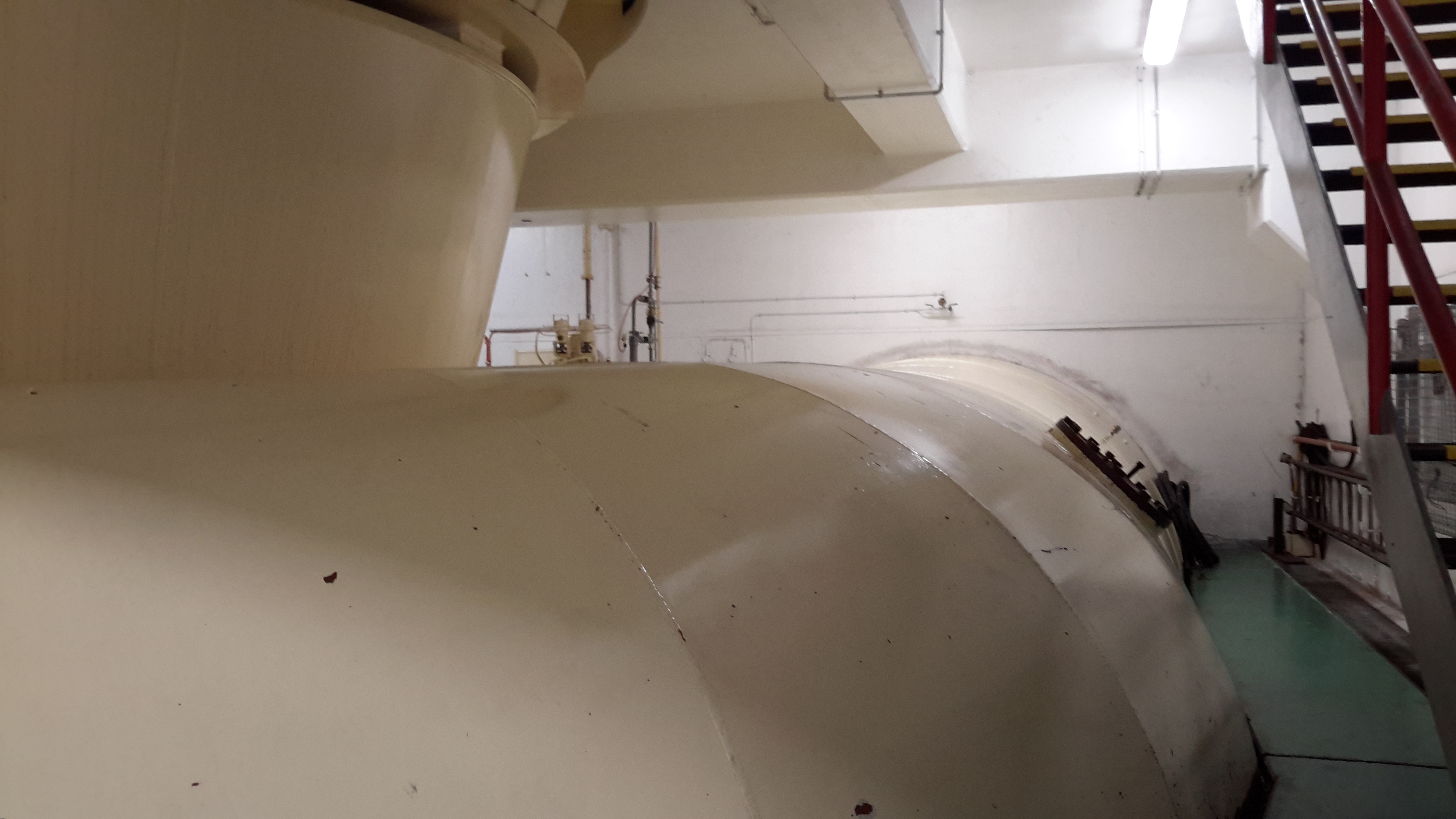
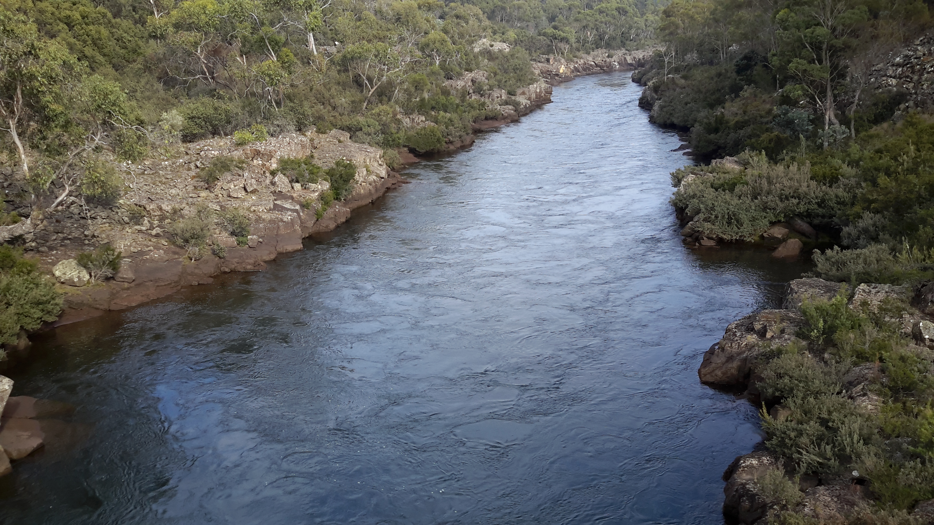
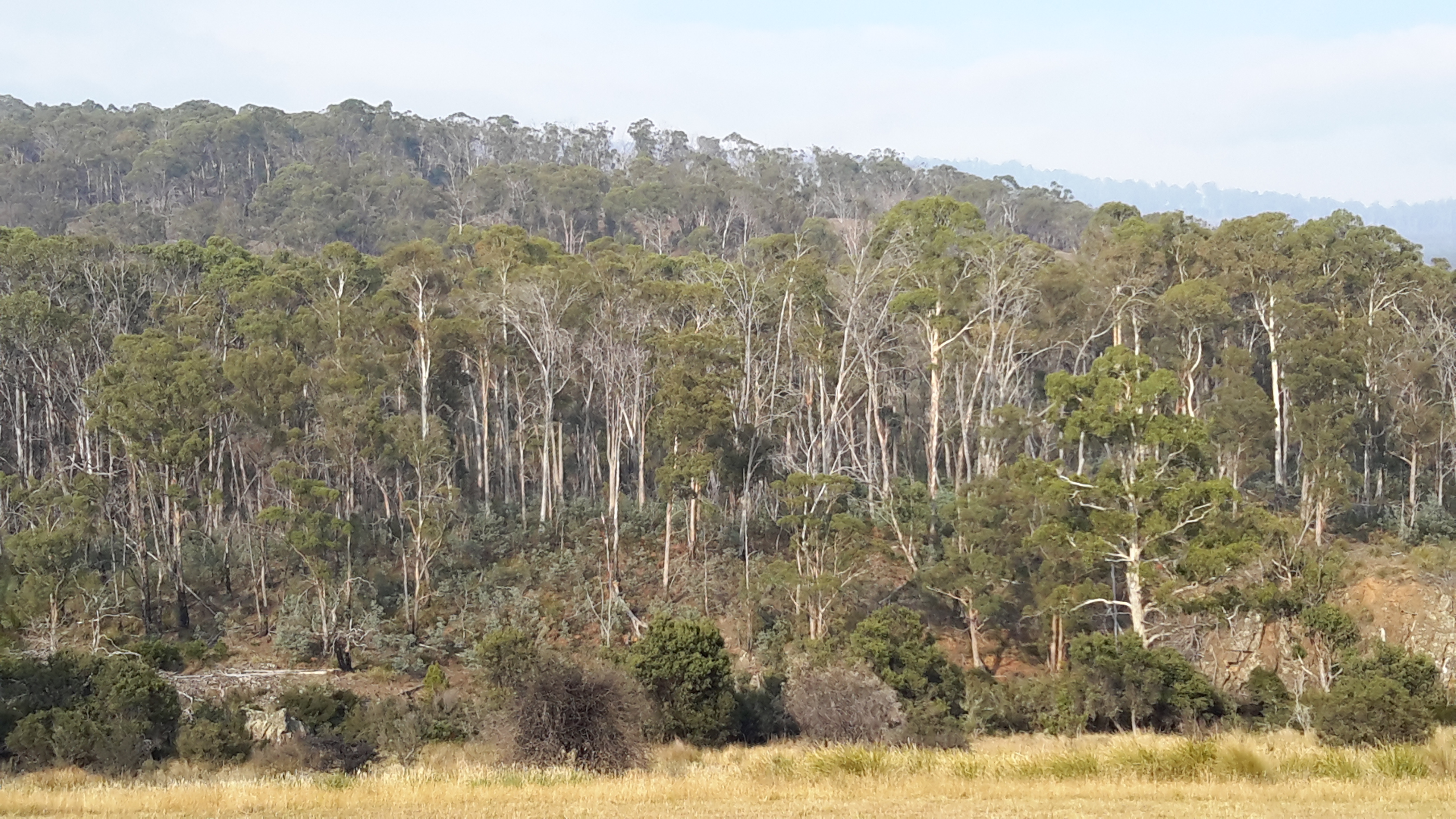
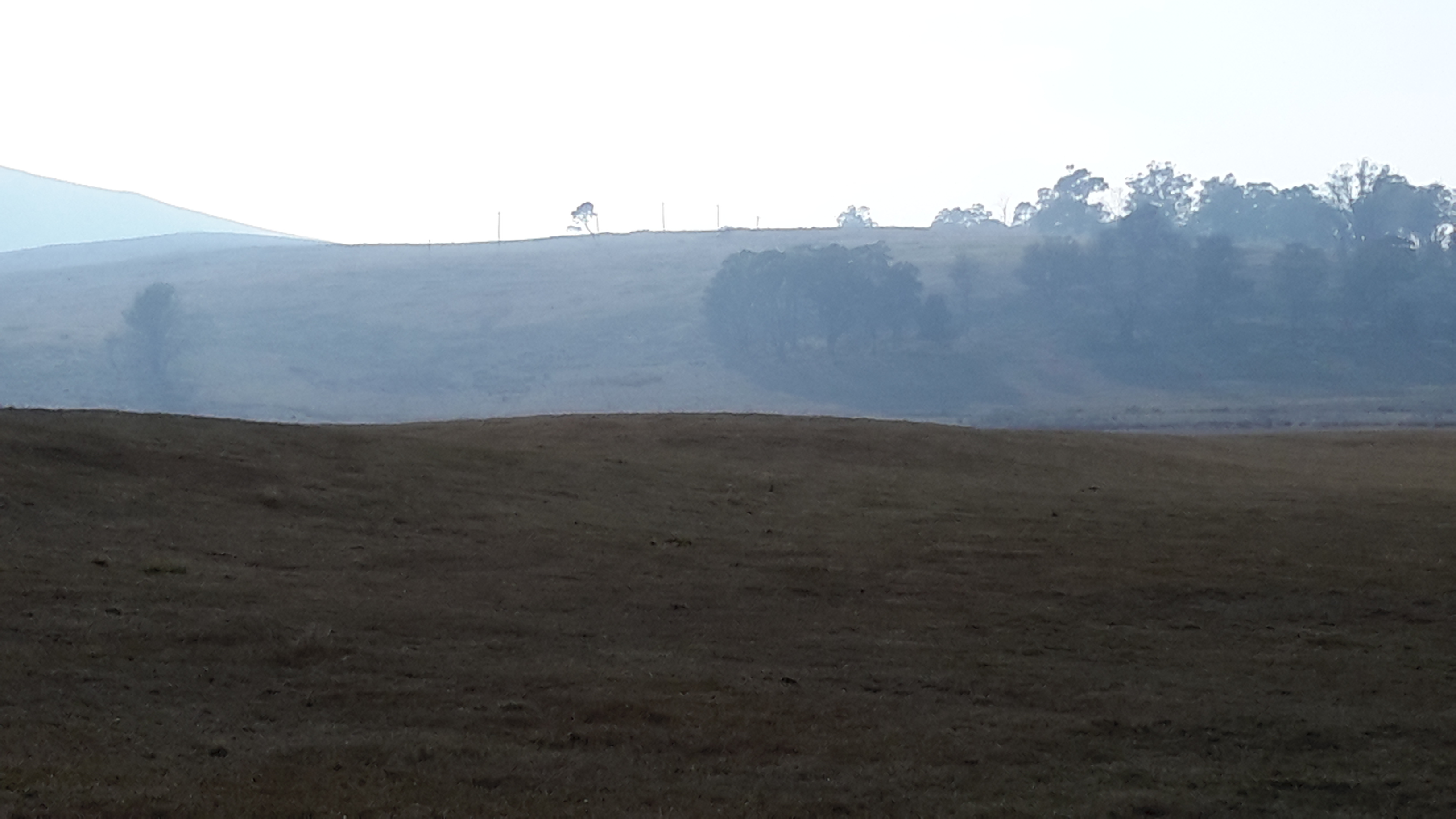
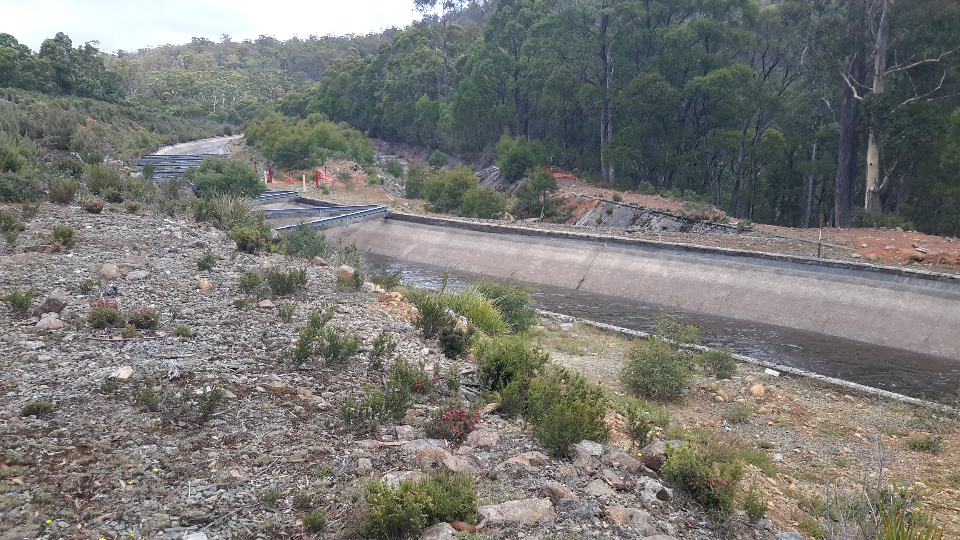
Blog followers may remember that at the start of my walk against Tarraleah Canal number 1, I was surprised to see an empty Canal.  Later in my walk I was even more surprised. After a few hours of walking, I stopped, looked, frowned, looked again and peered more intensely. A dribble of water was moving.  I blinked furiously.  Was I imagining that the water was running? No – the water was flowing.  Wow!  I was here on a day which next to nobody ever sees: a dewatered Canal and then one which is filling.  What a thrill.

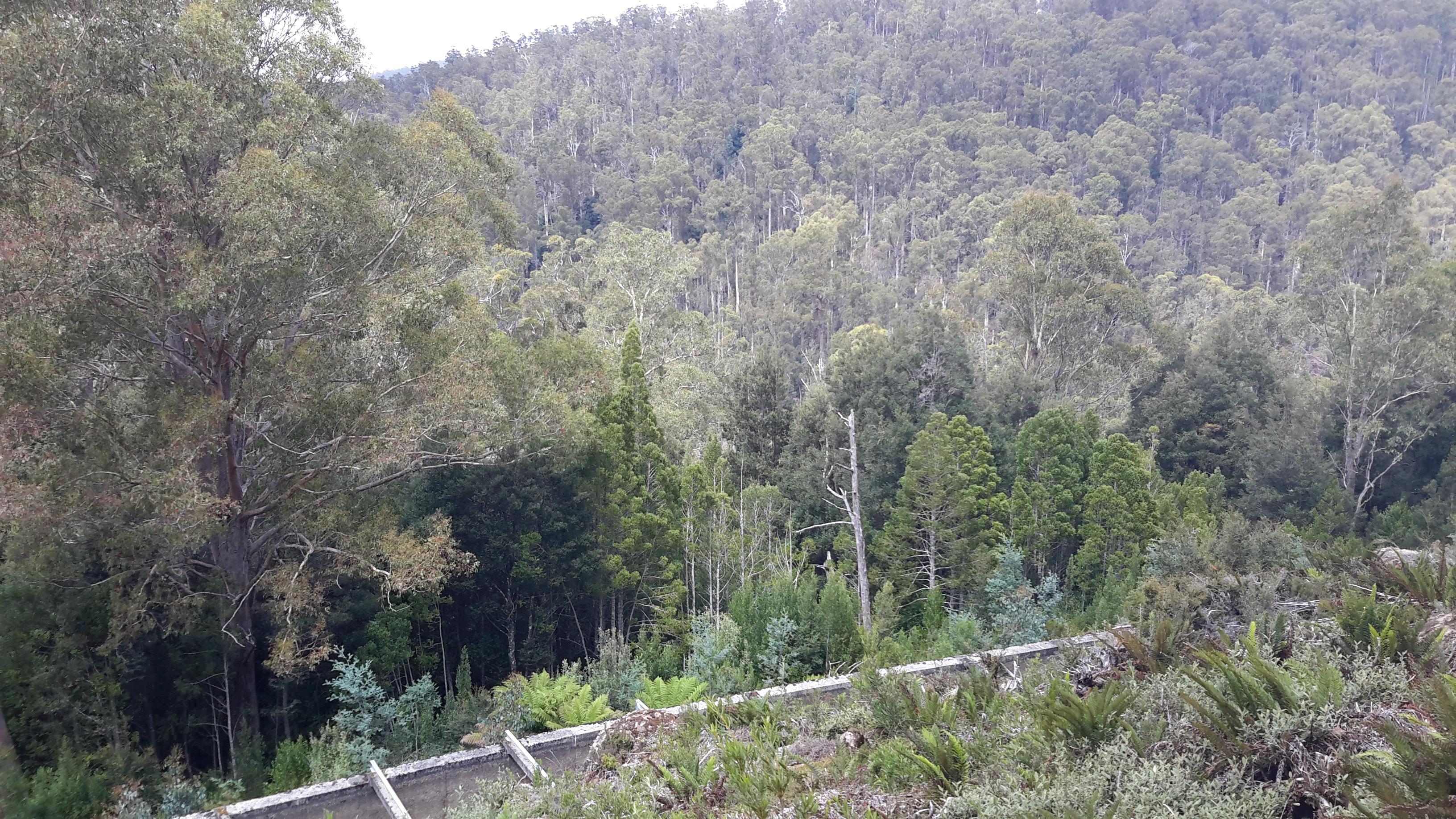
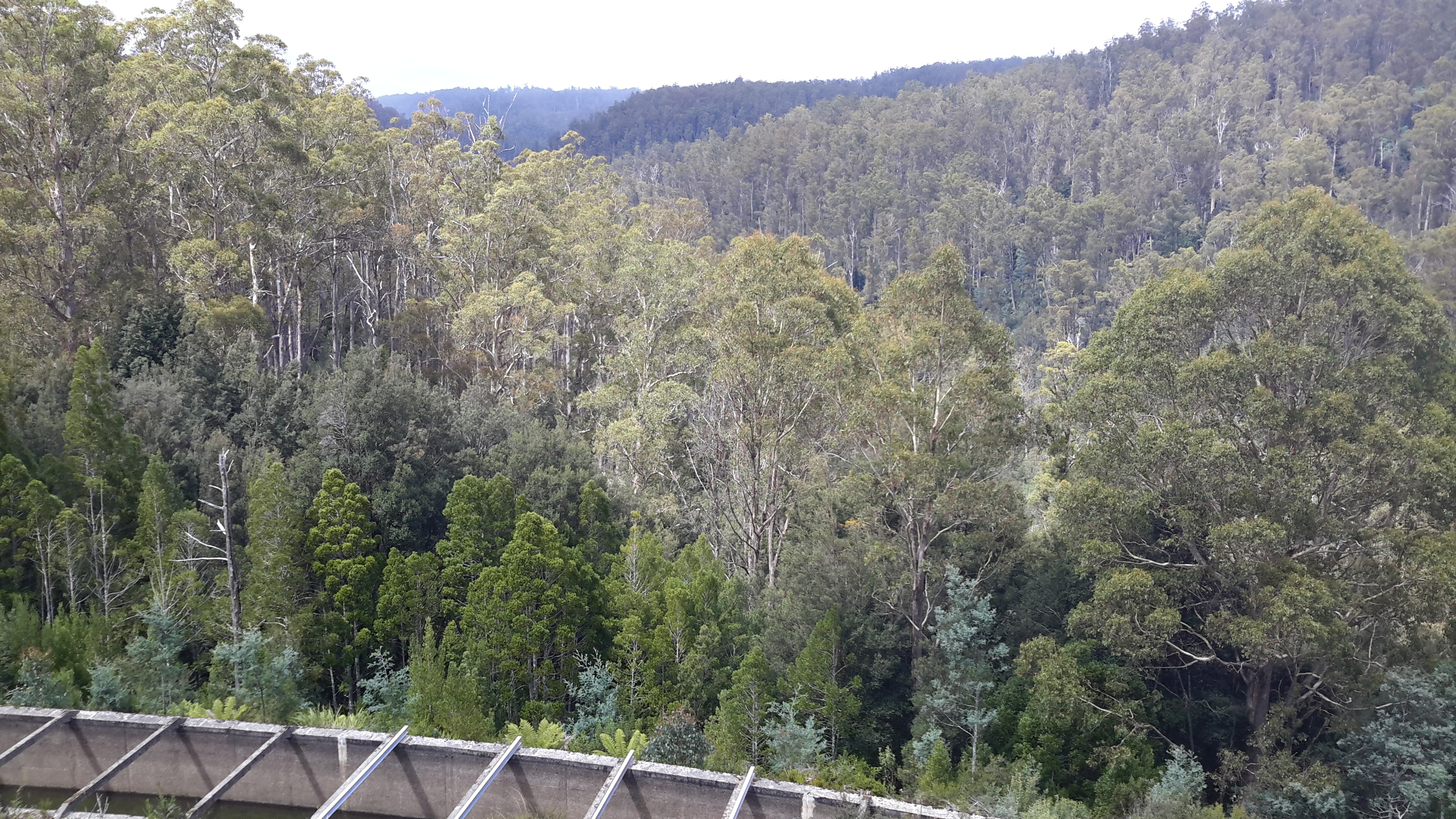
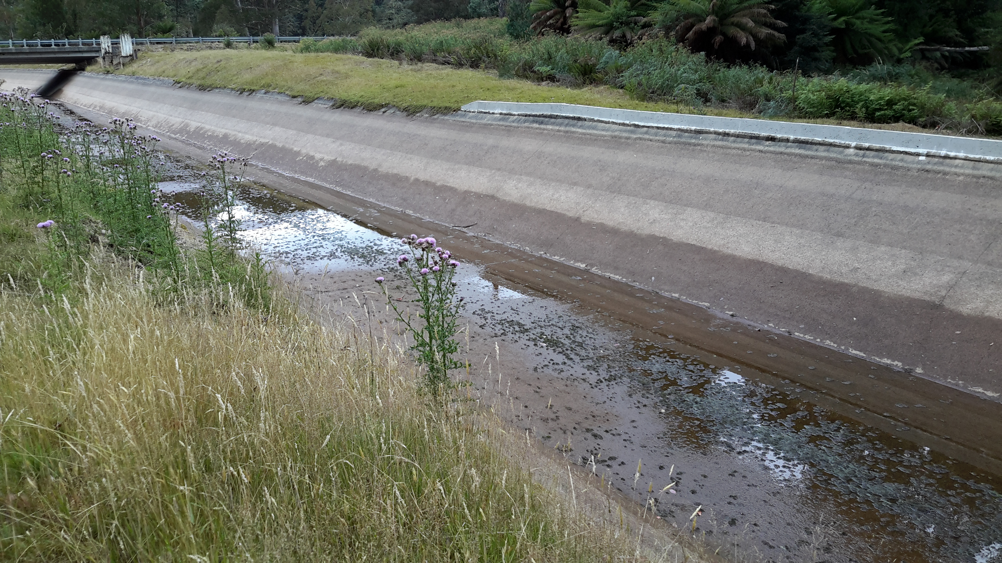
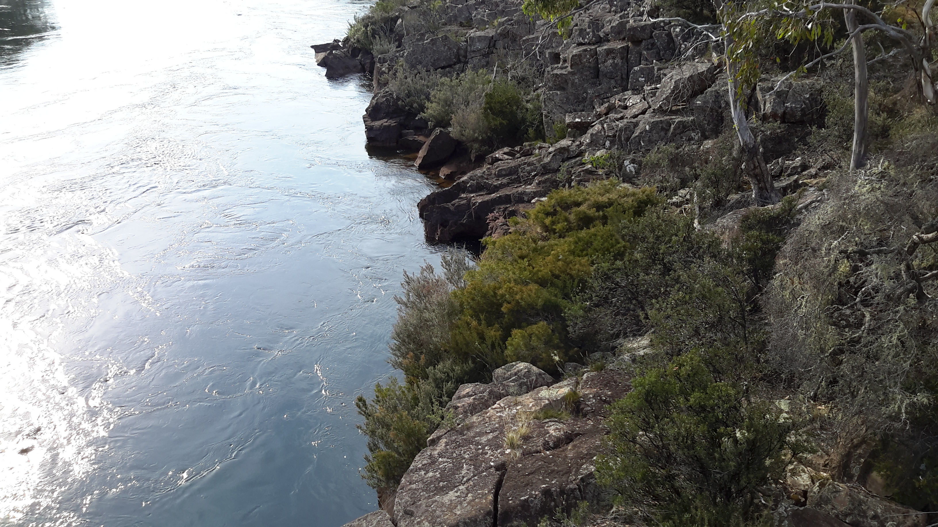
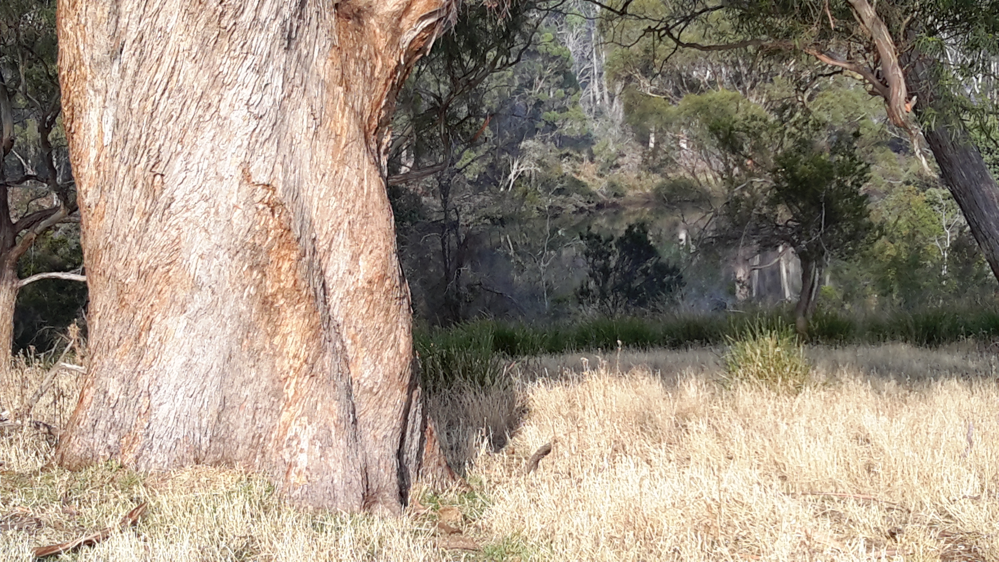
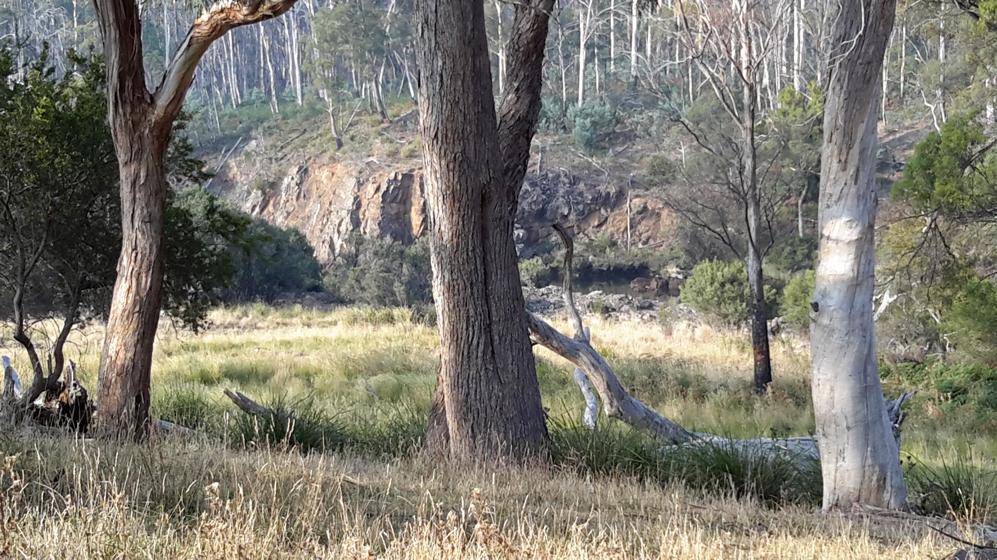
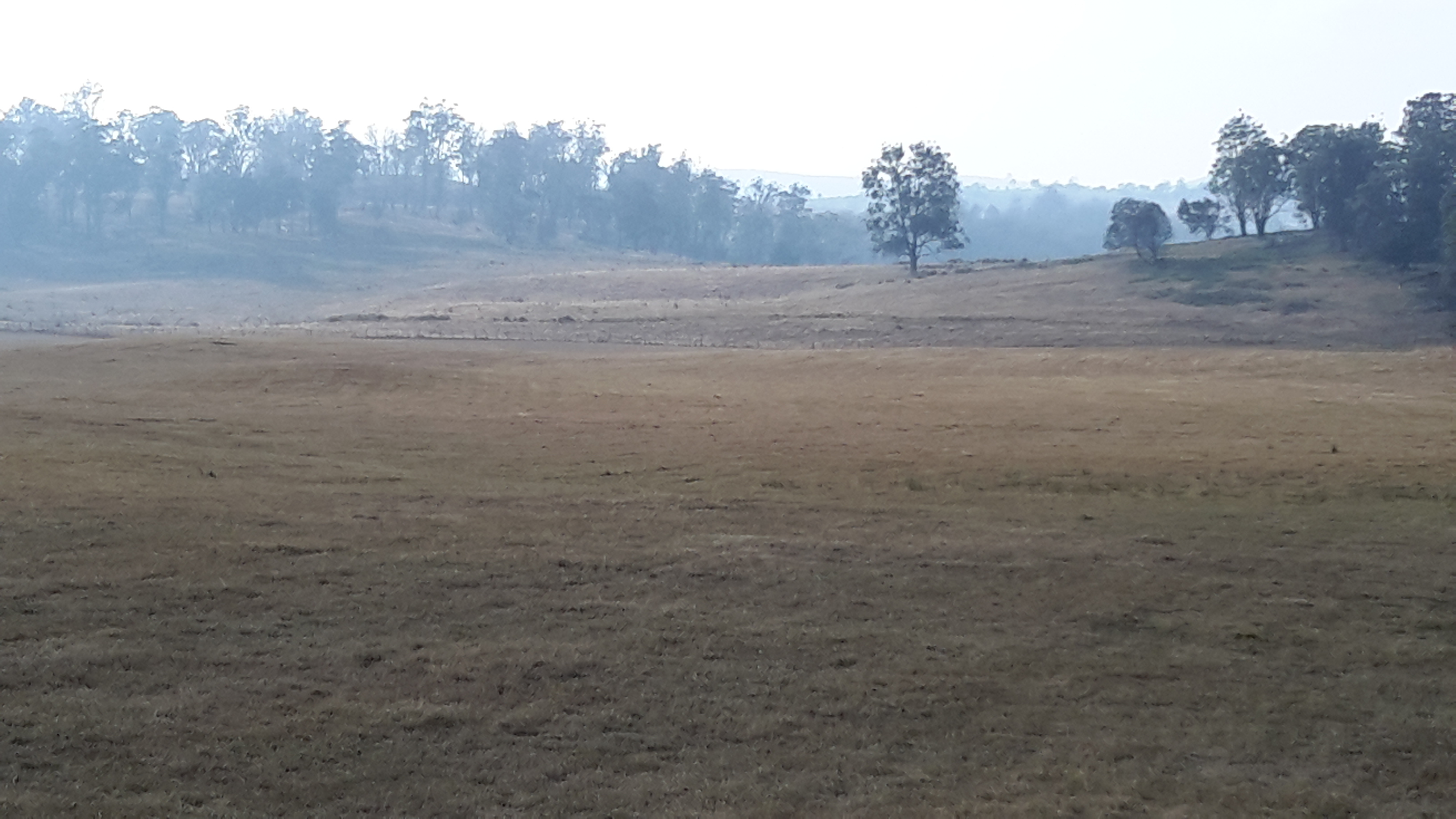
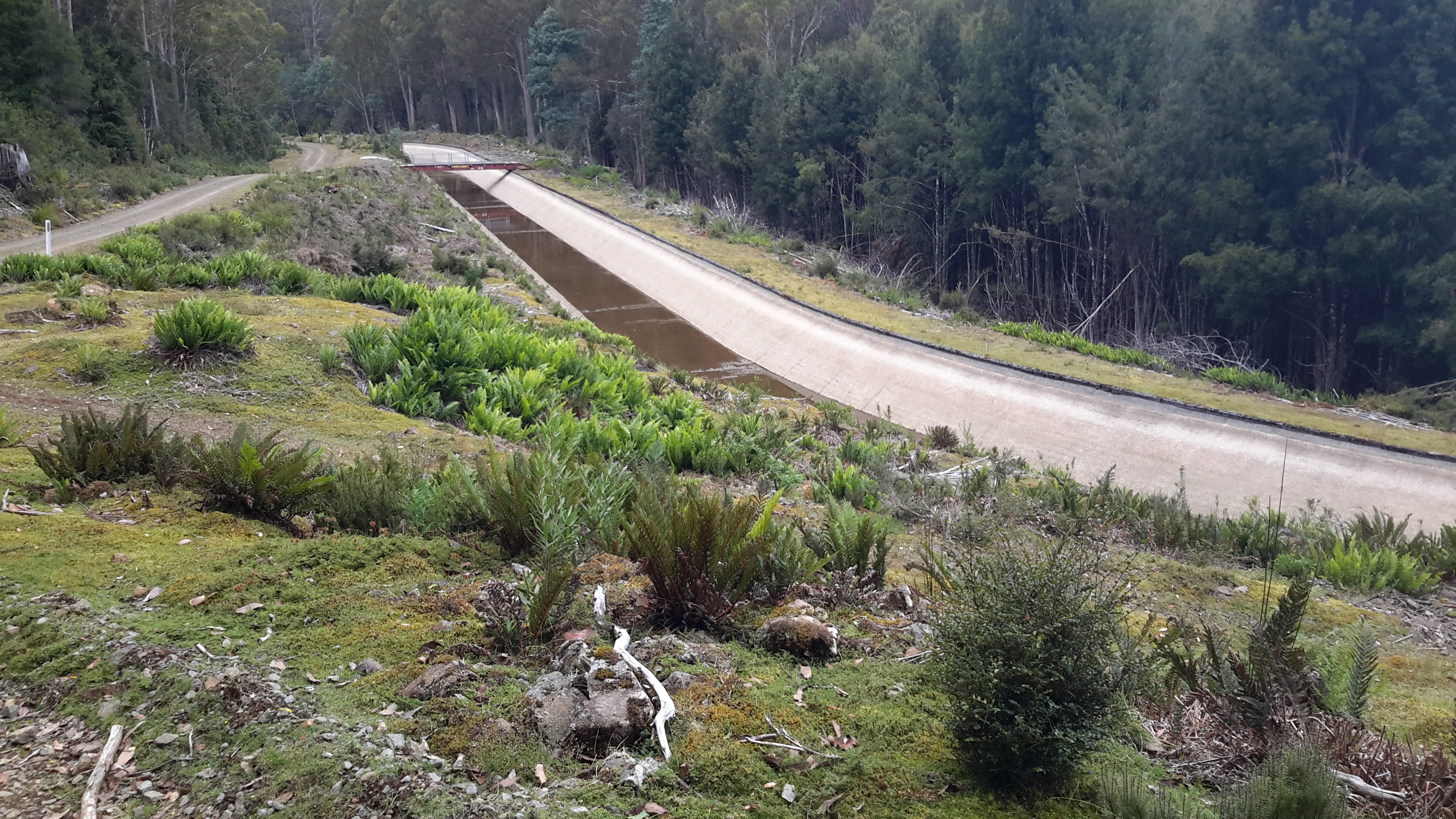
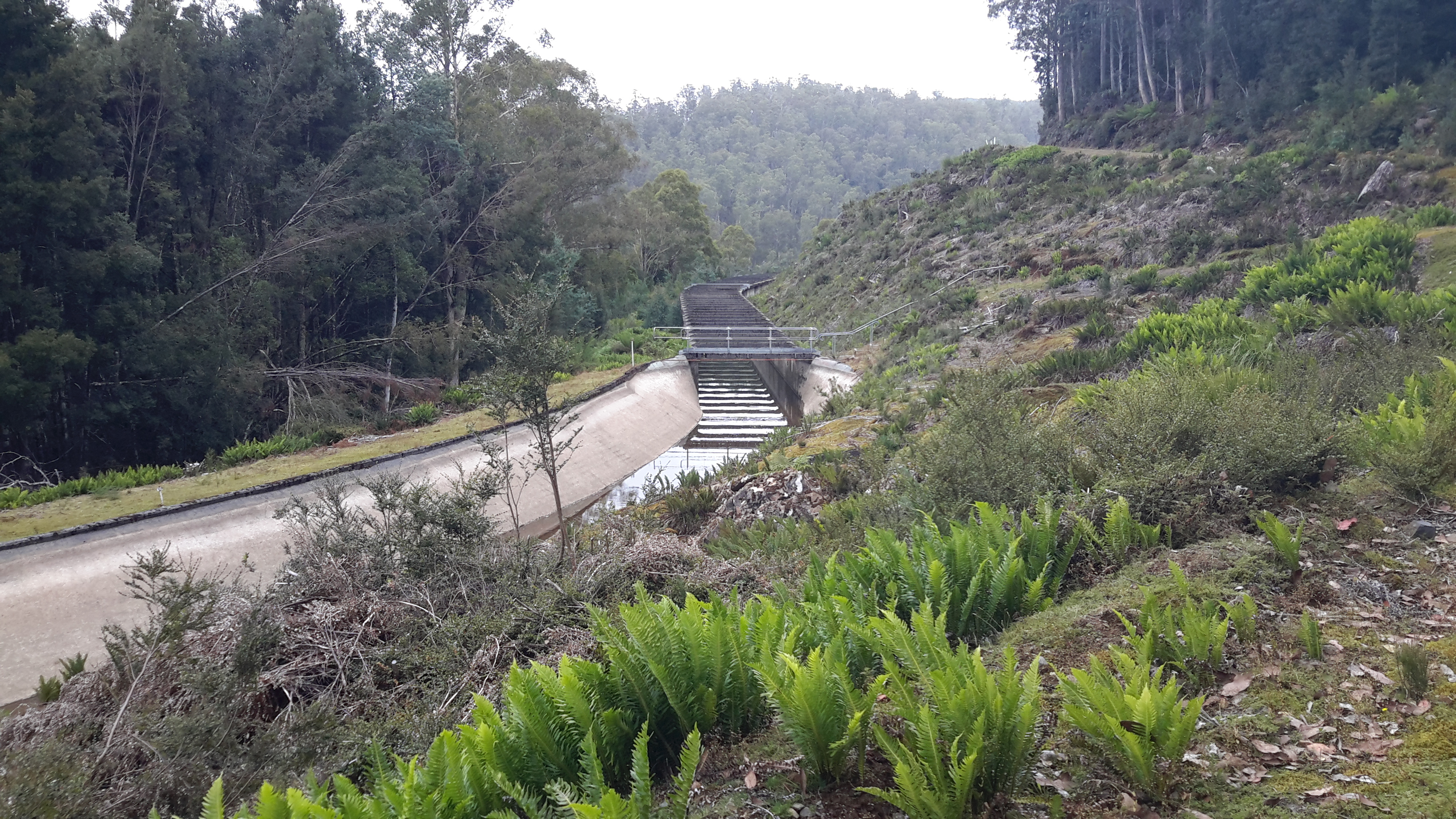
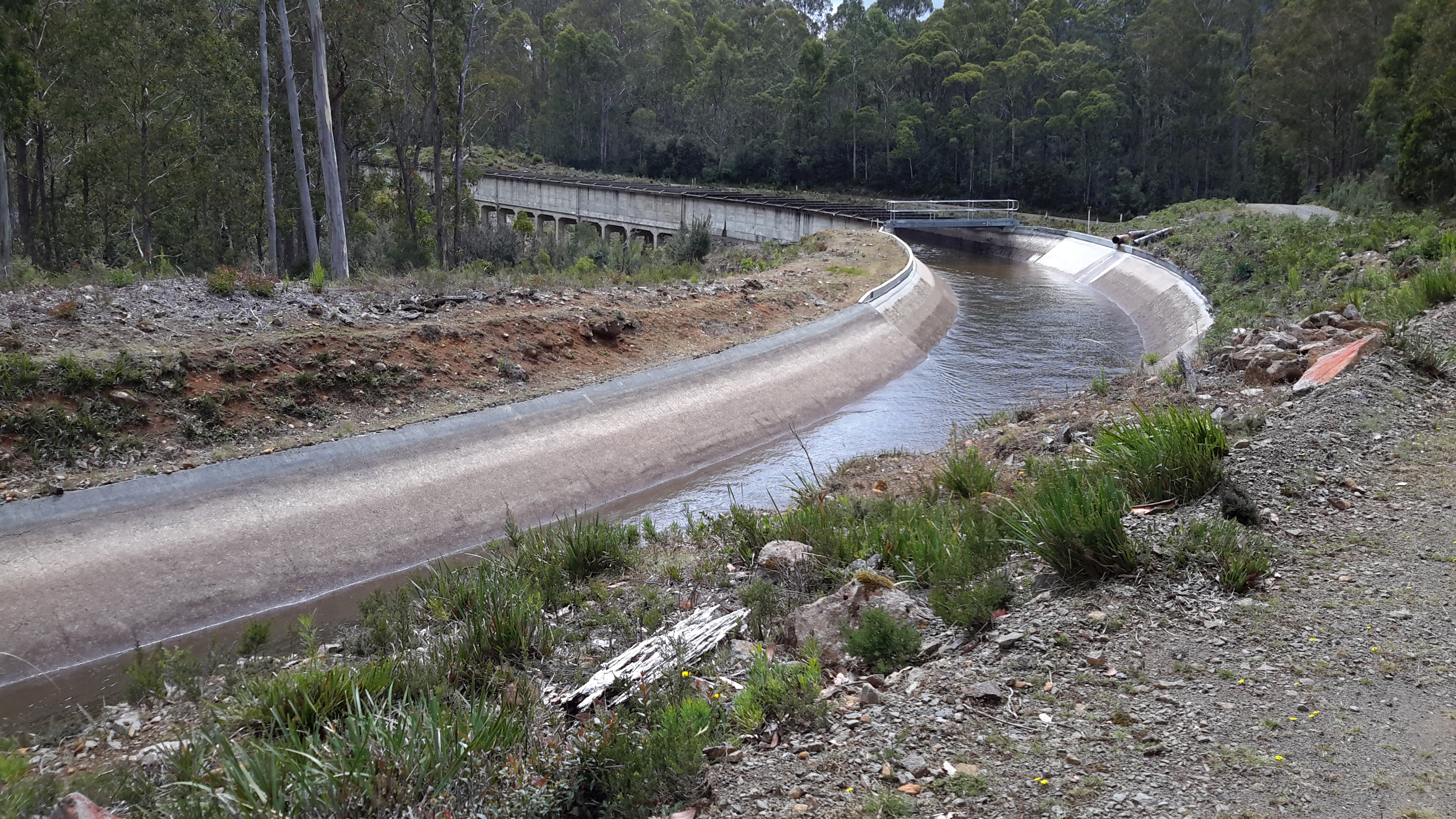
In the photos below you can see that the water level is edging higher up in the Canal the closer I walked to my destination and the start of the Canal at the Clark Dam.

20160218_130006.jpg

20160218_125825.jpg

20160218_133037.jpg

20160218_140141.jpg

20160218_141603.jpg

20160218_142814.jpg

20160218_144119.jpg

20160218_145513.jpg

20160218_150956.jpg

20160218_152504.jpg

20160218_152945.jpg

The speed with which the water flows can be appreciated in the video.

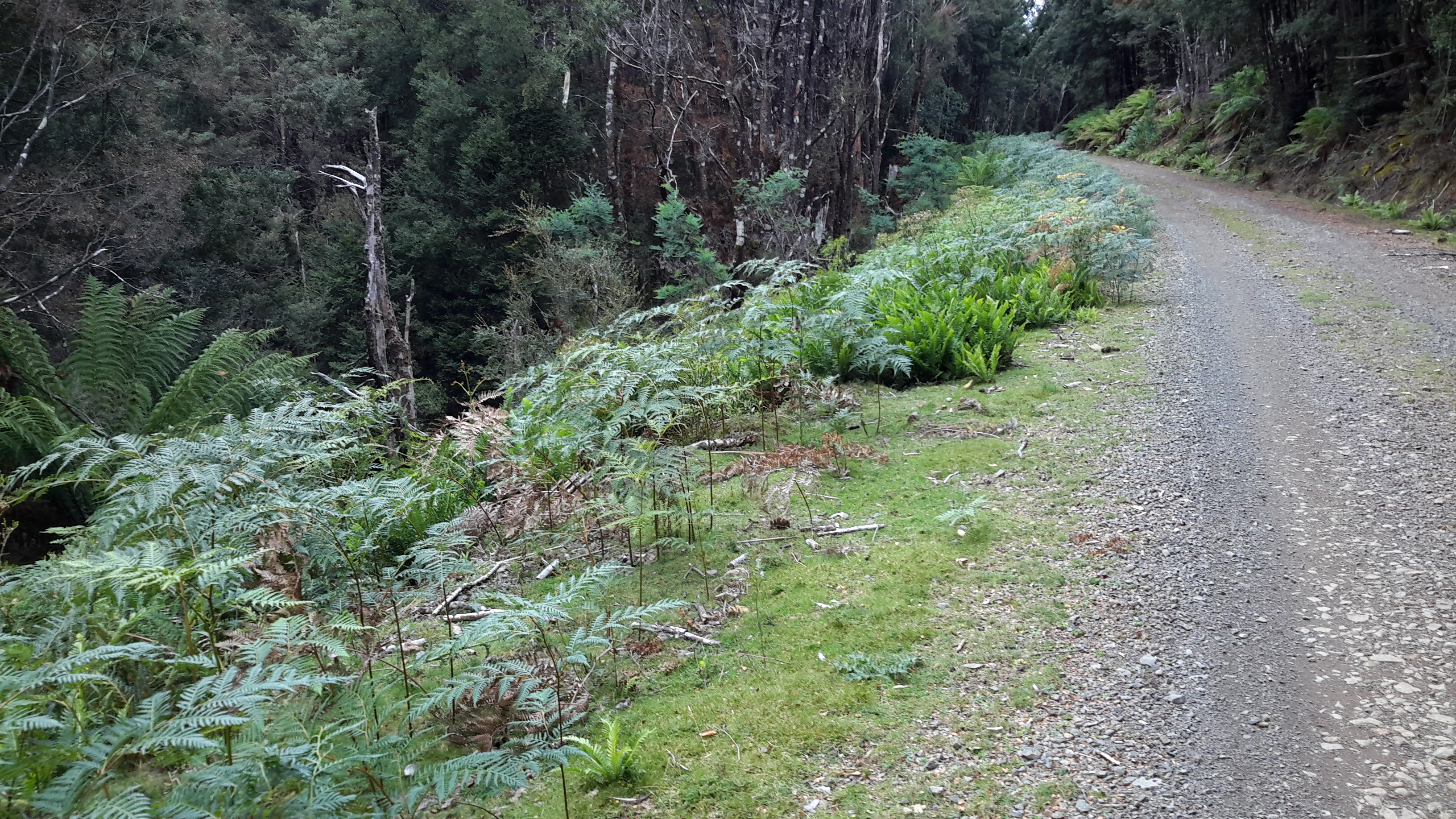
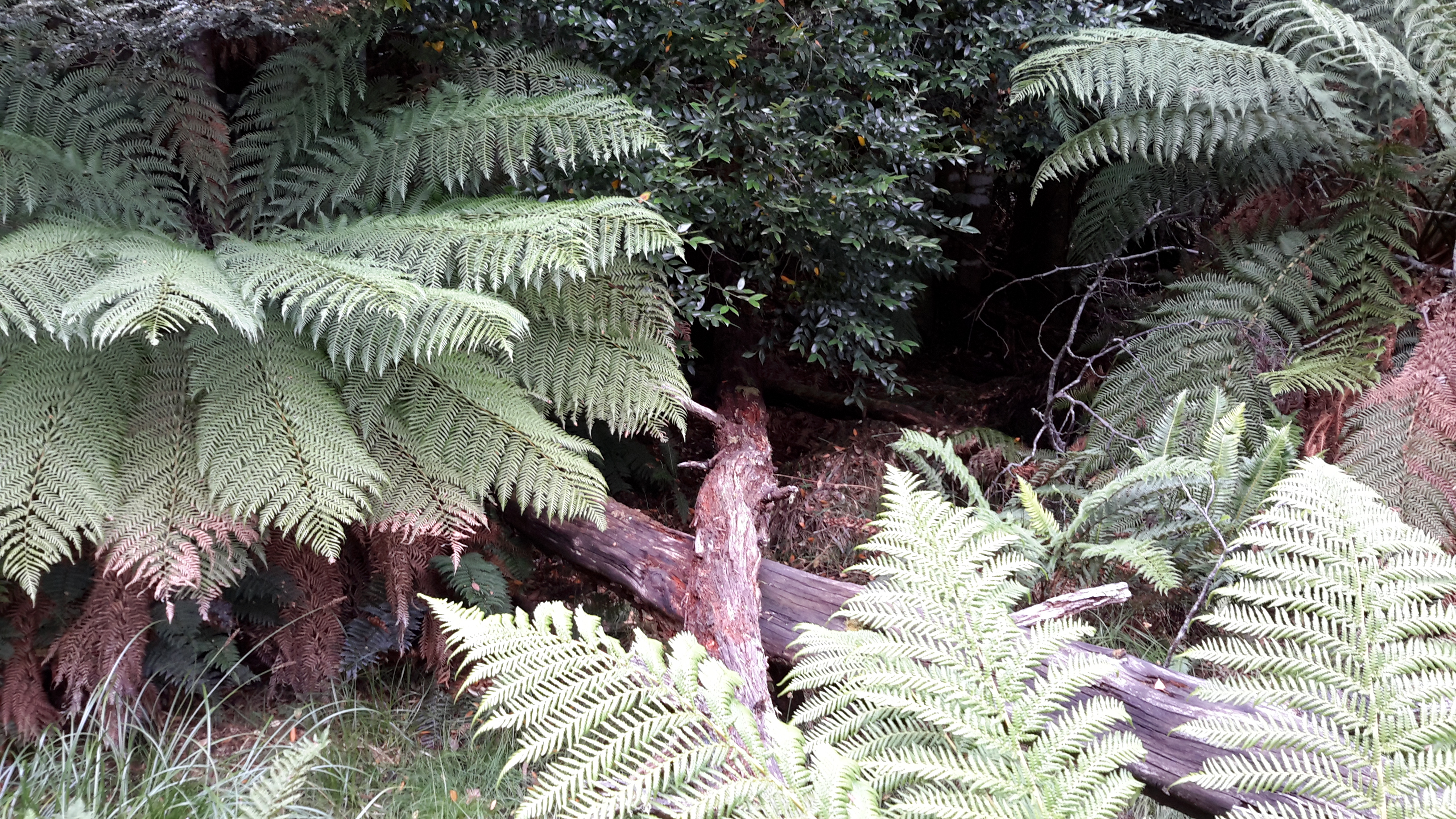
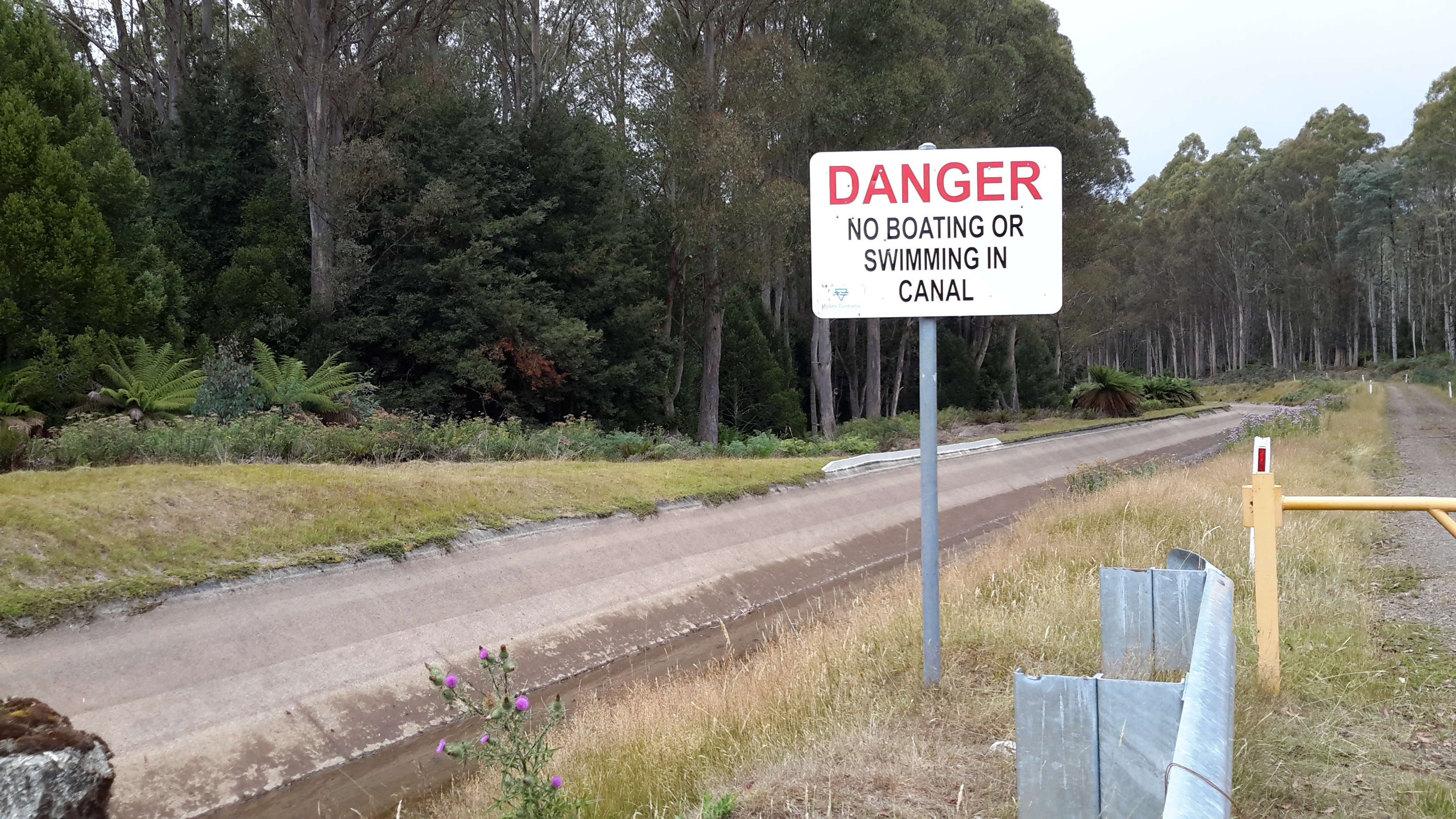
Any person who decided to drop down into the empty Canal would have no way to clamber up and out over the deep smooth concrete sides and would be trapped.  If you fell in once water ran through the Canal, then the speed would quickly whizz you into the penstocks and before long you would be filtered out in tiny pieces at the Tarraleah Power Station before the water proceeded along at a crushingly powerful pace to create electricity.  I guess the remoteness and isolation prevent idiots from discovering this snaking gem – or maybe even idiots can appreciate the dangers.

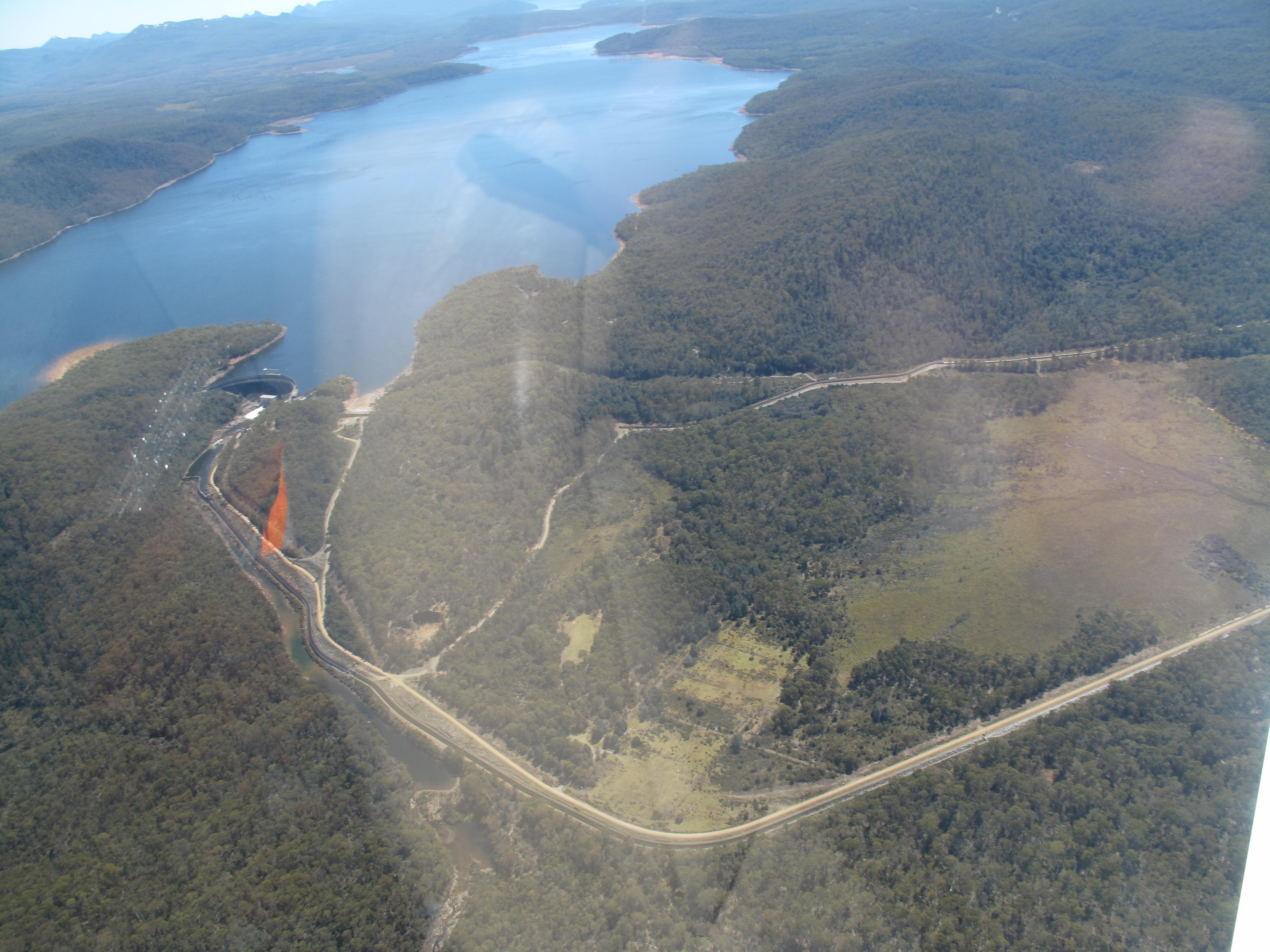
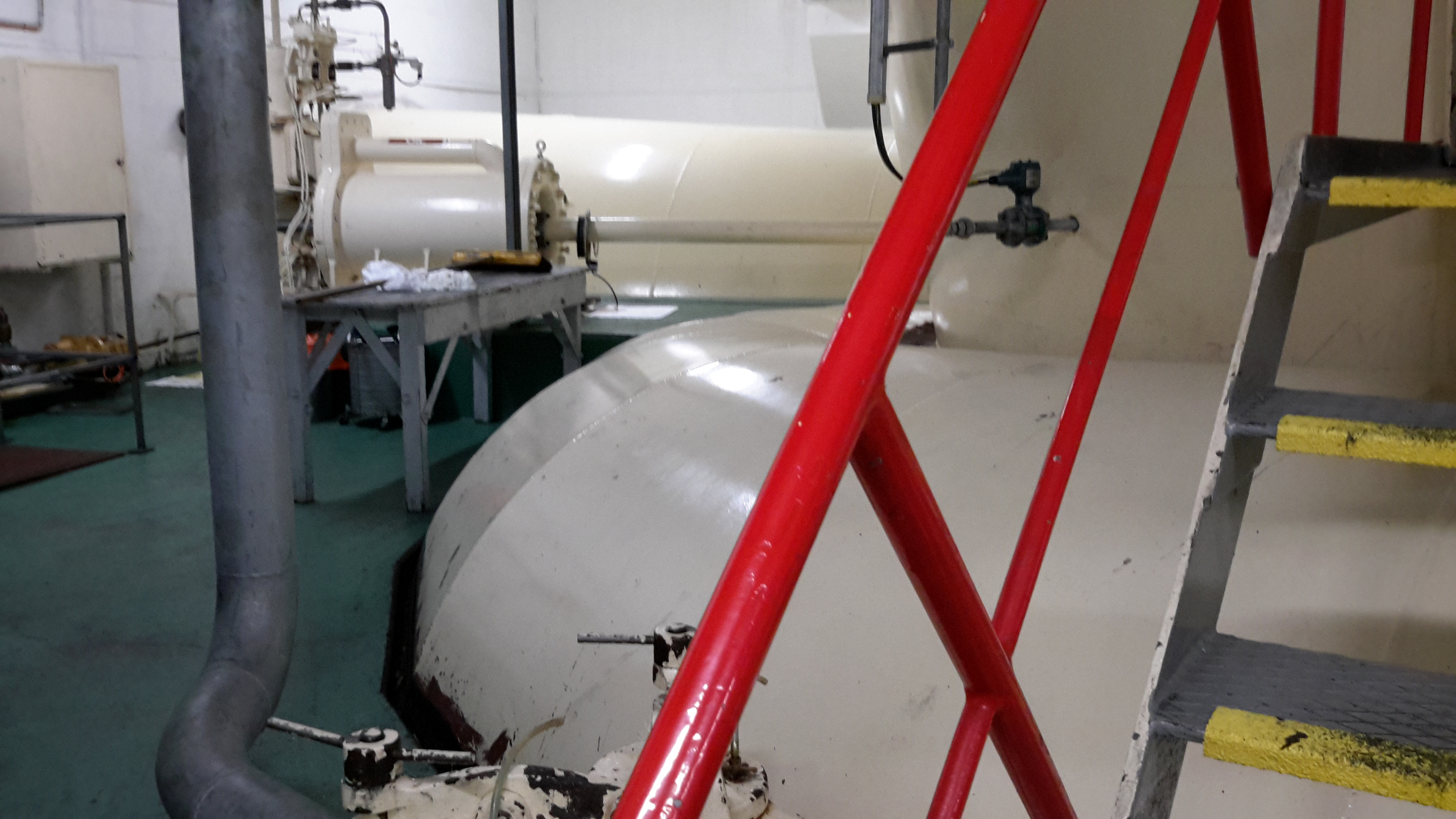
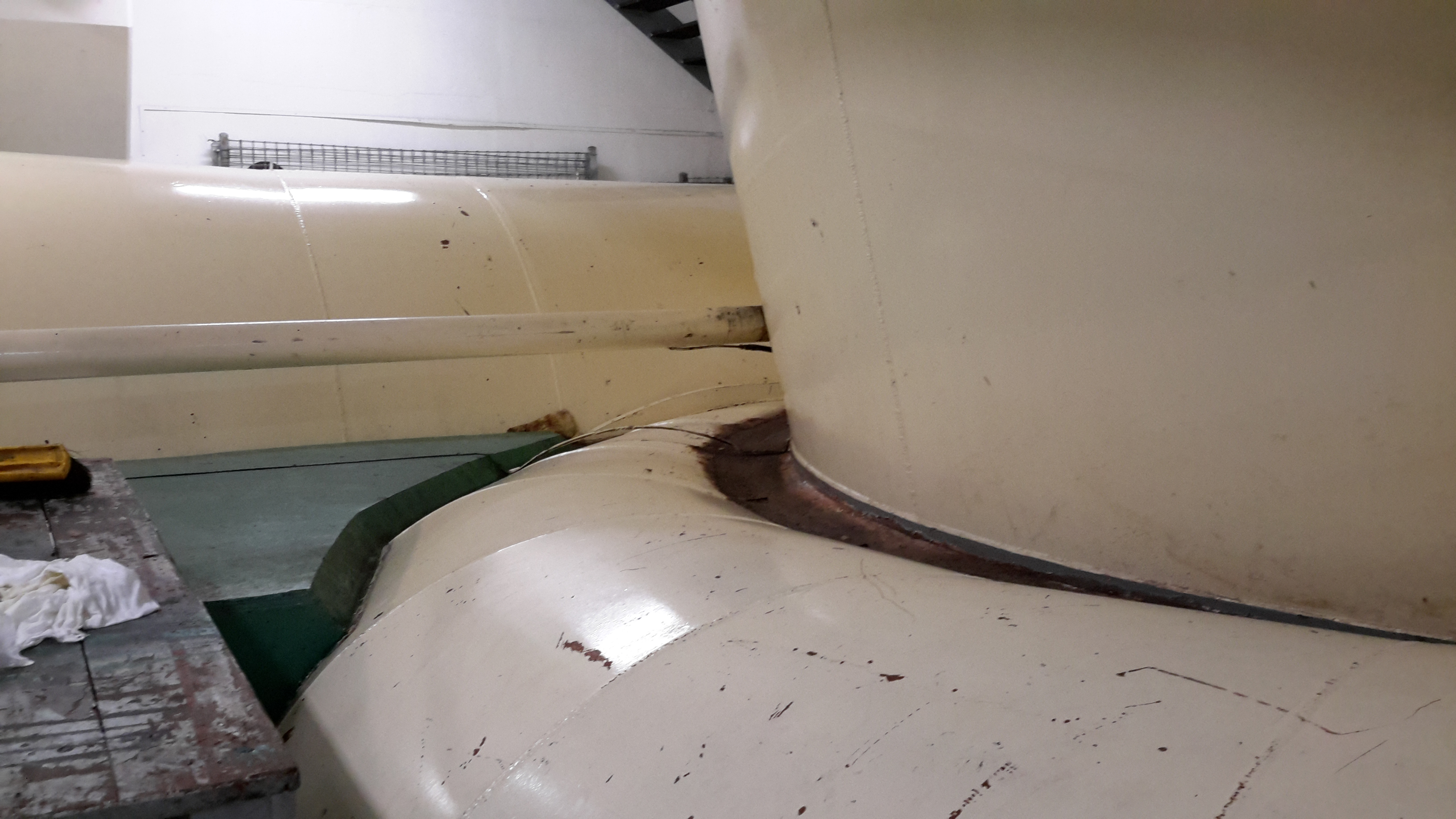
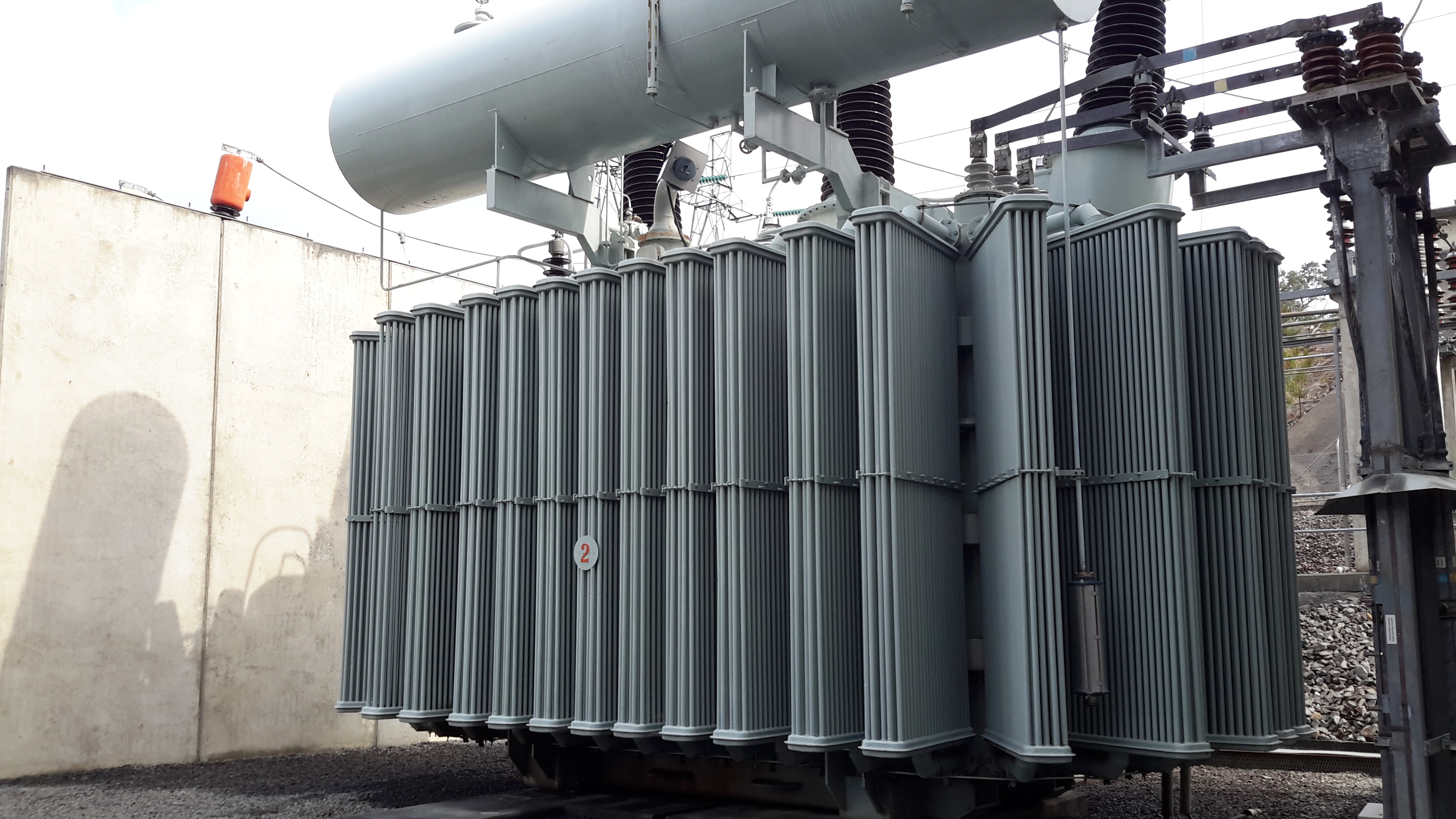
Thanks to Tim, a Hydro Tas mechanical engineer who was working at the Butlers Gorge Power Station (Clark Dam) on the day of my walk and who was kind enough to drive me back home to Hobart, I know Hydro Tasmania had deliberately ‘dewatered’ the Canal in order to complete maintenance work at the Butlers Gorge Power Station and at the Tarraleah Power Station.  Obviously tonnes of water pressing through while someone changes a valve or whatever, means the job won’t get done.  While Canal number 1 was dewatered, Canal number 2 a little further inland was running full with water in order for the Tarraleah Power Station to continue to generate electricity.

When I met Tim at the end of my walk, I learned he was responsible for the final maintenance and the rewatering. On his mobile phone he had taken photos and a short video of the first cylindrical gush of water – he was as excited as I. The power of the water was obvious.  A perfect picture of a powerhouse for generating electricity.

I learned that it would take the Canal two hours to reach full capacity between Clark Dam and the Tarraleah Power Station.  I had seen all stages: the Canal empty and later with a dribble across the bottom.  Then the closer I came to Clark Dam the higher the water reached up the Canal walls.  By the time I reached the start of the Canal near the Dam, the water level was at its highest but for some reason I don’t have photos after a certain point back down the road – frustrating.  I know my feet were hurting and I was plodding with determination to reach the end.  I suspect that I lost focus on maintaining a photographic coverage of the whole distance. Maybe someone will want to drive a couple of hours up there with me one day so I can get those additional photos.

Tarraleah Canal No 1 walk – forests and fragrance

Before I had walked more than a few metres, I was delighted to see the multi species rainforest growing densely along the edge of Tarraleah Canal Number 1 and by the side of the Hydro Tasmania vehicular track next to the Canal.  The air was clean so that every hue of green, grey and brown provided a clear and rich visual texture.  The environment uplifted my spirits.

20160218_102527.jpg

20160218_102648.jpg

20160218_103259.jpg

20160218_103616.jpg

20160218_114433.jpg

20160218_115335.jpg

20160218_122651.jpg

All day I revelled in the fragrance emanating from the forest.  It was one of my walk’s great highlights. Thankfully my nostrils did not sniff out rotting animal odours.  From midday into the early afternoon when the air was warmest, the natural oils of the trees dispersed creating a strong natural perfume.  I could not identify all the trees that were visible leave alone those that were hidden in the dark thickets.  Therefore, I could not identify what I smelt.  I tried to think of words to describe the smell, but every description I considered is woefully inadequate. All I can say is that there was a hint of eucalyptus but a stronger minty-like freshness floating and pervading the environment.  I would love to be able to bottle that forest fragrance.

The quantity and volume of tree ferns astonished me as did how close they grew to each other. I guess that the disturbance to the ancient original forest, which occurred when the Canal was built, caused a monoculture of these plants to thrive.  Another of my walks, the one between Wayatinah and here, passed through this ridiculously dense bush. Often there wasn’t a person-sized space between the tree ferns, but I will write more about that challenging walk in a future post.


20160218_102537.jpg

20160218_104004.jpg

20160218_110020.jpg

20160218_110820.jpg

20160218_114642

This hilly landscape with the old Derwent River bed at the bottom constantly surprised me. I could see that thick seemingly impenetrable forests grew either side of the river bed.  In the photo below, the land drops steeply to the river bed and then rises equally steeply on the other side.  For much of the length of the Canal, when I looked at 150 metres of land across the flatness of a map, I realised the Canal was 250metres above the river bed; both the length and the steepness of the drop seemed extraordinary to me.

20160218_130226.jpg

20160218_130400.jpg

20160218_130702.jpg

20160218_130625.jpg

Towards the conclusion of the walk the nature of the vegetation seemed to change from dense wet thicket to a dryer and slightly more open landscape – or was it my imagination.

20160218_141341.jpg

Tarraleah Canal No 1 walk – where is the water?

My walk started well with the Tassie Link bus depositing me on the Lyell Highway at the junction with Butlers Gorge Road, a very isolated spot.  The day was overcast and sufficiently cool to make for extremely comfortable walking.

20160218_101736.jpg

Instead of following Butlers Gorge Road I walked over to Tarraleah Canal number 1 and was stunned.  It contained no running water and green slime was growing at the bottom in sections.

20160218_102406.jpg

20160218_102403.jpg

A question pounded through my brain – where was ‘my’ Derwent River?  I was annoyed.  I was two hours’ drive from Hobart and returning home was not an option. I was here to walk my ‘choice’ of the Derwent River, yet no water flowed.  I humphed and sighed and decided to walk beside the Canal to Clark Dam despite the absence of water, and that would be my story.

Years ago Tasmania decided to sell its clean electricity supplies into the national grid and in tough times to buy in essential electricity supplies.  So an underwater pipe was built beneath Bass Strait, which separates Tasmania from mainland Australia.  In recent months the connection has failed, the Bass Link is yet to be repaired and our state has been unable to acquire additional electricity to meet our needs in the foreseeable future. Meanwhile with low water levels in our Hydro Tasmania dams, our local electricity supplies are in danger of being exhausted.  Therefore, when I saw the empty Tarraleah Canal number 1 I jumped to the conclusion that the water from Lake King William had been turned off; I thought this was a sign of our increasingly dire situation.  Later (and in a later post I will explain) I learned I was wrong.  The empty Canal had nothing to do with the Bass Link failure.

I laughed to see the warning sign.

20160218_101825.jpg

As later posts will indicate, even when empty this Canal is dangerous and should never be entered.

Tarraleah Canal No 1 walk – aerial views of the terrain

Aerial photos help to situate this part of my walk along the Tarraleah Canal Number 1.

Chantale’s first photo below looks across to Lake King William behind Clark Dam, and down onto the remnants of the meandering ‘dry’ Derwent river bed meander which can be seen in the glare near the lower edge.  The Canal winds its way next to a gravel road close by.  Her second photo shows the curving Canal and the gravel road, on which I walked, immediately to its right. Much further inland a yellow line indicates the gravel Butlers Gorge Road.

IMG_3876Clark Dam.JPG

IMG_3880

My photo below includes the old river bed, the Canal and the Hydro Tasmania gravel road.

20151028_115927.jpg

Michelle’s photos below helps you to appreciate the density and height of the surrounding bush. I stayed on the road and was immensely pleased not to be navigating through that wilderness.  The bush was stunningly beautiful to look at and to smell but would have been a nightmare to walk through.

PA280105Butlers Gorge rd.JPG

PA280107 Canal 1 and Butlers Gorge Rd.JPG


Tarraleah Canal No 1 walk – what is the ‘real’ Derwent?

Will the real Derwent River please stand up!   Where should a person walk if they are ‘walking the Derwent’?

Since the Clark Dam was built in 1952, the Derwent River has not flowed from the area now known as Lake King William downstream across its original bed, until closer to Hobart.  Instead the Tarraleah Canals number 1 and 2 accept Derwent River water from Clark Dam/Lake King William at Butlers Gorge in central Tasmania.  These canals channel the water to penstocks that feed the Tarraleah Power Station.  Electricity is generated and then the water flows on to create more electricity at Liapootah then Wayatinah Power Stations.  Eventually the water empties into Lake Catagunya.

Catagunya Dam to Wayatinah PS.jpg

The old Derwent River bed is stony.  Along its length between Clark Dam and the bridge at Wayatinah, seepage from the steep hills creates pools of water.  There is sufficient water, although limited, to create a continuous running flow between the stones.  At the end of Spring the river bed looking upstream from Wayatinah was as follows:

20151029_113841.jpg

Michelle’s photo shows another view.

PA280100 on route to Tarraleah.JPG

In January the water level had dropped and the river bed looked like …

20160115_130425 Derwent.jpg

Similarly, between the bridge over the Derwent River bed at Wayatinah and the river’s meeting with the Florentine River, and downstream almost to Lake Catagunya, the river is often a stony bed with limited flow.

20160115_124544.jpg

Upstream from the junction of the Florentine and Derwent Rivers, upstream from the Wayatinah Power Station, I walked on the river bed where I could.

20151029_101151.jpg

To ‘walk the Derwent’ should one follow the original river bed or the Canals or a mix of both?

Since Tarraleah Canal number 1 runs more or less parallel to the old river bed and is usually located under 500 metres from that river bed, I chose to walk next to the Canal along the section before it turned inland to travel to Tarraleah Power Station. I rather liked the idea of staying as close to the original Derwent River course rather than following man-made deviations. However this ‘walkingthederwent’ project does raise the question as to what constitutes the ‘real’ Derwent River. Does it exist any longer? And therefore, is it possible to walk the Derwent?

Great Walks Photo competition

I am a subscriber to the wonderful Great Walks Australian magazine.

Its latest offer is a photo competition which, as it turns out, I have nothing to offer.  The rules include a need to submit photos greater in size than 5MB. After looking through the thousands of photos which I have taken over the past year or so, none of those over this required size meet the other essential criteria.  Alas.

So, I want to turn it over to others who may not be aware. I love the sites of some of my blog followers; particularly those who are photographers taking brilliant shots within Tasmania’s wilderness environment. I believe all of these bloggers may find this competition something to which they can contribute. More can be read about the competition at Great Walks.

Please let me know if you enter … and then, if you are successful I would like to know. Best wishes!

Lake Repulse Dam to Catagunya Dam – posting 13 of 13

Thanks to Steve from Hydro Tasmania, I was loaned a safety hat and then, as a visitor, given a guided tour over the Catagunya Power Station. We walked down three levels of the building and by the end of the tour, because Steve used the analogy of a car engine, I understood how electricity was generated.

20160210_094604.jpg

Deep down below in the building, I was impressed by the massive scale of the spiralling pipes through which the Derwent River poured.

20160210_100106.jpg

20160210_100113.jpg

20160210_100124.jpg

20160210_100542

20160210_100545

The explanations plus what I saw were enthralling.  I am lucky to have been offered this tour and most grateful for the experience.

Later we went out into the Switchyard which amounts to an electrical substation where voltages are transformed (switched) to meet various needs.

20160210_101332.jpg

20160210_101335.jpg

Steve and I talked about the likelihood of being too close to the transmission lines and getting zapped by arcing electricity. He explained it was most dangerous when the air was laden with moisture. Water acts as an excellent conductor of electricity and therefore it is unwise to stray near power lines when it drizzles or rains.

Many posts ago I wrote about walking the Switchyard Track and at the time I wondered what ‘switchyard’ meant.  That track around Lake King William, which starts in the vicinity of the switchyard of the Butlers Gorge Power Station is, quite simply, the track leading off ‘from’ the switchyard and follows those transmission lines which started at the Power Station.

Lake Repulse Dam to Catagunya Dam – posting 12 of 13

From a distance, the grey concrete structures of Catagunya Dam made me think of Russia’s Stalinist architecture with its solid and functional masses.  Up close I found nothing pretty about the Catagunya Power Station; just a very large box at the end of a wide driveway.

20160210_092533.jpg

There was little to see looking down along its side.

20160210_093033.jpg

20160210_093031.jpg

20160210_093101

So I was delighted when two cars drove down the road towards the Station. The front door was opened and I was invited inside.

Lake Repulse Dam to Catagunya Dam – posting 11 of 13

My first touch with civilisation was a gravel road after I had crossed a challenging fence and stepped between dozens of fresh almost liquid cattle pats (but no cattle in sight).

I followed the road to the river and saw the sturdy bridge. Floods would never sweep that piece of engineering away!

20160210_090638.jpg

20160210_090650.jpg

Would you believe I did not notice the following sign denying pedestrians access until I had walked onto the bridge and then retraced my steps up the gravel road? I later wondered whether the sign meant no access down to the river – and there was none that was safe for me.  The sign was unclear.  It was definitely easy to access the bridge.

20160210_090751.jpg

The views were stupendous from the bridge: maybe one of these will become a background for your computer.

20160210_090923.jpg

20160210_090947.jpg

20160210_091017.jpg

20160210_091046.jpg

I followed the road, and dutifully kept my pace under 20km an hour.

20160210_091755.jpg


Lake Repulse Dam to Catagunya Dam – posting 10 of 13

I enjoyed the walk from my camping spot to Catagunya in the early morning.  Except, as usual, I didn’t enjoy negotiating fences.  Getting from one side to the other took time. Most were rather challenging. Frequently, I needed to unhitch my backpack, lift its 14kg weight in a clean and jerk manoeuvre and tumble it over a fence.  Then I would walk up and down the fence line until I found the easiest (never easy) place for me to crawl under the fence, climb over or squeeze through the fence.  Back to the pack, heave it onto my back, and adjust the straps.  Thankfully the paddocks were huge and I could never see all sides at the same time which means I didn’t have as many fences as one might imagine for this distance. The fences followed the curves of hills and disappeared over crests.  I only ever saw two gates.

From the smaller second dam I followed a creeklet down down down to an almost hill-less flatter space that bordered a section of Lake Repulse.

20160210_080207.jpg20160210_080333.jpg

I turned north-west and meandered up a smaller hill slope until Catagunya Dam came into view.

20160210_080810.jpg

20160210_081245.jpg

Ahead of me were extensive paddocks with sheep.

Beside me, to my left through a thick edge of trees Lake Repulse/Derwent River streamed away in a south-easterly direction.

20160210_082353.jpg

Solid thick trunked trees stood sentry near the water beside rocky outcrops which defined the River edges and stopped the expansion of vegetation.

20160210_082806.jpg

20160210_082829.jpg

20160210_082838.jpg

I looked back from where I had come; way behind all the hills you can see.

20160210_083243.jpg

20160210_083247.jpg

I looked forward to my destination.

20160210_083519.jpg

20160210_085615.jpg

I looked around about me.

20160210_083837.jpg

20160210_084949.jpg

How beautiful the country looked with its softened edges.