Tag Archives: Pot Bay

22 Aug 2014 Via Fort Beach returning to South Arm road – Posting 6 of 8

I retraced my steps from Cape Direction and Pot Bay to the Lone Pine Memorial.

On the Pot Bay beach I passed an amazing driftwood ‘shack’ on the beach, as shown in the photo below. Are those underpants swinging from on high?

20140822_101716

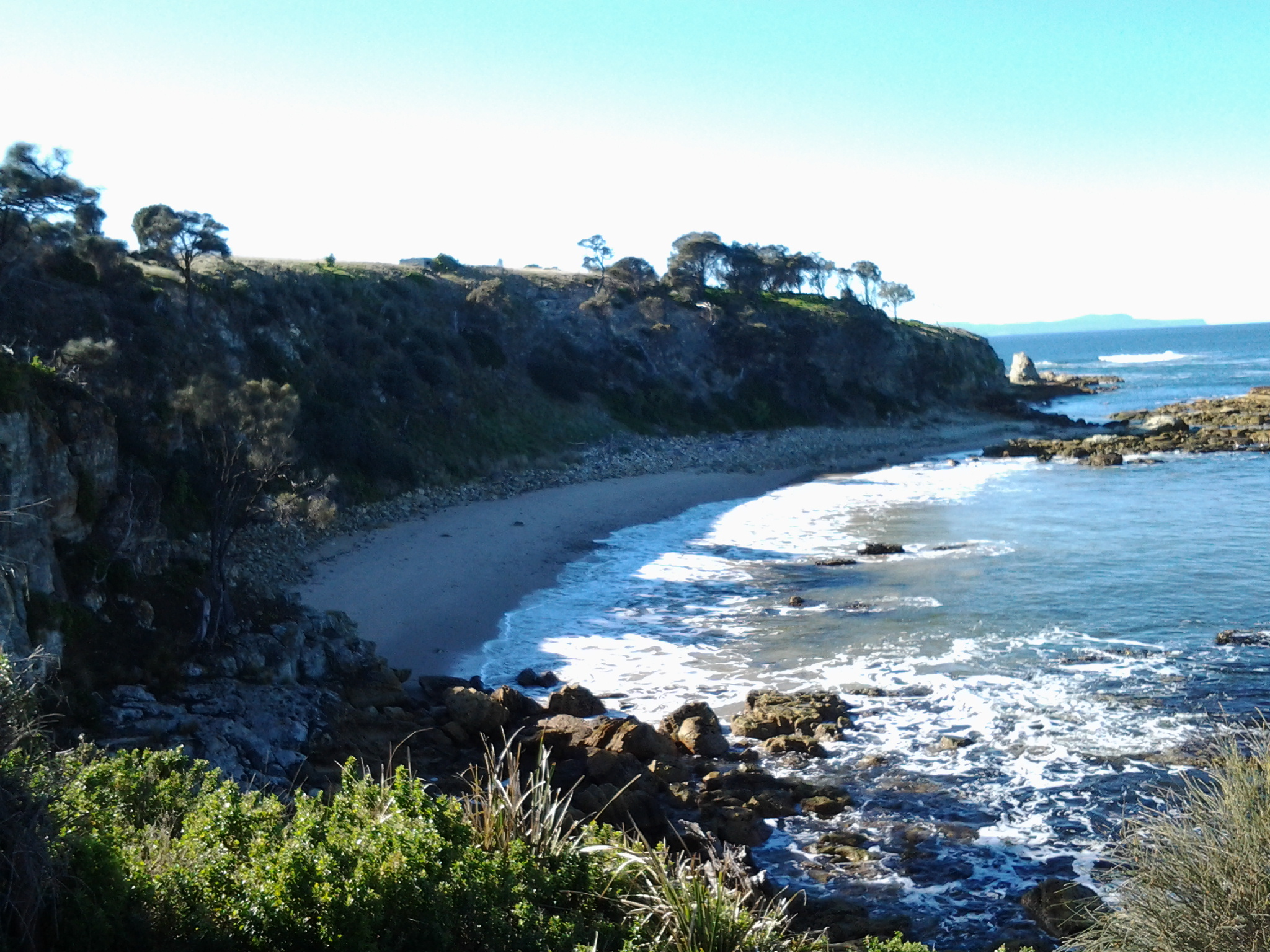
After a refreshed look at the Lone Pine Memorial, at 10.25 am (only 1 hour 20 mins since I had left the bus – yet, because I had seen and thought about so many things, the time felt much longer), I turned towards the point of Cape Deliverance. Before doing so, I clicked the photo below which scans Fort Beach towards Johns Point.

20140822_094334

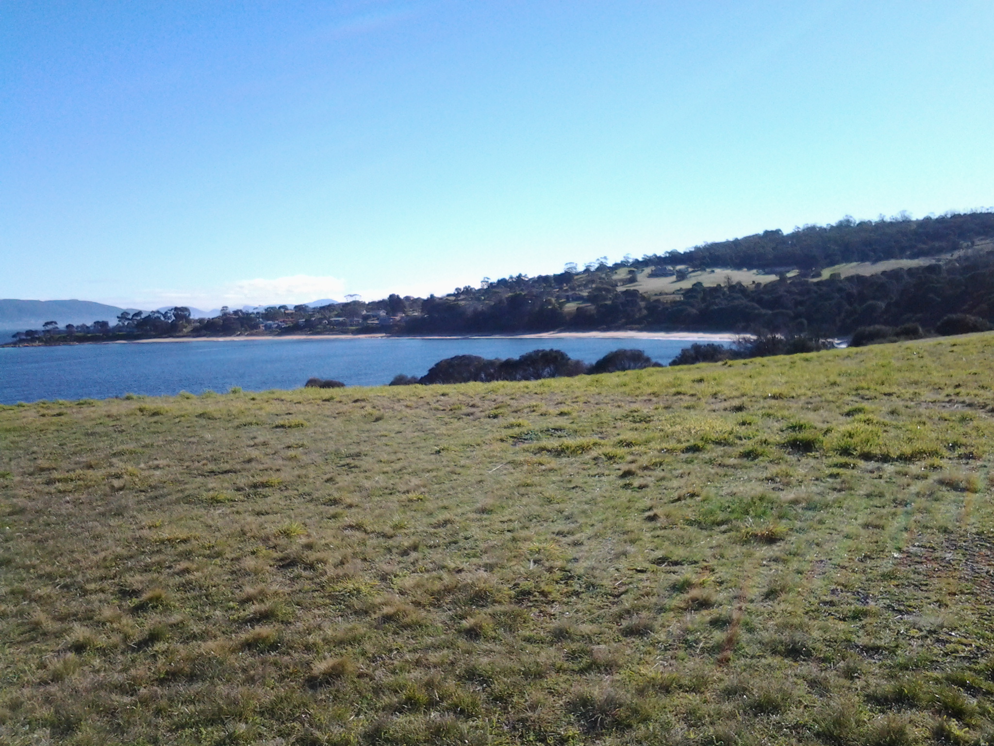
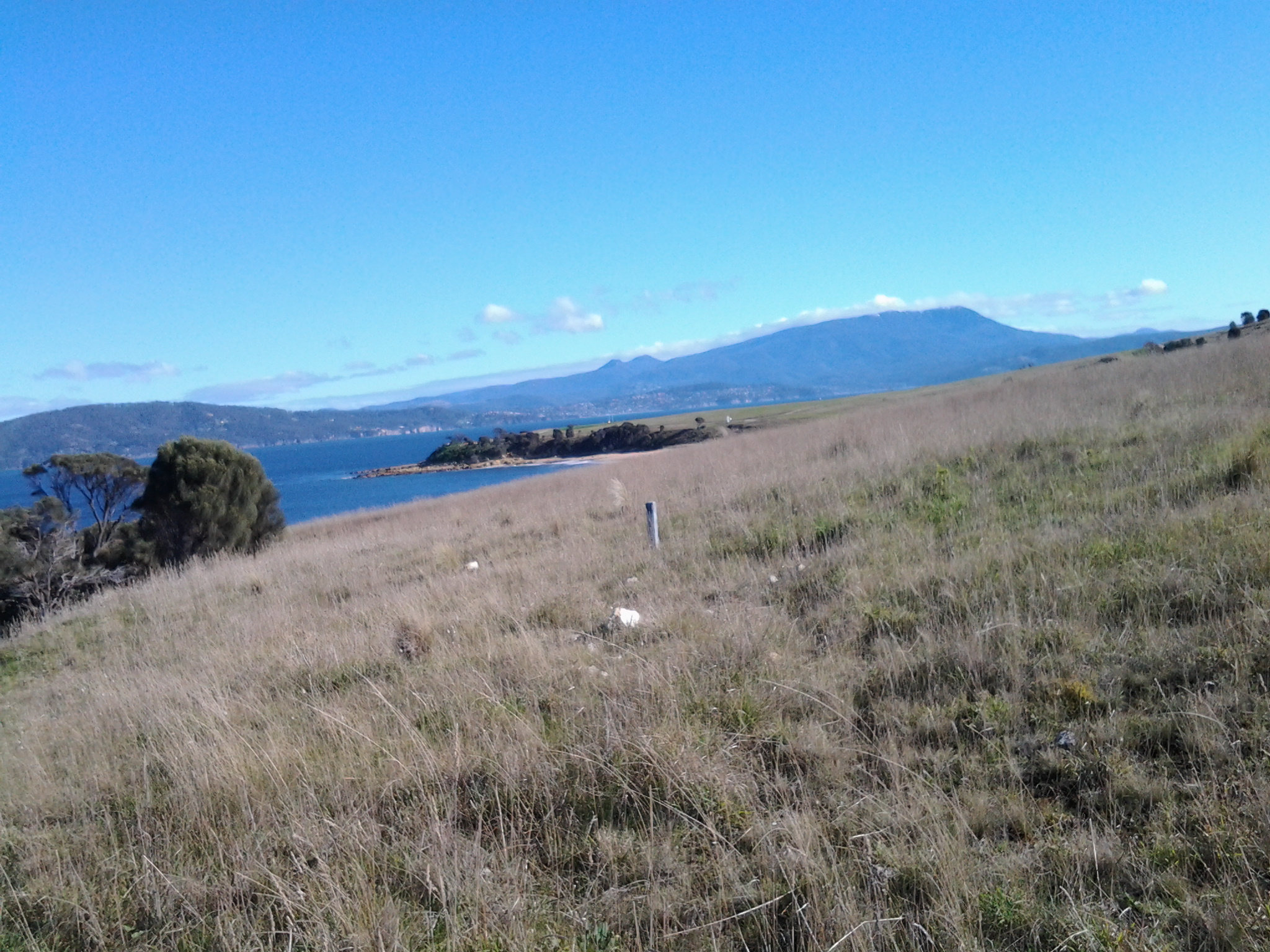
The vehicle track, which wound down the hill towards the Derwent then switched back in the direction of Fort Direction seemed the perfect way to get myself down onto the sandy Fort Beach. Twenty or so minutes later I reached the western end of the beach and easily walked up onto Blessington Road.   The alternative would have been to round John’s Point and continue along to South Arm almost entirely by clambering over a rocky shore.  Of course this was possible however, I reasoned that it would take a lot longer to reach my destination. While walking on the very long Blessington Road, I noticed a couple of public walkways down to the shore, so that if a walker started at the river level they could come up to the road at a later time. A couple of empty house blocks with a water frontage made me consider whether these might provide a way to move from the shore to the road – but they are privately owned so careful thought would be needed before deciding to walk across these.

Half an hour later I reached the cross street Rosemount Lane, a short street which took me down to the South Arm Road.  I continued west towards the South Arm beach, passing by the prominent Cenotaph that remembered many wars including the more recent Iraqi war.

20140822_112246

22 Aug 2014 Heading for the start of the first walk at Cape Direction – Posting 5 of 8

The photo below shows Cape Direction. To the left of the headland trees is a concrete bunker.

20140822_095939

Heading toward Cape Direction, I walked along a vehicular track eastwards and down onto the firm sand of the beach at Pot Bay.  Large Gulls either Pacific or Dominican patrolled the beach, letting a mix of Pied Oystercatcher and Sooty Oystercatcher birds have a run around.  The protruding flat sandstone rocks on the beach featured empty oyster shells.

 20140822_095103

20140822_095416

 At the end of the beach I clambered up the rocky earthy banks amidst a rich layer of fleshy vegetation that looked good enough to eat. I knew that the pigface plant with bright pink flowers open to the sun was edible, but what about the rest.

The photo below shows a swathe of blooming pig face on the Pot Bay side of Cape Direction.

20140822_095628 

What did the original aboriginal people eat? I would be very interested to learn whether some of the other plants could be used as food.

I had been warned that most of the old gun placements on Fort Hill were out of bounds, and again a high mesh perimeter fence made that clear.  But I was able to wander towards the one remaining structure outside this fence – one without tunnels. I waded on through high grass and onto another vehicle track that lead uphill to the remains of a massive concrete gun placement structure.

The photo below shows the concrete structure. The Iron Pot lighthouse can be seen in the distance.

20140822_100305

As I wandered inside the structure, it made no sense to me, and with no information to hand I was left puzzling as to why it was surrounded on all sides by rock and earth so the soldiers would not have been able to see an enemy coming towards the Derwent leave alone fire on such a ship.  Perhaps I am the first non-defence services visitor (can that really be true?) and everyone else who has visited perfectly understands how the building was used. 

From this structure it was a short distance east to open and exposed Cape Direction – the starting point for my walk along the Derwent.  Opposite, almost linked to the mainland at low tide by a series of rocky reefs, was the Iron Pot in all its glory.

The photo below shows Mount Wellington above Hobart, past Cape Deliverance and taken from Cape Direction.

 Towards Cape Deliverance and Mt Wellington