Author Archives: Tasmanian traveller

Unknown's avatar

About Tasmanian traveller

Through travel, I have experienced the eccentricities of people and their environments around the world. At the same time, I love where I live. So, for people who cannot travel to discover the wonders of my home town, this blog is an attempt to introduce its exoticness. My goal was to walk along both sides of Hobart's Derwent River from the mouth to New Norfolk, and to walk on one or alternating sides of the River between New Norfolk and the source of the River at the southern end of Lake St Clair. The walk was undertaken in stages around my other commitments of my life. Almost all stages of the walk connected with Tasmanian public transport - my intentions was to inspire people, who do not have access to a vehicle, to feel they can replicate the walks. This blog reports on each stage in the hope it will encourage people to either follow in my steps or to create their own walking project where-ever they live. Please note: The blog background and headliner image of 'Hobart from Mt Wellington' is the work of Tourism Tasmania and Garry Moore. It is a free image with unrestricted copyright and available from http://www.tassietrade.com.au/visual_library

Lake Repulse Dam to Catagunya Dam – posting 7 of 13

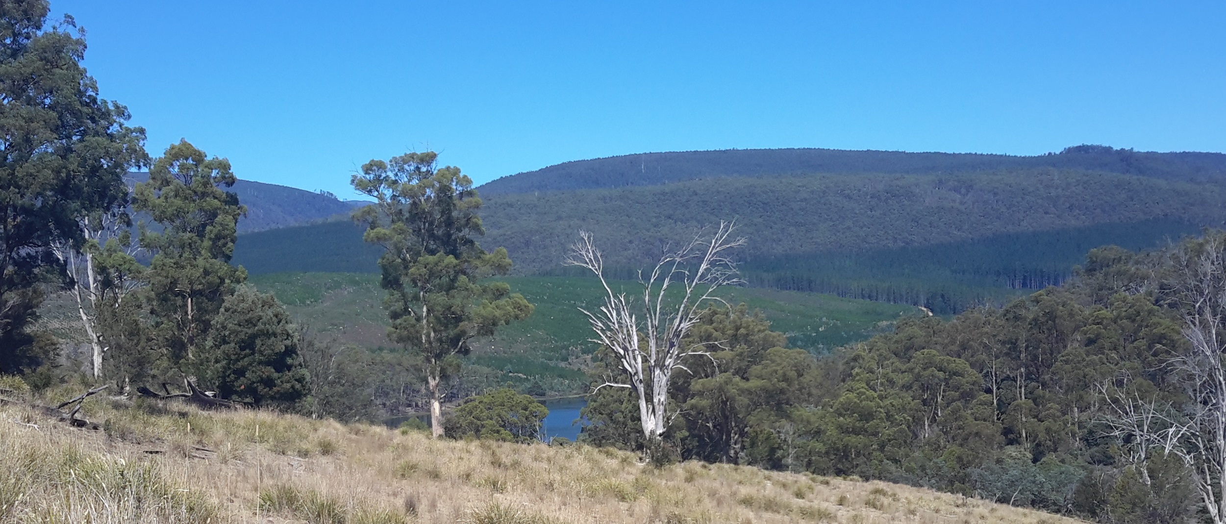
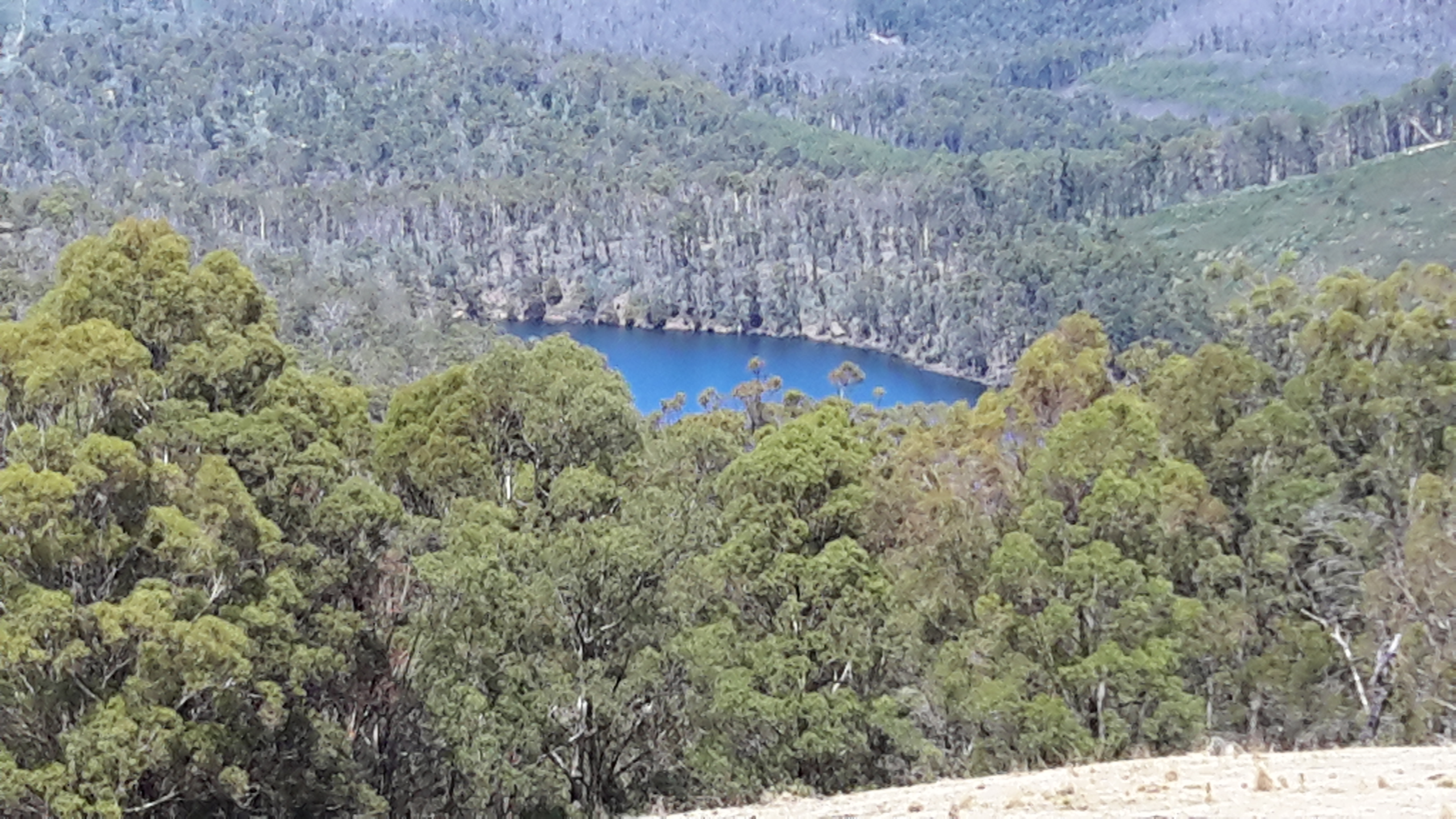
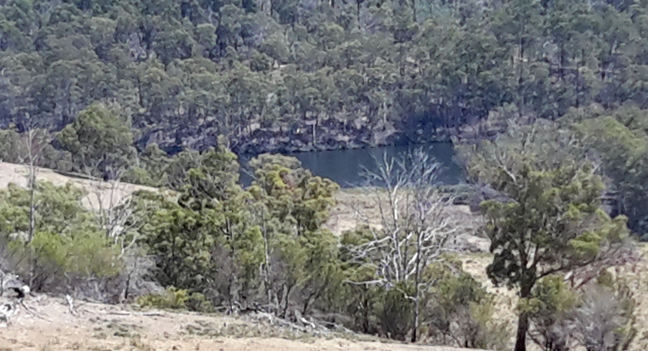
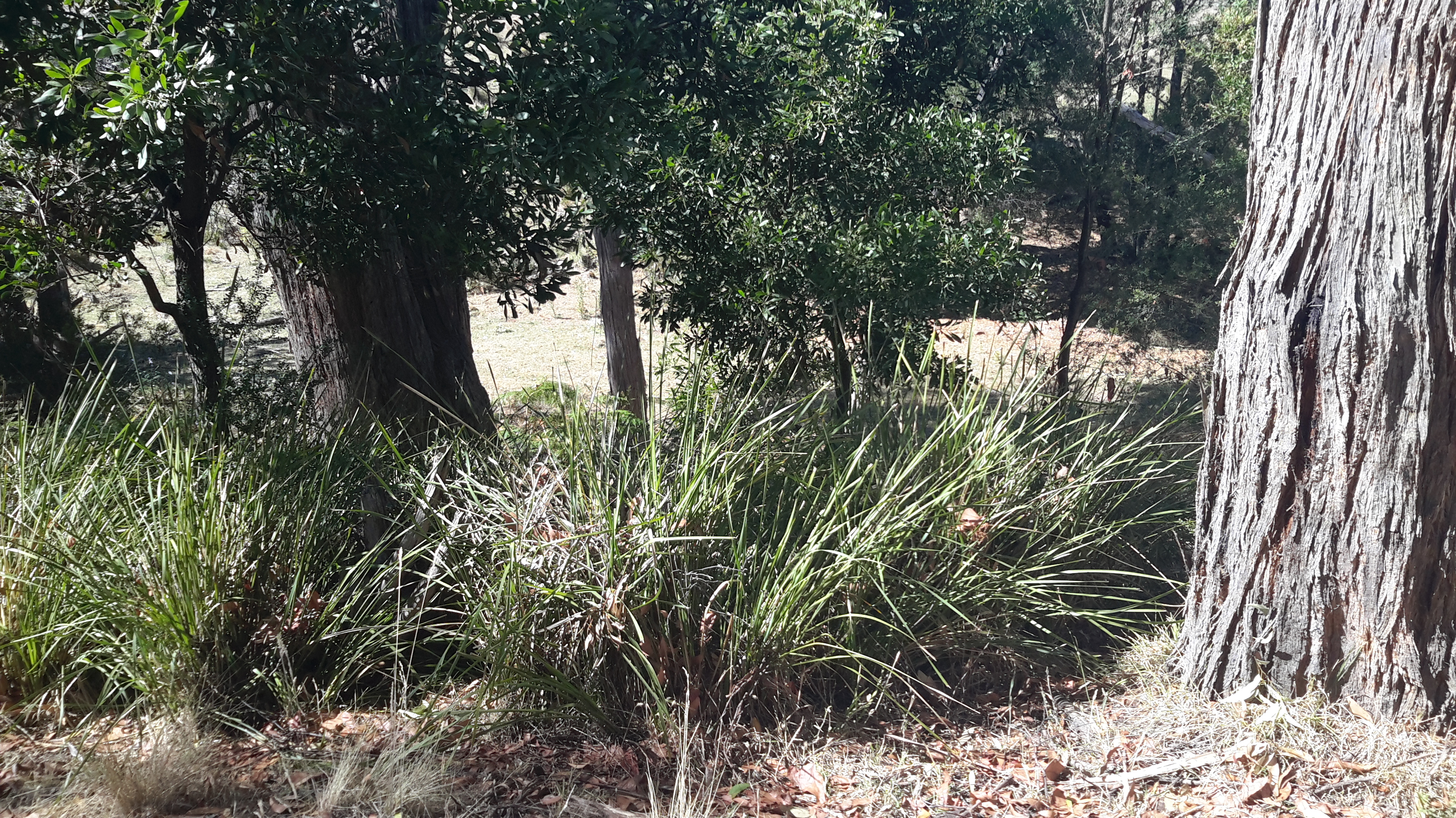
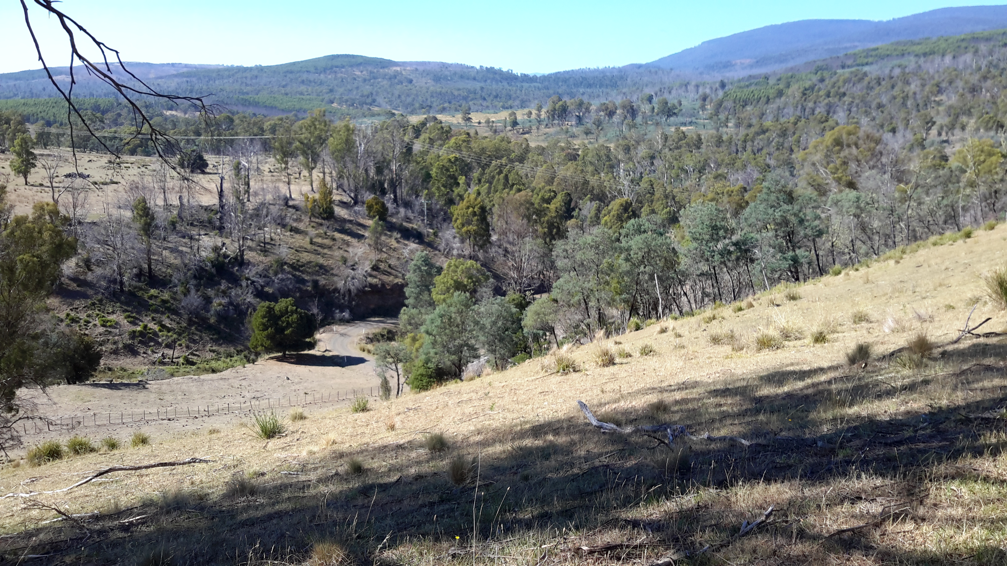
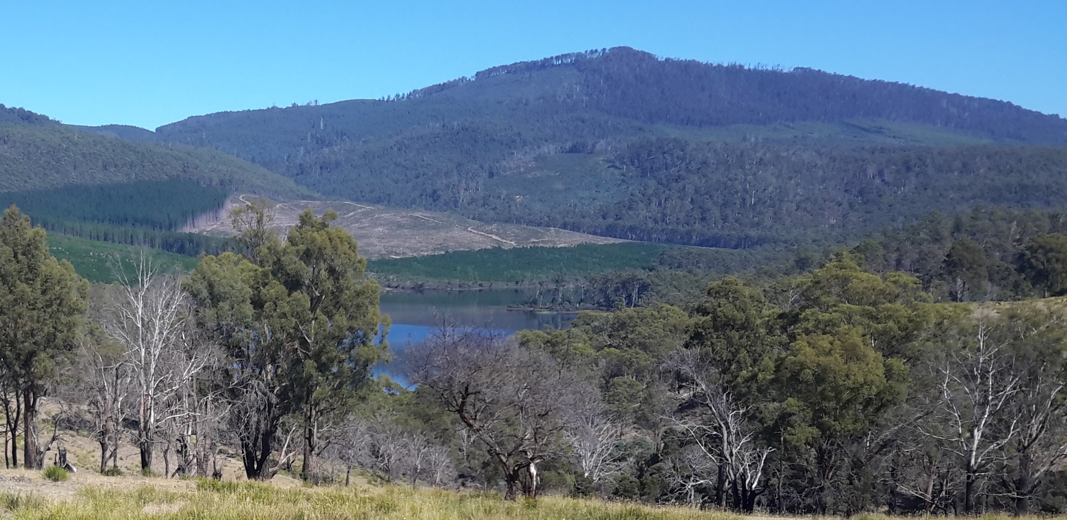
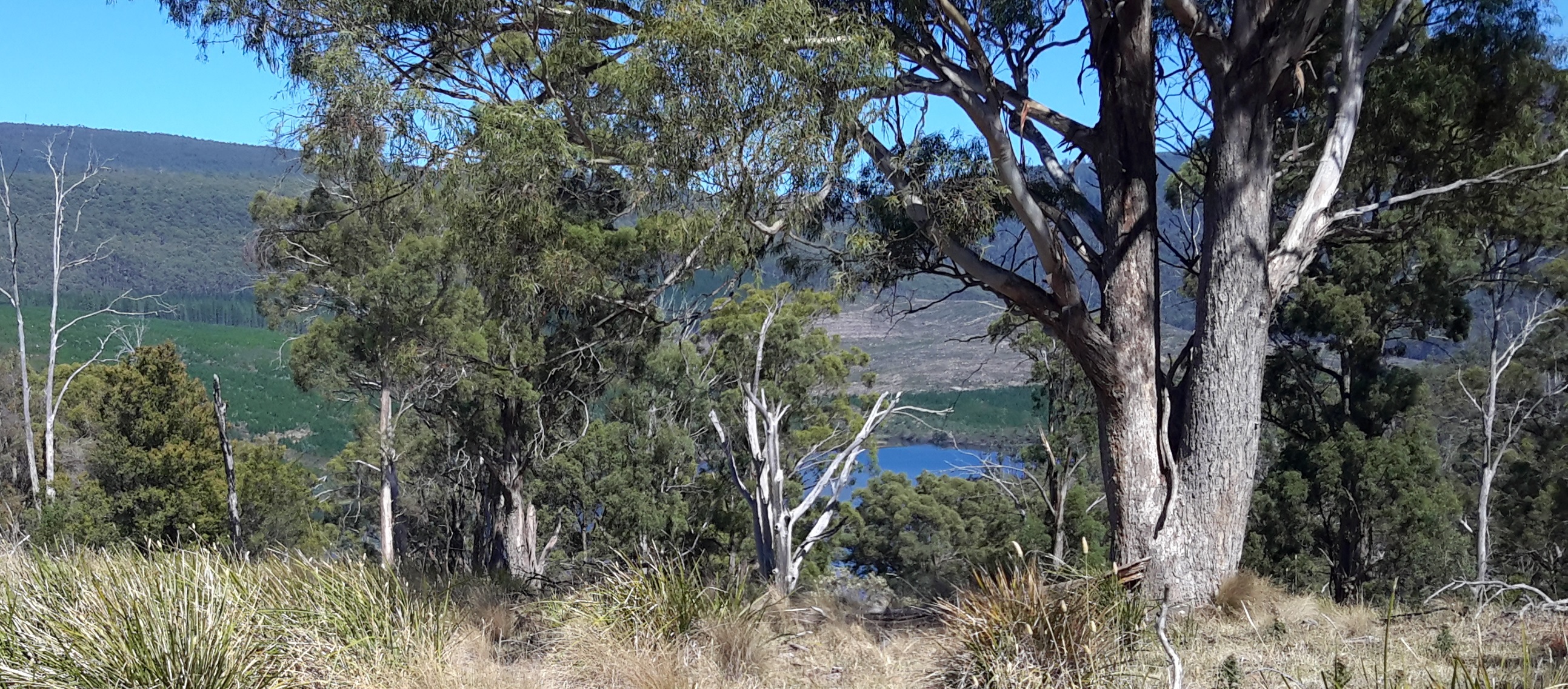
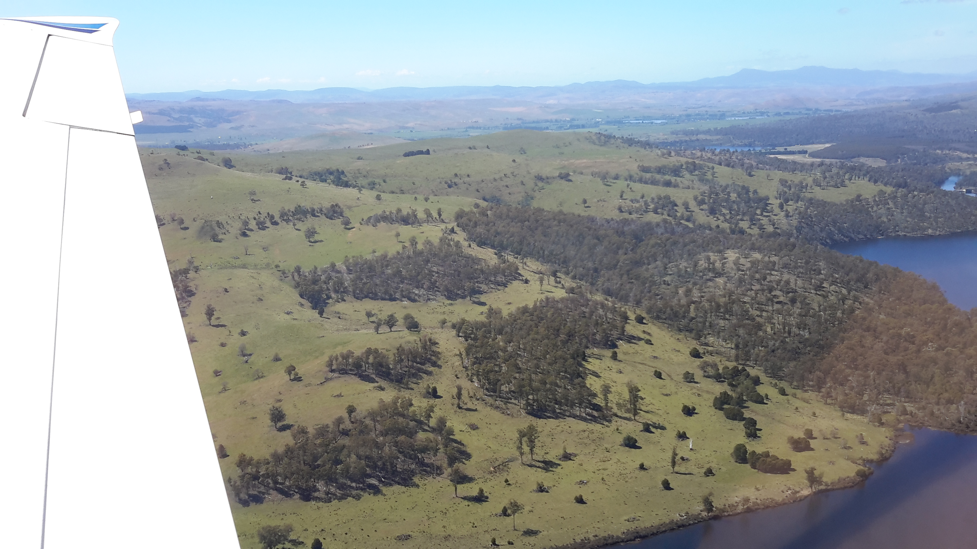
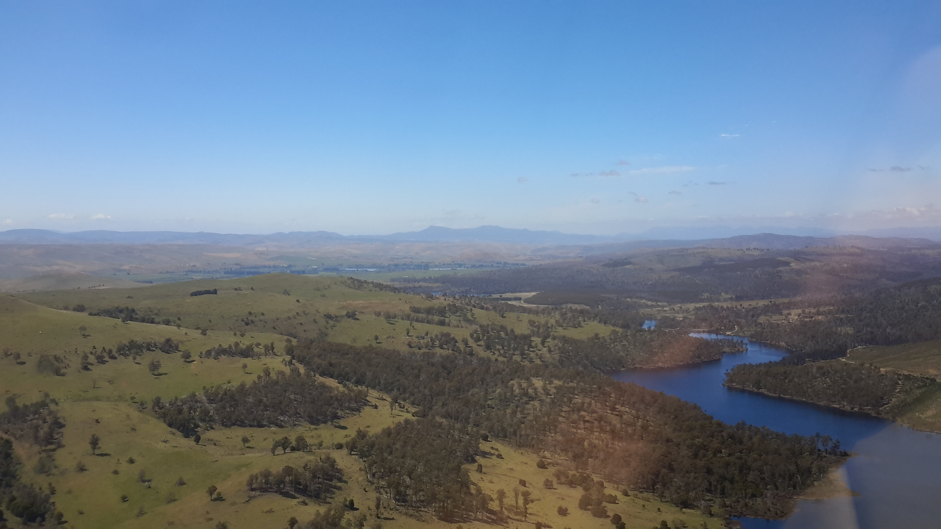
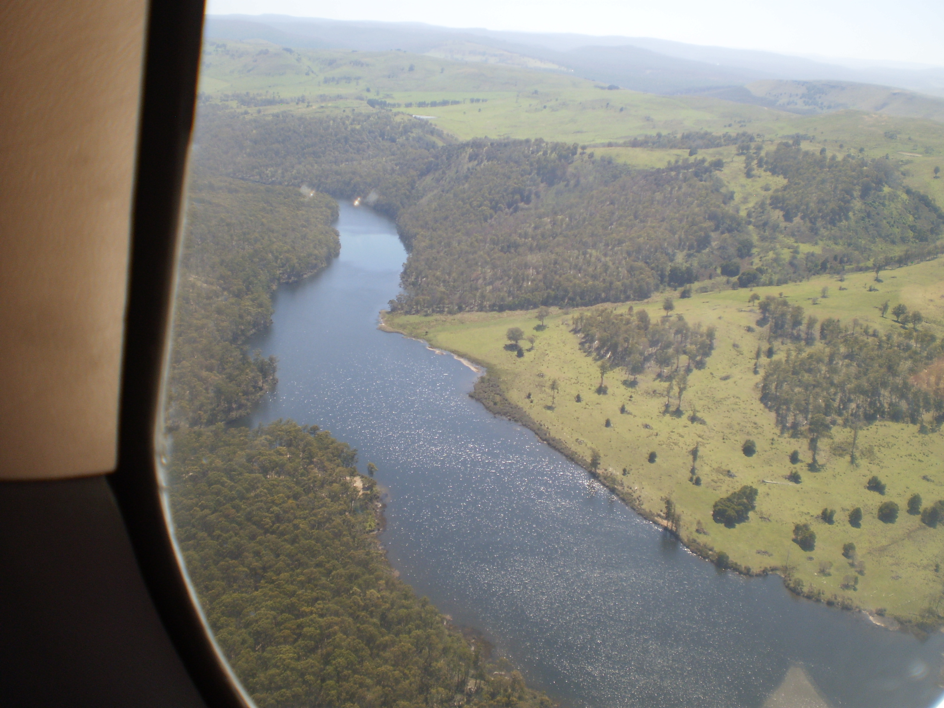
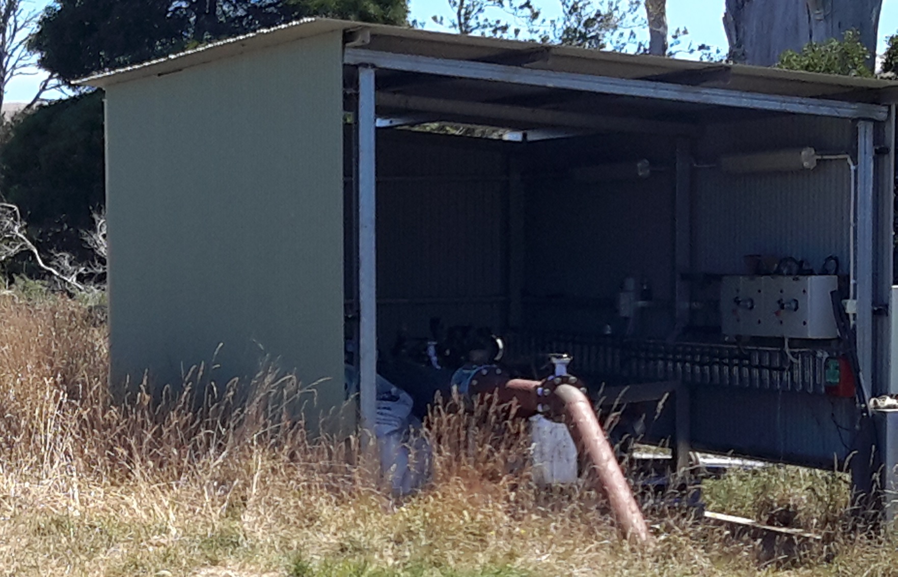
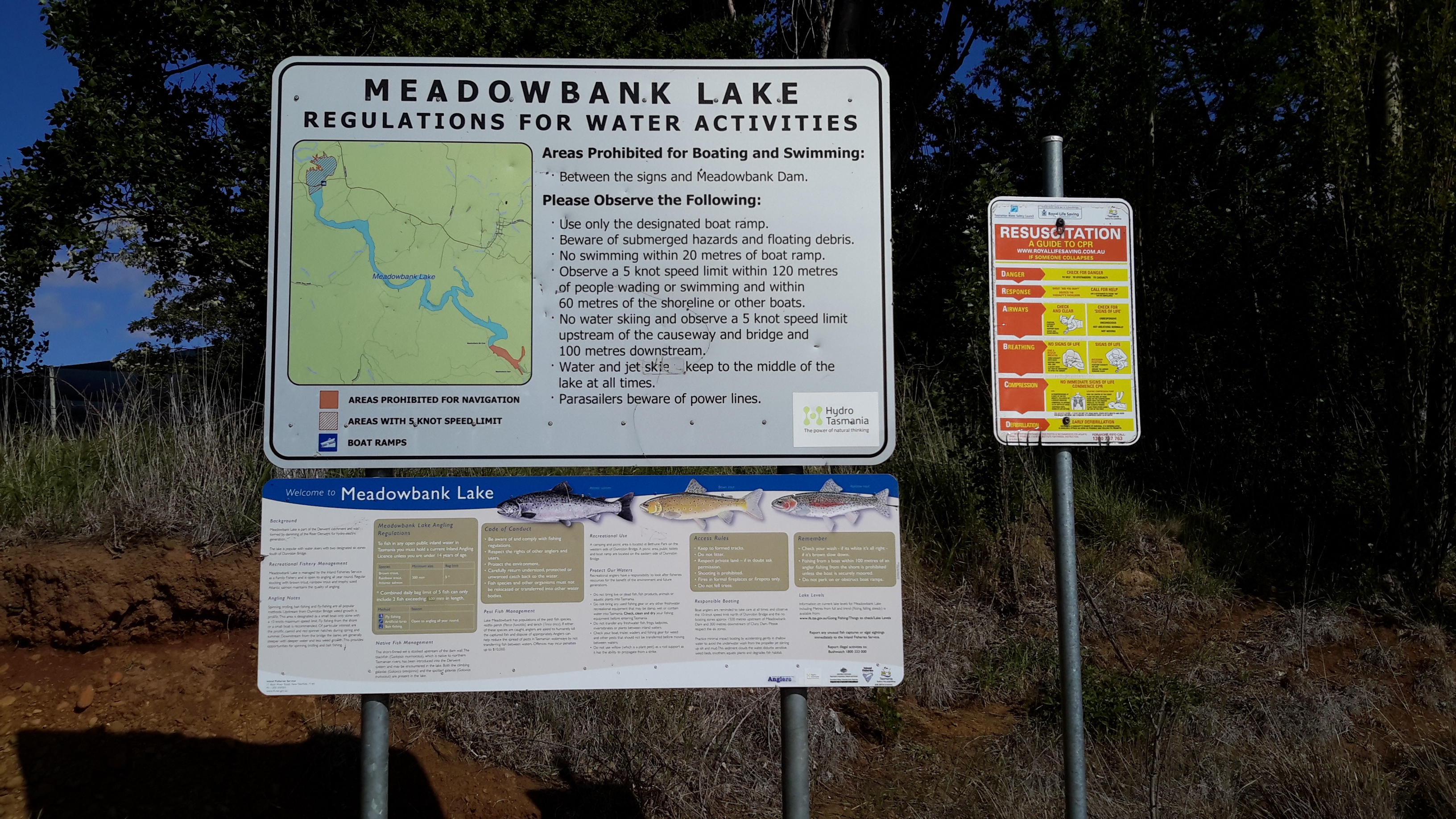
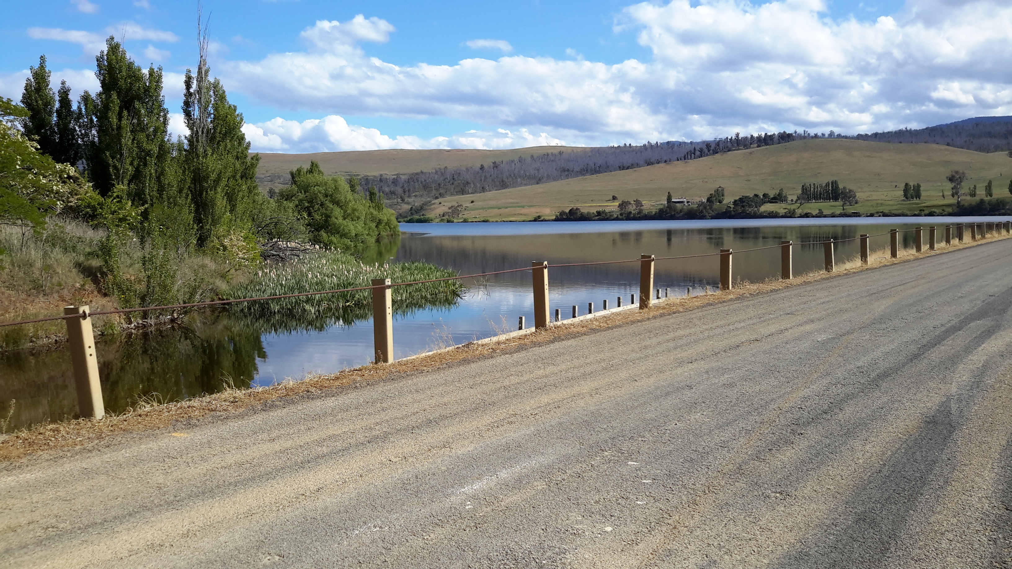
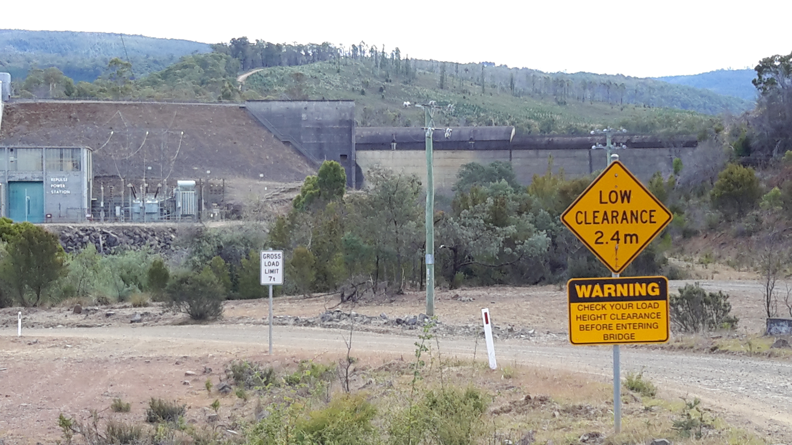
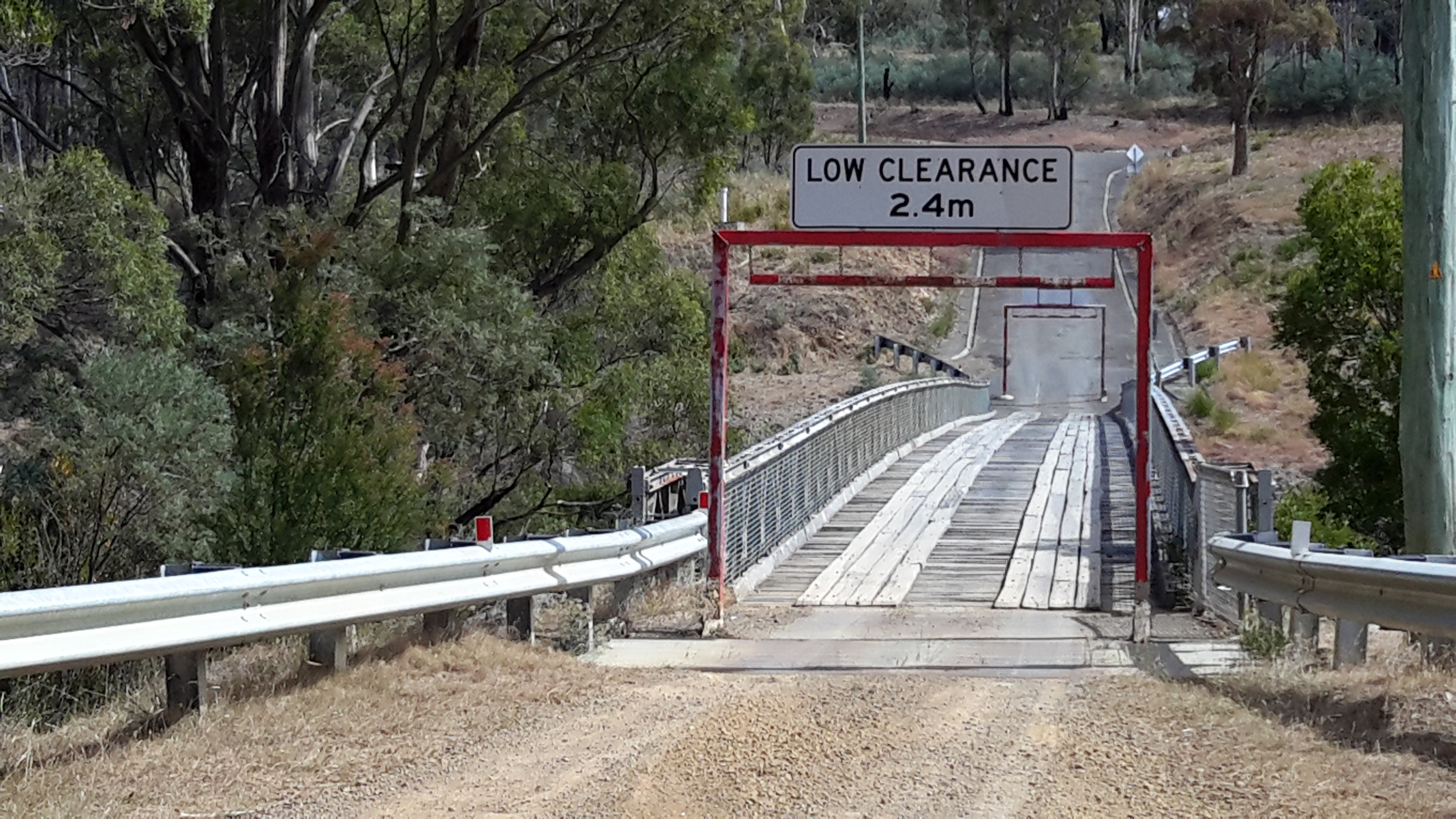
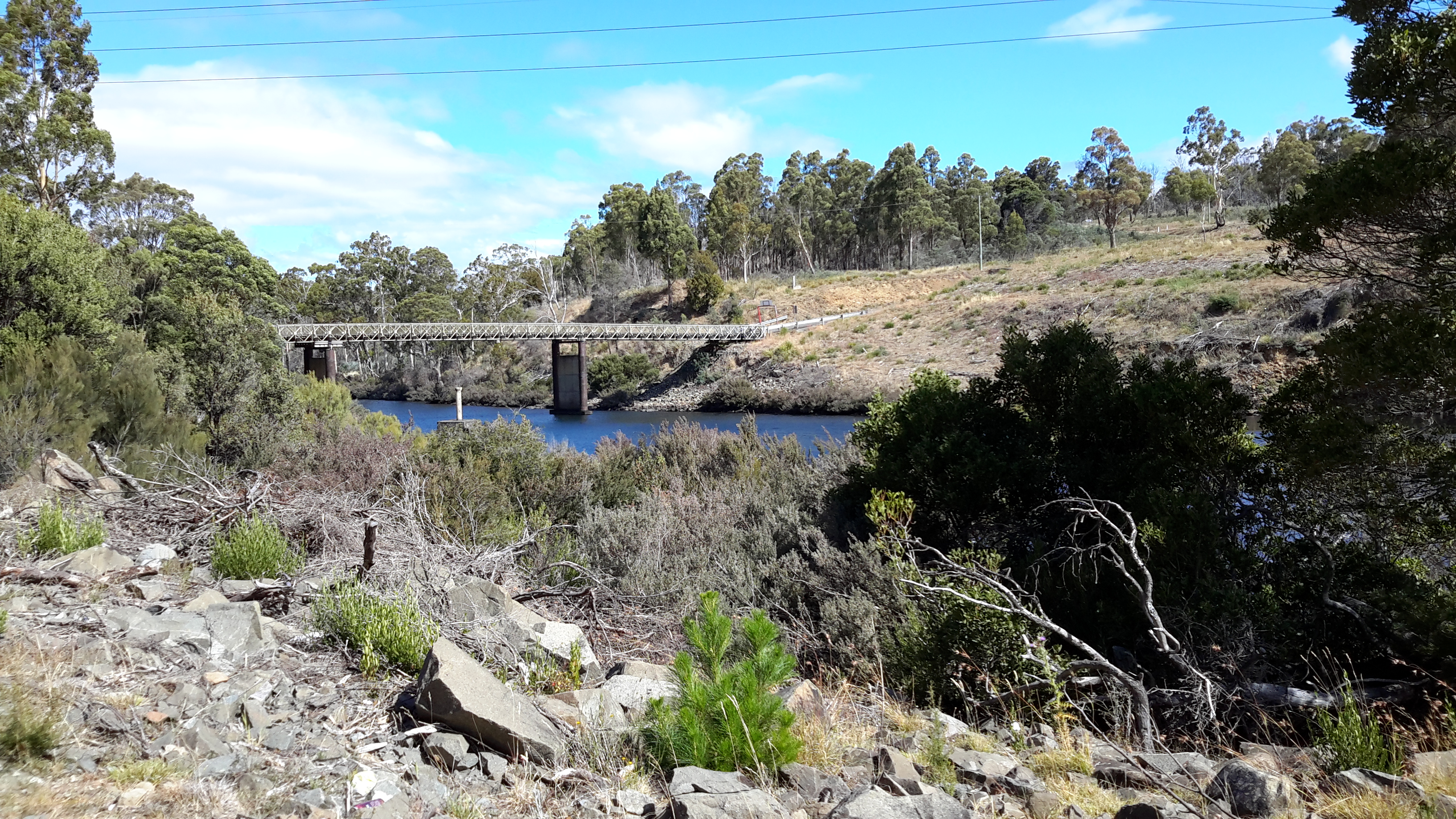
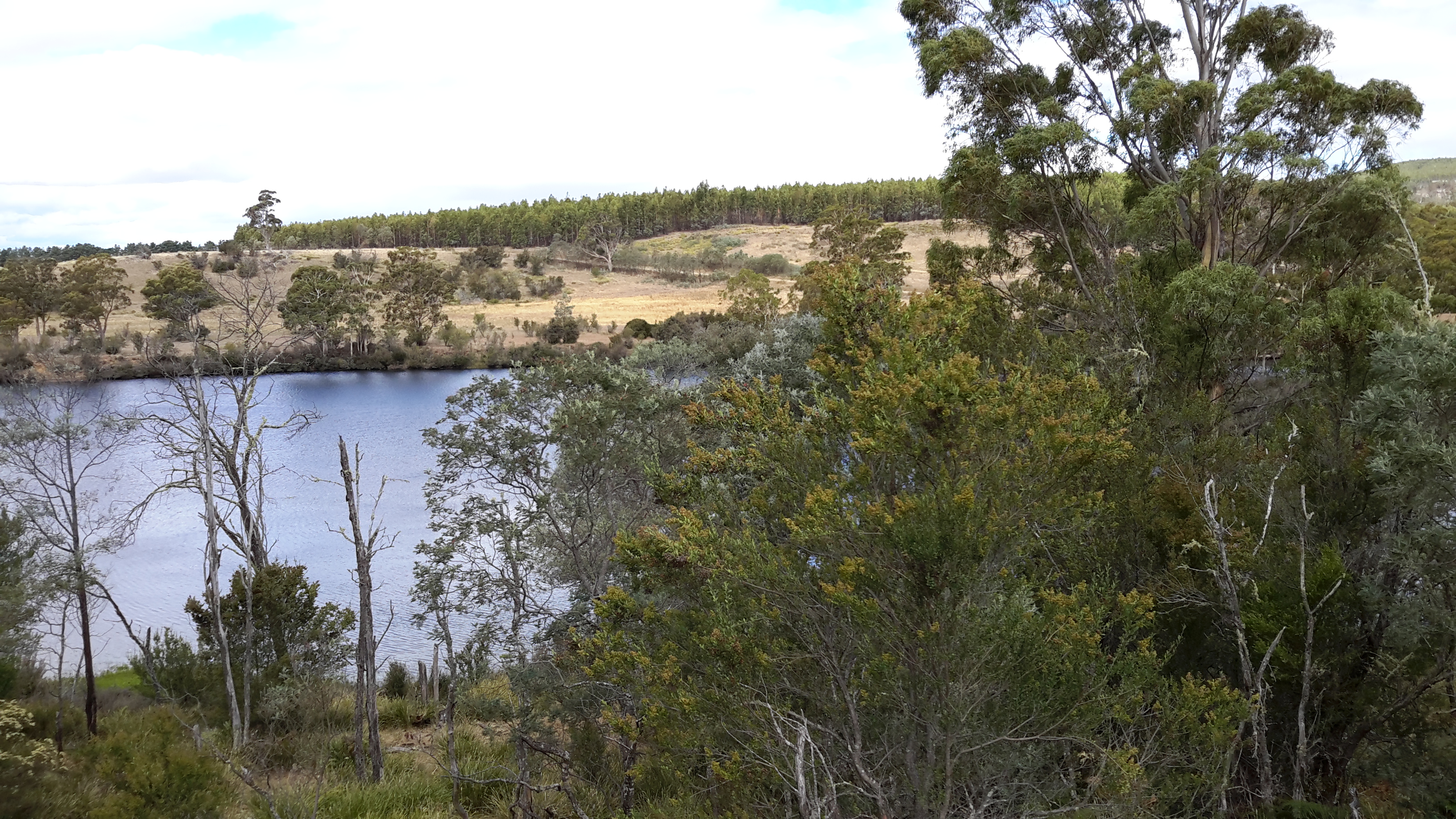
Even in a section that appeared to be cleared to the River, the edges were not negotiable, effectively preventing my access to the water of Lake Repulse.

20160209_131534.jpg

20160209_132711.jpg

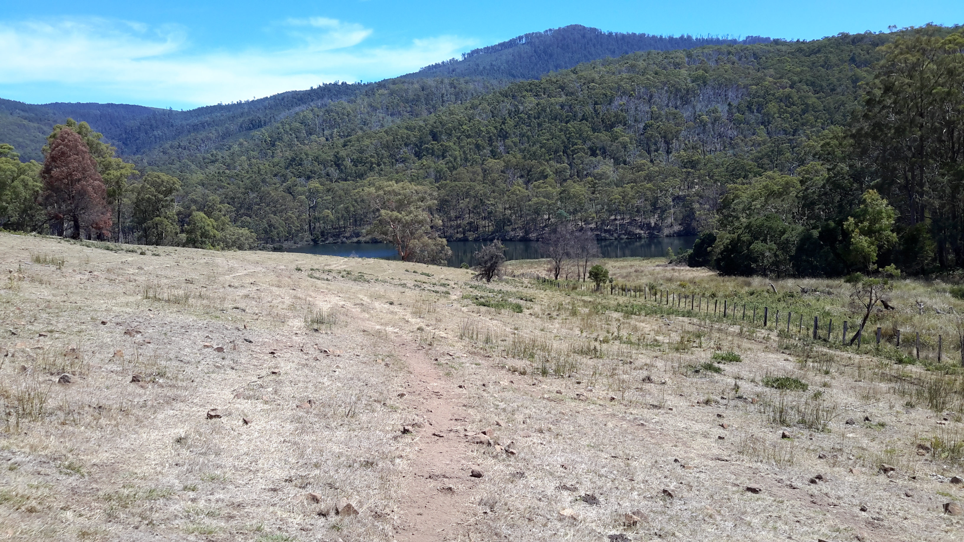
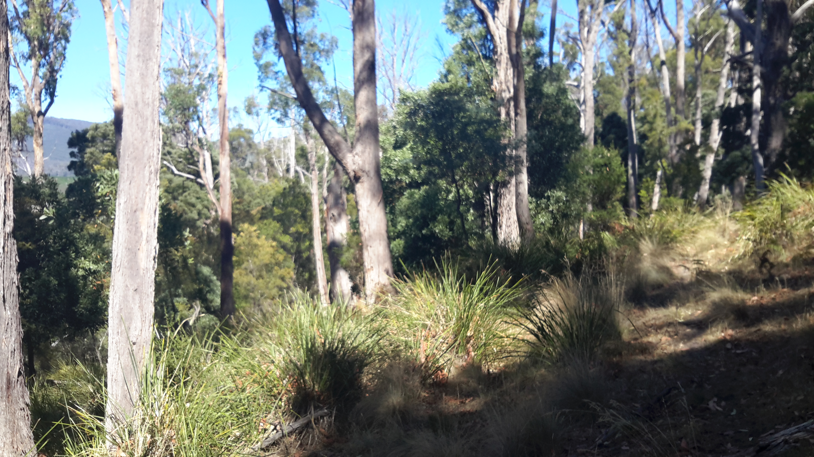
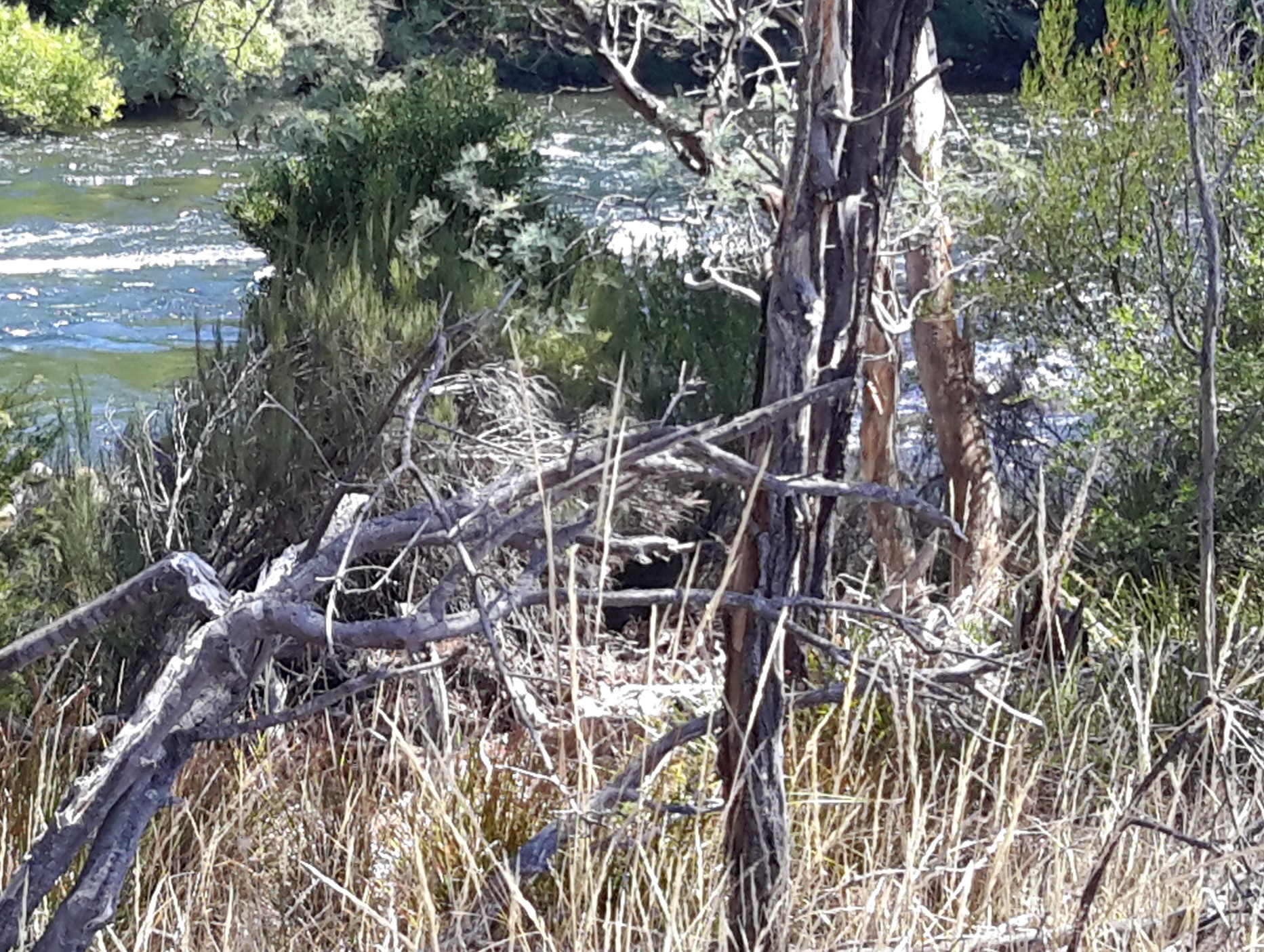
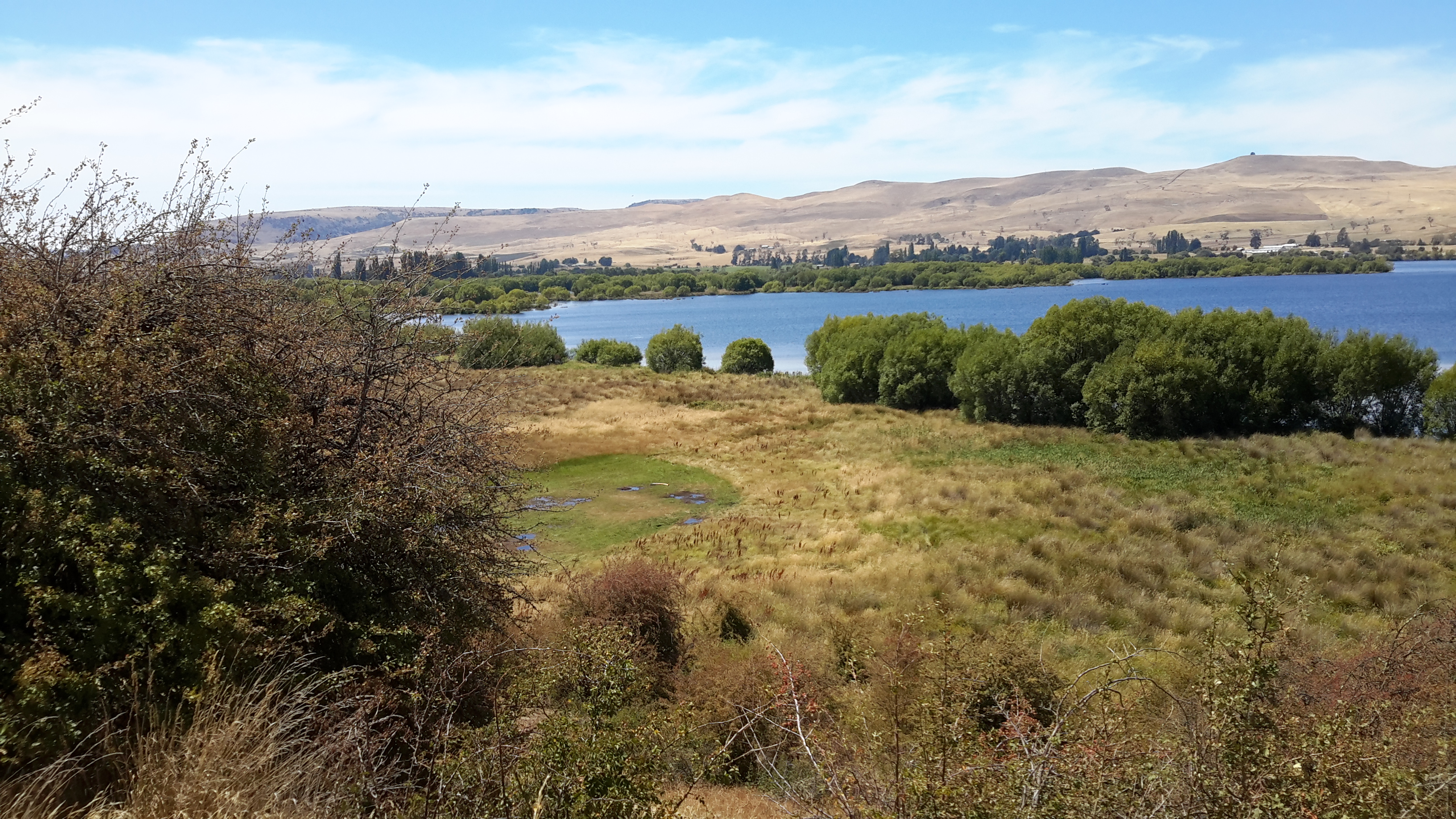
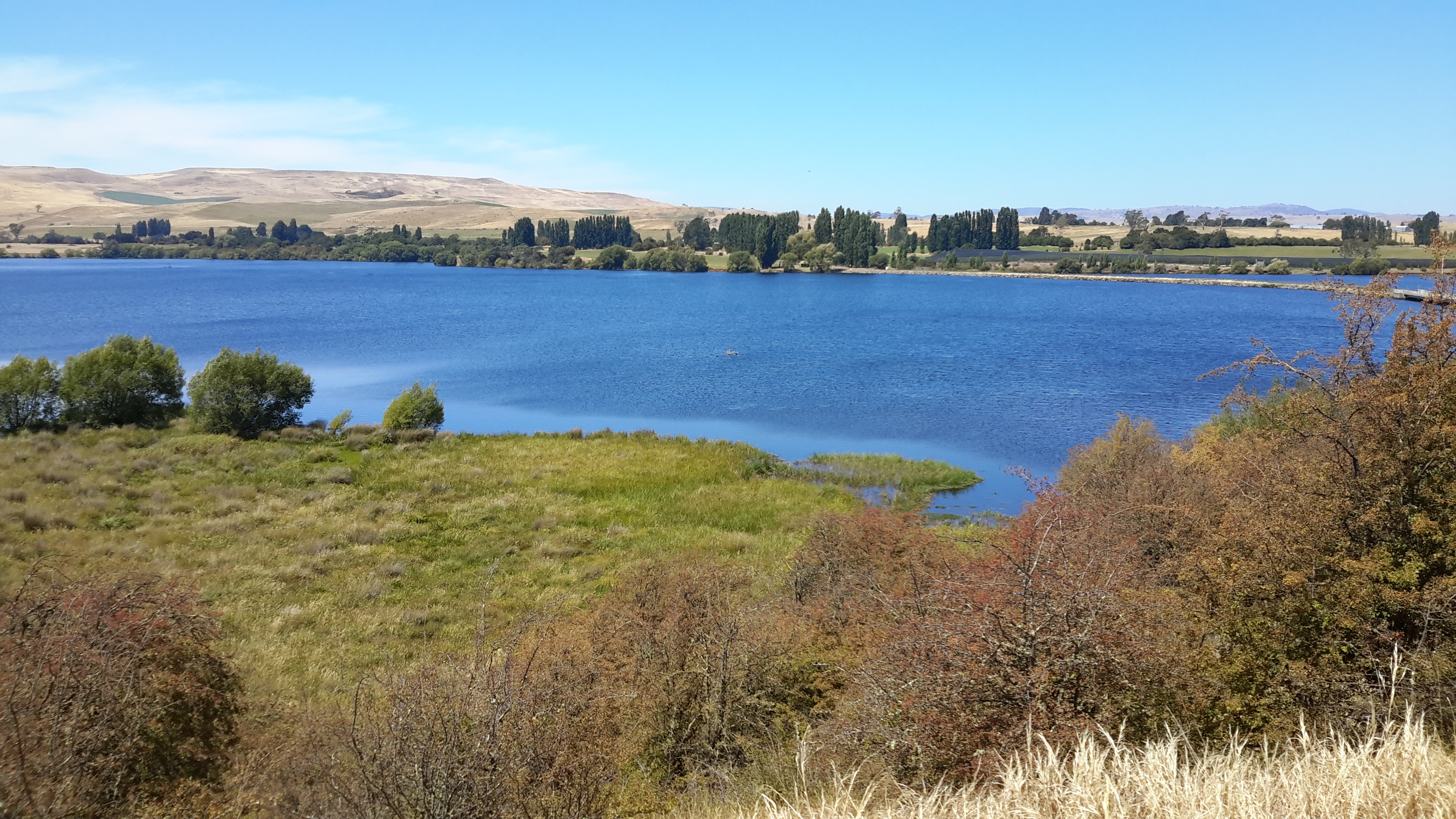
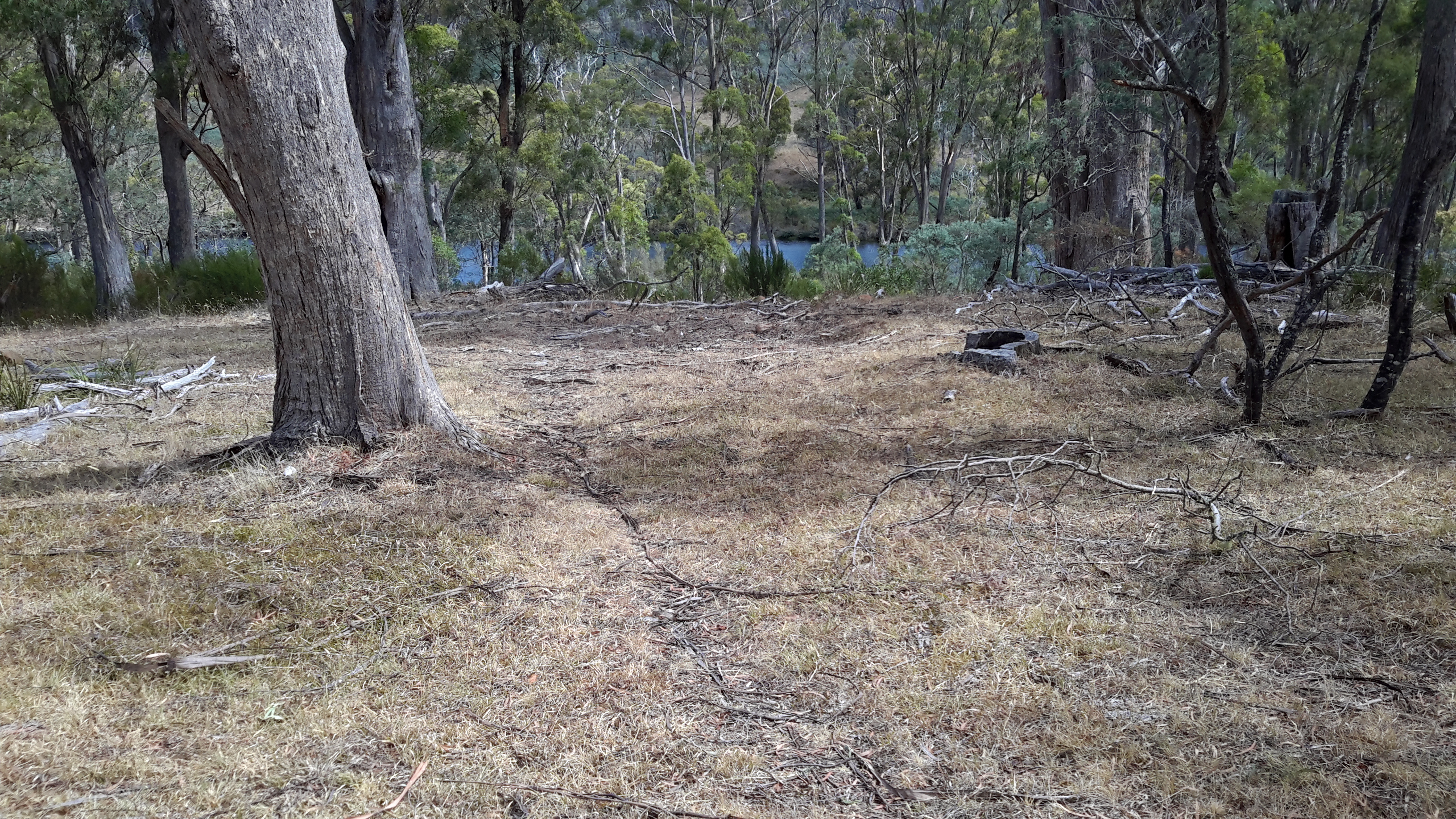
In the location photographed above where the Lake is at the foot of the cleared land, after walking downhill eventually I had to give up my attempts at water access, and start a new uphill trek. I crossed a running creek, collected some brownish water in case my water supplies ran out, then continued the climb up another hill.

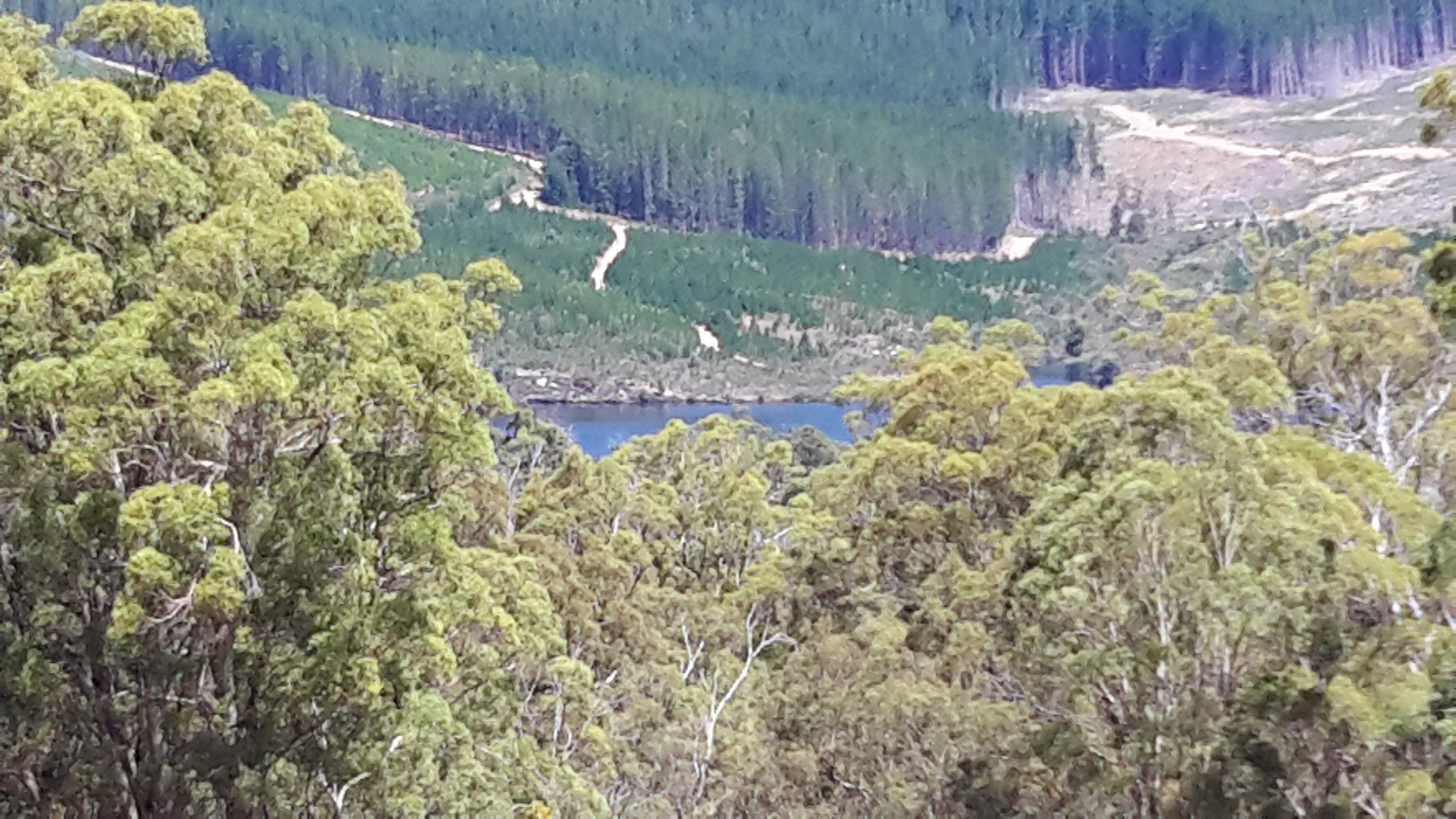
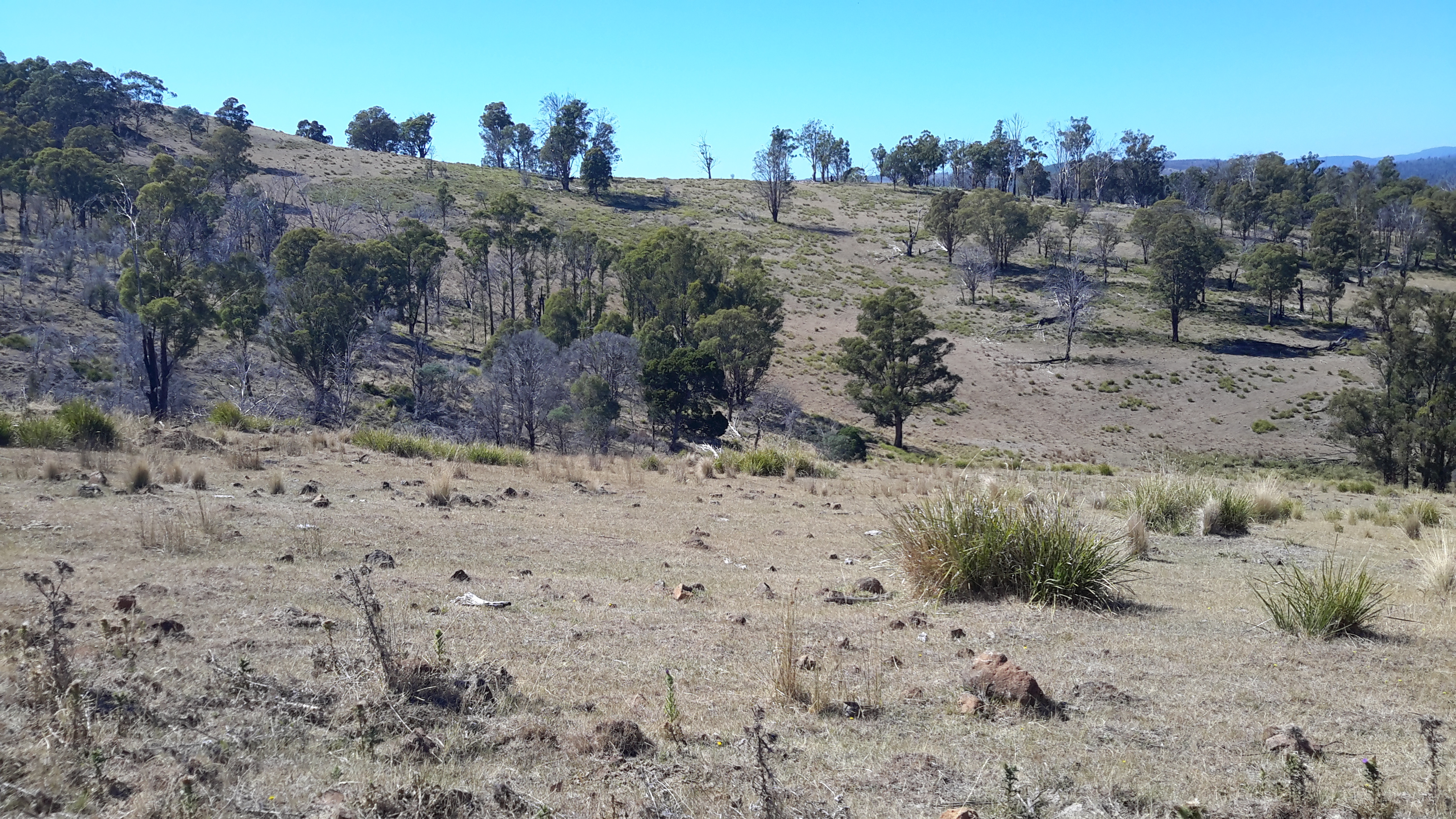
My activity sent a Rufus Kangaroo bouncing up and away. Obviously I had disturbed her midday sleep.

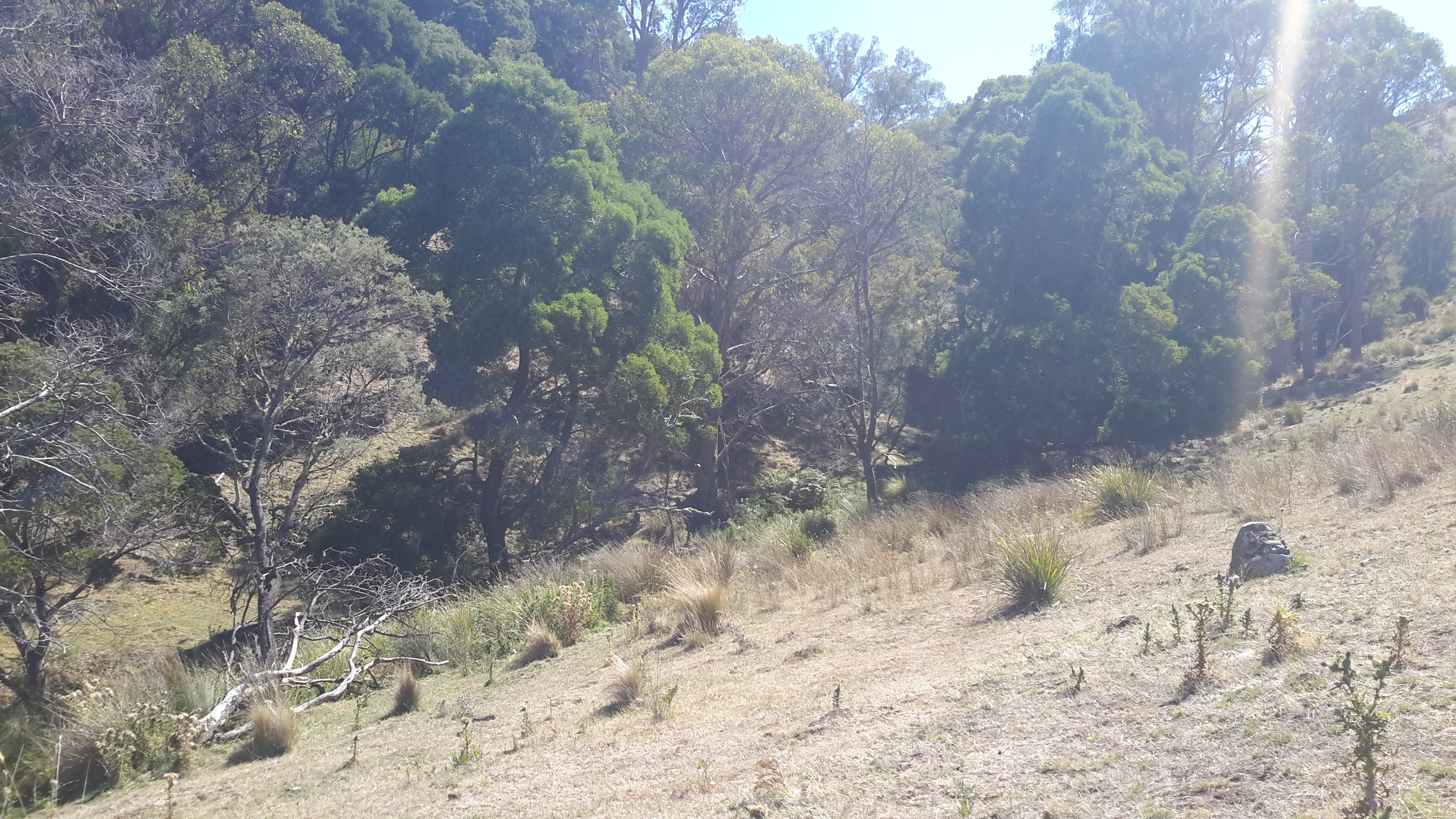
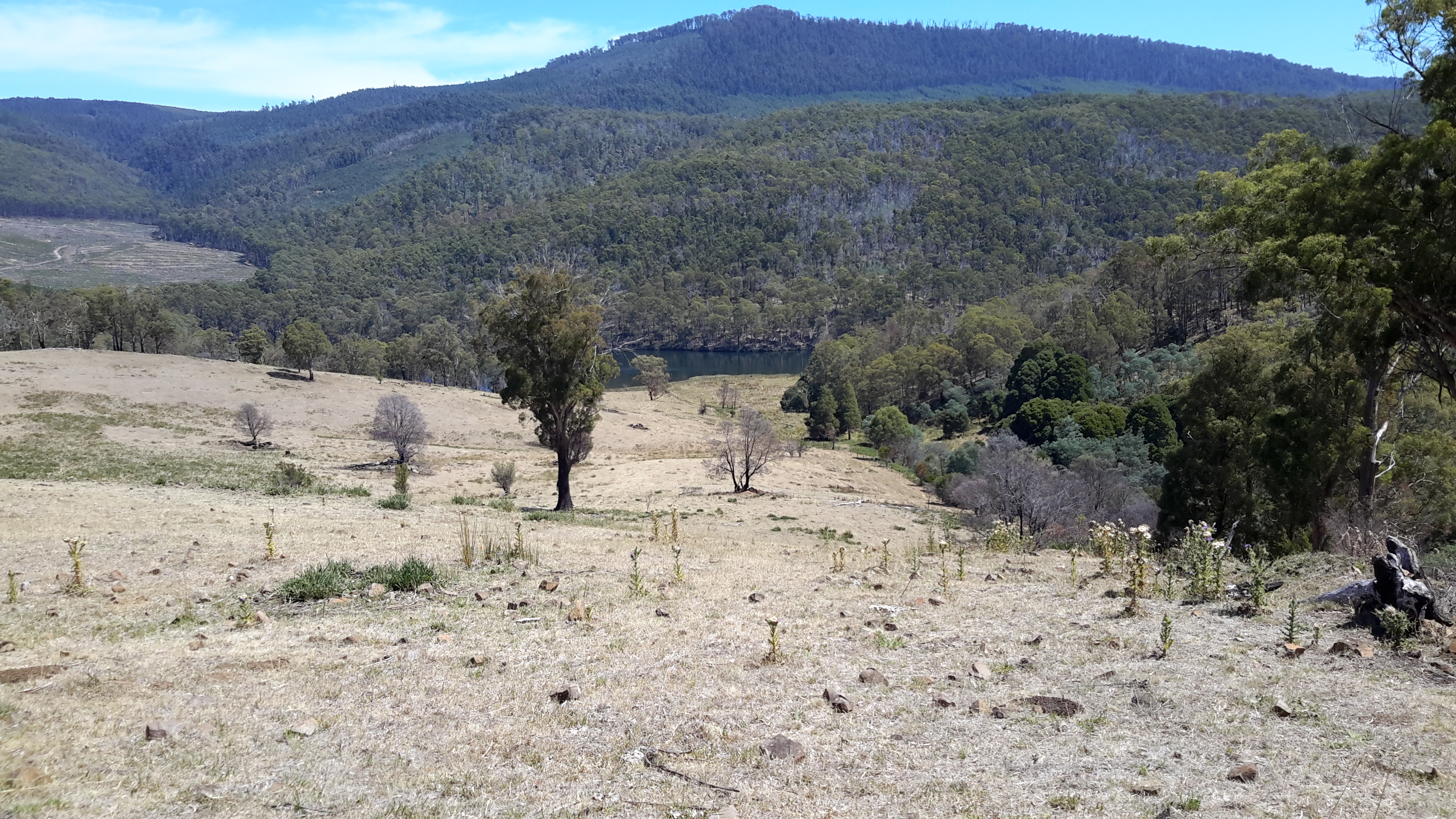
Some way up the hill I stopped to rest and sat looking down. A movement caught my eye.  A huge Rufus Kangaroo came into sight crossing the area where I had walked. I suspect he slept through my intrusion and was now looking for his mate.

Watch my video (takes over a minute) and look for the point where you first spot the kangaroo. When immobile he wasn’t always easy to see.  From time to time he is partly shielded by vegetation but you will see him bouncing first to the left, resting on a log with his ears twitching, then bouncing back to the right. When stationary, the bright light on his back helped blend him with the environment. Only his twitching ears gave him away when he rested his front legs/arms on the log.  Majestic. Comfortably natural in his environment.

I hope you enjoyed the sounds of the bush while you watched.

Lake Repulse Dam to Catagunya Dam – posting 6 of 13

I have been asked why I chose to walk on the eastern/northern side of the River.  Quite simply, that side looked easier.  Once on the walk I had grand views to the other side, and felt vindicated in my decision.  On the western/southern side dense virgin bush with no tracks or plantation forests covered the steep hills.

Looking to the other side1

Looking to the other side2.jpg

Looking to the other side3.jpg

20160209_115757.jpg

20160209_125404.jpg

20160209_125534.jpg

Even when the forests opened out, the terrain was rocky and treacherous on the other side of the water.

Looking to the other side4

Nevertheless the landscape was richly beautiful even when tampered with by mankind.  All the photos above remind me of the steepness of the terrain on ‘my’ side of the river, and the impossibility of accessing the waters of Lake Repulse.

Lake Repulse Dam to Catagunya Dam – posting 5 of 13


The forested areas gave me the greatest amount of work.

Treed section coming up

More treed forest.jpg20160209_111227.jpg

20160209_111237.jpg

Clambering up or down through the forests with a backpack changing my centre of gravity and catching on vegetation, swinging a stick in front all the while to relocate spiders, imagining tracks through the undergrowth and finding the cattle had created hundreds of intermeshed occasional pathways to and from nowhere useful for me, and the day’s temperature rising and passing 30 degrees all contributed to produce a constant world of challenge. Where I chose to walk, I struggled and strained yet I can see that my photos make the ground look smooth and trouble free.

20160209_114024.jpg

20160209_112856.jpg

My photographs show me how beautiful the forests were. Usually I focused on a small shrub, the trunk of a tree or a clump of grass as I walked but now that I am looking at my photos I can see the way the object of my attention fitted into a larger environment. In addition, I love seeing the way the light splits through the bush.

Lake Repulse Dam to Catagunya Dam – posting 4 of 13

One of the spiders and the predominant butterflies both attracted my attention because of their prominent orange colourings.  The landscape they lived in was dry and remote and I wondered if the spider’s colouring was a way of distracting or attracting the butterflies onto their web (can butterflies see in colour?).

The spiders caused me considerable work with my trusty walking stick, a stout branch I picked up early in my walk. I was forever circulating the stick in front of me to relocate the spiders and their webs to the side and let me pass. The spiders spread long thick stranded web lines between bushes and tall grasses and tree branches, and then spread their long legs in the centre of a normal circular web at around my chest level.  I guess the whole spider would be around the size of a 50 cent piece. Beautifully camouflaged against a vegetation backdrop coloured in browns, beiges and greys, the odd orange marking was the only way in which the spiders became visible.  You cannot see any of them in the photos below, but they were there.  Hundreds of them. Everywhere.

20160209_105953.jpg

20160209_112847.jpg

I checked the database of all Tasmanian Spiders and did not find a photo corresponding with my memory of the spider on the hills with the orange markings.  I was stunned by the high number of spiders endemic and imported into Tasmania, as listed on this comprehensive website.  I am not so much frightened of spiders rather I never enjoy eight legs running fast and uncontrolled over my body without permission.

An overview of Tasmania’s butterflies indicates 39 varieties are endemic.  After perusing Insects of Tasmania,  I believe the orange marked butterfly flying about the hills between Lake Repulse Dam and Catagunya Dam may be from the Genus Danaus and be commonly referred to as the Wanderer Monarch from the family known as the Browns  (Nymphalidae). But this is only a guess and the butterfly may have been one of the other ‘browns’ shown on this page of the website.

Perhaps a blog follower, as a specialist who knows Tasmania’s spiders and butterflies, can provide more information about the possibilities.

Surprise surprise … as  I type this post I ‘feel (imagine)’ things running all over me and I shudder at the horrible thought.

Lake Repulse Dam to Catagunya Dam – posting 3 of 13

The major landmark nearest to Lake Repulse Dam is Bilton Hill with its local telecommunications tower.  That didn’t help me much. I had no mobile phone or internet reception for the entire walk.  The area between Lake Repulse Dam and Catagunya Dam is an isolated remote part of Tasmania.

20160209_105315.jpg

I walked on, forever looking down unable not to watch the thousands of cricket insects jumping across the ground and around my legs.  Movements everywhere. Movements may signal a snake so I needed perpetual vigilance.  It was exhausting being alerted by the motions of the constant cricket hops and imagining a dangerous slitherer was the cause of the movement. Only once during the walk did I think I glimpsed six inches of a thick glossy black ‘rope’ disappearing into the undergrowth.  This is not something you check on to be certain.  You just keep going.

Lake Repulse Dam to Catagunya Dam – posting 2 of 13

Thanks to Ieky I was driven to Lake Repulse Dam.  I rounded a fence line and left her enjoying the early morning before the temperature rose.

20160209_095805.jpg

Gradually I walked up my first hill for the day.

20160209_100901.jpg

From the bottom of the hill, the top seemed easily achievable. Unfortunately, that view gave false hope. As I reached the first crest another rose above, and this continued to be the way the land was shaped.  Up and up I walked on the cleared land behind the steep forested section that rose from Lake Repulse.  Looking back, Lake Repulse Dam was hidden in the trees.

20160209_101447.jpg

The distant forward views offered the prospect of more uphills but not before I could see I would need to put in some ‘down time’.

20160209_101442.jpg

By mid-morning the day was stunningly beautiful.

20160209_102430.jpg

I began to realise any access to Lake Repulse was a dream.  The steepness of the hills and the dense forest coverage were significant impediments.  I could see the Lake but I couldn’t reach it.

Lake Repulse.jpg

Lake Repulse2.jpg

Sometimes I would walk down the hills towards Lake Repulse, and shudder when I looked back.  I knew that later I would be required to climb up to the height of that which I had dropped down from.  But I kept on trying to reach the water.  Down I would go.  Be stymied. Then up I would go either over cleared land or through forests.

20160209_105206.jpg

And the day grew hotter.  It was heavy going. Nevertheless, I recognised the big wide sky, the solitude, the hard sounds of crows, and the shape of the landscape were all immensely beautiful and beguiling. I felt awe at the size of the country, and marvelled at its colours and textures.  Who wouldn’t feel profound happiness to be alive in such a wonderful arena! What a privilege I have been given.

Lake Repulse Dam to Catagunya Dam – posting 1 of 13

This walk offered steep hills, challenging fences to navigate, endless webs across my path with an orange striped spider waiting to catch insects (or me), no access to fresh water, and worrying hazy smoke spreading from bushfires elsewhere in Tasmania.

The start of my walk began above the steep forested edges of Lake Repulse Dam (photo below courtesy of Chantale).

IMG_3893Repulse Dam.JPG

Inland, past the Dam on the eastern/northern side, the landscape is a mix of forest and land cleared for cattle.  The photo below was taken by Michelle. I walked on the right hand side of the water. Note the thick forest along the water edge.  Note the steepness of those banks.

PA280087 Repulse dam.JPG

The photo below, which looks back in a south easterly direction to Lake Repulse Dam, was taken later last year when the grass was green rather than dried and spiky as it was during summer when I walked.

20151028_114913.jpg

The cleared areas are deceptive. They look easy to walk. Despite holding only a grassy coverage, the ground of these cleared areas was irregular and uneven, and it was always inclined up or down – all of which made walking slow.

20151028_114958.jpg

20151028_115002.jpg

PA280088Lake repulse.JPG

My walk crossed cleared lands and passed through forests.  Wherever I went, either I was climbing up or down 200 metres of hillside. Even the lower undulating hills plucked at my leg muscles. For me “hills ain’t no fun”. Eventually I reached the large Catagunya complex of Power Station, Dam and Lake.  Photos below were taken by Michelle and by Chantale respectively.

PA280090Catagunya Dam.JPG

IMG_3889Catagunya dam.JPG

In the local news

Recently our local newspaper The Mercury published a Letter to the Editor from a woman who wants the Derwent River to become a World Heritage Site.  I imagine long term readers of my blog will come immediately to a similar opinion to mine.  I think the ‘horse has bolted’: the river is no longer running freely and its edges are no longer clothed in pristine original bush, both features which I feel sure an application for World Heritage status would need.  So I sent off a response to that letter. Thanks Mary for alerting me to its publication.

My photograph below blurs my words – they read: Joanne Marsh (Letter to Ed 12/2/16), when she argues for the Derwent River to become a World Heritage Site, does not know the Derwent River well. During my ‘walkingthederwent’ project from the mouth near the Iron Pot to the source near Lake St Clair, I have seen both sides of our River. Very little original forest and environment remains. Where the edges of the River have not been built on by private owners or businesses, shaped by local government into parkland, or cleared for cattle or sheep to graze or to grow crops, the land is covered with plantation forests. Upstream, the Derwent River has been re-engineered with dams, lakes and lagoons. The birds still sing along the Derwent River, but very little of its edges has World Heritage significance. Perhaps that is the shame of the situation.

20160216_142600.jpg

A more recent letter writer believes the Derwent River is of World Heritage value based on the view that esteemed French and English explorers, prior to European settlement, named the River.  I will be interested to see if future letters are published on this theme.

Walking across farmland – posting 2 of 2

The land was parched and massive equipment used water pumped from the Derwent River to spray irrigate crops and keep the red earth moist.

20160121_124905.jpg

Pump station.jpg

The day was exceptionally hot so, when I approached the expansive circulating spray of water on one farm, I was strongly tempted to stand and be drenched. However I decided not to drown my precious tablet that I use to take photos.  Instead I continued onwards – hot and bothered.

Before long, I entered through a side fence into a large paddock with a herd of cattle grazing in a far distance corner. They looked up. They watched me.  Curious.  I headed back down the fence line towards the water’s edge.  When I checked behind me I noted some were now beginning to amble in my direction.

Cattle.jpg

From experience I find there are two types of cattle – those who know people and associate people with extra food, and those who roam comparatively wildly and seldom see people.  The former want to check you out and the latter run away even when they see you 100 metres or more away.  I prefer the cattle who head off elsewhere to find their food. A large herd of cattle coming for me gives me no comfort even though I love the look of their soft eyes and noses and lips. I know they will not deliberately hurt me but I have images of their tonnes of weight accidentally standing on my feet, and I don’t like the foreseeable consequences.

I continued walking, reached the River and kept moving forward along the edge.  I noted that all the cows were coming now and closing the distance. I could not see the ‘protection’ of the ends of the paddock and its fences.  I was hot and getting hotter despite keeping up the fluids.  As I approached a point offering wonderfully easy access to the River, I thought about jumping in or at least loading my hat with water to cool down.

Where the cattle drink

But I looked around, realised the cattle were so close that I could eyeball the advance party, and knew I had to keep walking.  When I looked down at the ground I could see every vintage of cow pats all around.  It came to me. This was the cows drinking point.  With luck they would be thirsty and forget about me.

I continued on, and true to my expectations, most headed down to the River for a drink. Other stood and looked at me uncertain whether to follow or refresh themselves.  The few that followed slowed their progress to nibble on grass – that long walk had sapped their energy!

How to draw a forest

Many posts ago, I referred readers to the excellent online magazine Tasmanian Geographic.

The most recent issue contains an article which surprised me – a new topic for me, offering a new way of visualising the bush.  Paula Peeters has considered ‘How to Draw a Forest’. Her article made me realise that because of our perspective as we walk we never see ‘a forest’ at close range and we only ever see parts of the trees.  Of course this was obvious once it was pointed out. Now I am re-evaluating the way I look and think about our Tasmanian bush.

Walking across farmland – posting 1 of 2

From past as yet undescribed walks, I have a large backlog of information and photographs to write into posts and publish. It is my priority to grab snatches of time to write.

Tasmania has been marked by many plus 30 degree days over the past couple of months, and it was on one of those days that I walked next to the flow of the Derwent River across a couple of private farms in the area between Cluny Dam and Gretna. In earlier posts I have declared that my ideal walking temperature is between 15 and 20 degrees and while I dreaded walking in the searing dry heat, I feel compelled to walk when drivers offer their services to get me to the starting point and collect me at the end. Thanks Alex for being available and helping me achieve my goal.

As usual I will not identify the location of my walks between Gretna and Cluny Dam, so that I meet the commitment I make to the landowners to maintain their privacy.  As usual I have a couple of hundred glorious photos and unfortunately I cannot publish most because they will identify the properties on which I walked.  Nevertheless there are some stories to tell and they are not without colour and texture.  Despite the constraints, I will do my best.

On this particular day, the air was bright and clear and the forests beckoned.  When I start a walk, I always wear a smile on my face.

Starting the walk.jpg

The first gate was easily passable.

20160121_113816.jpg

Later I found other gates less accommodating. One makes me smile as I remember, although the gate put me in a spot of difficulty at the time.  I recall the surrounding fences were not climbable and the gate was padlocked. Unfortunately the gate was high (and I have comparatively short legs) and the wire mesh offered no easy toe-hold.  Nevertheless I had no choice but to get over that gate. Somehow I managed to get astride the top, and with the gate moving on its hinges, I sat pressed on the upper iron bar in a most unstable and uncomfortable position.  Because of the movement of the gate I couldn’t get my balance to swing my leg over easily.  No-one around.  No-one expected.  Just me.  On the top of the gate.  Hot sun searing my brains.  I think a cartoonist could have made an amusing image of this circumstance.  Eventually I tried a sort of falling-off-the gate-manoeuvre, caught a strap of my gaiters in the wire mesh and nearly yanked a leg off, and then stepped onto the ground. Relieved. Glad to be on the other side. Obstacles can always be overcome! Of course, the best gates are those that I find open.

Open gate.jpg

Once through the forest, I walked across low level dry vegetation which cracked and crackled as my boots crossed the ground.

Dry vegetation starting out.jpg

Throughout this particular walk the Derwent River always flowed nearby. Once more I fell in love with its colours and movement.  Yet again, I fell in love with the trees and grasses that grow beside the River.

River excerpt.jpg

20160121_121631.jpg

20160121_121939.jpg

20160121_122128.jpg

20160121_123309.jpg


Meadowbank Lake is a gem


Meadowbank Lake is the closest to Hobart of the six large dammed water masses along the Derwent River. It is also the easiest to access via a bitumen road (Dawson’s Road) that exits from the Lyell Highway between the towns of Hamilton and Ouse.  I have now passed this area many times and strongly recommend it for a picnic or a flying visit.

The views from the eastern/northern side

20151029_161708.jpg

20151029_161758.jpg

20151029_161748.jpg

20151029_161743

The views from the middle of the bridge/causeway

20160115_140356.jpg

20160115_140304.jpg

20160115_140223.jpg

20160115_140317.jpg

The views from the western/southern side

20160121_143135.jpg

20160121_143342.jpg

20160121_143337.jpg

20160121_143333.jpg

20160121_143335.jpg


Lake Repulse Dam and the wooden bridge

I knew I was near the end of the walk when I sighted the concrete top of Lake Repulse Dam.

20160124_155833.jpg

20160124_155838.jpg

I continued walking until the single-lane bridge over the Derwent River came into view.

20160124_160348.jpg

20160124_160405.jpg

20160124_160450.jpg

I expected little traffic in this area so I walked onto the bridge for a good look down towards Cluny Lagoon and then upstream towards the Dam wall and the water being disgorged at its base.

20160124_160548.jpg

20160124_160531.jpg

20160124_161038.jpg

20160124_161143.jpg

Future postings will contain the detail and show photos of my walk through the bush along the top right of the dam wall as I headed inland around Lake Repulse Dam towards Catagunya Dam.

20160124_160617.jpg

20160124_161146.jpg

20160124_160650.jpg

When I was standing close to the dam wall, I was able to look back to the wooden bridge.

20160124_161155.jpg

I felt privileged to see this wooden bridge which must be one of the few left around Tasmania.  I imagine that in not too many years’ time, a ‘modern’ metal one will replace it. Meanwhile this sturdy piece of engineering is a very attractive find located not so far from the Lyell Highway.

Closing in on the Lake Repulse Dam

As I closed in on the western end of Cluny Lagoon and the Lake Repulse Dam, I was able to walk lower down nearer the water.  Sometimes a strip of vegetation made accessing water a challenge, whereas in other places, anglers had made their own access paths.

20160124_153616

20160124_153650

20160124_154257

20160124_154359

20160124_154510

20160124_154526

20160124_154543

For the last few hundred metres to Lake Repulse Dam, it was easier to walk on the gravelled surface of Lake Repulse Dam Road than to push my way through the bush on the steep uneven river bank.

20160124_155245

20160124_155440

Bullets

As I walk, from time to time I pass spent bullet cartridges. I know nothing about guns and bullets so I cannot identify what weapon might have fired this example.

20160124_151030