Apologies to those followers receiving an automatic email; the last post did not contain the link to the wonderful blog of world walker Jean Béliveau. Here it is: http://wwwalk.org/en
World walker Jean Béliveau’s blogsite address
1 Reply

Apologies to those followers receiving an automatic email; the last post did not contain the link to the wonderful blog of world walker Jean Béliveau. Here it is: http://wwwalk.org/en
The tags and categories, which I create each time I write a blog, help people during their internet searches to find my blogsite. Another way in which people around the world find my blog is if they are already using WordPress for their blog. In addition, I have a specialised Facebook and Twitter account for this Walking the Derwent project, and my LinkedIn account also automatically receives the regular postings. So there have been many ways in which my blogs have been found by others and, in some cases, have been just what they wanted to read.
The surprise for me has been the interesting bloggers who have ‘liked’ or commented on my blogs. When they do this I always check their blogsite and sometimes I become an avid follower because their blog preoccupation coincides with an interest of mine.
The latest great blog find is by Jean Béliveau who decided to walk around the world. His blog can be examined at http://wwwalk.org/en. Originally, this extraordinary man left Montreal in Canada and then took 11 years for his walk.
Jean Béliveau’s blog is very well organised so that you can find which towns he visited in each country. Looking at his itinerary in specific counties, the towns and cities visited are eclectic and not always capital cities or key places. Of course, with a parochial interest, I searched and found where he walked in Tasmania. There was a great deal of my State which he didn’t walk on, but since (like me) he was making his own rules about where to walk, it does not matter. After all, he never said he was going to walk around each country and through each town or city.
Don’t miss his selfie photos on the left of his blogsite because they show his changing looks in each country; hair, skin colour etc.
I am in awe of those who set themselves dangerous projects, especially those associated with water.
Today’s local newspaper, The Mercury, reports that a group of mates ‘the injured, ill and wounded former and serving Australian soldiers’ have successfully kayaked across Bass Strait. This is the wash of wind-blown, wild water which separates the State of Tasmania from mainland Australia. This is the patch of water which, when the Rolex Sydney to Hobart Yacht Race passes across it each December, masts may be broken, yachts overturned and sailors drowned.
At the narrowest and easiest route, the distance is 330 kilometres. The kayakers left north eastern Tasmania on March 14, were delayed in the Flinders Island area for 11 days with bad weather, and arrived yesterday in Victoria after 24 days. ’The challenges don’t come any tougher, with elite kayakers referring to the Bass Strait route as the “Everest of the sea’.
The story is from: http://www.news.com.au/national/tasmania/military-mates-conquer-everest-by-crossing-bass-strait-by-kayak/story-fnn32rbc-1227294031866
There is no doubt this was an extreme project undertaken by a group of people who might otherwise have believed they had limits on what they could do in their life.
I see it as a strong reminder that our bodies are capable of so much more than we push them through, and that it is our minds which sets most limits. So when I hear people say things like ‘I couldn’t do that or I couldn’t do what you do’, there is nothing wrong with saying that as long as their next sentence is something like, ‘but what I can do is ….xxx….’ The scale of the project doesn’t matter. Whether a ‘Mt Everest’ or a tiny mole hill type goal is set, the important thing is to do something that pushes you even slightly outside your comfort zone. It is so enriching to do something that, after you have finished, you can look back on and think ‘I did that and no-one can ever take away that achievement from me’.
You may be surprised to know that I am terrified of the walk ahead of me to Lake St Clair. I realise this ‘Walking the Derwent’ is a puny project by comparison with the Bass Strait crossing by kayak. However, in my own terms, this is my ‘Mt Everest’ sized project. I have never talked in this blog about my physical characteristics, but if you had my size, age, gender, health situation and other personal characteristics you might think that attempting this project is crazy. My antidote to the fear is to remind myself to think of the small steps and not to concern myself with the big distances, the isolation and the impenetrable bush. I tell myself that I only have to put one foot after the other, and that because each step is always okay, the whole distance can be achieved.
Please listen to the radio broadcast on Radio National during the Blueprint for Living program of 4 April 2015, provided by host Michael Williams titled Travelling to the River Source. Go to http://www.abc.net.au/radionational/programs/blueprintforliving/rivers/6070254. Below the options to listen to the audio and download the broadcast, the web site provides the following information:
“Throughout the history of travel, rivers have held a particular place – whether it be as the first trade routes or the more modern experiences of bobbing around for enjoyment. But for a few hardy souls, a river journey wouldn’t be complete if it wasn’t attempted on foot. Maya Ward is a Melbourne writer who travelled the length of the Yarra River in Melbourne a few years ago and Katharine Norbury is a London based screenwriter and author who has also discovered the redemptive nature of walking the path of river from its mouth to its source. Her first book is published this month called ‘The Fish Ladder-travelling upstream’. They joined Michael Williams to explain the appeal of travelling upstream.”
History
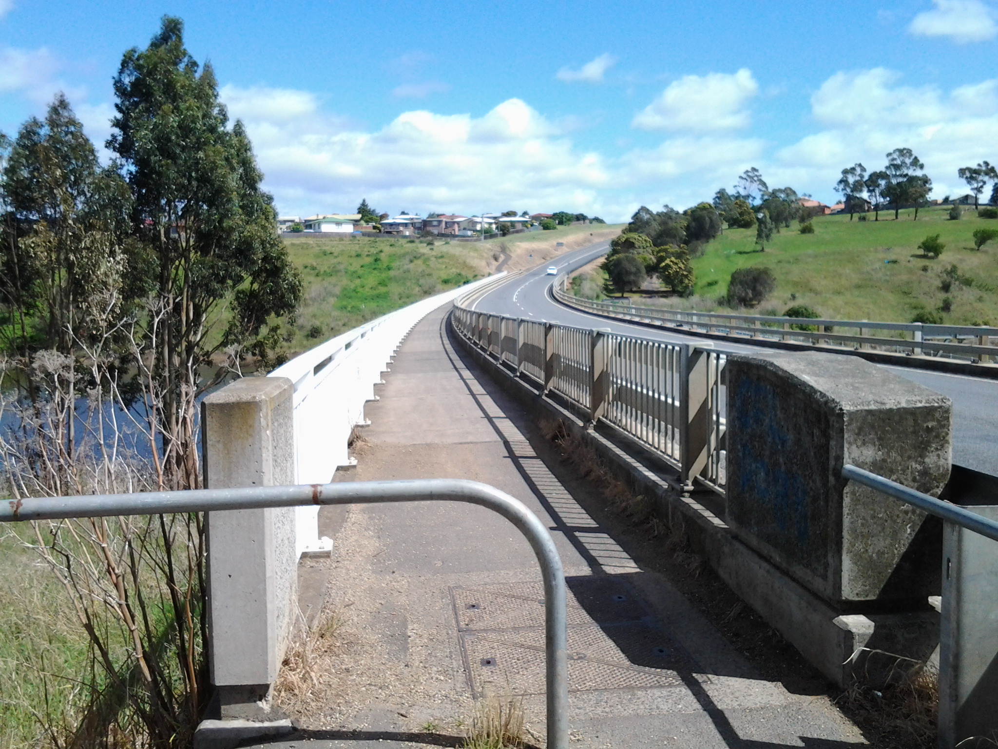
In the first couple of decades of the 19th century, when increasingly the small Van Diemens Land colony demanded more roads and better river crossings, the first road from Hobart Town to New Norfolk was built by McCarty under contract to the government. By 1840, the road to New Norfolk had extended to Ouse and Marlborough (Nive River) to serve remote settlers. During the next forty years the road was further extended for tourist purposes to Lake St Clair (Refer http://www.utas.edu.au/library/companion_to_tasmanian_history/R/Roads.htm).
Wikipedia offers the information that the highway did not reach Queenstown until the 1930s and was not properly surfaced for some time after that. In post cards of the 1940s and 1950s it is called the West Coast Road. When Tasmania’s hydro-electric system was expanding and their works were under construction at Tarraleah in the mid-1940s, the highway was re-aligned to follow the Derwent River until it passed Tarraleah to provide better access to the area for construction vehicles.

2008 details
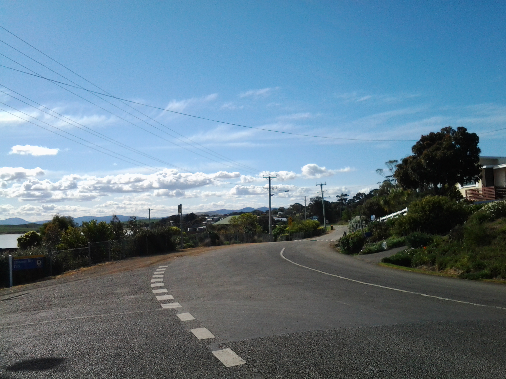
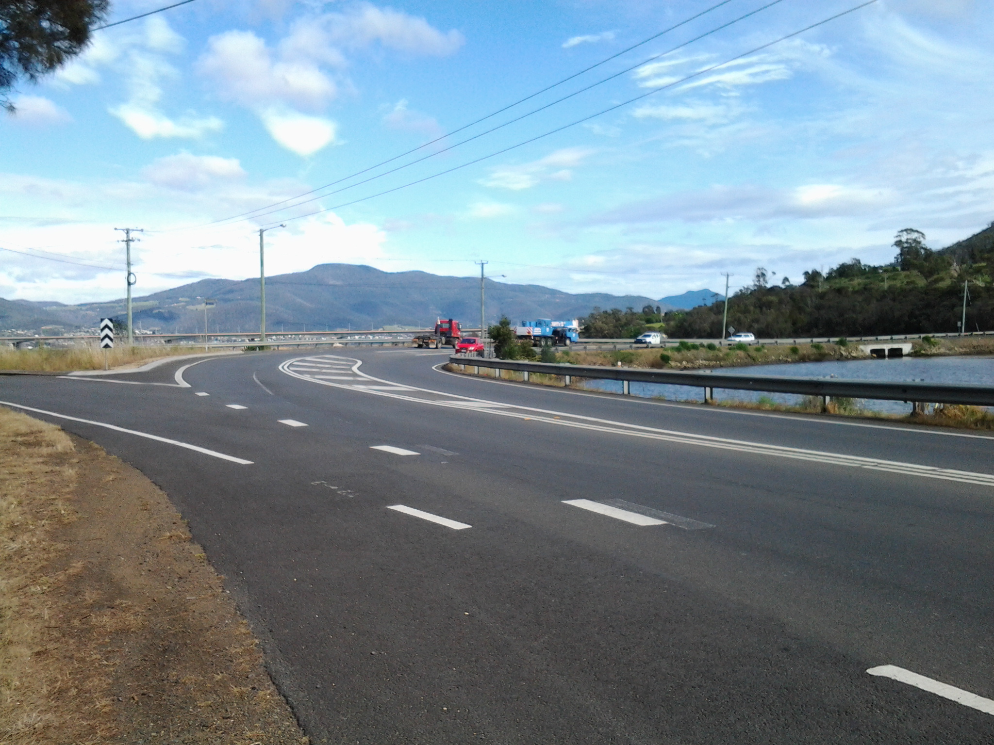
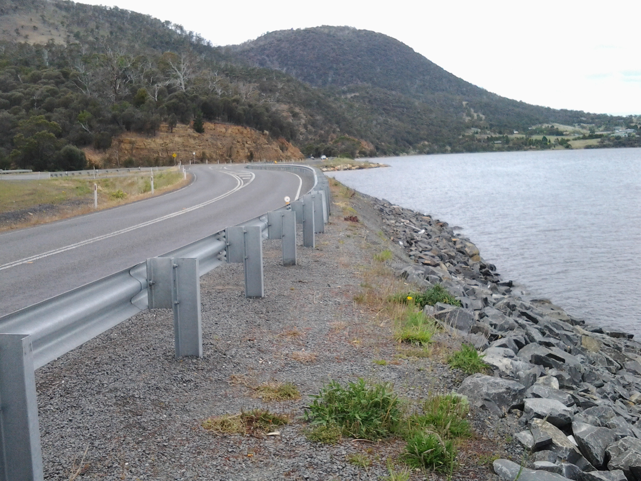
A 2008 government report (http://www.parliament.tas.gov.au/ctee/Joint/Reports/Lyell%20Hway.pdf), which recommended major changes be made to the road between Bridgewater Bridge and New Norfolk in order to create a safer highway, provided lots of information which added to my knowledge about this strip of road and its environment. I will be looking to see if the recommendations were acted upon when I walk (the temperature plummeted today, and wintry weather yet again made the walking of Stage 14 impossible).
The report explained ‘The Lyell Highway between Granton and New Norfolk is a two lane road with a sealed pavement width that varies in the range of 6.5m to 7.2m wide with unsealed shoulders. The highway follows the southern bank of the Derwent River. The highway is often located at the base of the hillside adjacent to the river flats and as a result has tight curves and sharp crests. The high, steep terrain on the southern side of the highway and deep soft silts on the northern side pose significant design challenges due to cost management and the environmental impact of the proposed works. The abutting land use is rural, dominated by rural residential with some horticulture (vineyards, tomatoes, cherries) and one private recreational facility, the Motor Yacht Club of Tasmania (MYCT). The Derwent River is a conservation area. On the southern side of the highway most of the land is hilly, mainly cleared with some trees along the roadside and a few scattered in the paddocks. There are some properties which remain untouched and vegetated by woodland. There are also rows of trees along the side of the road which form windbreaks and/or landscape features.’
Vegetation
According to the same report, the following three vegetation communities of conservation significance occur in the area:
The trees of Potential Cultural Significance along that stretch of the Lyell highway include
The following two significant flora species, listed on the Threatened Species Protection Act 1995, occur in the area:
Social history
There are a number of additional features in the immediate area that are considered to have some cultural heritage significance. Project 3 Lime kiln, Chain 3250 – 3540, is located on the northern side of highway. This is currently listed on the Tasmanian Heritage Register (THR) (R701)(http://www.heritage.tas.gov.au/thr.html) and hence is subject to the provisions of the Historic Cultural Heritage Act 1995. There are a number of additional features in the immediate area that are considered to have some cultural heritage significance, such as the Marsh Farm and a redundant section of the old main road.
The south of Tasmania is crossed by trunk roads, regional freight roads and regional access roads, including six of the highways for walking on when walking from the mouth of the Derwent River to the source.

2. On the eastern shore of the Derwent from Geilston Bay to Bridgewater Bridge it was the East Derwent Highway which felt the plod of my feet occasionally during stages 5 -8 of my walk.


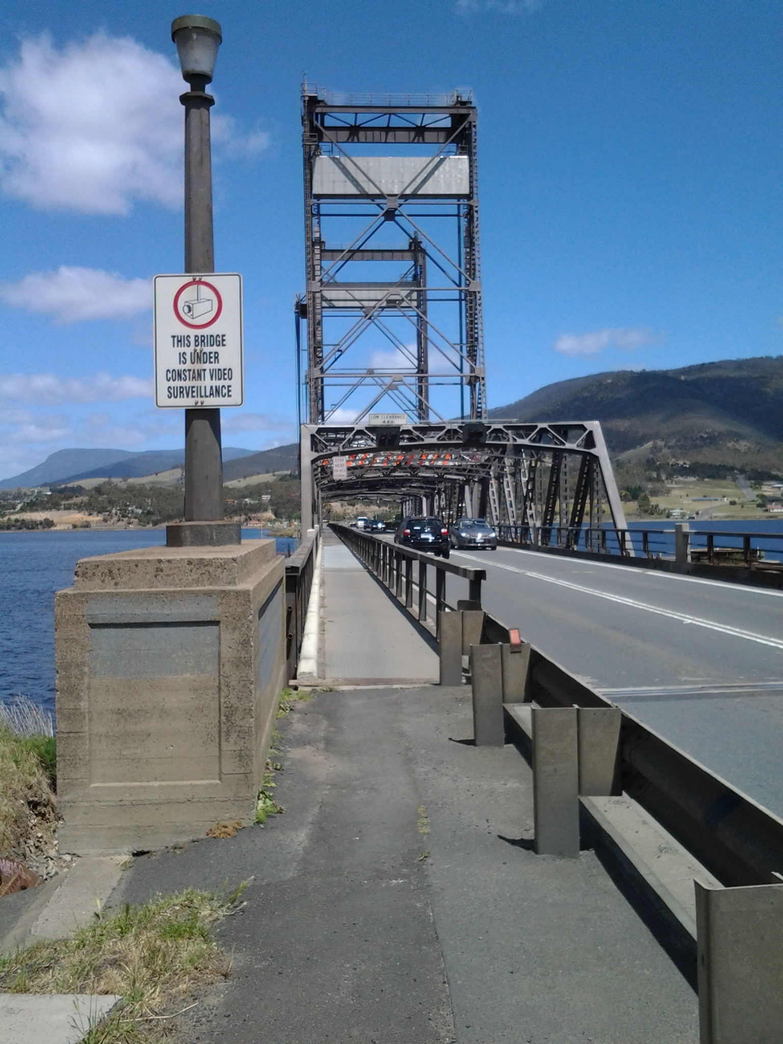
3. Once I reached Bridgewater on Stage 9, the highway crossing the Bridge was the Midland or Midlands Highway (sometimes referred to as the Heritage Highway).
4. Some of Stage 12 of my walk on the western shore towards the mouth of the Derwent River, included a couple of kilometres on the Channel Highway.
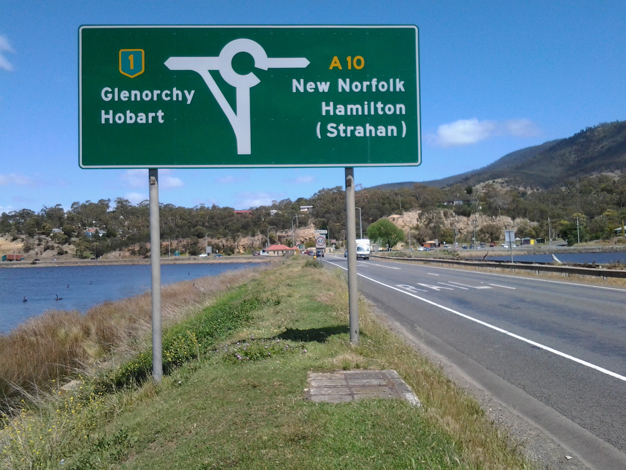
5. At the start of Stage 14 I will walk on the last few metres of the Brooker Highway, the main highway which extends from the centre of Hobart city to the Bridgewater Bridge at Granton. For the first time, at the Bridgewater Bridge, this Highway edges the Derwent River.
6. Immediately after the highway intersection with the Bridge, the Lyell Highway commences. From Granton until I reach the source, the Derwent River winds closest to the Lyell Highway, the highway which extends west to the town of Queenstown (which is overshadowed by the copper bearing Mount Lyell). This highway will be my life line in terms of accessing public buses.
Visiting Turkey, Italy, Morocco and Hungary
Hotels in Launceston to 1900
The ribbon that separates the eastern and western shores of Hobart, Tasmania's capital city
The ribbon that separates the eastern and western shores of Hobart, Tasmania's capital city
Beautiful wilderness locations and more
Keeping track of our adventures.
Travel and Photography
The ribbon that separates the eastern and western shores of Hobart, Tasmania's capital city
From Hobart to Hobart via four continents
Nature + Health
Solo hiking is an amazing challenge. Let's go... and keep going!
Sharing Inspiration from the Wild
My soul explores where my mind wanders...
A Hundred Years from Philadelphia to New Hampshire
Following her writing dreams
Ariadne's Clew - the Ship's bLog: sailing Tasmania with the Stoneman family
My life's aspirations, inspirations and a little bit about running :)
We are about to embark on great change, we are moving to Tasmania.
Our everyday adventures
