Author Archives: Tasmanian traveller

Unknown's avatar

About Tasmanian traveller

Through travel, I have experienced the eccentricities of people and their environments around the world. At the same time, I love where I live. So, for people who cannot travel to discover the wonders of my home town, this blog is an attempt to introduce its exoticness. My goal was to walk along both sides of Hobart's Derwent River from the mouth to New Norfolk, and to walk on one or alternating sides of the River between New Norfolk and the source of the River at the southern end of Lake St Clair. The walk was undertaken in stages around my other commitments of my life. Almost all stages of the walk connected with Tasmanian public transport - my intentions was to inspire people, who do not have access to a vehicle, to feel they can replicate the walks. This blog reports on each stage in the hope it will encourage people to either follow in my steps or to create their own walking project where-ever they live. Please note: The blog background and headliner image of 'Hobart from Mt Wellington' is the work of Tourism Tasmania and Garry Moore. It is a free image with unrestricted copyright and available from http://www.tassietrade.com.au/visual_library

Panoramic views

I continued walking up and down the cleared land of the undulating landscape forever keeping as close to the Cluny Lagoon as practicable.

20160124_144524.jpg

And occasionally I deviated away from the river to capture the panorama.

20160124_144817.jpg

20160124_145834.jpg

20160124_150404.jpg

In addition, I felt compelled to take photos of the towers and wires which remind me that the water of the Derwent River is being used to generate electricity.  Cluny Lagoon exists to keep us electrified.

20160124_144952.jpg

20160124_145044.jpg


Feather

I took a couple of photos of a feather as I walked beside Cluny Lagoon. However, because of the large length and with my eyes squinting against the pervasive sunlight, I missed seeing that the entire feather was not within the photo frame.

20160124_143531.jpg

This was a very very large feather.  You can see the front of my walking boot next to the feather. I placed my heel at the quill end of the feather so you can get an idea of the length of the feather.

20160124_143545.jpg

So – which type of bird lost a feather?  My first reaction is that the feather will be from an endangered Tasmanian Wedged Tail Eagle.  Is there a blog follower who can identify this feather?

Trees framing Cluny Lagoon

I loved the handsome native eucalyptus trees providing windows to the water.

20160124_143105.jpg

20160124_143108

20160124_143809.jpg

20160124_143525.jpg


The colours of Cluny Lagoon

Apart from a boat trailing a skier motoring up and down the Lagoon, the water was ruffled only by occasional breezes.  Despite the occasional rain the afternoon was comfortably warm, and so the Lagoon looked inviting.  But I walked on.

20160124_142502.jpg

20160124_143302Depending on the light, the Lagoon sometimes glistened blue or sat as a plane of gun metal grey.

20160124_143048.jpg 20160124_142704.jpg

20160124_142923.jpg

20160124_143249.jpg

At other times, the water seemed almost to be a shade of green for a tonal blend with the landscape.

20160124_143053.jpg

20160124_143258.jpg


Cow tracks

A mesh of cow tracks can be followed along the edge of the Cluny Lagoon. Some indicate that locals walk these tracks from time to time but most were faint and optional.

20160124_143820

20160124_142344

20160124_142508.jpg

20160124_144413.jpg

Where the cliffs or banks fell straight into the water, the only choice was to walk on their tops.

20160124_142459.jpg

20160124_142701.jpg

20160124_143805.jpg

20160124_144530


Reaching the water of Cluny Lagoon

20160124_141759.jpg

20160124_141802.jpg

20160124_141833.jpg

20160124_141804.jpg

20160124_142136.jpg

20160124_142107.jpg

20160124_142149.jpg

Where the stony cliffs or steep banks did not drop deeply into the Lagoon, the low water level exposed muddy flats.

20160124_142203.jpg

Cluny Dam

On an earlier reconnaissance trip I approached the Cluny Dam. The photos show both sides of the Dam.

20151029_160115.jpg

20160121_115750.jpg

20160121_115752.jpg

On my ‘gap’ walk, I headed down the hill from the Hydro Tasmania locked gate, and enjoyed watching the Cluny Lagoon sweeping around a curved piece of land below.

20160124_140855.jpg

I followed the road and vehicular tracks for a way and generally wandered around the Cluny Lagoon/Dam area.

20160124_140901.jpg

20160124_141333

Then I headed to the water upstream of Cluny Dam, ready to walk along the banks.

20160124_141336


Plantation forests in the distance

From the start of my walk, the bulk of one green mass on the other side of Cluny Lagoon signalled a plantation forest.  This man-made forest showed the irregularity and environmental diversity of the Tasmanian bush clearly by contrast. I was surprised how many of my photos contained this massive ‘foreign’ green.

20160124_140328

20160124_140331.jpg

20160124_140447.jpg

20160124_140454.jpg

20160124_145836.jpg

20160124_143258


Starting out for the walk to Lake Repulse Dam

I chose to walk to Cluny Dam from a gated entrance road and then head back westwards all the while walking next to Cluny Lagoon towards my goal which was the Lake Repulse Dam.

To reach the start of the walk, and thanks to Megan, I was driven down the main gravel road from the Lyell Highway (you need to turn off left after the town of Ouse) until we came to a junction indicating the two dams.

20160124_150725.jpg

Of course, we drove down the Cluny Dam road until it was time for me to start walking. The road to the Cluny Dam is blocked by a gate so if you wish to follow in my footsteps, you should obtain permission from Hydro Tasmania.

20160124_150624.jpg

20160124_145612.jpg

The day was marked with rain on the horizon and sometimes a few spots lightly dropped on me. The rain showers softened the distant relatively undisturbed bush landscape in stark contrast to the crisp dry yellow grasses on the cleared land around me.

20160124_140328.jpg

20160124_140454.jpg

The blue of Cluny Lagoon, through which the Derwent River runs, was ever present.  As usual the water uplifted my spirits.

Cluny Dam, Cluny Lagoon and Lake Repulse Dam

Walking between the two dams is an easy stroll offering dramatic vistas as the Derwent River twists and turns its way through Cluny Lagoon. You can expect to read a series of posts about this little walk – which filled one of the gaps in my trek from the mouth to the source of the Derwent River.

Chantale’s aerial photos below show Cluny Dam, Lake Repulse Dam and then some of the water rushing towards Cluny Lagoon.

IMG_3895Cluny dam.JPG

IMG_3893Repulse Dam.JPG

IMG_3894.JPG

Michelle’s photo shows some of Cluny Lagoon snaking in a fat shape behind the Dam, and then closer to Lake Repulse Dam.

PA280086Cluny dam and lagoon.JPG

OLYMPUS DIGITAL CAMERA

OLYMPUS DIGITAL CAMERA

My photos below show Cluny Lagoon backed up onto Cluny Dam, and the Derwent River let run from Lake Repulse Dam and heading towards Cluny Lagoon.

20151028_114827.jpg20151028_114858.jpg


The Derwent River near Wayatinah town ship

20160115_130309BBridge over Derwent at Wayatinah.jpg

20160115_130344 Derwent.jpg

20160115_130425 Derwent

20160115_130353 Derwent

20160115_130451.jpg

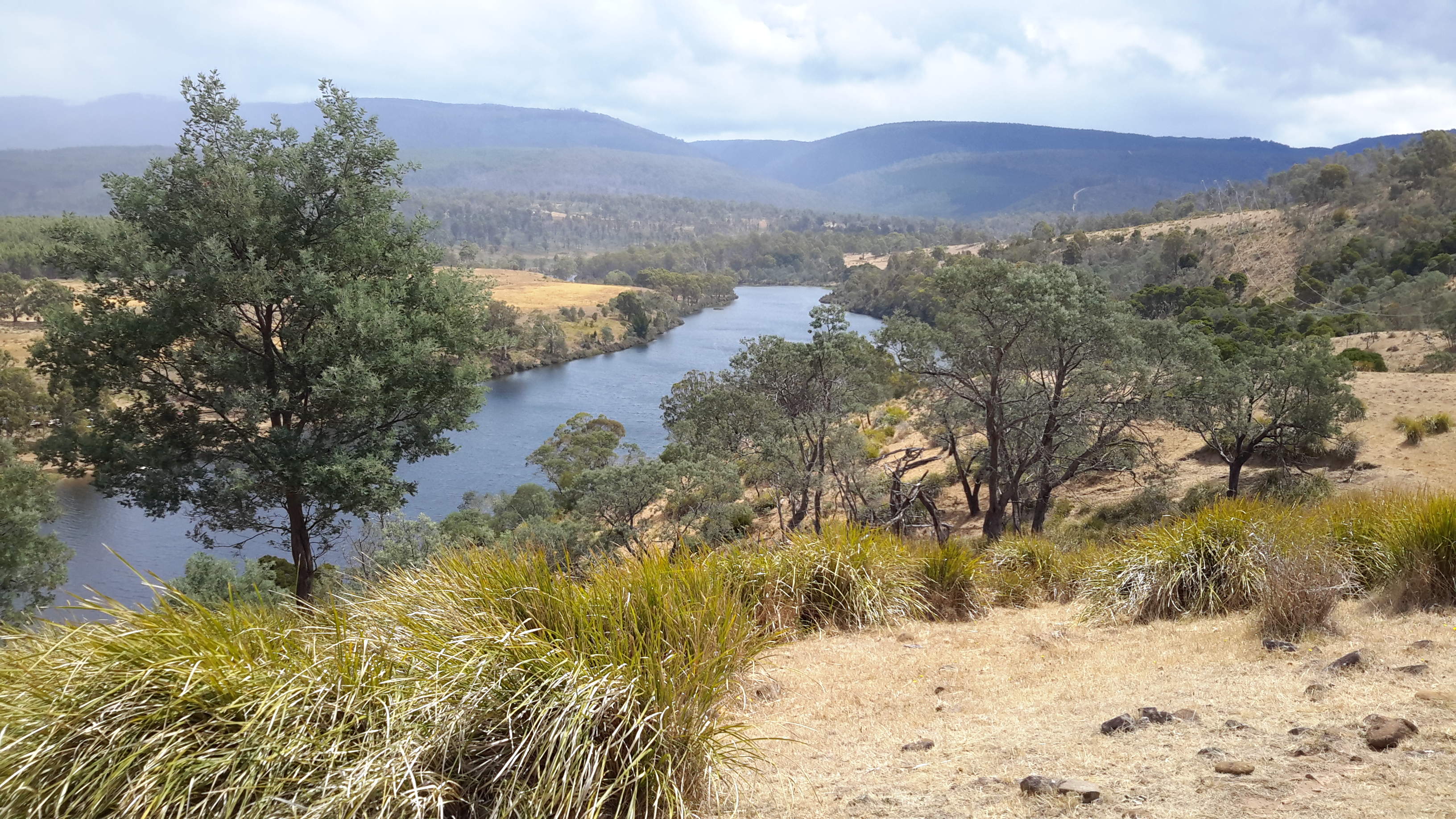
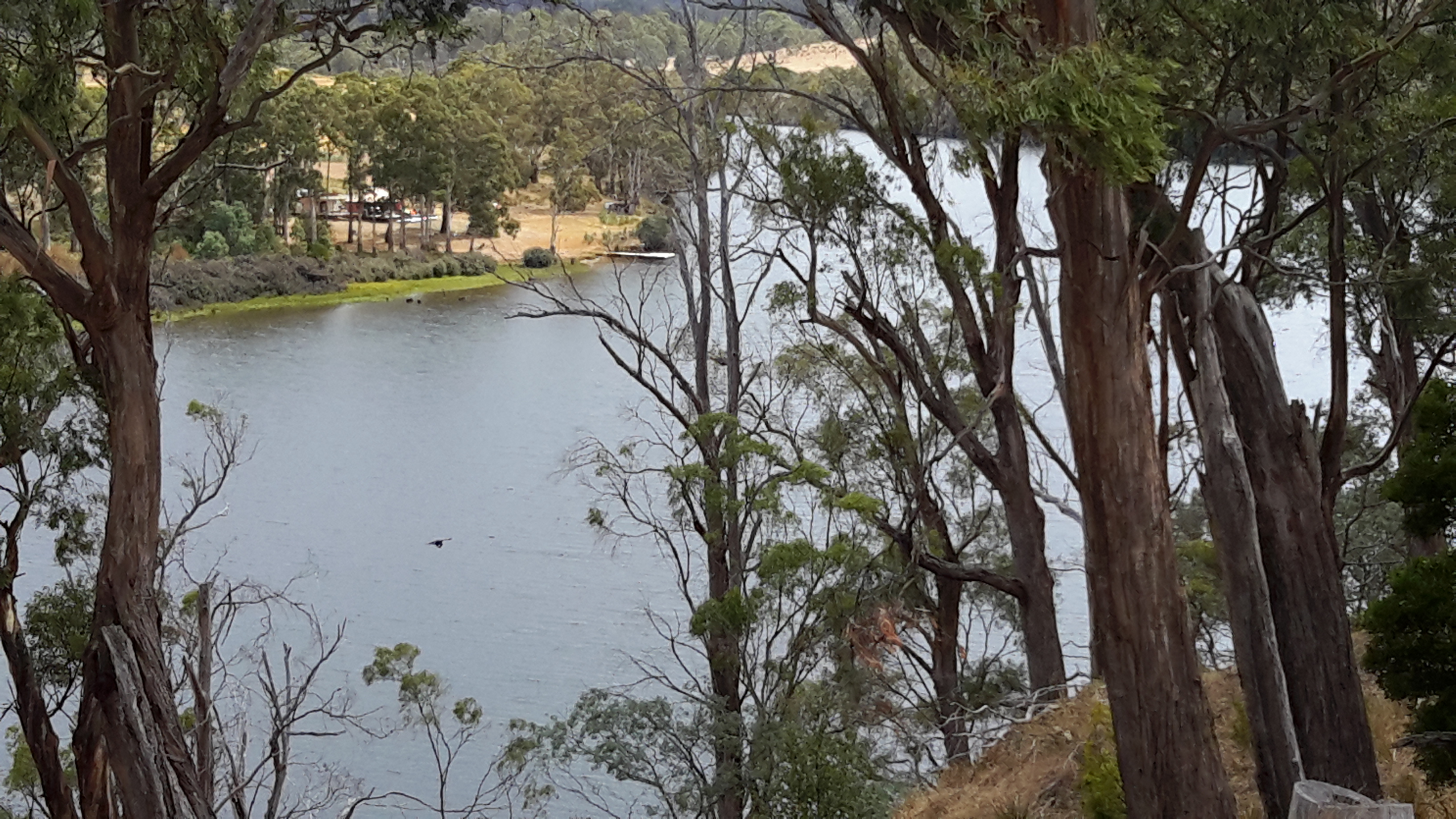
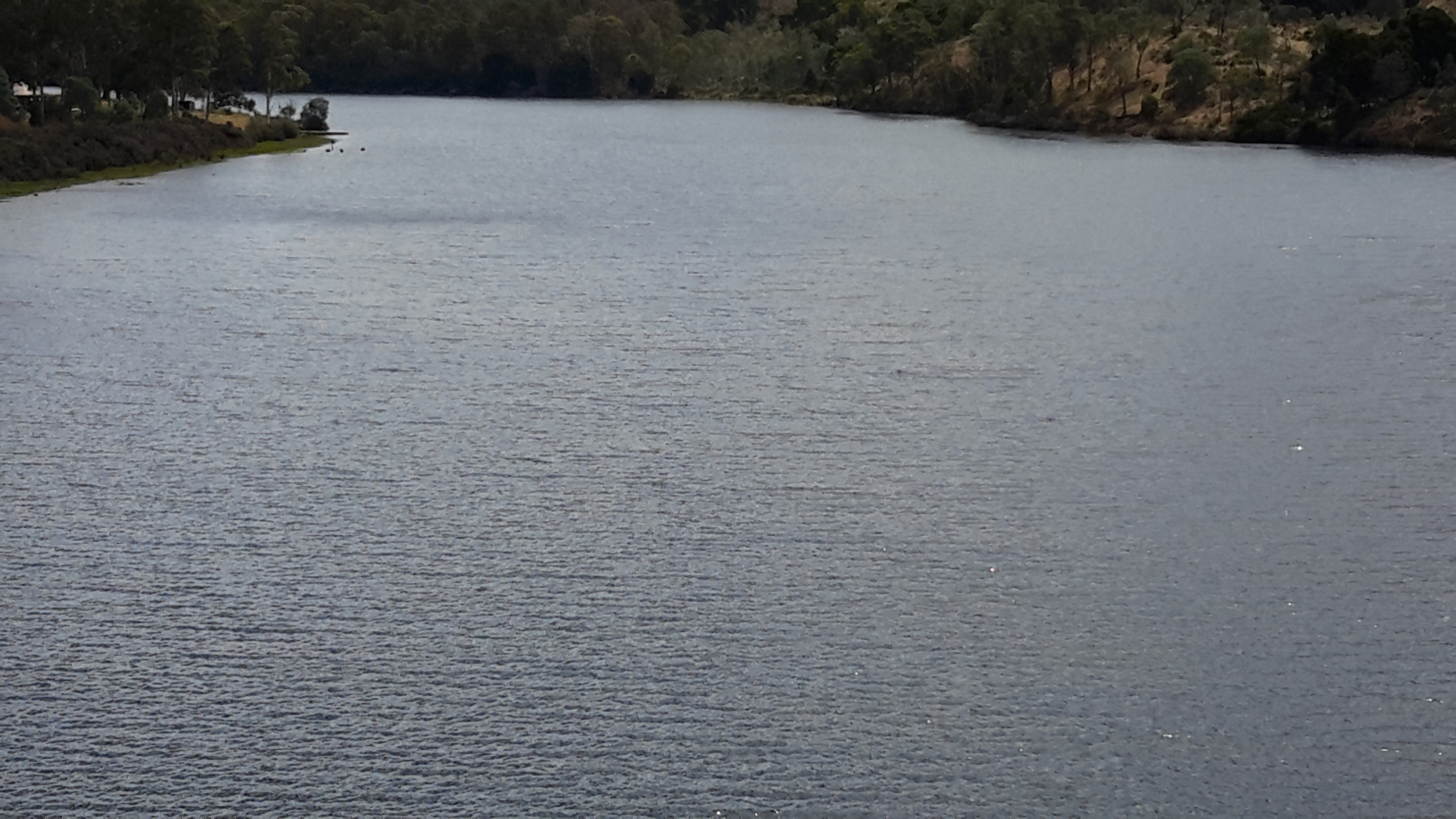
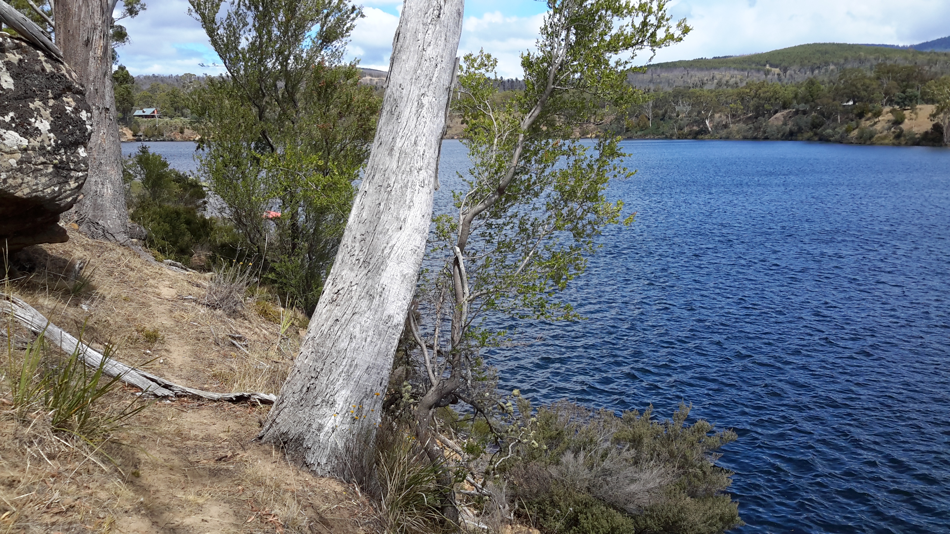
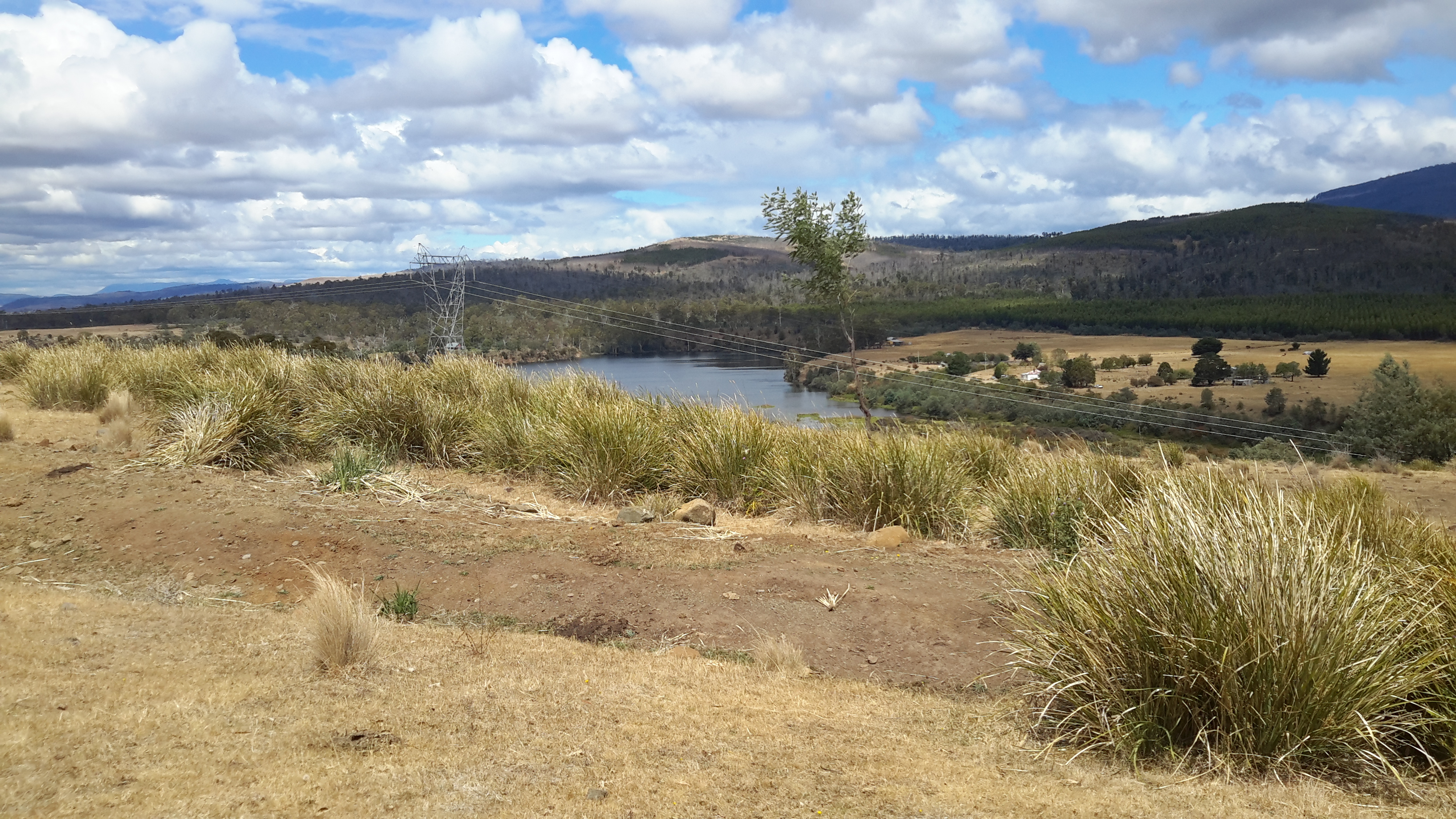
Salmon hatchery at Wayatinah on the Derwent

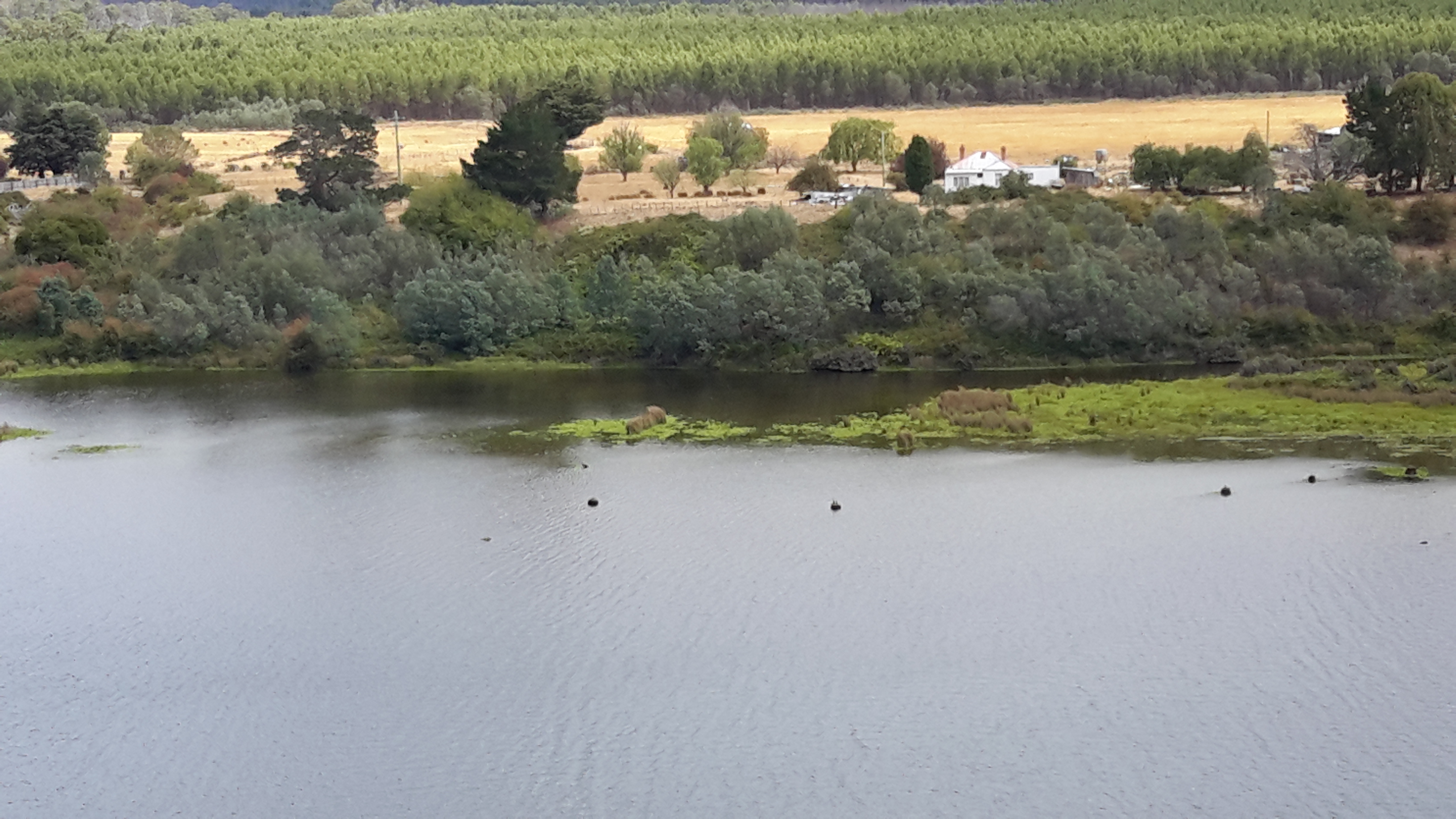
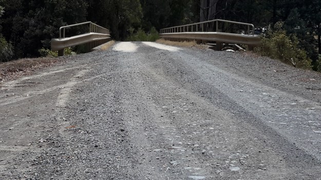
Next to the bridge over the Derwent River on Wayatinah Road, an Atlantic Salmon hatchery owned by Salmon Enterprises of Tasmania Pty Ltd trades as Saltas.

According to the Tasmanian Salmon Growers Association the business was established in 1985 ‘after a report to the Tasmanian Fisheries Development Authority concluded that a salmon farming industry could be successfully developed in Tasmania. As a result, in 1984 fertilised Atlantic salmon eggs were purchased from the Gaden Hatchery (Thredbo River, Jindabyne, New South Wales, Australia), which were from stock originally imported in the 1960s from Nova Scotia, Canada. A sea farm was established at Dover in the south of Tasmania and a hatchery was developed at Wayatinah in the central highlands.’

Innotech Controls claims Saltas is ‘Australia’s largest producer of Tasmanian Atlantic Salmon smolt, supplying over 3.5 million smolt each year to the Salmon farm industry.’  Their website provides details about water temperature management using the water of the Derwent River and Wayatinah Lagoon. ‘At Wayatinah, the water used by the SALTAS hatchery is gravity fed from the River Derwent. During the hot summer months, when river flow is greatly reduced, the water temperature can rise by as much as 10 °C in an 8 hour period. Water temperature in excess of 23 °C can be fatal to the fish stock. Located 1km from the hatchery is Wayatinah Lagoon, a man-made lake that forms part of the State’s Hydro Electric scheme. Research showed that at a depth of 6 metres, the water temperature was consistently between 9 and 17 °C. A project was undertaken to utilise water from the lagoon for temperature control at the hatchery and to provide additional water in times of low flow in the River Derwent. The water temperature is monitored at the hatchery where it is maintained at 16 °C +/- 1 by staging the water pumps at the lagoon.’

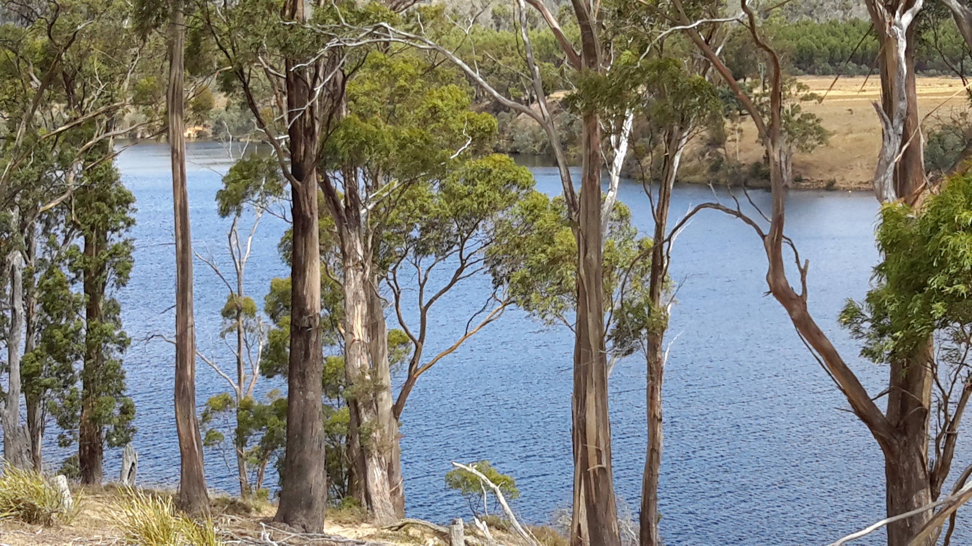
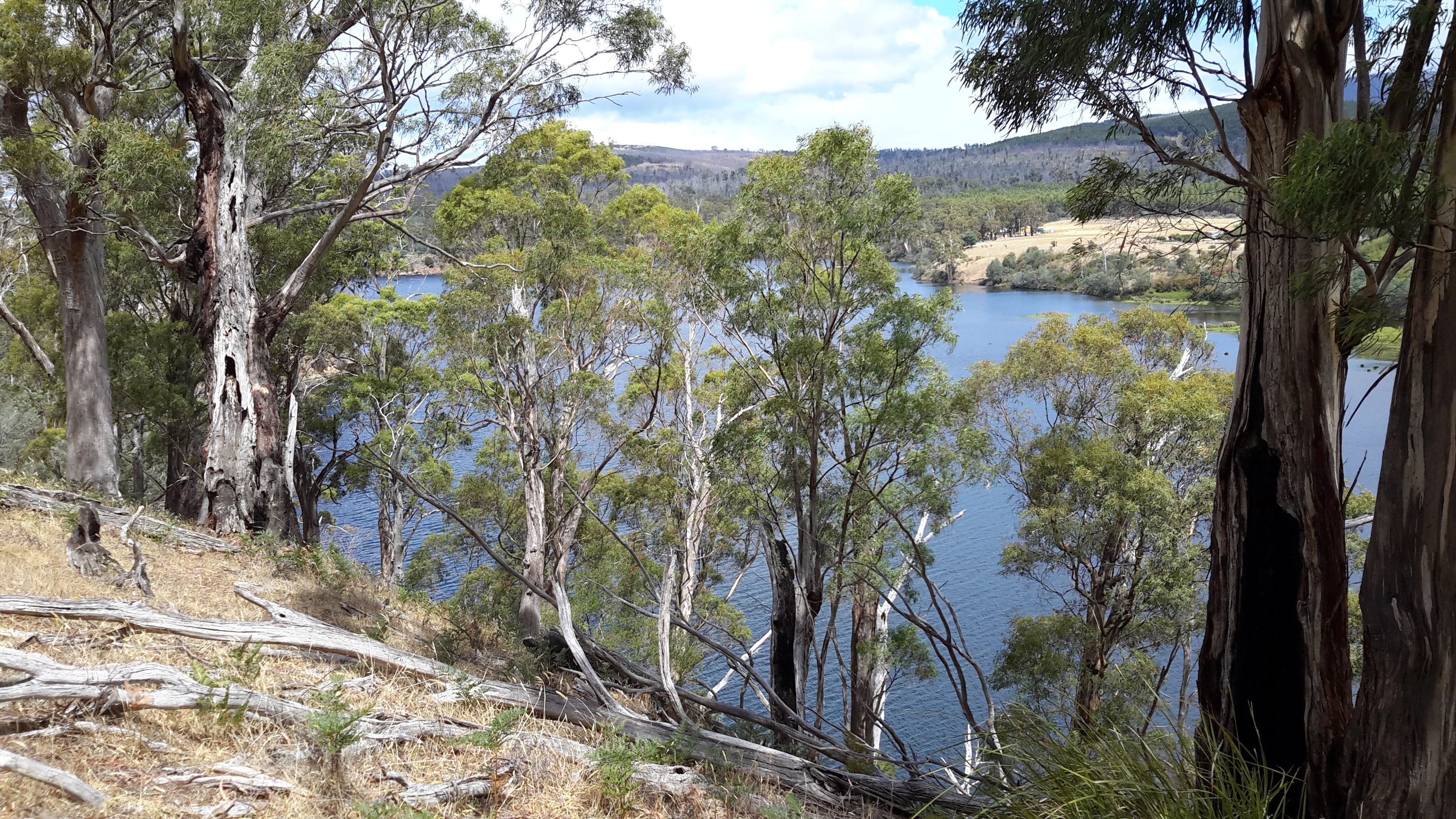
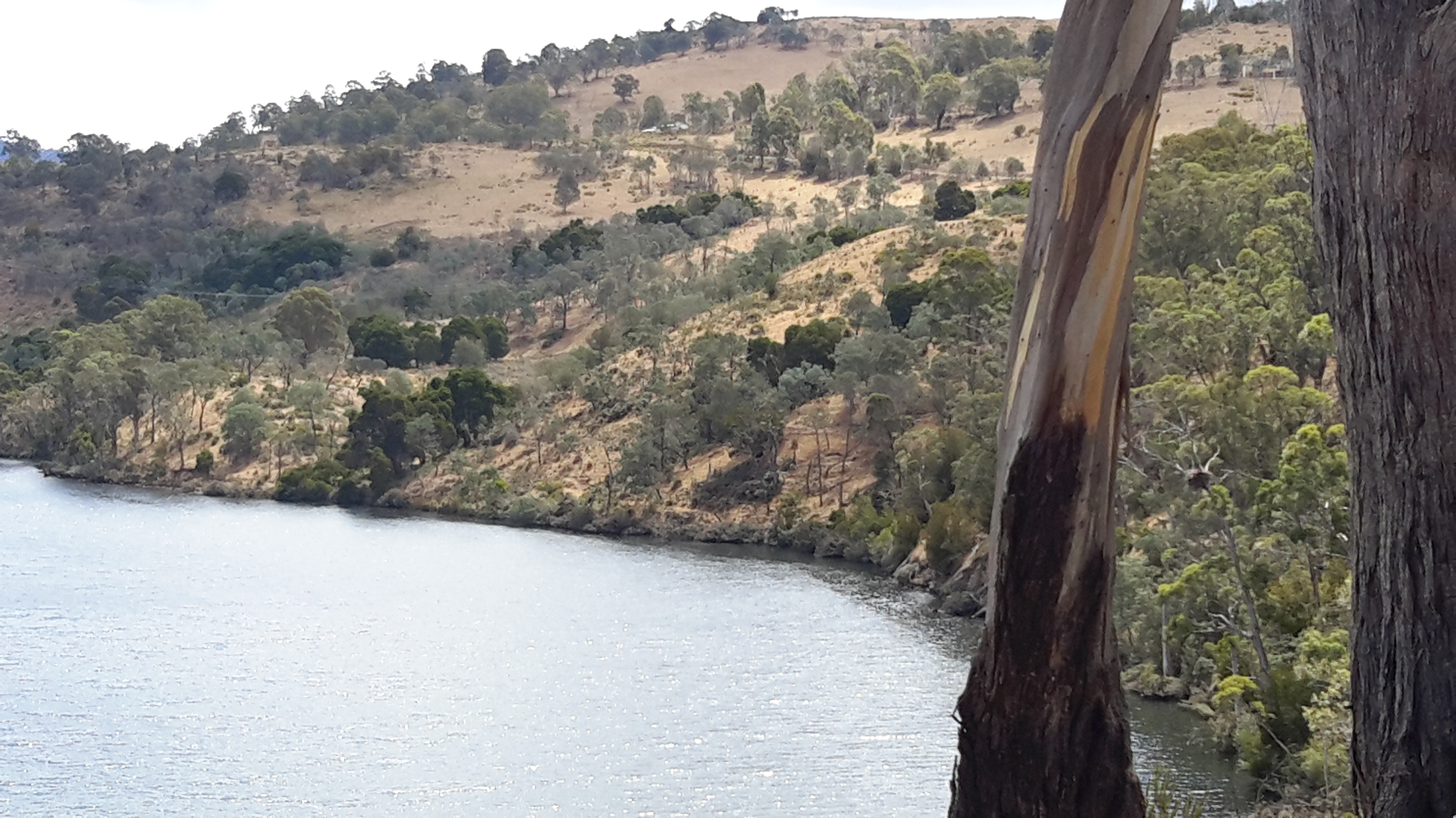
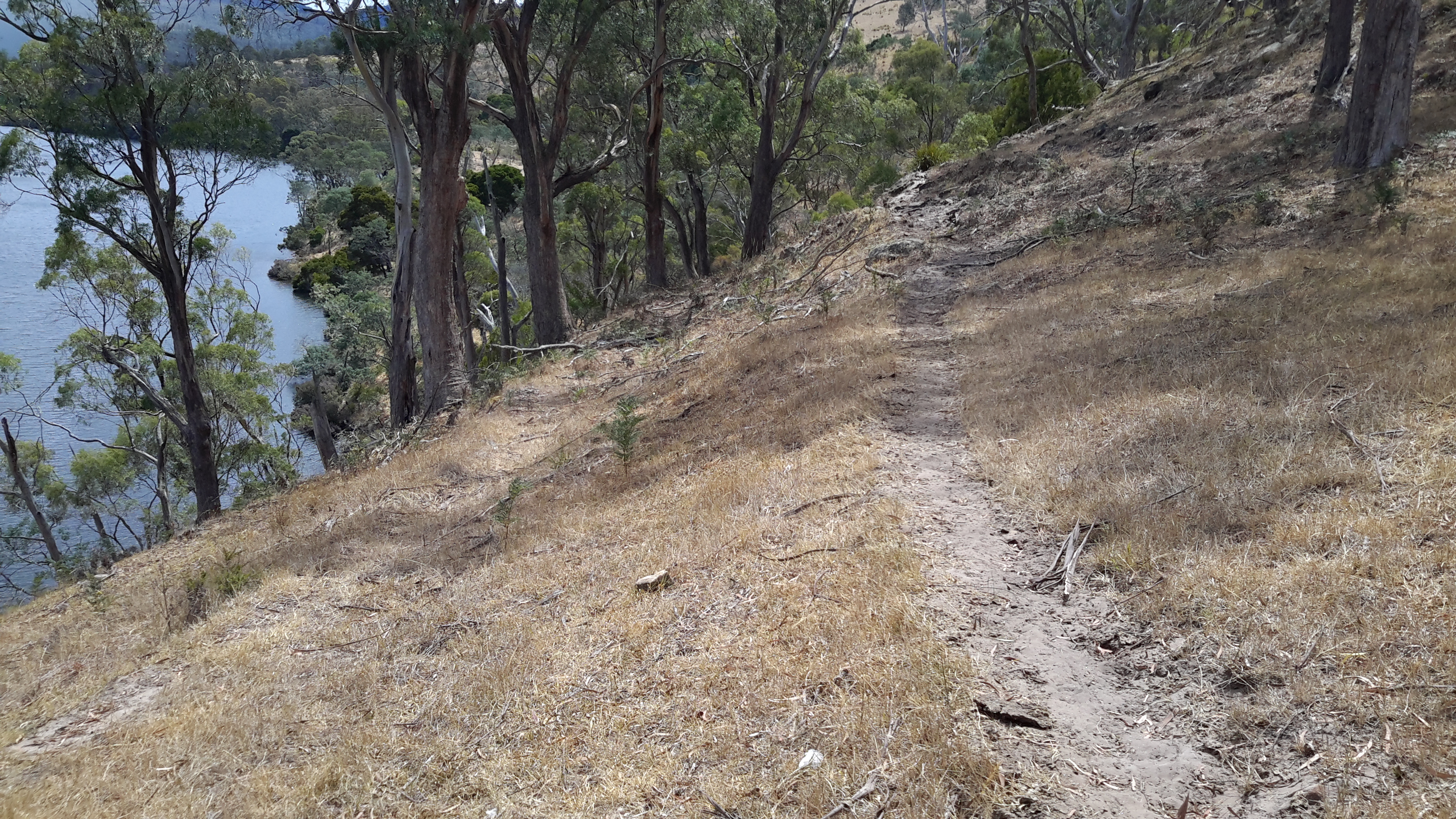
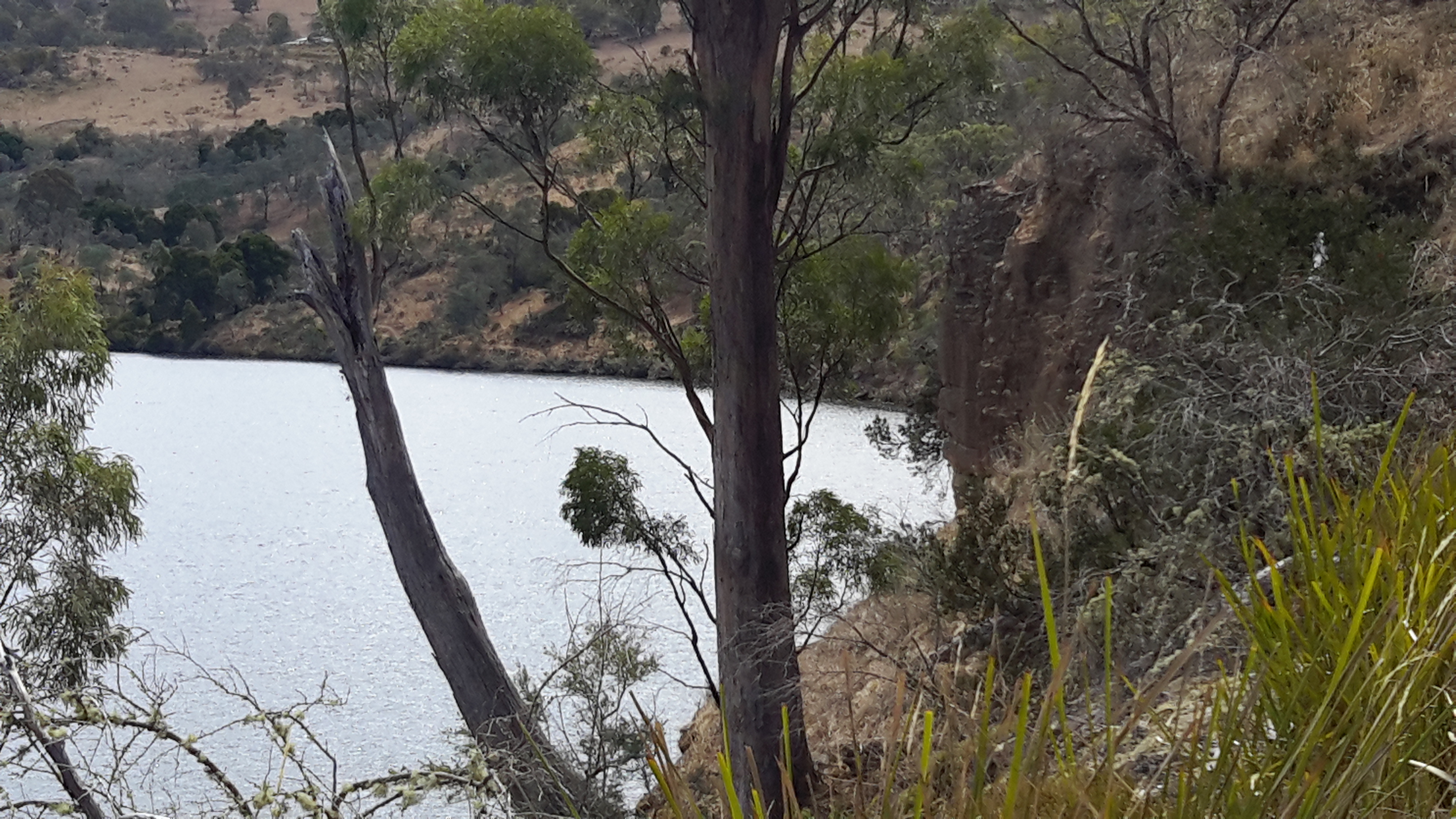
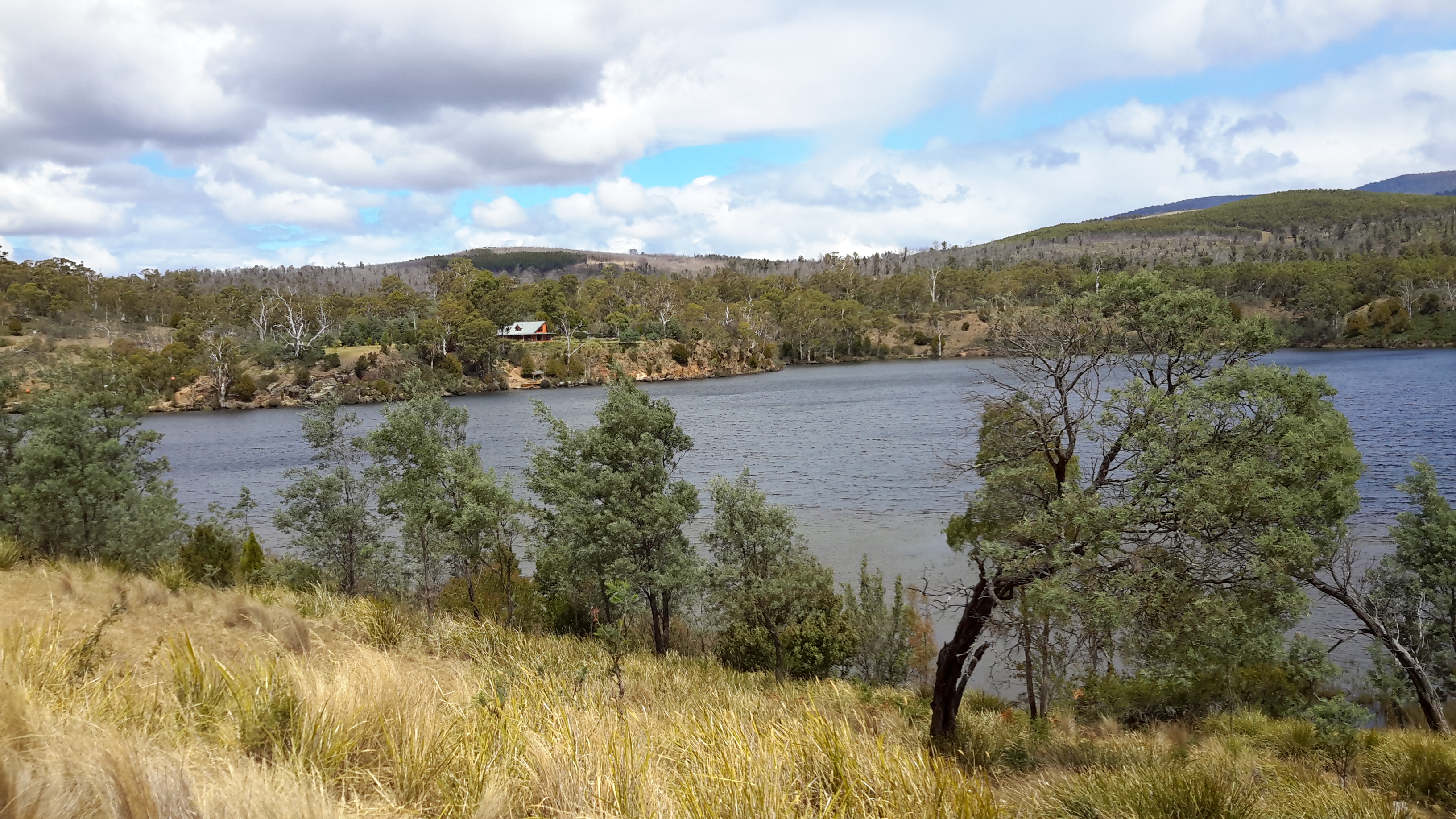
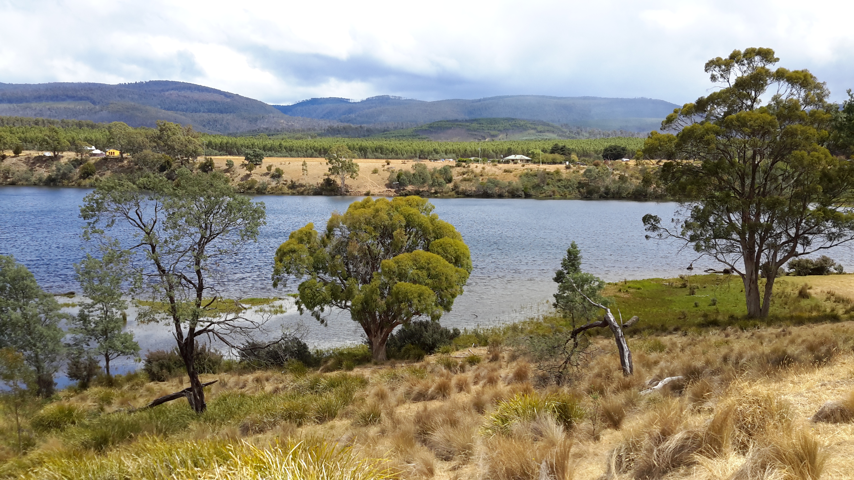
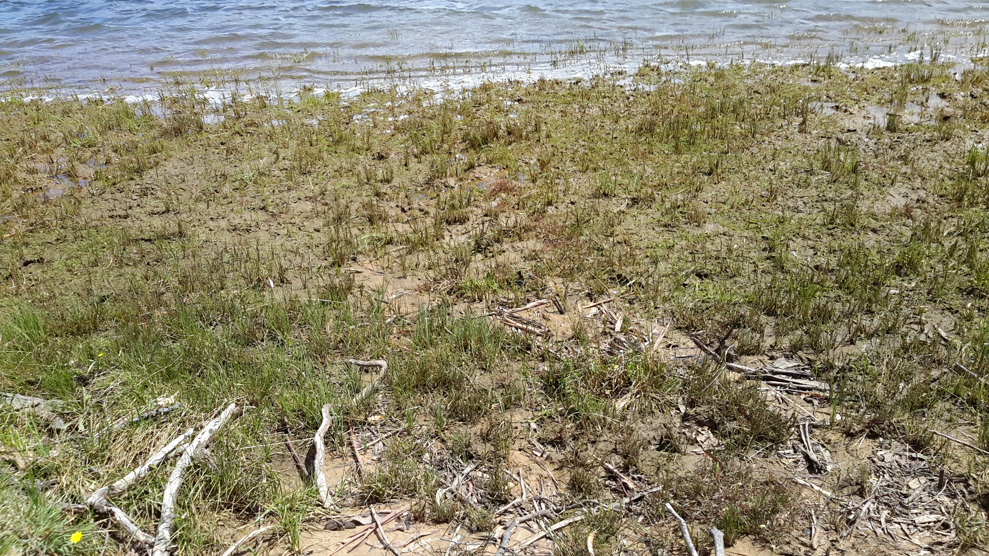
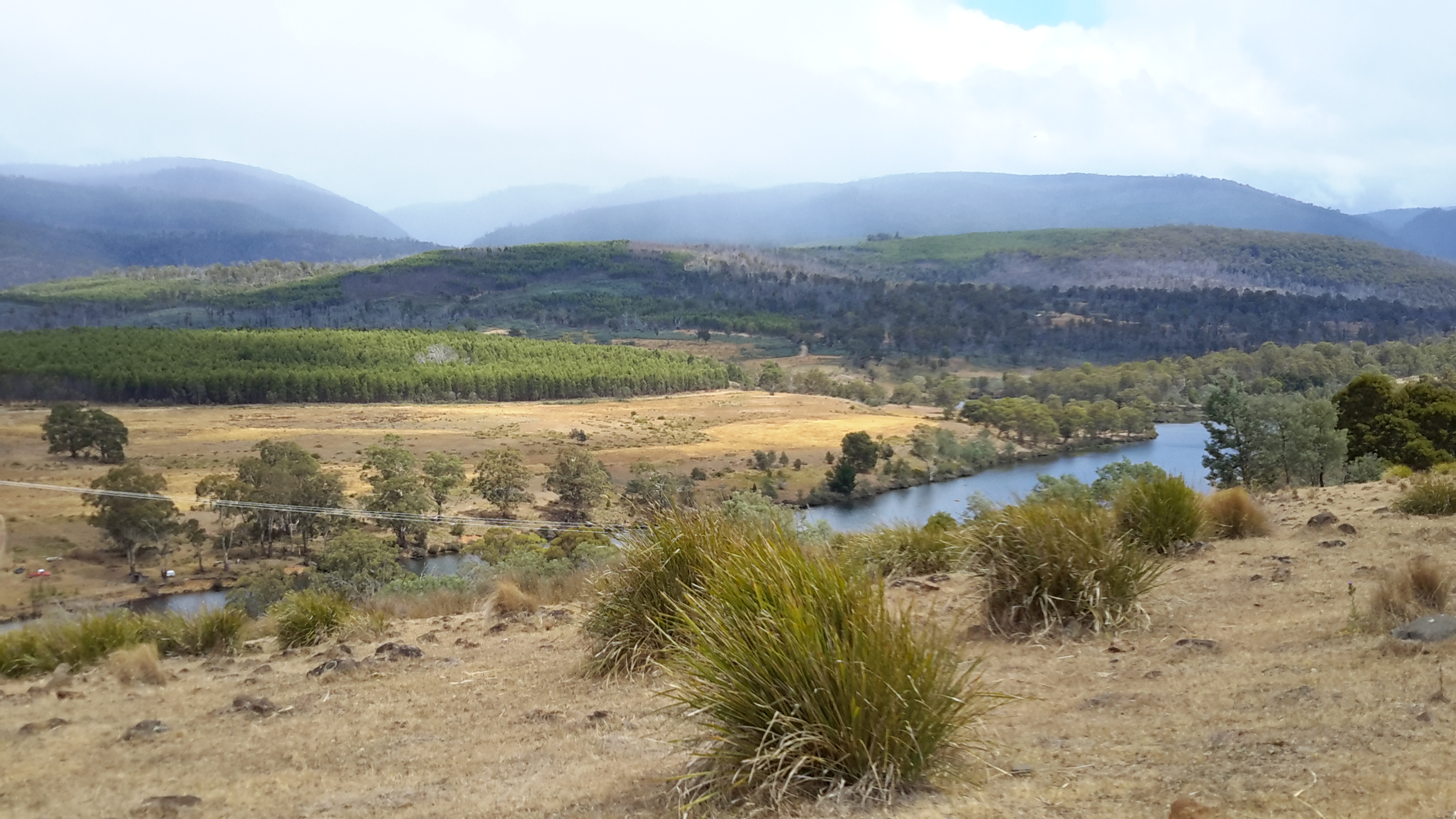
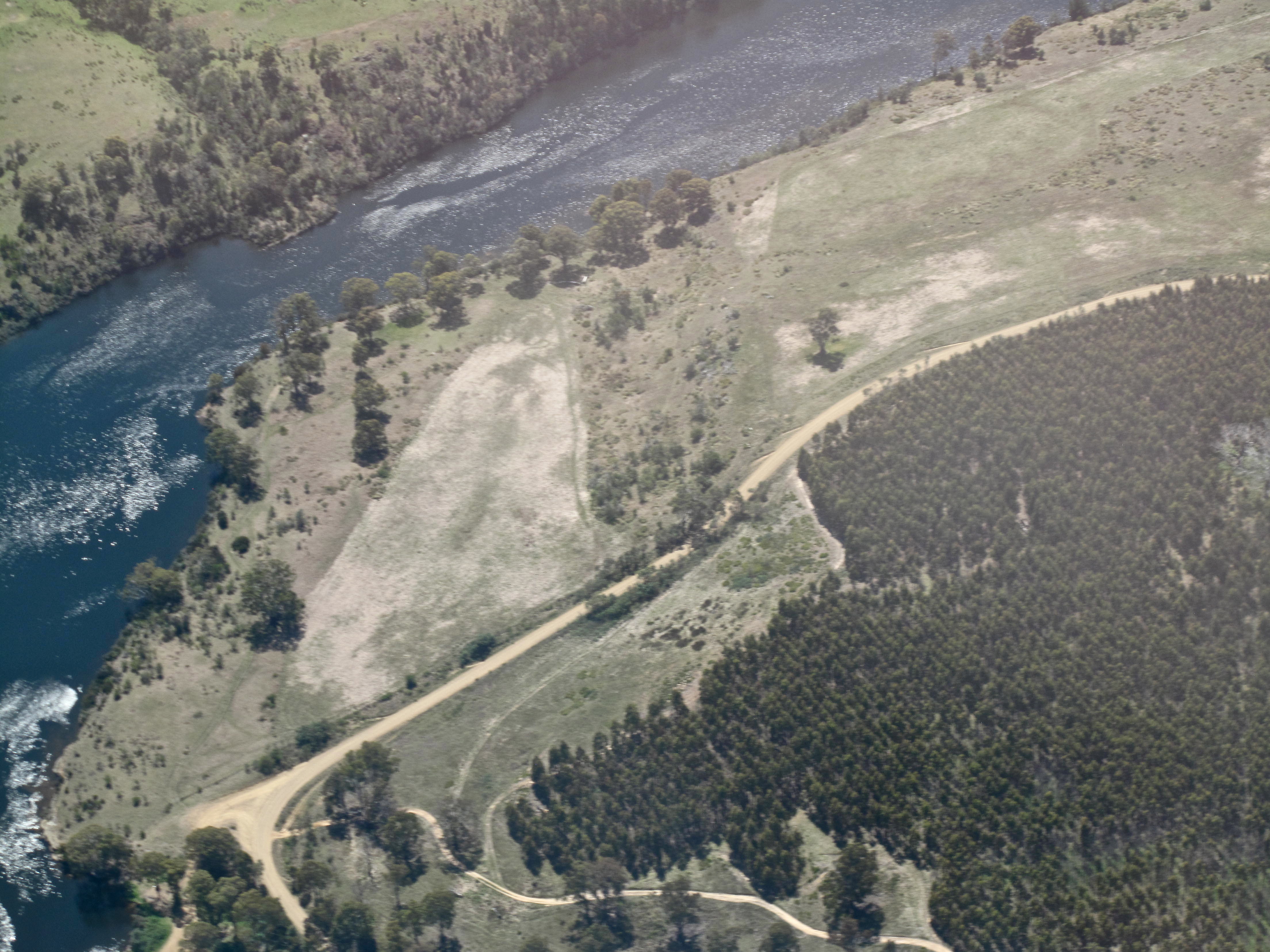
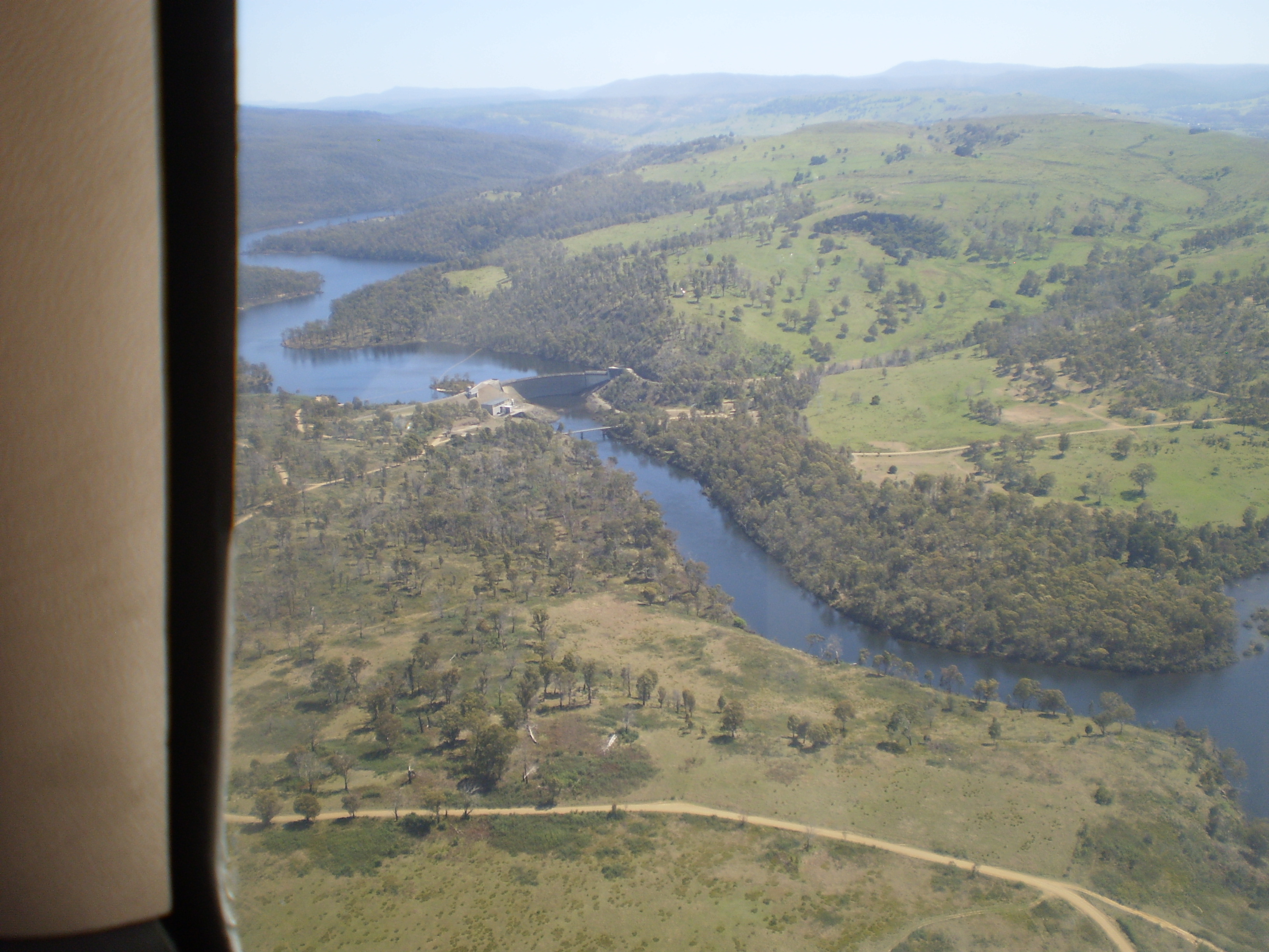
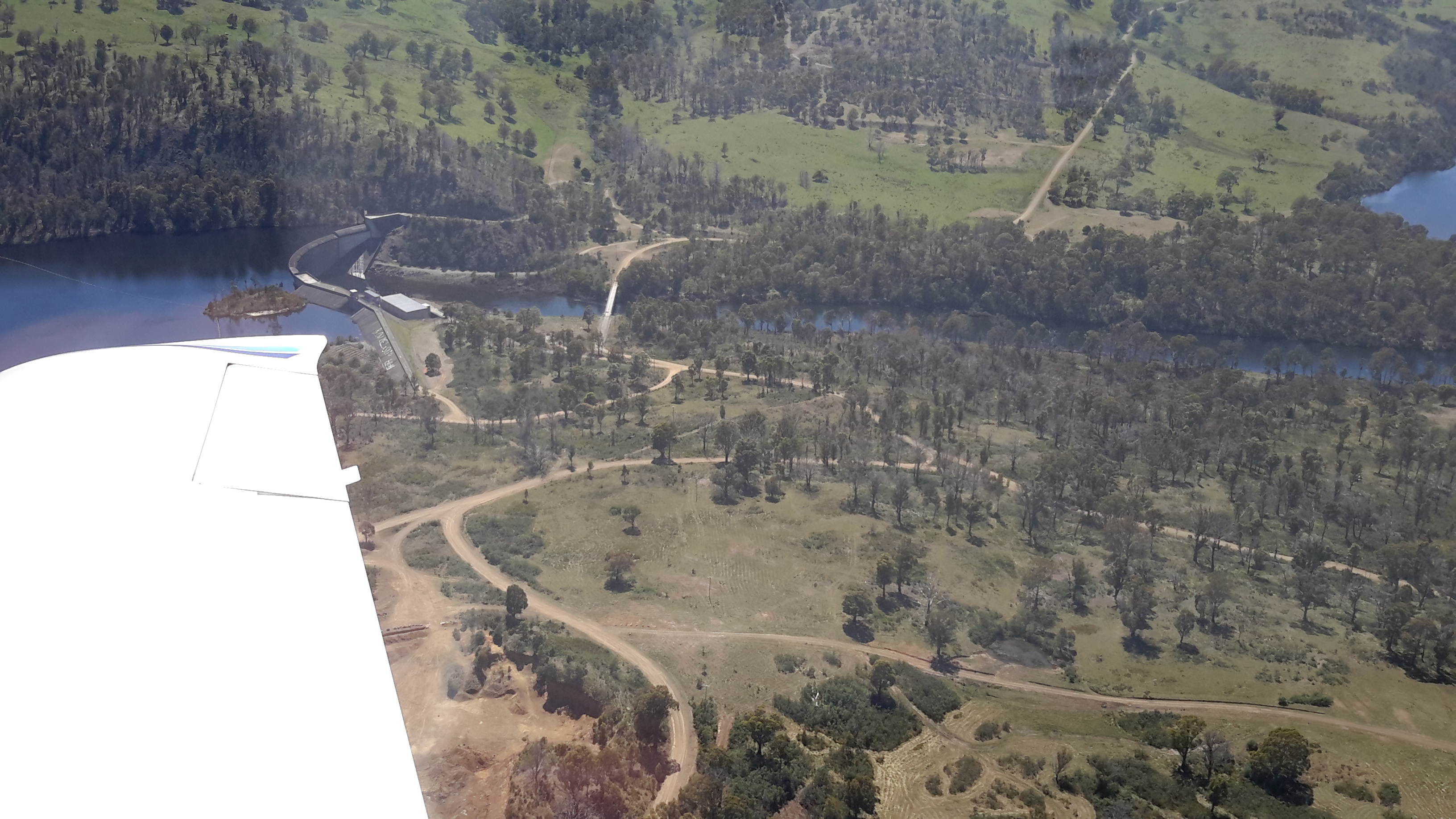
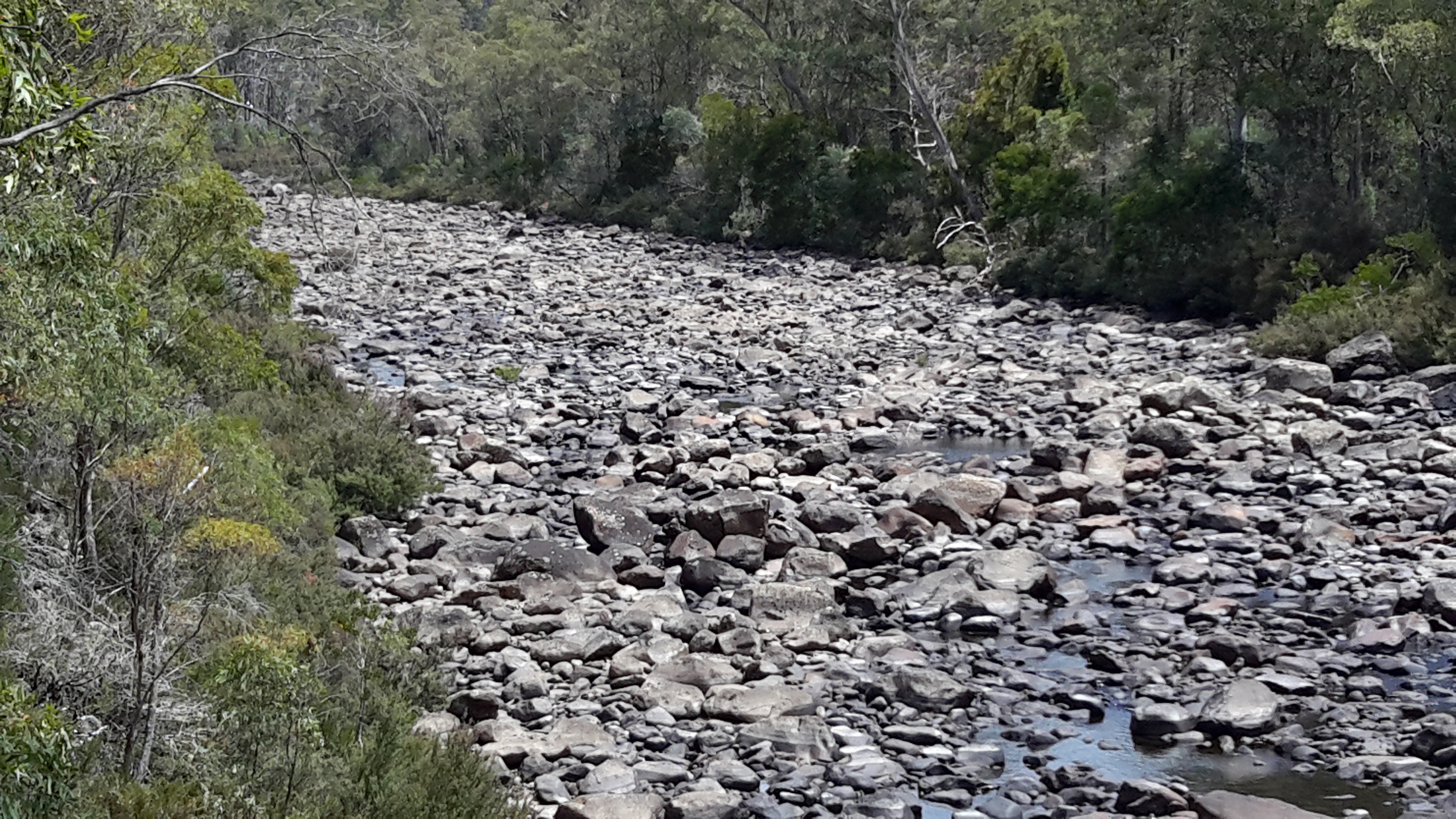
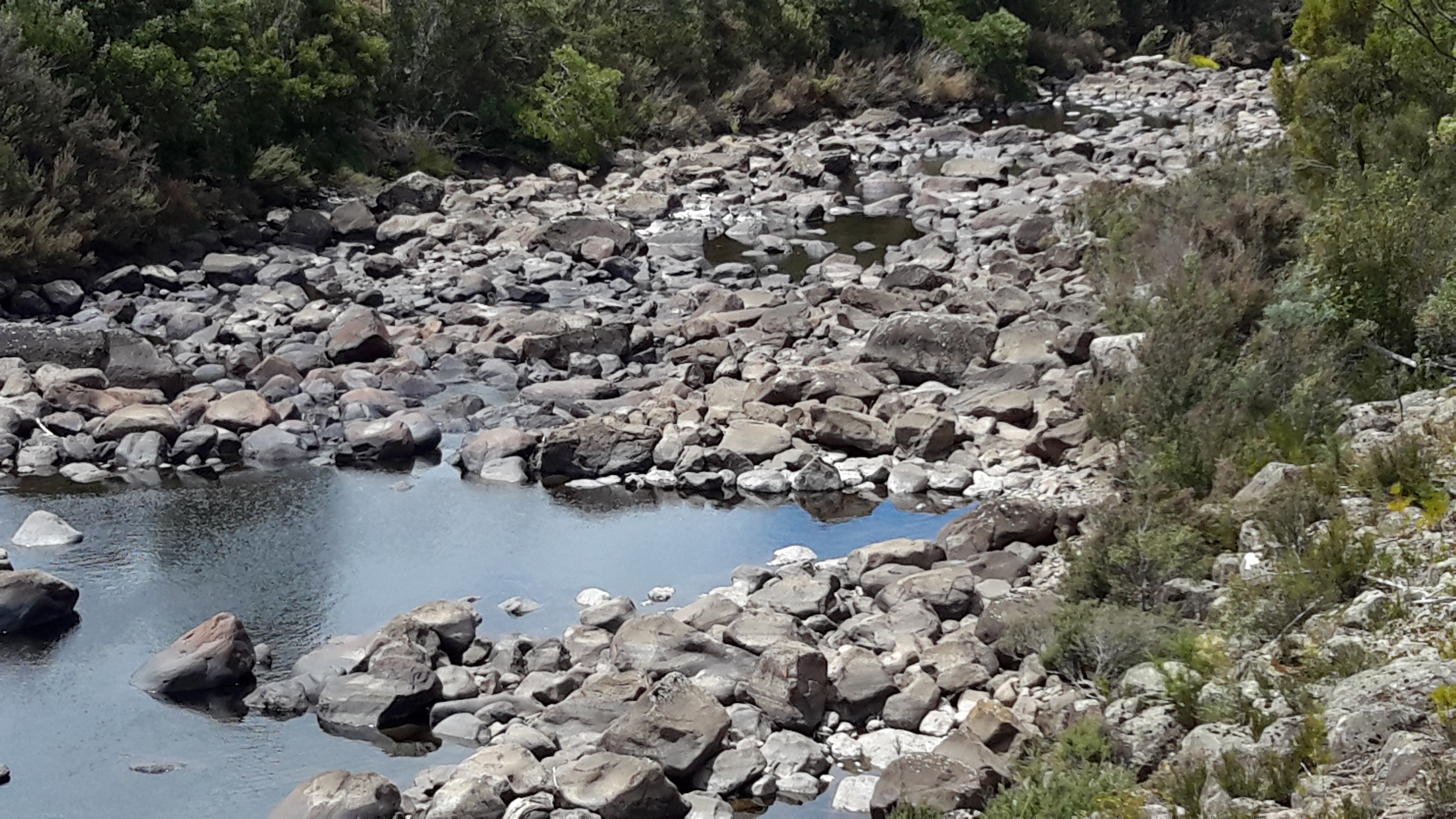
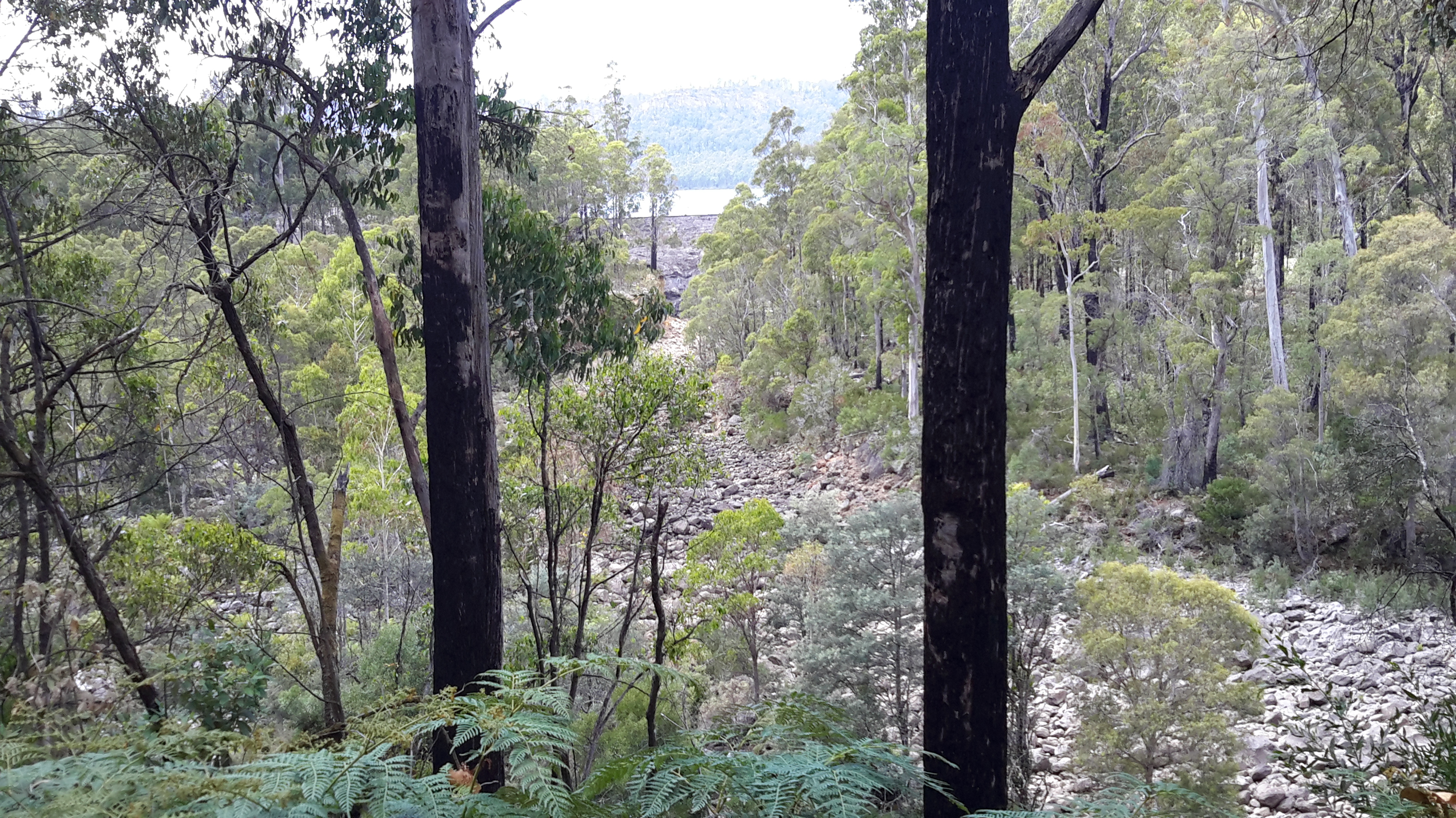
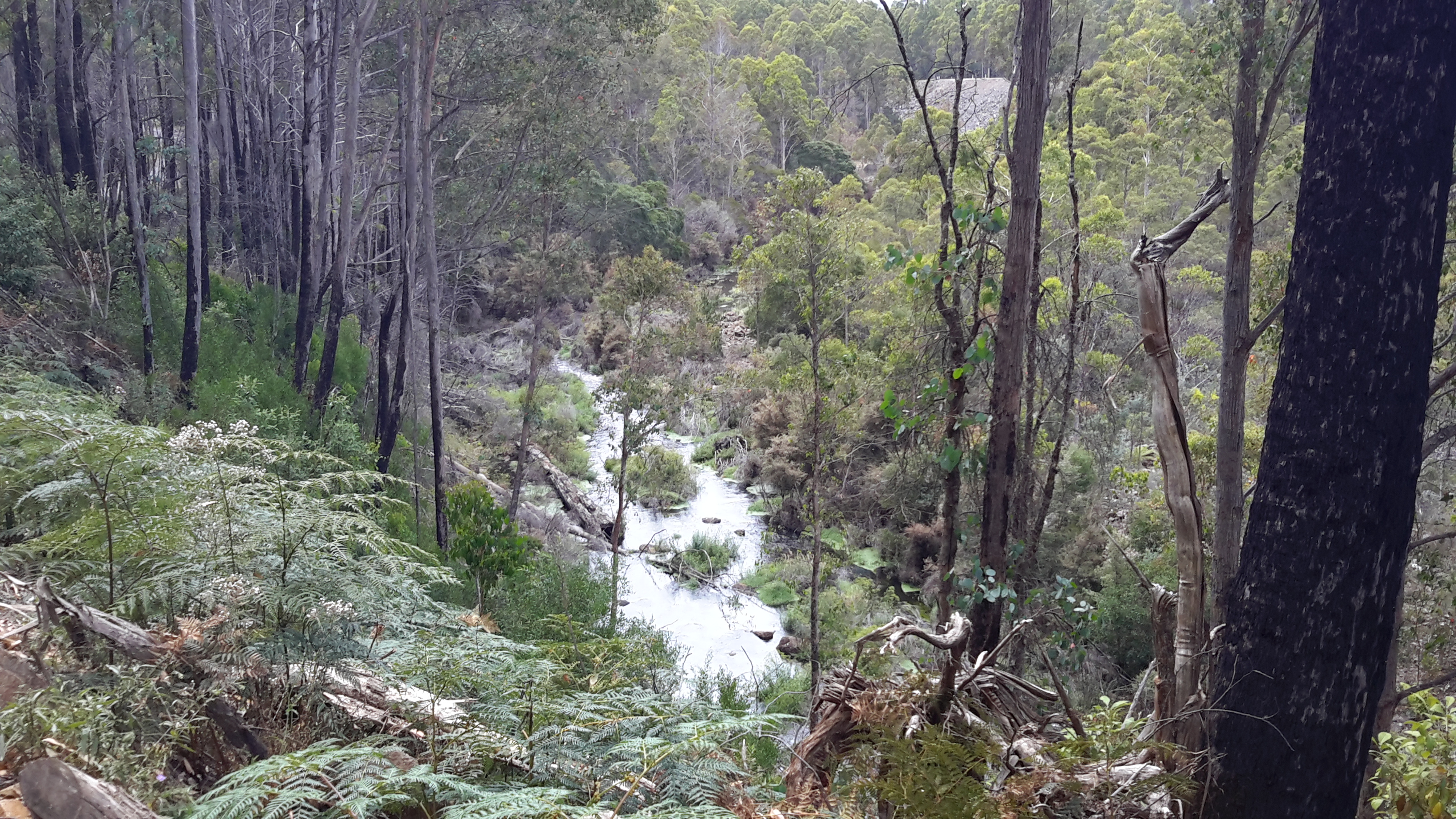
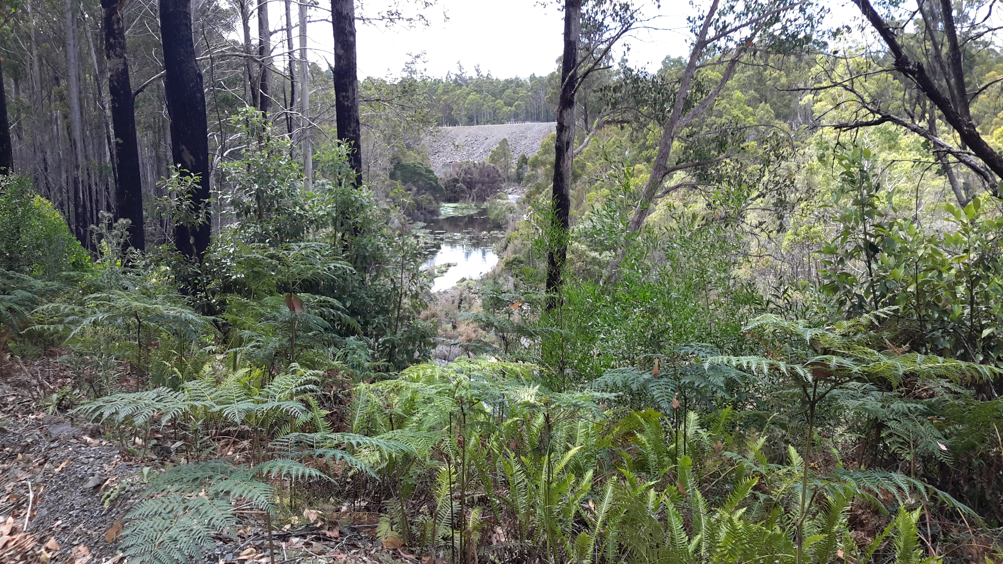
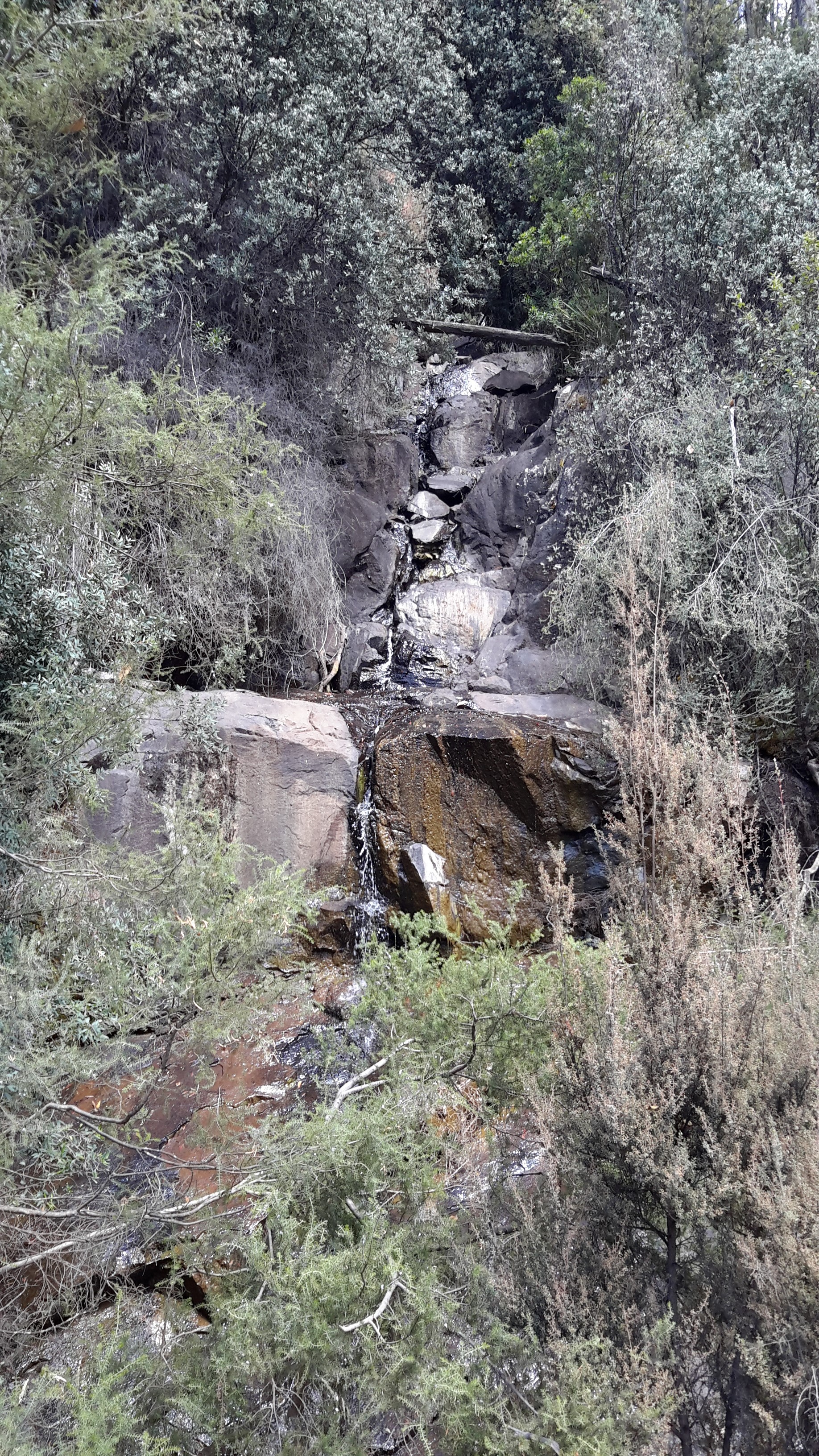
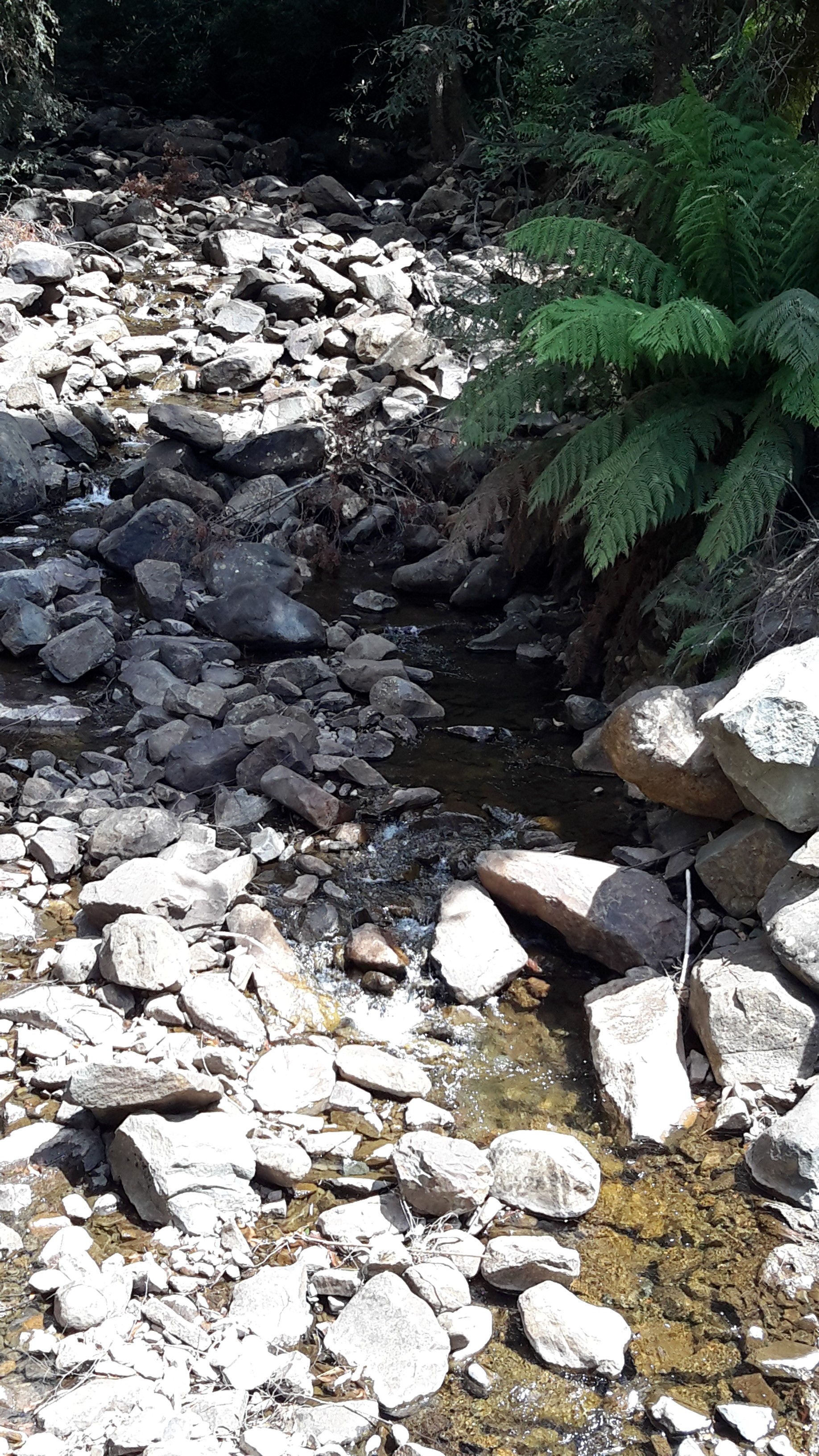
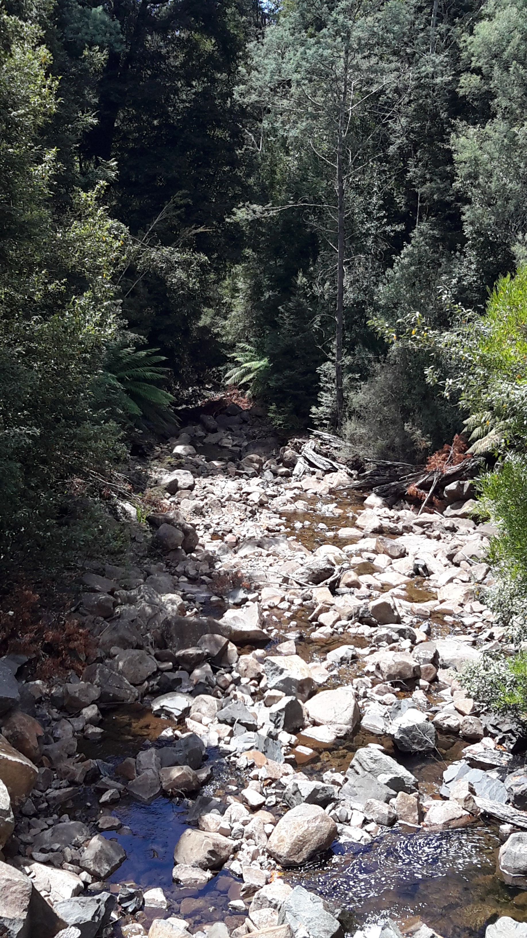
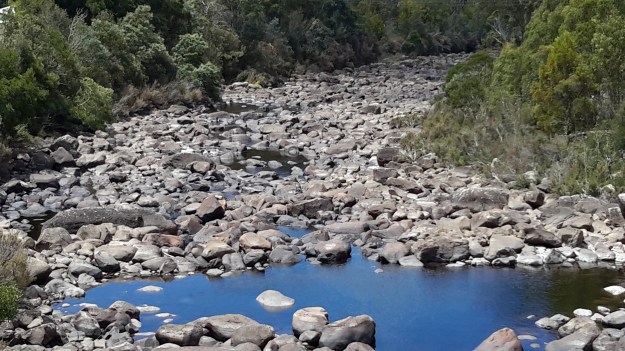
A thesis by Anna Do offers ‘SALTAS currently operates two hatcheries: Wayatinah hatchery on the Derwent River and the nearby Florentine hatchery‘. When I walked on the north/eastern side of the river upstream from the Wayatinah Power Station last year I could not identify the buildings near the confluence of the Florentine with the Derwent River. Now I understand that I was looking at the second hatchery.  In this thesis on page 8, an aerial photo of the Wayatinah hatchery shows the Derwent River with considerably more water flowing that exists today. Refer to my photos of a stony river bed earlier in this post.

More tall trees

I found the colours and textures of the tree bark along part of the Florentine Road very attracting.

20160115_125735.jpg

20160115_125755.jpg

20160115_130239.jpg


The Derwent River flows over a rocky bed

20160115_123543.jpg

As I walked closer to Wayatinah, two ‘runways’ for the water became clear.

One extended from the Wayatinah Lagoon Dam wall and this was dry. I was glad that last year I had walked around the Lagoon Dam wall and understood how the wide spill-over channel was configured, otherwise seeing the massive dry rocky bed below would not have made sense.

20160115_124455.jpg

20160115_124552.jpg

Then, at a point, I could see the Wayatinah Lagoon in the middle distance.

20160115_124742.jpg

20160115_124812.jpg

The other ‘runway’ came from I knew not where and this was the strand which had water flowing along it. To the left of the dry rocky bed the River ran – and I can see it in the photos below.

20160115_124653.jpg

20160115_124835.jpg

20160115_124859.jpg

By the time I reached the spot where I took the preceding photograph, it was clear that another dam wall was raised at right angles to the one shown in front of the Lagoon earlier in this post.  I imagined that water was being released from the Lagoon at this wall to create the flow.

Further walking released more of that dam wall to view.

20160115_124934.jpg

20160115_124954.jpgAnd down below, the Derwent River chuckled along.

20160115_124913.jpg

Streams feed the Derwent River

As dry as the landscape is, from time to time a tiny creek would cross under the Florentine Road making its way downhill to add to the Derwent River’s water flows.  Around these creeks or water seepages, a profusion of vegetation flourished.

20160115_115400.jpg

20160115_121310

20160115_121330

Native tree ferns, which need moisture, grew nearby.  Some tree ferns were tall indicating a great age.

20160115_124356.jpg

Changes to the Florentine landscape

The tall straight native trees on the upside of Florentine Road were majestic and commanding.  In many ways these were ‘the finds’ of the day as I walked towards the bridge over the Derwent near the township of Wayatinah.

20160115_115001.jpg

20160115_115005.jpg

20160115_124408.jpg

But elsewhere on the upside of the road were the marks of degradation of the original native vegetation for forestry purposes.  Acres of land across so many hills have been cleared. It was not a pretty sight.

20160115_113111 Left turn to houses and buildings near Derwent Florentine junction.jpg

20160115_113246.jpg

20160115_113252.jpg

20160115_113838.jpg

Road signs alert motorists to expect great log trucks on this road – from experience they do not drive slowly and take up much of the road because they do not expect to see other vehicles. So caution and care is important.  Motorists also need to be watchful in case one of the remaining trees should fall across the road unexpectedly.  After drenching rains, the hold of the root systems of trees into the ground can be weakened. If windy weather follows, then trees may topple.

20160115_125812.jpg