
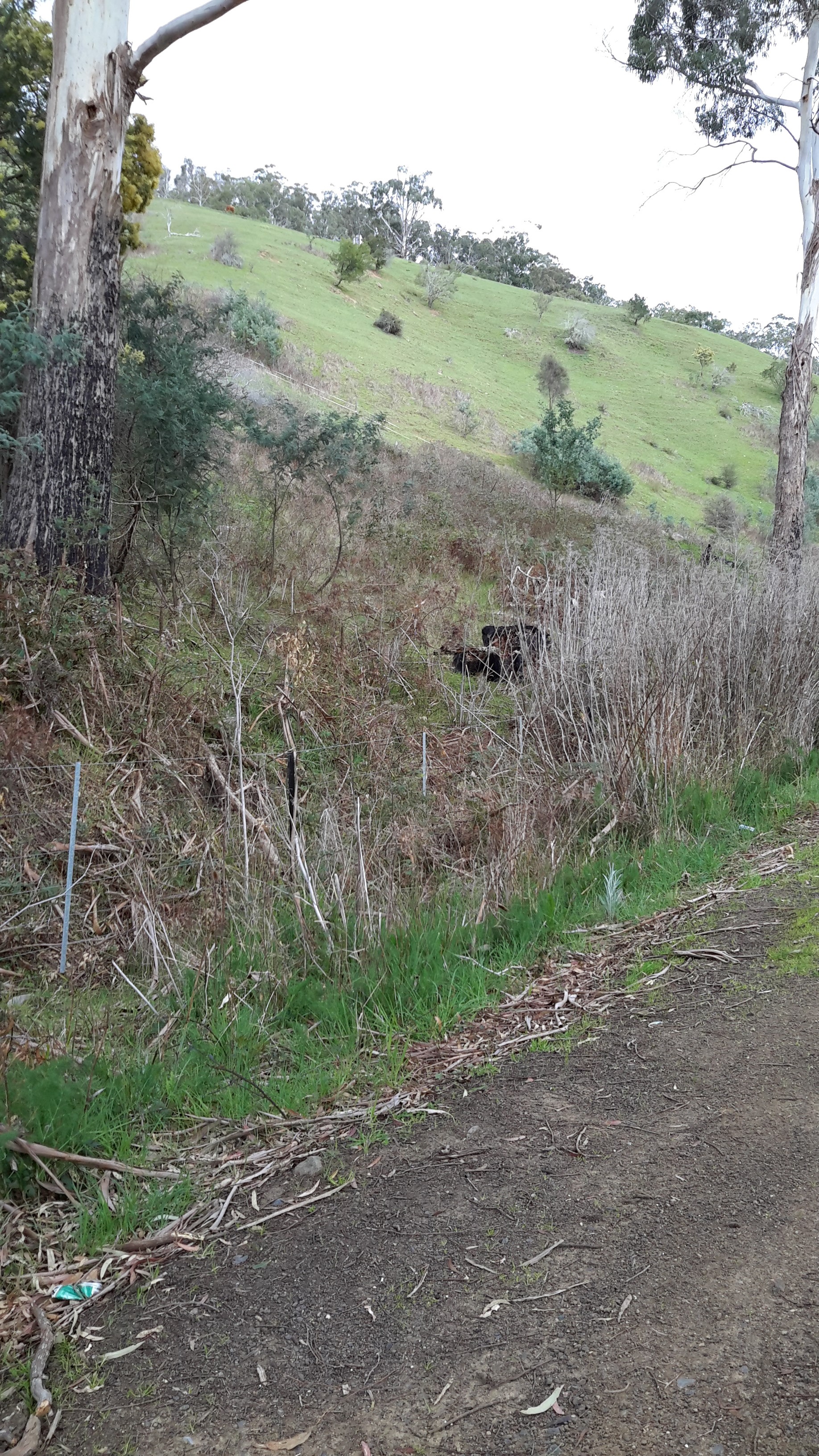
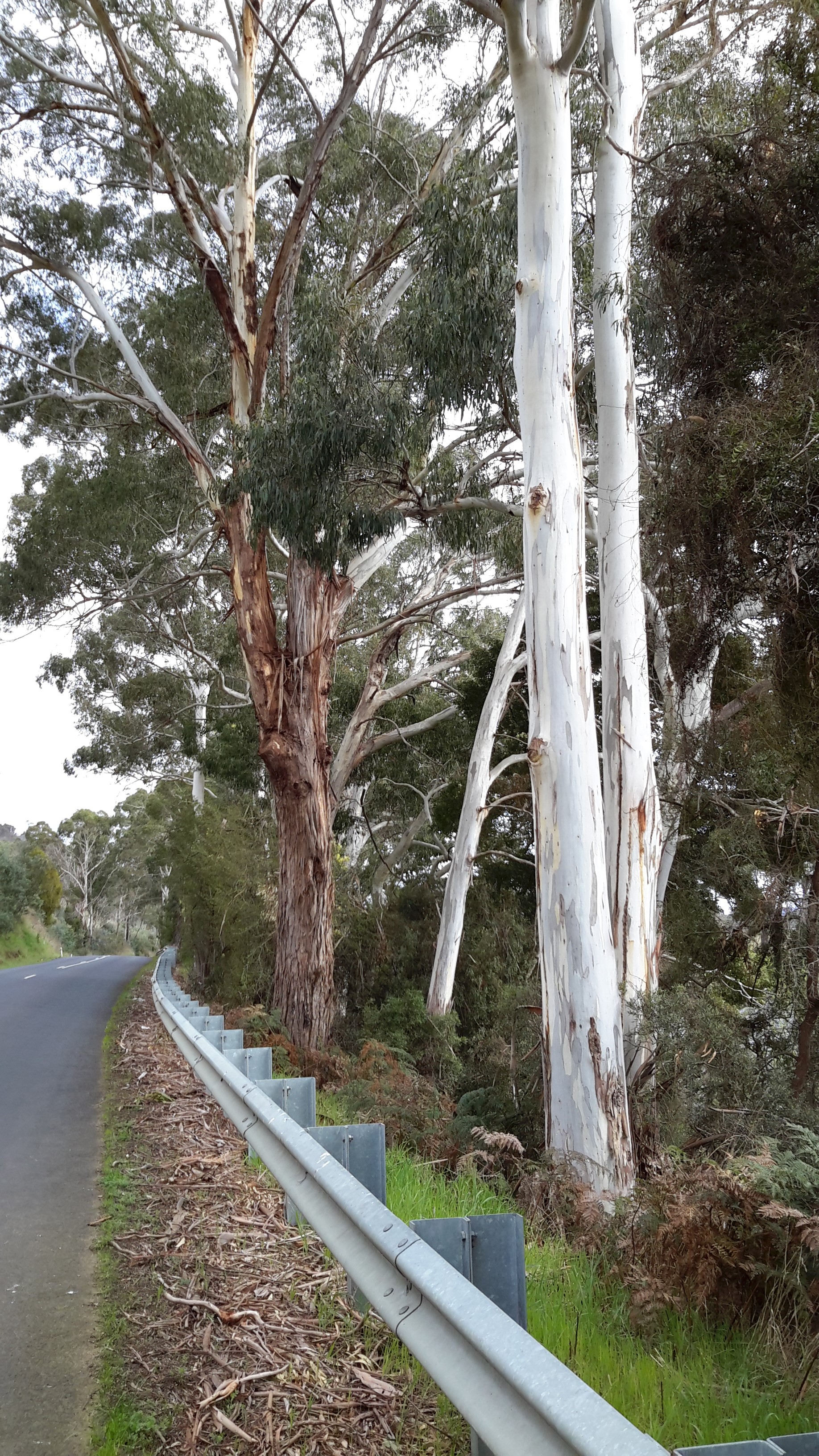
The road narrowed. The road verges reduced in width. The traffic sped past. Vegetation grew rampantly between the road and the Derwent River. The river poured towards the sea. And I walked, occasionally sipping, and wondered what I would see over each new crest or around each corner. Would I find accessible water?


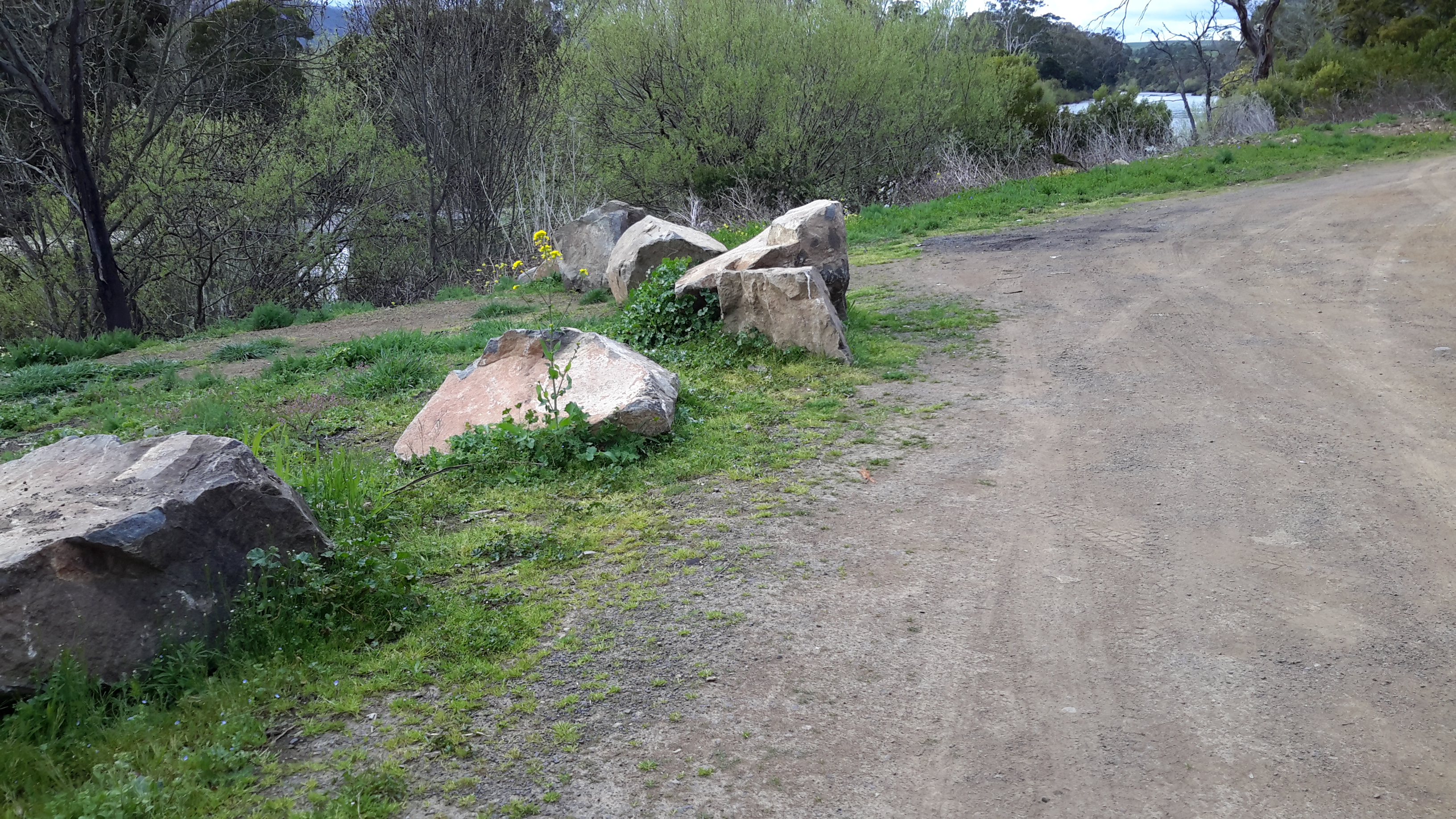
A cluster of large rocks and a pull-off area for vehicles alerted me to a new chance to reach water.
Rayners Corner
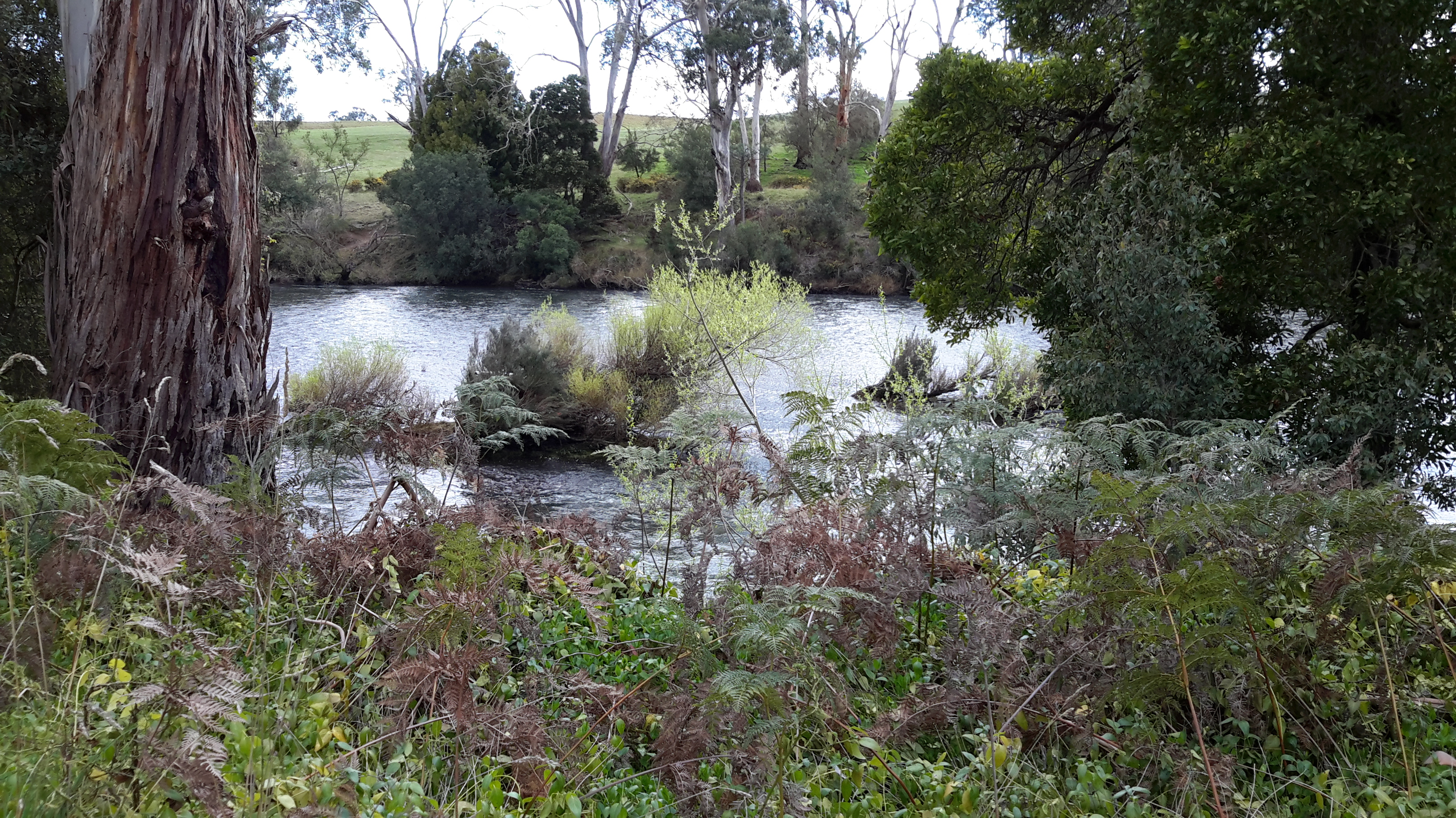
At the bottom of the incline, a rocky track was extended into the River with a few rocks – most suitable to fish from. And most suitable from which to fill up a water bottle! This location was on the opposite side of the river from a mapped point known as Rayners Corner (although not showing on Google Maps).

I sat for a while and soaked in the clean atmosphere. Looking back down the river I watched the hard glassy flows of the Derwent.

Then I made a short video scanning the environment.
Marvellous place. Marvellous water.
