
In any landscape, every hill has its ups and downs. Having crested the hill separating me away from Lake King William but with the Derwent River on my left as I walked northwards, I was astonished that I could see Lake St Clair. There, as a bright white beacon on the water surface, was the Pumphouse Point Hotel. You will need to enlarge the photo below to see the tiny white block in upper left centre. To its right a small portion of the Derwent Basin can be seen. The Derwent Basin empties into St Clair Lagoon, and where that Lagoon is dammed, the Derwent River starts its long run to the sea.

Of course the source was still a long way away, but I knew seeing this vista meant I was closing in on the point where the Derwent River started.
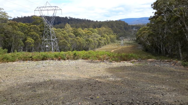
Then I started downhill on the sharp rocky track.

At the halfway down point, I photographed the view both up and down.


Before long I was walking with the River to my left and a dry forest beside me.

