
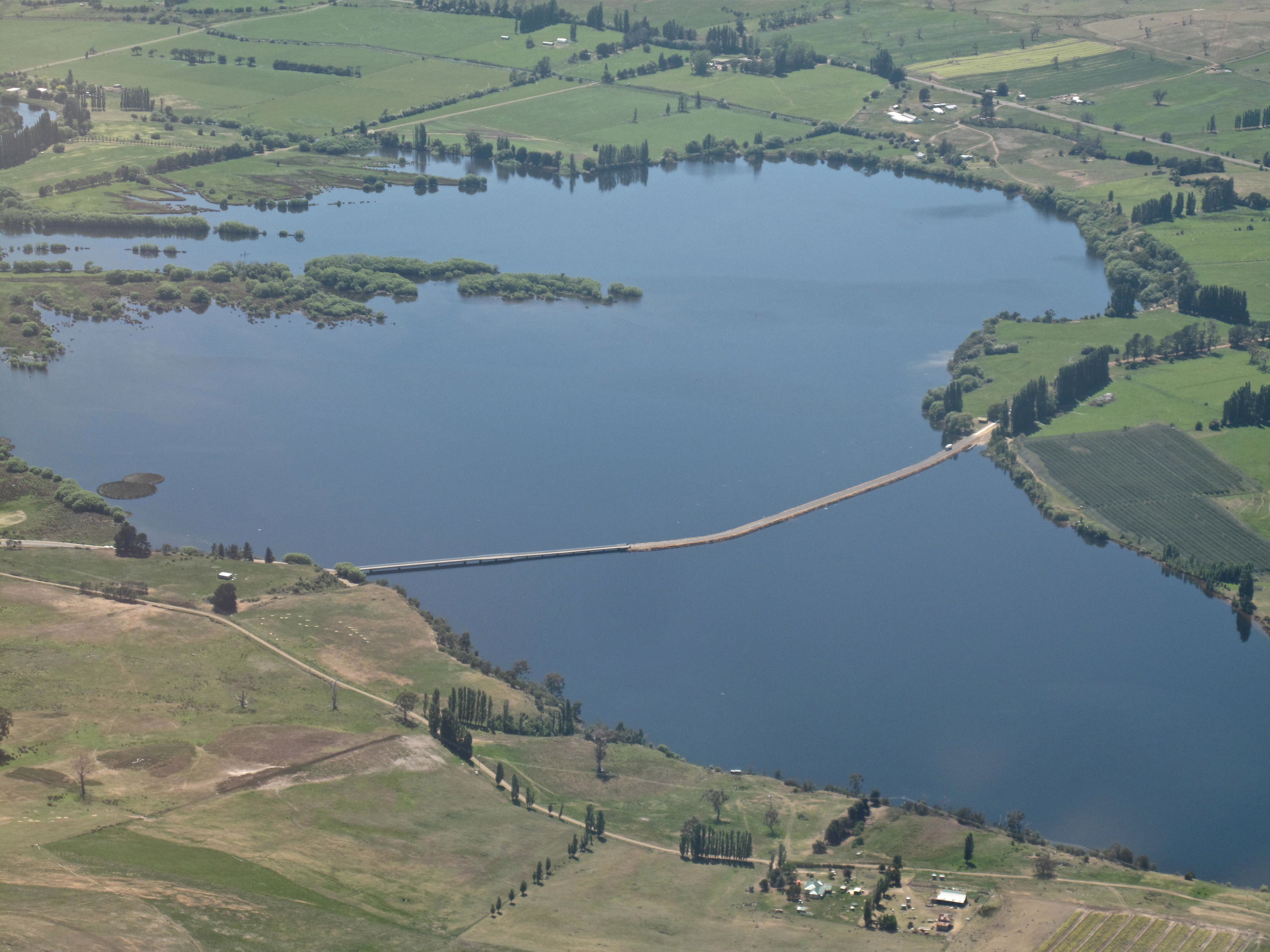
Chantale’s photo above shows the north western end (the furthest end from Hobart) of Meadowbank Lake. You can see the trail of Dunrobin Bridge strung across.
Collecting historical information about Meadowbank is not easy, however the information I have located has added to my store of knowledge.
According to Environmental Flows for the Lower Derwent River Final Report to DPIWE February 2002 Freshwater Systems, Meadowbank Dam is located approximately 107km upstream of the river mouth. This report divides the lower Derwent into ‘two major sections: 1. The lower River Derwent – the freshwater river between Meadowbank Dam and New Norfolk; and 2. The upper Derwent estuary – the estuary between New Norfolk (in the vicinity of the upstream tidal limit) and Bridgewater.’
A brochure providing information about access to Meadowbank Lake for anglers includes details about Recreational Fishery Management (Meadowbank Lake is managed by the Inland Fisheries Service as a Family Fishery and is open to angling all year round. Regular stocking with brown trout, rainbow trout and trophy sized Atlantic salmon maintains the quality of the angling.); Native Fish Management (The short-finned eel (Anguilla Australis) is stocked upstream of the dam wall. The blackfish (Gadopsis marmoratus), which is native to northern Tasmanian rivers, has been introduced into the Derwent system and may be encountered in the lake.); and Pest Fish Management (Meadowbank Lake has populations of the pest fish species, redfin perch (Perca fluviatilis) and tench (Tinca tinca). If either of these species are caught, anglers are asked to humanely kill the captured fish and dispose of appropriately.)
Discover Tasmania provides information which encourages access to and usage of the Lake and its shores.
Wikipedia gives background information about the Power Station.
The September 2013 LAKE MEADOWBANK PLANNING PROJECT BACKGROUND REPORT prepared for the Central Highlands Council in partnership with Hydro Tasmania and the Department of Economic Development, Tourism and the Arts includes panoramic photographs of the Lake and explanations of many of its aspects.
Hydro Tasmania provides information about Lake- side facilities and also about changing water levels.
A little history associated with Meadowbank Farm since the 1970s can be read at this site.
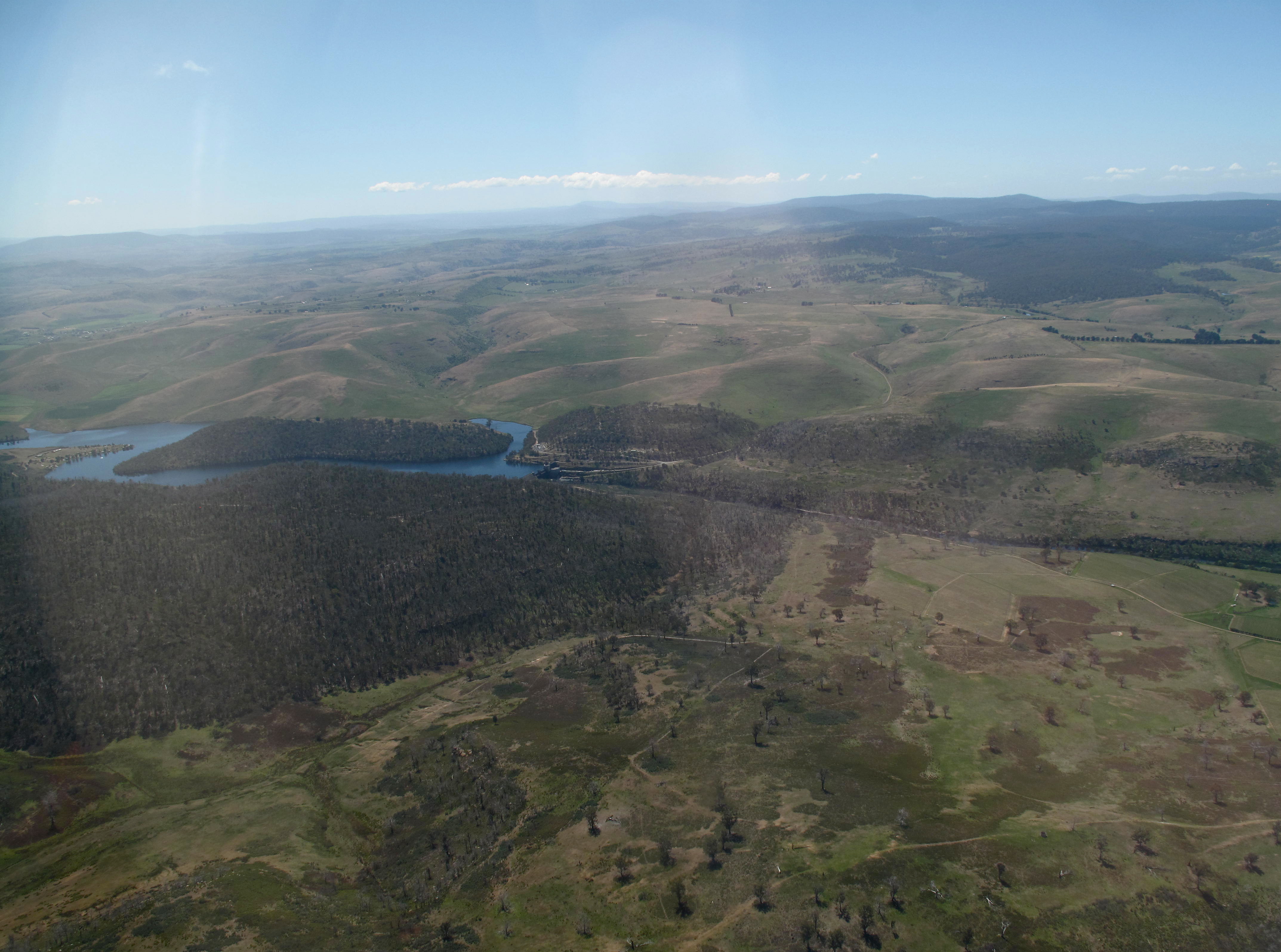
Perched between treed hills sits Meadow Bank dam, roughly 15 kms downstream from Meadowbank Lake’s far western end. Chantale’s photo shows the start of that water catchment behind the dam wall and the Meadowbank Power Station nestled at its feet.
