
After I walked from the Lyell Highway at the Butlers Gorge junction and then proceeded to follow Tarraleah Canal No 1 (which contained the bulk of Derwent River water) to Clark Dam holding back the waters of Lake King William, I returned home and checked my photos. I found some key photos were absent.
I realised that my feet must have been exceptionally painful and my sore knees crumbling so that I was unable to remember to keep taking photos in that last kilometre of the walk. I had made no record of those last few hundred metres. Thanks to blog reader Jeanette I returned to the spot one gorgeous morning, walked up and down the area and clicked lots of photos.
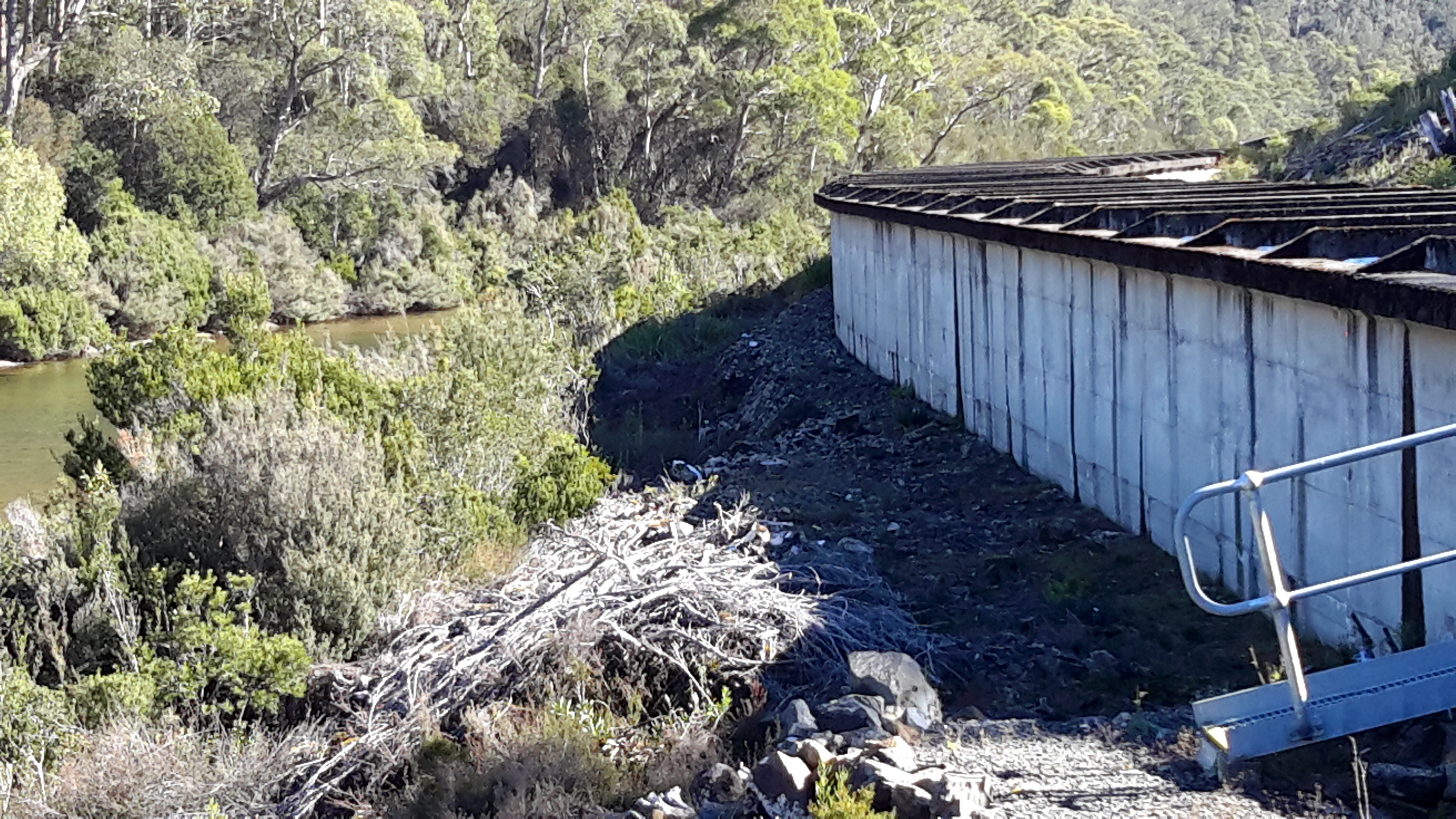
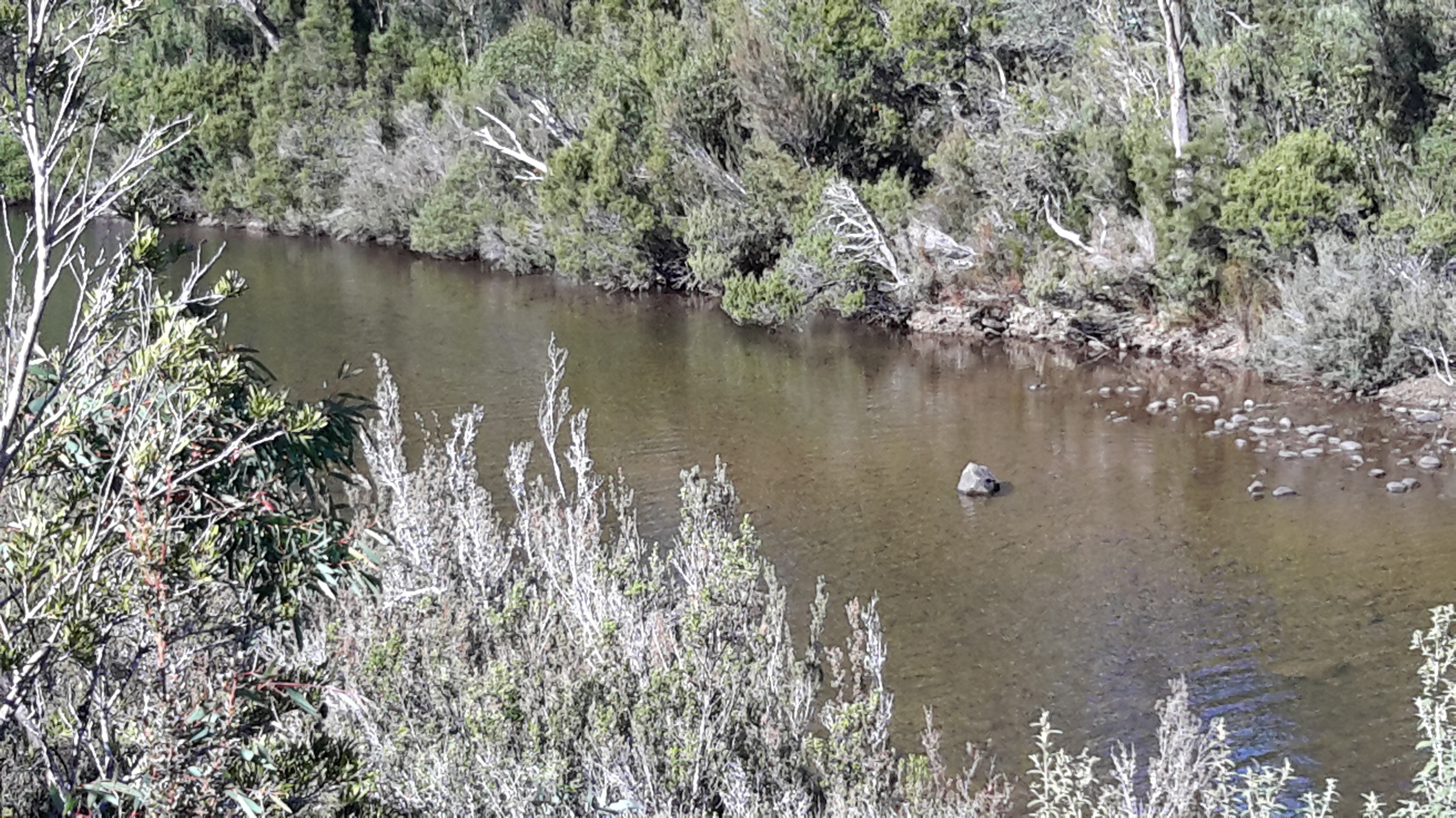
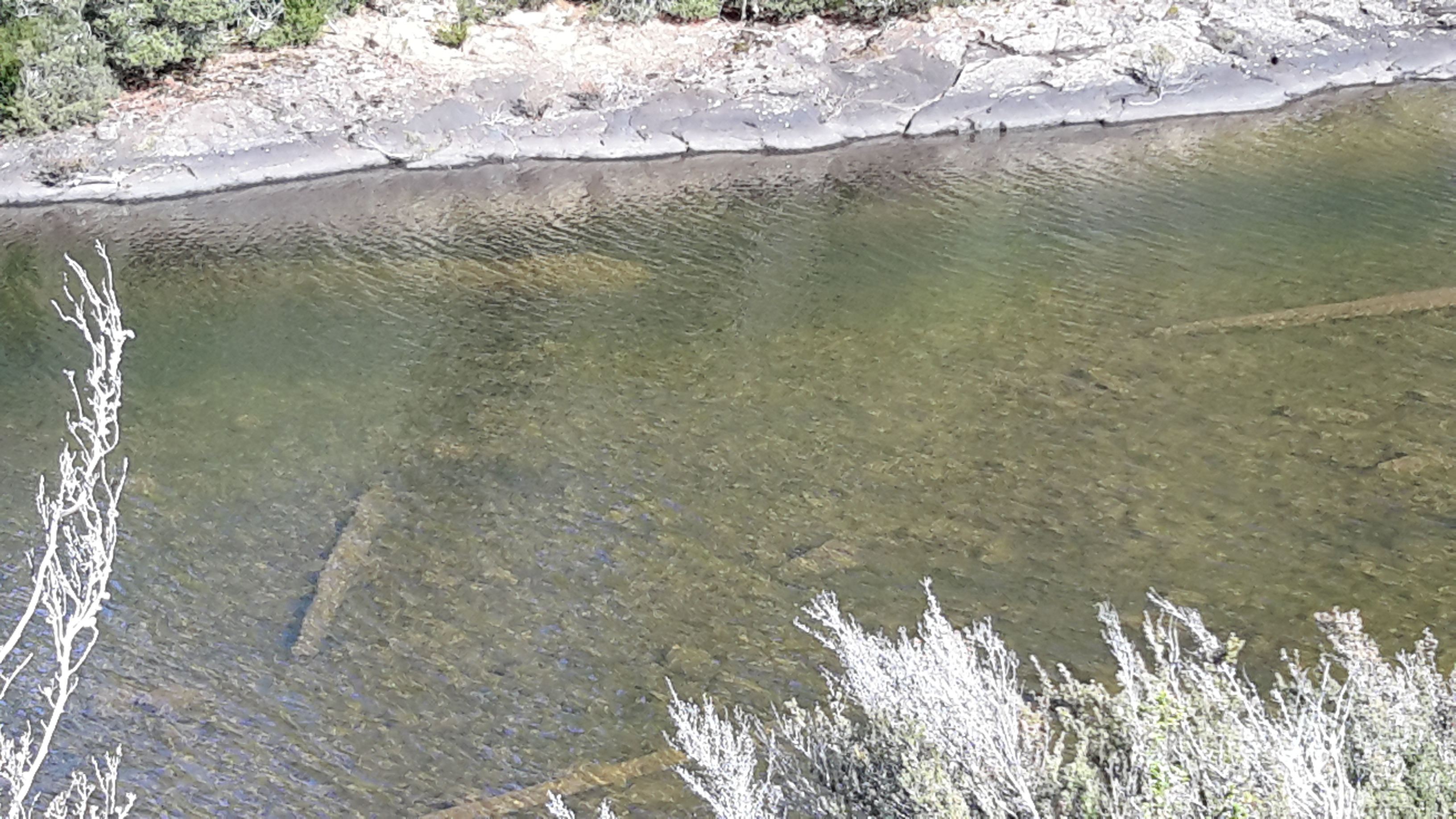
At one place we crossed the aqueduct and looked at the serene and clear Derwent River. 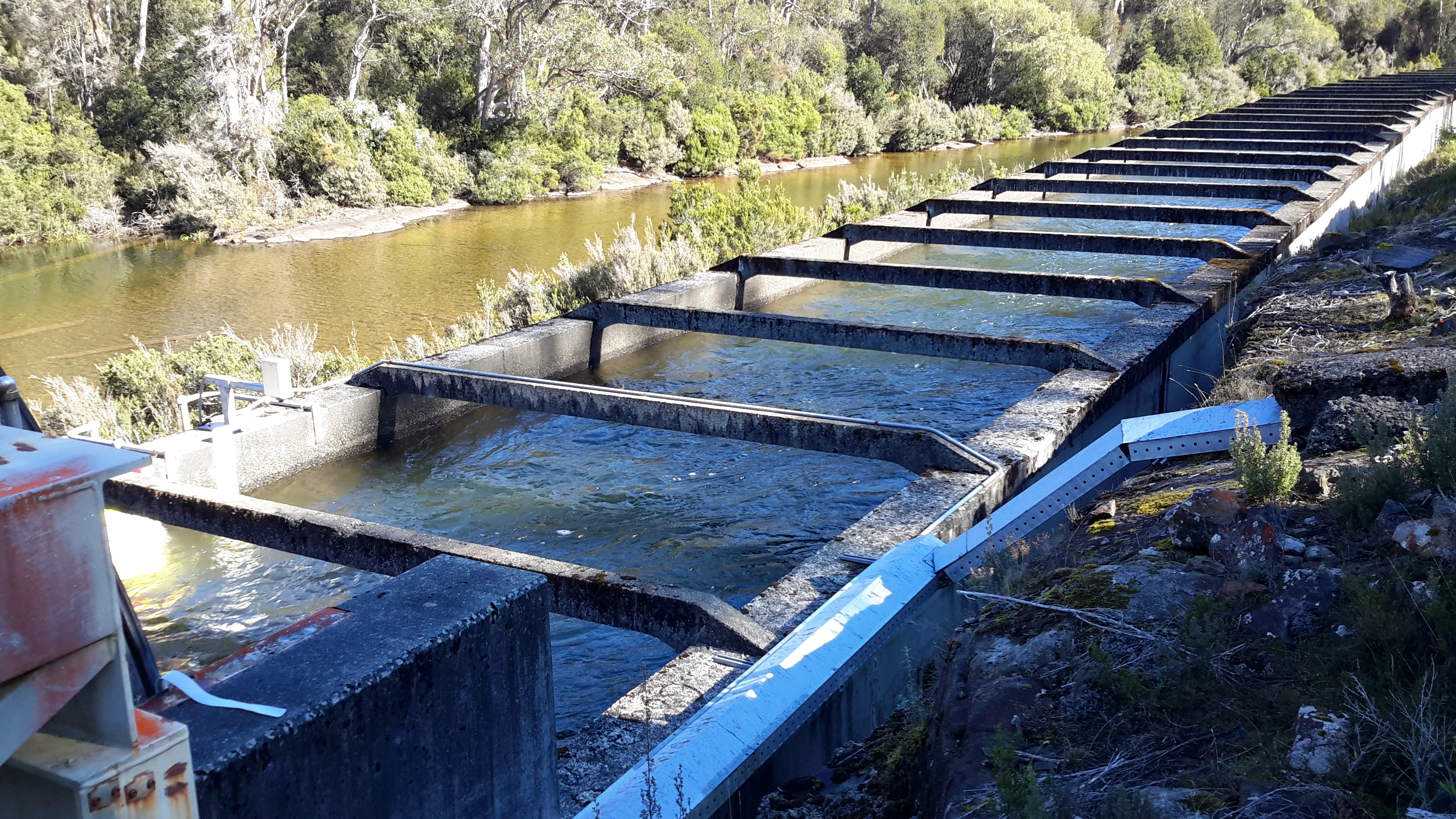

The rush of the water through the Canal was recorded. Watch this video.

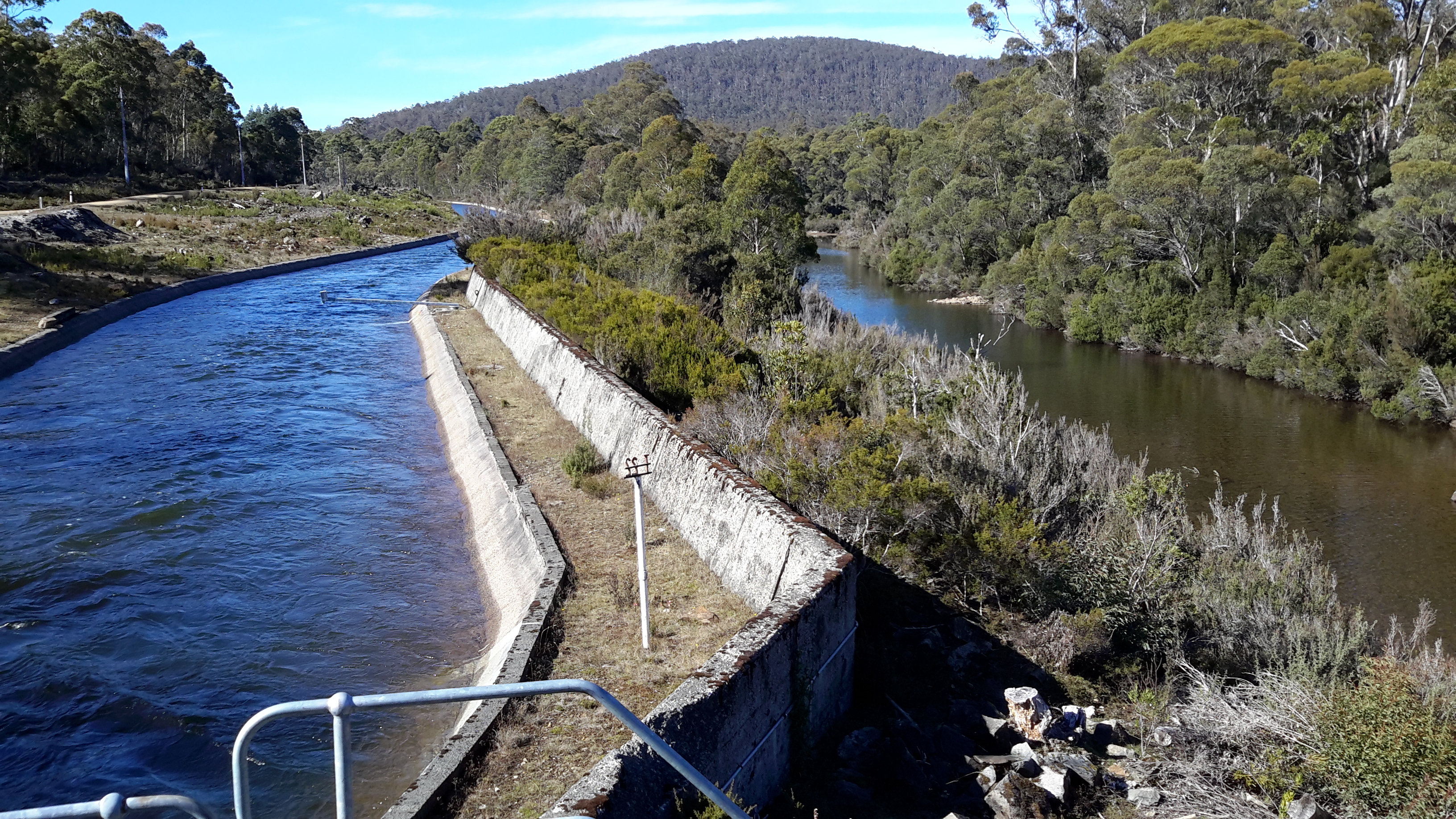
I loved the views looking along the two strands of the river; the water in the original river bed, and the water in Tarraleah Canal No 1.


The rocky edges of the river shown above indicate that water is released from Clark Dam from time to time making the river wider.
