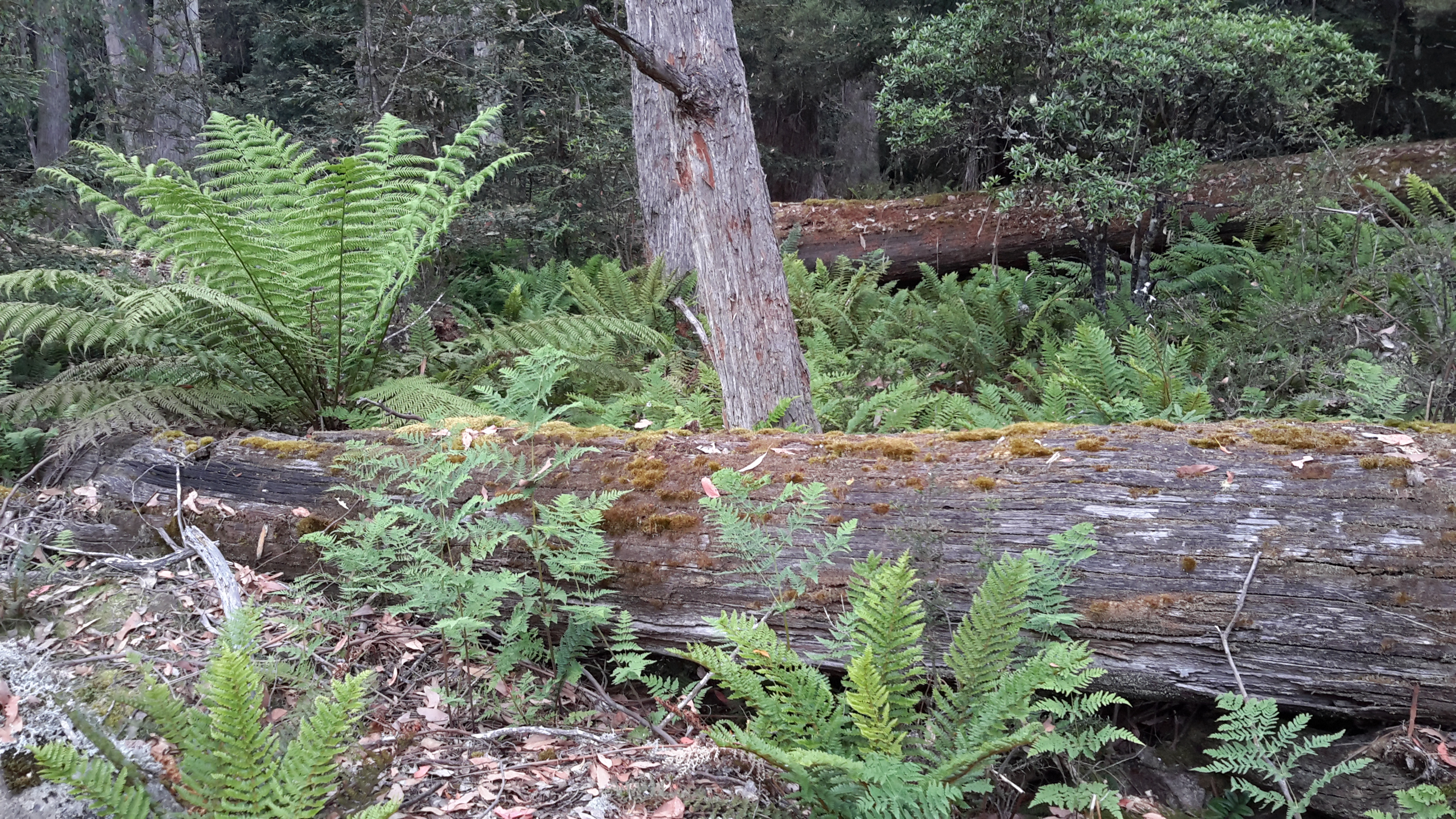
Four options are possible for walking along the eastern side of Lake King William (through which the Derwent River flows): walking on the rocky shore because the Lake’s water level is down 75%; following four-wheel-drive vehicular tracks; using the low level vegetation of the regrowth area beneath the power lines; or ‘bush bashing’ to make a new track (I never considered this option except in one trackless area). I found all options needed to be used at some stage along the way.
Tassie Trails indicates Lake King William is a remote area where the chances of meeting other people is unlikely. The site suggests walkers/cyclists/bike riders will get wet feet. I am pleased to say it was drier for me and my feet were never in mud or creeks despite my not taking any inland directed tracks. Tassie Rambler also describes a bike trip along these tracks, as well as how the writer coped with a trackless section. I will refer readers to this site in a later post to use its photos for comparison purposes against how I proceeded for part of my walk.
4WD-drive vehicular tracks criss-cross the area near Clark Dam but soon simplify into the one track mapped as the Switchyard Track. Despite the above two sites promoting the use of a mountain bike, I suspect cycling would be painfully jarring because mile after mile of the tracks are constructed from various sized sharp lumps of unevenly laid blue metal (dolerite/bluestone). The rocks are loose and mobile so constant vigilance is required for walking.


Some days I envy the British and Irish for the ease and simplicity of their towpaths and century-old established walking paths and rights of way next to their rivers and canals. But then I remember, as I walk in the Tasmanian wilderness, I am the only one around smelling and hearing and seeing an extraordinary diversity of wild nature and it my responsibility to determine the way to my destination. I am incredibly privileged.