
Through the bush near the town ship of Derwent Bridge, many tracks criss-cross the landscape and I can see that some might get lost – and the maps do not show all tracks. However, no walker should have a problem if s/he remembers that going downhill will either bring him or her out onto the Derwent River or onto the Lyell Highway.
Nevertheless, when I came across a series of stones arranged into an arrow pointing along one track, I chose to believe it was the best track to take.
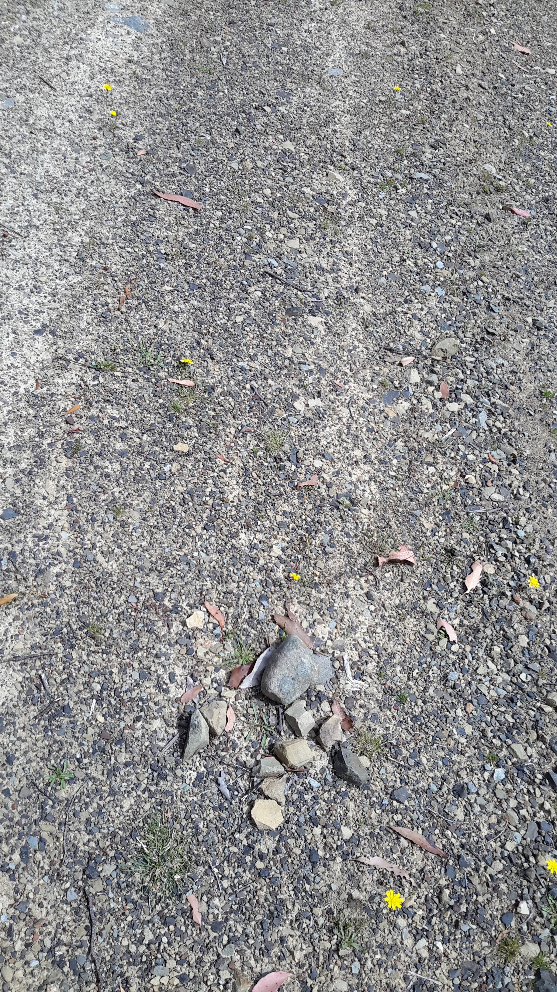
Of course it was a risk to trust the arrow, because the stones could have been arranged for other purposes rather than to get someone to the town of Derwent Bridge by the shortest route. I was pleased that sometime later, the Lyell Highway was in front of me albeit with a padlocked gate between us. When I walked onto the road and looked back, this is what I saw.

That was the first and only sign between Clark Dam and the southern end of Lake King William and this gate that indicated I was walking on private land which I should not be on. Too late! I have arrived.
The Derwent River was not far away. It is located between the gate and the Derwent Bridge Hotel 250 metres westwards.

I was elated because I arrived in Derwent Bridge a day earlier than I expected. A lovely surprise.
