
At 6 am, my day started with soft clouds. And it was cool; just perfect for walking. It was only later, around midday, that I removed my jacket. Each of the sky, the water of Lake King William and the air seemed silvery. Perhaps I was influenced by the beautiful soft grey colours of the driftwood and dead trees. Serenity.
Before departing my camp site, I filled my water bladders with Lake water. Later, when staying in Cabin accommodation at the town ship of Derwent Bridge, I poured some water into a sparkling clean glass. I was surprised. The water was crystal clear. No sediment. No wriggling larvae. As I thought; this was pure water. Marvellous!
Time sped fast while I slowed down. It was 7.30 am before I started walking.
It wasn’t long before Mount Charles stood ahead to the north. I knew I needed to find a way to walk around its left-hand side.

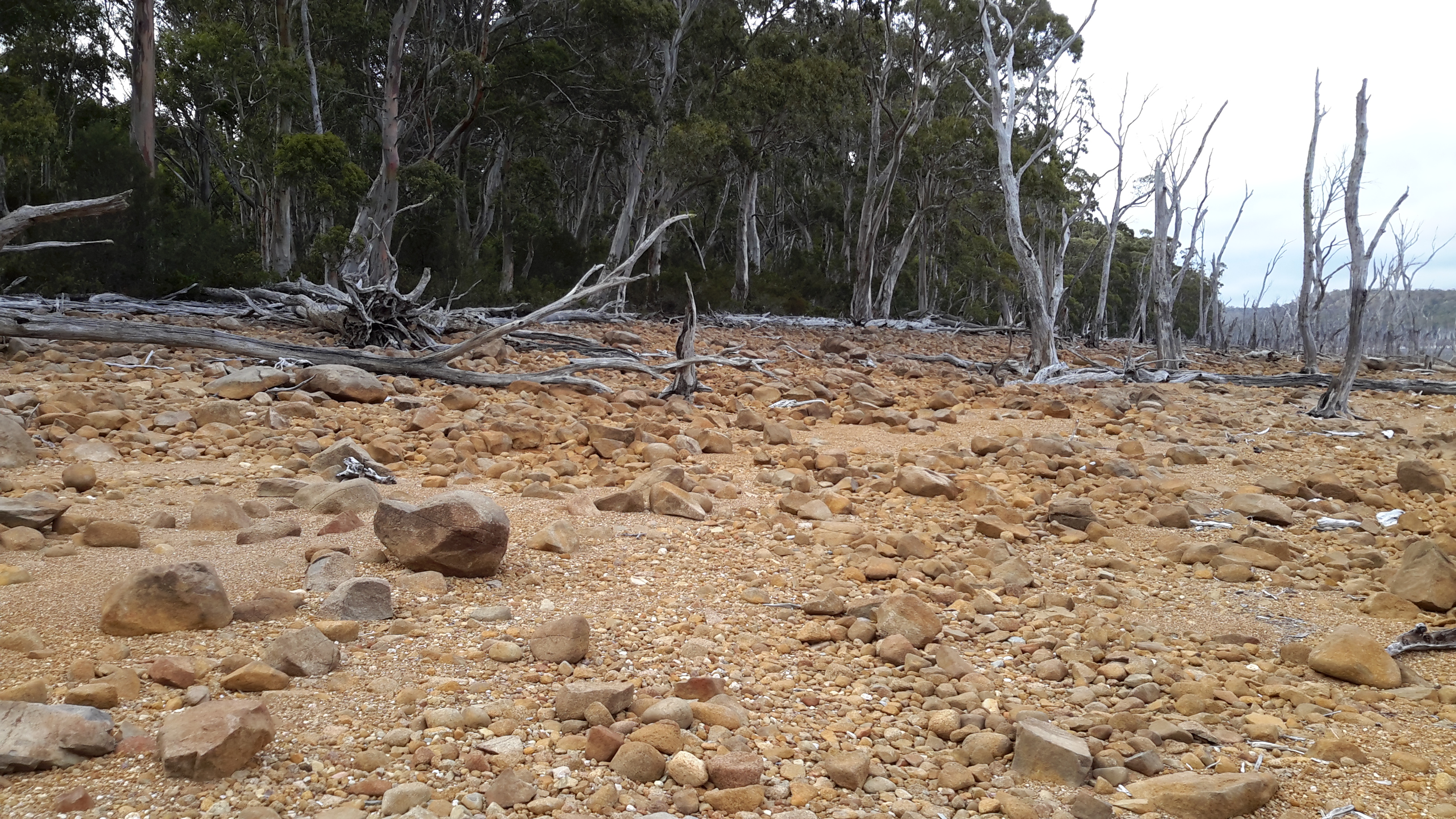
The night before, from the rocky shore I could see Charles. In the photo below, at some distance to the left of the Mount I picked out a U shaped cut in the landscape. From the map, I knew the electricity transmission line pathway passed through that gap.
I expected to walk in the regrowth up that hill. In a direct line, approximately 2kms separated my camping site from the foot of that hill. Between the two locations the map indicated a swampy area. Google Maps show a water-filled bay. No crossing tracks are evident.
What Google Maps show:

What I saw from the south eastern end:

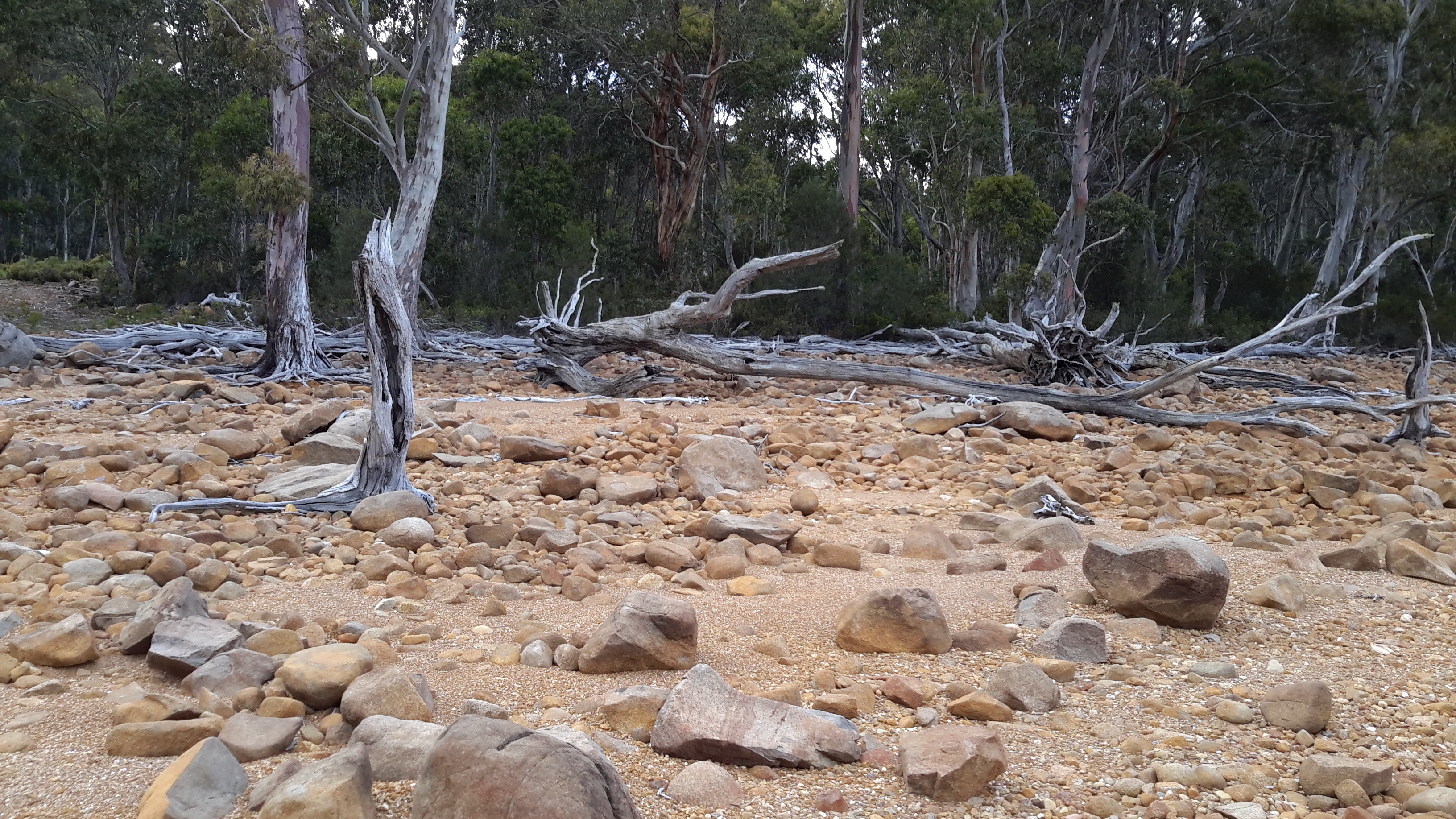
What I saw from the north western end with a sliver of Lake King William in view:

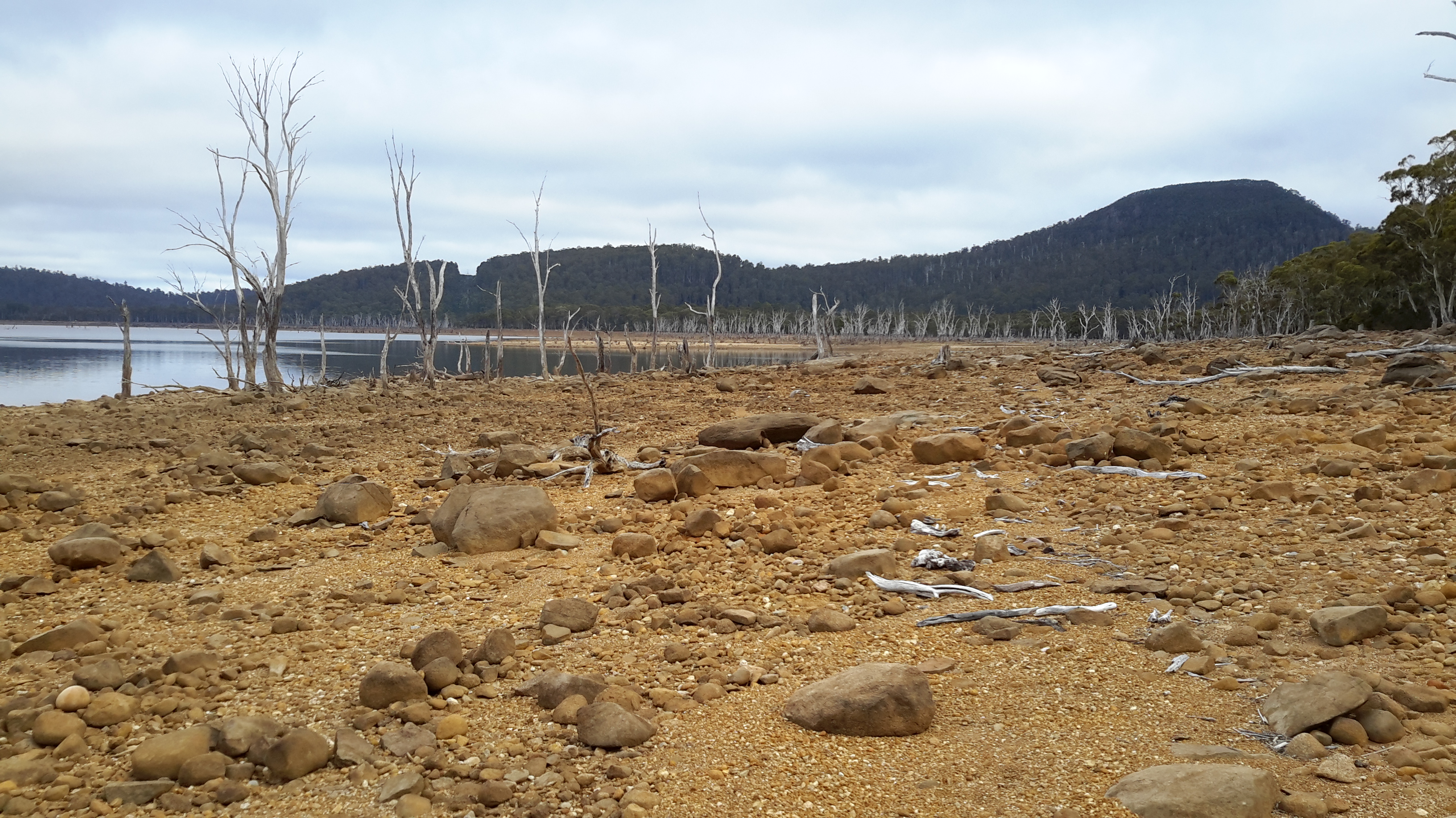
What I saw from the north western end looking inland back towards where I had crossed:

I imagine you are thinking this ‘plain’ which was once filled as part of the Lake, would be easy to cross, and that it would take me no time. Well my story is different from those expectations. I took three hours to cover the 2kms from the camping spot to the foot of the hill with the transmission line . Despite my experiences, I visualised my progress and could see the funny side.
The story starts as I walk towards Mount Charles and will be detailed in the next post.
